Challenging Road Cycling Loop to Brommybalkon
A road cycling route starting from Oberschoeneweide
Embark on a challenging road cycling loop to Brommybalkon and conquer impressive hills along the way.
Map
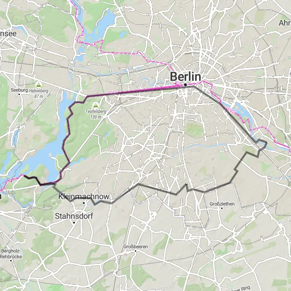
Get ready for a thrilling road cycling adventure starting from Oberschöneweide and leading you on a challenging loop to Brommybalkon. Covering a distance of 76 kilometers and featuring a demanding ascent of 323 meters, this route is designed for experienced cyclists seeking an extra level of challenge. Enjoy the highlights of Johannisthal, Schlehenberg, Teltow, Schäferberg, Havel, Charlottenburg, Brommybalkon, and Linden-Pavillion, and marvel at the stunning views and historical landmarks that dot the landscape.
road
76 km
323 m
Savage
Route profile
Highlights on the route
0 km
0 km
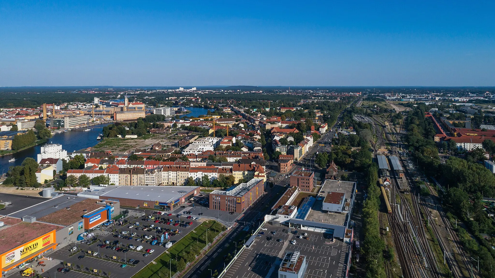
Start: Locality centerOberschöneweide: Dynamic urban cycling in vibrant Berlin district
Oberschöneweide, Germany is a district located in Berlin. Similar to its neighboring district Niederschöneweide, Oberschöneweide may not offer any famous cycling spots or natural landscapes. However, cyclists can still enjoy exploring this vibrant and dynamic city district on two wheels. Oberschöneweide is well-connected with cycling paths and offers a plethora of cultural attractions, including museums, art galleries, and historic sites. In addition, cyclists can also discover the scenic waterfront along the Spree River, providing a pleasant cycling route with picturesque views. While not a traditional cycling destination, Oberschöneweide offers a unique and diverse experience for urban cyclists looking to combine their love for cycling with exploring the rich history and culture of Berlin.2 km
2 km
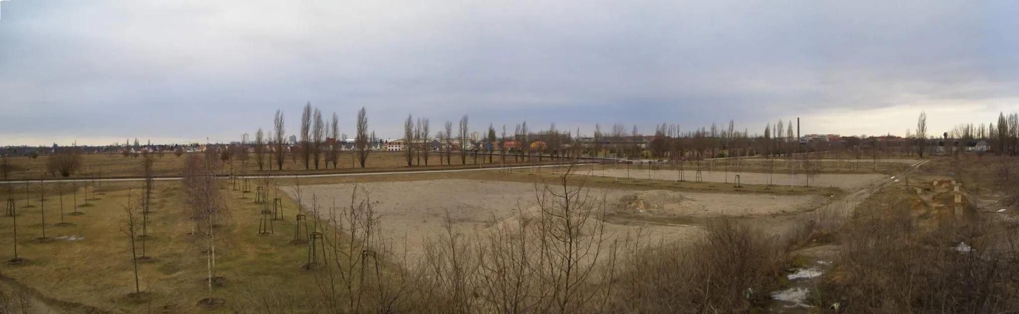
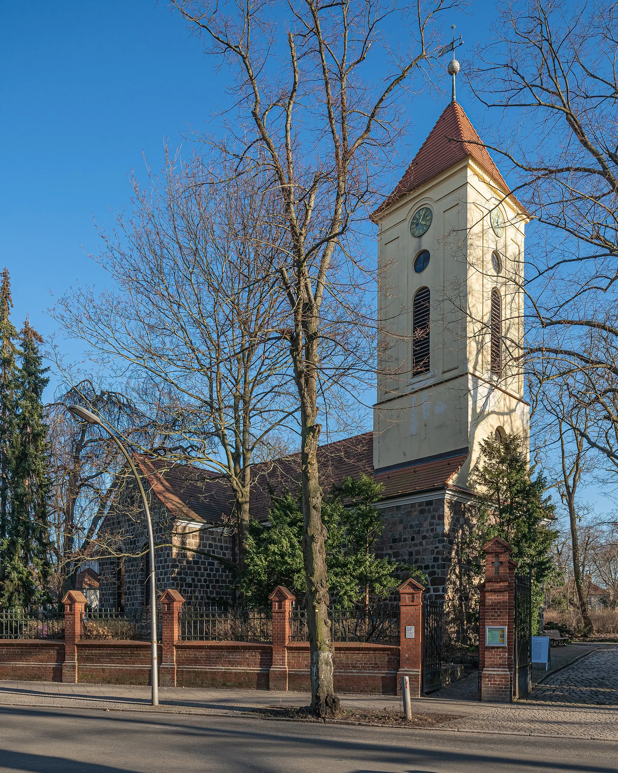
JohannisthalSub-urbBegin your journey in Johannisthal and explore its unique blend of history, culture, and vibrant street art scene.
16 km
16 km
Schlehenberg64 mPeak ViewpointChallenge yourself by conquering the steep ascent of Schlehenberg and enjoy the rewarding views from its summit.
24 km
24 km
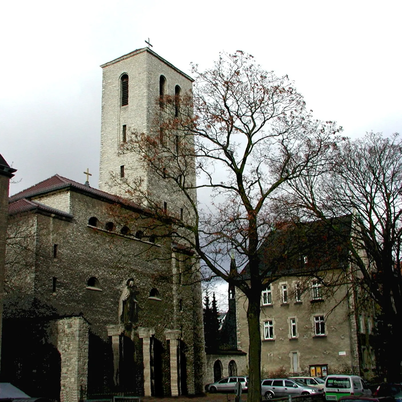
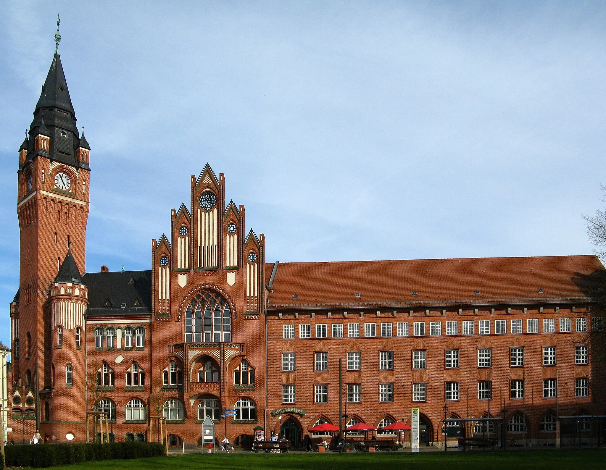
TeltowTownStop by Teltow and immerse yourself in its rich heritage, taking in the stunning architecture of its historic buildings.
36 km
36 km
Schäferberg103 mPeakEmbark on a thrilling climb up Schäferberg and witness breathtaking panoramic views of the surrounding countryside.
45 km
45 km
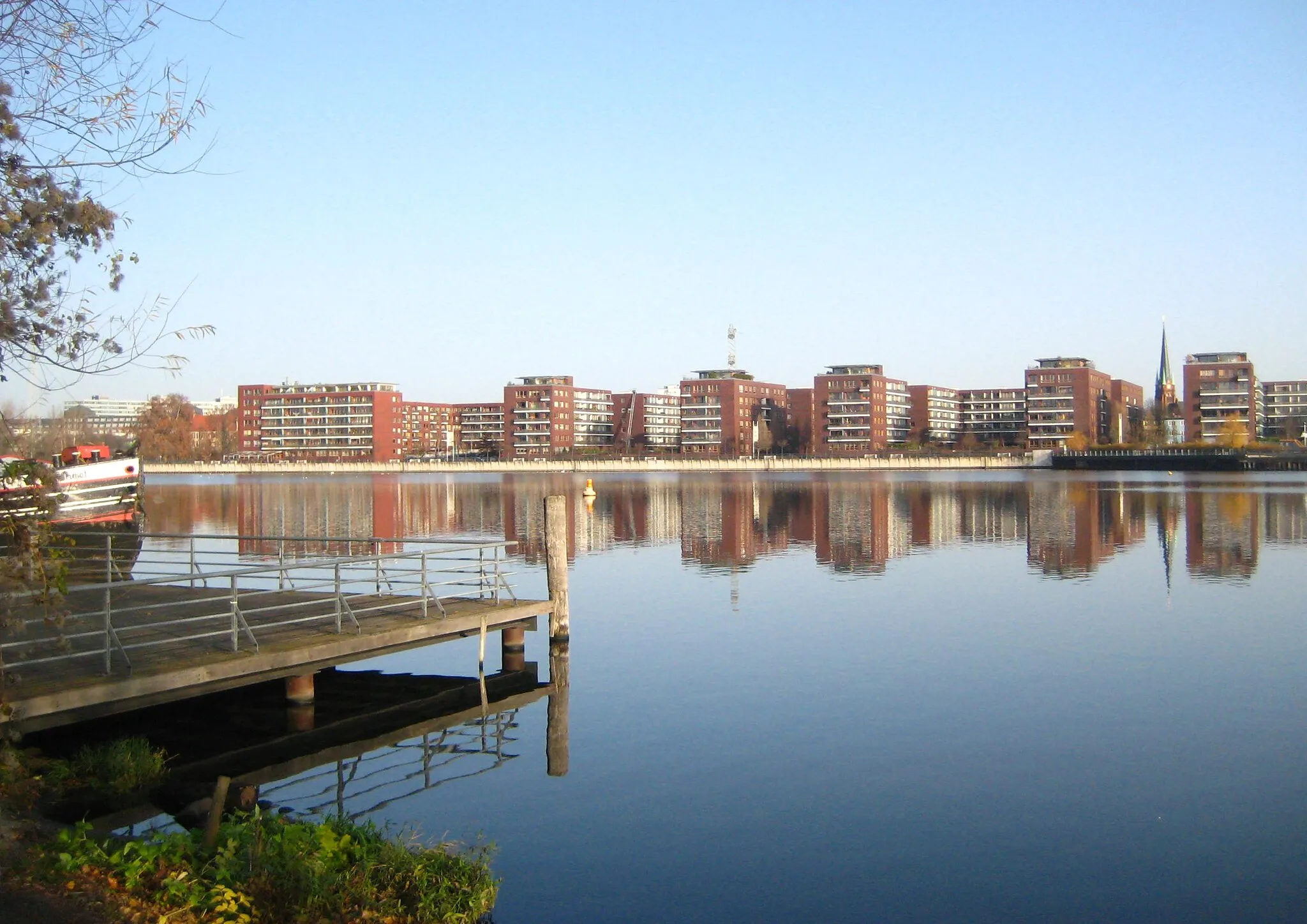
HavelLakeMarvel at the beauty of the Havel River and its tranquil surroundings as you pass by this scenic highlight.
58 km
58 km
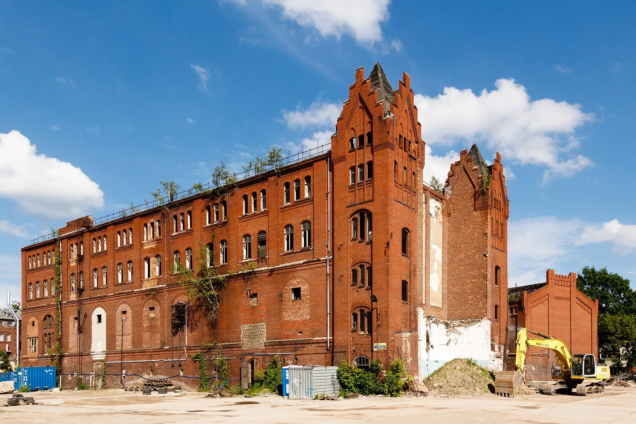
CharlottenburgSub-urbDiscover the vibrant district of Charlottenburg and its impressive array of cultural landmarks, including Charlottenburg Palace.
68 km
68 km
BrommybalkonViewpointCross the iconic Oberbaumbrücke, offering stunning views over the Spree River and connecting Friedrichshain and Kreuzberg.
69 km
69 km
OberbaumbrückeAttractionReach Brommybalkon, a popular viewpoint in the city, and take in the panoramic vistas of Berlin's skyline and the river.
76 km
76 km
Linden-PavillionShelterComplete your journey by visiting the scenic Linden-Pavillion, a perfect spot to relax and enjoy the beauty of nature.
76 km
76 km
Finish: Locality centerOberschöneweide: Dynamic urban cycling in vibrant Berlin district
Cycling routes from Oberschoeneweide:
The Gardens of the World Gravel Route Road Cycling Escape to Köpenick Waterside Beauty Gravel Route Historical Discovery Road Route Gravel Adventure to Dahlewitz Castles and Präriehunde Gravel Route Challenging Road Cycling Loop to Brommybalkon Exploring Cultural Heritage in Köpenick Berlin's Architectural Splendor Road Route Gravel Escapade to Britzer Mühle Oberschöneweide to Biesdorfer Höhe and Beyond Oberschöneweide to Schloss Köpenick and Beyond
Cycling routes nearby: