Castles and Präriehunde Gravel Route
A gravel cycling route starting from Oberschoeneweide
Experience a mix of castles, forest, and wildlife on this adventurous gravel route
Map
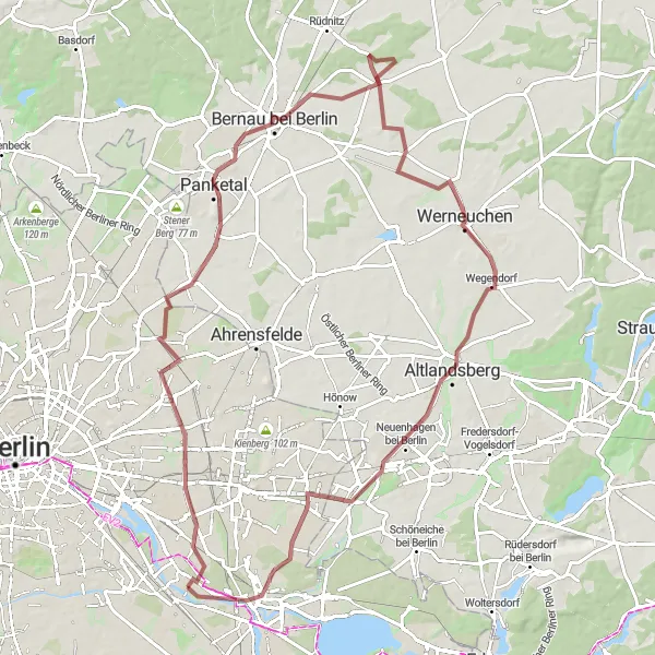
Embark on an exciting gravel adventure through varied landscapes, including forests, castles, and wildlife reserves. With a distance of 84 km and an ascent of 183 m, this route offers a moderate challenge suitable for intermediate cyclists. Rated 3 out of 5 in terms of difficulty and 4 out of 5 for epicness, it provides a memorable experience for nature lovers and castle enthusiasts. Highlights along the route include Friedrichsfelde, a historic area with interesting architecture, the breathtaking Große Schräge hill with sweeping views, and Präriehunde, a nature reserve where you can observe adorable prairie dogs. These highlights are worth stopping by, scoring 4 out of 5 in terms of attractiveness.
gravel
84 km
183 m
Tough
Route profile
Highlights on the route
0 km
0 km
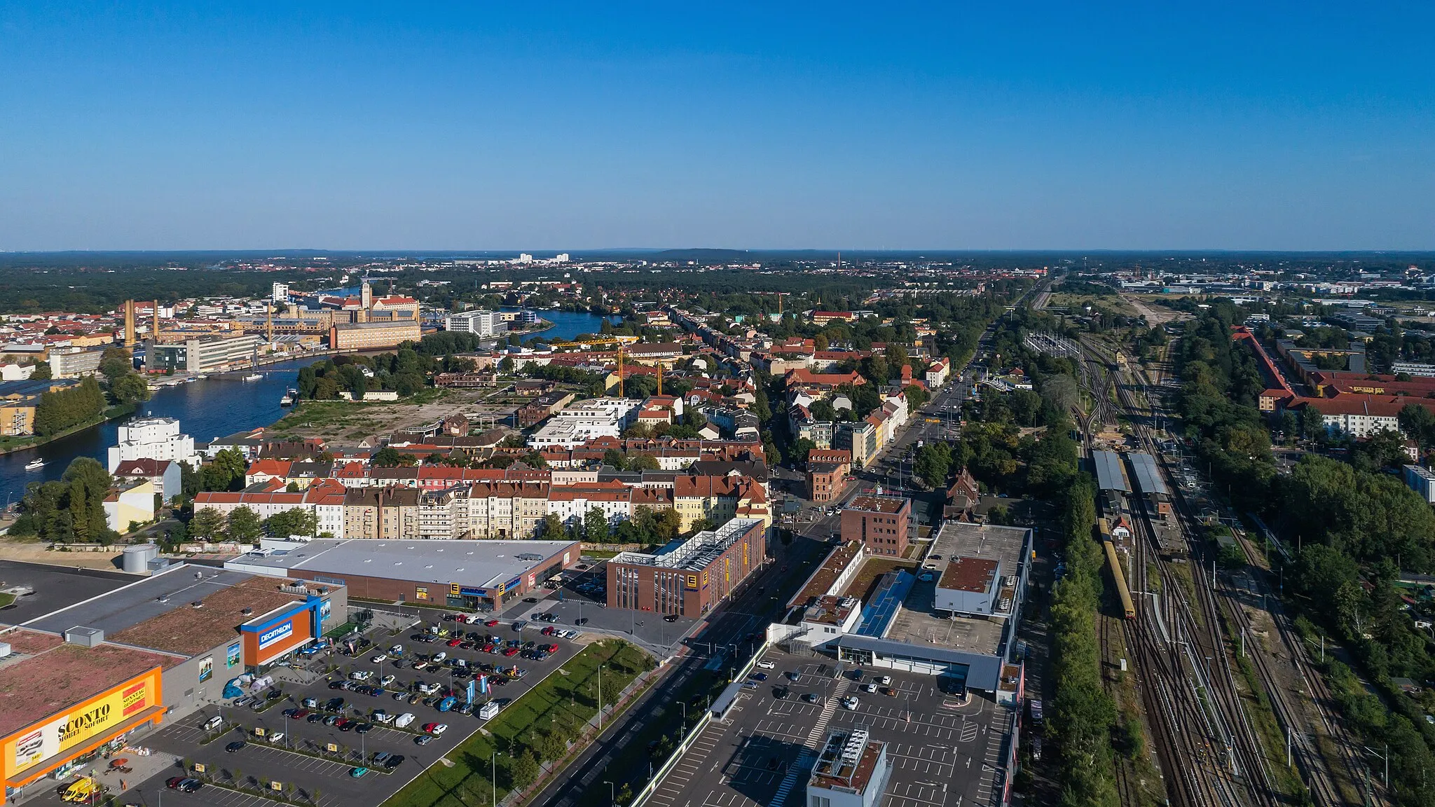
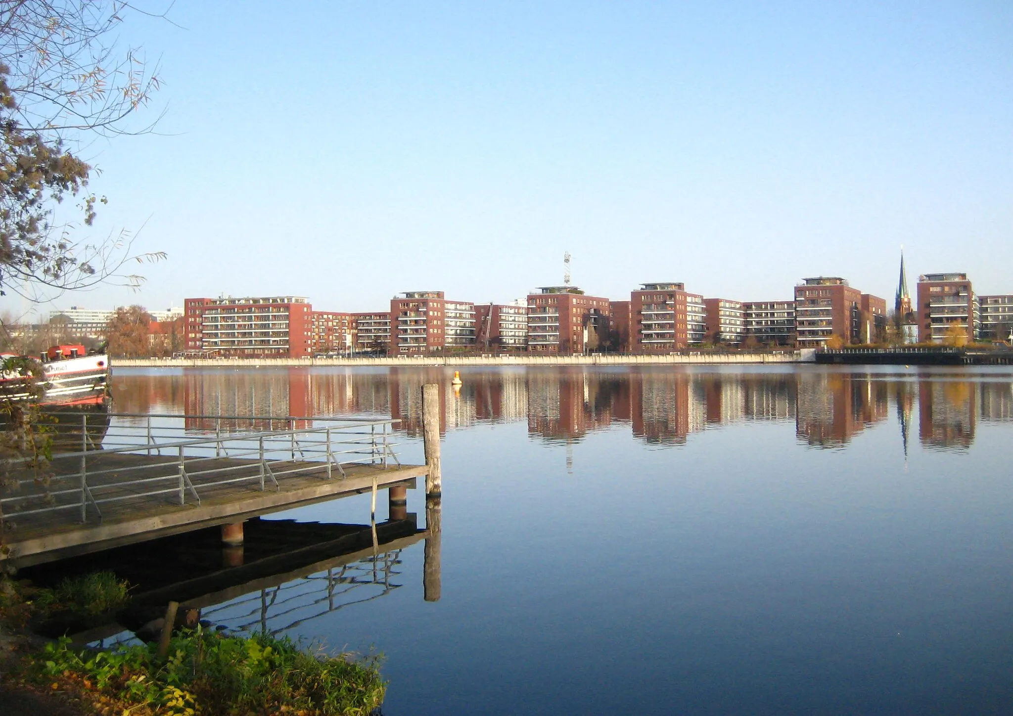
Start: Locality centerOberschöneweide: Dynamic urban cycling in vibrant Berlin district
Oberschöneweide, Germany is a district located in Berlin. Similar to its neighboring district Niederschöneweide, Oberschöneweide may not offer any famous cycling spots or natural landscapes. However, cyclists can still enjoy exploring this vibrant and dynamic city district on two wheels. Oberschöneweide is well-connected with cycling paths and offers a plethora of cultural attractions, including museums, art galleries, and historic sites. In addition, cyclists can also discover the scenic waterfront along the Spree River, providing a pleasant cycling route with picturesque views. While not a traditional cycling destination, Oberschöneweide offers a unique and diverse experience for urban cyclists looking to combine their love for cycling with exploring the rich history and culture of Berlin.5 km
5 km
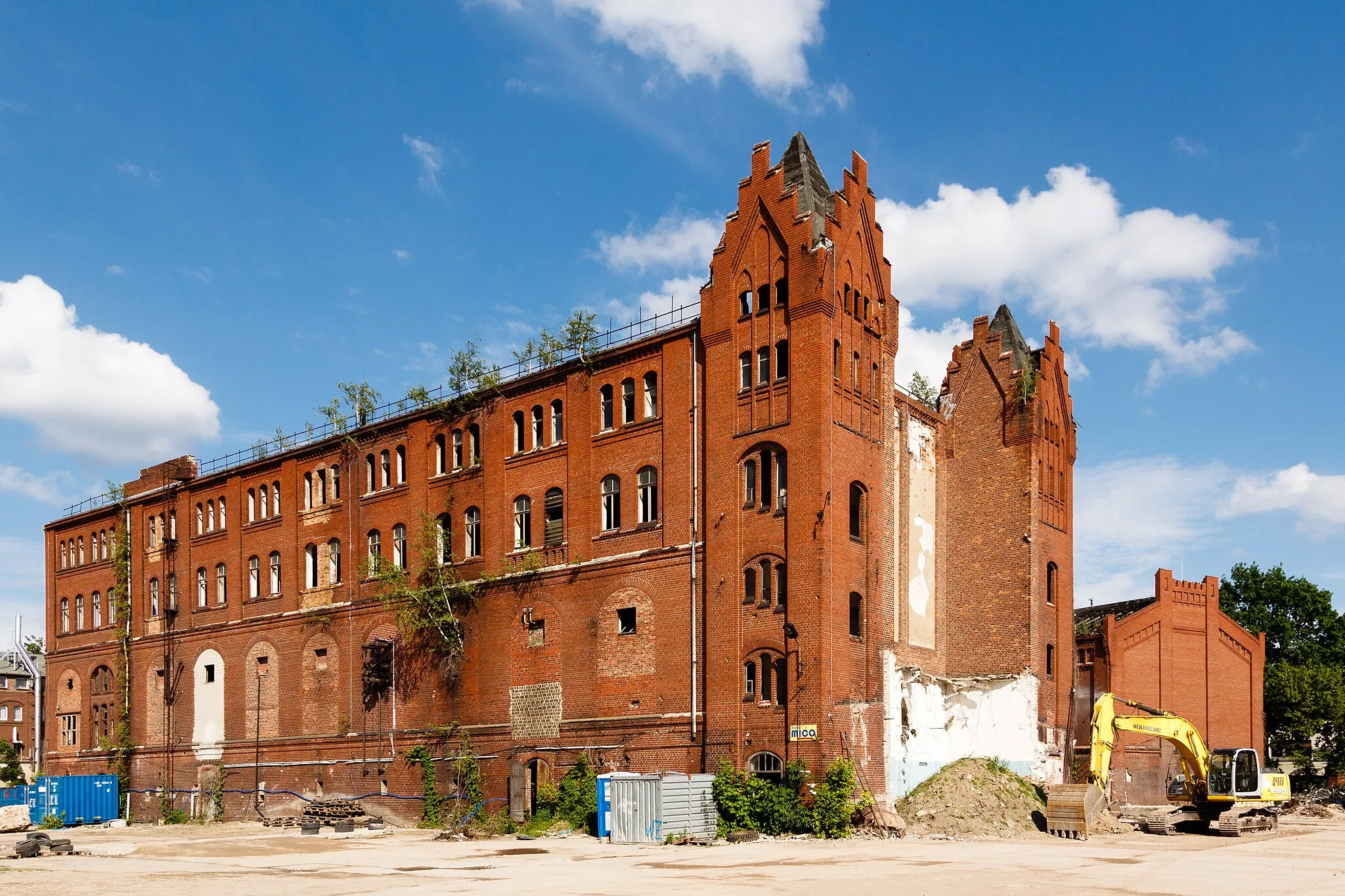
FriedrichsfeldeSub-urbExplore the charming Friedrichsfelde neighborhood, known for its historic buildings and beautiful parks.
17 km
17 km
Große SchrägeViewpointClimb up the Große Schräge hill and enjoy panoramic views of the surrounding forests and countryside.
30 km
30 km
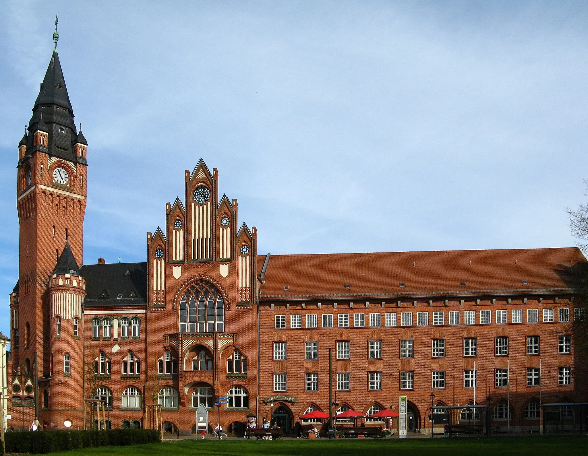
Bernau bei BerlinTownVisit Bernau bei Berlin, a picturesque town surrounded by nature and charming medieval architecture.
30 km
30 km
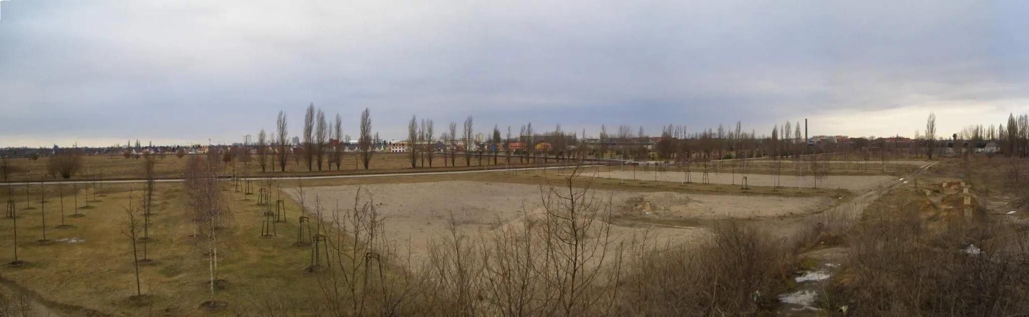
Rollberg81 mPeakCycle through the stunning Rollberg nature reserve, home to diverse flora and fauna, including migrating birds.
52 km
52 km
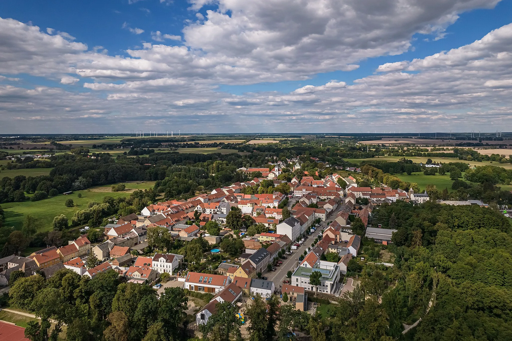
WerneuchenTownDiscover the beauty of Werneuchen, a small town known for its historic buildings and picturesque landscapes.
62 km
62 km
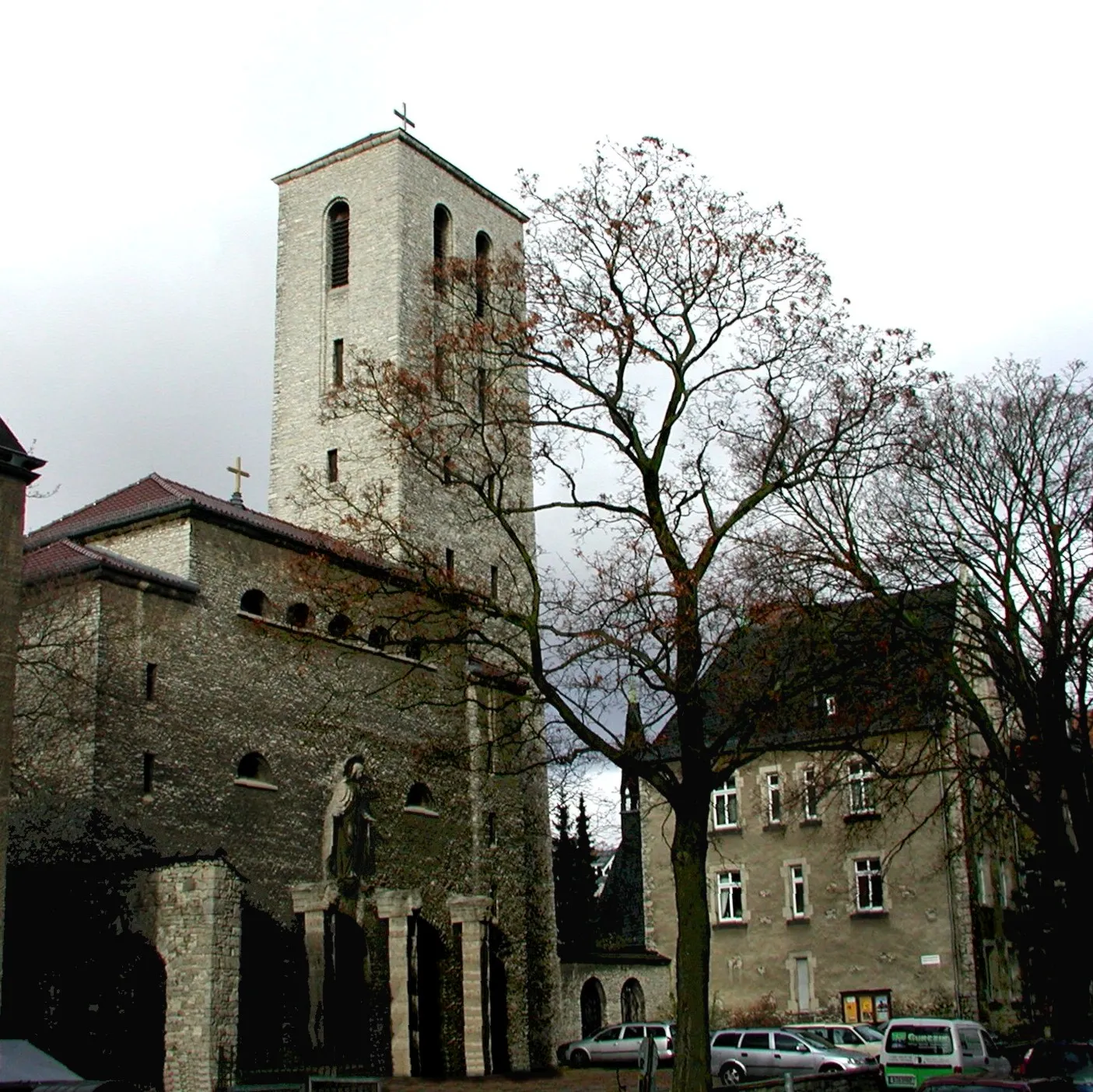
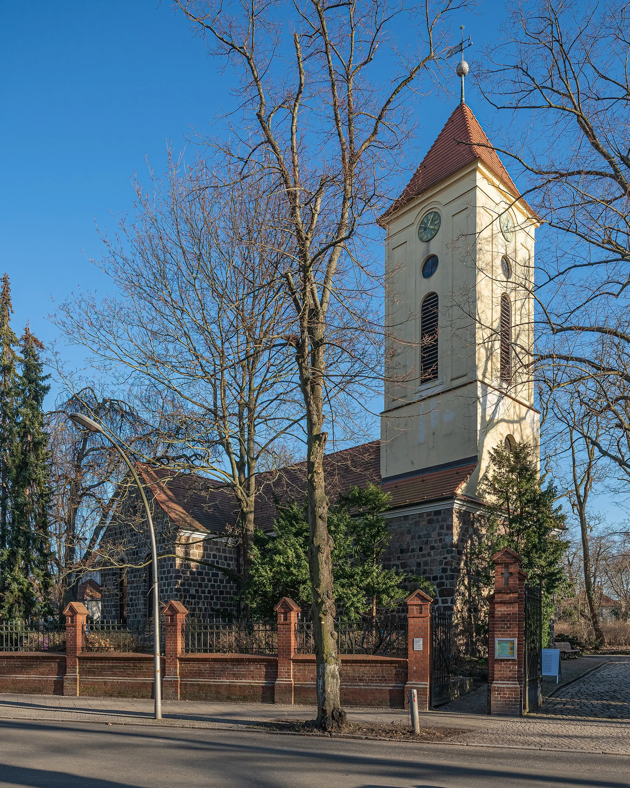
AltlandsbergTownExplore the historic town of Altlandsberg with its well-preserved medieval buildings and charming streets.
74 km
74 km
Berliner BalkonViewpointStop by the stunning Berliner Balkon, a viewpoint offering breathtaking panoramic views of the countryside.
82 km
82 km
PräriehundeAttractionVisit the Präriehunde nature reserve and observe these charming small mammals in their natural habitat.
84 km
84 km
Finish: Locality centerOberschöneweide: Dynamic urban cycling in vibrant Berlin district
Cycling routes from Oberschoeneweide:
The Gardens of the World Gravel Route Road Cycling Escape to Köpenick Waterside Beauty Gravel Route Historical Discovery Road Route Gravel Adventure to Dahlewitz Castles and Präriehunde Gravel Route Challenging Road Cycling Loop to Brommybalkon Exploring Cultural Heritage in Köpenick Berlin's Architectural Splendor Road Route Gravel Escapade to Britzer Mühle Oberschöneweide to Biesdorfer Höhe and Beyond Oberschöneweide to Schloss Köpenick and Beyond
Cycling routes nearby: