Lichtenberg Countryside Gravel Tour
A gravel cycling route starting from Lichtenberg
Experience the idyllic countryside near Lichtenberg on this gravel tour.
Map
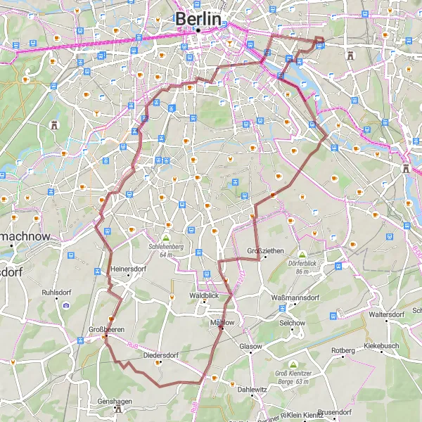
If you're looking for an adventurous gravel tour through the idyllic countryside near Lichtenberg, this 68-kilometer route is perfect for you. With an elevation gain of 211 meters, it offers a moderate challenge suitable for gravel bikes. Highlights along the route include Inselspitze - Kap Stralau, Insel der Jugend, Mahlow, Technikdenkmal Rieselfeld, Gedenkturm 1813, Preußischer Meilenstein, Uferplattform, and Oberbaumbrücke. The route provides a great mix of natural beauty and historical landmarks.
gravel
68 km
211 m
Tough
Route profile
Highlights on the route
0 km
0 km
Start: Locality centerLichtenberg: Cycle through Berlin's Lichtenberg District
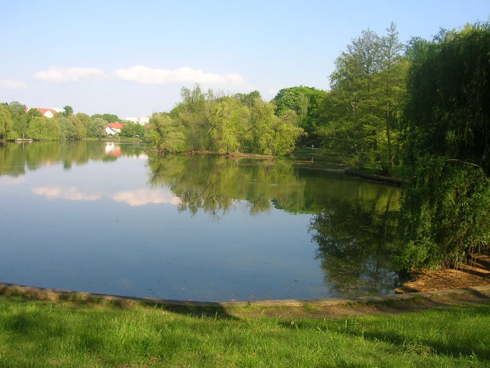
Lichtenberg, located in the city of Berlin, Germany, offers a cyclist-friendly locality with access to various cycling routes. The area features a mixture of urban and suburban landscapes, with quiet roads and bike paths available for cyclists to explore. Lichtenberg is well-connected to other parts of Berlin, allowing riders to easily access popular cycling spots and attractions. Müggelsee, a large lake located nearby, offers beautiful scenery and additional recreational activities. With its convenient location and cycling infrastructure, Lichtenberg is a suitable base for cyclists wishing to explore Berlin and its surroundings.5 km
5 km
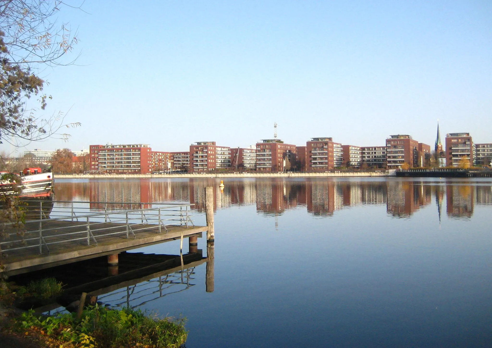
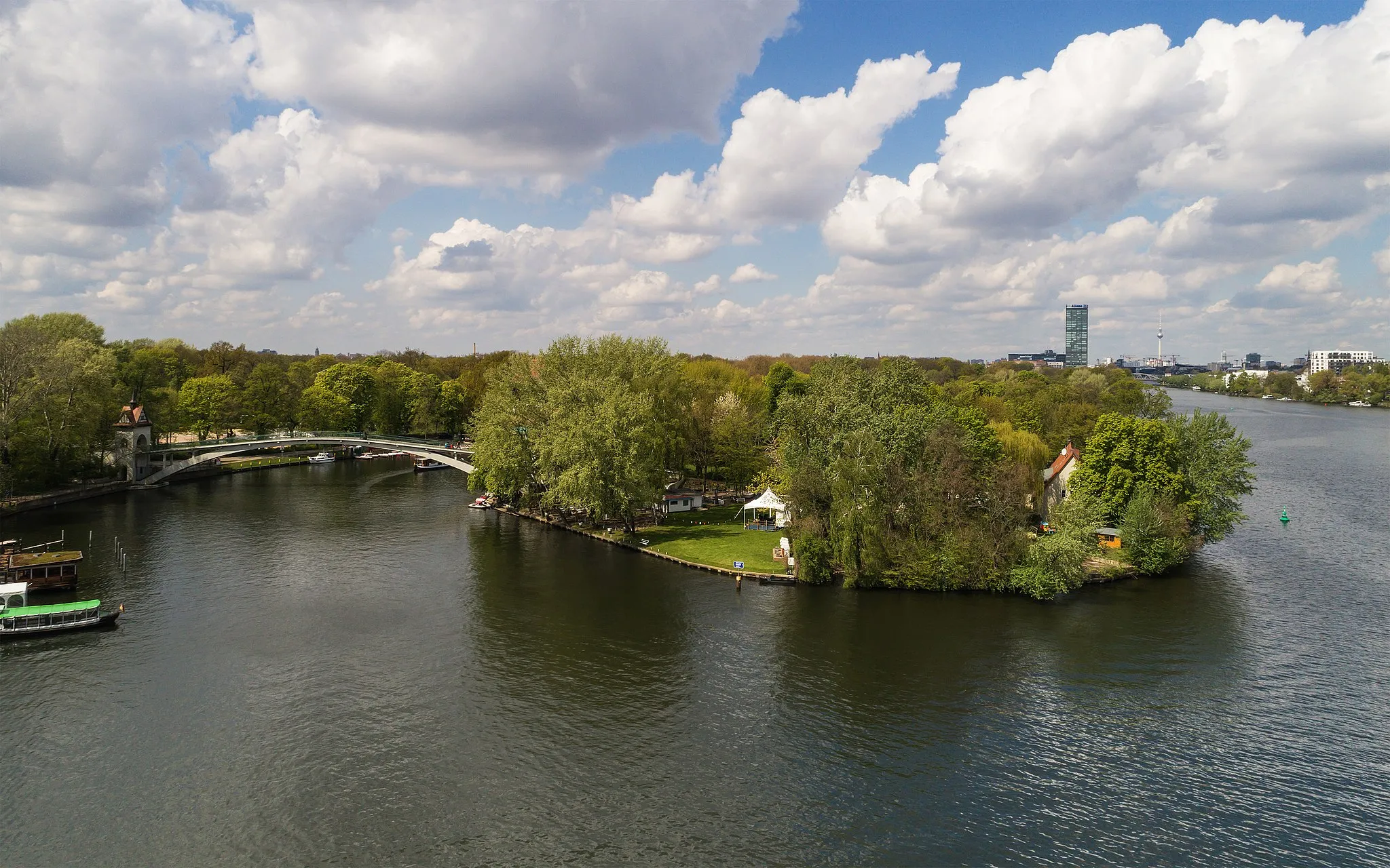
Inselspitze - Kap StralauViewpointEnjoy the picturesque views from the Inselspitze - Kap Stralau.
5 km
5 km
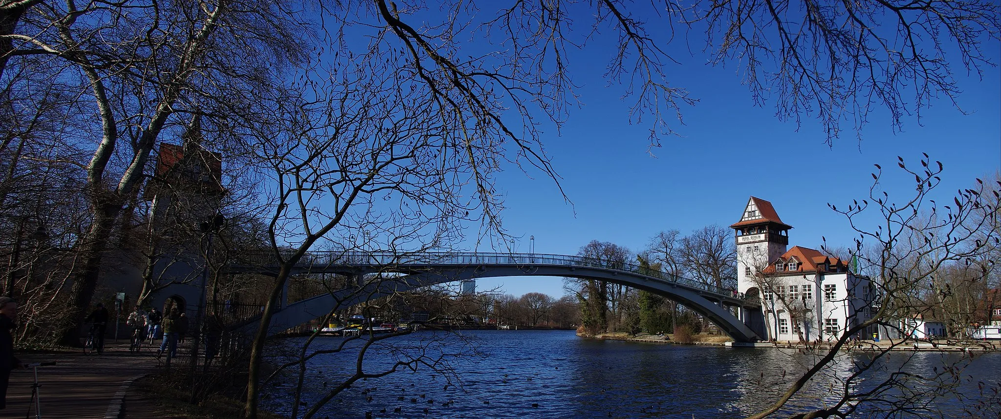
Insel der JugendAttractionVisit the scenic Insel der Jugend.
25 km
25 km
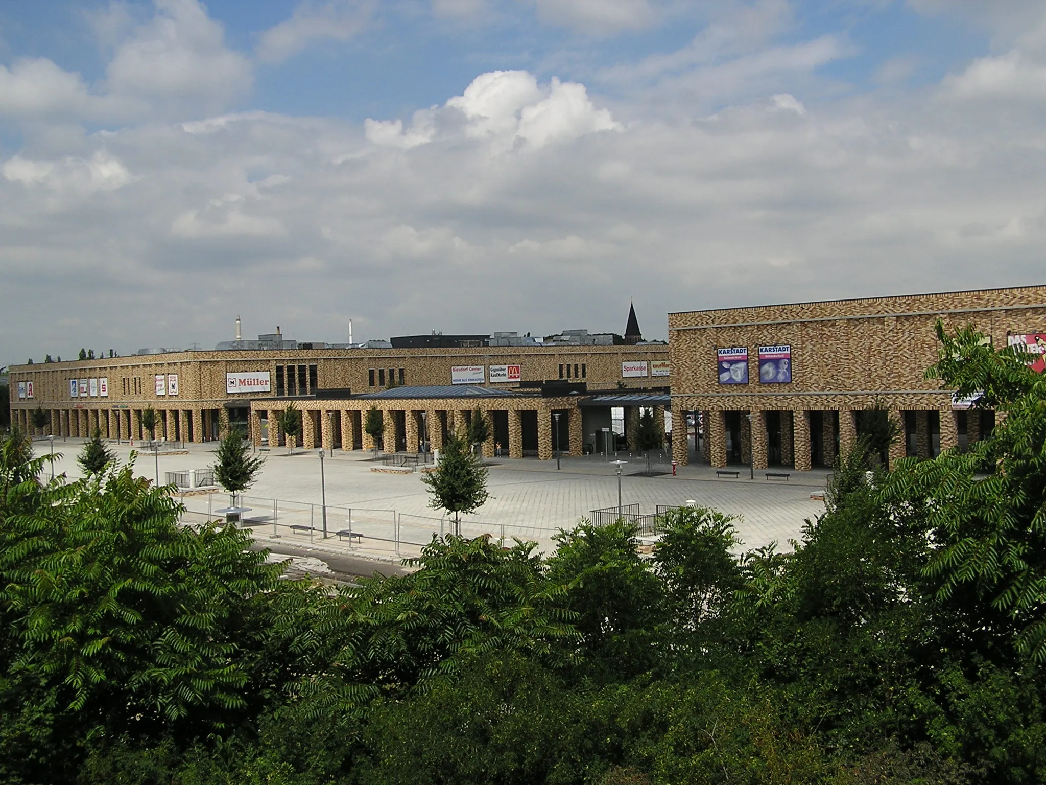
MahlowVillagePass through the charming town of Mahlow.
37 km
37 km
Technikdenkmal RieselfeldViewpointExplore the historic Technikdenkmal Rieselfeld.
37 km
37 km
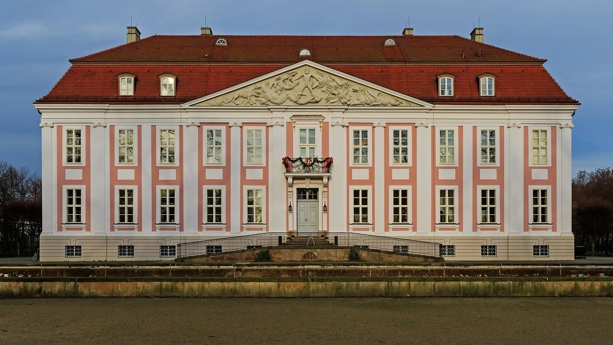
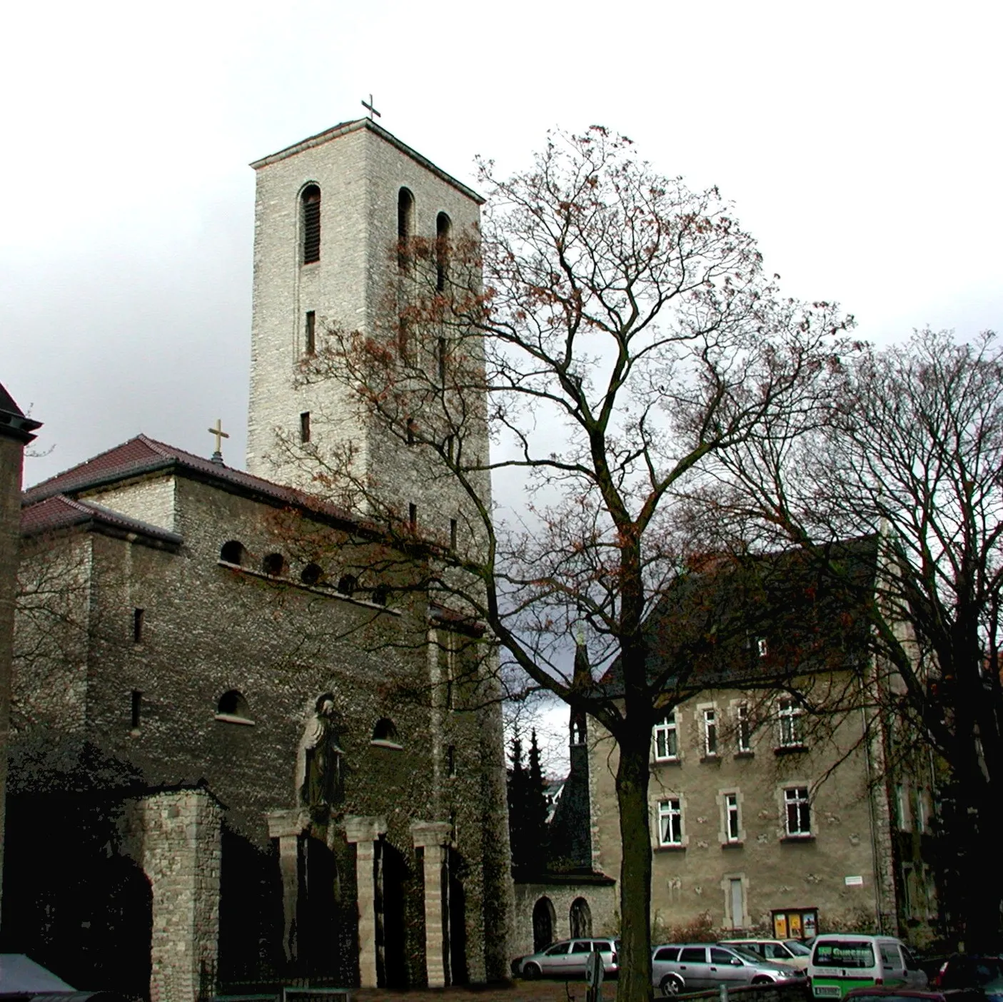
Gedenkturm 1813AttractionPay respects at the Gedenkturm 1813.
54 km
54 km
Preußischer MeilensteinAttractionDiscover a Preußischer Meilenstein, a milestone from the 19th century.
61 km
61 km
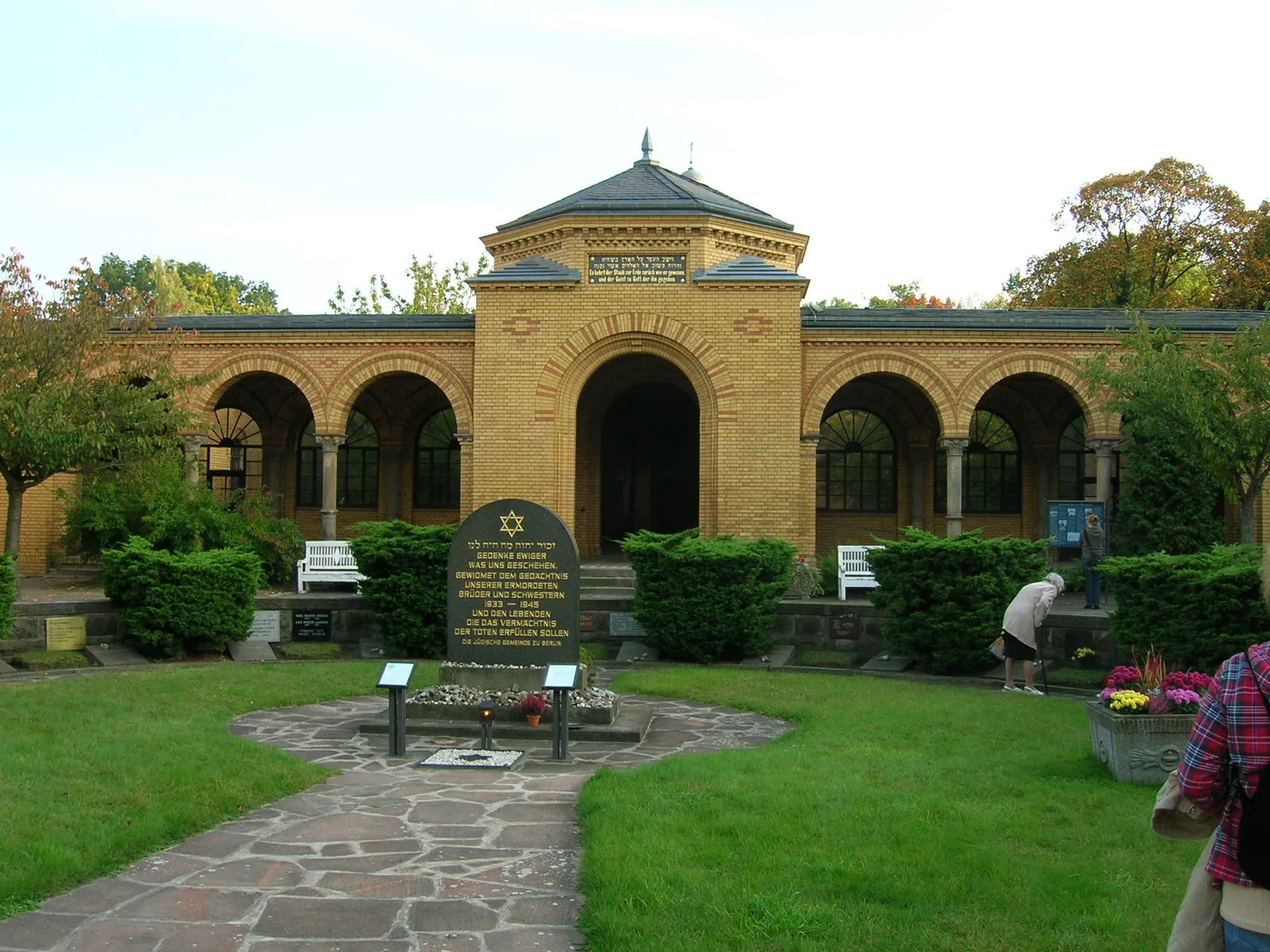
UferplattformViewpointVisit the Uferplattform, a popular spot for relaxation.
63 km
63 km
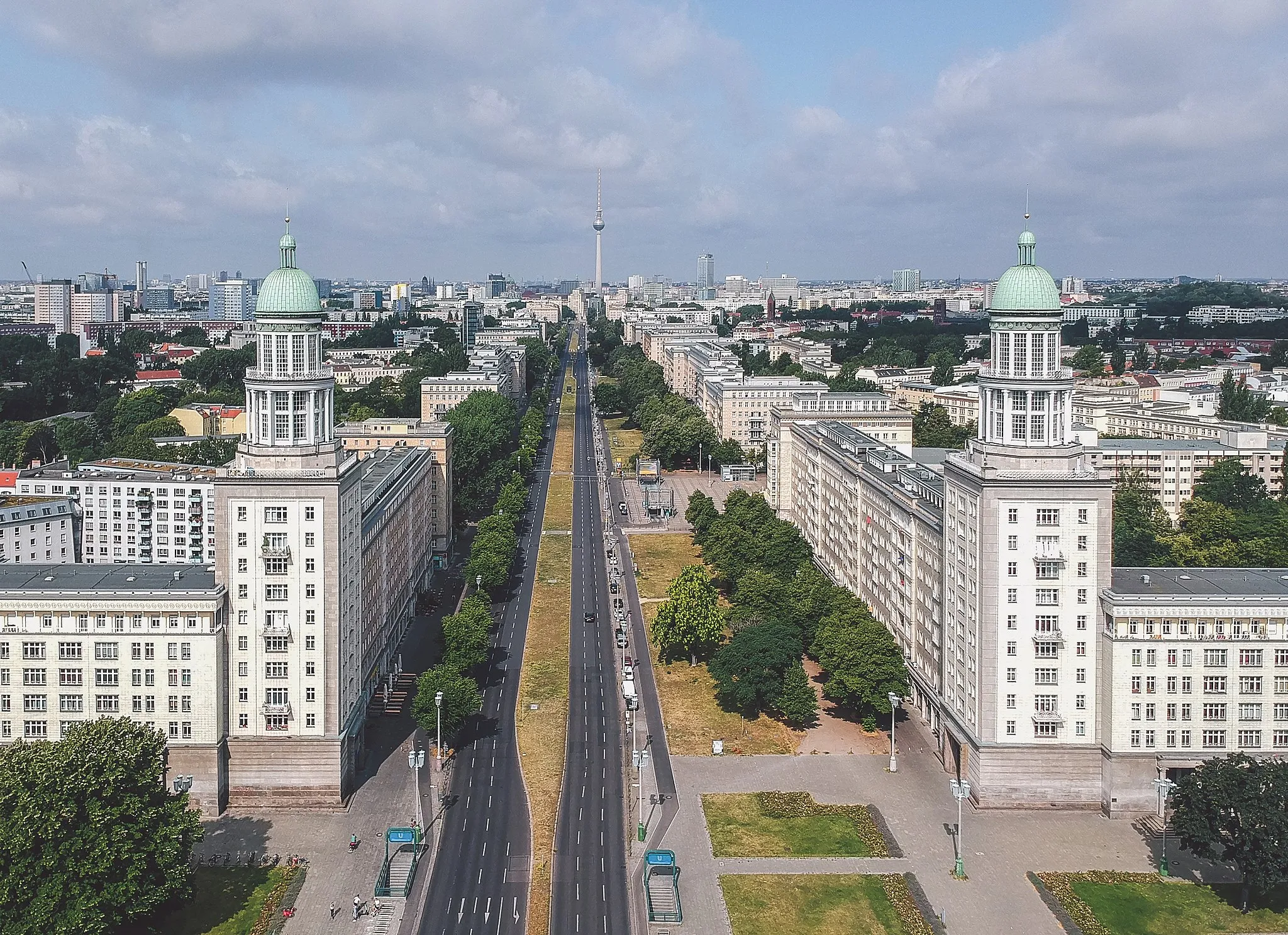
OberbaumbrückeAttractionCross the iconic Oberbaumbrücke, an architectural marvel.
68 km
68 km
Finish: Locality centerLichtenberg: Cycle through Berlin's Lichtenberg District
Cycling routes from Lichtenberg:
Lichtenberg Gravel Loop Road route from Lichtenberg Lichtenberg Road Adventure Gravel route from Lichtenberg Road route from Lichtenberg Lichtenberg Countryside Gravel Tour Road route from Lichtenberg Off the Beaten Path - Lichtenberg Gravel Adventure Lichtenberg-Road Adventure Extraordinaire Gravel route from Lichtenberg
Cycling routes nearby: