Lake Tegel and Spandau Loop
A road cycling route starting from Falkenhagener Feld
A scenic and historical route incorporating Lake Tegel and the charming district of Spandau
Map
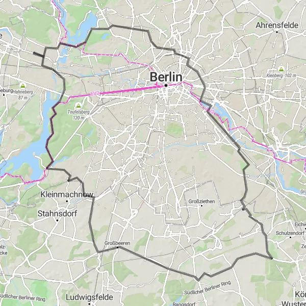
Explore the stunning Lake Tegel and the historic Spandau district on this 108 km road cycling route. With a moderate ascent of 304 meters, this loop is suitable for intermediate cyclists. Enjoy the picturesque waterfront of Lake Tegel and discover the medieval charm of Spandau.
road
108 km
304 m
Tough
Route profile
Highlights on the route
0 km
0 km
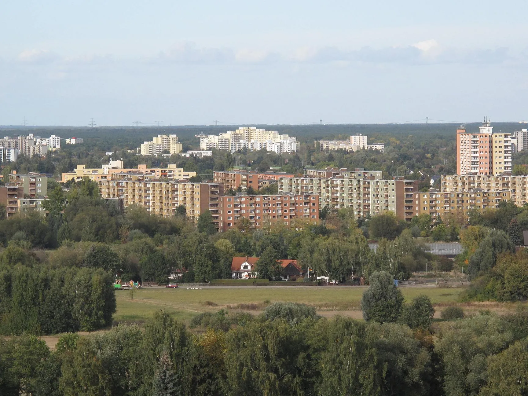
Start: Locality centerFalkenhagener Feld: Urban cycling destination with diverse routes in Berlin, Germany.
Falkenhagener Feld is a locality located in the Berlin region of Germany. It provides cyclists with a range of cycling opportunities within a bustling urban setting. Road cyclists can explore the well-paved roads and cycle paths, passing through vibrant neighborhoods and iconic landmarks. Gravel cyclists may also find some gravel trails and paths in nearby parks for off-road adventures. Cycling enthusiasts can visit the Berlin Velodrome, a famous cycling-related spot known for hosting various cycling events. Falkenhagener Feld offers a unique combination of cycling routes and urban attractions, making it a suitable destination for road and gravel cyclists to enjoy the city's vibrant atmosphere.9 km
9 km
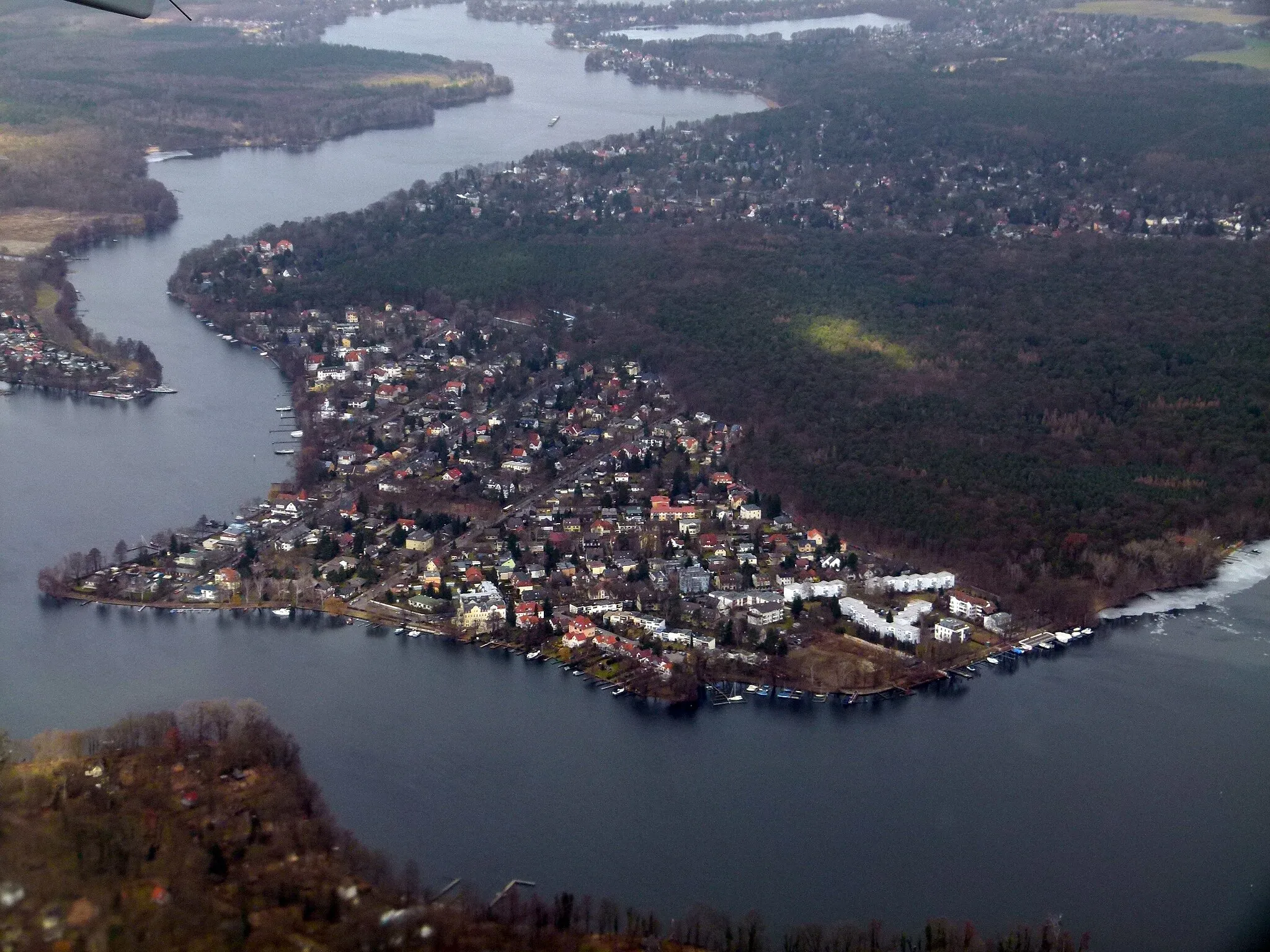
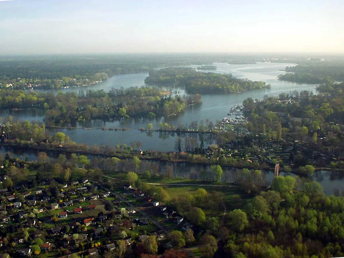
Lake TegelLakeAt 9 km mark, reach Lake Tegel and marvel at its pristine waters, surrounded by lush greenery.
15 km
15 km
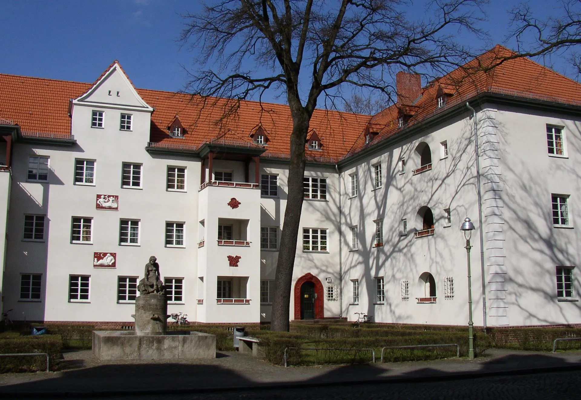
ReinickendorfSub-urbPass through Reinickendorf at the 15 km mark, a vibrant and diverse district with unique architecture.
24 km
24 km
Großer Bunkerberg78 mPeakExperience the commanding heights of Großer Bunkerberg at the 24 km mark, which offers panoramic views of the surrounding area.
36 km
36 km
JohannisthalSub-urbDiscover Johannisthal at the 36 km mark, an area brimming with culture and history.
50 km
50 km
WaltersdorfVillageReach Waltersdorf at the 50 km mark, known for its idyllic countryside and charming small-town atmosphere.
72 km
72 km
GroßbeerenVillageWitness the historical Battle of Grossbeeren site at the 72 km mark, an important location during the Napoleonic Wars.
73 km
73 km
Technikdenkmal RieselfeldViewpointVisit the Technikdenkmal Rieselfeld at the 73 km mark, an open-air museum showcasing the history of wastewater treatment.
81 km
81 km
TeltowTownArrive at Teltow at the 81 km mark, a vibrant town with beautiful landscapes and historical sites.
97 km
97 km
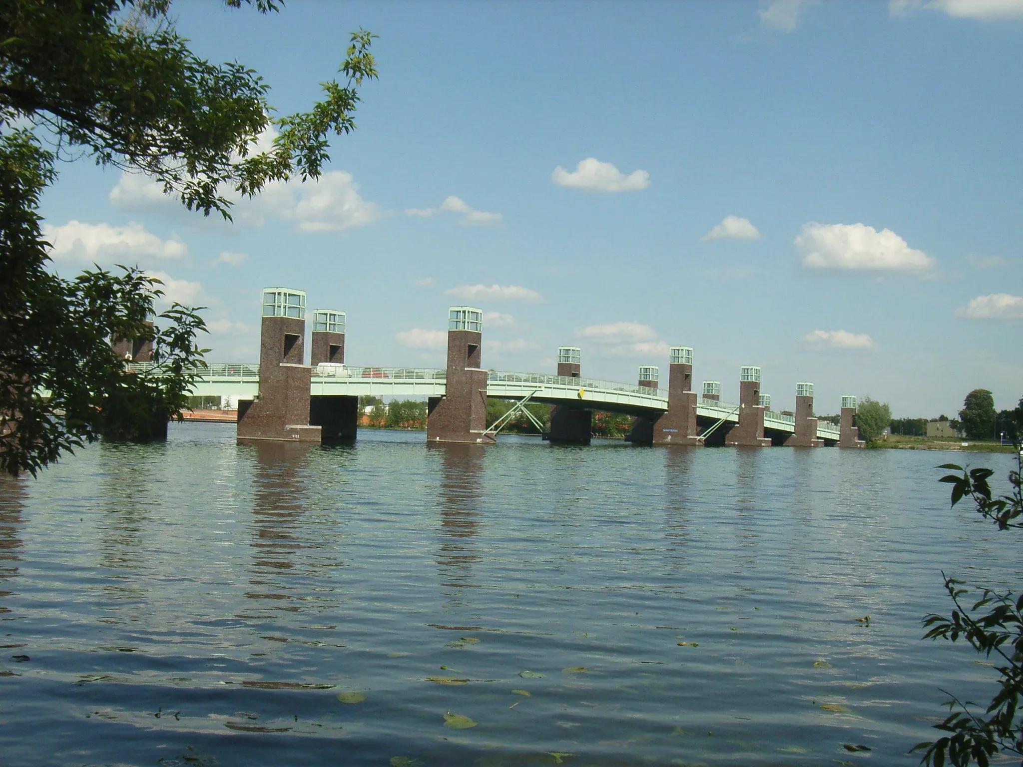
HavelLakePass by the Havel River at the 97 km mark, a serene waterway that flows through Berlin.
104 km
104 km
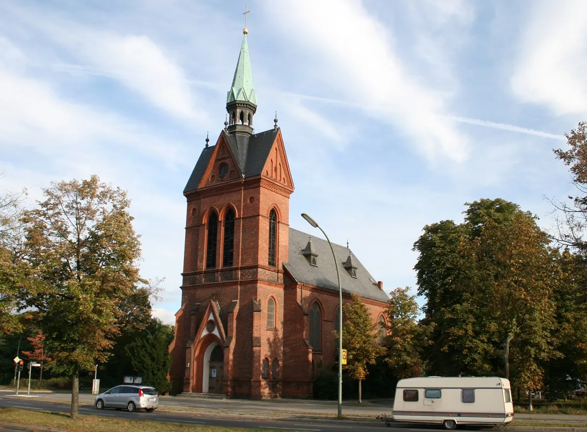
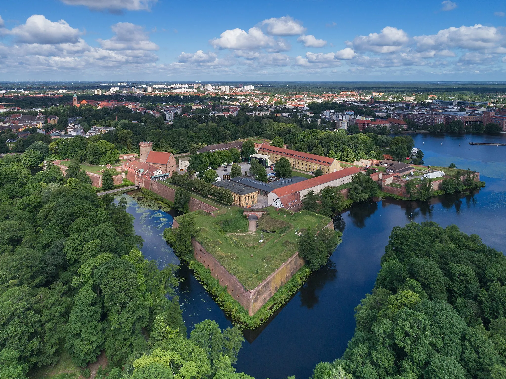
SpandauSub-urbExperience the historic district of Spandau at the 104 km mark, known for its medieval fortress and charming streets.
108 km
108 km
Finish: Locality centerFalkenhagener Feld: Urban cycling destination with diverse routes in Berlin, Germany.
Cycling routes from Falkenhagener Feld:
Gravel Adventure Road Cycling Tour Discover the Gravel Paths Lake Tegel and Spandau Loop Krampnitzberg and Potsdam Loop Around Tegel Lake Havelberg and Grunewald Gravel Ride Murellenberg and Grunewald Adventure Spandau and Potsdam Tour Scenic Gravel Ride Wilhelmstadt to Falkenhagener Feld Gravel Ride Hennigsdorf to Spandau Gravel Adventure
Cycling routes nearby: