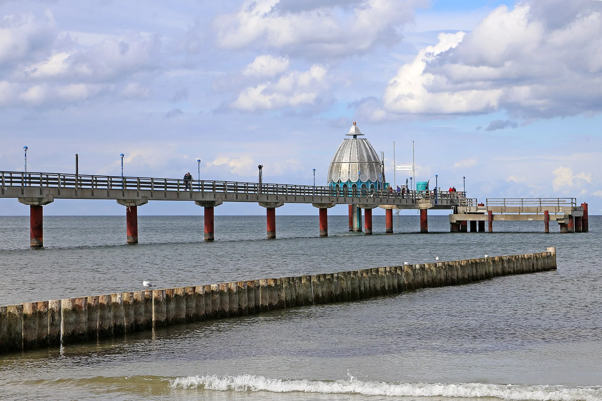
Cyclist-friendly locality with diverse riding options and easy access to city and nature routes.
Cycling routes from Spandau
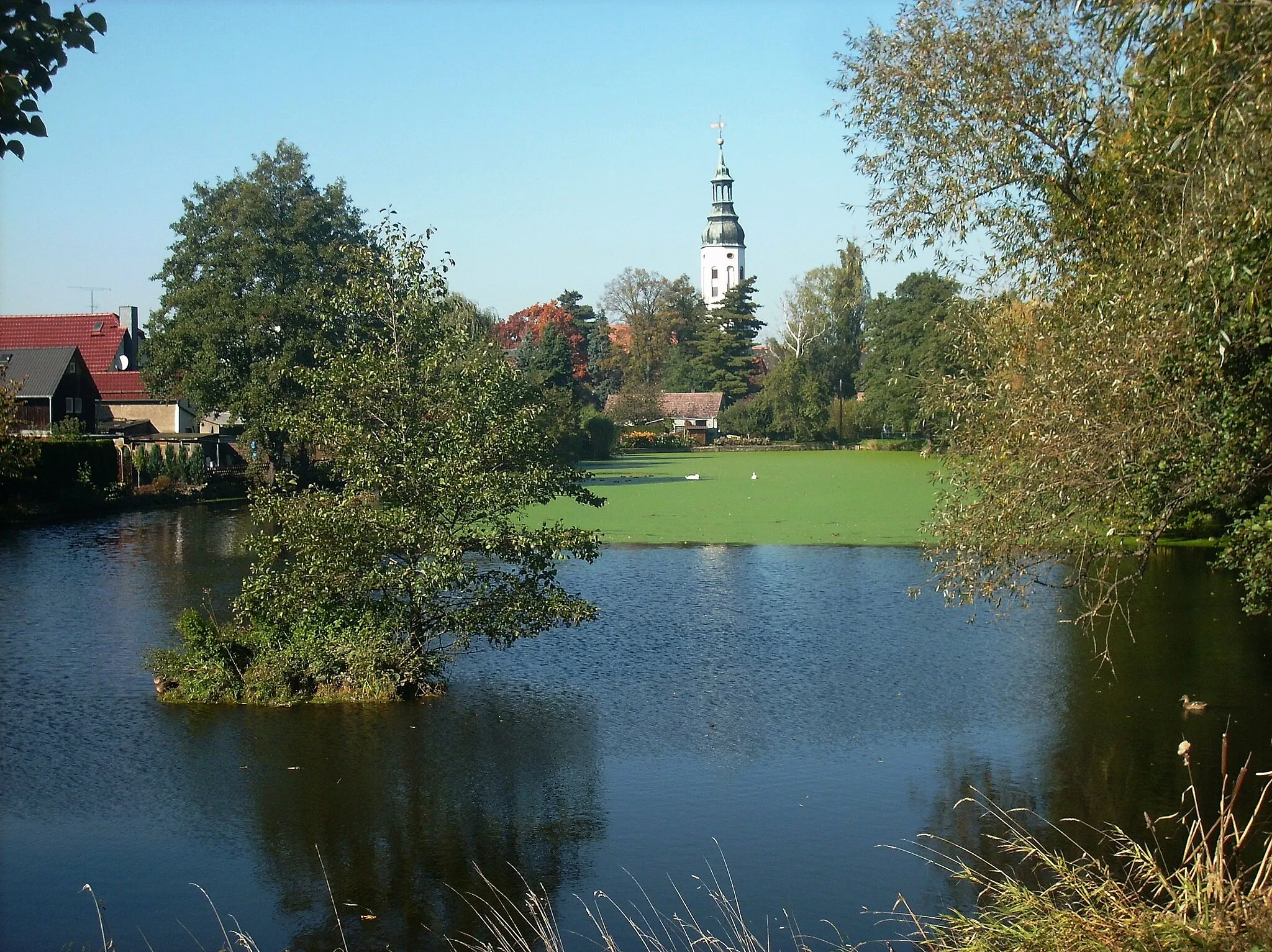
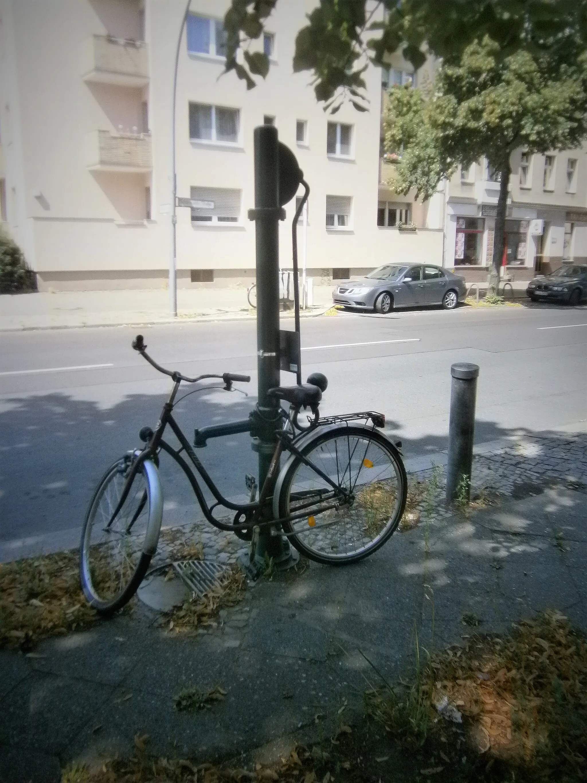
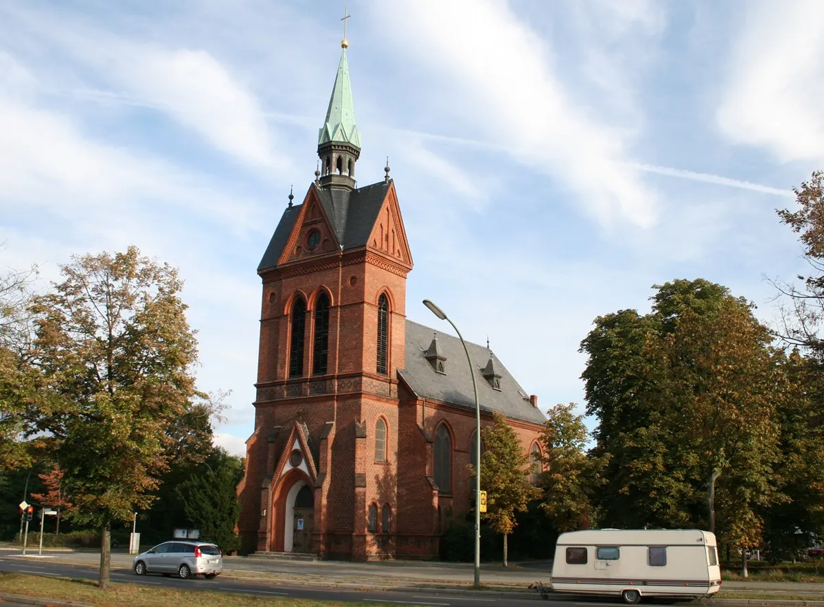
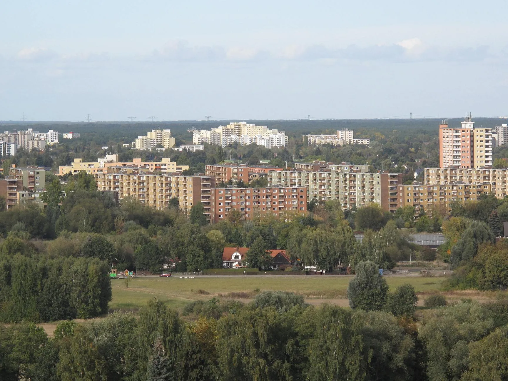
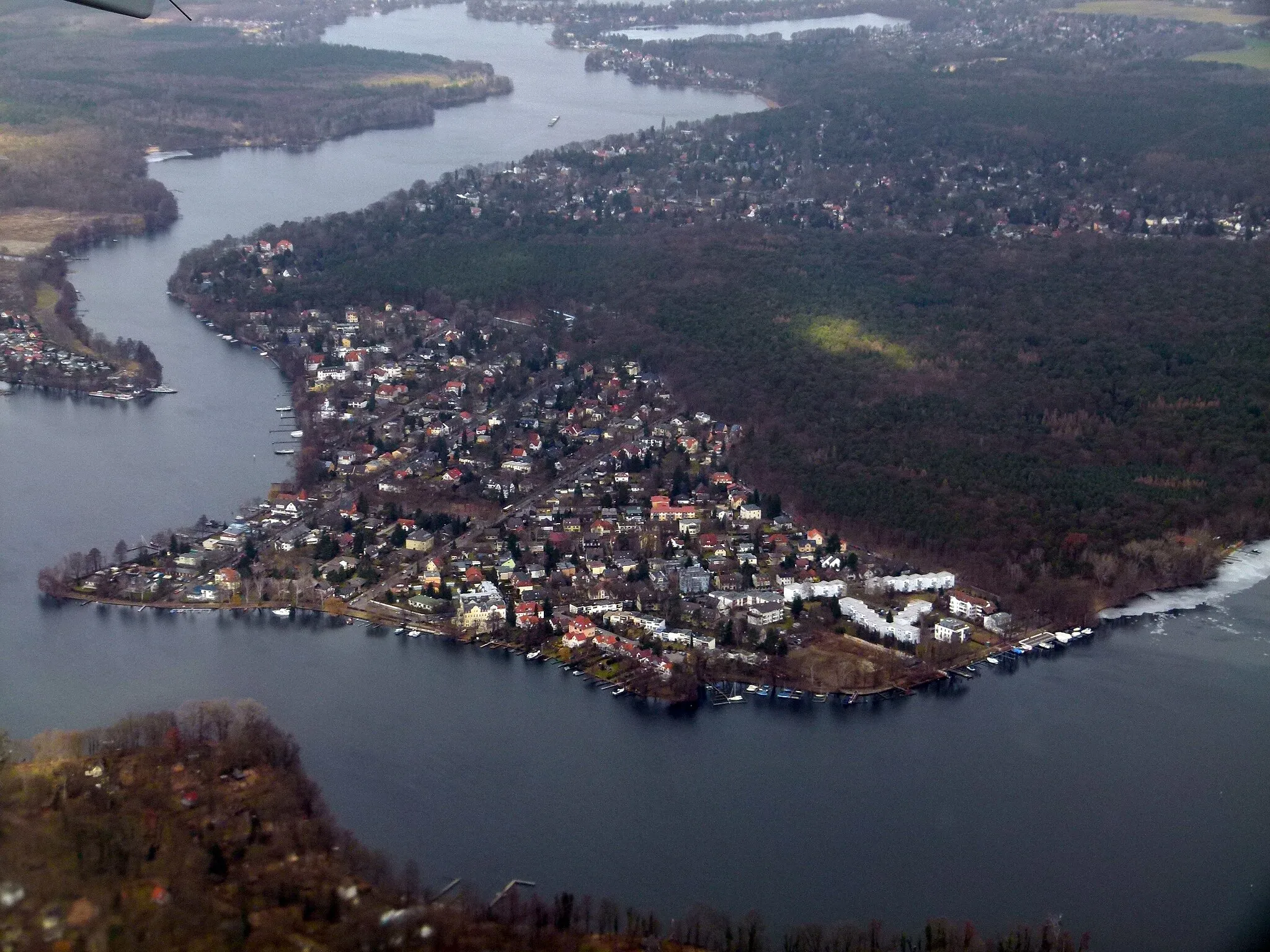
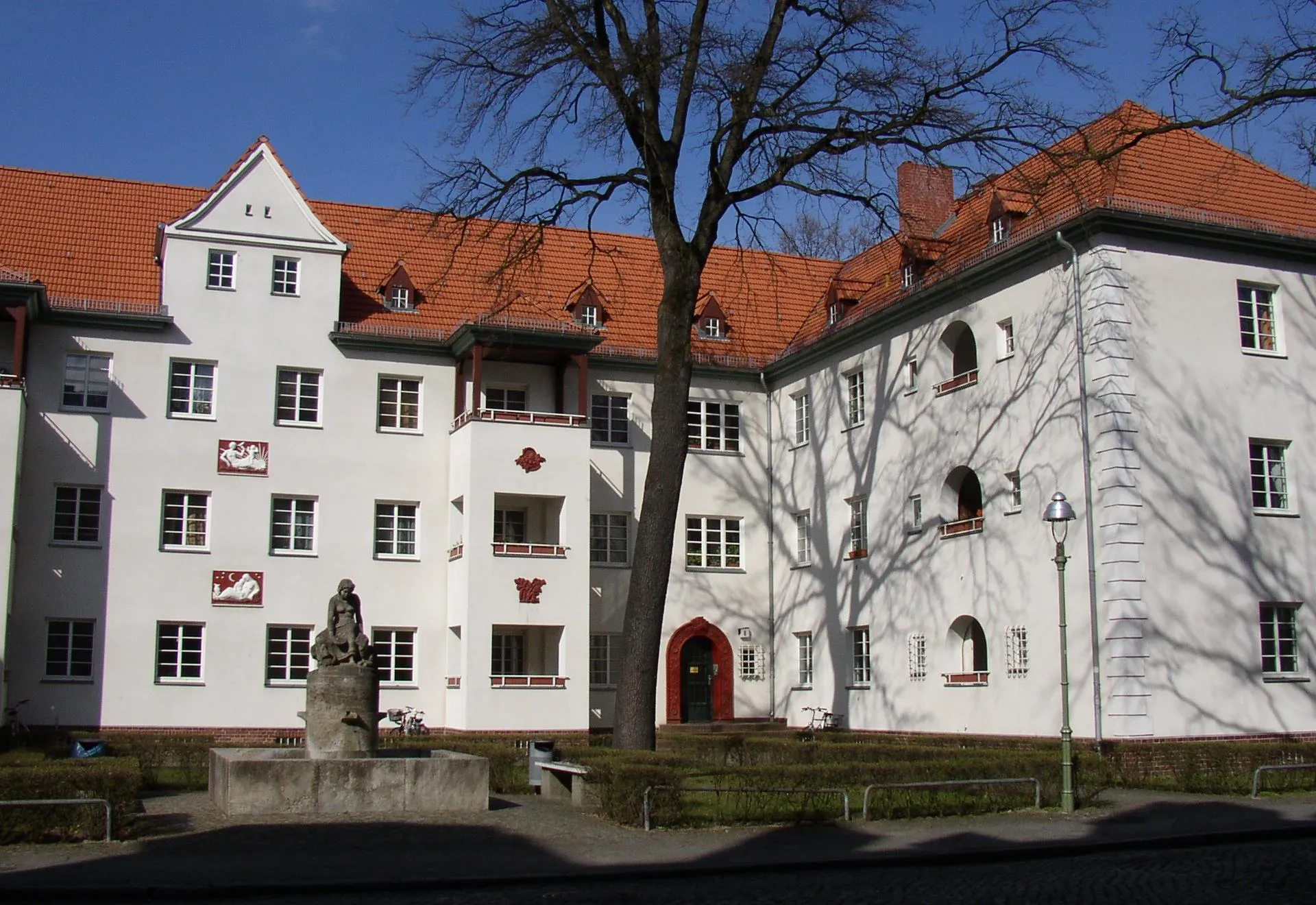
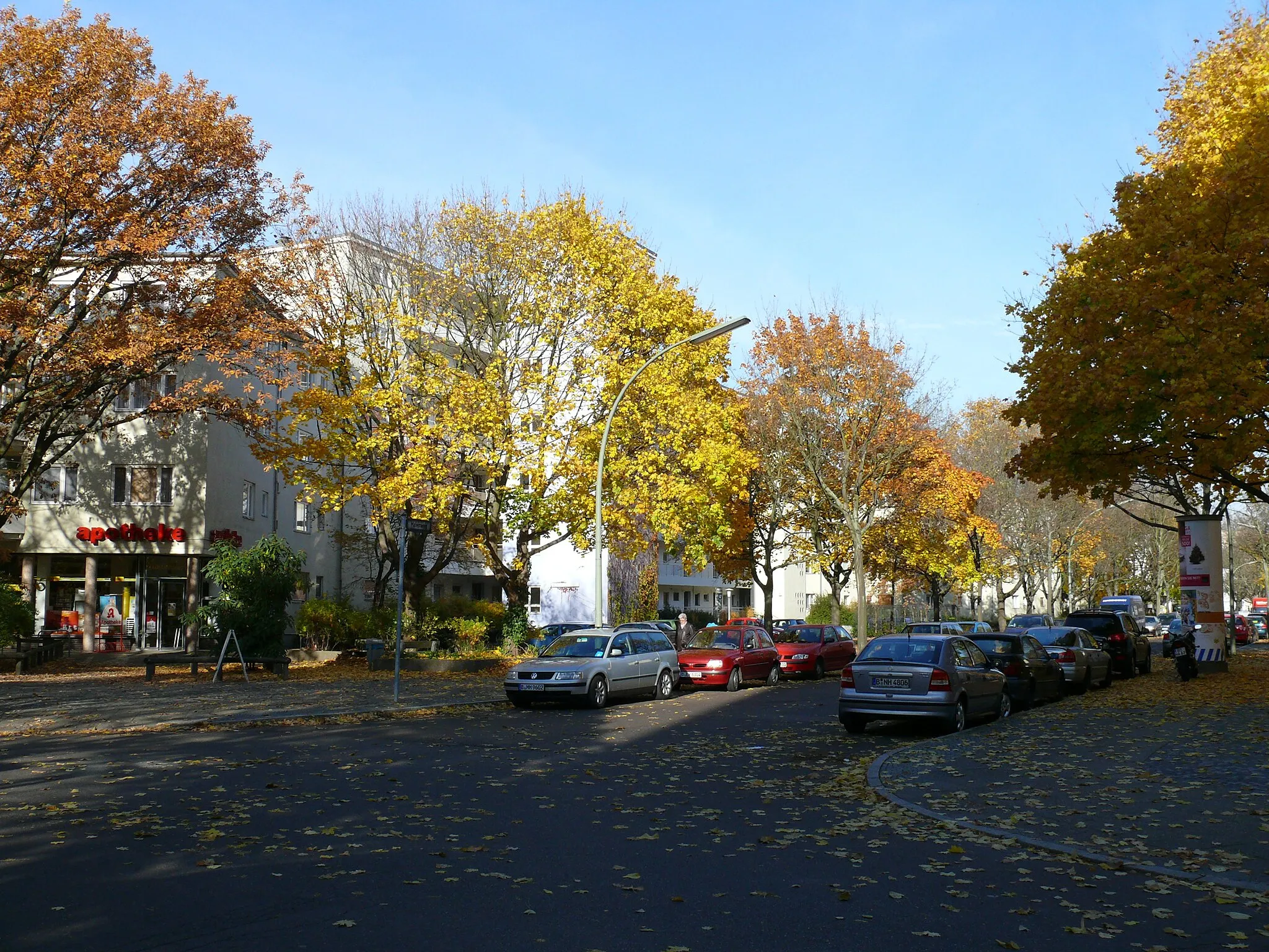
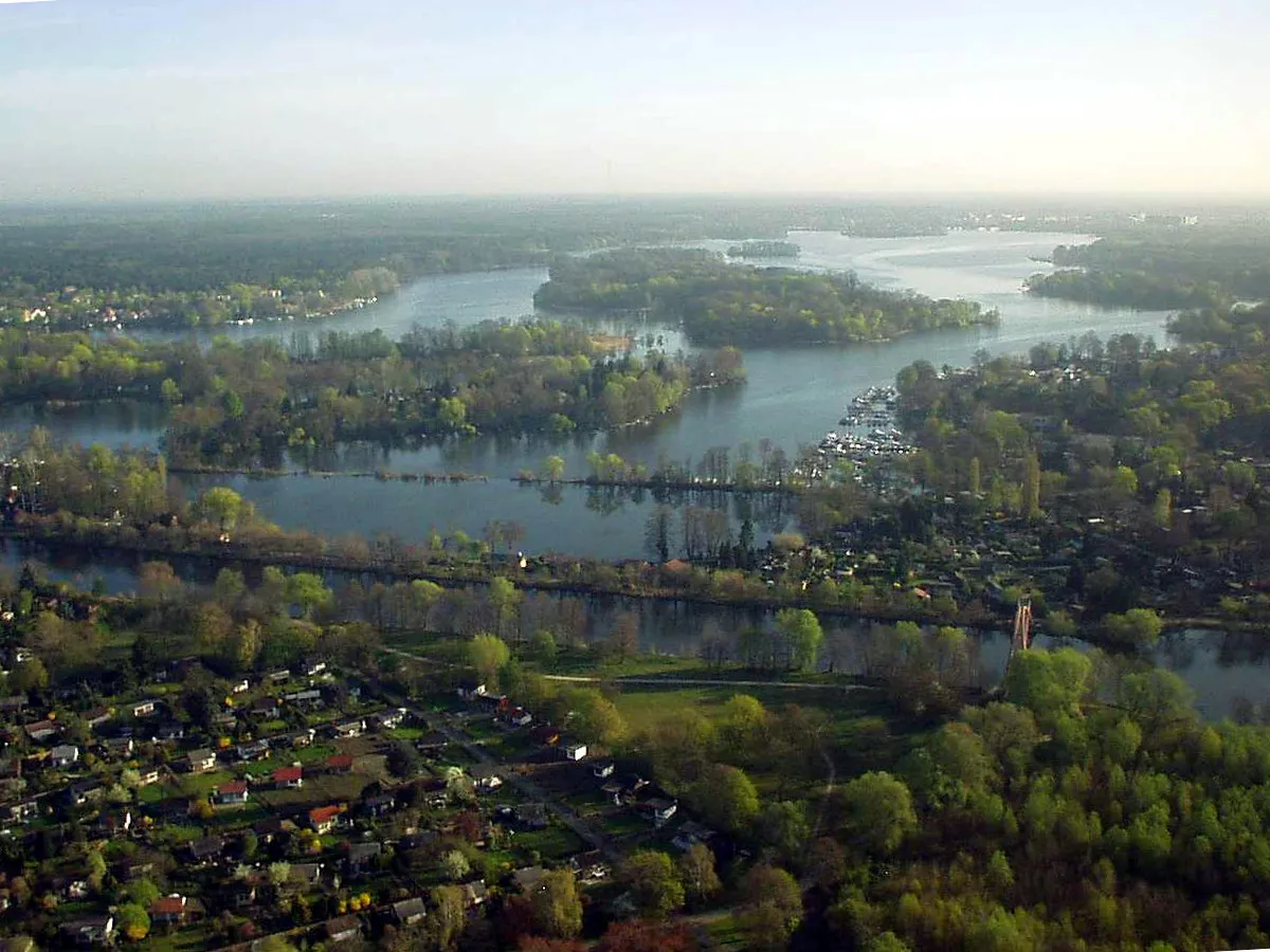
Spandau is a locality located in the Berlin region of Germany. From a cyclist's perspective, Spandau provides excellent cycling infrastructure with numerous well-maintained roads and designated cycling paths. The area offers a mix of urban biking and countryside routes. Cyclists can explore historical landmarks and urban landscapes, as well as venture into nearby nature reserves for a more nature-focused ride. One famous cycling spot nearby is Lake Wannsee, a popular destination for cyclists due to its beautiful surroundings. Overall, Spandau is a cyclist-friendly locality with diverse riding options and easy access to both city and nature routes.
Spandau Möritz-Route
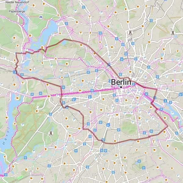
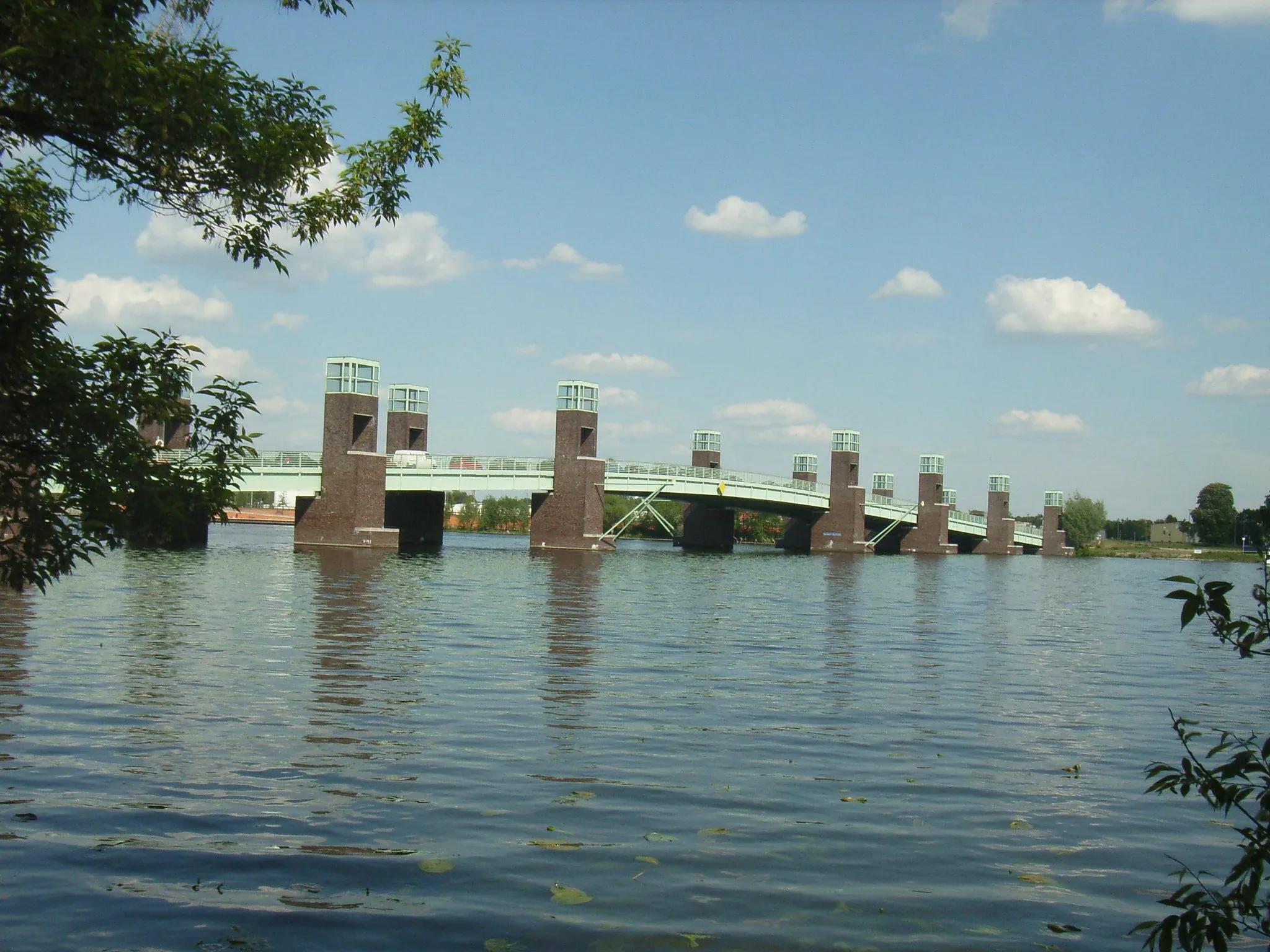
Explore the Möritz-Gedenkplatz and the Oberbaumbrücke along this gravel route.
The Spandau Möritz-Route is a 56km gravel cycling route starting near Spandau in Berlin. With an ascent of 232m, this route offers a moderate challenge for well-trained amateurs. The route has a distinctive character with highlights such as the Möritz-Gedenkplatz and the Oberbaumbrücke. Cyclists will also pass through Wedding, Großer Bunkerberg, Insulaner, Planetarium am Insulaner, Funkturm, and Spandau.
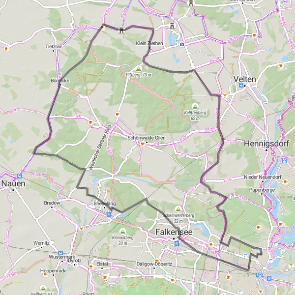
Discover the scenic beauty near Spandau on this road cycling route
Enjoy the scenic beauty of the area on this 53km road cycling route with an ascent of 114m. As you explore this picturesque route, you'll pass by highlights such as Scheinwerferberg, Schönwalde-Dorf, Mathiasberg, Bärenklau, and Möritz-Gedenkplatz. Immerse yourself in the natural surroundings and witness the beauty of the landscapes as you ride through the region.
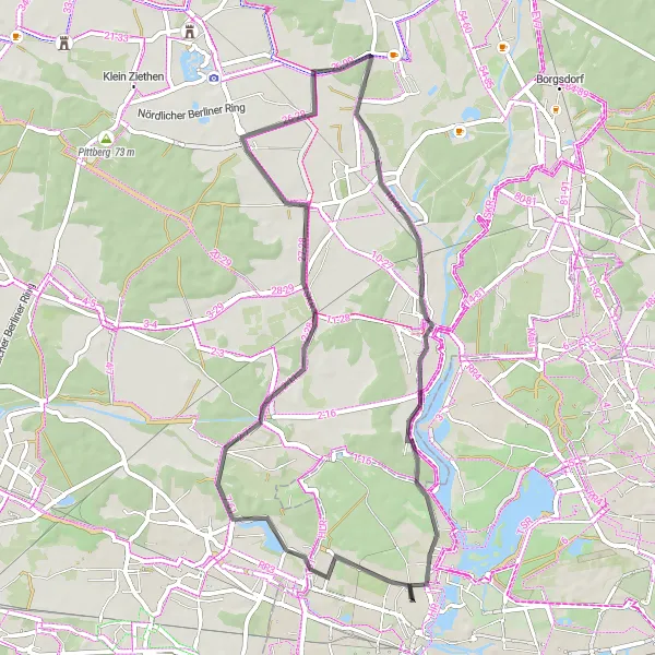
Embark on a challenging road cycling journey through Grunewald forest.
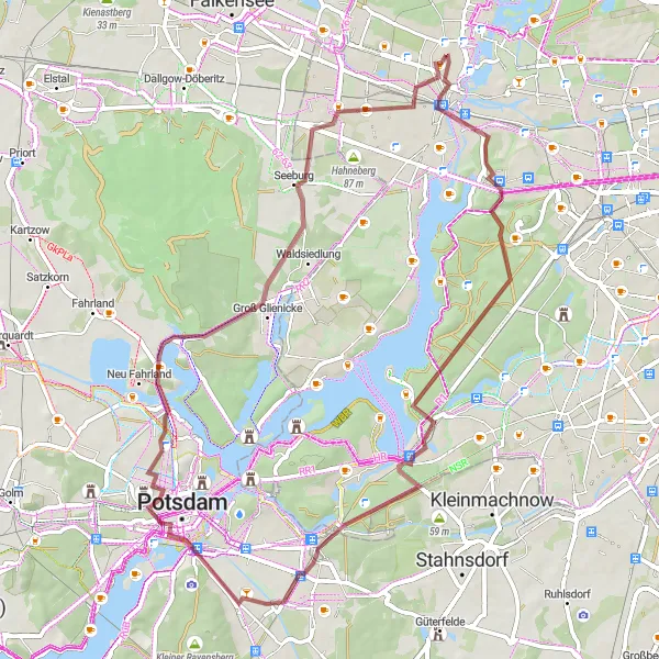
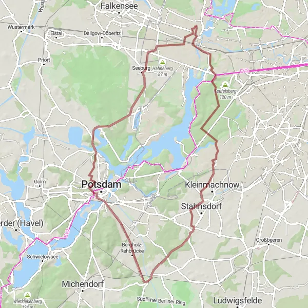
The Grunewald Challenge is a 74km road cycling route starting near Spandau. With an ascent of 236m, this route offers a challenging experience for well-trained amateur cyclists. The route takes cyclists through Grunewald forest, passing by Juliusturm, Alte Hakeburg, Stöckerhaus, Generalseichen, Kellerberg, Seeburg, and Falkenhagener Feld. Cyclists will also have the opportunity to enjoy nature and wildlife along the way.
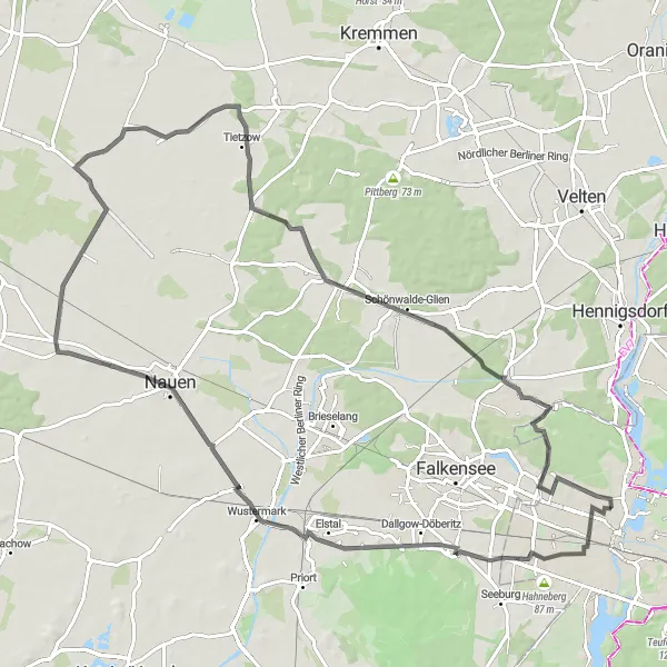
Experience the beautiful countryside along the Scenic Brieselang loop.
The Scenic Brieselang Loop is an 80km road cycling route starting near Spandau. With an ascent of 168m, this route is moderately challenging for well-trained amateurs. Passing through Falkensee, Brieselang, Börnicke, and Marwitz, cyclists will have the opportunity to experience the beautiful countryside surrounding Berlin. Highlight stops along this route include Falkensee, Brieselang, Börnicke, Marwitz, Mathiasberg, Schönwalde-Siedlung, and Hakenfelde.
Historical Journey
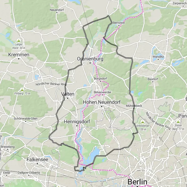
Embark on a historical journey on this road cycling route near Spandau
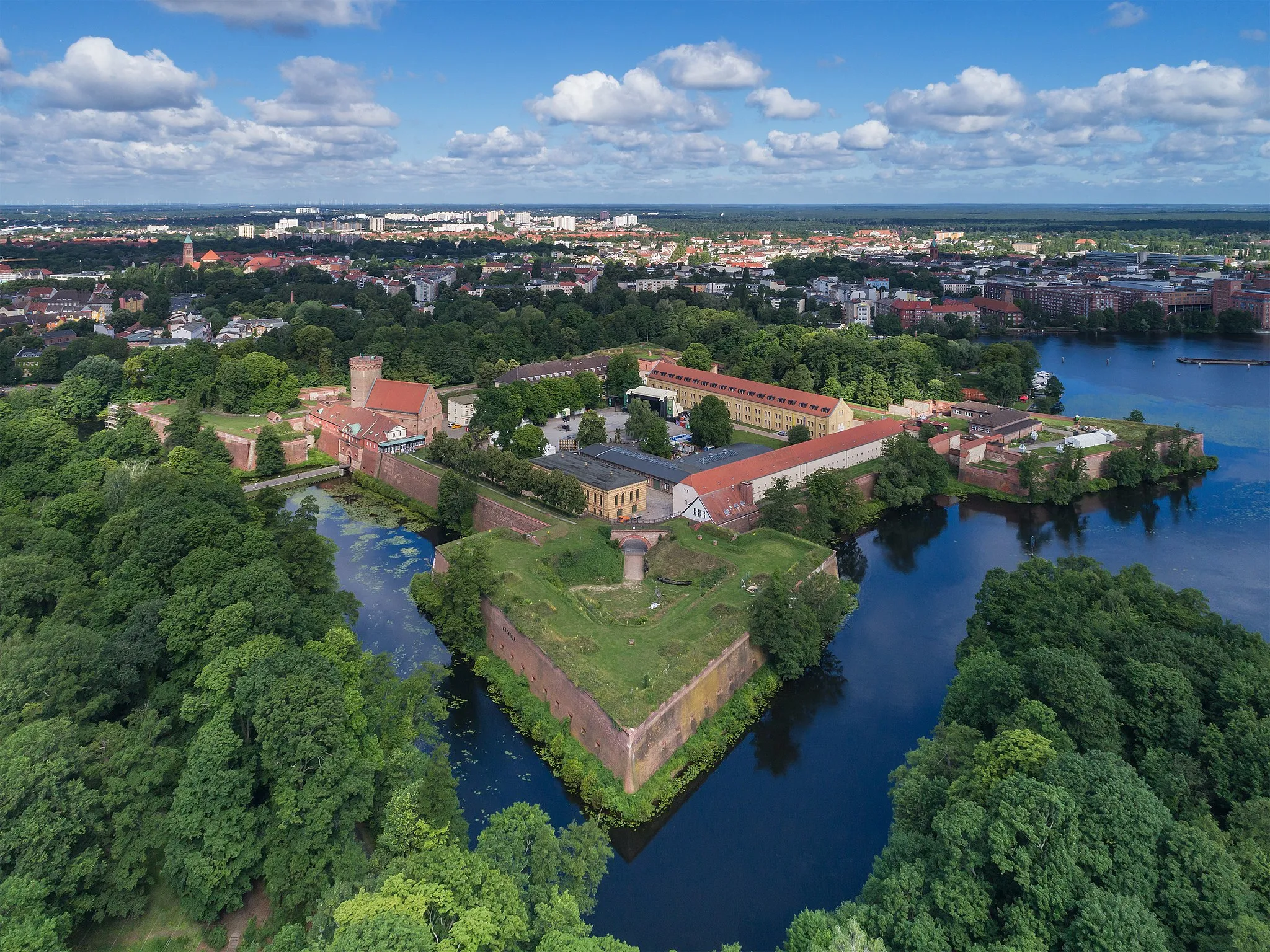
Discover the historical landmarks of the area on this 93km road cycling route with an ascent of 260m. Highlights include Möritz-Gedenkplatz, Schönwalde-Dorf, Sachsenhausen, Schmachtenhagen, Mühlenbeck, Mühlberg, Borsigdamm, and Spandau Citadel. Immerse yourself in history as you ride through these fascinating sites.
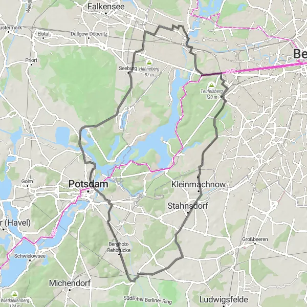
Embark on an epic gravel expedition near Spandau
Prepare for an epic adventure with this challenging gravel route. Spanning 59km with an ascent of 236m, this route showcases the best of the region's gravel trails. Highlights include Spandau, Murellenberg, Plateau, Kleistgrab, Dachterrasse, Brandenburger Tor, Kellerberg, and Seeburg. Experience the thrill of off-road cycling and enjoy the rugged beauty of the landscapes along the way.
Road to History
Embark on a historical road cycling journey near Spandau
This road cycling route offers a mix of history and scenic beauty as you ride 90km with an ascent of 191m. Explore the enchanting Nordheide and immerse yourself in the rich history of the 1936 Olympic Village. The route also takes you through Lietzow, Deutschhof, and Börnicke, highlighting their unique characteristics and charm. Don't miss the picturesque landscapes of Pausin and Schönwalde-Siedlung along the way.
Spandau Nature Trail

Explore the natural beauty of Spandau and enjoy scenic views from Dachterrasse.
The Spandau Nature Trail is a 60km gravel cycling route starting near Spandau with an ascent of 242m. The route offers a challenging experience for well-trained amateurs. Cyclists will have the opportunity to explore the natural beauty of Spandau, passing through Murellenberg, Plateau, Kleistgrab, and Seeburg. Highlights of this route include Dachterrasse, Brandenburger Tor, and Kellerberg.
Charlottenburg Gravel Adventure

Discover the beautiful views on castle Charlottenburg along this gravel route.
The Charlottenburg Gravel Adventure is a 53km gravel cycling route beginning near Spandau. With 148m of ascent, the route is moderately challenging for well-trained amateur cyclists. The highlight of this route is undoubtedly the beautiful view on castle Charlottenburg. Other highlights include Charlottenburg, Siegessäule, Motorwerk Berlin, Belvedere, and Spandau Citadel. Cyclists will also pass by Wedding and Juliusturm.
The Gravel Adventure
Embark on an exciting gravel adventure near Spandau
Experience the thrill of off-road cycling with this challenging gravel route. With a distance of 71km and an ascent of 247m, this route takes you through scenic landscapes and highlights the natural beauty of the area. The route passes through Spandau, Murellenberg, Havelberg, and the historic Straßenbahn. The highlights along the route include the iconic Brandenburger Tor and the picturesque Seeburg.
Cycling routes nearby:
Nearby regions: