Grunewald Challenge
A road cycling route starting from Spandau
Embark on a challenging road cycling journey through Grunewald forest.
Map
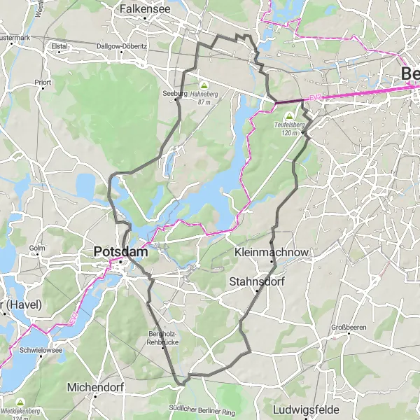
The Grunewald Challenge is a 74km road cycling route starting near Spandau. With an ascent of 236m, this route offers a challenging experience for well-trained amateur cyclists. The route takes cyclists through Grunewald forest, passing by Juliusturm, Alte Hakeburg, Stöckerhaus, Generalseichen, Kellerberg, Seeburg, and Falkenhagener Feld. Cyclists will also have the opportunity to enjoy nature and wildlife along the way.
road
74 km
236 m
Tough
Route profile
Highlights on the route
0 km
0 km
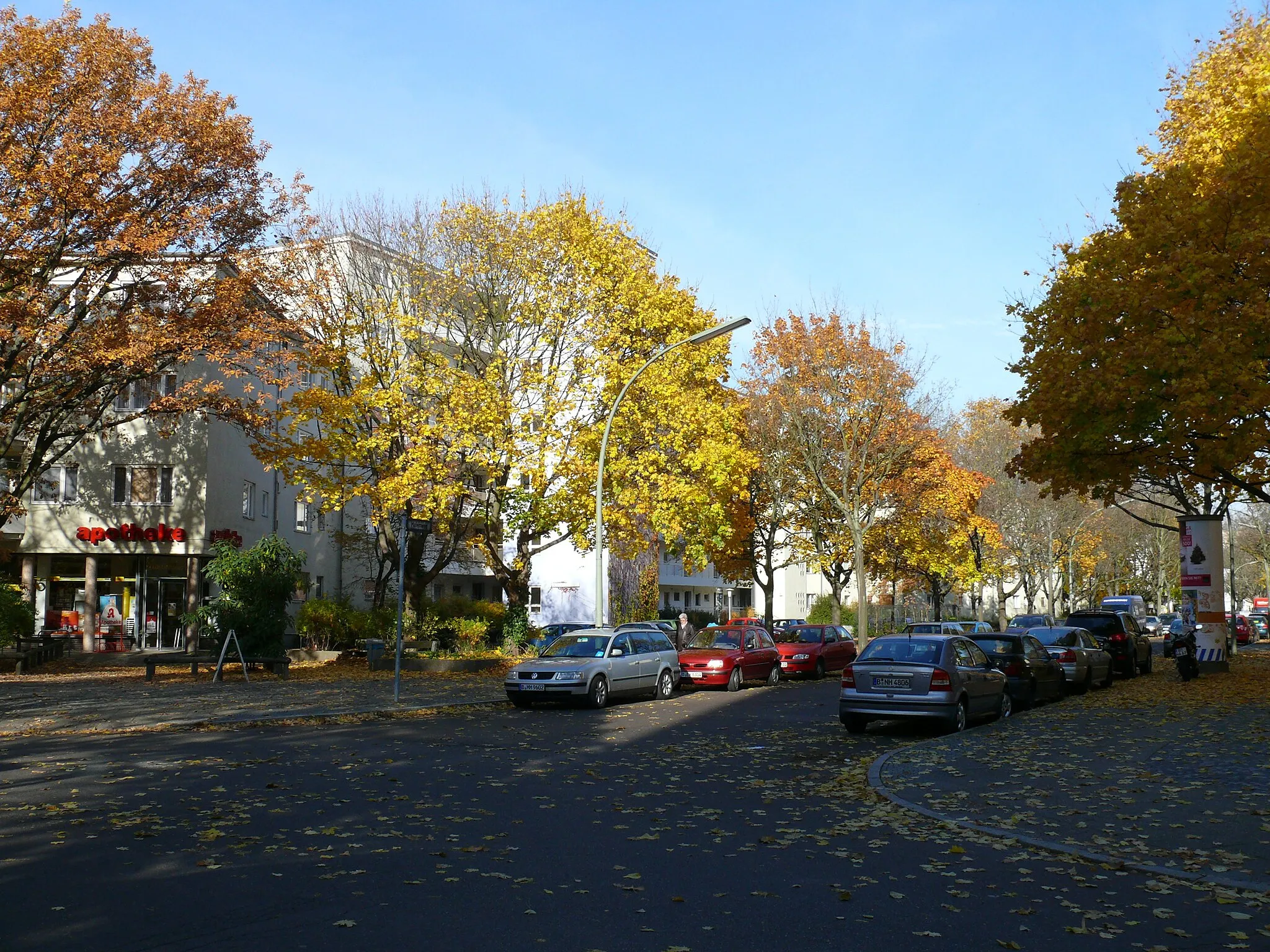
Start: Locality centerSpandau: Cyclist-friendly locality with diverse riding options and easy access to city and nature routes.
Spandau is a locality located in the Berlin region of Germany. From a cyclist's perspective, Spandau provides excellent cycling infrastructure with numerous well-maintained roads and designated cycling paths. The area offers a mix of urban biking and countryside routes. Cyclists can explore historical landmarks and urban landscapes, as well as venture into nearby nature reserves for a more nature-focused ride. One famous cycling spot nearby is Lake Wannsee, a popular destination for cyclists due to its beautiful surroundings. Overall, Spandau is a cyclist-friendly locality with diverse riding options and easy access to both city and nature routes.1 km
1 km
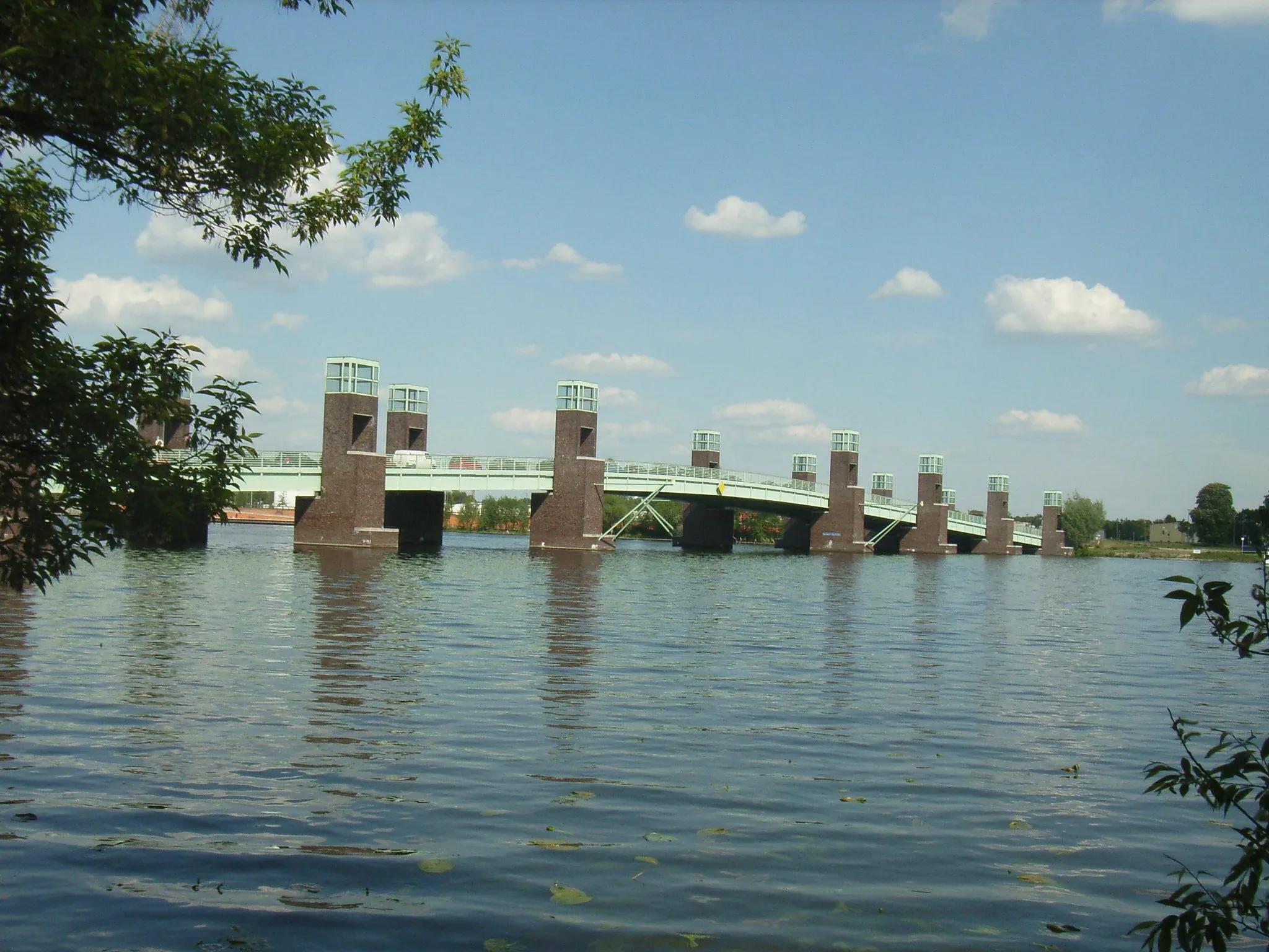
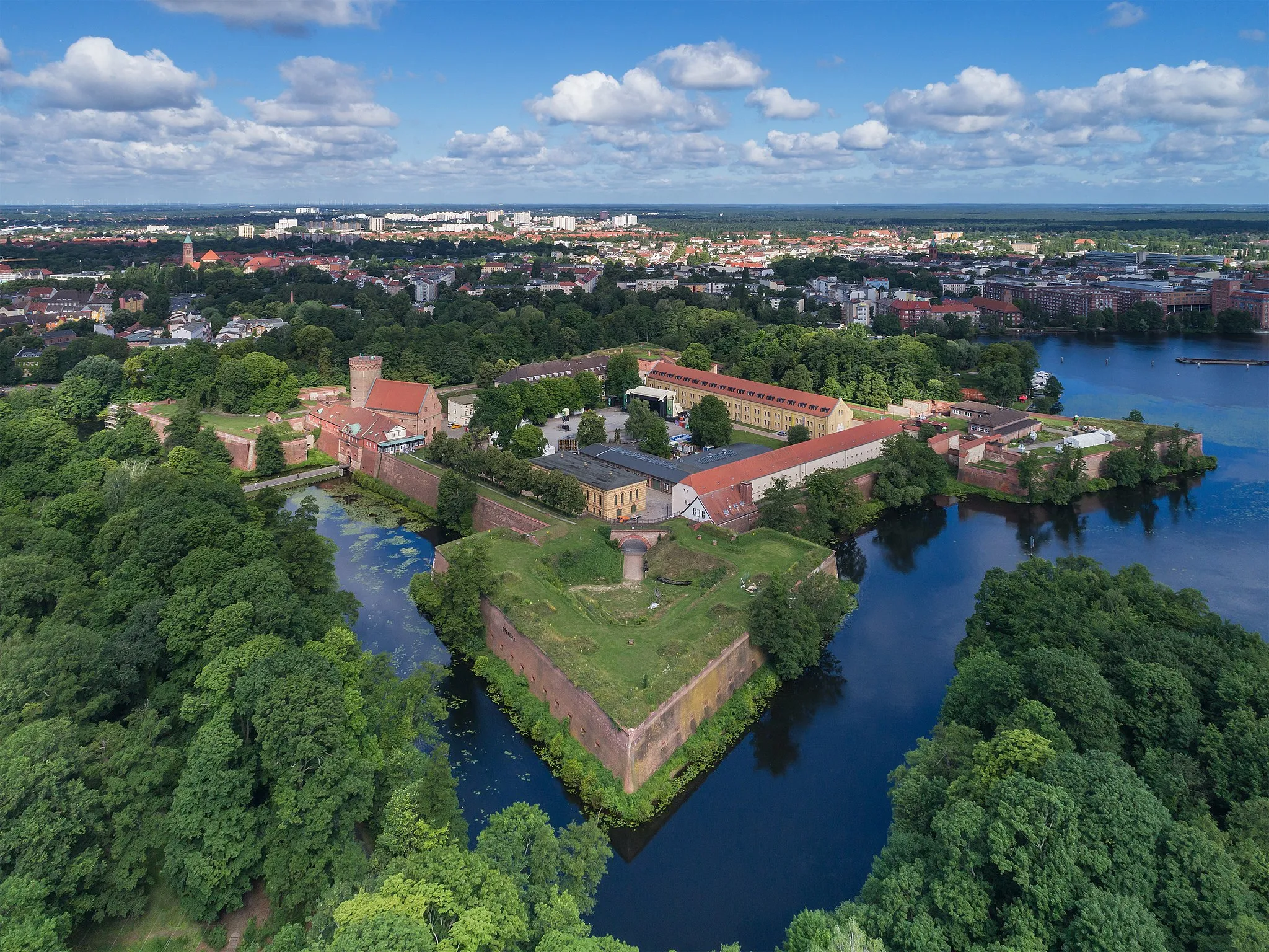
JuliusturmViewpointJuliusturm is a preserved tower of the medieval fortifications, providing a glimpse into the historical past of the region.
12 km
12 km
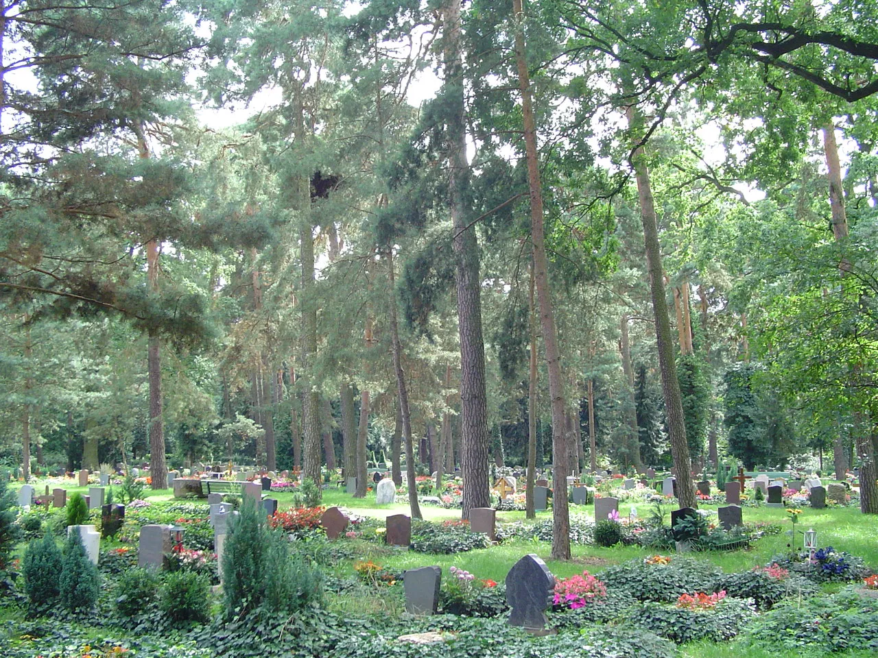
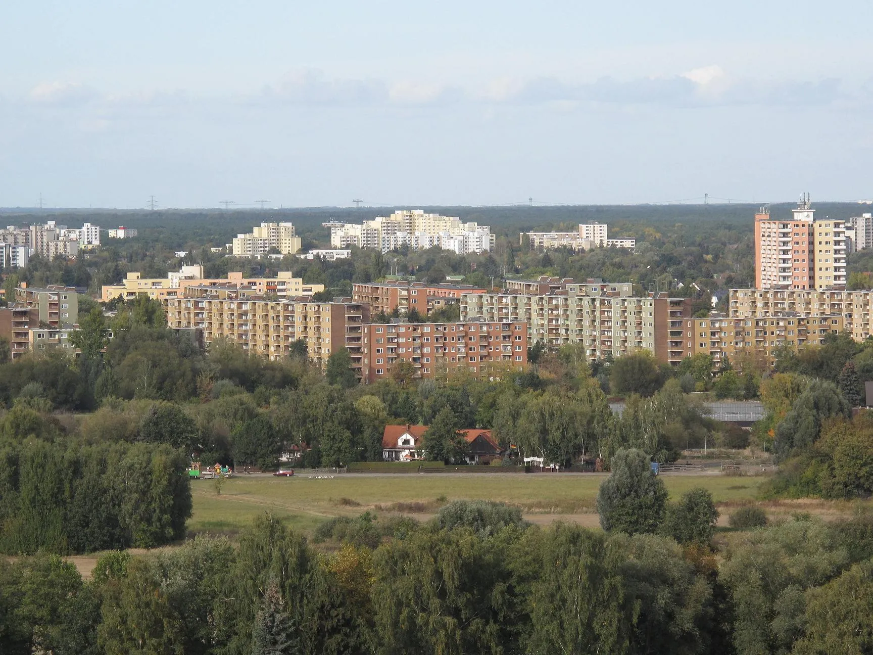
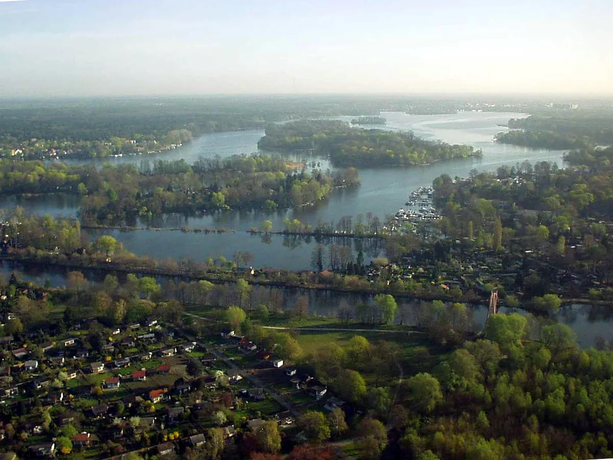
GrunewaldSub-urbGrunewald is a large forested area located on the outskirts of Berlin, offering peaceful nature trails and scenic beauty.
24 km
24 km
Alte HakeburgCastle RuinsAlte Hakeburg is a medieval castle ruin surrounded by the lush greenery of Grunewald forest, with a fascinating history to explore.
36 km
36 km
StöckerhausHamletStöckerhaus is a charming cafe located in Grunewald forest, offering a perfect spot to make a pit stop and refuel.
47 km
47 km
GeneralseichenViewpointGeneralseichen is a prominent tree with a distinctive shape and is considered a symbol of strength and resilience.
56 km
56 km
Kellerberg38 mPeakKellerberg is a hill with a network of underground corridors and tunnels used during World War II.
64 km
64 km
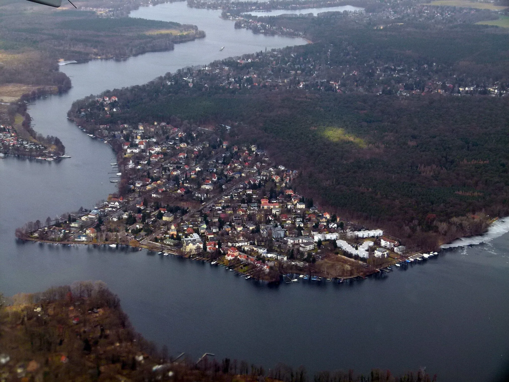
SeeburgVillageSeeburg is a picturesque lake surrounded by lush greenery, offering a serene setting for a relaxing break.
71 km
71 km
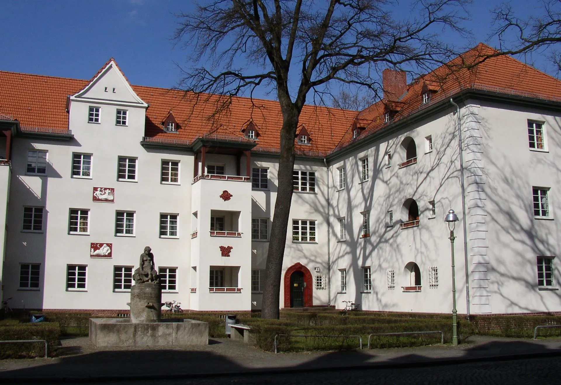
Falkenhagener FeldSub-urbFalkenhagener Feld is a neighborhood located on the edge of Berlin, known for its large open spaces and tranquility.
74 km
74 km
Finish: Locality centerSpandau: Cyclist-friendly locality with diverse riding options and easy access to city and nature routes.
Cycling routes nearby: