Scenic Brieselang Loop
A road cycling route starting from Spandau
Experience the beautiful countryside along the Scenic Brieselang loop.
Map
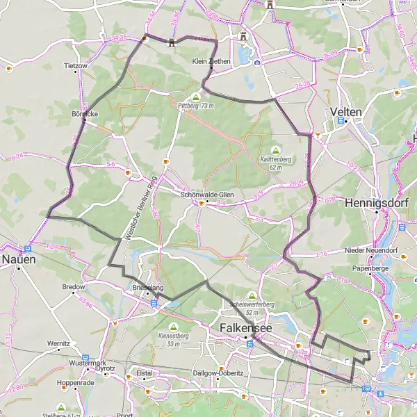
The Scenic Brieselang Loop is an 80km road cycling route starting near Spandau. With an ascent of 168m, this route is moderately challenging for well-trained amateurs. Passing through Falkensee, Brieselang, Börnicke, and Marwitz, cyclists will have the opportunity to experience the beautiful countryside surrounding Berlin. Highlight stops along this route include Falkensee, Brieselang, Börnicke, Marwitz, Mathiasberg, Schönwalde-Siedlung, and Hakenfelde.
road
80 km
168 m
Tough
Route profile
Highlights on the route
0 km
0 km
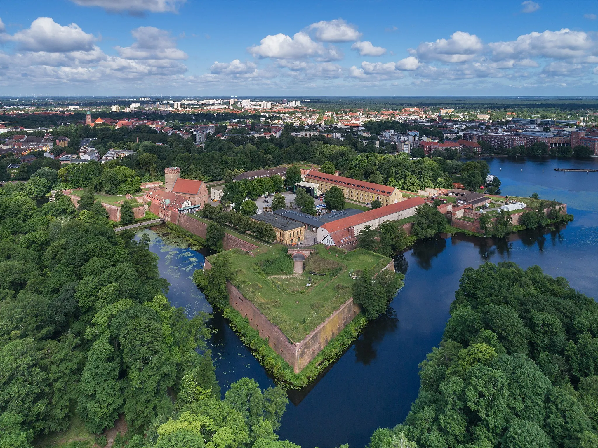
Start: Locality centerSpandau: Cyclist-friendly locality with diverse riding options and easy access to city and nature routes.
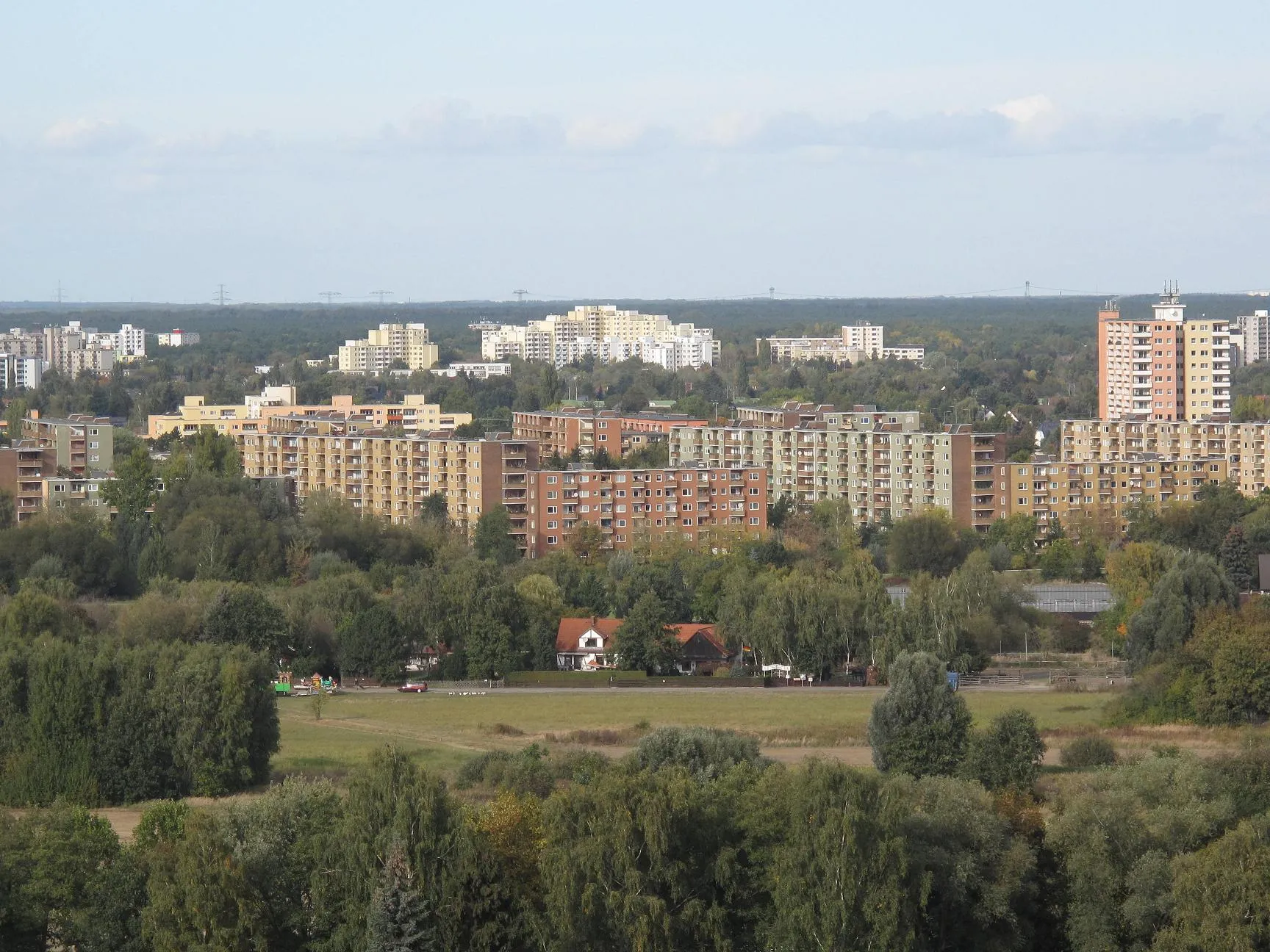
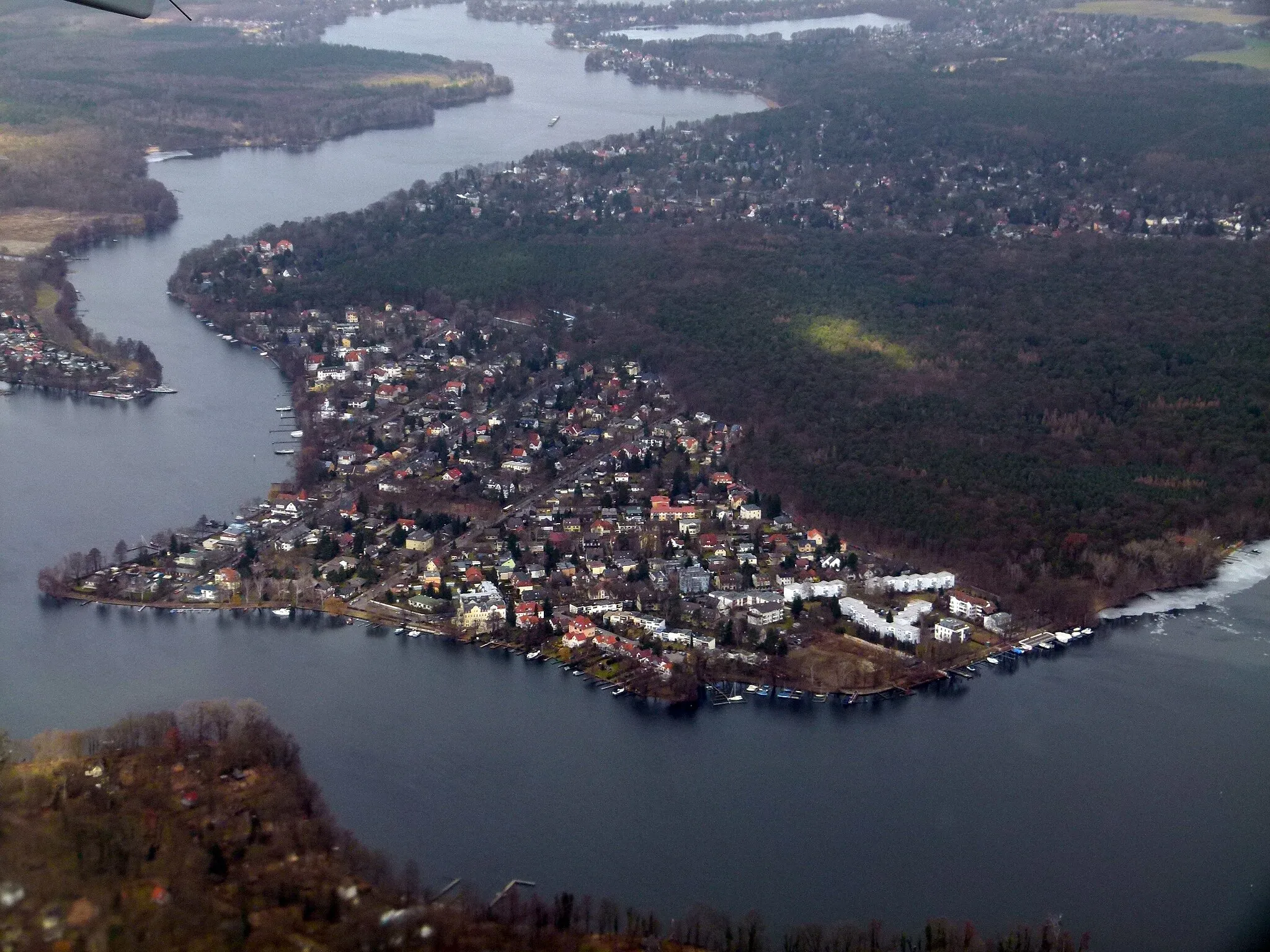
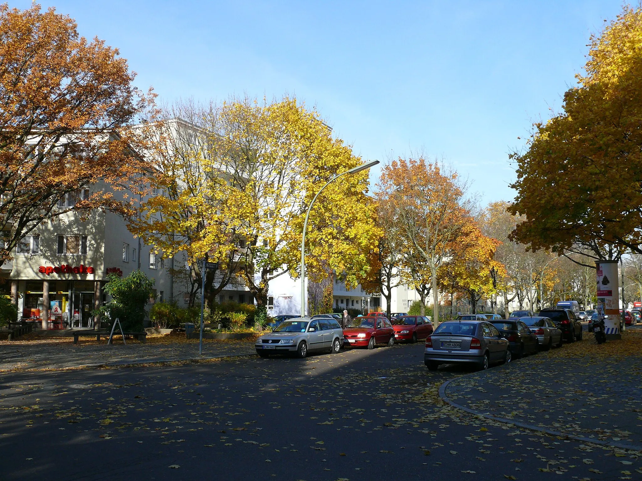
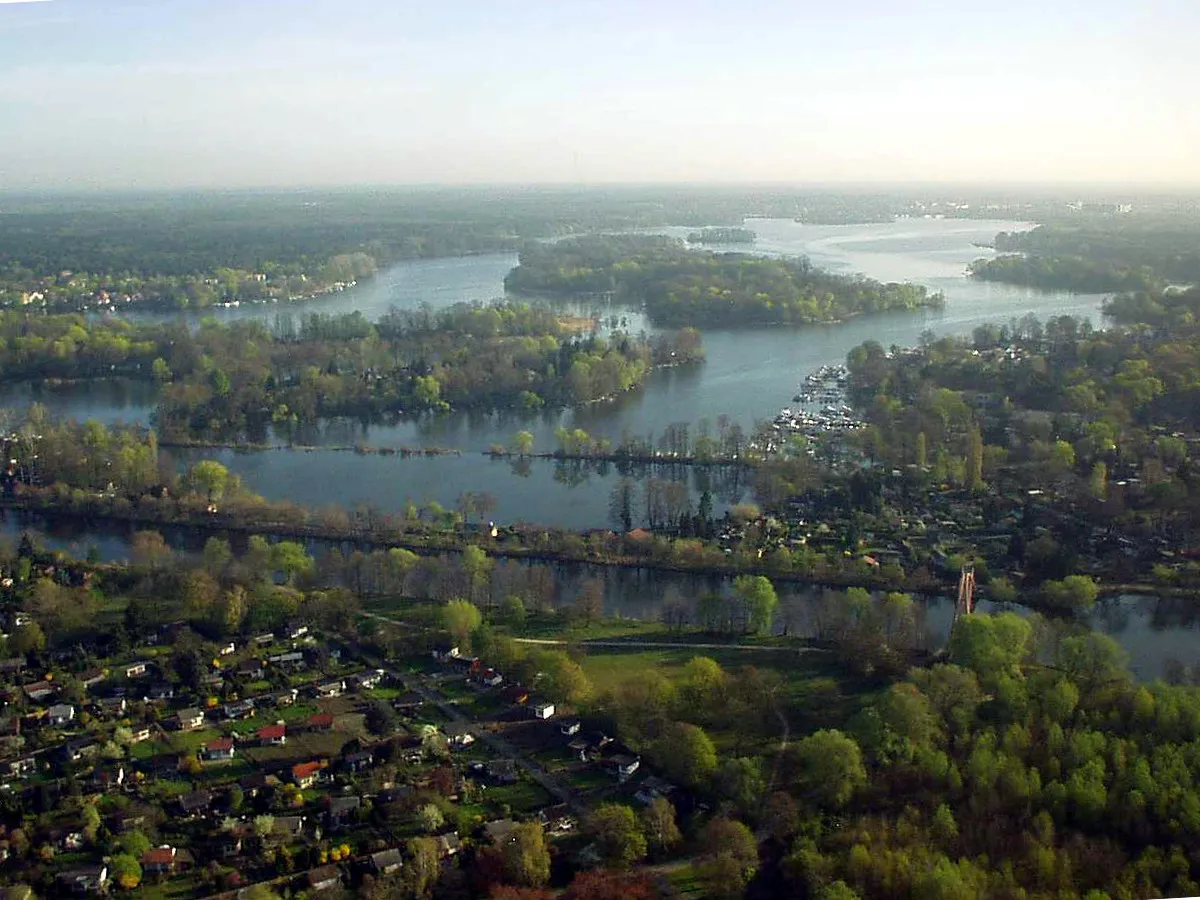
Spandau is a locality located in the Berlin region of Germany. From a cyclist's perspective, Spandau provides excellent cycling infrastructure with numerous well-maintained roads and designated cycling paths. The area offers a mix of urban biking and countryside routes. Cyclists can explore historical landmarks and urban landscapes, as well as venture into nearby nature reserves for a more nature-focused ride. One famous cycling spot nearby is Lake Wannsee, a popular destination for cyclists due to its beautiful surroundings. Overall, Spandau is a cyclist-friendly locality with diverse riding options and easy access to both city and nature routes.10 km
10 km
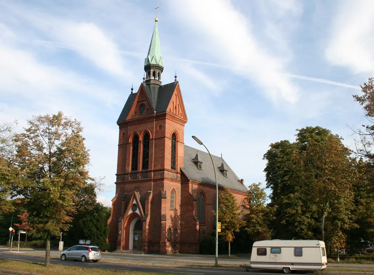
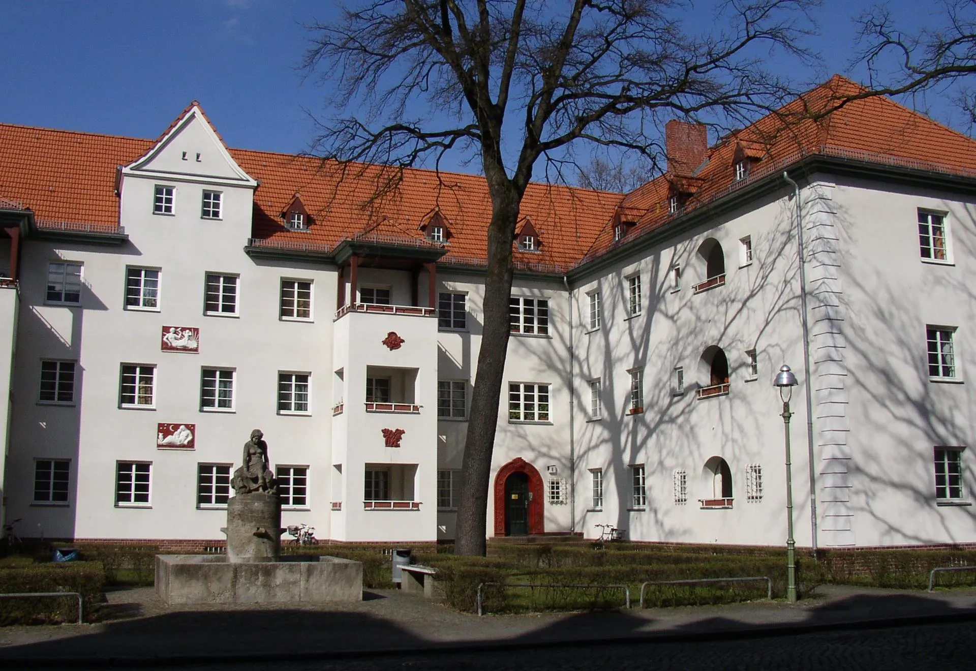
FalkenseeTownFalkensee is a charming town surrounded by picturesque lakes and nature reserves.
19 km
19 km
BrieselangVillageBrieselang is a small town known for its vast fields and beautiful landscapes.
36 km
36 km
BörnickeVillageBörnicke is a peaceful village with historic buildings and a tranquil atmosphere.
58 km
58 km
MarwitzSub-urbMarwitz is a scenic village located in the Havelland district, offering picturesque views of the countryside.
59 km
59 km
Mathiasberg50 mPeakMathiasberg is a hill near Falkensee with a panoramic viewpoint over the surrounding landscape.
68 km
68 km
Schönwalde-SiedlungSub-urbSchönwalde-Siedlung is a rural area known for its agricultural landscapes and charming farmhouses.
79 km
79 km
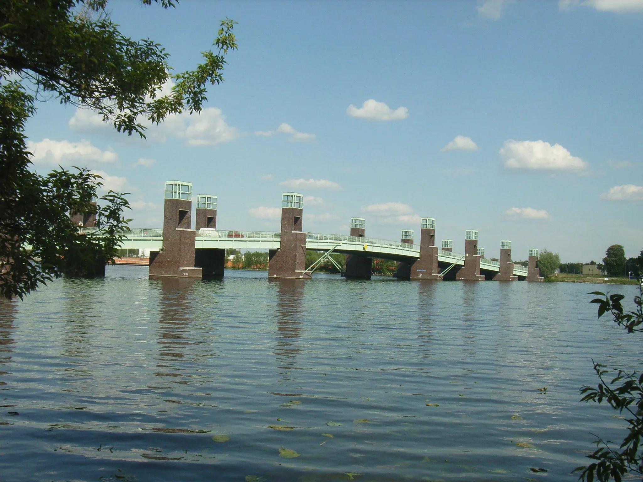
HakenfeldeSub-urbHakenfelde is a district in Berlin located by the River Havel, offering waterfront views and green spaces.
80 km
80 km
Finish: Locality centerSpandau: Cyclist-friendly locality with diverse riding options and easy access to city and nature routes.
Cycling routes nearby: