Spandau Nature Trail
A gravel cycling route starting from Spandau
Explore the natural beauty of Spandau and enjoy scenic views from Dachterrasse.
Map

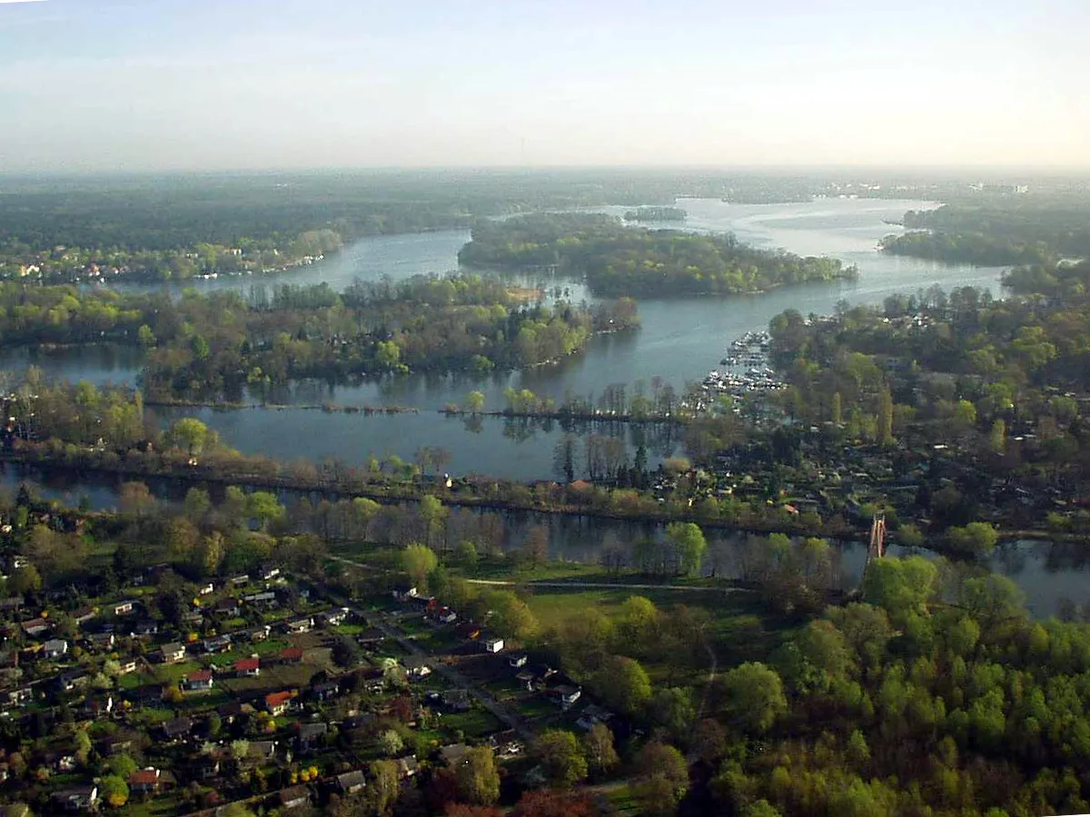
The Spandau Nature Trail is a 60km gravel cycling route starting near Spandau with an ascent of 242m. The route offers a challenging experience for well-trained amateurs. Cyclists will have the opportunity to explore the natural beauty of Spandau, passing through Murellenberg, Plateau, Kleistgrab, and Seeburg. Highlights of this route include Dachterrasse, Brandenburger Tor, and Kellerberg.
gravel
60 km
242 m
Tough
Route profile
Highlights on the route
0 km
0 km
Start: Locality centerSpandau: Cyclist-friendly locality with diverse riding options and easy access to city and nature routes.
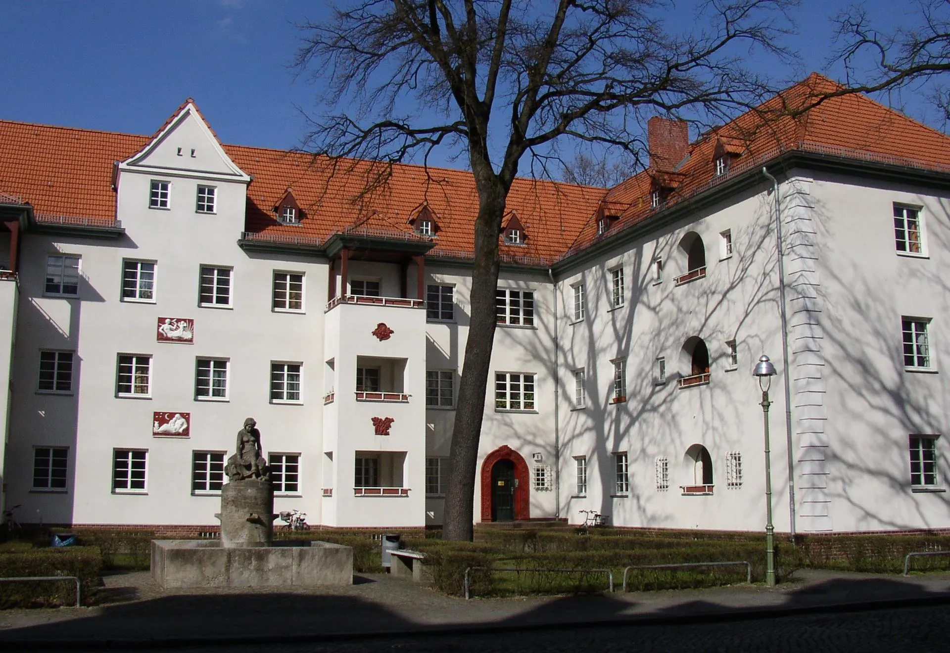
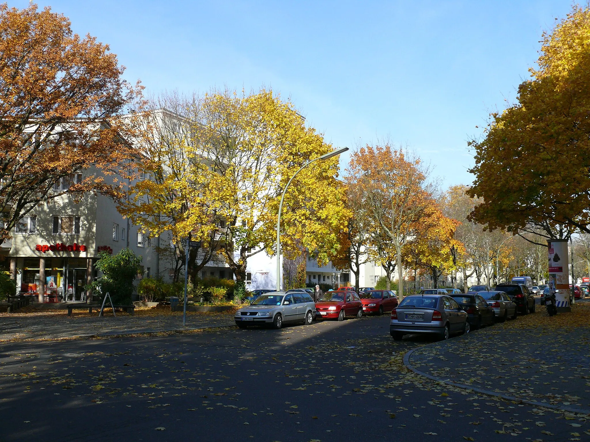
Spandau is a locality located in the Berlin region of Germany. From a cyclist's perspective, Spandau provides excellent cycling infrastructure with numerous well-maintained roads and designated cycling paths. The area offers a mix of urban biking and countryside routes. Cyclists can explore historical landmarks and urban landscapes, as well as venture into nearby nature reserves for a more nature-focused ride. One famous cycling spot nearby is Lake Wannsee, a popular destination for cyclists due to its beautiful surroundings. Overall, Spandau is a cyclist-friendly locality with diverse riding options and easy access to both city and nature routes.2 km
2 km
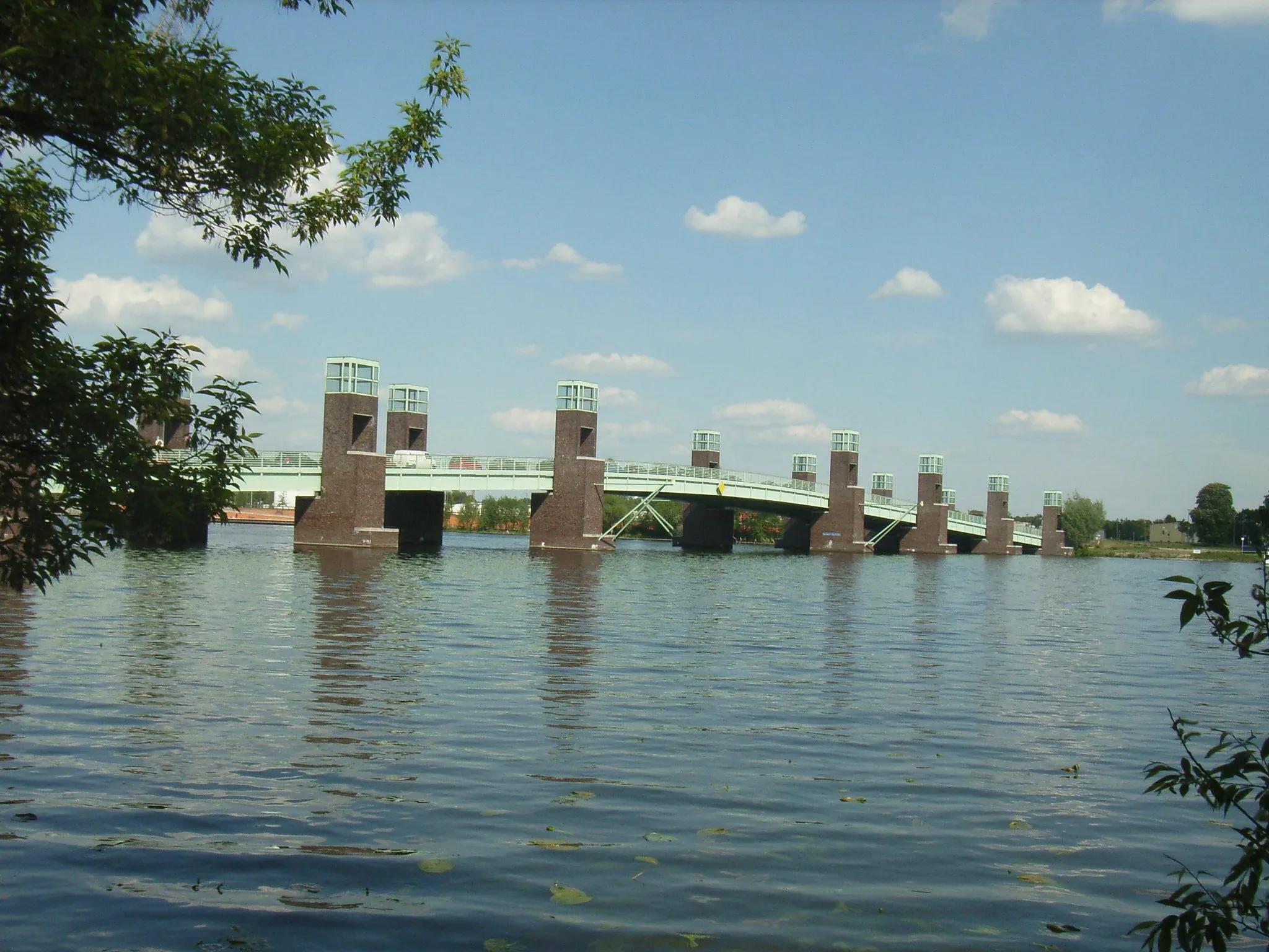
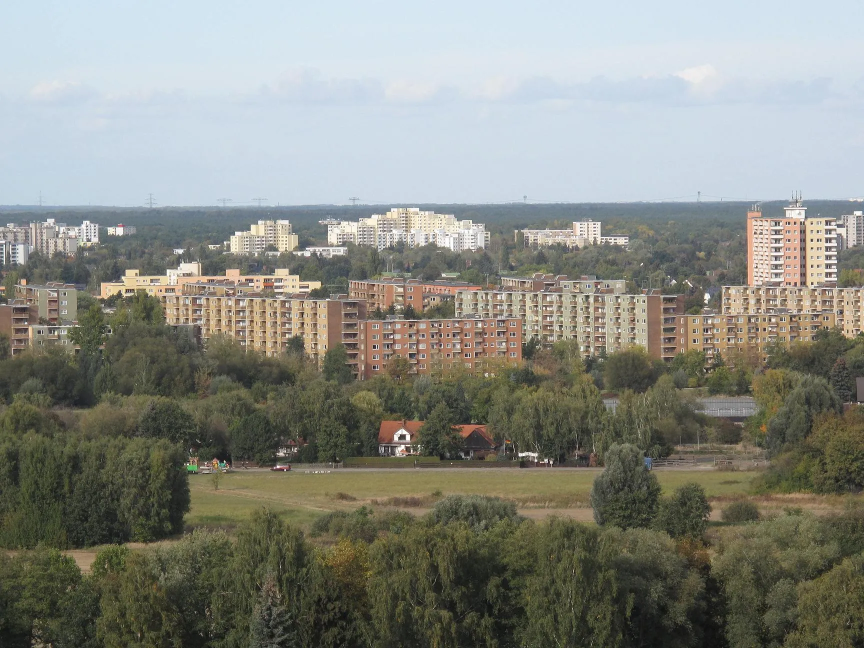
SpandauSub-urbSpandau is the starting point of the Nature Trail and offers a mix of urban charm and peaceful natural areas.
5 km
5 km
Murellenberg62 mPeakMurellenberg is a small hill in Spandau offering scenic views of the surrounding landscapes.
16 km
16 km
PlateauViewpointPlateau is a high point along the route with lovely views over Spandau's countryside.
19 km
19 km
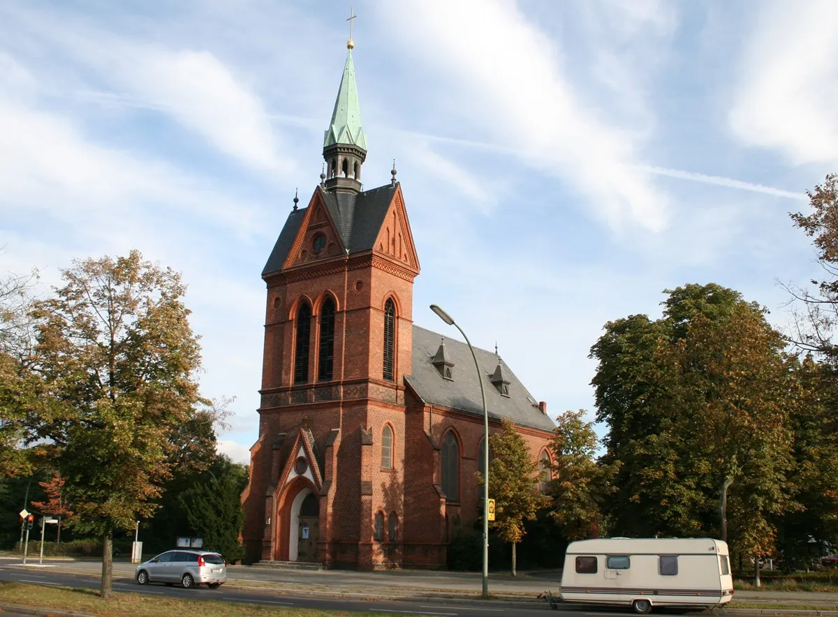
KleistgrabAttractionKleistgrab is a historic memorial site where poet Heinrich von Kleist and Henriette Vogel are buried.
33 km
33 km
DachterrasseViewpointDachterrasse is a rooftop terrace offering stunning panoramic views of Berlin and its surroundings.
34 km
34 km
Brandenburger TorAttractionBrandenburger Tor, also known as Brandenburg Gate, is an iconic symbol of Berlin and a must-visit landmark.
42 km
42 km
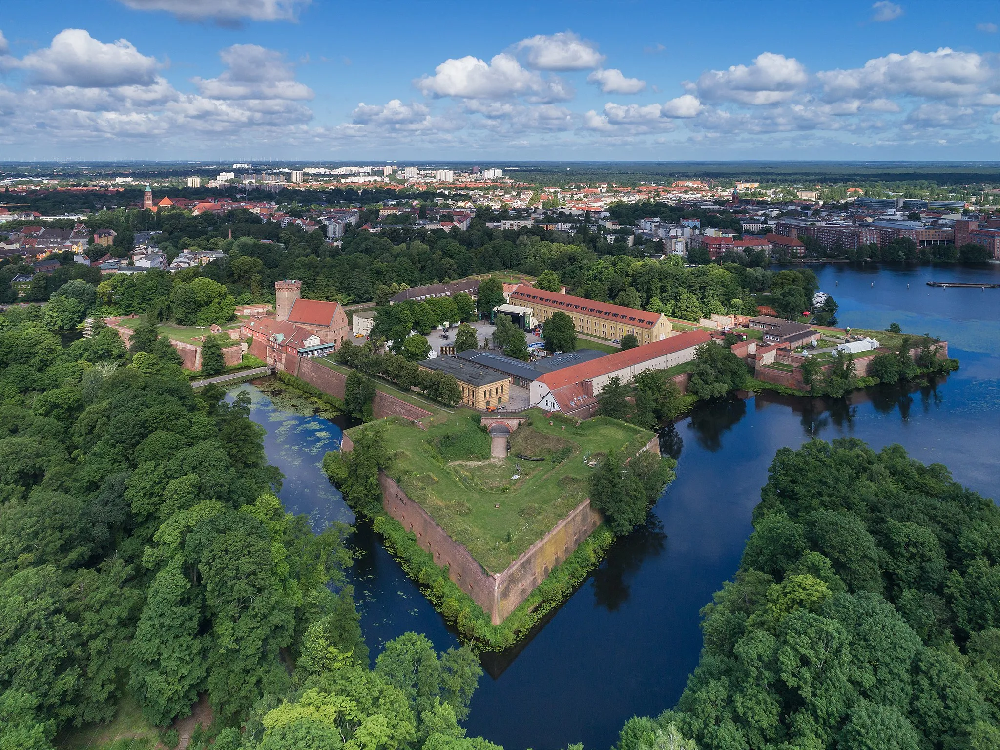
Kellerberg38 mPeakKellerberg is a hill with a network of underground corridors and tunnels used during World War II.
51 km
51 km
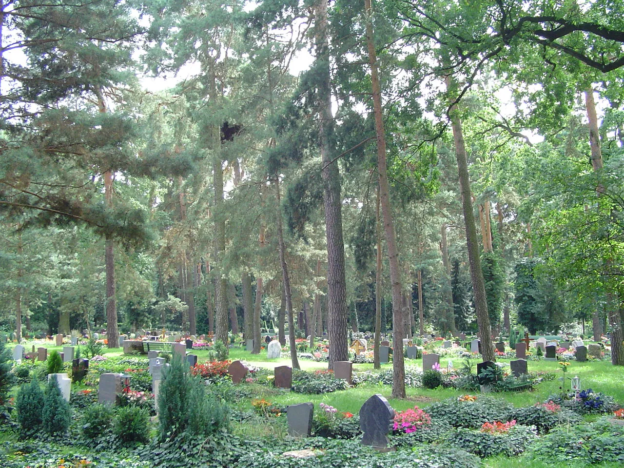
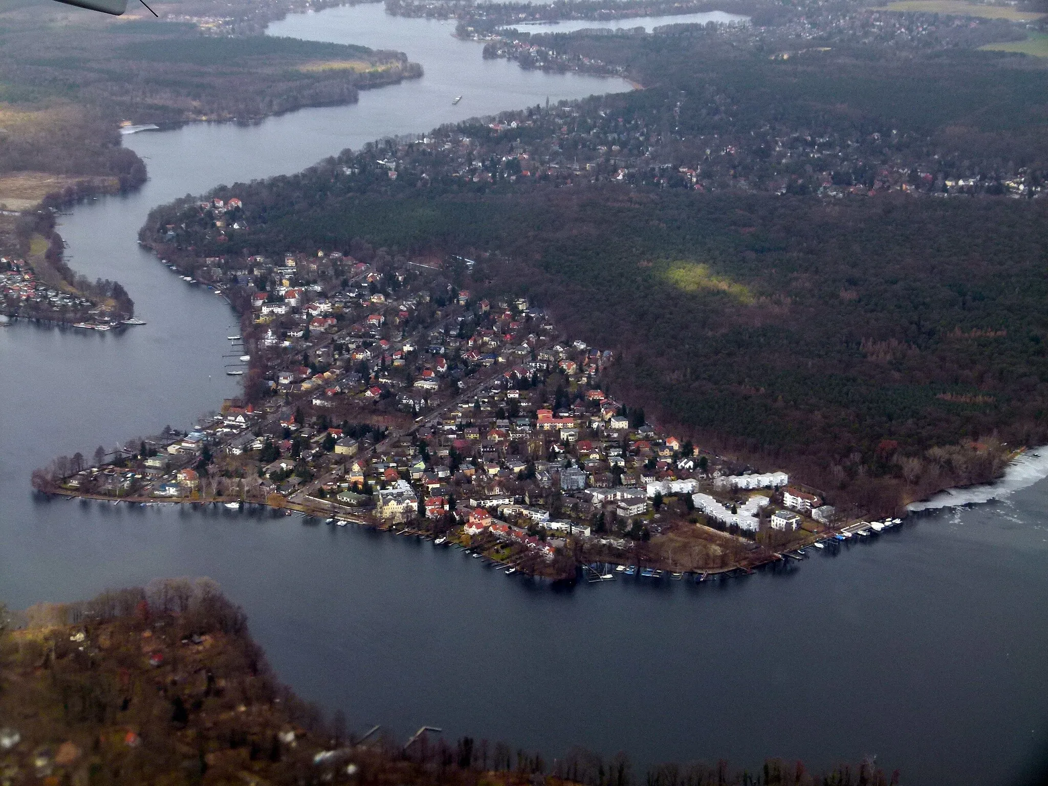
SeeburgVillageSeeburg is a picturesque lake surrounded by lush greenery, offering a serene setting for a break.
60 km
60 km
Finish: Locality centerSpandau: Cyclist-friendly locality with diverse riding options and easy access to city and nature routes.
Cycling routes nearby: