The Gravel Expedition
A gravel cycling route starting from Spandau
Embark on an epic gravel expedition near Spandau
Map
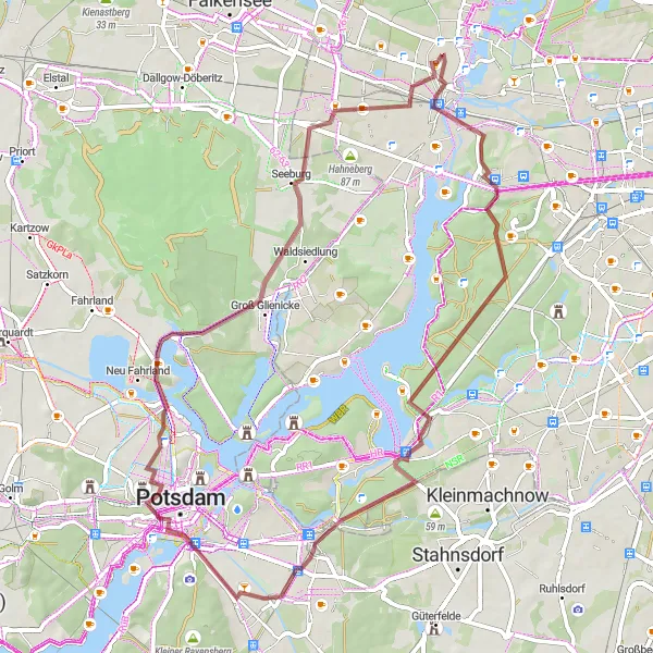
Prepare for an epic adventure with this challenging gravel route. Spanning 59km with an ascent of 236m, this route showcases the best of the region's gravel trails. Highlights include Spandau, Murellenberg, Plateau, Kleistgrab, Dachterrasse, Brandenburger Tor, Kellerberg, and Seeburg. Experience the thrill of off-road cycling and enjoy the rugged beauty of the landscapes along the way.
gravel
59 km
236 m
Tough
Route profile
Highlights on the route
0 km
0 km
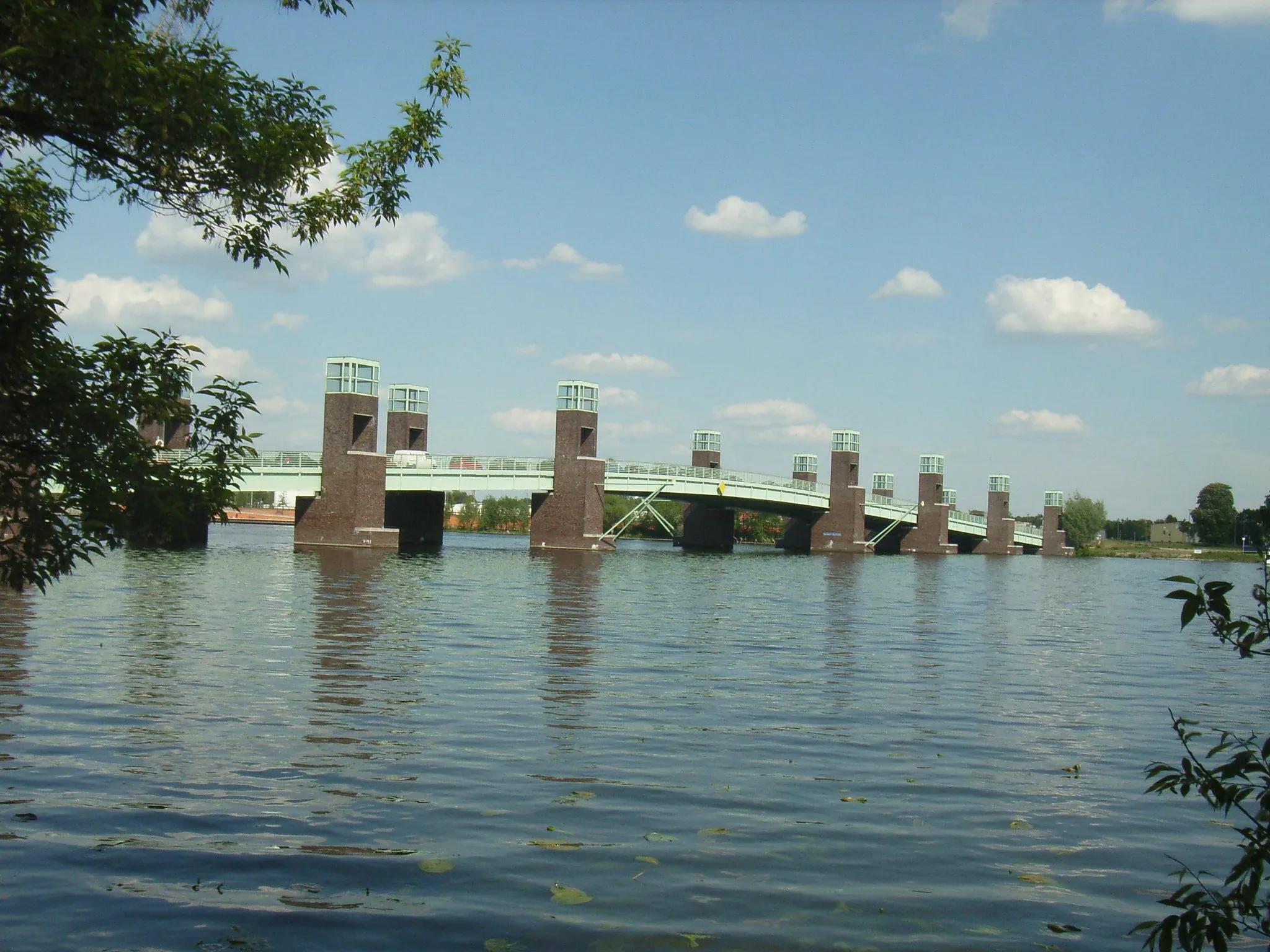
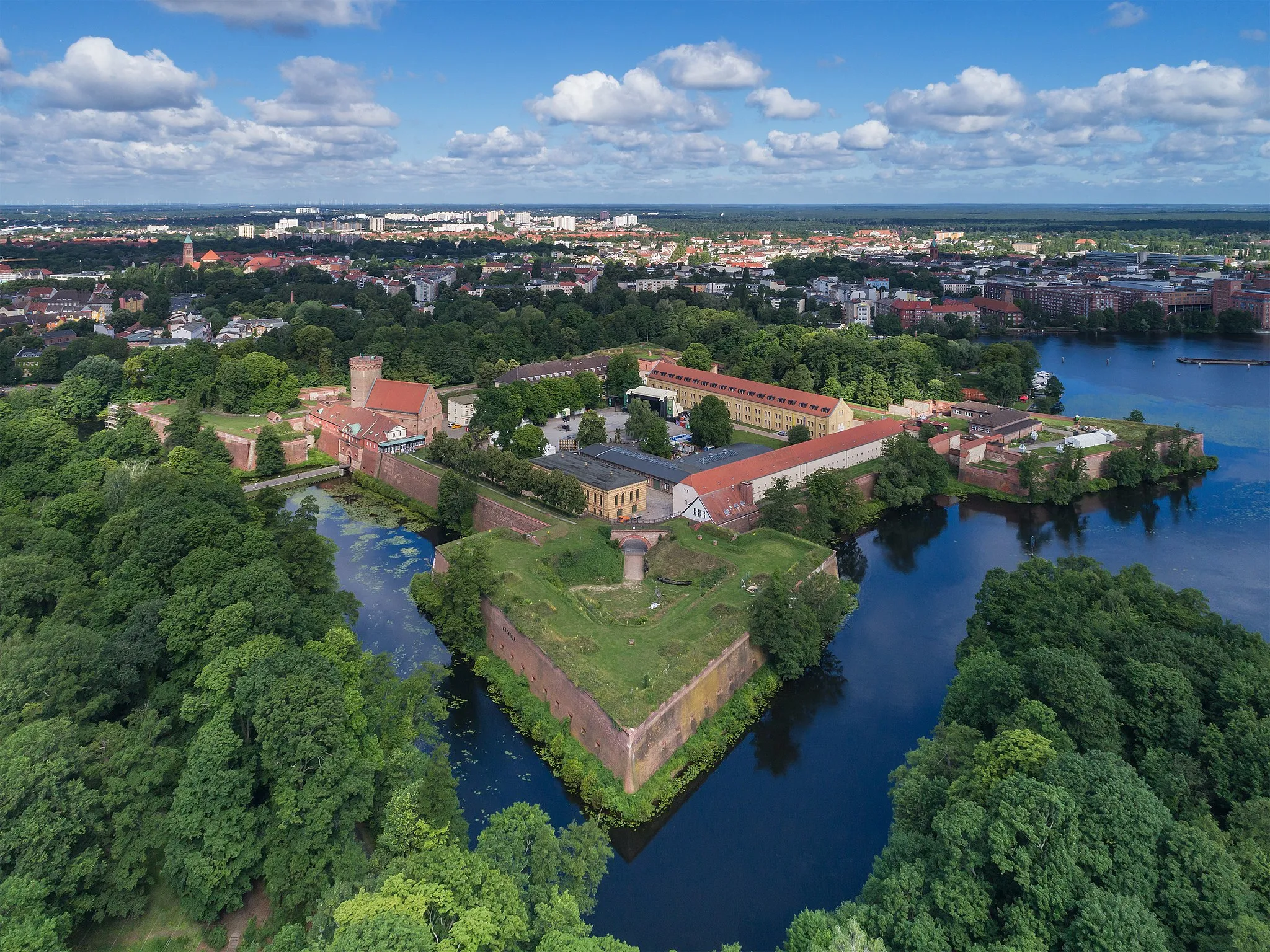
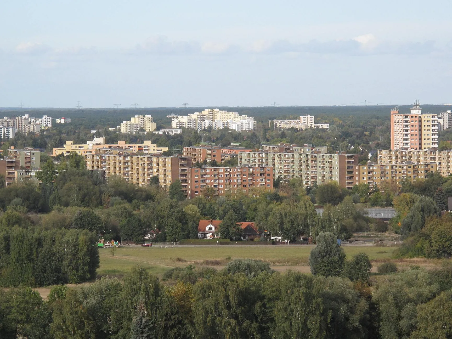
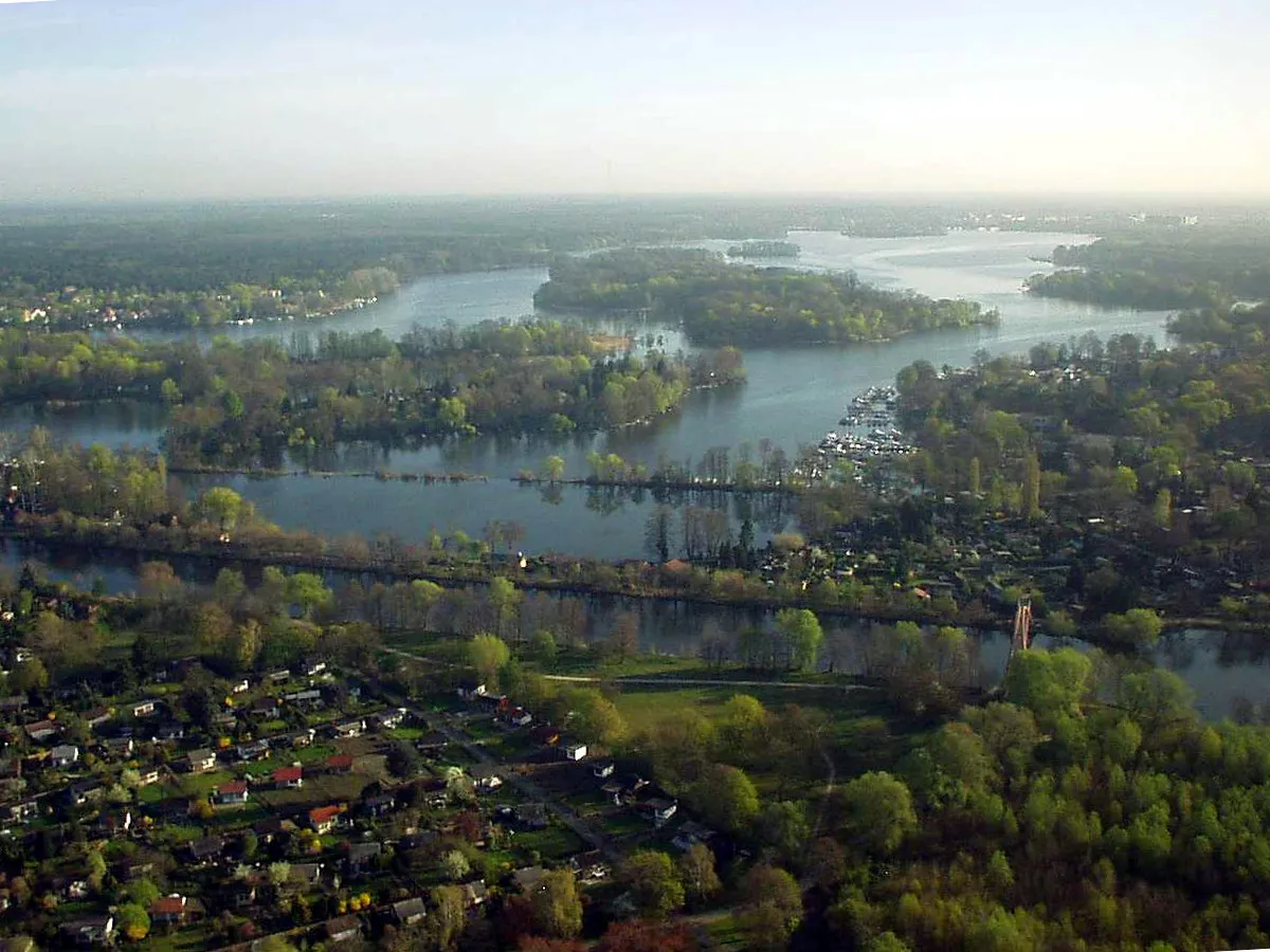
Start: Locality centerSpandau: Cyclist-friendly locality with diverse riding options and easy access to city and nature routes.
Spandau is a locality located in the Berlin region of Germany. From a cyclist's perspective, Spandau provides excellent cycling infrastructure with numerous well-maintained roads and designated cycling paths. The area offers a mix of urban biking and countryside routes. Cyclists can explore historical landmarks and urban landscapes, as well as venture into nearby nature reserves for a more nature-focused ride. One famous cycling spot nearby is Lake Wannsee, a popular destination for cyclists due to its beautiful surroundings. Overall, Spandau is a cyclist-friendly locality with diverse riding options and easy access to both city and nature routes.2 km
2 km
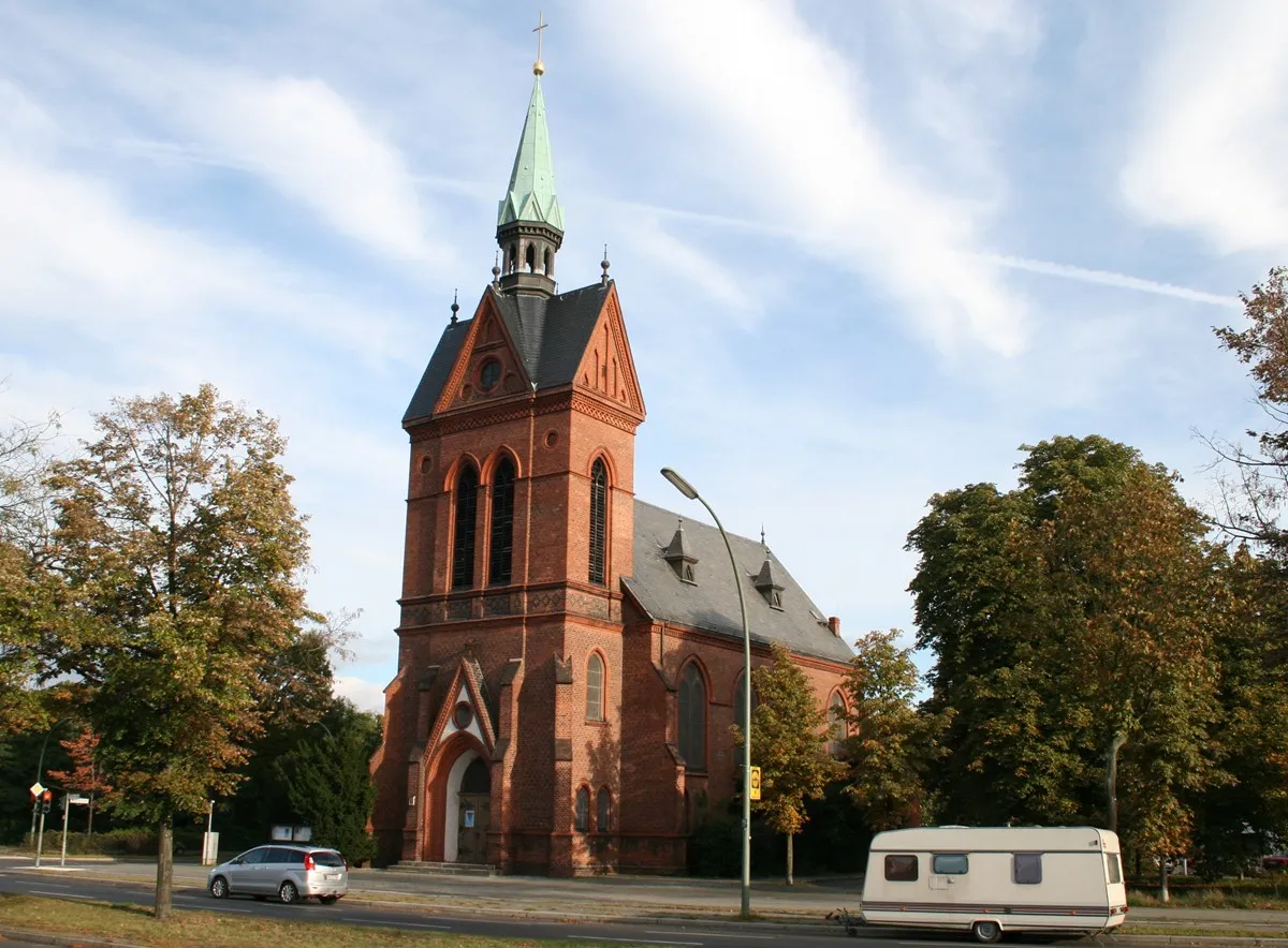
SpandauSub-urbCycle through the historical streets of Spandau and soak in its rich heritage.
5 km
5 km
Murellenberg62 mPeakExplore the mesmerizing landscapes of Murellenberg and take some unforgettable photos.
16 km
16 km
PlateauViewpointExperience the magnificence of Plateau and be amazed by its breathtaking views.
19 km
19 km
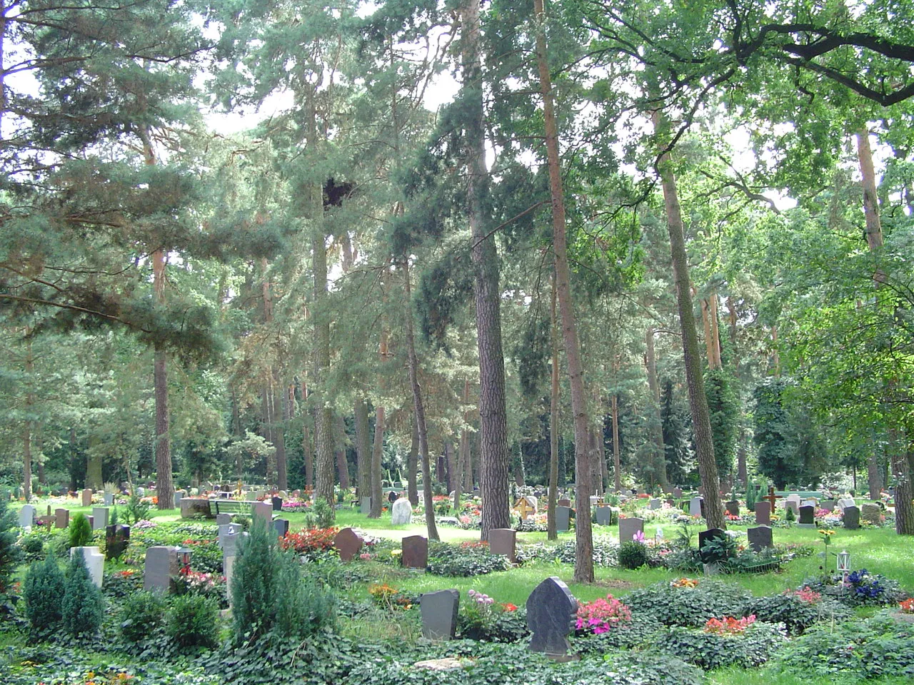
KleistgrabAttractionDiscover Kleistgrab, a hidden gem that holds interesting stories from the past.
32 km
32 km
DachterrasseViewpointMake your way to the Dachterrasse and enjoy panoramic views of the surrounding area.
34 km
34 km
Brandenburger TorAttractionDon't miss the opportunity to visit the iconic Brandenburger Tor, an emblem of Berlin.
42 km
42 km
Kellerberg38 mPeakExplore the fascinating history of Kellerberg and learn about its significance.
50 km
50 km
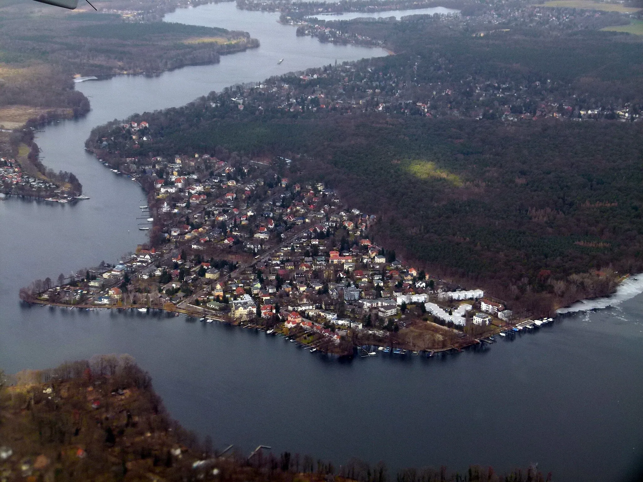
SeeburgVillageTake a detour to Seeburg and relax by the peaceful lake.
59 km
59 km
Finish: Locality centerSpandau: Cyclist-friendly locality with diverse riding options and easy access to city and nature routes.
Cycling routes nearby: