Parks and Hills
A road cycling route starting from Konradshoehe
Explore the scenic parks and challenging hills of Berlin
Map
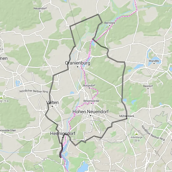
This route takes you through some of the most beautiful parks and hilly landscapes near Konradshöhe. Enjoy the stunning views and test your climbing skills on challenging ascents. With a mix of road and gravel sections, this route offers diverse terrain for all cyclists.
road
80 km
188 m
Tough
Route profile
Highlights on the route
0 km
0 km
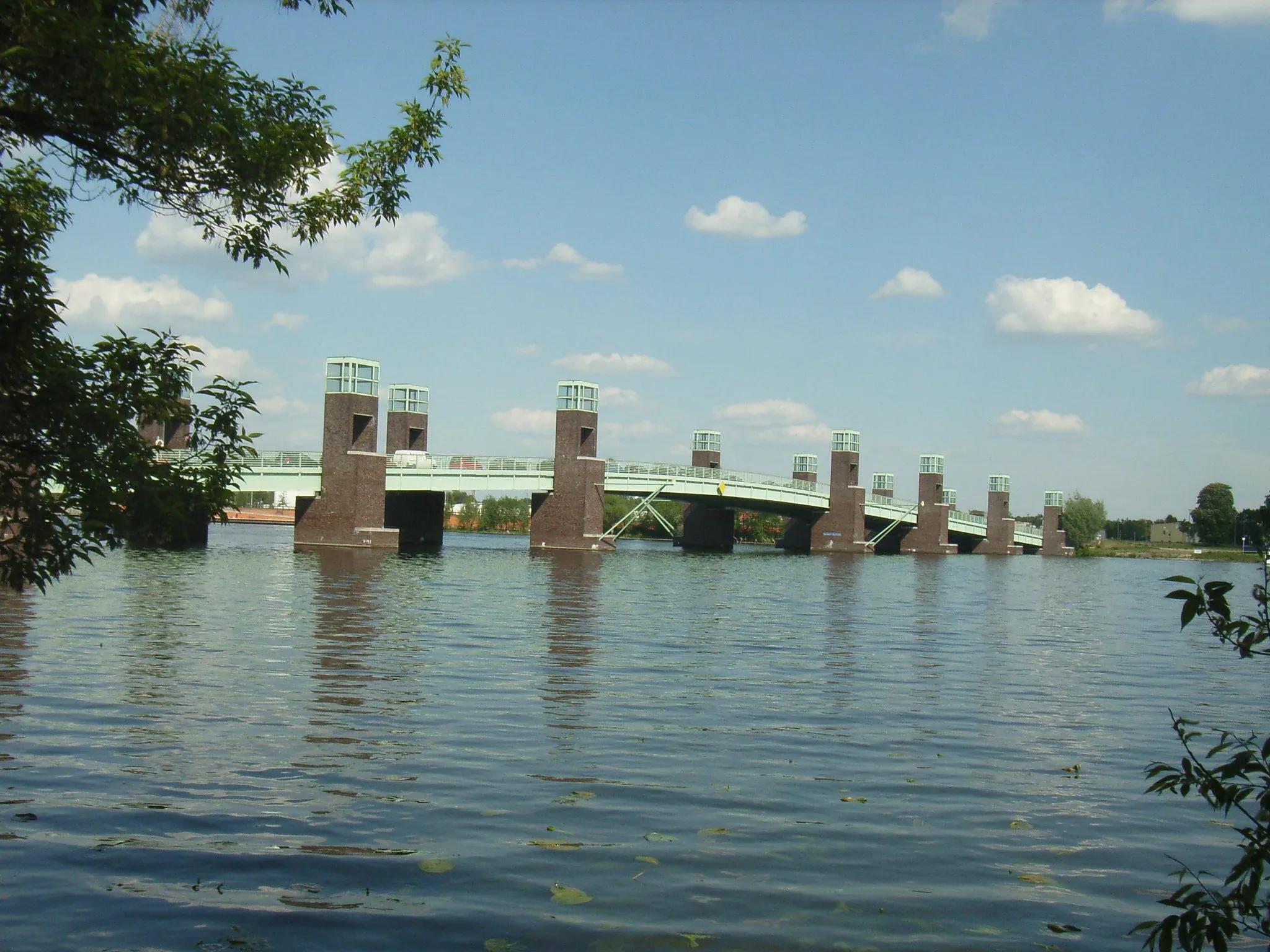
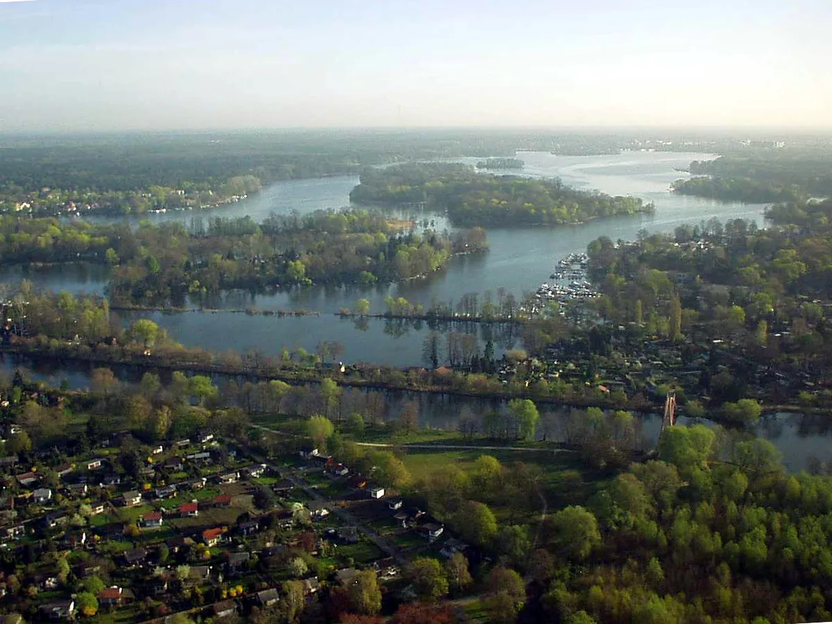
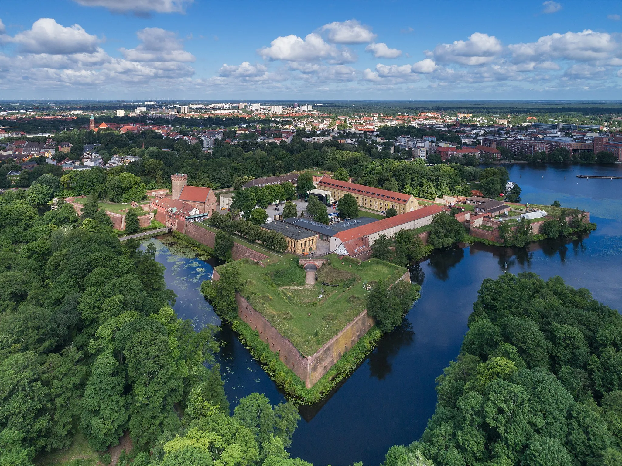
Start: Papenberge Village centerKonradshöhe: Tranquil cycling in Konradshöhe, Berlin
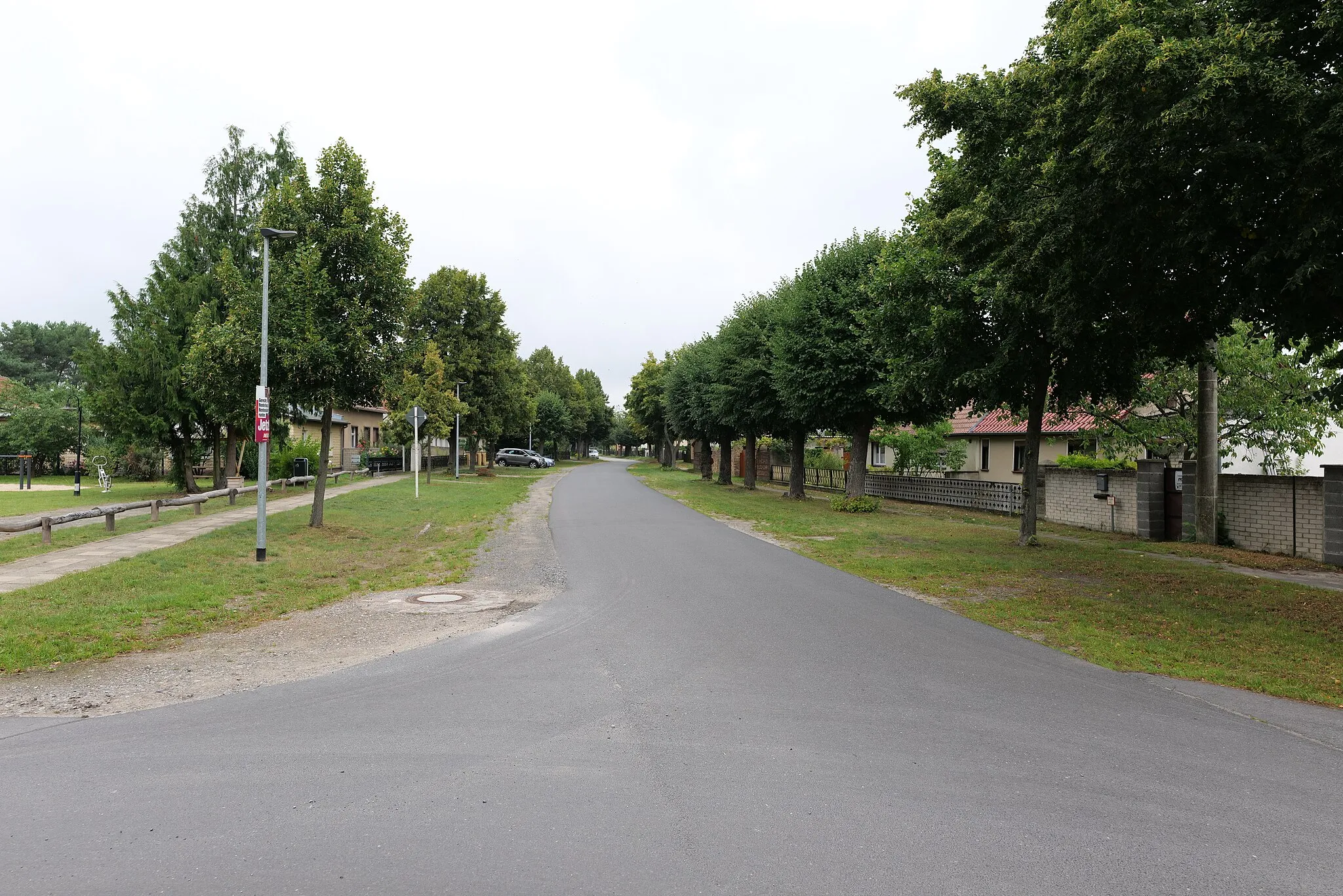
Konradshöhe is a locality in Berlin, Germany that offers a peaceful cycling experience. The area is surrounded by water bodies and green spaces, providing a serene environment for cyclists. Cyclists in Konradshöhe can enjoy riding along the Havel river or explore the picturesque Tegeler Forst nearby. Another popular cycling spot is Tegeler See, a large lake offering scenic views. Konradshöhe is a great destination for cyclists seeking tranquility and natural beauty.10 km
10 km
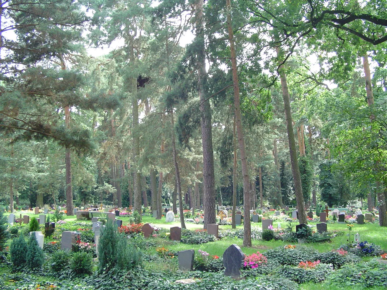
Mathiasberg50 mPeakVisit Mathiasberg, a small hill known for its panoramic views of the city
12 km
12 km
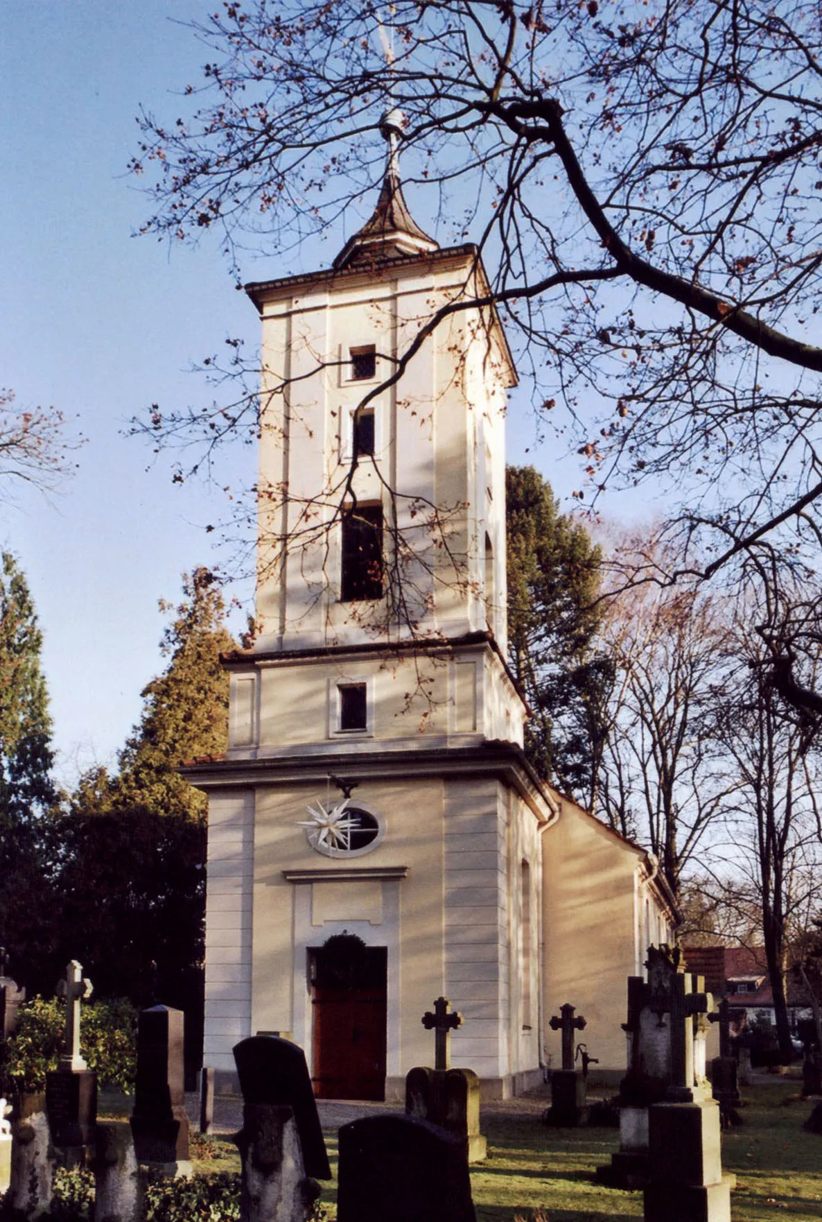
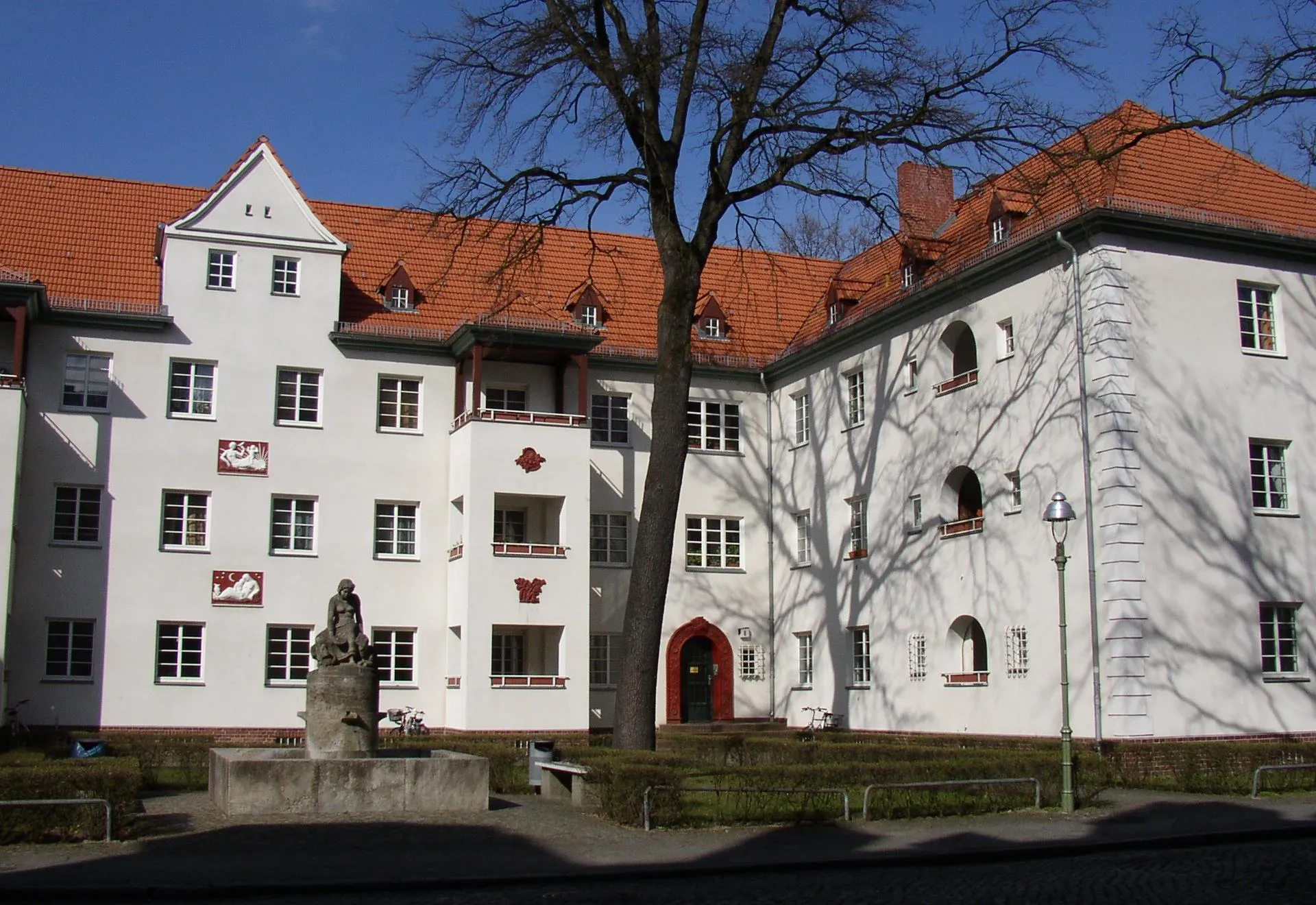
VeltenTownIn Velten, explore the historical town center and picturesque market square
25 km
25 km
SachsenhausenSub-urbPass through the charming village of Sachsenhausen with its traditional half-timbered houses
39 km
39 km
MalzSub-urbDiscover Malz, a town famous for its old windmill and idyllic setting
62 km
62 km
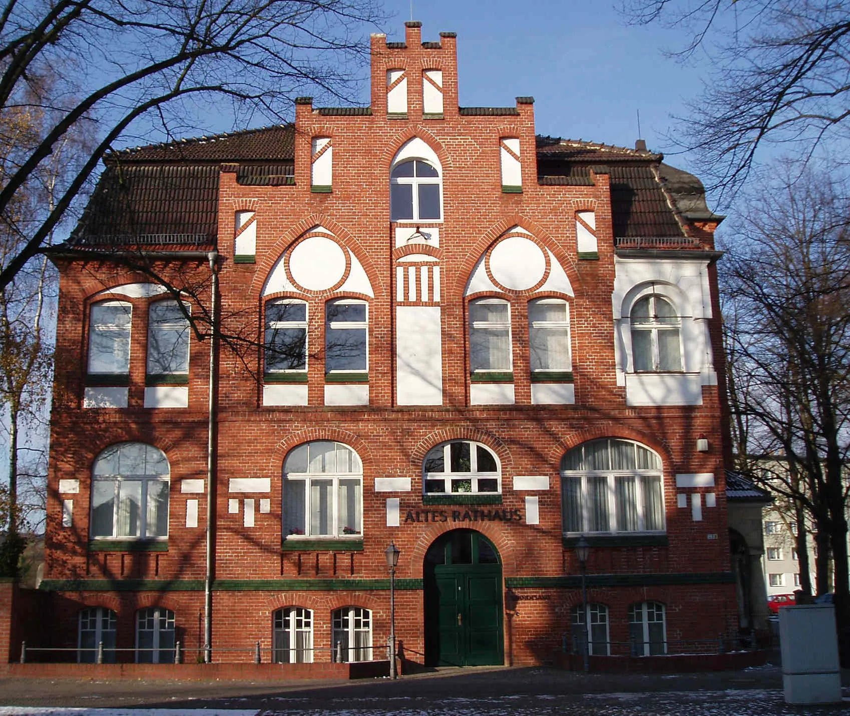
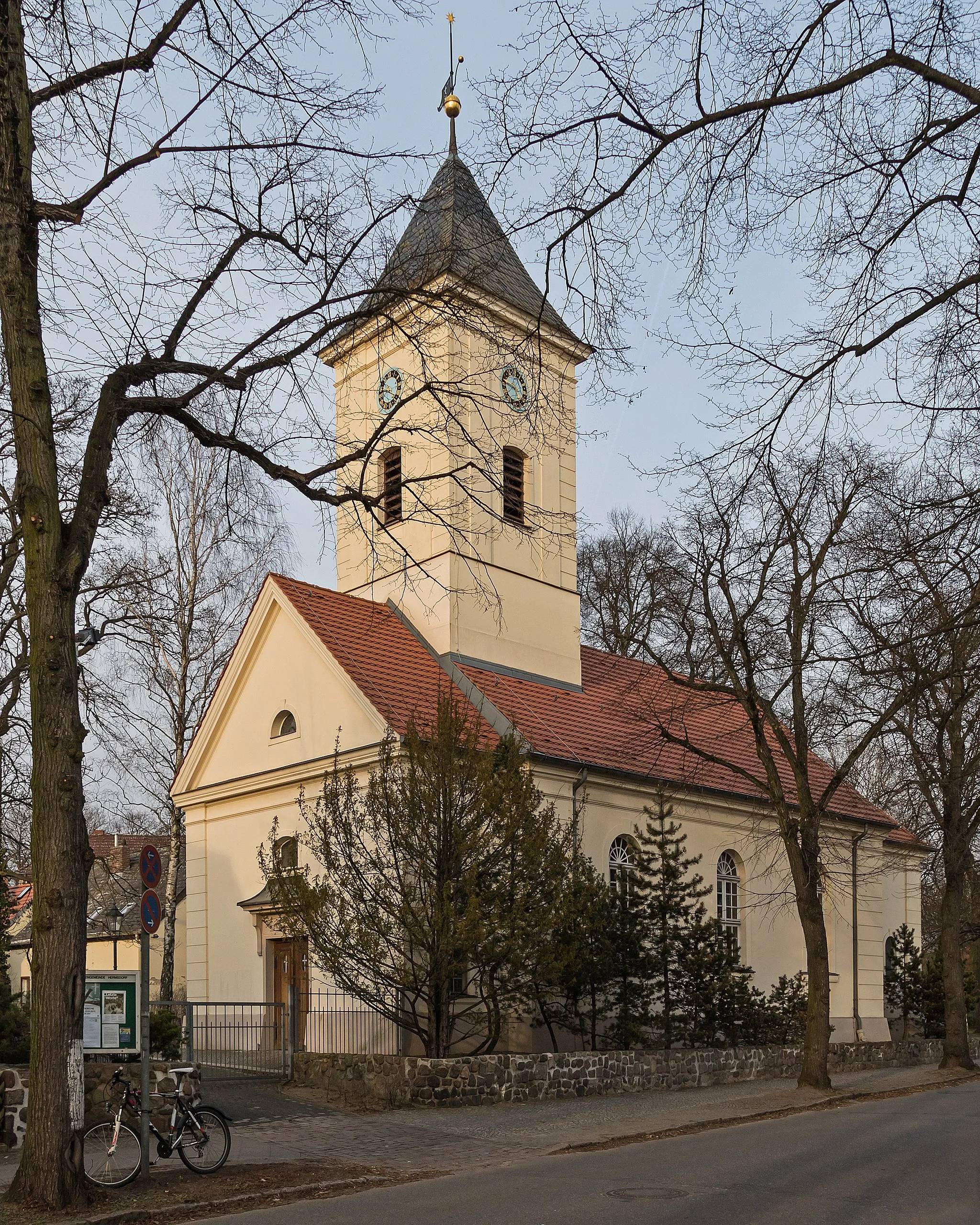
SchönfließVillageSchönfließ is a must-visit, with its beautiful castle and peaceful surroundings
75 km
75 km
HennigsdorfTownStop by Hennigsdorf and explore the historic shipyard and waterfront area
80 km
80 km
Finish: Papenberge Village centerKonradshöhe: Tranquil cycling in Konradshöhe, Berlin
Cycling routes from Konradshoehe:
Cycling routes nearby: