The Müggelheim and Beyond Gravel Adventure
A gravel cycling route starting from Muggelheim
Explore the countryside near Müggelheim on this scenic gravel route
Map
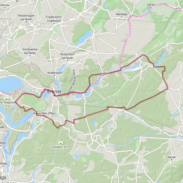
Embark on a picturesque gravel cycling adventure that takes you through the beautiful countryside surrounding Müggelheim. This route offers a challenging ascent of 203 meters over a distance of 65 kilometers, providing a test for both endurance and skill. With highlights such as Kagel, Jänickendorf, Jägerbude, Gosen-Neu Zittau, and Seddinberg along the way, cyclists can experience the unique charm and beauty of these rural areas.
gravel
65 km
203 m
Tough
Route profile
Highlights on the route
0 km
0 km
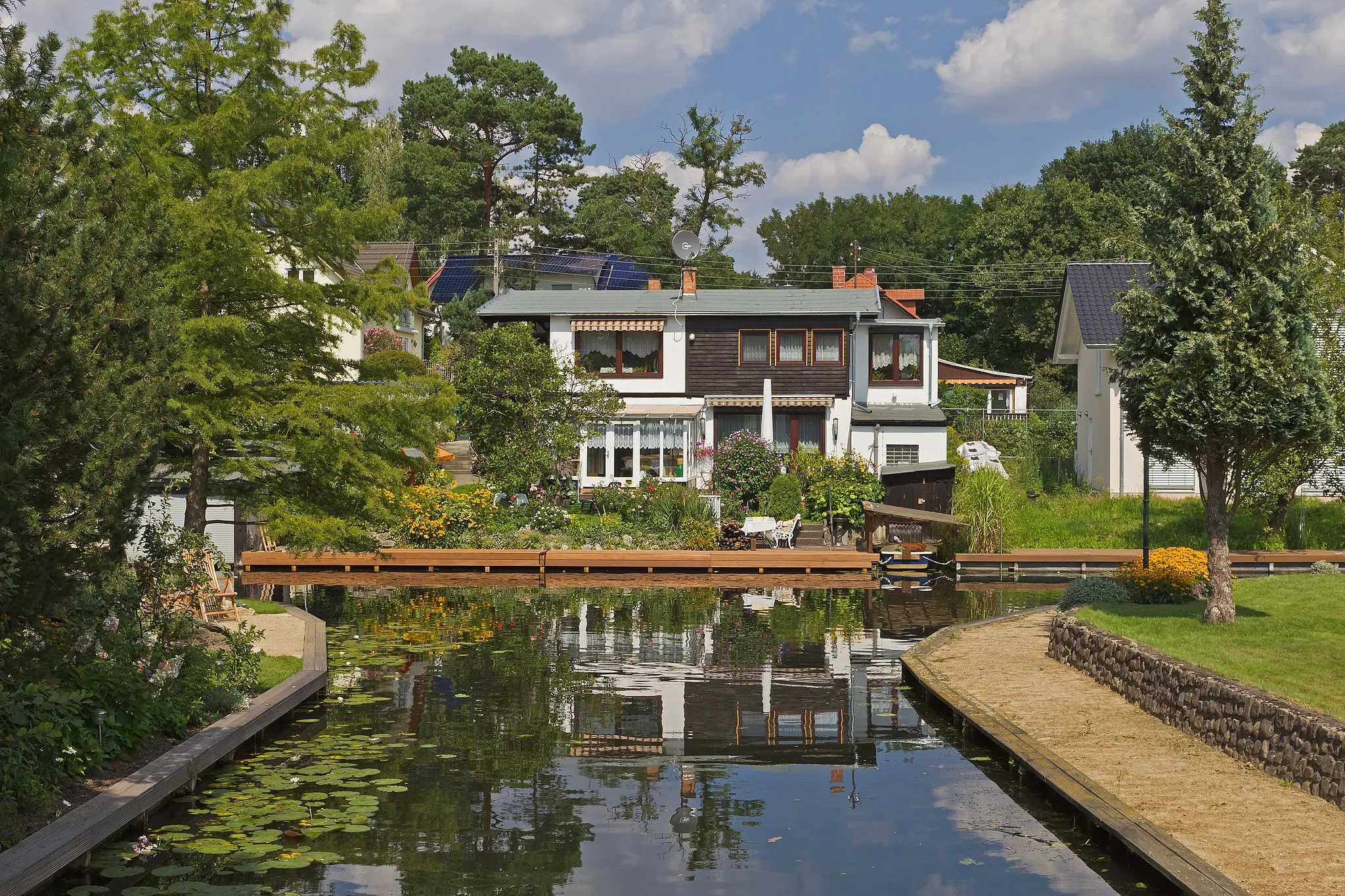
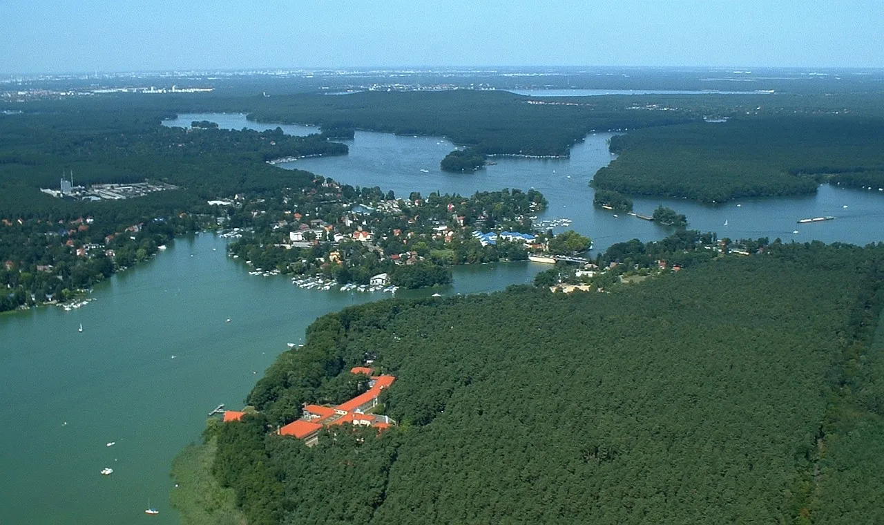
Start: Locality centerMüggelheim: Gravel Cycling by the Lake
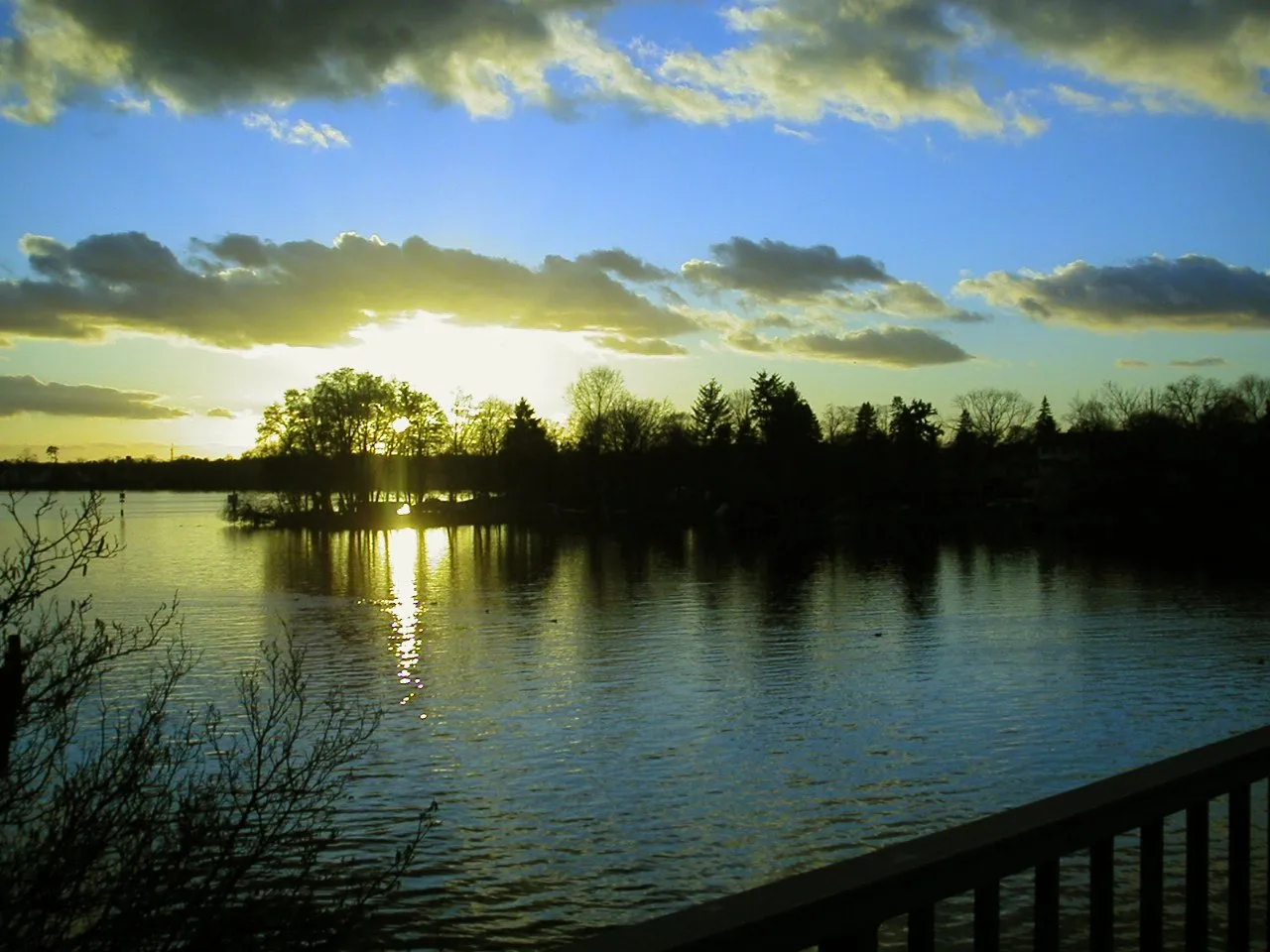
Müggelheim in Berlin, Germany is a popular destination for gravel cyclists. The town is situated near Müggelsee, the largest lake in Berlin, offering scenic routes along its shores. The area also features a network of gravel paths through forests and meadows, providing ample opportunities for off-road adventures. With its beautiful natural surroundings and varied terrain, Müggelheim is a haven for gravel cyclists looking to explore the outskirts of Berlin.0 km
0 km
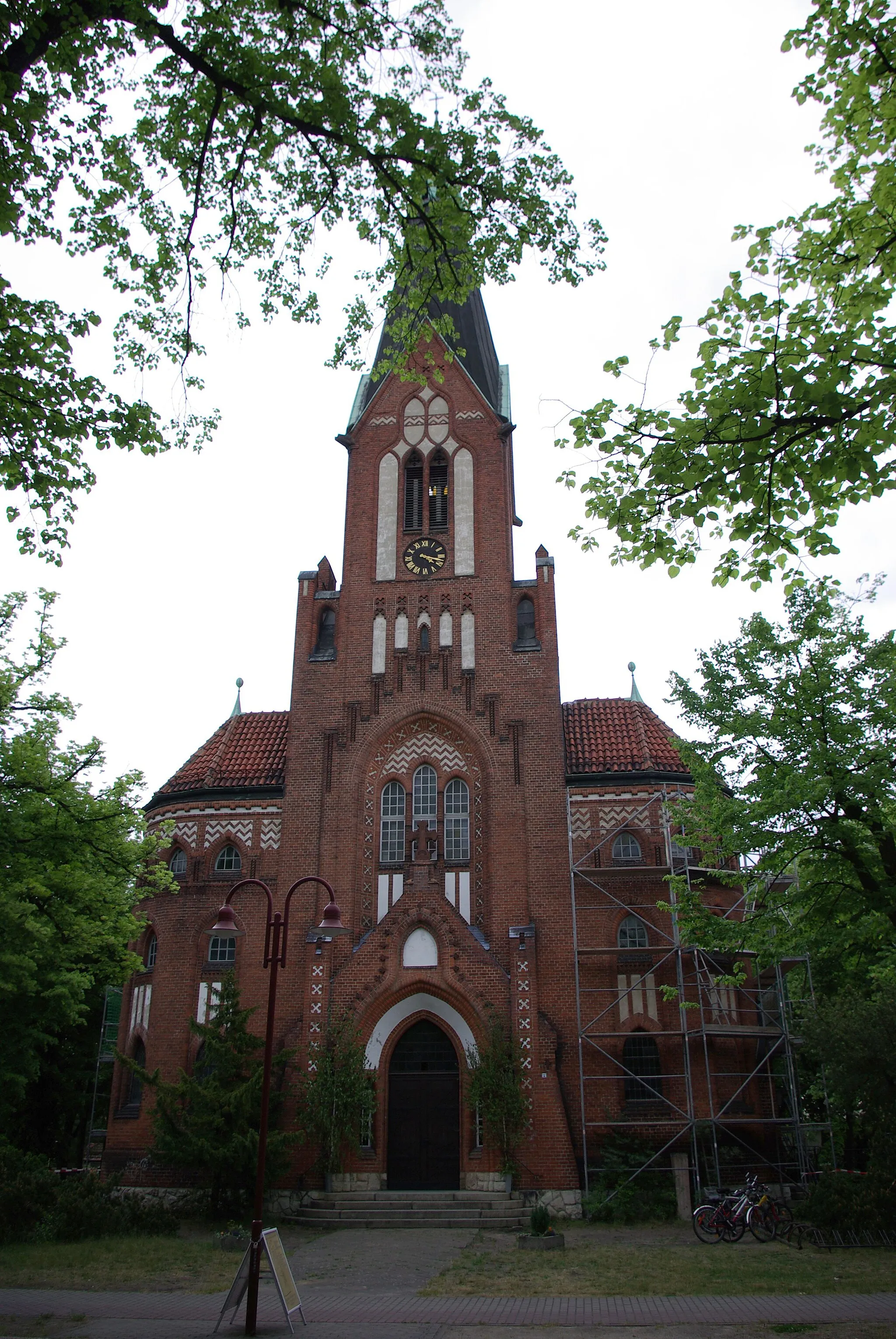
MüggelheimSub-urbPass through the idyllic village of Müggelheim, known for its stunning lakeside views and serene atmosphere.
22 km
22 km
KagelSub-urbVisit Kagel, a small village surrounded by lush forests and rolling hills, offering a peaceful and picturesque setting.
34 km
34 km
JänickendorfVillageExplore Jänickendorf, a charming hamlet known for its quaint architecture and friendly locals.
54 km
54 km
JägerbudeHamletStop by Jägerbude, a rustic hunting lodge that serves as a popular meeting point for local outdoor enthusiasts.
59 km
59 km
Gosen-Neu ZittauVillagePass through Gosen-Neu Zittau, a picturesque village with a rich history and scenic landscapes.
64 km
64 km
Seddinberg63 mPeakSeddinberg offers stunning views of the surrounding countryside, making it a great spot to take a break and admire the scenery.
65 km
65 km
Finish: Locality centerMüggelheim: Gravel Cycling by the Lake
Cycling routes from Muggelheim:
The Grand Road Tour of Müggelheim and Beyond Discover the Charm of Müggelheim on Two Wheels The Enchanting Gravel Route Exploring Müggelturm and Schonungsberg Road Cycling Tour around Müggelheim The Müggelheim and Beyond Gravel Adventure Epic Adventure: Conquer the Challenges around Müggelheim The Scenic Gravel Route of Müggelheim and Schonungsberg Gravel Adventure in Müggelheim and Surroundings The Adventurous Gravel Route Through Springeberg and Gosen The Tranquil Road Cycling Route from Müggelheim to Seddinberg
Cycling routes nearby: