The Rudow Loop
A road cycling route starting from Rudow
Experience the beauty of Rudow and its surrounding areas on this scenic cycling route.
Map
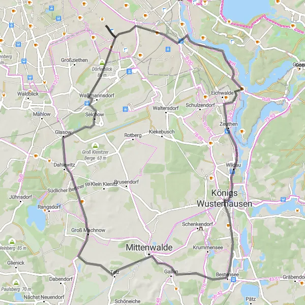
The Rudow Loop is a picturesque cycling route that takes you through the charming town of Rudow and its beautiful surroundings. With a distance of 68 kilometers and an ascent of 110 meters, this road route is perfect for intermediate cyclists. The route features several highlights, including the Rudower Höhe, a hill with stunning panoramic views, and Königs Wusterhausen, a historic town known for its charming architecture.
road
68 km
110 m
Tough
Route profile
Highlights on the route
0 km
0 km
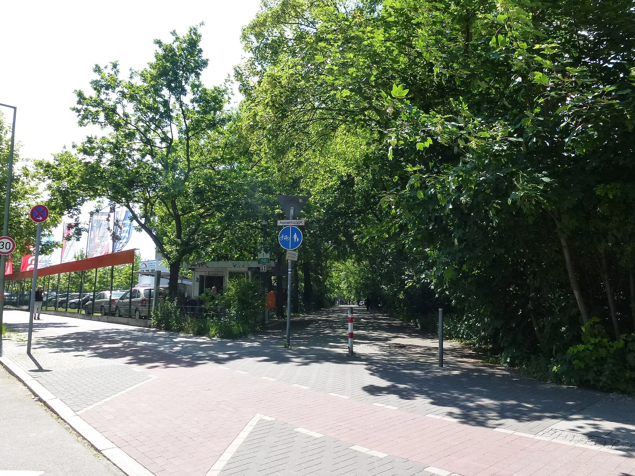
Start: Locality centerRudow: Enjoy leisurely rides and explore Berlin's vibrant streets in Rudow.
Rudow, located in Berlin, Germany, is a cyclist-friendly locality that offers a diverse range of cycling routes. The locality has a well-established cycling infrastructure, including bike lanes and paths, making it safe and convenient for riders. Rudow is surrounded by beautiful parks and green spaces, providing a refreshing and scenic cycling experience. While it may not have any famous cycling spots or challenging climbs nearby, Rudow is an excellent destination for leisurely rides and exploring the vibrant city of Berlin.2 km
2 km
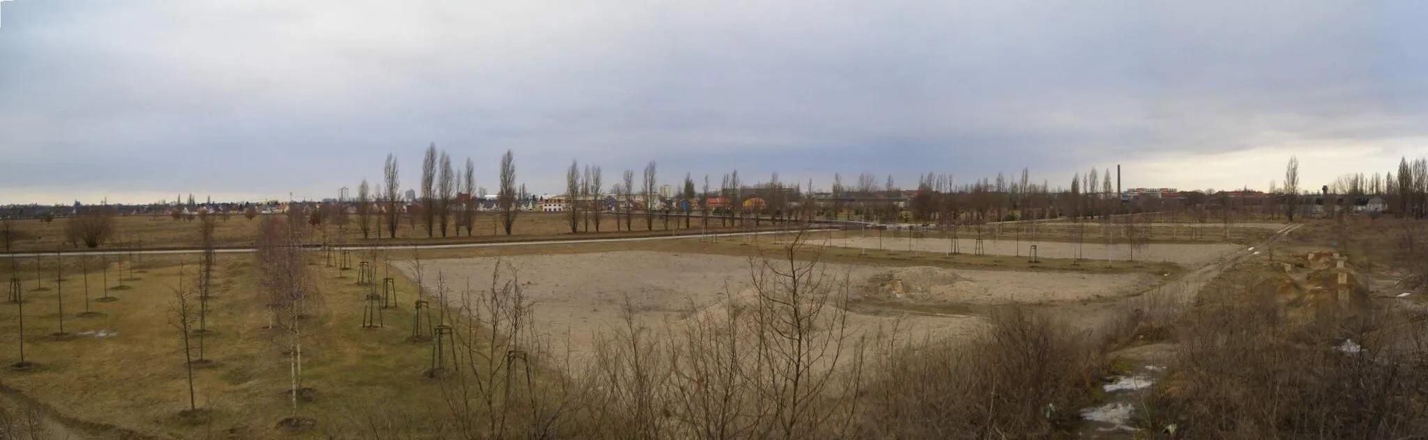
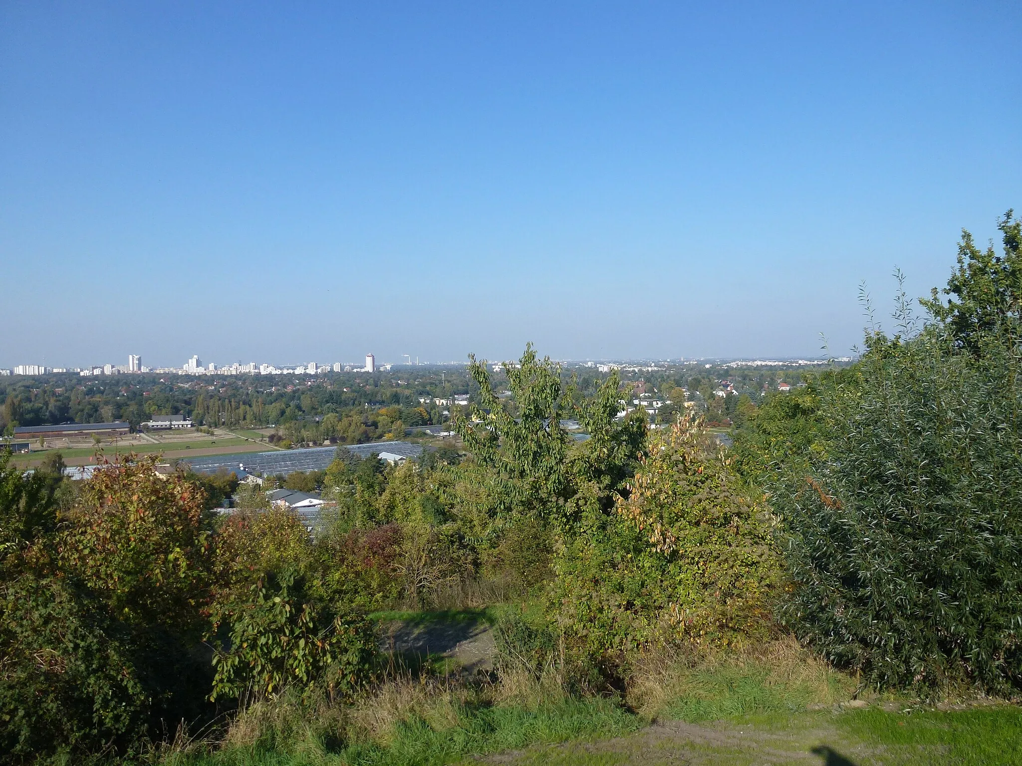
Rudower Höhe70 mPeakLocated at 2 kilometers into the route, the Rudower Höhe offers breathtaking views of the surrounding countryside.
12 km
12 km
KarolinenhofHamletAt 12 kilometers into the route, Karolinenhof is a great spot to take a break and enjoy some refreshments.
25 km
25 km
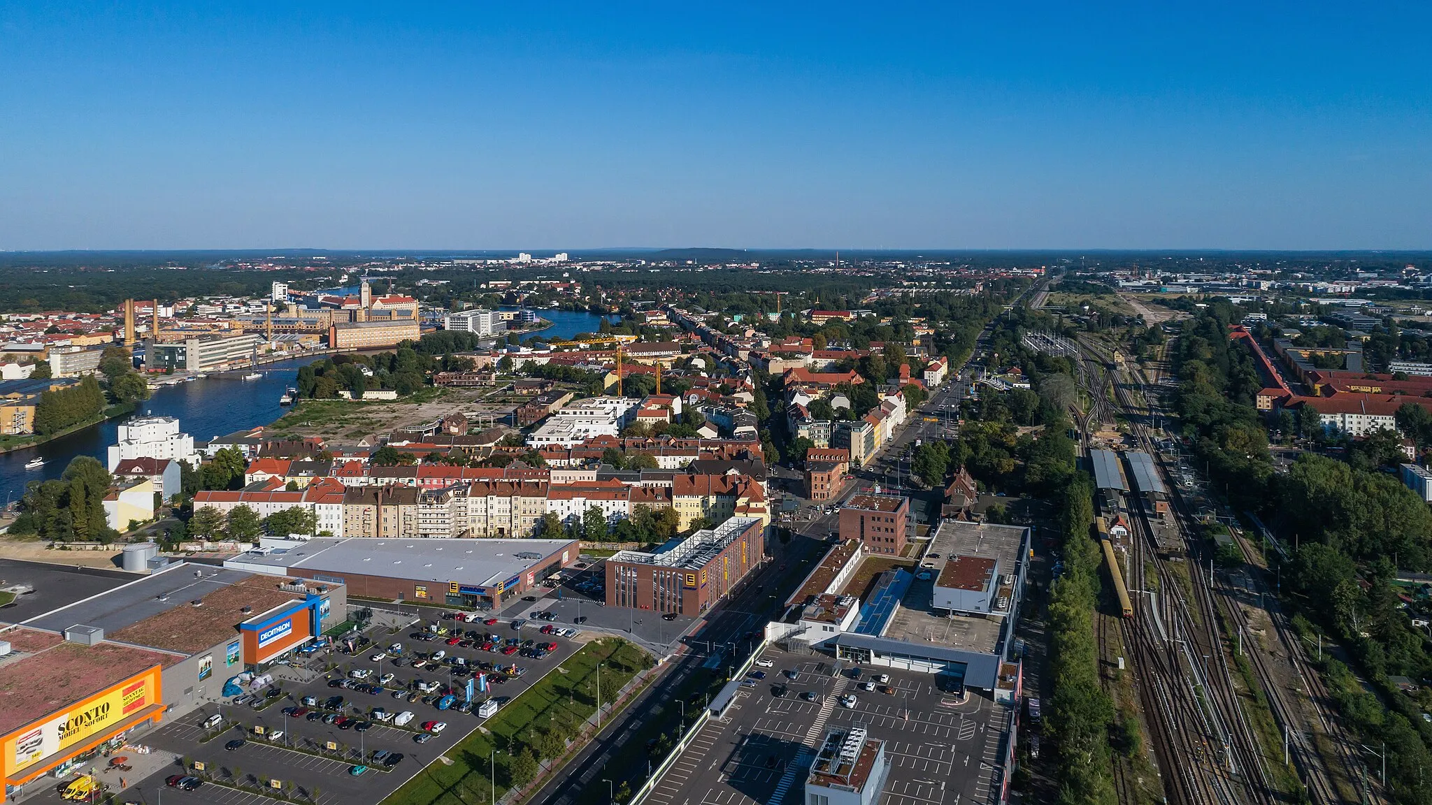
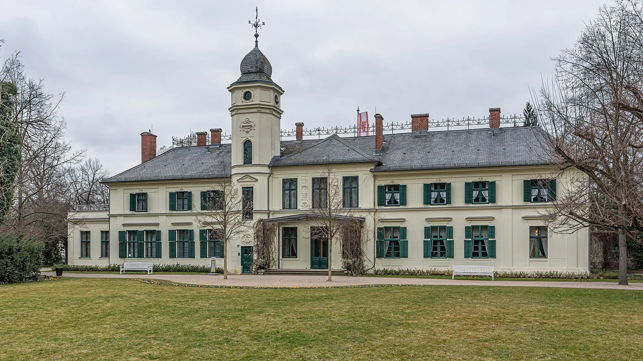
Königs WusterhausenTownKönigs Wusterhausen, at 25 kilometers into the route, is a charming town with beautiful architecture.
25 km
25 km
Funkerberg67 mPeak31 km
31 km
Groß BestenHamlet40 km
40 km
Pennigsberg37 mPeakLocated at 40 kilometers into the route, Pennigsberg is a hill that offers a challenging climb.
49 km
49 km
Galgenberg58 mPeakGalgenberg, at 49 kilometers into the route, is a scenic spot with beautiful views.
59 km
59 km
SelchowVillageAt 59 kilometers into the route, Selchow is a small village known for its peaceful atmosphere.
64 km
64 km
Dörferblick86 mPeakDörferblick, at 64 kilometers into the route, offers panoramic views of the nearby countryside.
66 km
66 km
RudowSub-urbRudow, at 66 kilometers into the route, is a charming town with a rich history.
68 km
68 km
Finish: Locality centerRudow: Enjoy leisurely rides and explore Berlin's vibrant streets in Rudow.
Cycling routes from Rudow:
Cycling routes nearby: