Gravel Adventure
A gravel cycling route starting from Bad Sachsa
Embark on an exhilarating gravel cycling adventure through the diverse landscapes near Bad Sachsa.
Map

For gravel cyclists seeking an adrenaline-pumping adventure, the Gravel Adventure route near Bad Sachsa is a dream come true. With an ascent of 1857 meters spread across 77 kilometers, this route challenges even the most experienced riders. It takes you through varied terrains, from rugged forests to open fields, offering a thrilling experience amidst nature. Highlights include the iconic Ritterstein monument and the majestic Stöberhai summit. Overall, this route promises excitement, scenic beauty, and a test of endurance for gravel enthusiasts.
gravel
77 km
1857 m
Tough
Route profile
Highlights on the route
0 km
0 km
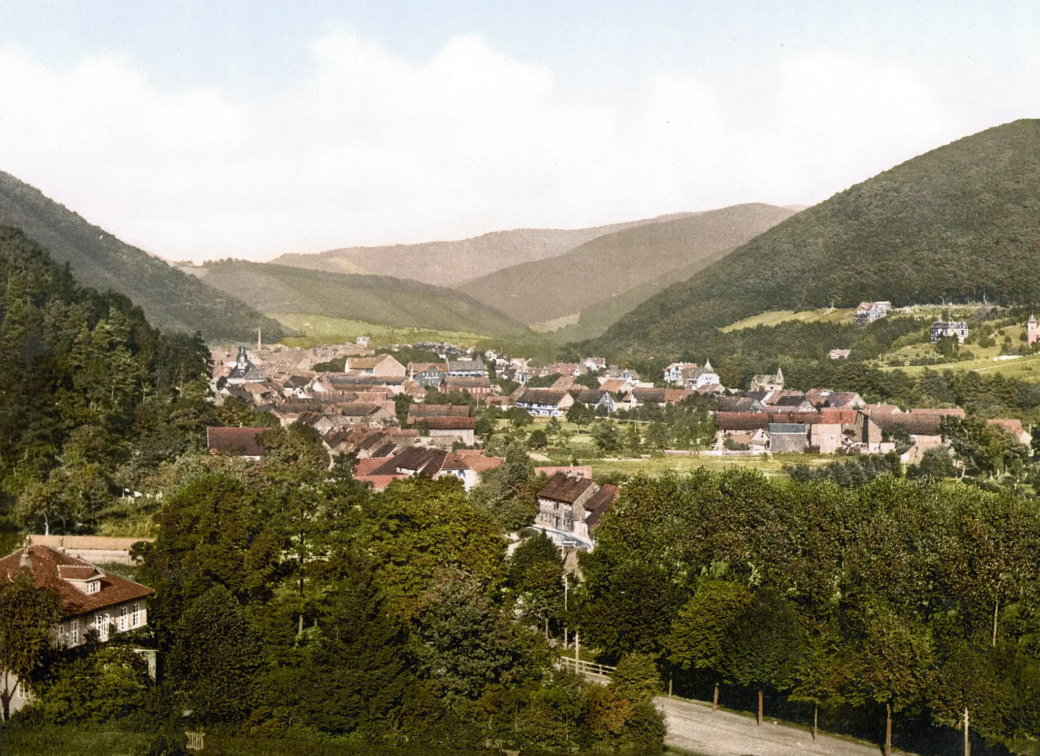
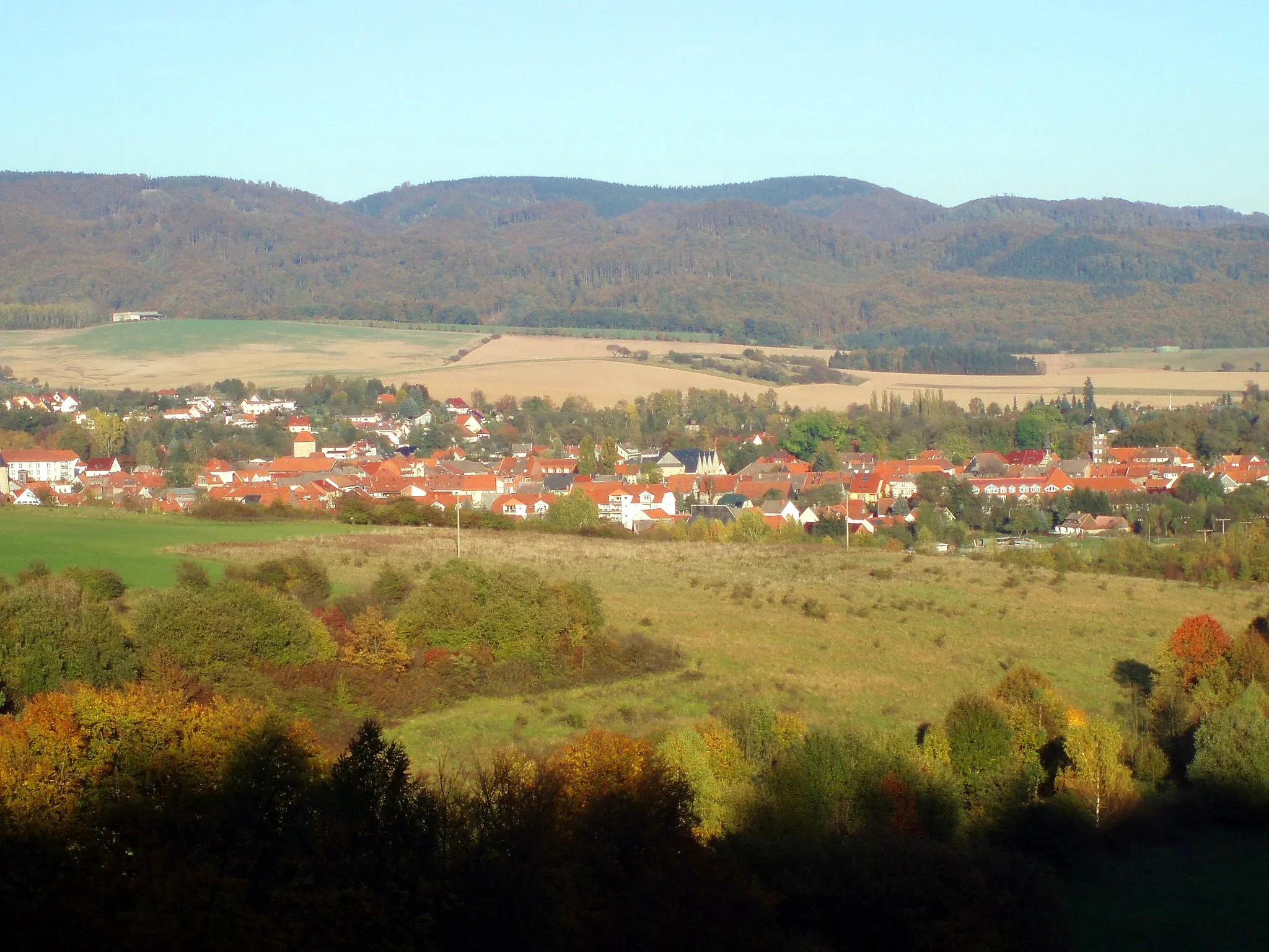
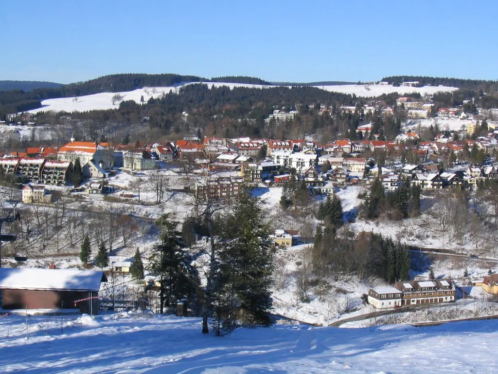
Start: Bad Sachsa City centerBad Sachsa: Nature Paradise for Cycling in Braunschweig
Bad Sachsa is a charming town situated in the Braunschweig region of Germany. As a cyclist, you will find Bad Sachsa to be a haven for nature lovers and cycling enthusiasts. The town is surrounded by picturesque forests and scenic landscapes, offering an array of cycling routes for all levels. One well-known cycling climb nearby is Ravensberg, which provides a challenging ascent and stunning views from the top. With its combination of natural beauty and thrilling cycling opportunities, Bad Sachsa is an excellent choice for road and gravel cyclists alike.0 km
0 km
Bad SachsaTownBad Sachsa, the starting point of the route, provides access to a network of exciting gravel paths.
16 km
16 km
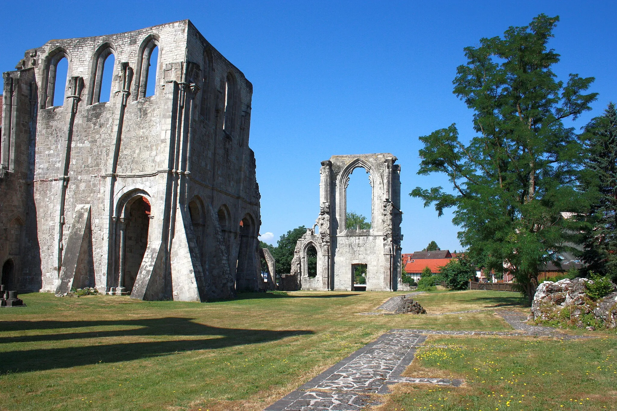
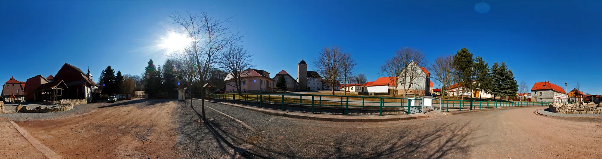
RittersteinViewpointThe Ritterstein, located along the route, offers a great spot to take a break and admire the surrounding landscapes.
29 km
29 km
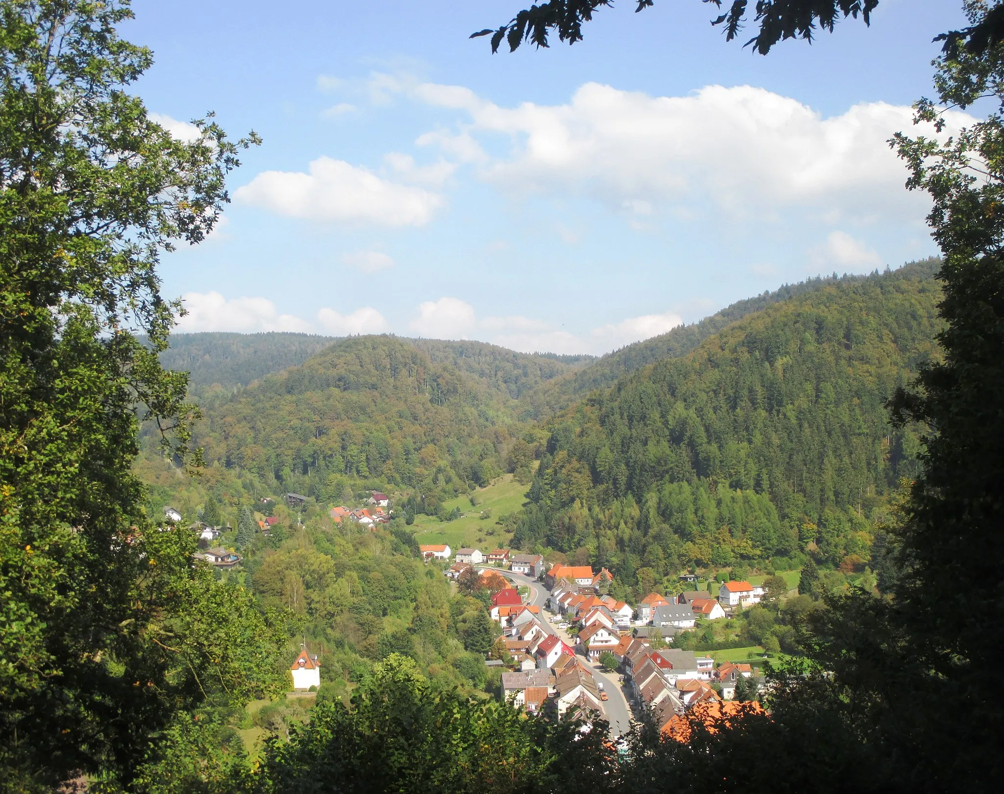
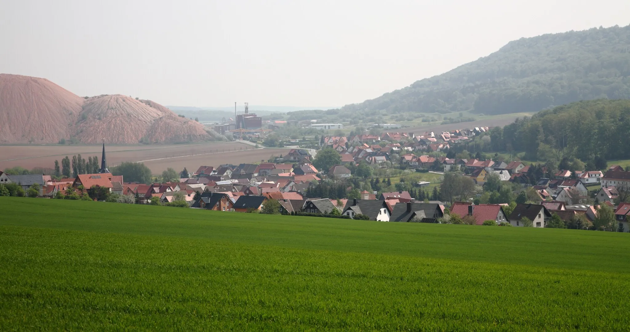
DünaVillageDüna is a picturesque village known for its quaint charm and a great scenic backdrop for gravel cycling.
41 km
41 km
Braakberg645 mPeakBraakberg is a stunning hill with panoramic views of the Harz region, perfect for gravel adventurers.
49 km
49 km
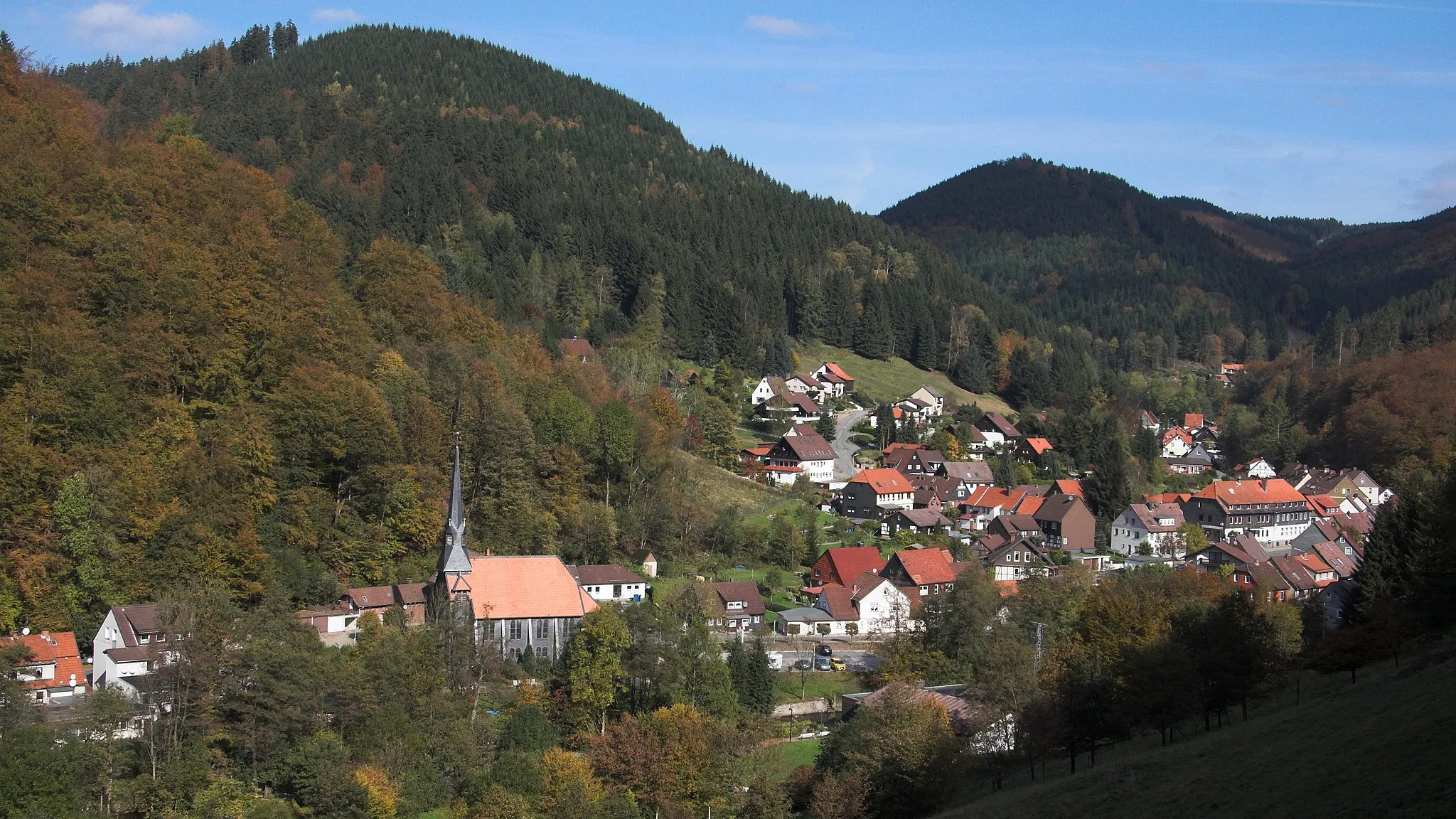
SieberVillageThe village of Sieber is situated in the heart of nature, providing a peaceful and idyllic setting for gravel cycling.
51 km
51 km
Breitentalskopf579 mPeakBreitentalskopf offers breathtaking vistas of surrounding forests and is a must-visit spot on this gravel adventure.
70 km
70 km
Stöberhai720 mPeakStöberhai, the highest point along the route, rewards riders with stunning views of the surrounding mountains and valleys.
77 km
77 km
Finish: Bad Sachsa City centerBad Sachsa: Nature Paradise for Cycling in Braunschweig
Cycling routes from Bad Sachsa:
Cycling routes nearby: