Harz Gravel Expedition
A gravel cycling route starting from Bad Sachsa
Embark on a gravel adventure through the rugged landscapes of the Harz region.
Map
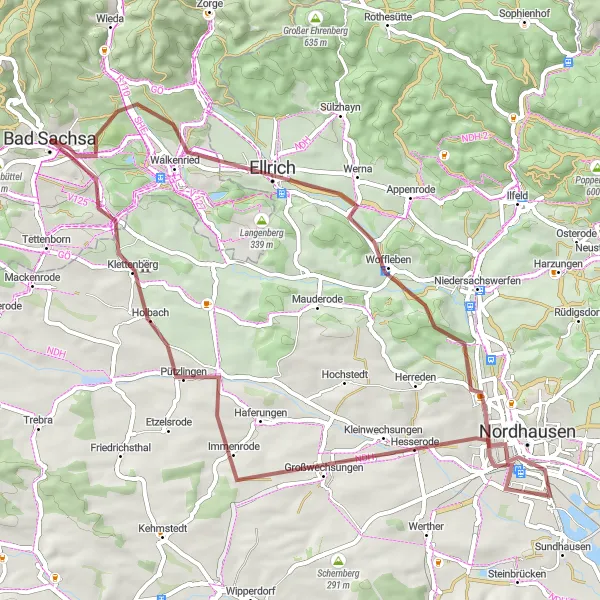
The Harz Gravel Expedition is a thrilling gravel cycling route that takes you through the rugged landscapes of the Harz region. With a distance of 58 kilometers and an ascent of 456 meters, this route offers a moderate challenge suitable for gravel enthusiasts. Along the way, you will pass through the charming town of Walkenried, known for its medieval monastery, and the Hexentanzplatz, a famous rock formation with mystical folklore. The route also includes highlights such as the Kohnstein, a historic mountain with fascinating mining history, and the picturesque town of Nordhausen. Overall, the Harz Gravel Expedition provides a unique and adventurous cycling experience in the beautiful Harz region.
gravel
58 km
456 m
Tough
Route profile
Highlights on the route
0 km
0 km
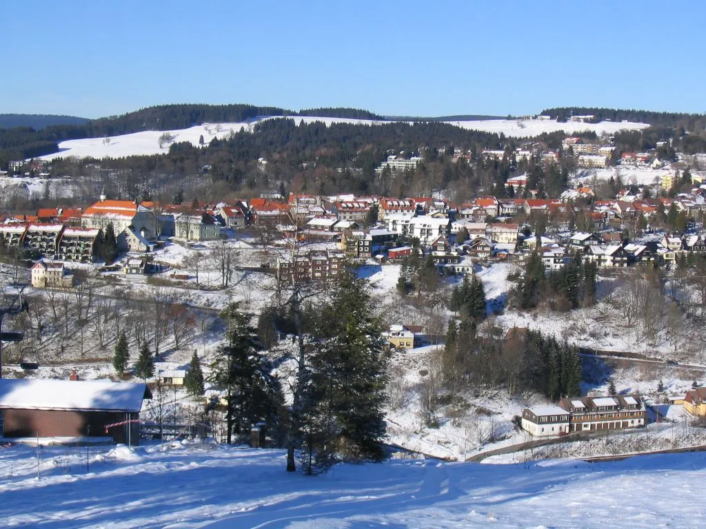
Start: Bad Sachsa City centerBad Sachsa: Nature Paradise for Cycling in Braunschweig
Bad Sachsa is a charming town situated in the Braunschweig region of Germany. As a cyclist, you will find Bad Sachsa to be a haven for nature lovers and cycling enthusiasts. The town is surrounded by picturesque forests and scenic landscapes, offering an array of cycling routes for all levels. One well-known cycling climb nearby is Ravensberg, which provides a challenging ascent and stunning views from the top. With its combination of natural beauty and thrilling cycling opportunities, Bad Sachsa is an excellent choice for road and gravel cyclists alike.7 km
7 km
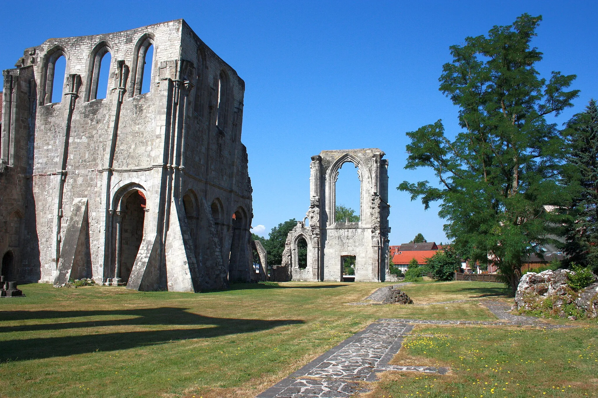
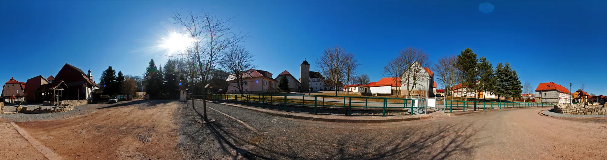
WalkenriedVillageWalkenried is a historical town that is home to a famous medieval monastery.
9 km
9 km
HexentanzplatzViewpointThe Hexentanzplatz is a peculiar rock formation with a mystical folklore surrounding it.
19 km
19 km
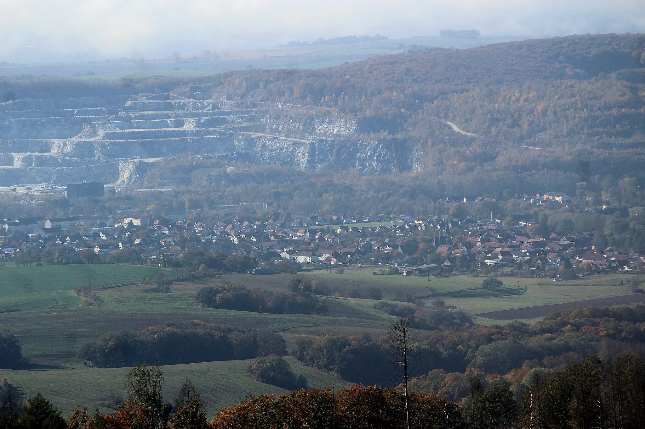
Kohnstein334 mPeakKohnstein is a historic mountain known for its fascinating mining history.
26 km
26 km
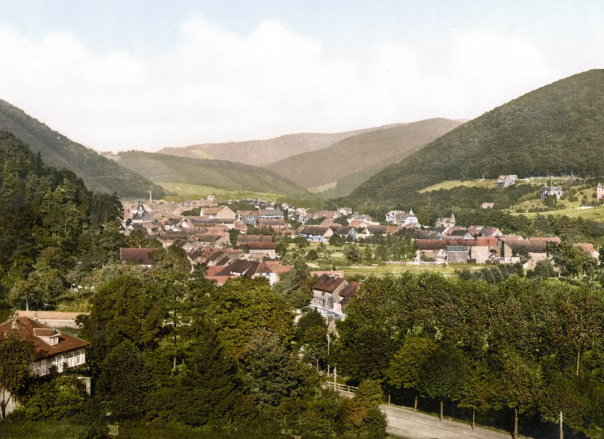
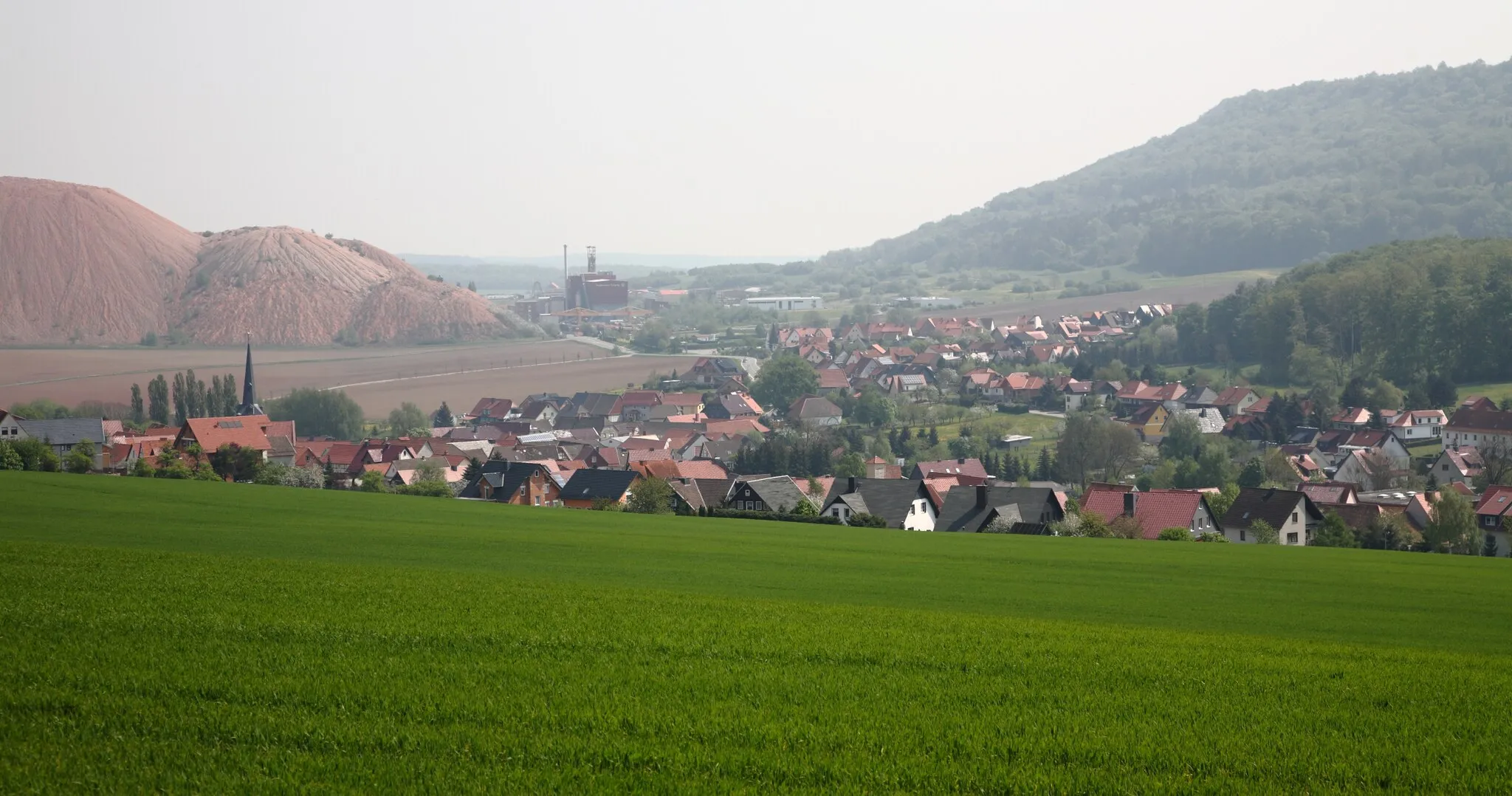
NordhausenTownNordhausen is a picturesque town with charming half-timbered houses and a rich cultural heritage.
36 km
36 km
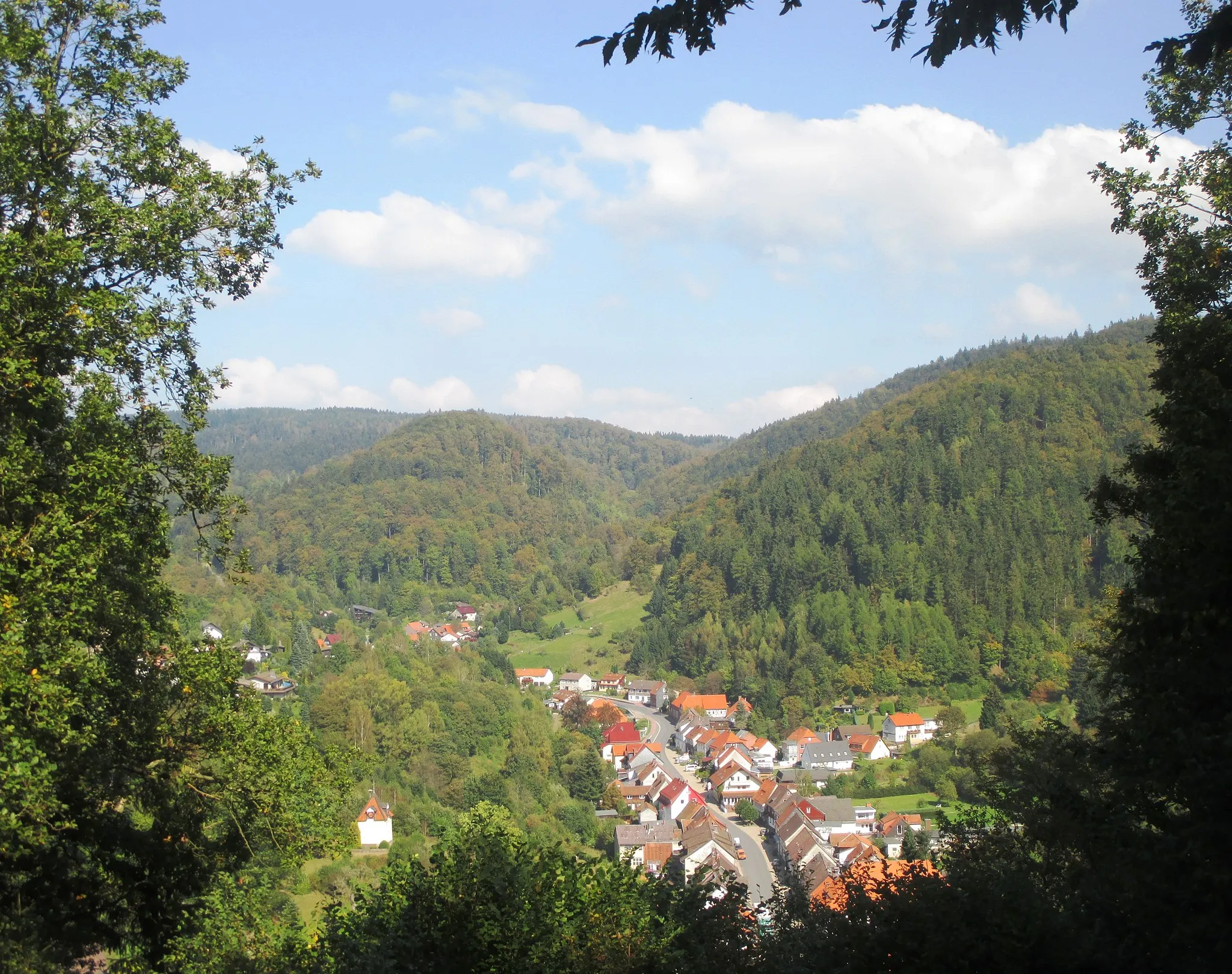
HesserodeVillageHesserode is a small village situated in a scenic valley, surrounded by forests and hills.
40 km
40 km
Haferunger Berg228 mPeakHaferunger Berg is a challenging gravel climb that offers stunning views of the surrounding countryside.
50 km
50 km
Mühlberg245 mPeakMühlberg is a tranquil village located in a beautiful natural setting.
52 km
52 km
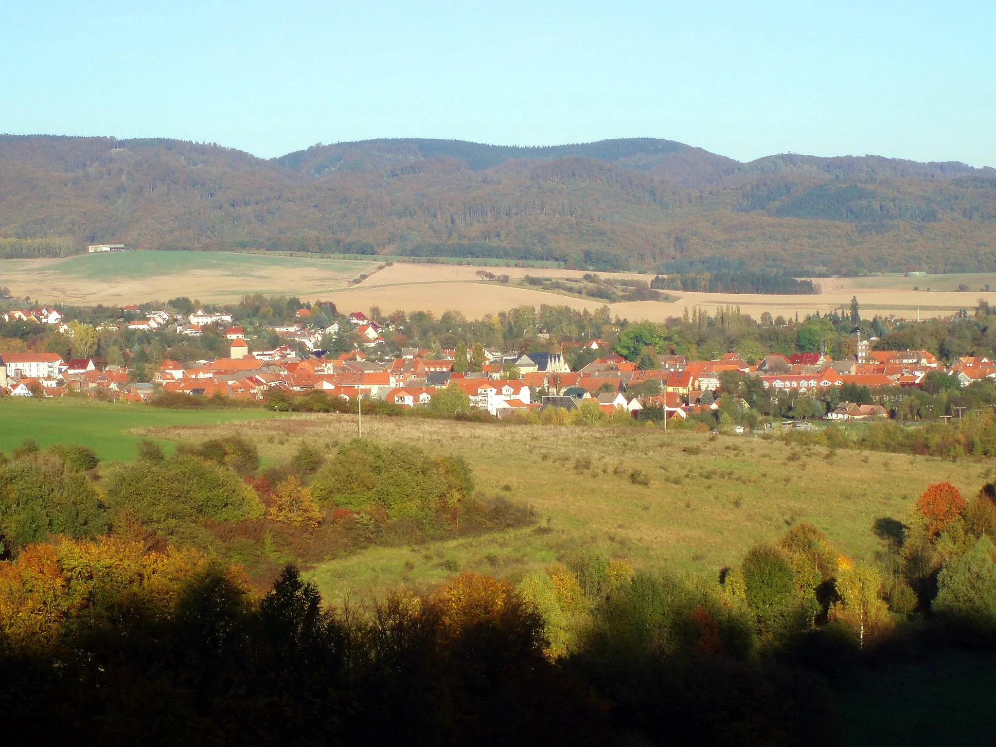
KlettenbergVillageKlettenberg is a quaint village with charming traditional houses and a peaceful atmosphere.
58 km
58 km
Finish: Bad Sachsa City centerBad Sachsa: Nature Paradise for Cycling in Braunschweig
Cycling routes from Bad Sachsa:
Cycling routes nearby: