Gravel Adventure in the Harz
A gravel cycling route starting from Walkenried
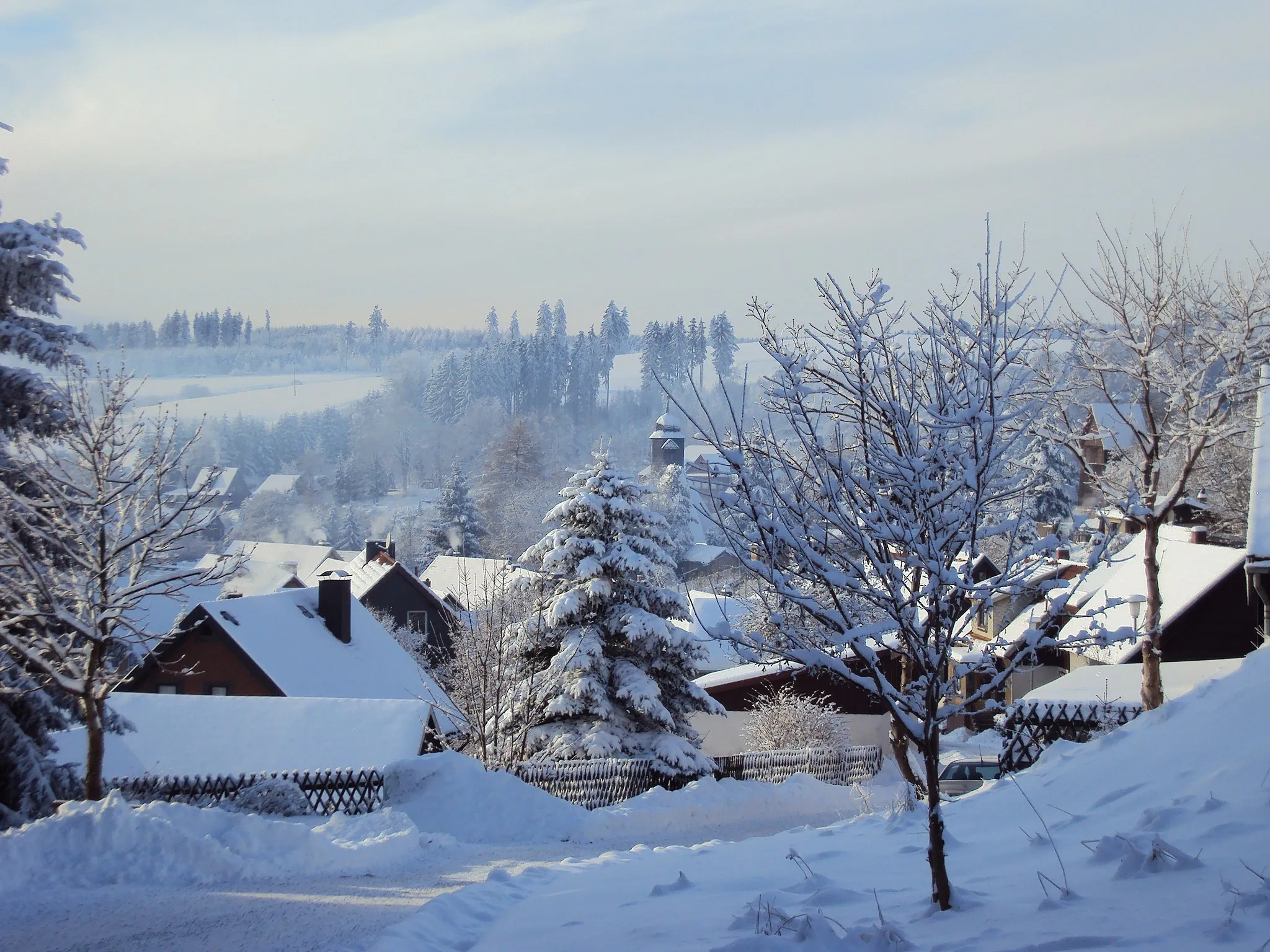
Embark on an epic gravel adventure through the captivating landscapes of the Harz region.
Map
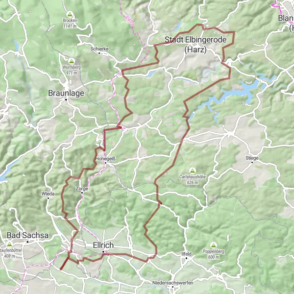
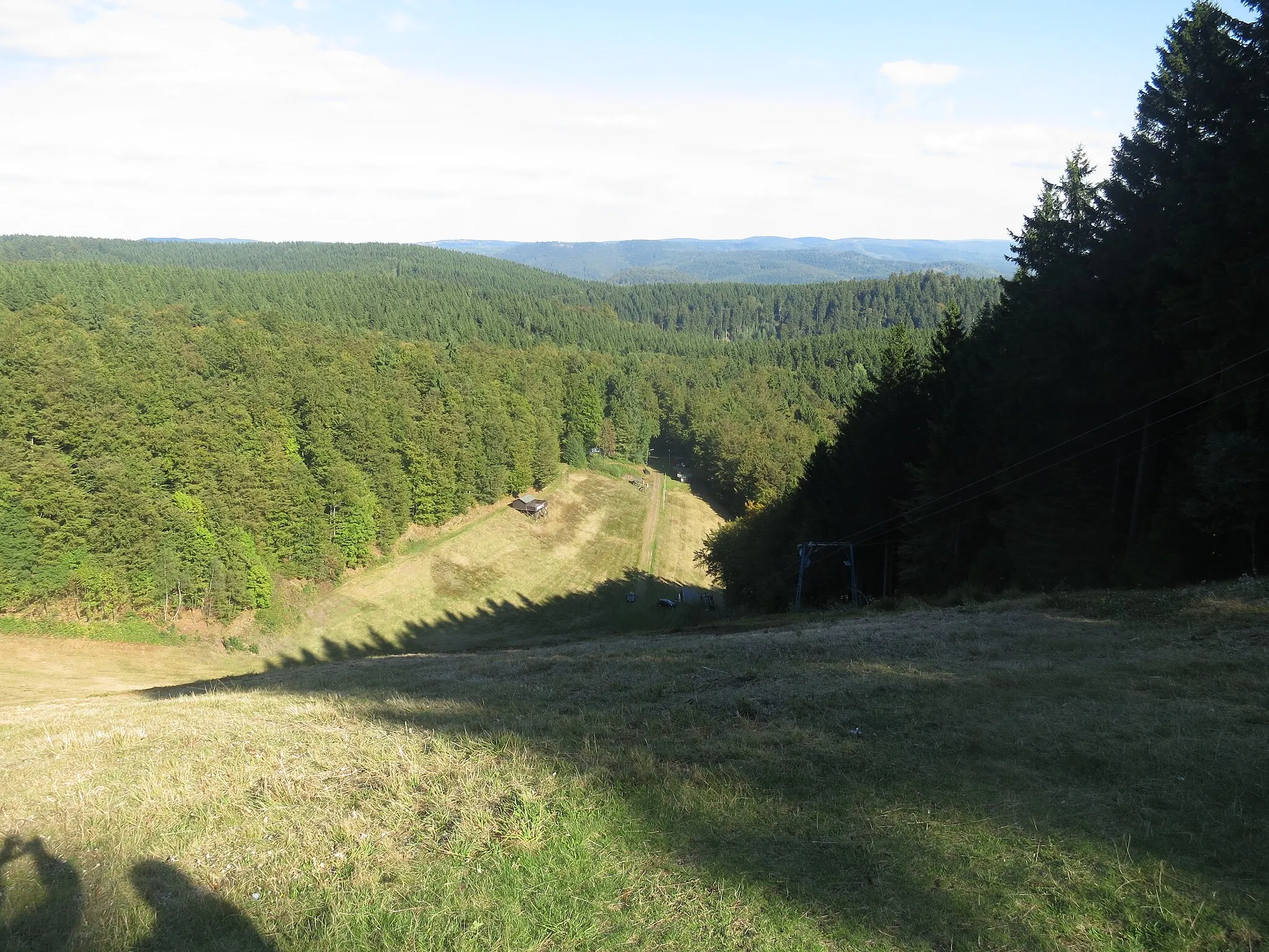
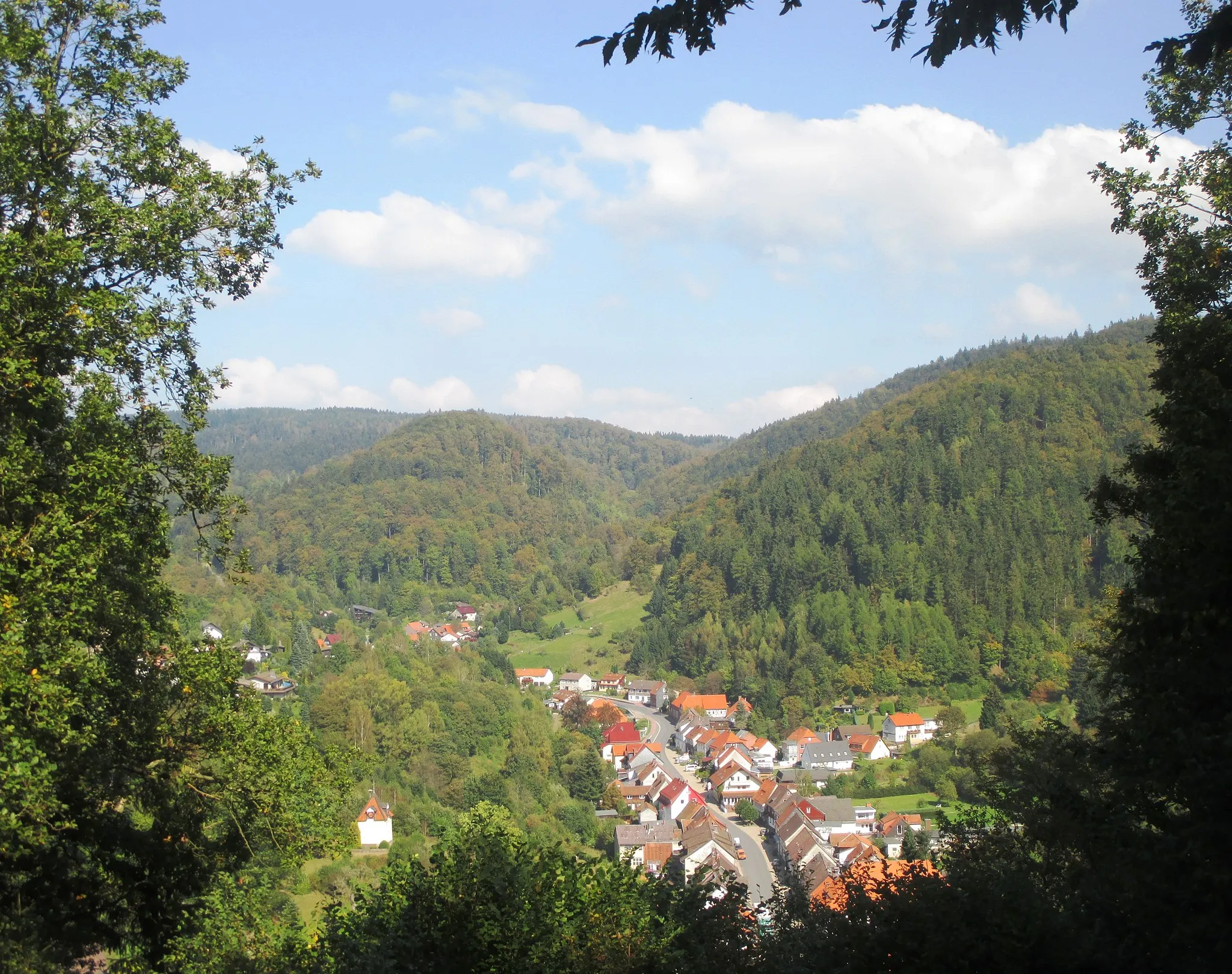
This 93 km gravel adventure near Walkenried takes you deep into the rugged and beautiful Harz Mountains. With an ascent of 1795 m, this challenging route is perfect for experienced gravel riders seeking excitement and stunning natural surroundings. Along the way, discover unique historical landmarks, spectacular viewpoints, and sections of untouched wilderness.
gravel
93 km
1795 m
Savage
Route profile
Highlights on the route
0 km
0 km
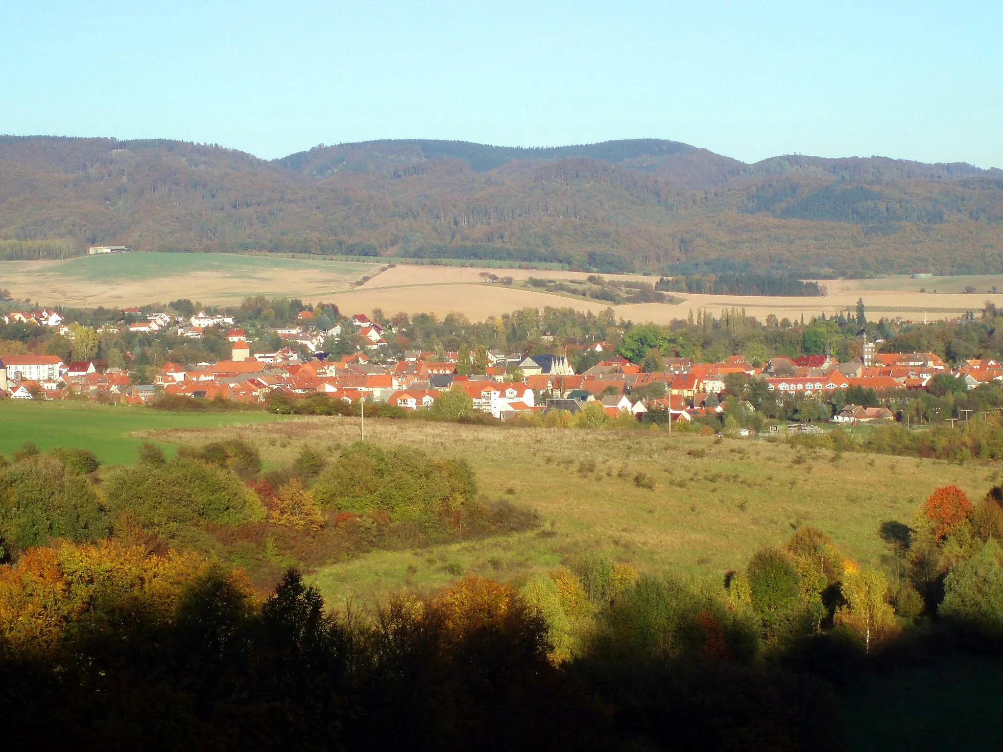
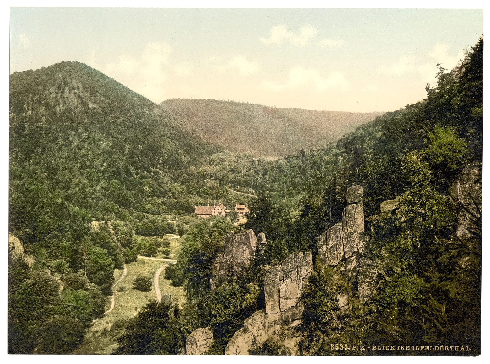
Start: Branderode Village centerWalkenried: Historical charm and scenic cycling in Walkenried.
Walkenried in Braunschweig, Germany, offers a suitable cycling experience for road and gravel cyclists. The locality provides well-maintained roads and decent cycling routes for riders of all levels. One notable cycling spot nearby is the climb to Brocken, known for its beautiful views and challenging terrain. Walkenried is also close to several historical attractions, such as the Walkenried Abbey, making it a great destination for both cycling and tourism.0 km
0 km
Weinberg310 mPeakEnjoy breathtaking views from the top of Weinberg, offering a panorama of the majestic Harz Mountains.
3 km
3 km
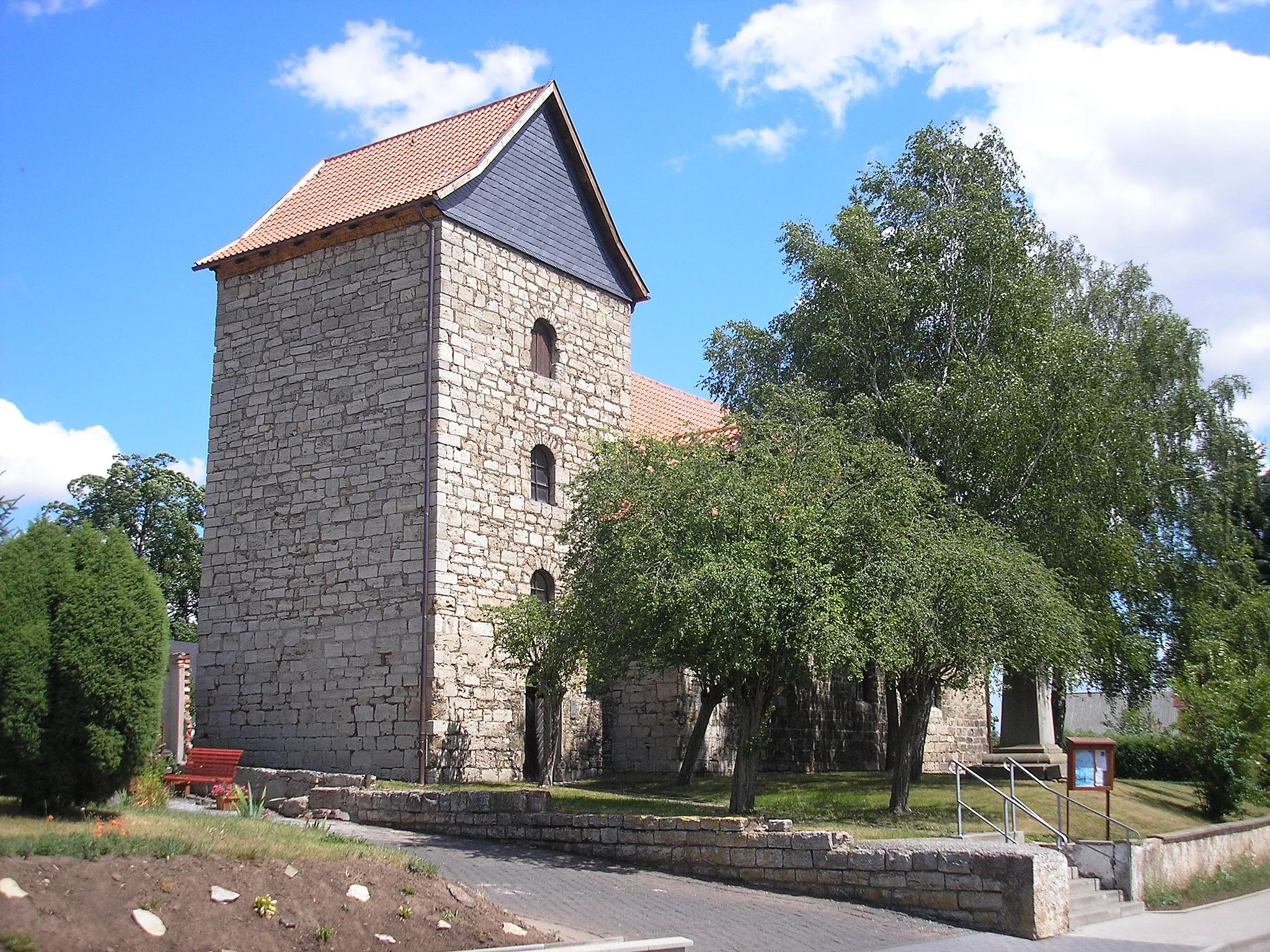
WalkenriedVillageExplore the historical sites of Walkenried, set around the impressive ruins of a medieval monastery.
22 km
22 km
Grenzmuseum: Original Grenz-, Signal- und SperrzauntorAttractionStep back in time at the Grenzmuseum, which showcases original border, signal, and barrier gates from the Cold War era.
28 km
28 km
Rauher Jakob568 mPeakEncounter Rauher Jakob, a distinctive rock formation overlooking the surrounding landscapes.
50 km
50 km
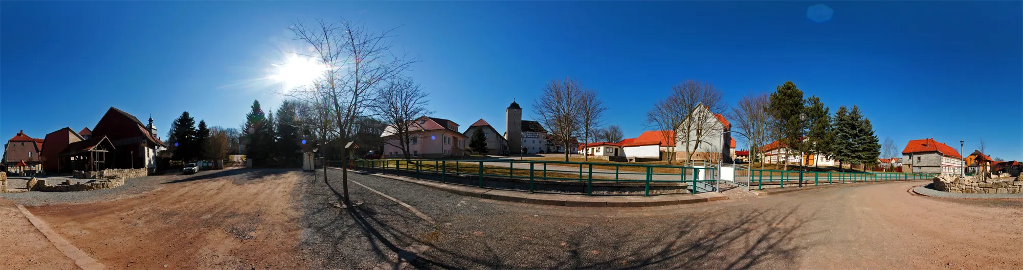
Schmiedeberg493 mPeakVisit Schmiedeberg, a small village with a rich blacksmithing heritage and a cozy atmosphere.
51 km
51 km
BaumannshöhleAttractionDelve into the depths of Baumannshöhle, an extraordinary limestone cave with awe-inspiring stalactite formations.
64 km
64 km
TrautensteinVillageAdmire the sweeping views from Trautenstein, a charming village nestled in the Harz Mountains.
76 km
76 km
Totenkopf492 mPeakChallenge yourself on the demanding ascent to Totenkopf, a mountain summit with breathtaking vistas.
86 km
86 km
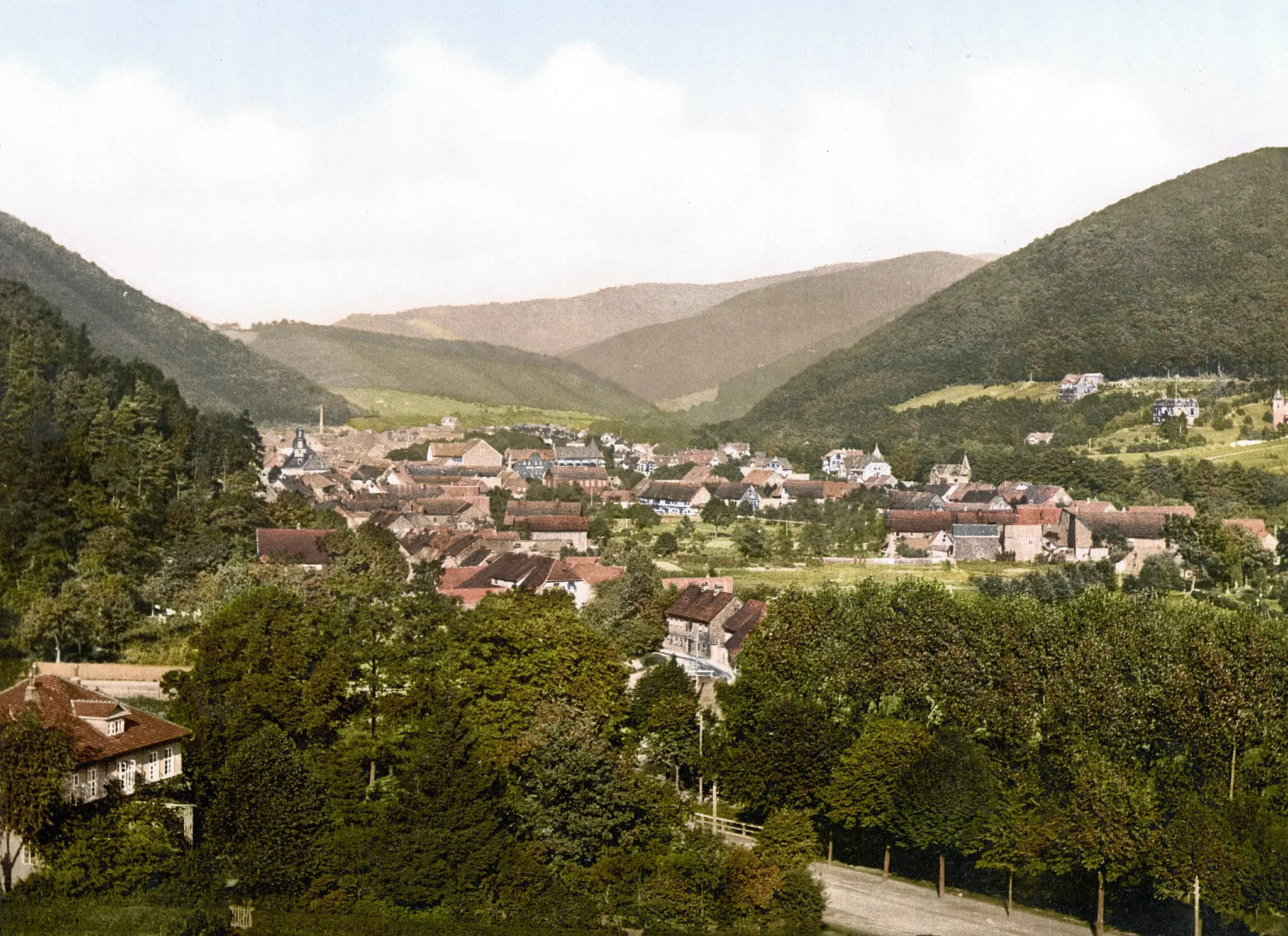
EllrichTownExplore the historical sites and scenic beauty of Ellrich, a town rich in cultural heritage.
88 km
88 km
HexentanzplatzViewpointReach the legendary Hexentanzplatz, a famous cultural and historical site atop a steep cliff.
93 km
93 km
Finish: Branderode Village centerWalkenried: Historical charm and scenic cycling in Walkenried.
Cycling routes from Walkenried:
Cycling routes nearby: