Historical Discovery Ride
A road cycling route starting from Walkenried
Embark on a journey through historical towns and majestic landscapes
Map
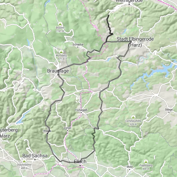
Experience the rich history and captivating landscapes on this cycling route. With 1,273 meters of ascent and a distance of 82 kilometers, this route offers a mixture of challenging climbs and scenic views. Explore charming towns, soak in the beauty of the Harz region, and uncover hidden gems along the way.
road
82 km
1273 m
Tough
Route profile
Highlights on the route
0 km
0 km
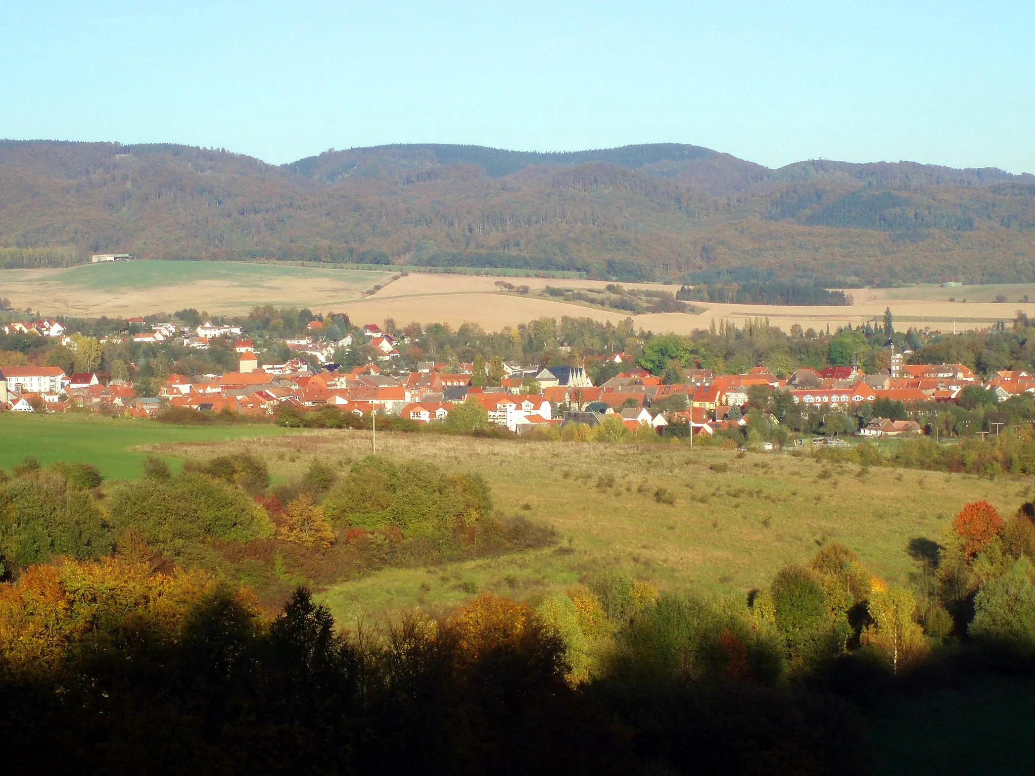
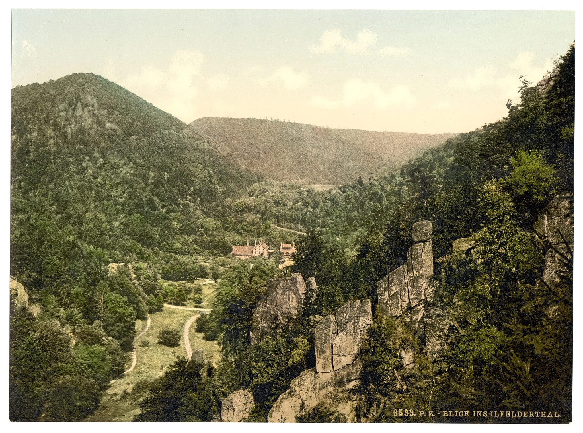
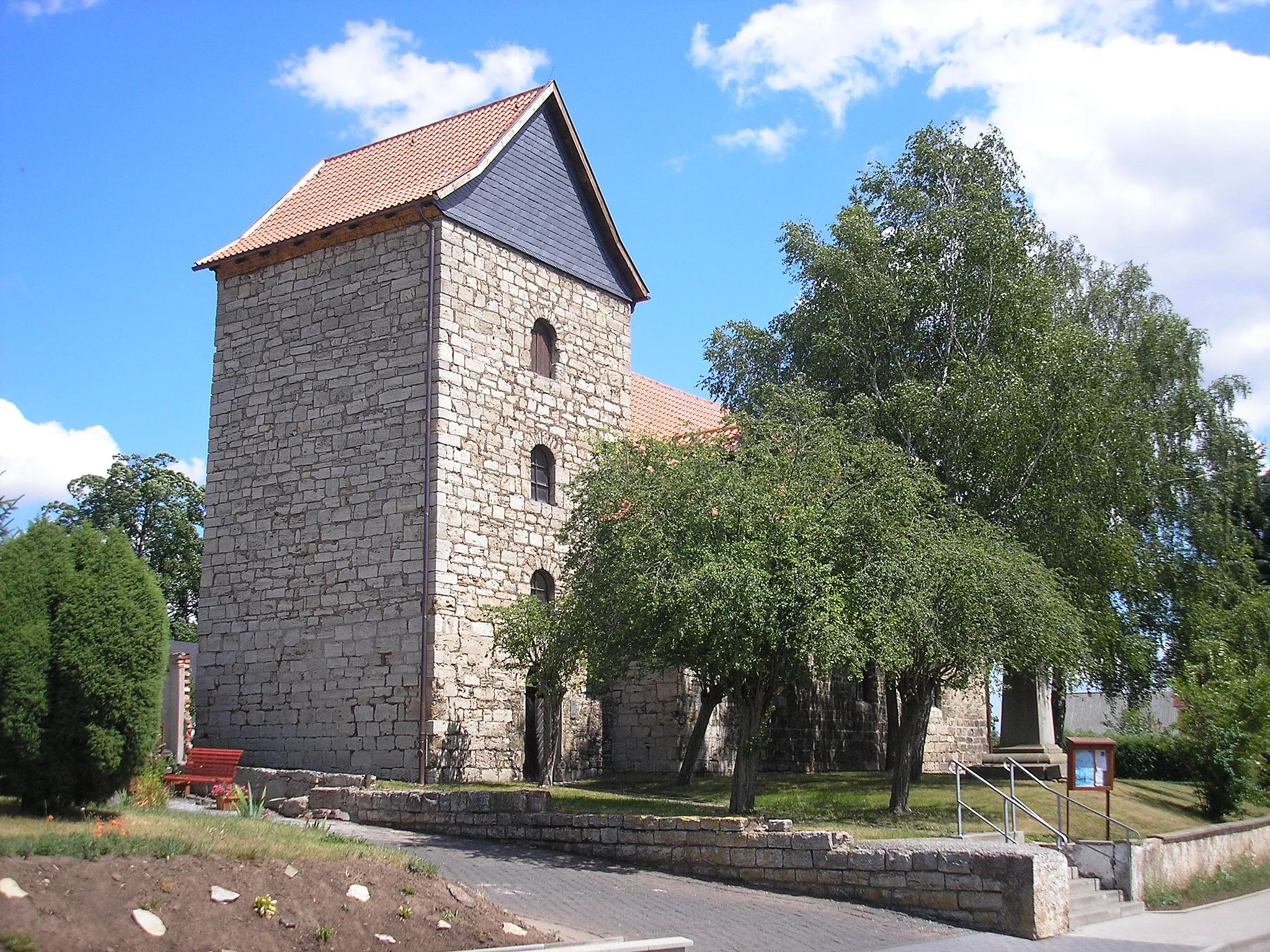
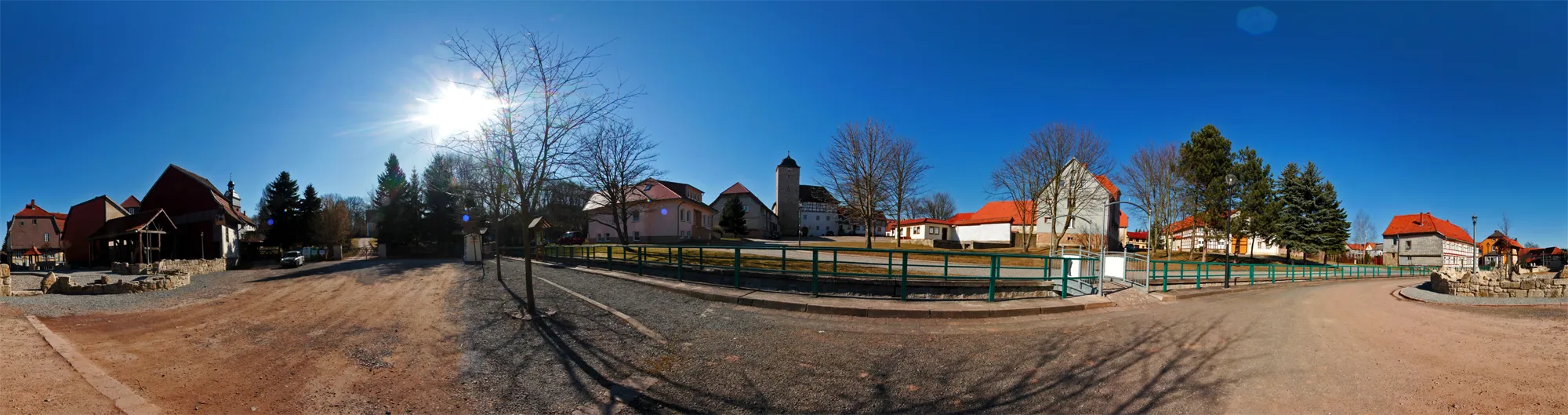
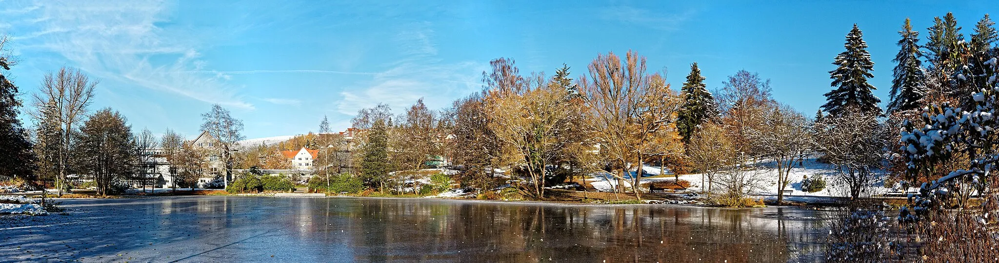
Start: Walkenried Village centerWalkenried: Historical charm and scenic cycling in Walkenried.
Walkenried in Braunschweig, Germany, offers a suitable cycling experience for road and gravel cyclists. The locality provides well-maintained roads and decent cycling routes for riders of all levels. One notable cycling spot nearby is the climb to Brocken, known for its beautiful views and challenging terrain. Walkenried is also close to several historical attractions, such as the Walkenried Abbey, making it a great destination for both cycling and tourism.5 km
5 km
Knicking505 mPeakAdmire the idyllic village of Knicking as you cycle through its picturesque streets.
6 km
6 km
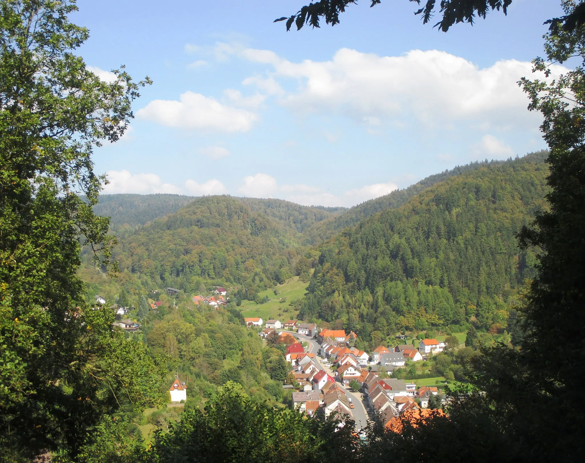
WiedaVillageStop by Wieda, a small town with a big history, and explore its medieval charm.
18 km
18 km
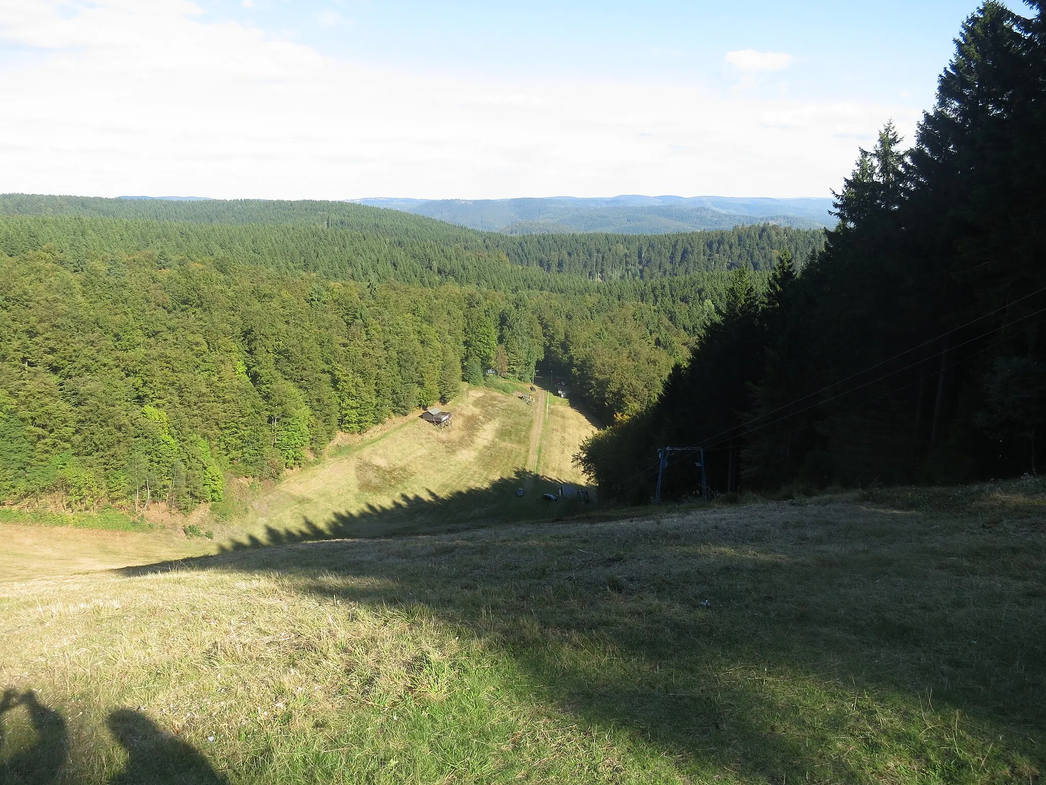
Hasselkopf620 mPeakConquer the challenging climb up the Hasselkopf and enjoy panoramic views of the surrounding landscape.
20 km
20 km
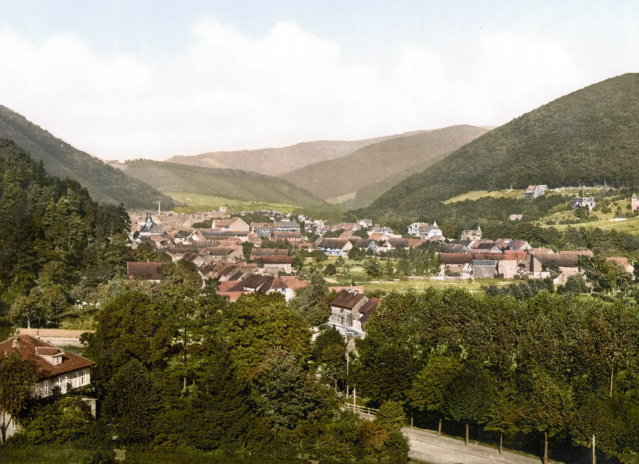
BraunlageTownVisit Braunlage, a popular tourist destination known for its stunning nature and outdoor activities.
33 km
33 km
Drei Annen HohneHamletPass through Drei Annen Hohne, a rustic village nestled in the Harz National Park.
37 km
37 km
Steinberg525 mPeakMarvel at the impressive Steinberg, a rocky outcrop that offers stunning views of the surrounding area.
53 km
53 km
Bockberg496 mPeakEnjoy a relaxing break at Bockberg, a picturesque hill perfect for a peaceful picnic.
61 km
61 km
TanneVillageTake a moment to appreciate the natural beauty of Tanne, a charming village surrounded by forests.
72 km
72 km
Großer Ehrenberg635 mPeakChallenge yourself on the ascent of Großer Ehrenberg, a climb that rewards you with sweeping vistas.
79 km
79 km
EllrichTownDiscover the historical town of Ellrich and uncover its fascinating stories.
82 km
82 km
Finish: Walkenried Village centerWalkenried: Historical charm and scenic cycling in Walkenried.
Cycling routes from Walkenried:
Cycling routes nearby: