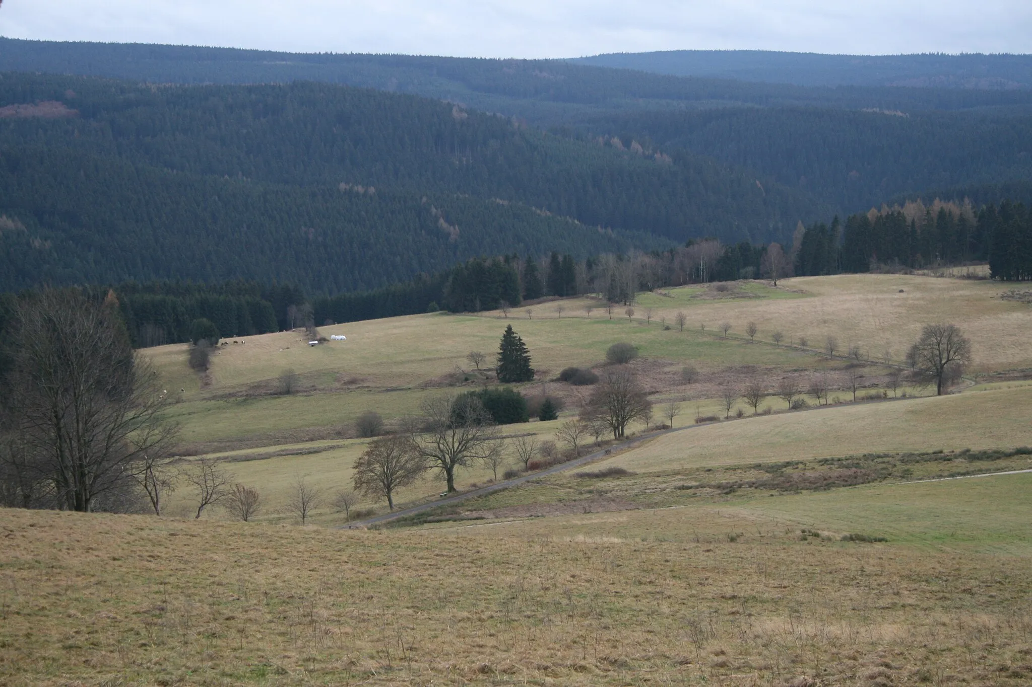
Rolling Hills
A road cycling route starting from Bernsbach
Enjoy a scenic road ride through rolling hills and charming villages
Map
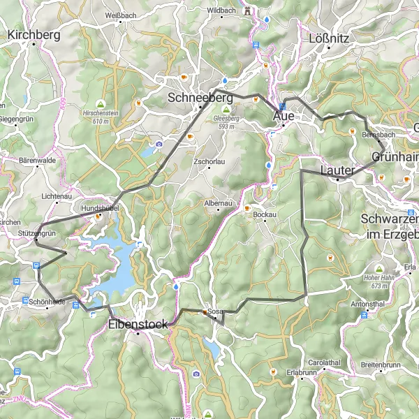
This road cycling route covers 57 kilometers with an ascent of 1240 meters, taking you through beautiful landscapes and historic villages. Lauter, Ochsenkopf, Schönheide, and more are included as highlights along the way, showcasing the region's natural and cultural attractions. Suitable for road cycling enthusiasts, this route promises breathtaking views and plenty of photo opportunities.
road
57 km
1240 m
Tough
Route profile
Highlights on the route
0 km
0 km
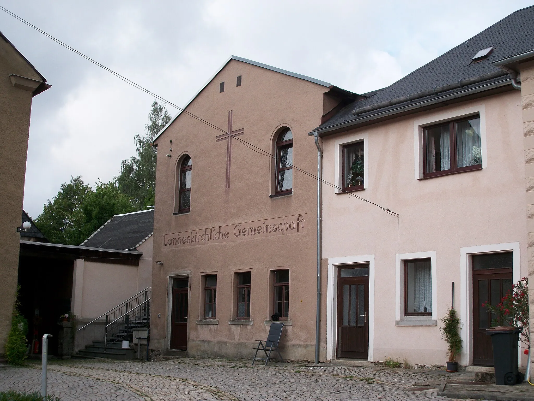
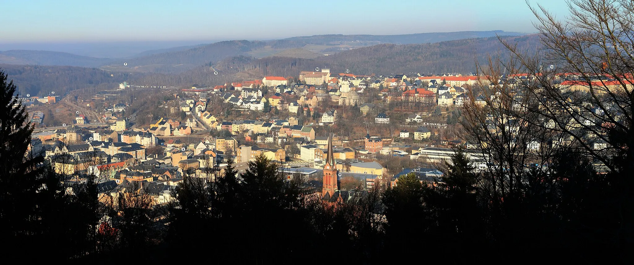
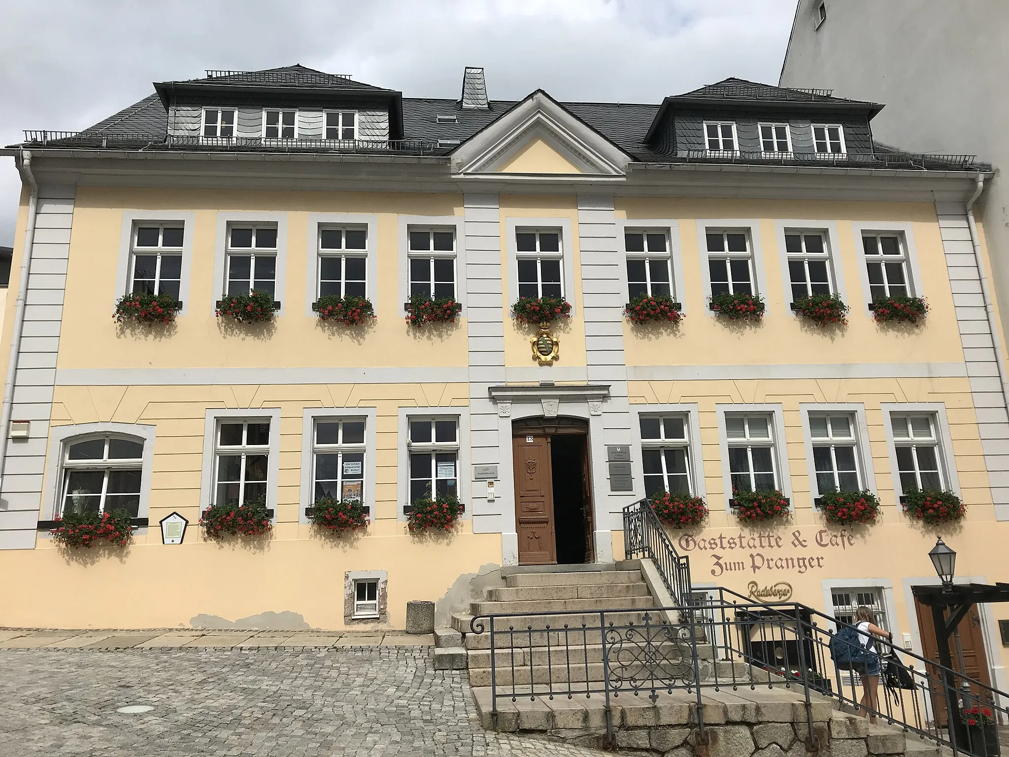
Start: Bernsbach Village centerBernsbach: Discover the scenic beauty and varied terrain of Bernsbach
Bernsbach in Chemnitz, Germany is a pleasant locality for road and gravel cyclists. The region offers a mix of challenging terrain and scenic landscapes, making it an ideal destination for cyclists seeking variety. One of the notable cycling spots nearby is the Auersberg-Kreuzung climb, known for its stunning views at the summit. With its diverse routes and natural beauty, Bernsbach offers a rewarding cycling experience for riders of different skill levels.3 km
3 km
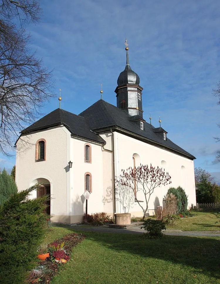
LauterTownLauter is a picturesque village nestled in the hills, offering panoramic views of the surrounding countryside.
12 km
12 km
Ochsenkopf823 mPeakOchsenkopf, a prominent hill in the region, provides stunning vistas and hiking trails.
27 km
27 km
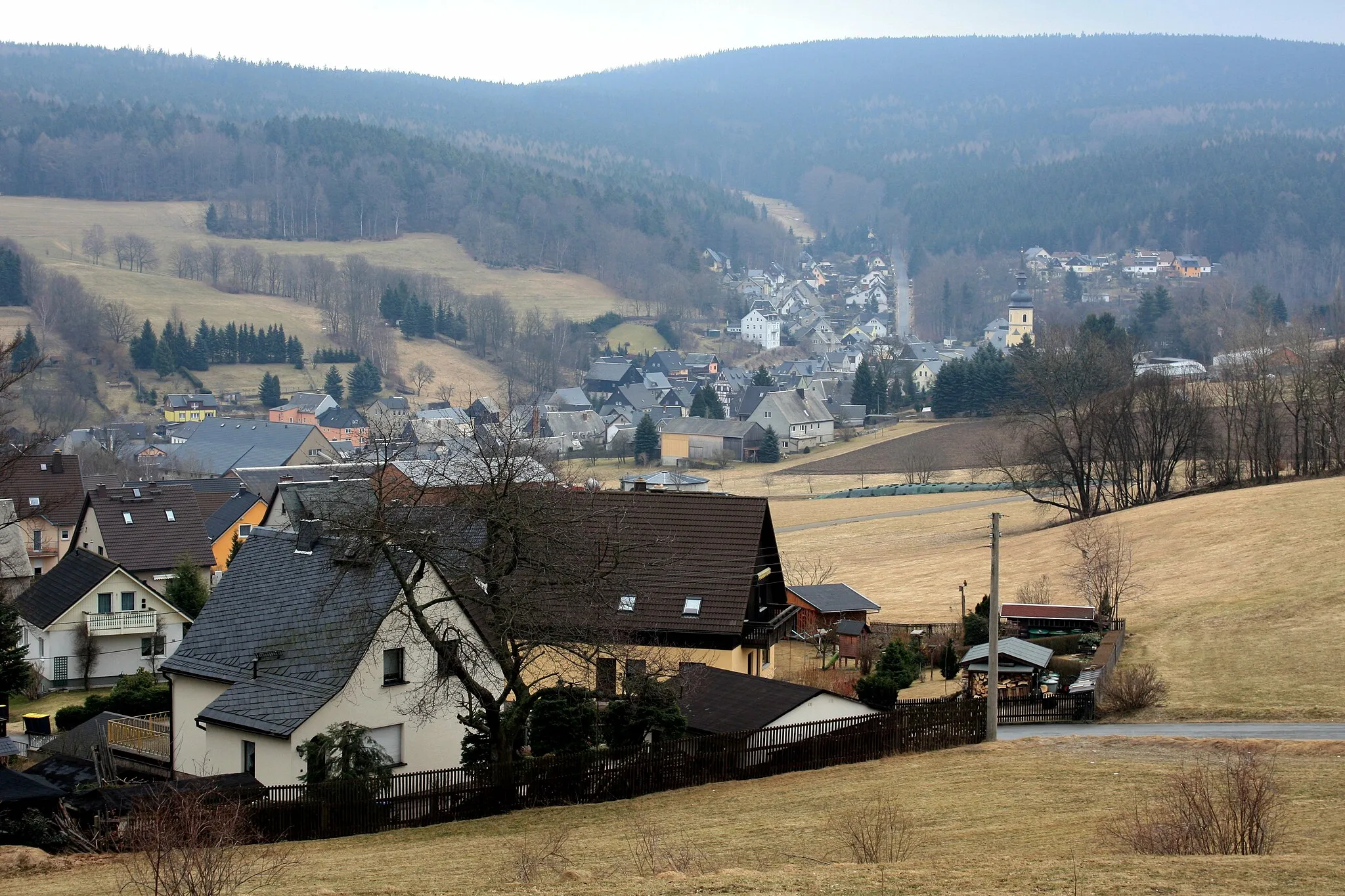
SchönheideVillageSchönheide is known for its charming architecture, including historic timber-framed houses.
28 km
28 km
Allee675 mPeakAllee, a scenic tree-lined avenue, offers a refreshing and shaded cycling experience.
45 km
45 km
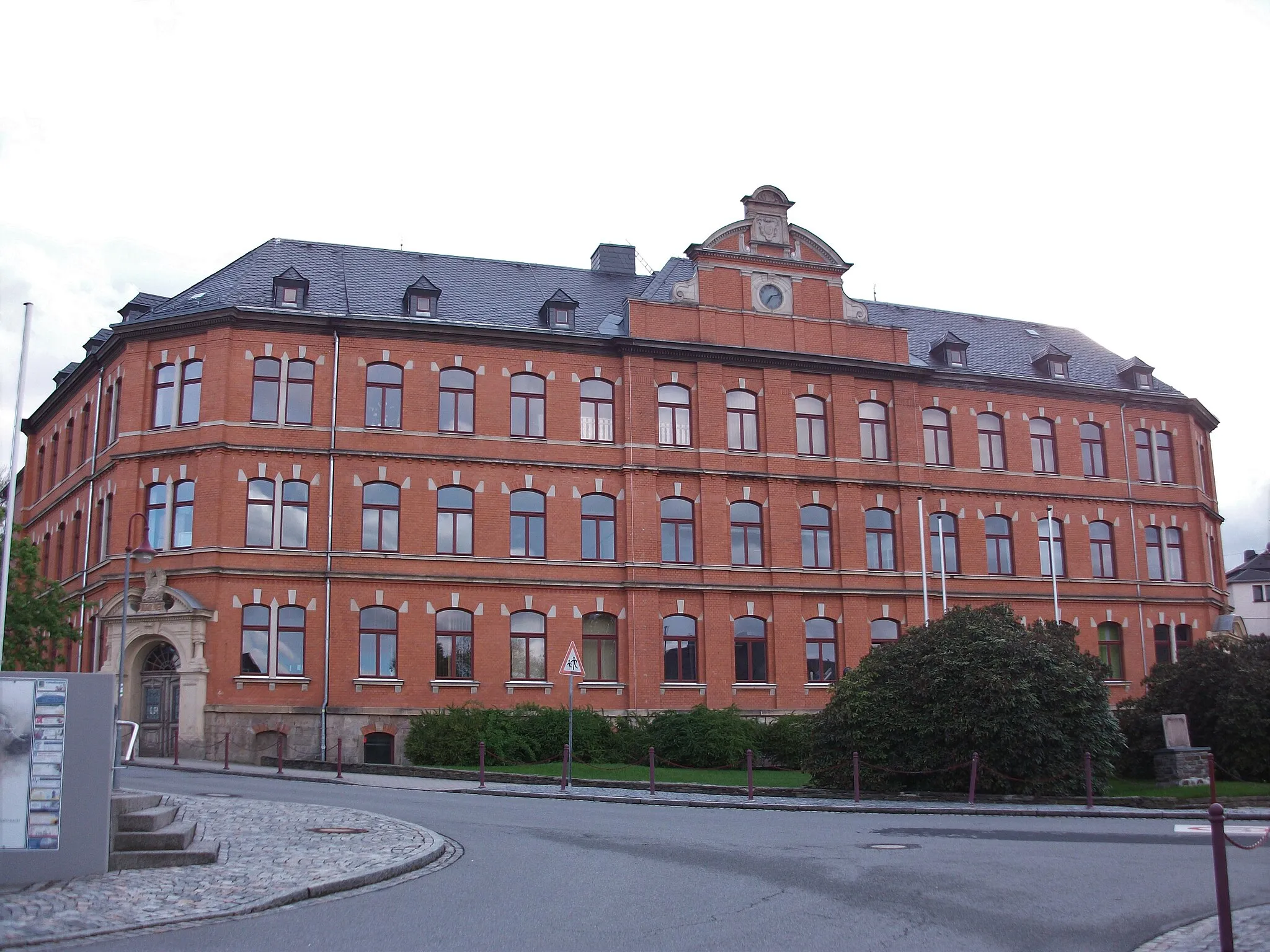
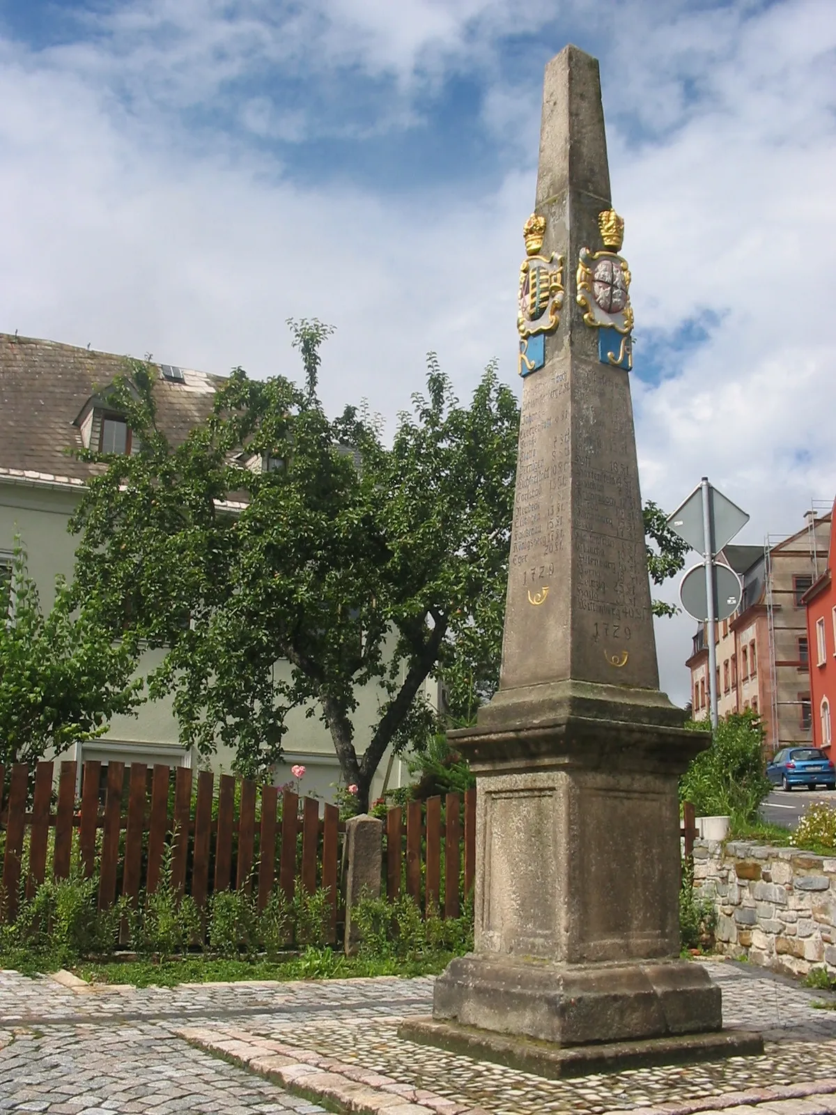
SchneebergTownSchneeberg is a picturesque town with an iconic church spire that dominates the skyline.
47 km
47 km
Gleesberg593 mPeakGleesberg, a hilltop observation point, features panoramic views of the rolling hills and valleys below.
53 km
53 km
Eisenstein517 mPeakEisenstein is a charming village known for its traditional architecture and cultural heritage.
57 km
57 km
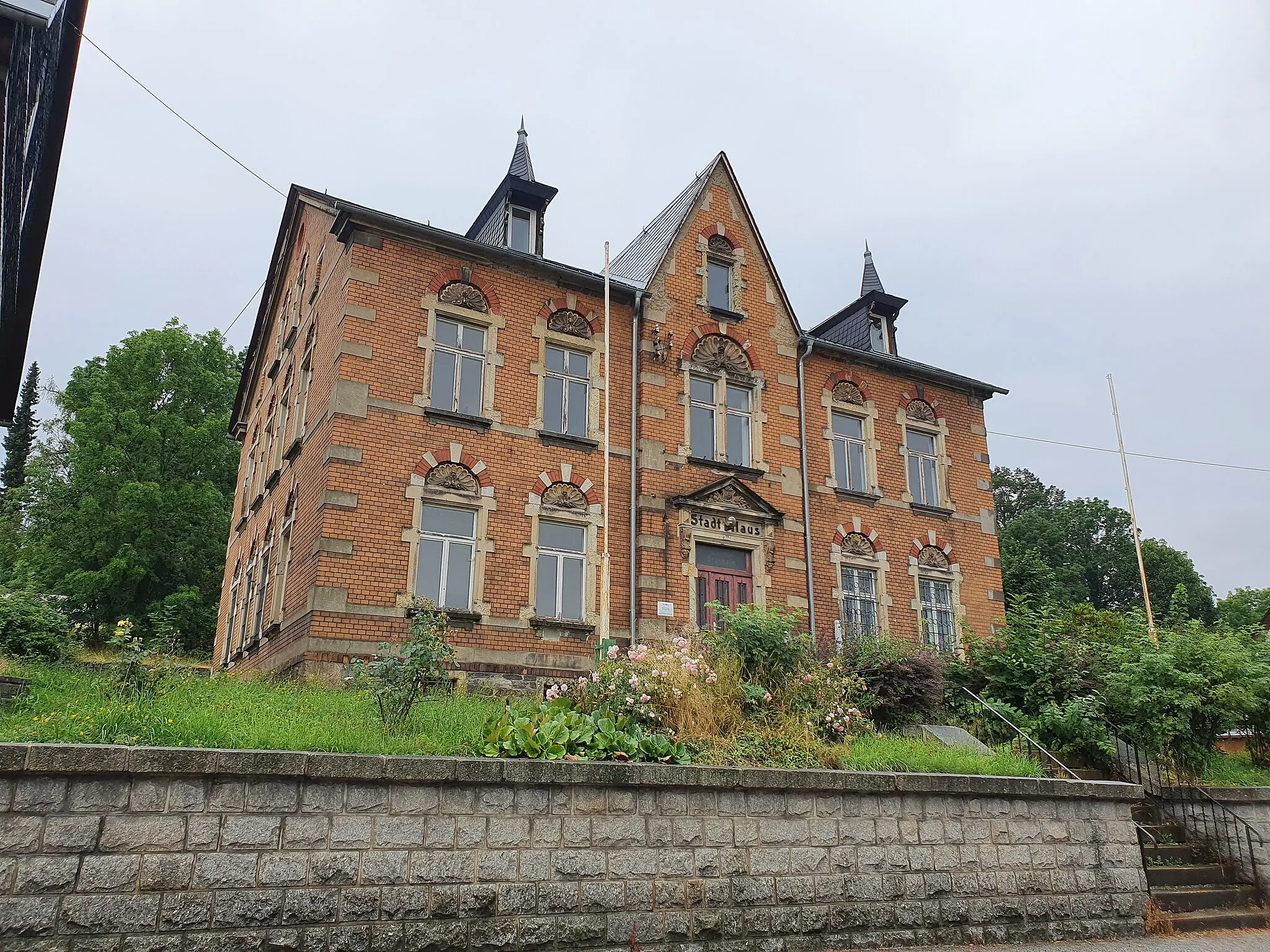
BernsbachVillageBernsbach, the starting point of this route, is a historic town with impressive landmarks and heritage sites.
57 km
57 km
Finish: Bernsbach Village centerBernsbach: Discover the scenic beauty and varied terrain of Bernsbach
Cycling routes nearby: