The Ultimate Road Cycling Challenge
A road cycling route starting from Bernsbach
Embark on a 127-kilometer road cycling adventure through challenging terrain and stunning landscapes.
Map
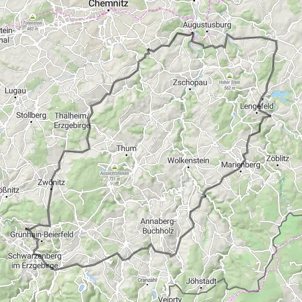
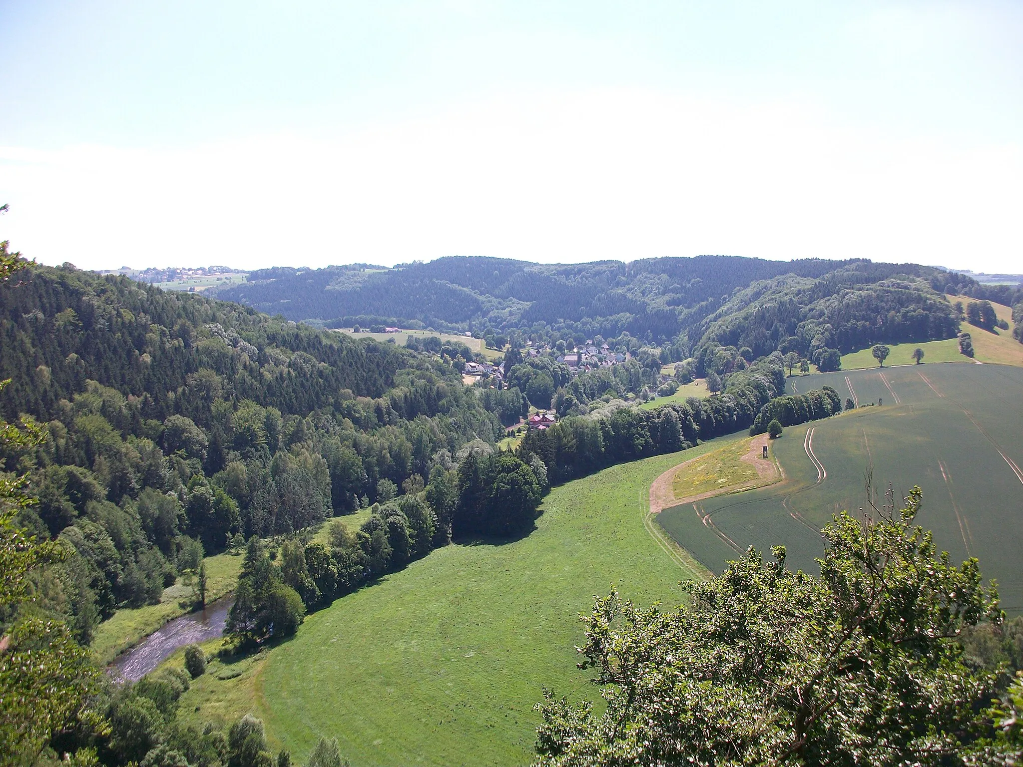
This road cycling route near Bernsbach is not for the faint-hearted. With a total ascent of 2407 meters and a distance of 127 kilometers, this challenging route is perfect for experienced and well-trained cyclists who are looking for an epic adventure. The route takes you through diverse landscapes, including the enchanting Spiegelwald forest and the vibrant town of Zwönitz. Highlights along the way include the historical town of Eppendorf and the breathtaking views from the iconic Brandhübel lookout. Get ready for a thrilling and unforgettable ride that will push your cycling skills to the limit.
road
127 km
2407 m
Savage
Route profile
Highlights on the route
0 km
0 km
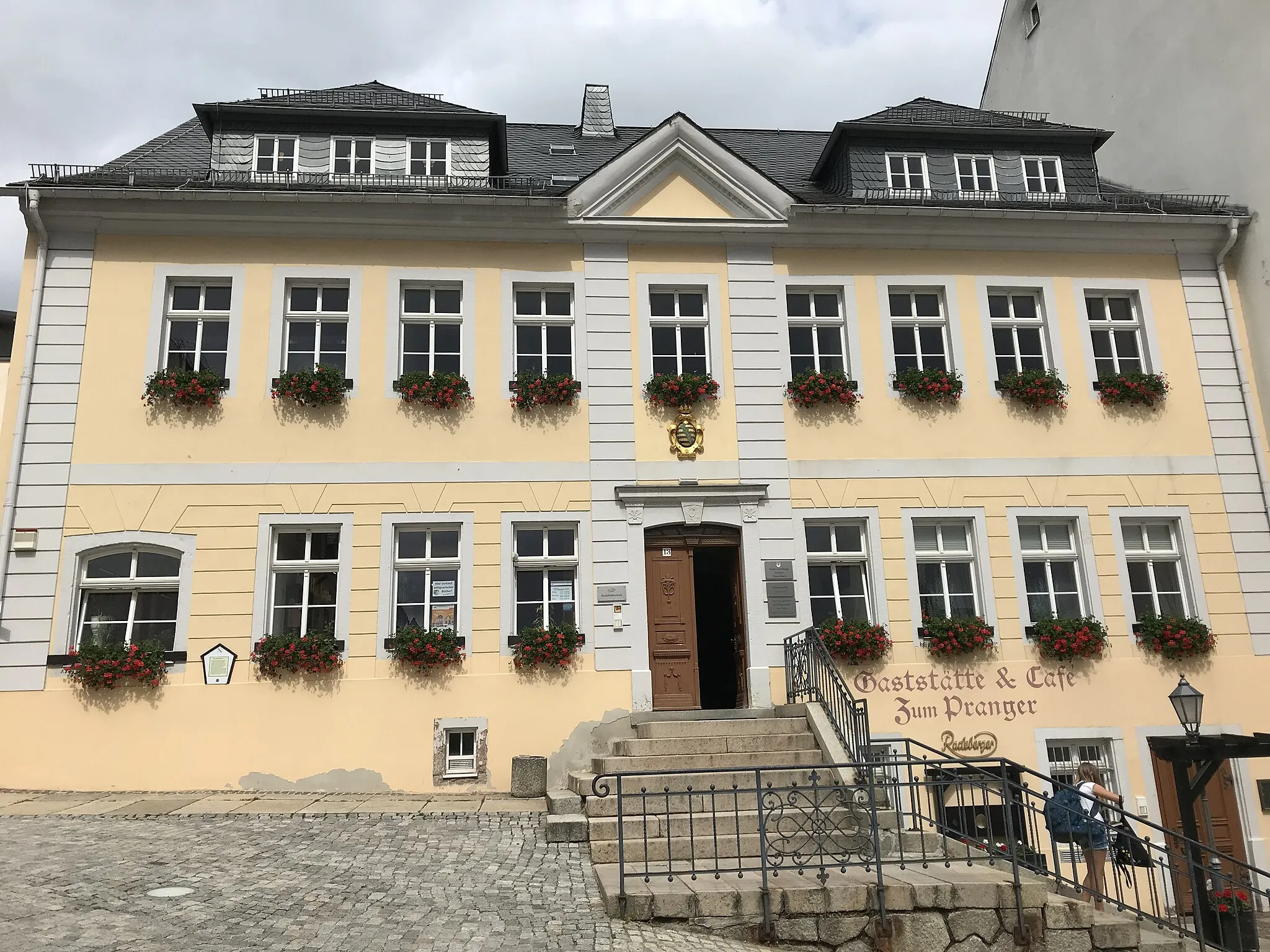
Start: Bernsbach Village centerBernsbach: Discover the scenic beauty and varied terrain of Bernsbach
Bernsbach in Chemnitz, Germany is a pleasant locality for road and gravel cyclists. The region offers a mix of challenging terrain and scenic landscapes, making it an ideal destination for cyclists seeking variety. One of the notable cycling spots nearby is the Auersberg-Kreuzung climb, known for its stunning views at the summit. With its diverse routes and natural beauty, Bernsbach offers a rewarding cycling experience for riders of different skill levels.1 km
1 km
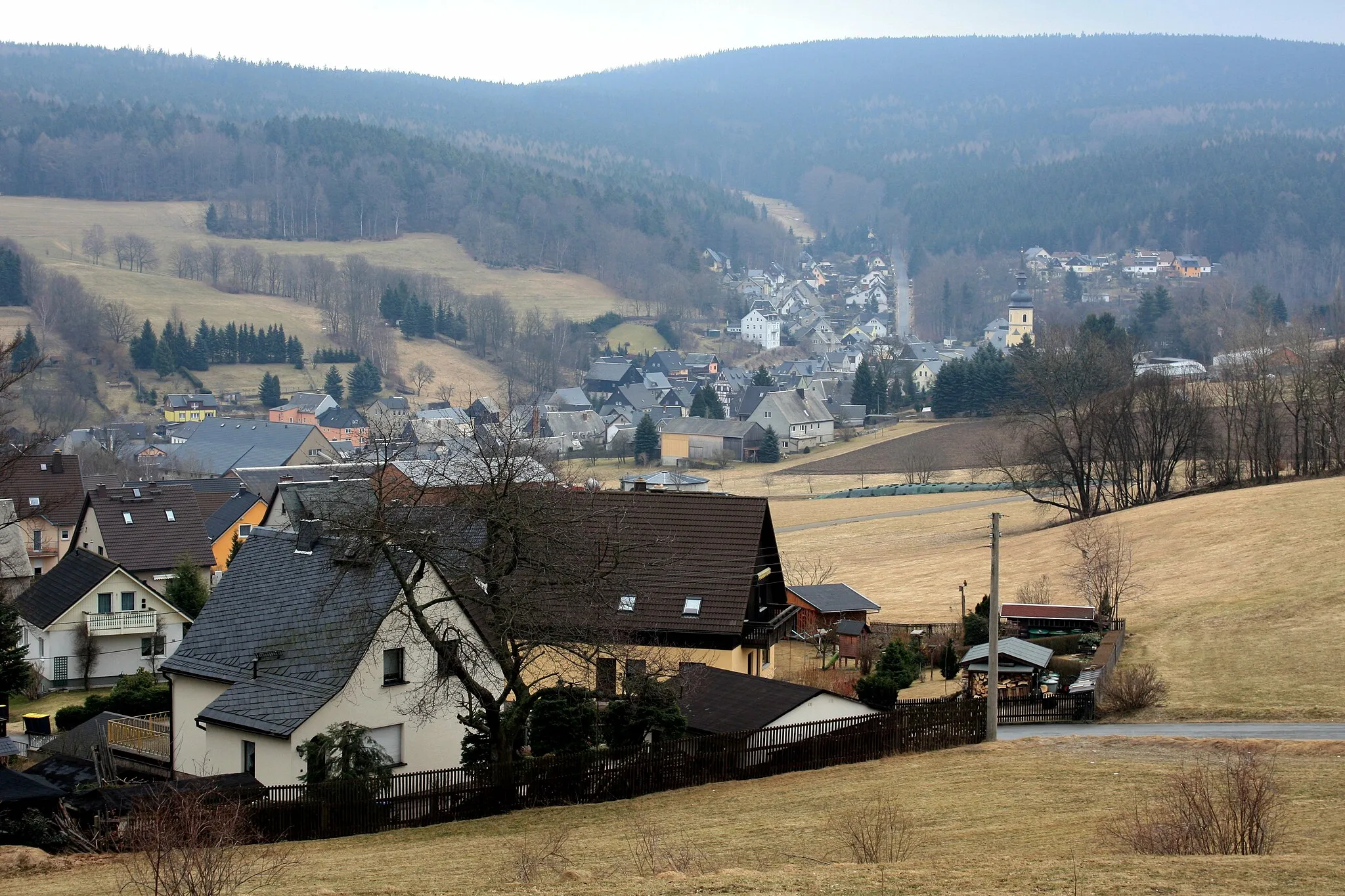
Spiegelwald727 mPeakSpiegelwald is a beautiful forest known for its serene atmosphere and picturesque trails.
9 km
9 km
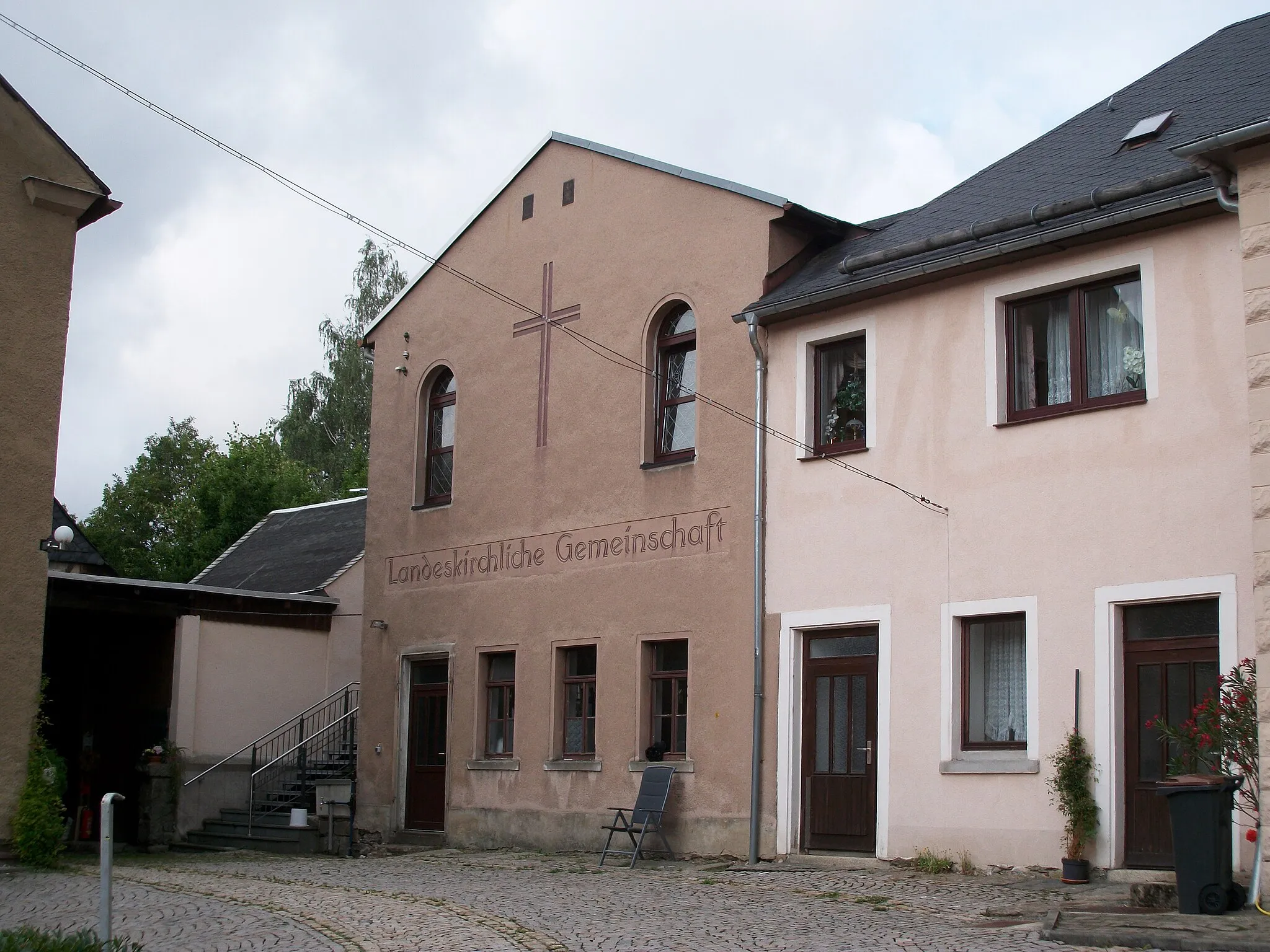
ZwönitzTownZwönitz is a historic town with charming architecture and a vibrant cultural scene.
17 km
17 km
Huthübel587 mPeakHuthübel is a scenic spot with panoramic views of the surrounding hills and forests.
26 km
26 km
BurkhardtsdorfVillageBurkhardtsdorf is a small town with a rich mining history and traditional crafts.
39 km
39 km
Hungersberg441 mPeakHungersberg is an impressive mountain peak offering stunning views of the entire region.
45 km
45 km
HennersdorfVillageHennersdorf is a picturesque village with traditional half-timbered houses and a charming atmosphere.
52 km
52 km
OlympViewpointOlymp is a mountain peak that offers breathtaking views of the surrounding landscape, especially at sunrise or sunset.
59 km
59 km
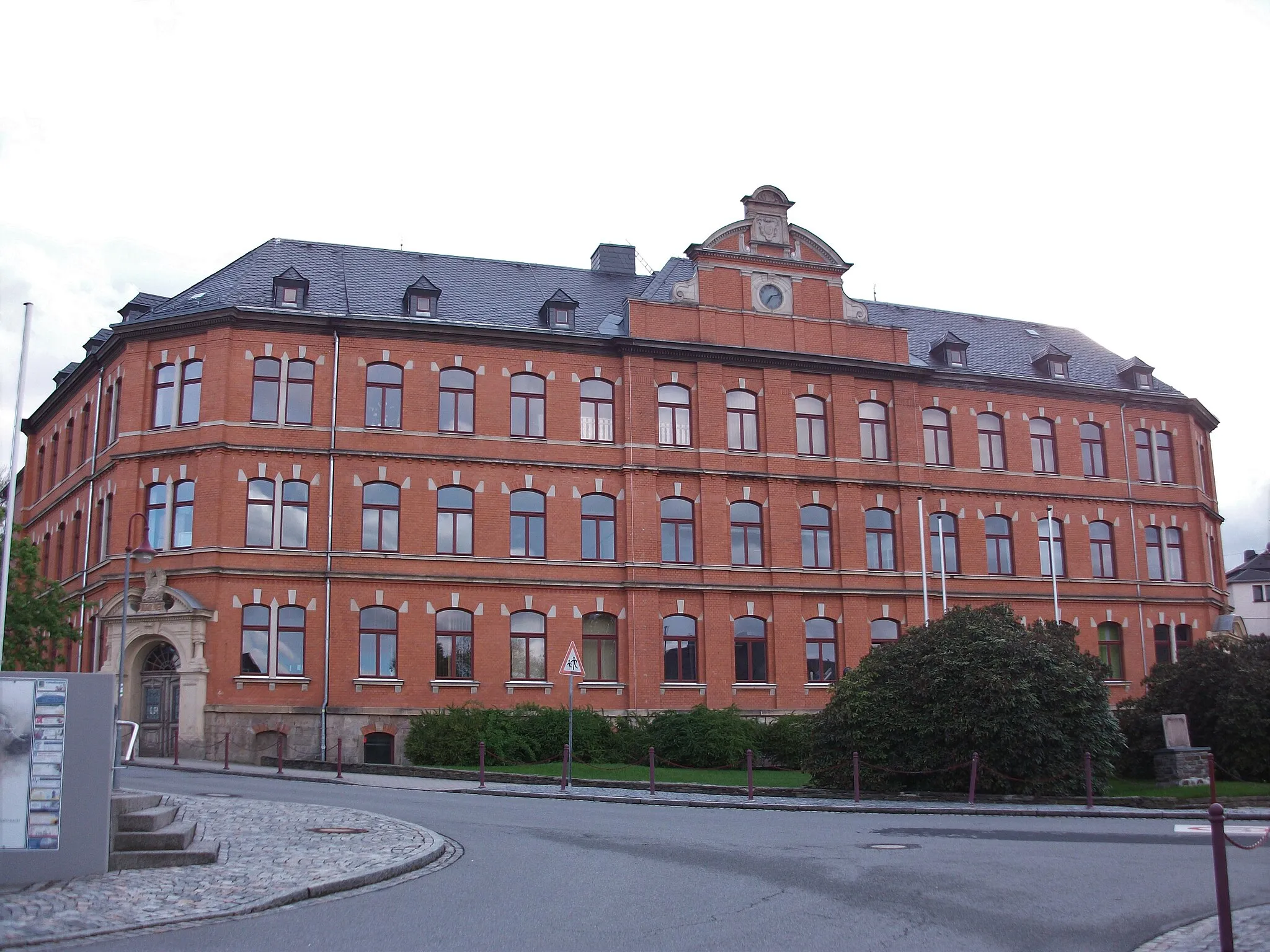
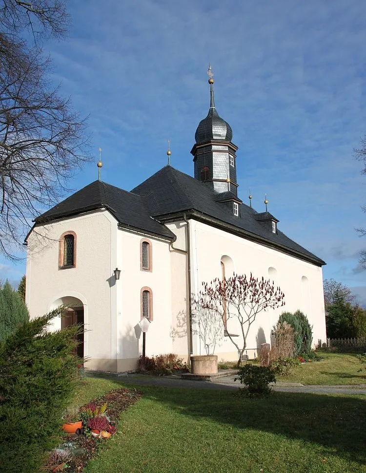
EppendorfVillageEppendorf is a historically significant town with well-preserved medieval buildings and a rich cultural heritage.
75 km
75 km
Brandhübel610 mPeakBrandhübel is a popular lookout point that offers panoramic views of the entire region, including the nearby Erzgebirge mountains.
82 km
82 km
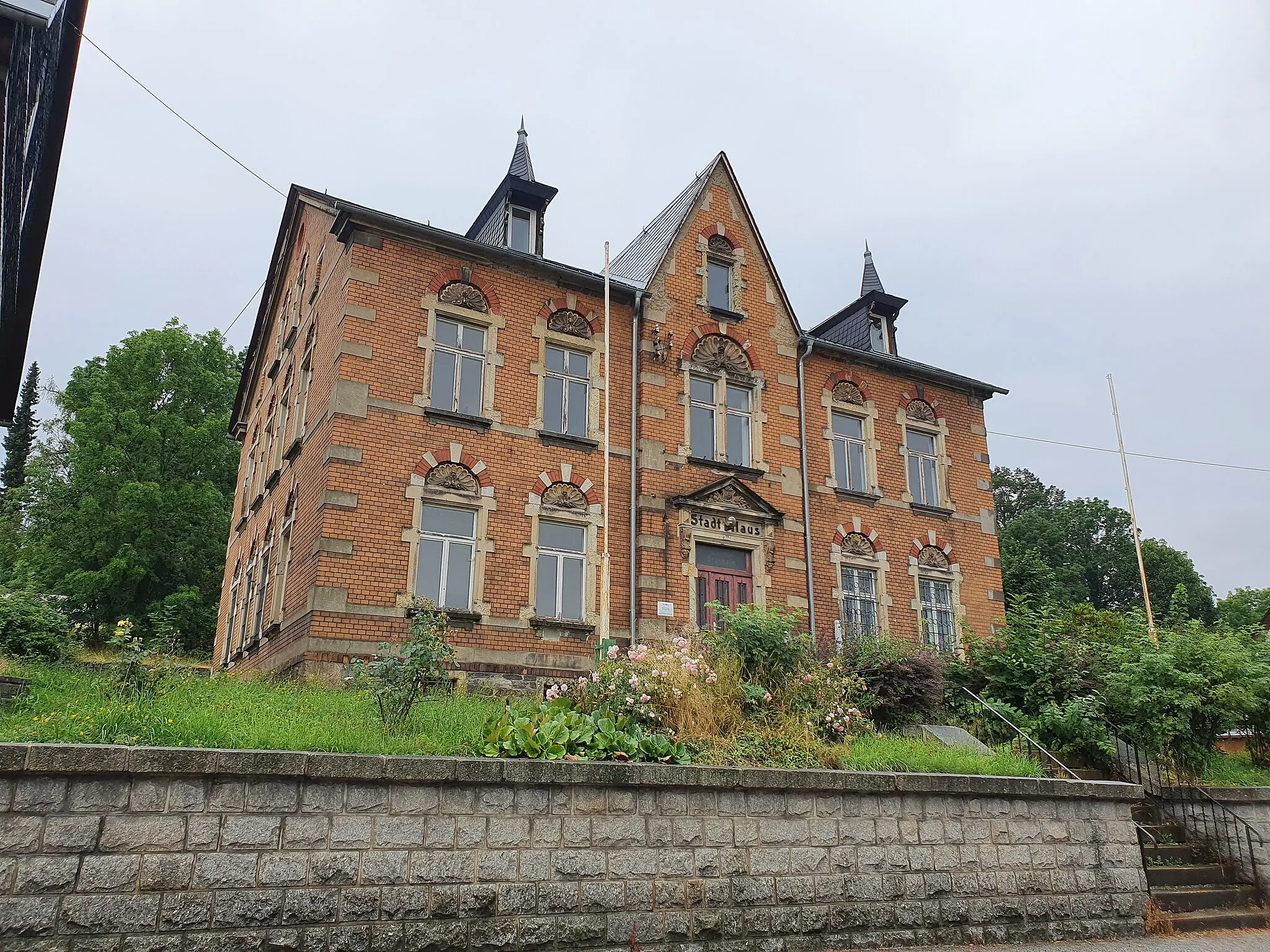
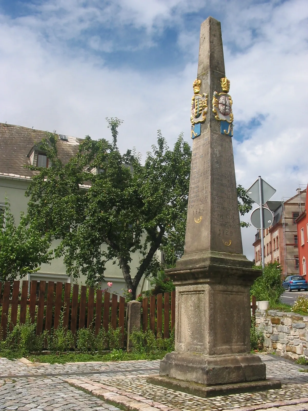
MarienbergTownMarienberg is a picturesque town known for its charming Old Town and impressive castle ruins.
93 km
93 km
MildenauVillageMildenau is a small village with a peaceful and idyllic atmosphere, surrounded by rolling hills and lush forests.
96 km
96 km
Hermannshöhe702 mPeakHermannshöhe is a scenic viewpoint that offers breathtaking views of the surrounding countryside.
111 km
111 km
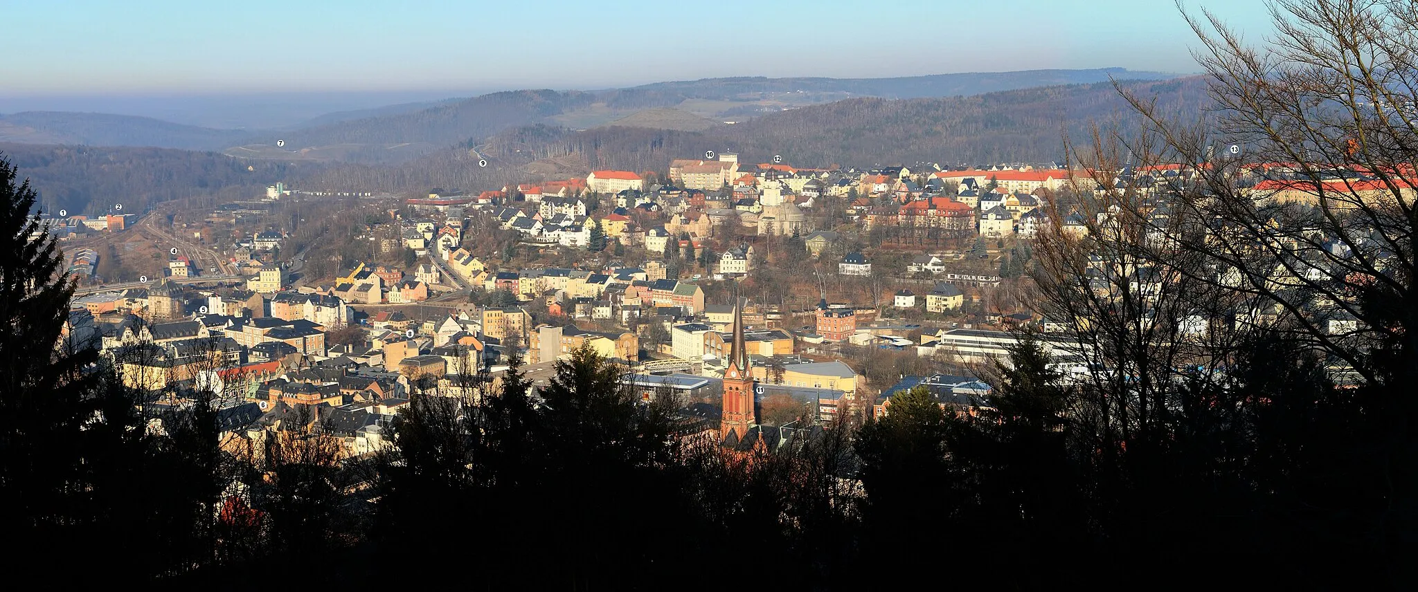
Scheibenberg807 mPeakScheibenberg is a charming town with a rich mining history and a beautiful Old Town.
115 km
115 km
MarkersbachVillageMarkersbach is a small village nestled in the hills, offering stunning views of the surrounding landscape.
123 km
123 km
Galgenberg/ Blick auf SonnenleitheViewpointGalgenberg provides a picturesque vantage point with panoramic views of the Sonnenleithe area.
125 km
125 km
Grünhain-BeierfeldTownGrünhain-Beierfeld is a charming town known for its traditional crafts and historic architecture.
127 km
127 km
Finish: Bernsbach Village centerBernsbach: Discover the scenic beauty and varied terrain of Bernsbach
Cycling routes nearby: