Greiz Gravel Expedition
A gravel cycling route starting from Falkenstein
Exploring hilly landscapes and historic towns
Map
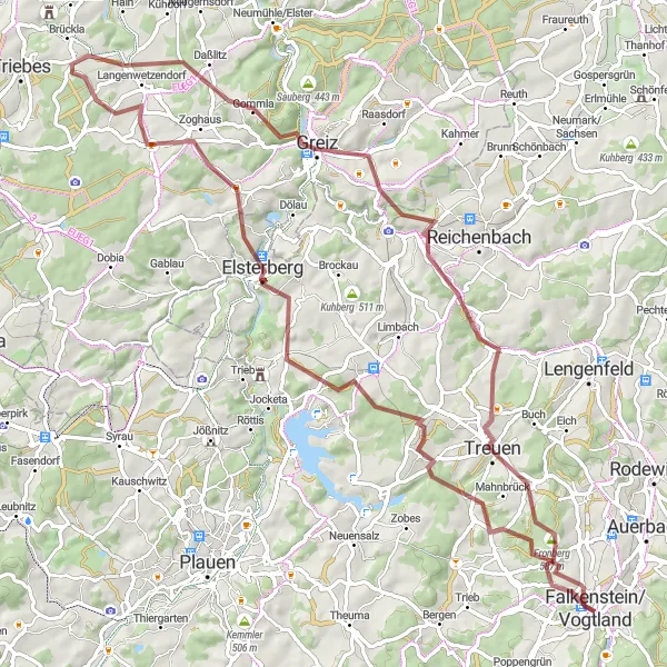
The Greiz Gravel Expedition is an 85-kilometer gravel route starting near Falkenstein. This expedition takes you through hilly landscapes, picturesque towns, and historic sites. With a total ascent of 1434 meters, this route offers a moderate challenge for experienced gravel riders.
gravel
85 km
1434 m
Tough
Route profile
Highlights on the route
0 km
0 km
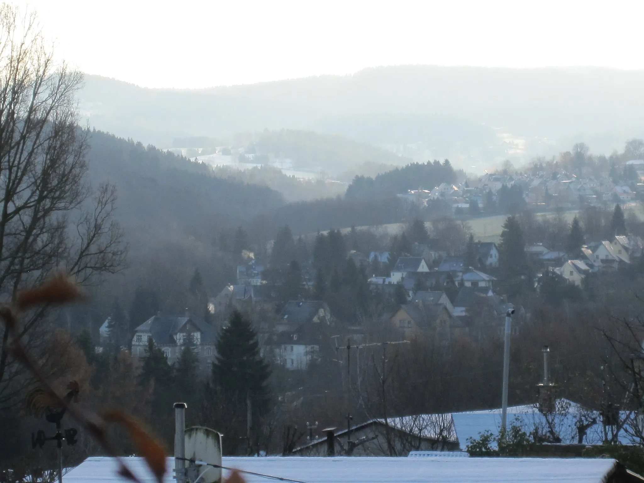
Start: Falkenstein/Vogtland City centerFalkenstein: Nature's Cycling Wonderland in Chemnitz
Falkenstein in Chemnitz, Germany is a cyclist's dream destination. The locality offers a combination of stunning natural landscapes and well-paved roads, perfect for road and gravel cycling. Cyclists can explore picturesque routes along the Mulde River and admire the beautiful cliffs and forested areas. Additionally, Falkenstein is home to the famous Erzgebirge Mountains, which provide challenging climbs and breathtaking scenery. With its variety of cycling options and captivating surroundings, Falkenstein receives a rank of 4.0 km
0 km
Lochstein631 mPeakLochstein, located at the start, is a rocky outcrop offering panoramic views of the surrounding countryside. Enjoy the scenic vistas before embarking on your expedition.
9 km
9 km
TreuenTownTreuen, situated 9 kilometers into the route, is a charming town known for its historic market square and well-preserved architecture.
29 km
29 km
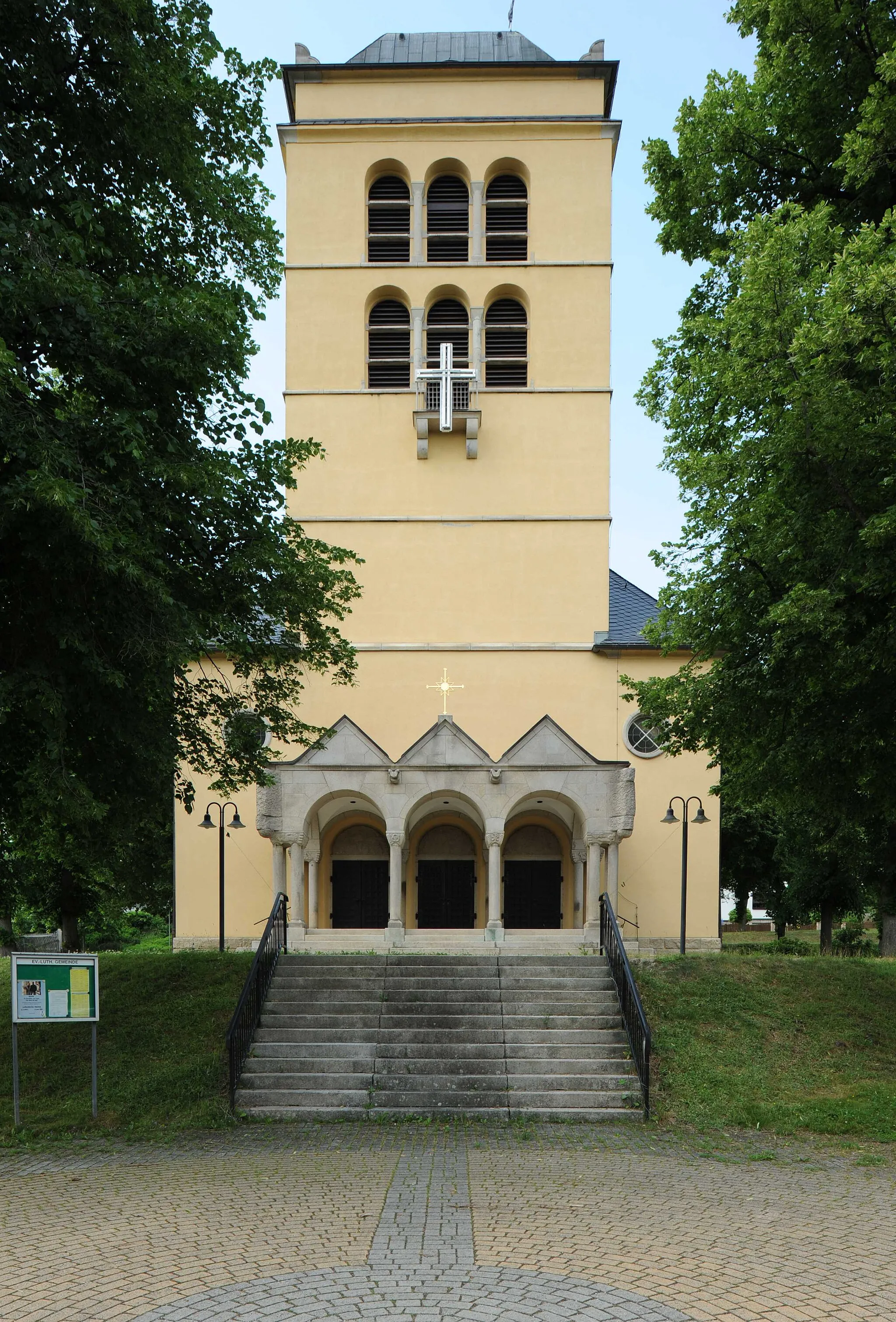
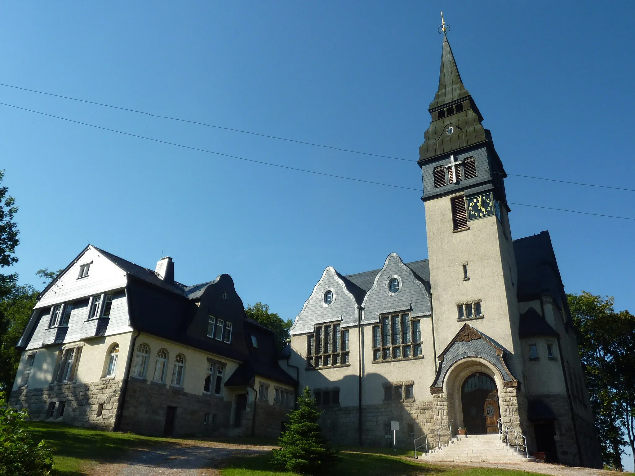
GreizTownGreiz, at the 29-kilometer mark, is a captivating town with a grand castle fortress overlooking the river. Explore its streets and immerse yourself in its rich history.
30 km
30 km
Klingenstein405 mPeakKlingenstein, 30 kilometers into the expedition, is a tranquil village surrounded by rolling hills and green landscapes.
39 km
39 km
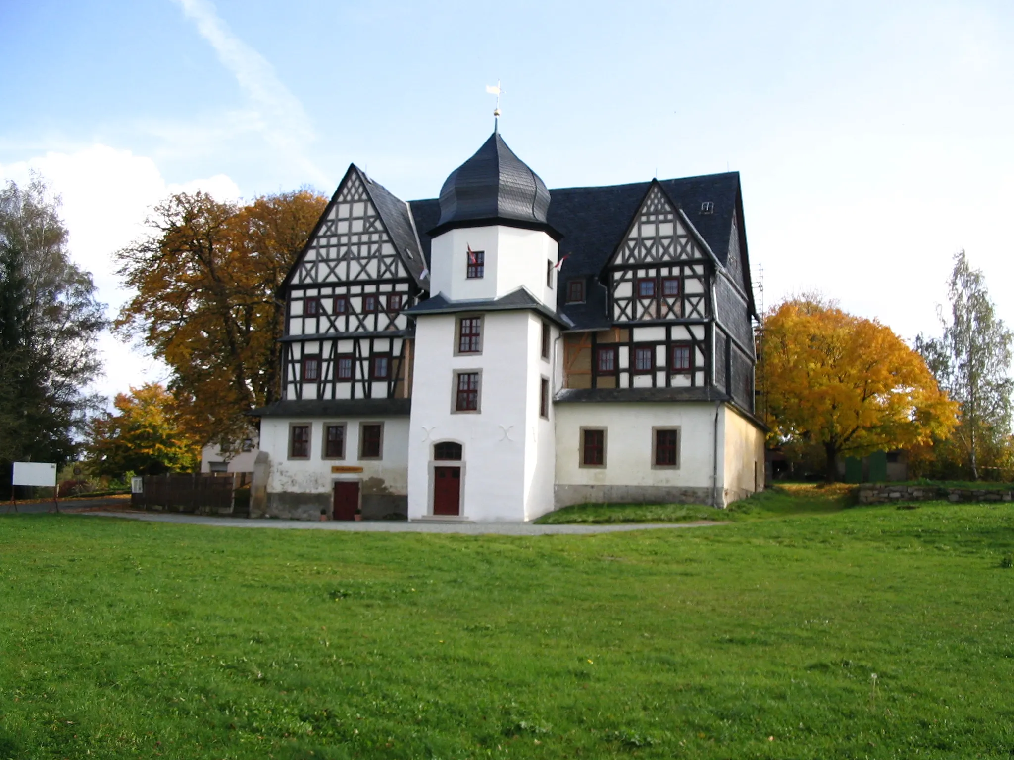
LangenwetzendorfVillageLangenwetzendorf, located 39 kilometers into the route, is a small village with traditional half-timbered houses and a tranquil countryside atmosphere.
47 km
47 km
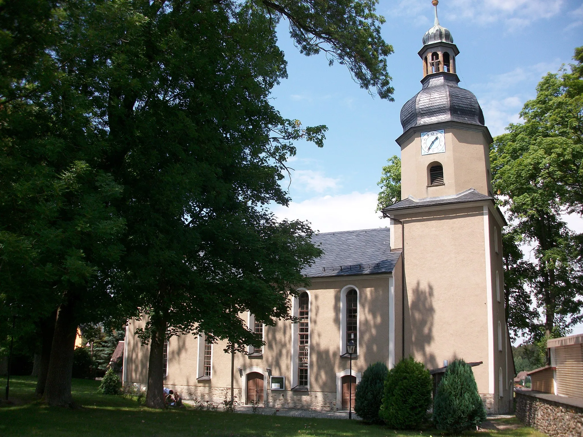
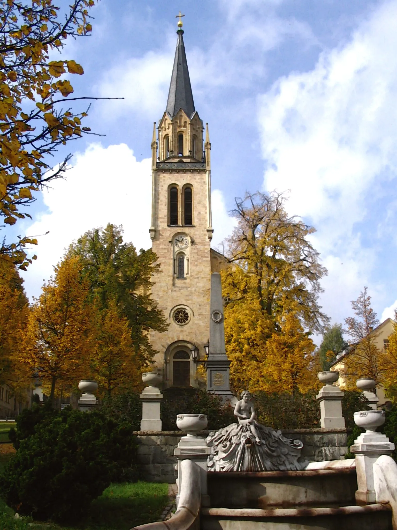
Pfarrberg393 mPeakPfarrberg, at the 47-kilometer mark, is a hilltop settlement with a beautiful church and stunning views of the surrounding landscape.
57 km
57 km
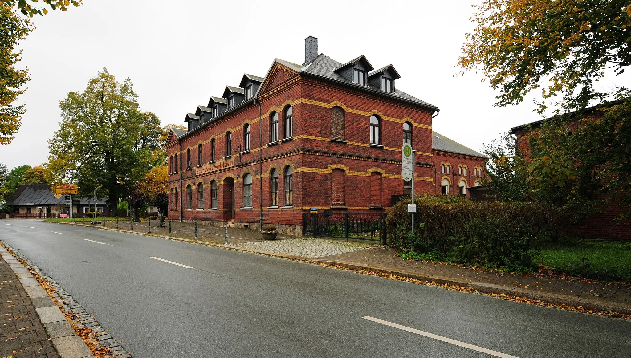
ElsterbergTownElsterberg, 57 kilometers into the expedition, is a town known for its picturesque old town and the impressive Elster River.
64 km
64 km
Eichberg422 mPeakEichberg, located 64 kilometers into the route, is a charming village surrounded by lush woodlands and scenic views.
71 km
71 km
GospersgrünVillageGospersgrün, situated 71 kilometers into the expedition, is a small idyllic village with picturesque landscapes and charming traditional houses.
79 km
79 km
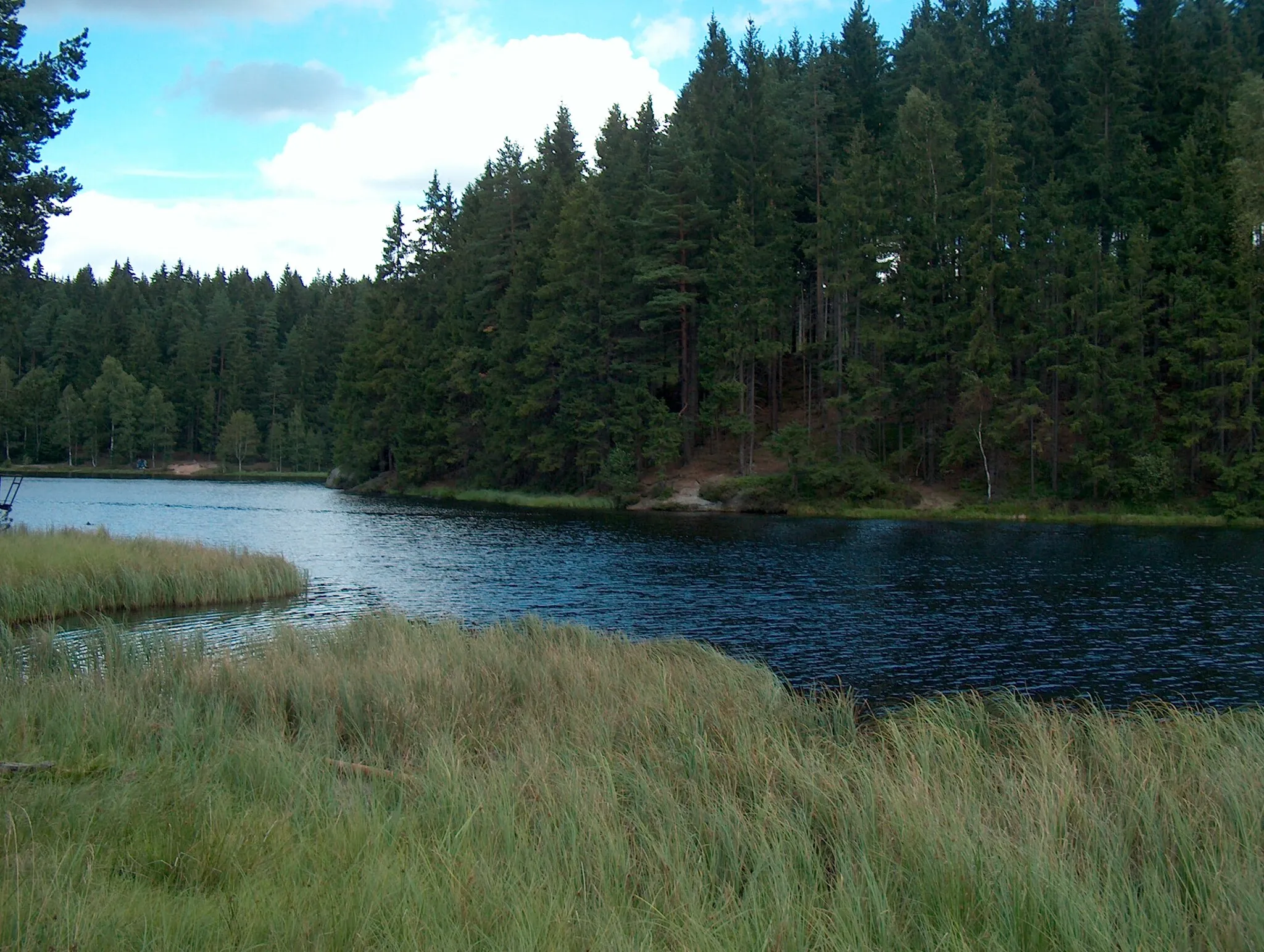
Knock525 mPeakKnock, at the 79-kilometer mark, is a hidden gem nature reserve known for its impressive rock formations and diverse wildlife.
85 km
85 km
Finish: Falkenstein/Vogtland City centerFalkenstein: Nature's Cycling Wonderland in Chemnitz
Cycling routes from Falkenstein:
Cycling routes nearby: