The Hilltop Challenge
A road cycling route starting from Falkenstein
Conquer the stunning hills and valleys of Falkenstein on this epic road cycling route.
Map
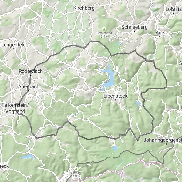
The Hilltop Challenge is a demanding road cycling route that will test your endurance and skills. With a total distance of 84 km and an ascent of 1684 m, this route is perfect for experienced cyclists seeking a thrilling adventure. The highlights along the route include Auerbach, Crinitzberg, Bockau, Ochsenkopf, Wildenthal, Schneehübel, Morgenröthe-Rautenkranz, Thierberg, Schlossfelsen, and Falkenstein/Vogtland. These landmarks offer a mix of natural beauty, historic sites, and panoramic views. Overall, the Hilltop Challenge is a must-do for cyclists looking for a true test of their abilities in Falkenstein.
road
84 km
1684 m
Savage
Route profile
Highlights on the route
0 km
0 km
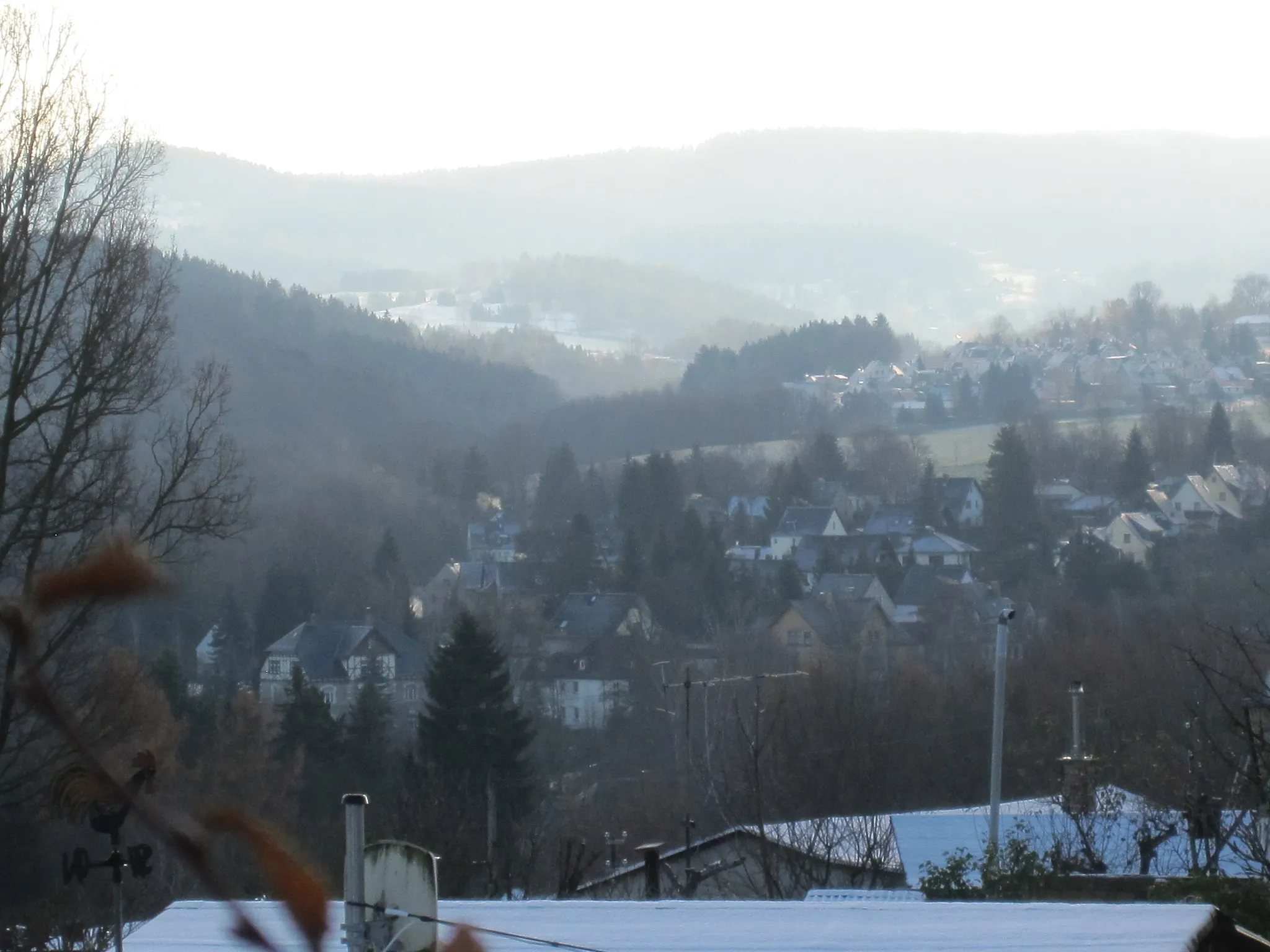
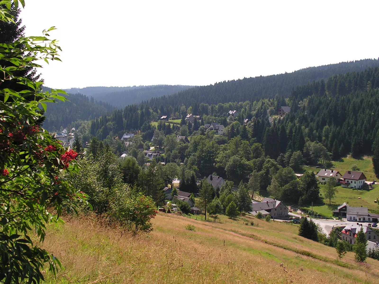
Start: Falkenstein/Vogtland City centerFalkenstein: Nature's Cycling Wonderland in Chemnitz
Falkenstein in Chemnitz, Germany is a cyclist's dream destination. The locality offers a combination of stunning natural landscapes and well-paved roads, perfect for road and gravel cycling. Cyclists can explore picturesque routes along the Mulde River and admire the beautiful cliffs and forested areas. Additionally, Falkenstein is home to the famous Erzgebirge Mountains, which provide challenging climbs and breathtaking scenery. With its variety of cycling options and captivating surroundings, Falkenstein receives a rank of 4.4 km
4 km
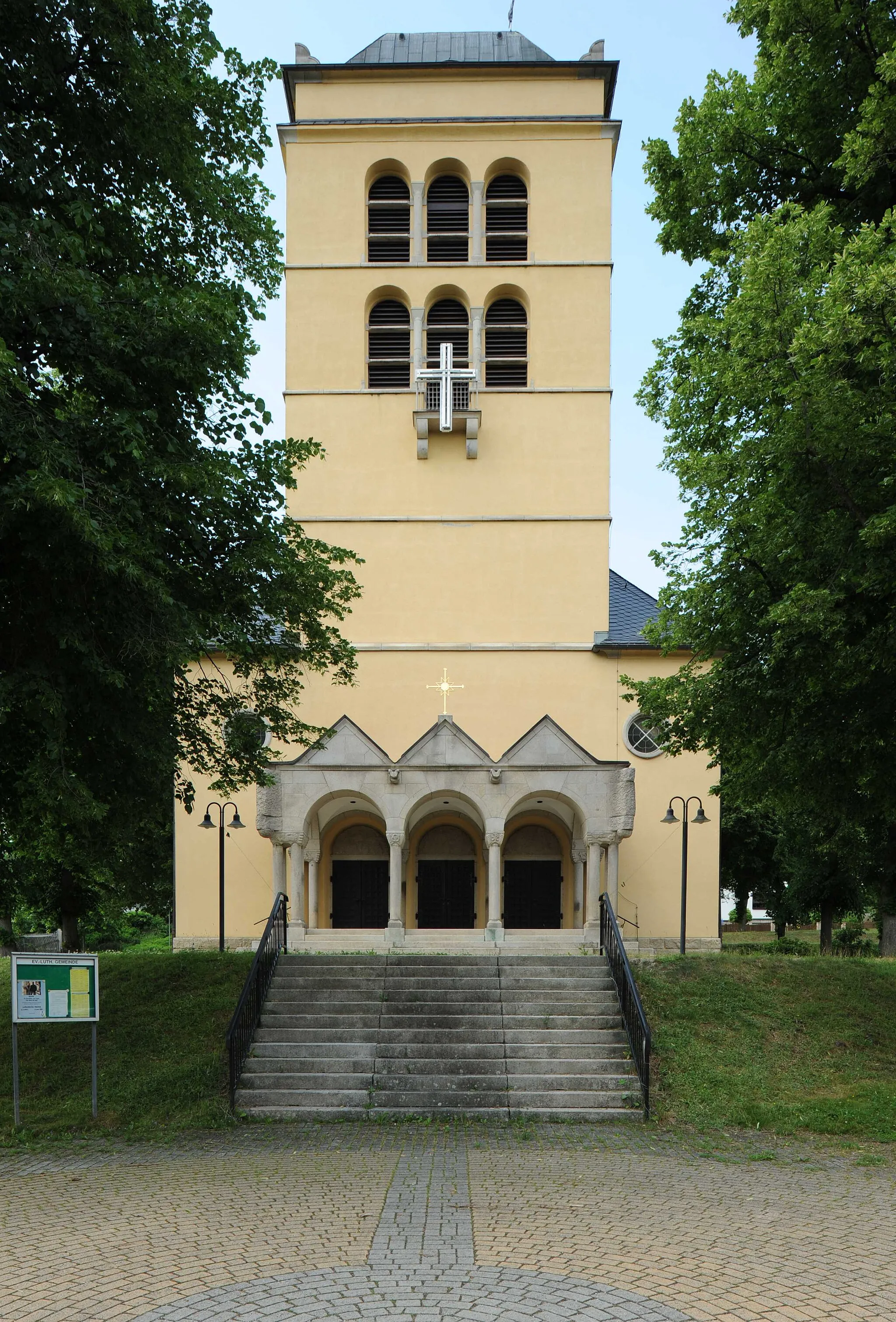
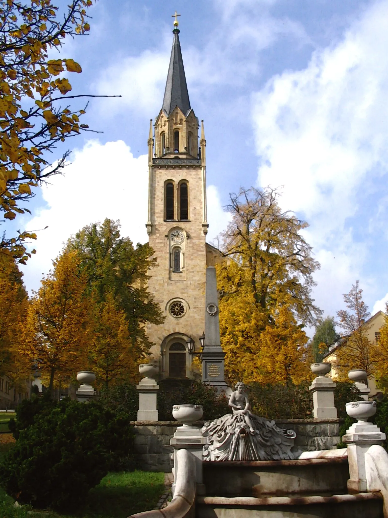
AuerbachTownAuerbach is a historic town with charming narrow streets and impressive architecture. Immerse yourself in the rich history and cultural heritage of the region.
17 km
17 km
Crinitzberg573 mPeakCrinitzberg is a picturesque village surrounded by rolling hills and dense forests. Enjoy the serenity of this beautiful countryside.
33 km
33 km
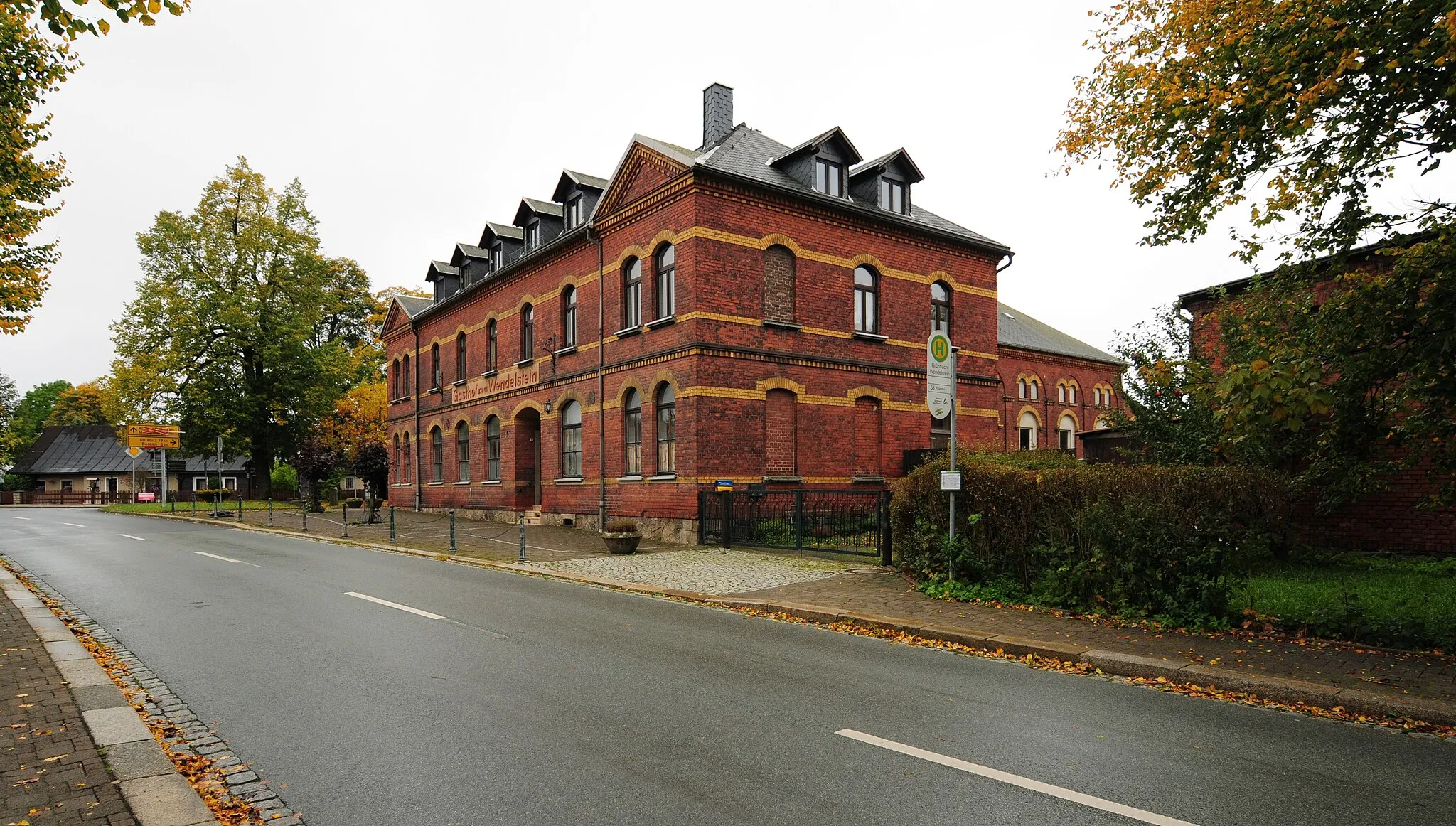
BockauVillageBockau is a hidden gem in the Ore Mountains, known for its stunning natural landscapes and charming architecture. Take a moment to soak in the breathtaking views.
39 km
39 km
Ochsenkopf823 mPeakOchsenkopf is a legendary summit in the Vogtland region, offering panoramic views of the surrounding hills and valleys. Prepare to be awe-struck by the beauty of nature.
56 km
56 km
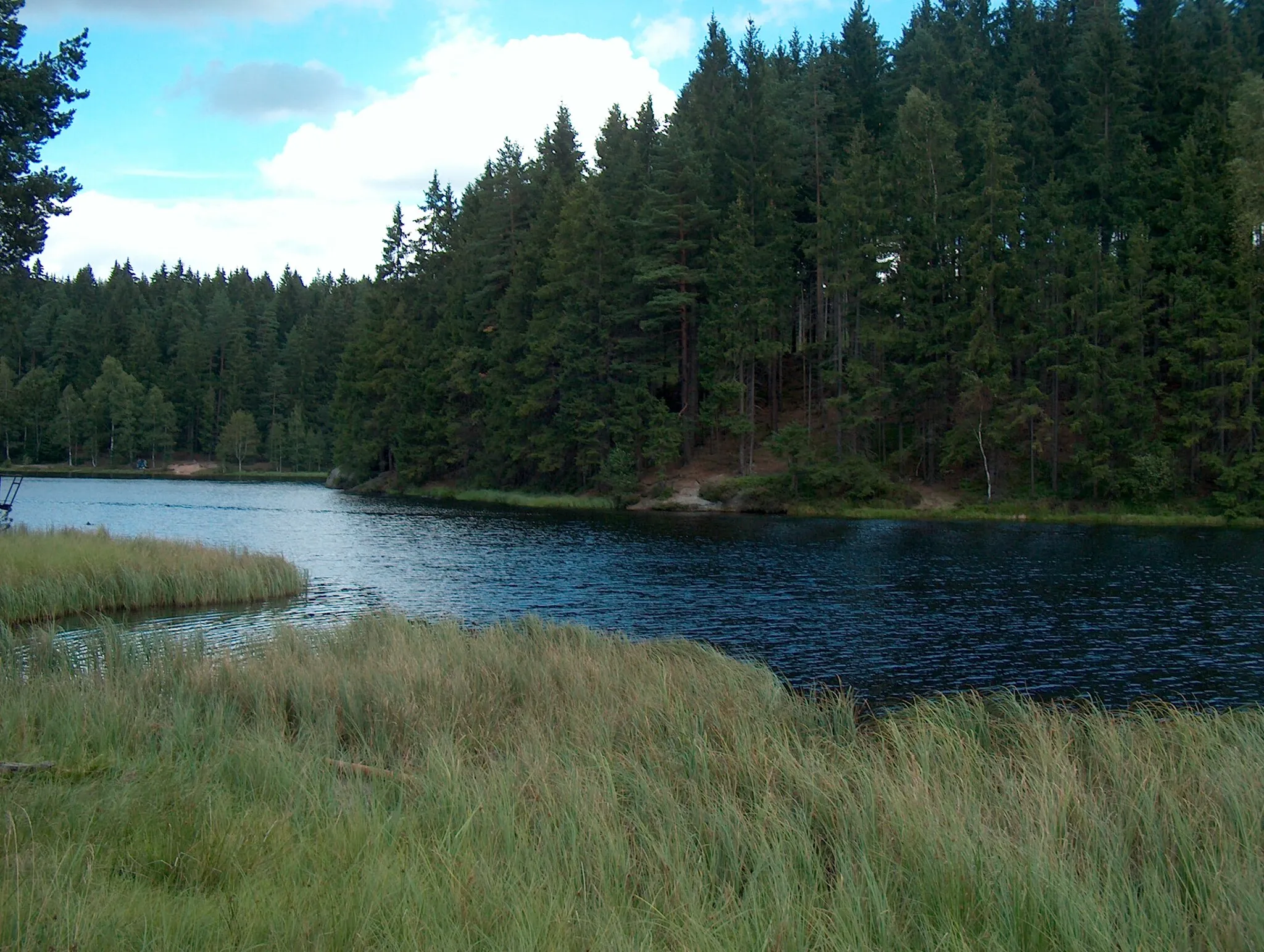
WildenthalVillageWildenthal is a small mountain village surrounded by dense forests and picturesque meadows. Enjoy the tranquility of this remote paradise.
61 km
61 km
Schneehübel974 mPeakSchneehübel is a popular winter sports destination with fantastic skiing and snowboarding opportunities. Take a moment to imagine the thrill of zipping down the slopes.
70 km
70 km
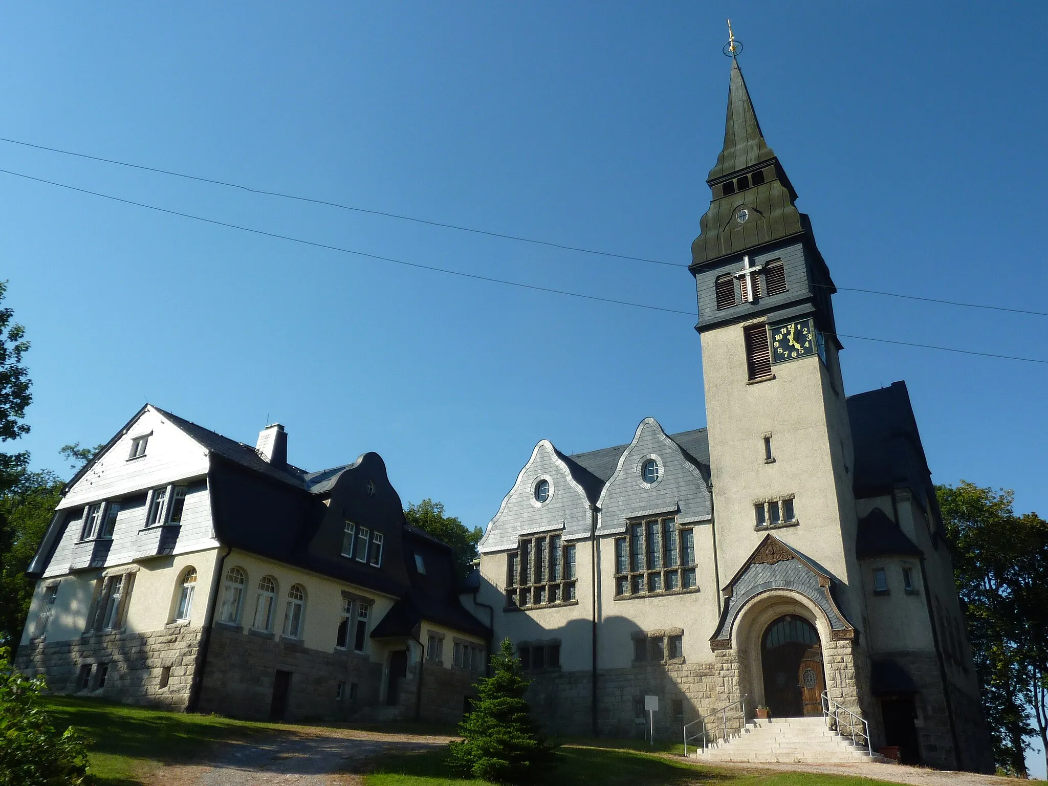
Morgenröthe-RautenkranzVillageMorgenröthe-Rautenkranz is a must-visit site for space enthusiasts, as it is the birthplace of German astronaut Sigmund Jähn. Explore the fascinating exhibits and learn about the history of space exploration.
75 km
75 km
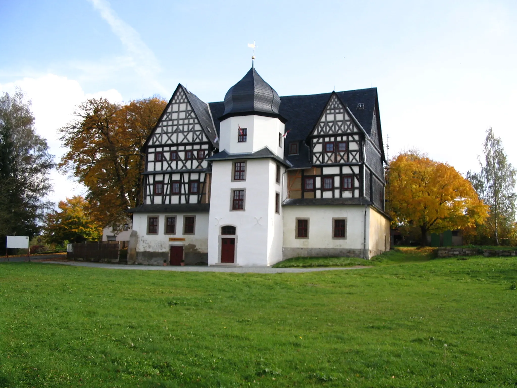
Thierberg785 mPeakThierberg is a medieval castle nestled atop a hill, commanding panoramic views of the surrounding countryside. Explore the ruins and imagine life in medieval times.
84 km
84 km
SchlossfelsenViewpointSchlossfelsen is an iconic rock formation overlooking the picturesque town of Falkenstein. Marvel at the natural beauty of this geological wonder.
84 km
84 km
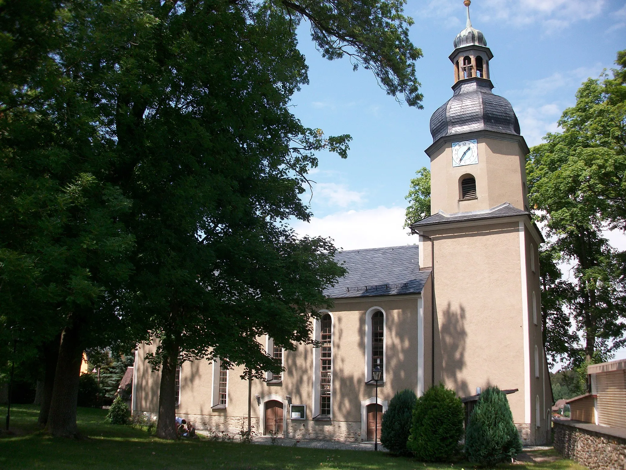
Falkenstein/VogtlandTownFalkenstein/Vogtland is the starting and ending point of this challenging route. Explore the town's historic center and enjoy the stunning views of the surrounding countryside.
84 km
84 km
Finish: Falkenstein/Vogtland City centerFalkenstein: Nature's Cycling Wonderland in Chemnitz
Cycling routes from Falkenstein:
Cycling routes nearby: