Historical Frauenstein Ride
A gravel cycling route starting from Rechenberg-Bienenmuehle
Explore the historical charm of Frauenstein
Map
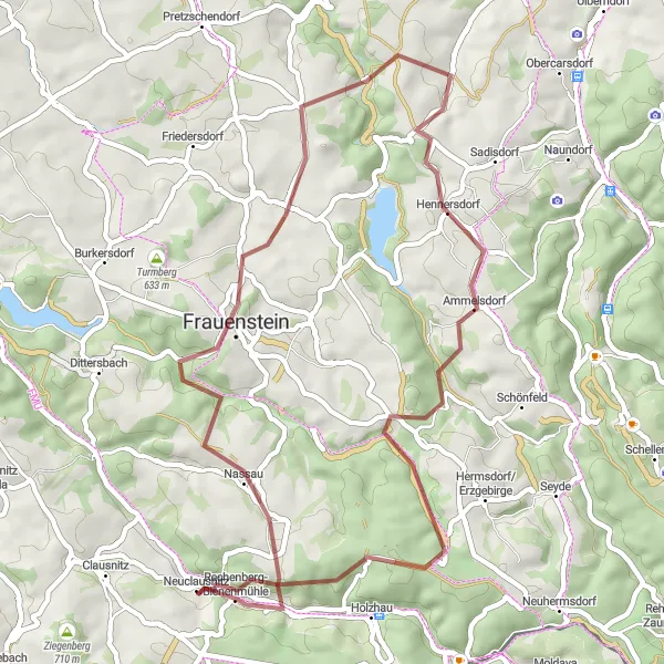
Discover the rich history and picturesque landscapes of Frauenstein, Germany on this 48-kilometer gravel cycling route. With an ascent of 1113 meters, this route provides a moderate challenge suitable for experienced amateur cyclists. Highlights along the way include Sandberg, a historic hill known for its stunning views, and Kahle Höhe, where you can enjoy panoramic vistas of the surrounding countryside. Immerse yourself in the traditional ambiance of Frauenstein and make a pit stop at the charming village of Ammelsdorf.
gravel
48 km
1113 m
Tough
Route profile
Highlights on the route
0 km
0 km
Start: Neuclausnitz Village centerRechenberg-Bienenmühle: Exhilarating rides in Rechenberg-Bienenmühle, Germany
Rechenberg-Bienenmühle, located in Chemnitz, Germany, is a fantastic destination for road and gravel cyclists. The region is characterized by its diverse terrain, encompassing flat sections, rolling hills, and challenging climbs. Cyclists can explore the charming countryside, ride alongside rivers, and soak in the beauty of this picturesque area. Rechenberg-Bienenmühle also serves as a starting point for several popular cycling routes, including the Ore Mountain Bike Trail. Overall, Rechenberg-Bienenmühle ranks as a 4 on the cyclist's perspective scale, offering varied and exhilarating cycling experiences.11 km
11 km
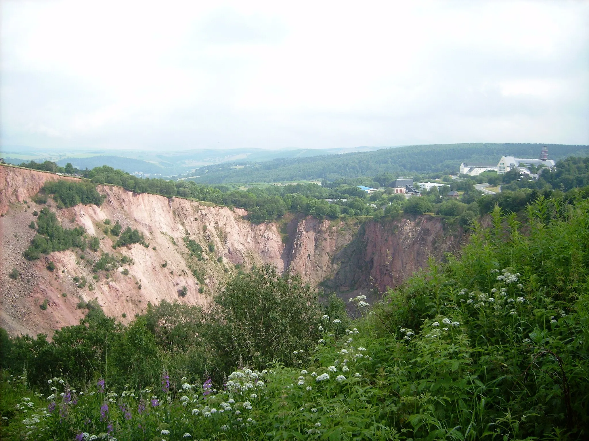
Sandberg678 mPeakSandberg is a historical hill offering breathtaking panoramic views of the surrounding landscape.
12 km
12 km
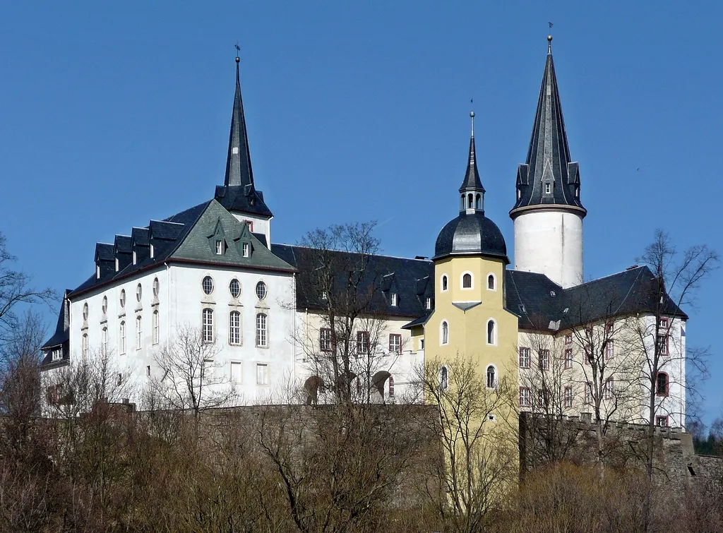
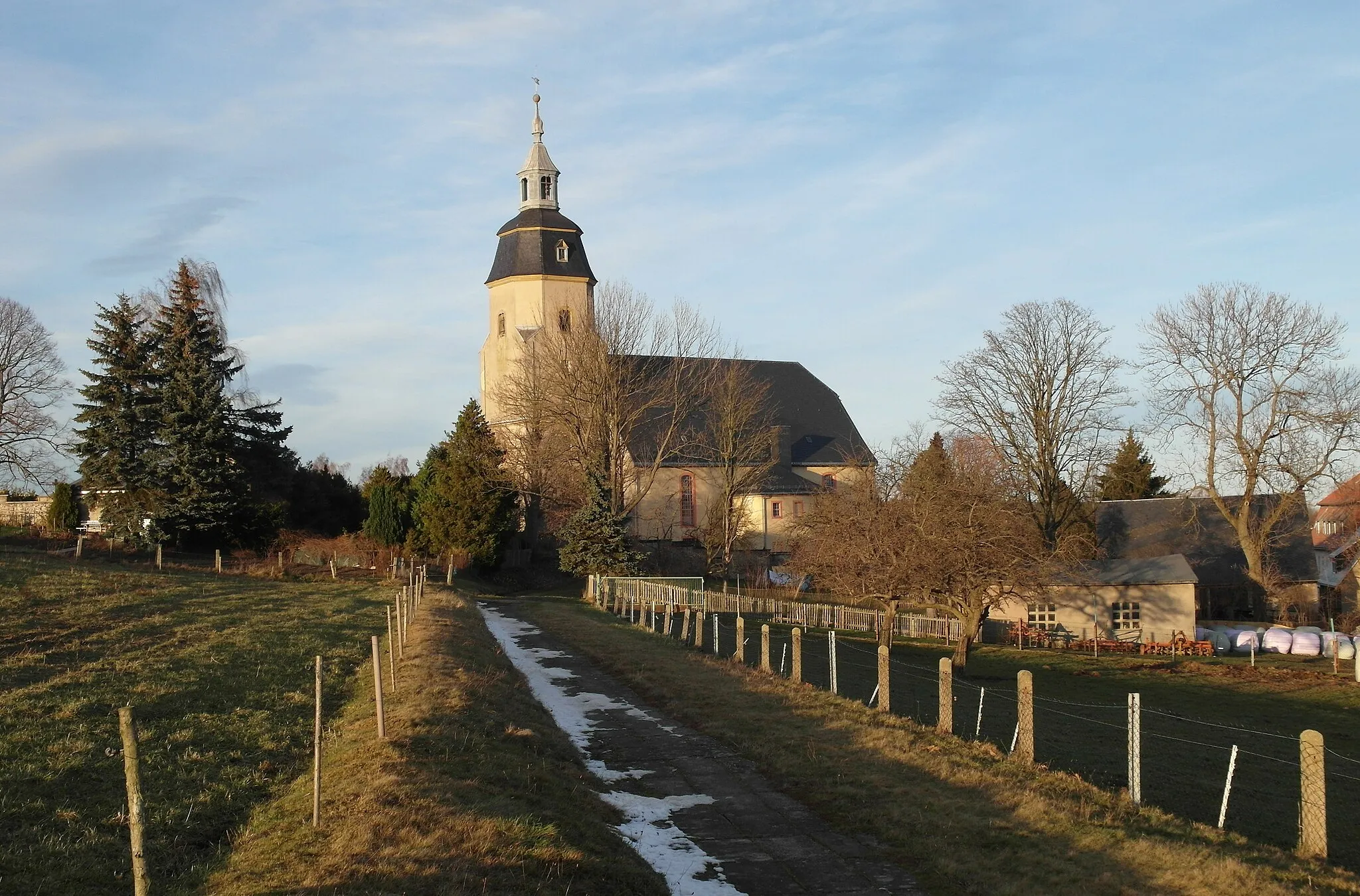
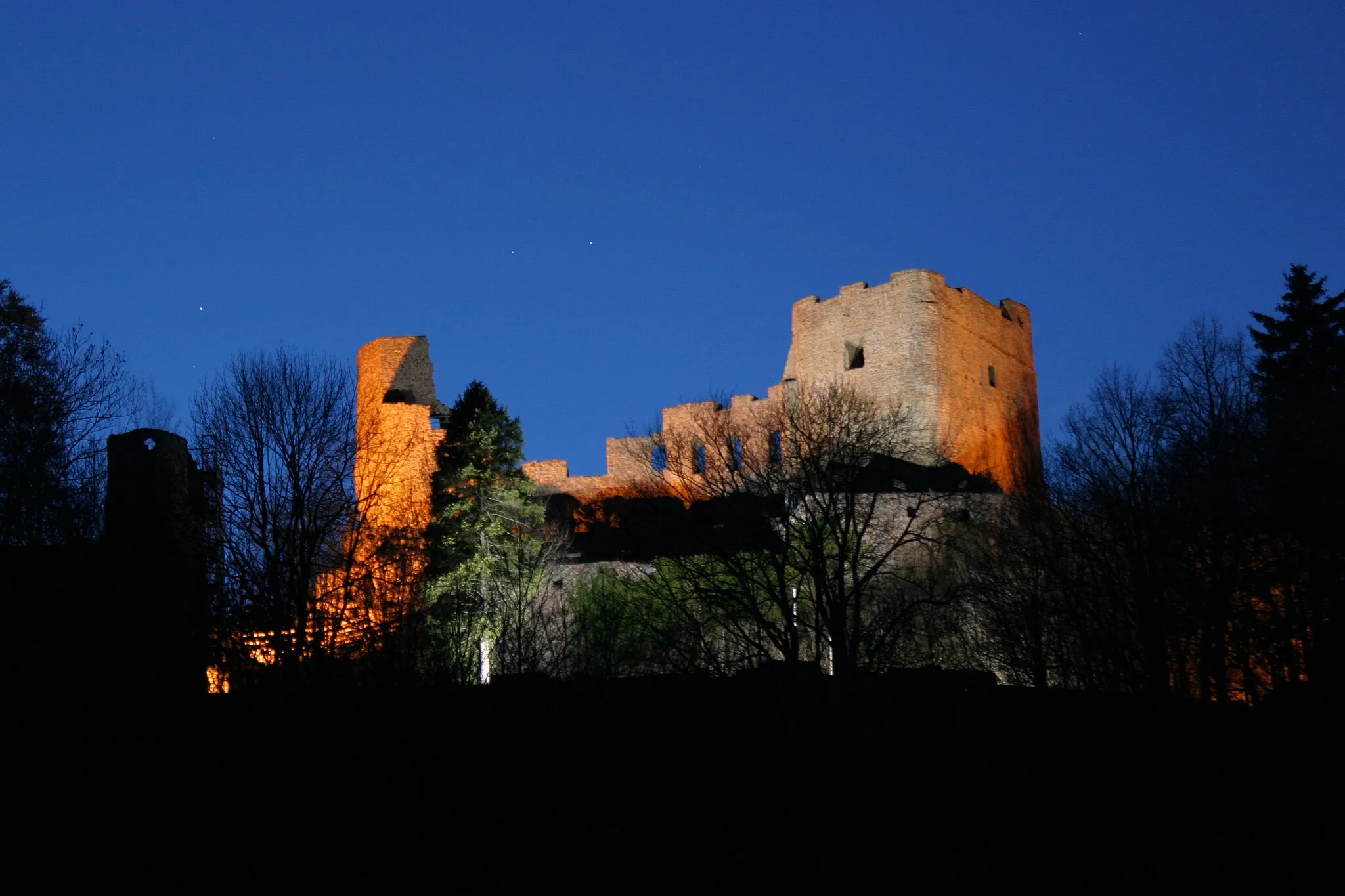
FrauensteinTownFrauenstein is a medieval town known for its well-preserved castle and charming old-town area.
25 km
25 km
Kahle Höhe589 mPeakKahle Höhe provides stunning vistas over the picturesque countryside surrounding Frauenstein.
31 km
31 km
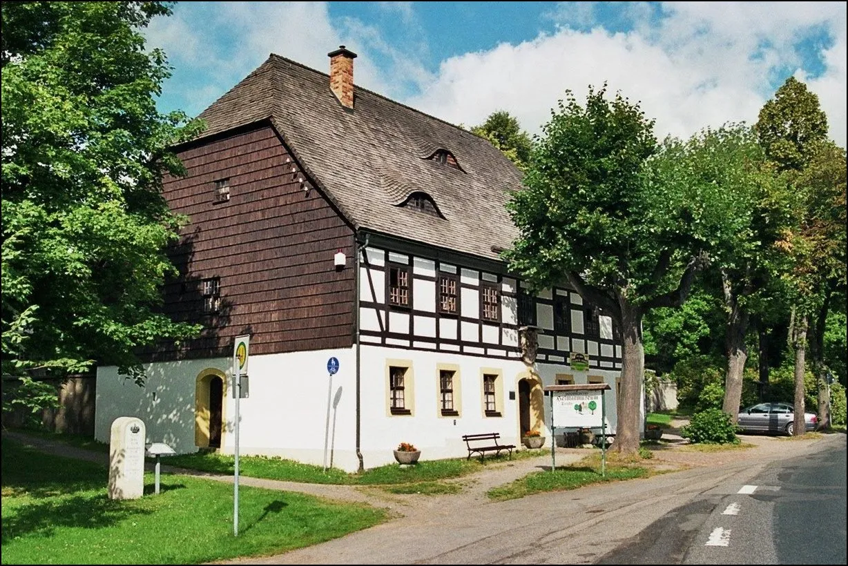
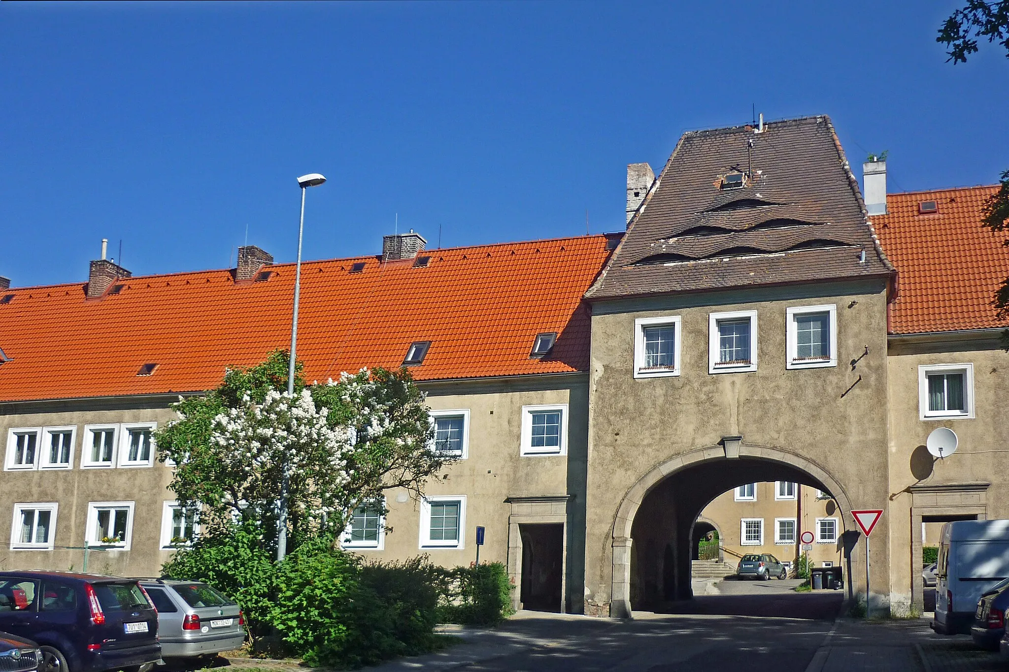
AmmelsdorfVillageAmmelsdorf is a quaint village with traditional architecture and a calming atmosphere, perfect for a rest stop.
41 km
41 km
Kannelberg805 mPeakKannelberg showcases the region's natural beauty with its rolling hills and peaceful surroundings.
47 km
47 km
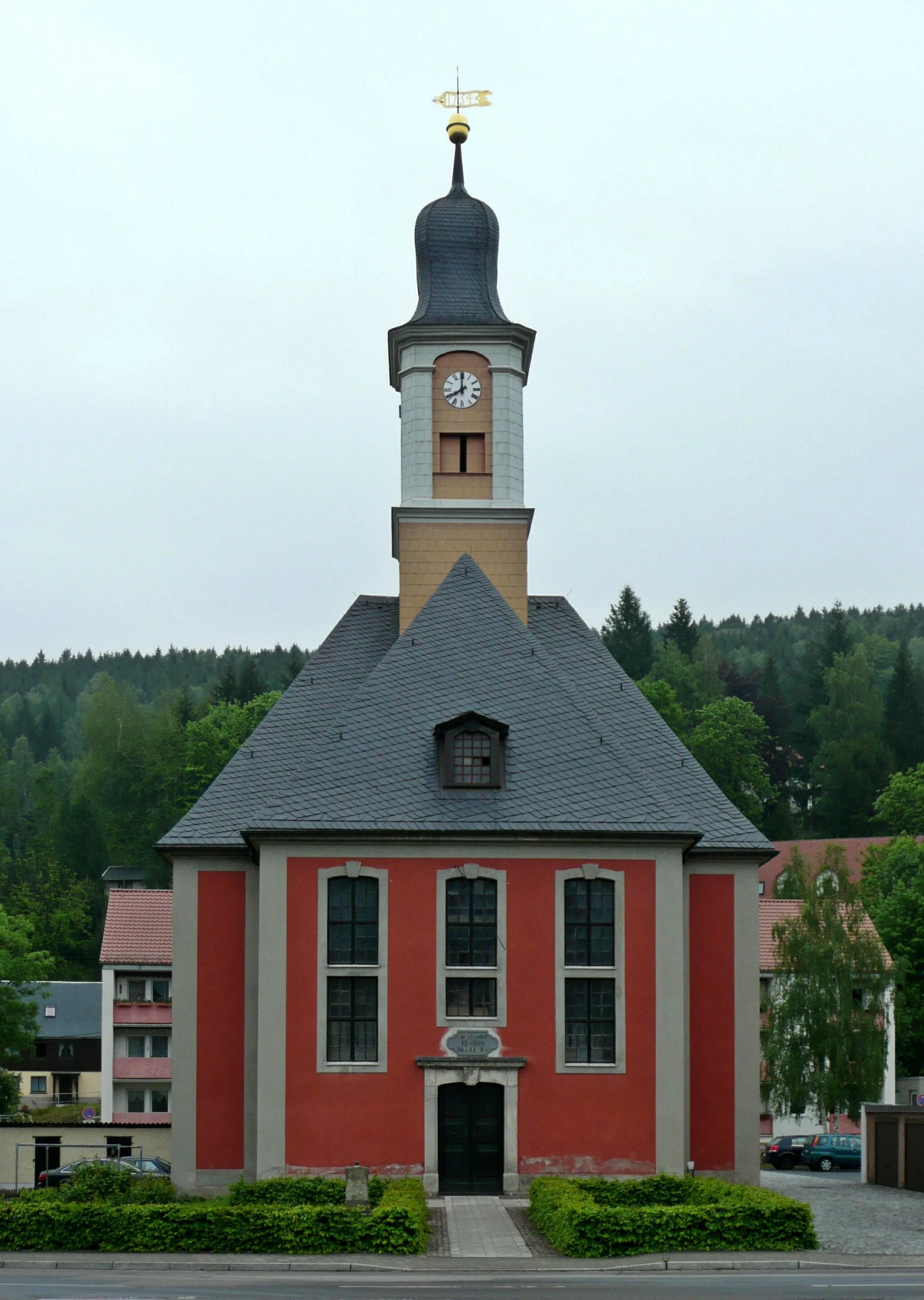
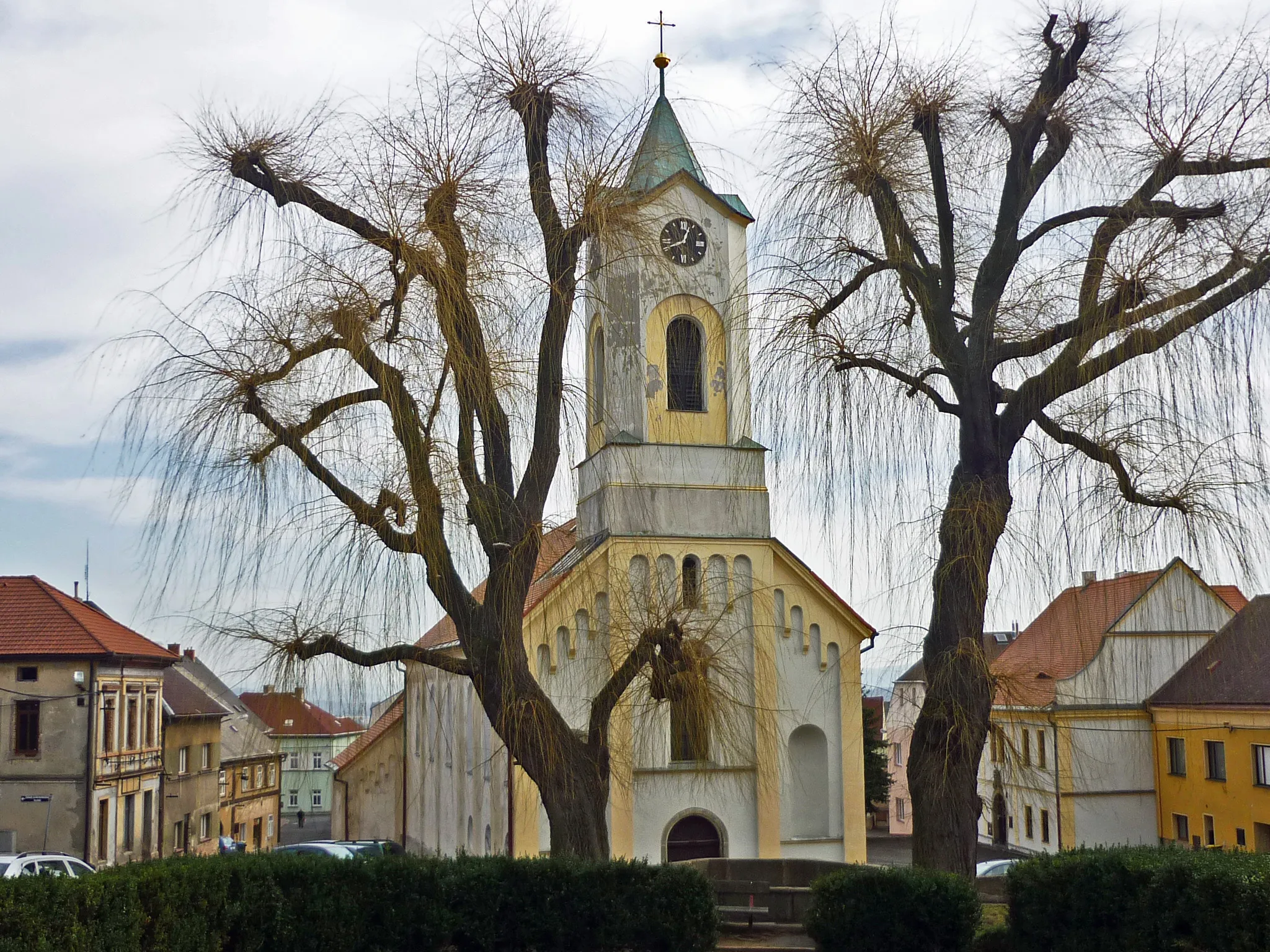
Rechenberg-BienenmühleVillageRechenberg-Bienenmühle, the starting and ending point of the route, is a charming town with a rich history and beautiful landscapes.
48 km
48 km
Finish: Neuclausnitz Village centerRechenberg-Bienenmühle: Exhilarating rides in Rechenberg-Bienenmühle, Germany
Cycling routes from Rechenberg-Bienenmuehle:
Rechenberg-Bienenmühle Circuit Holzhau Adventure Loop Enchanting Pretzschendorf Ride Historical Frauenstein Ride Nassau Adventure Challenge Exploring the Ore Mountains Challenging the Majestic Peaks Adventures in the Ore Mountains Exploring the Beauty of Saxony Tour de Ore Mountains Rechenberg-Bienenmühle to Clausnitz Loop Rechenberg-Bienenmühle to Horní Ves Loop Rechenberg-Bienenmühle to Sauerberg Loop
Cycling routes nearby: