Gravel Adventure through the Ore Mountains
A gravel cycling route starting from Sosa
A thrilling off-road journey with stunning views
Map
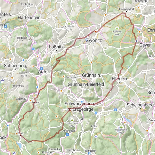
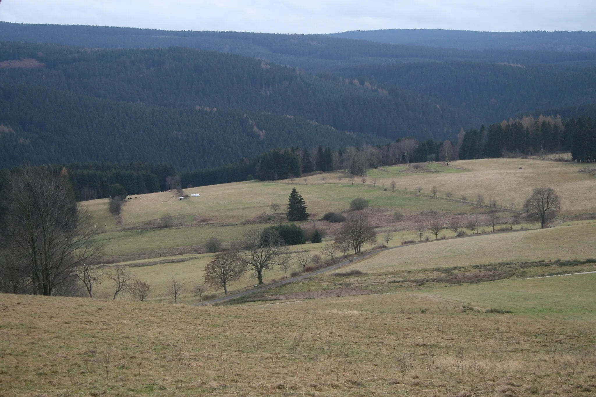
This round-trip cycling route takes you through the beautiful landscapes of the Ore Mountains, offering a mix of challenging gravel trails and picturesque scenery. It is an adventure suitable for experienced cyclists who enjoy off-road terrain. Along the way, you will encounter historical highlights, including the Bockau mine, the Heidelsberg castle ruins, and the impressive Huthübel mountain. The route covers a distance of 69 km and involves a total ascent of 1531 meters.
gravel
69 km
1531 m
Tough
Route profile
Highlights on the route
0 km
0 km
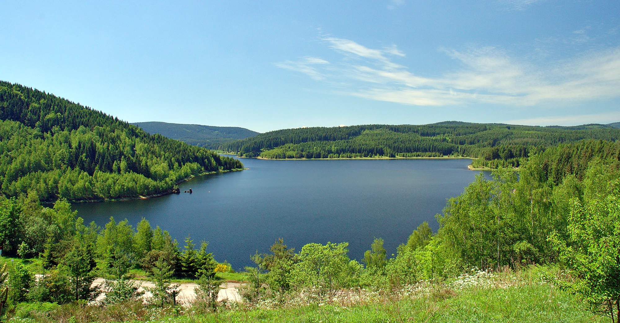
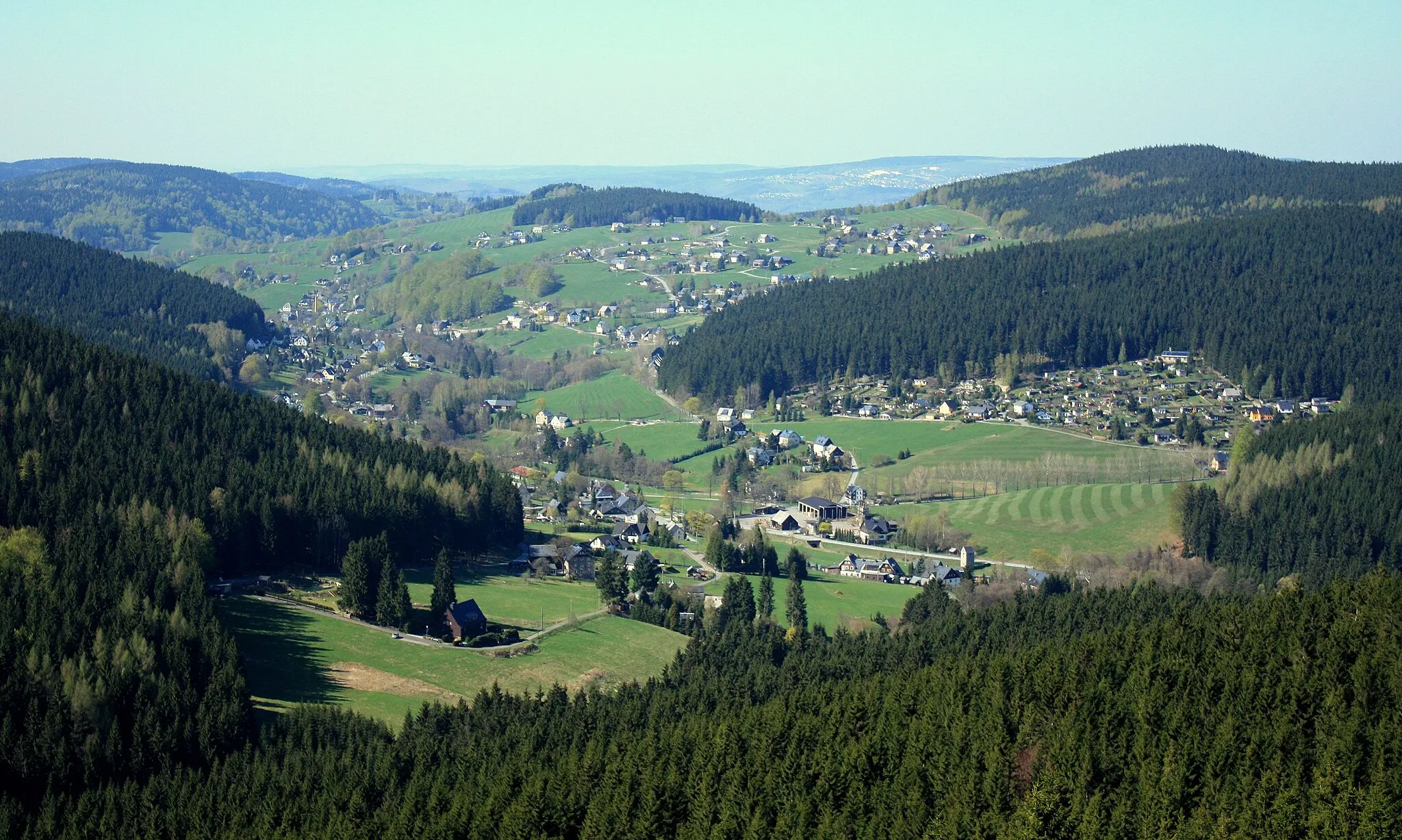
Start: Sosa Village centerSosa: Discover the scenic routes and challenging climbs in Germany's Ore Mountains.
Sosa is a locality in the Chemnitz region of Germany. As a cyclist, Sosa offers a mix of road and gravel routes suitable for various skill levels. The region boasts well-maintained cycling infrastructure and a network of paths that make exploring the picturesque countryside a delightful experience. Cyclists can enjoy the challenging climbs in the nearby Ore Mountains, including the famous Fichtelberg ascent. For gravel enthusiasts, there are also plenty of off-road trails to explore. Sosa is a great location for both local cyclists and tourists looking for an active cycling holiday.7 km
7 km
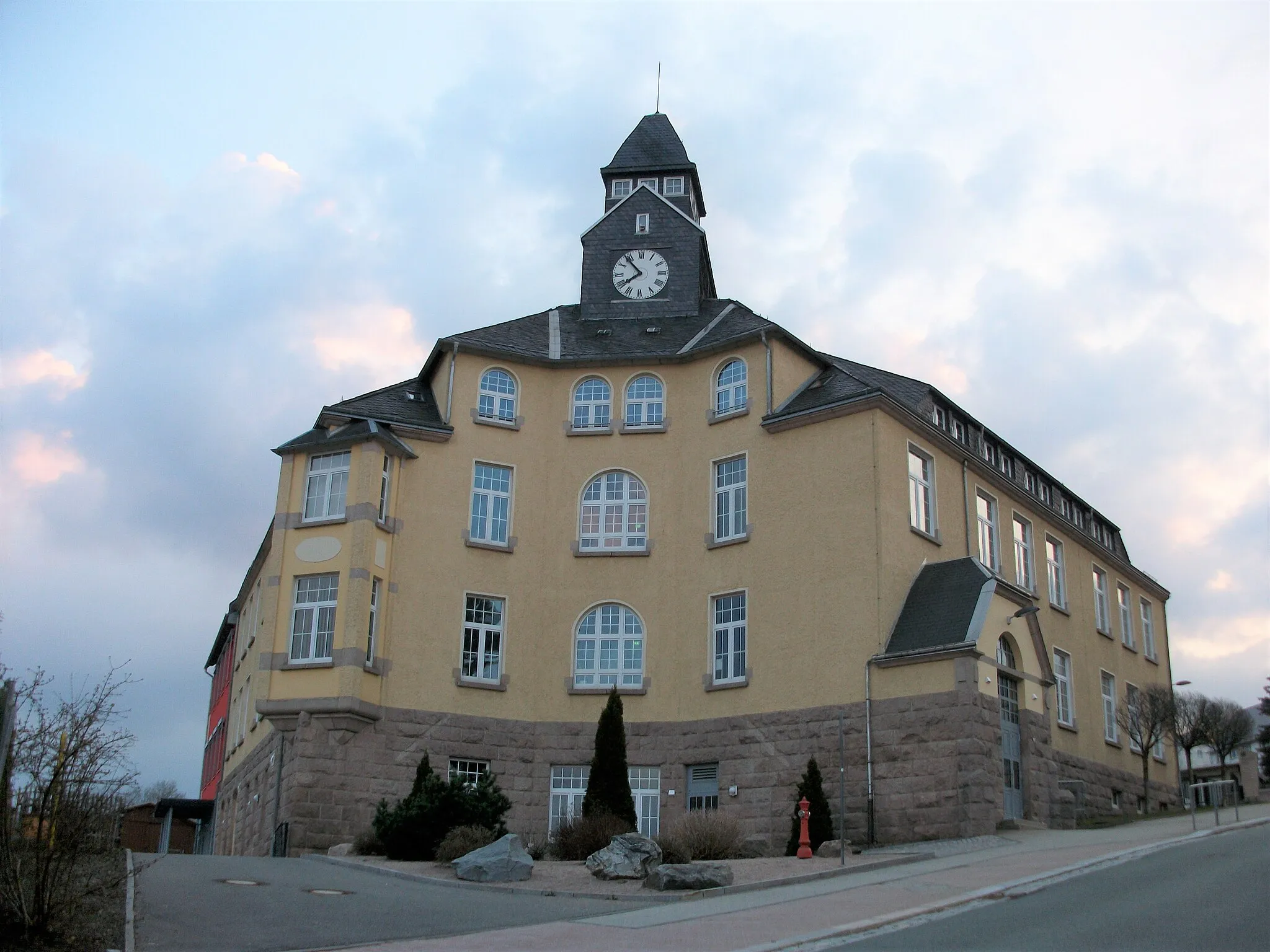
BockauVillageVisit the Bockau mine, which played a significant role in the region's mining history.
11 km
11 km
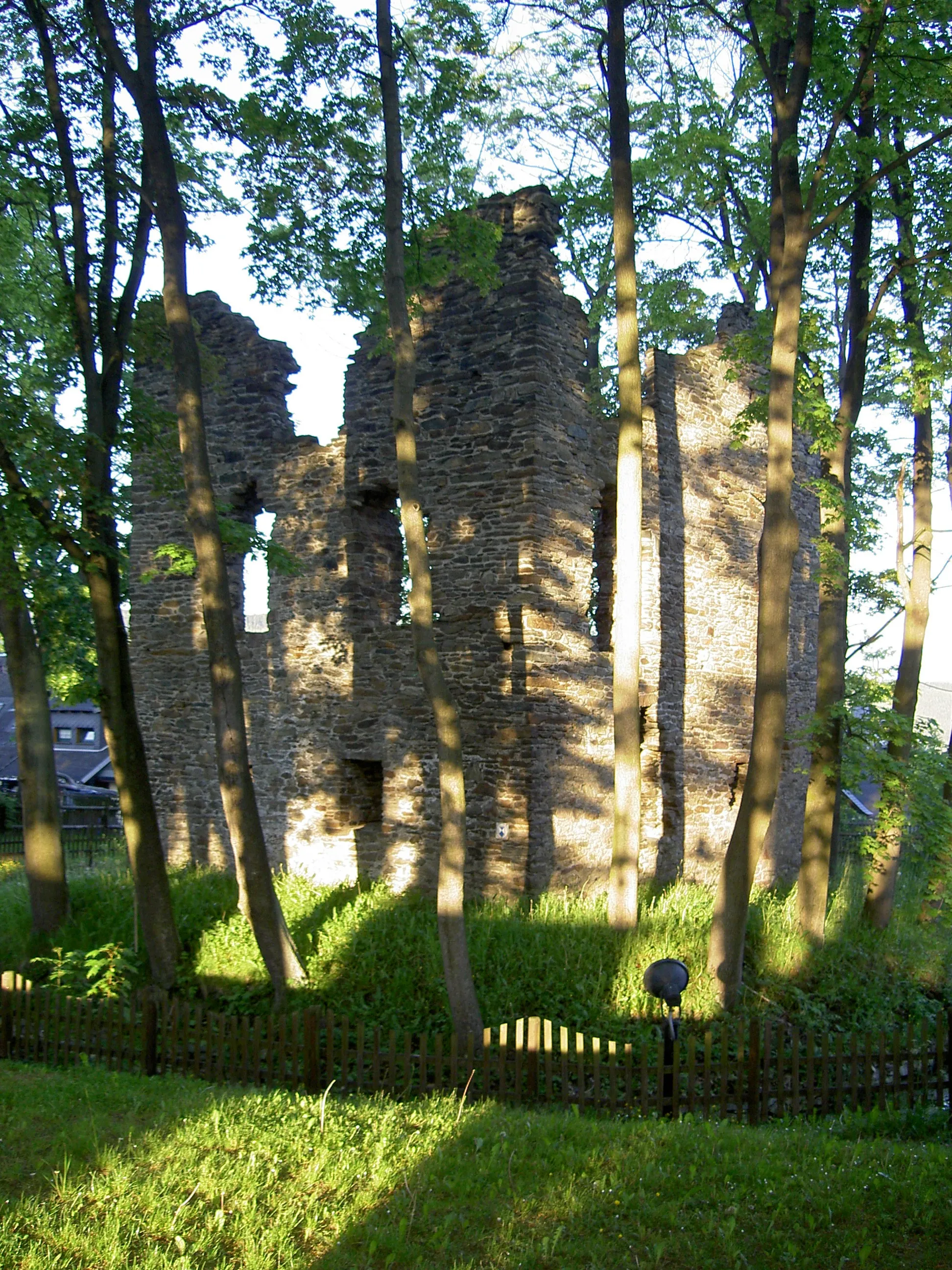
Heidelsberg522 mPeakExplore the magical ruins of Heidelsberg Castle, perched on a hilltop with panoramic views.
17 km
17 km
Hirnschädel574 mPeakAdmire the unique rock formation known as Hirnschädel.
20 km
20 km
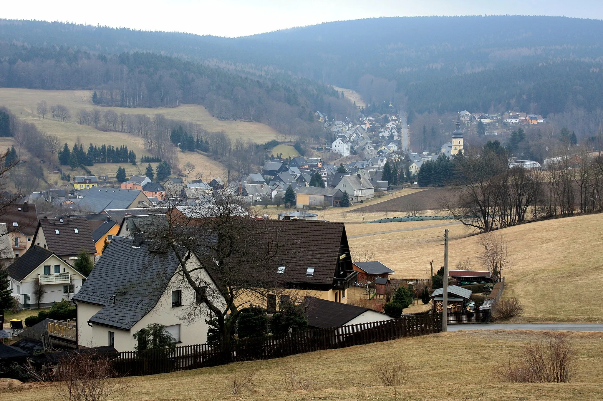
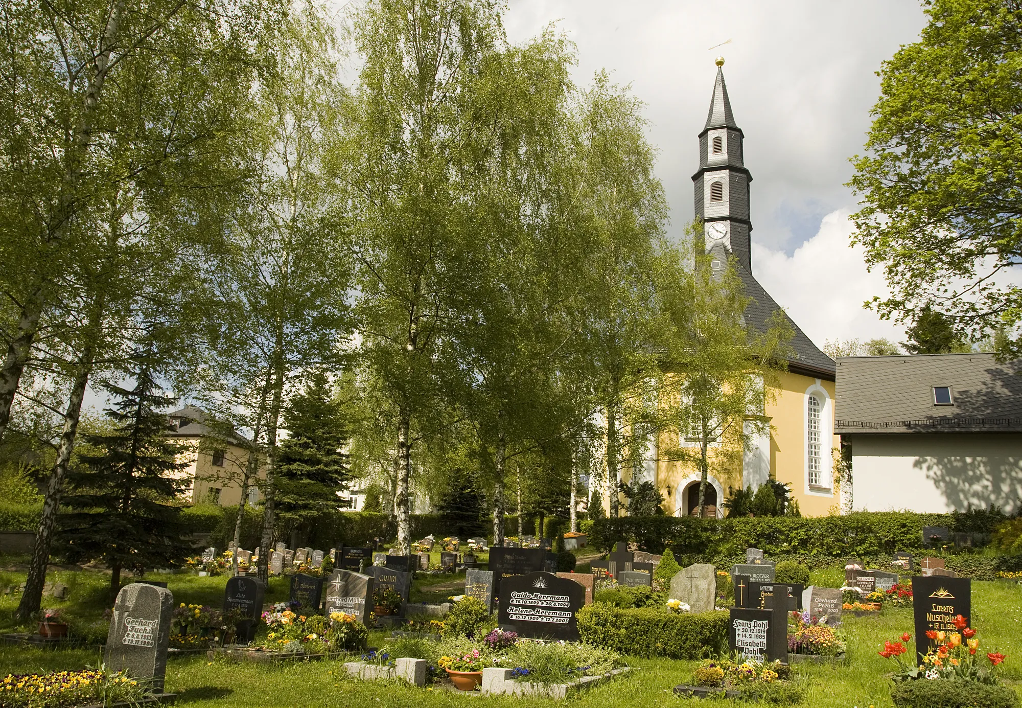
DittersdorfSub-urbDiscover the charming village of Dittersdorf, known for its traditional architecture.
31 km
31 km
Huthübel587 mPeakReach the summit of Huthübel, the highest point of the route, and enjoy breathtaking views.
32 km
32 km
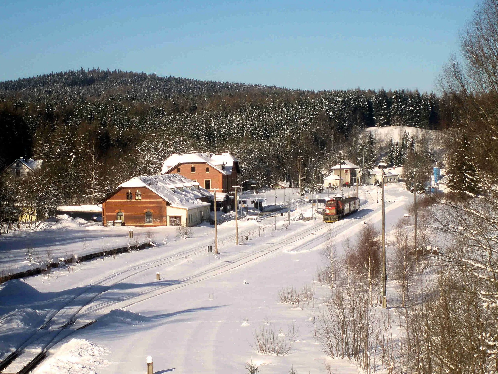
HormersdorfVillagePass through Hormersdorf, a historic village with picturesque houses and a peaceful atmosphere.
46 km
46 km
ElterleinTownStop by Elterlein, a small town famous for its beautiful Christmas decorations.
52 km
52 km
Knochen551 mPeakMarvel at the striking rock formation known as Knochen.
61 km
61 km
Magnetenberg686 mPeakVisit Magnetenberg, an area known for its strong magnetic fields.
69 km
69 km
Weihnachtspyramide SosaAttractionEnd your journey at the iconic Weihnachtspyramide Sosa, a festive symbol of the region.
69 km
69 km
Finish: Sosa Village centerSosa: Discover the scenic routes and challenging climbs in Germany's Ore Mountains.
Cycling routes from Sosa:
Scenic Road Cycling Route in the Ore Mountains Challenging Road Cycling Adventure Road Cycling Tour through the Ore Mountains Wildenthal - Olověný vrch Gravel Adventure through the Ore Mountains Epic Road Cycling Adventure in the Ore Mountains Eibenstock - Wolfsgrün Eibenstock - Wolfsgrün Steinbach - Sosa Erzgebirge Gravel Adventure Untouched Gravel Trail Ore Mountains Loop Hidden Gems Gravel Ride
Cycling routes nearby: