Steinbach - Sosa
A gravel cycling route starting from Sosa
Gravel ride from Steinbach to Sosa
Map
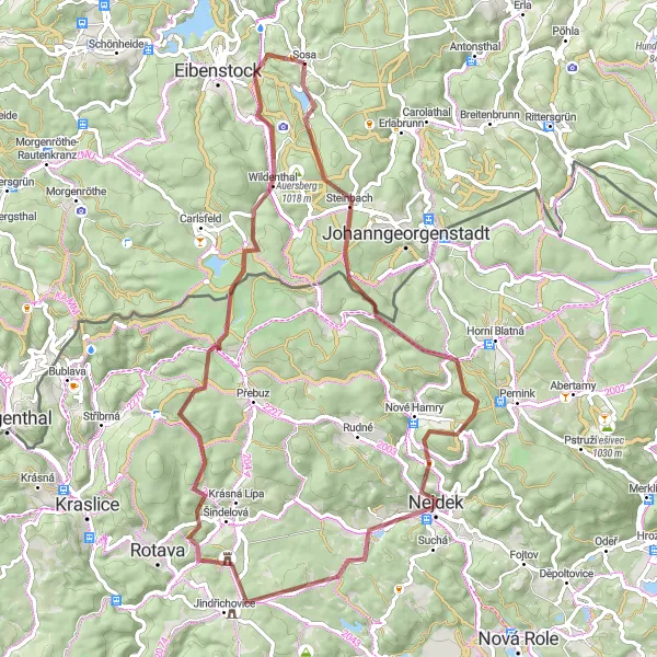
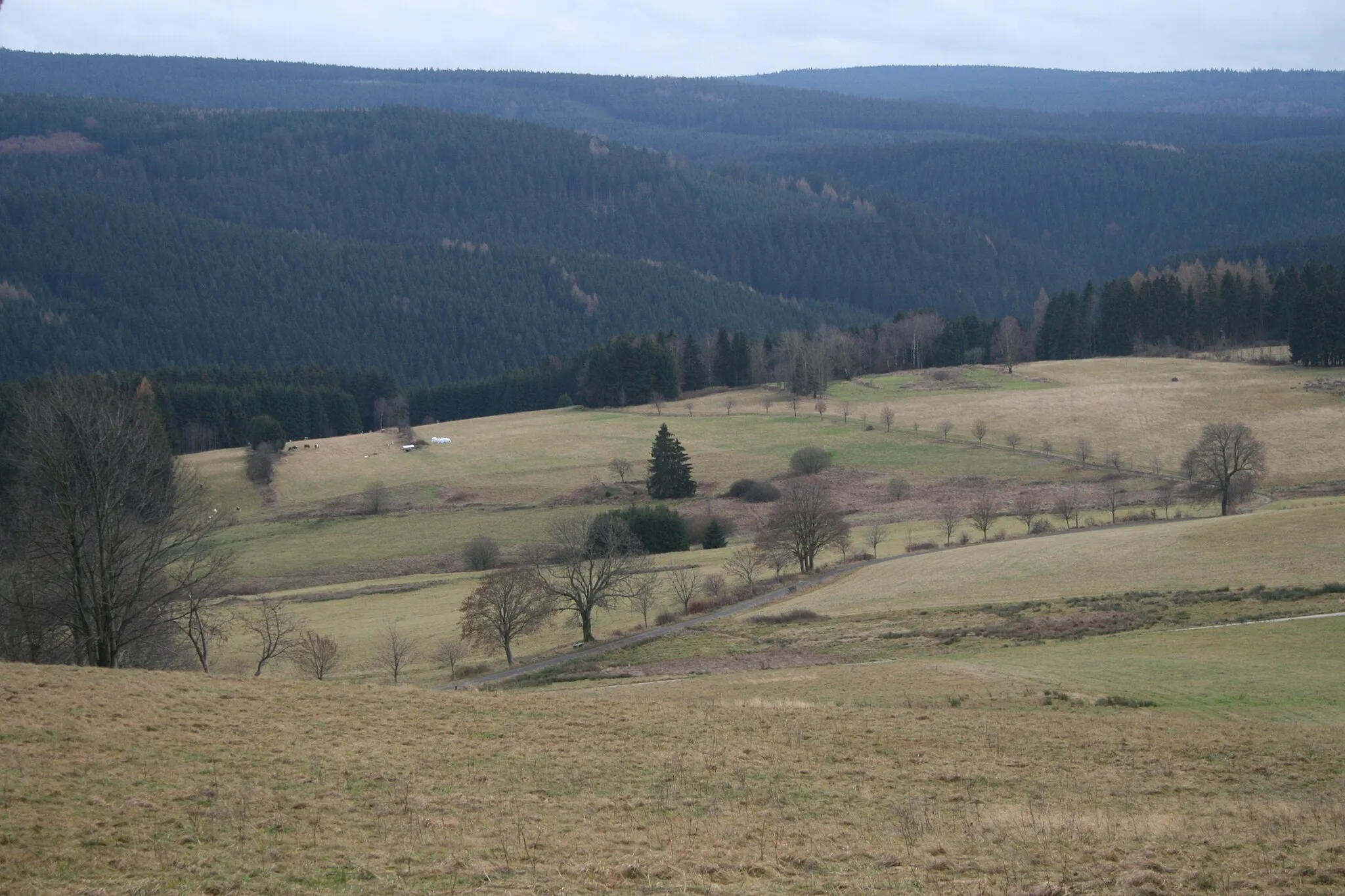
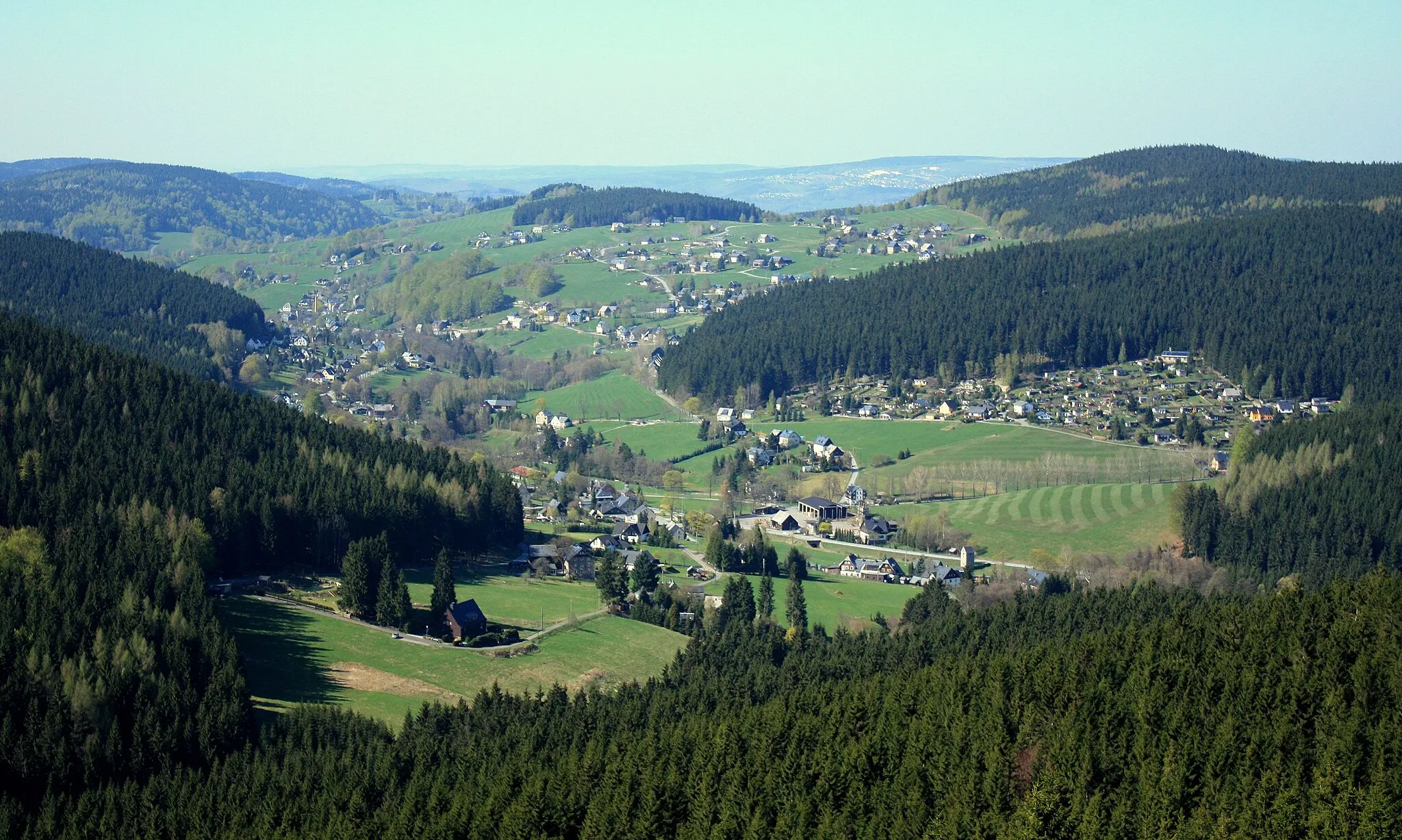
Starting in Steinbach, this gravel route takes you to Sosa, offering breathtaking landscapes and challenging terrains. With a distance of 71 km and an ascent of 1470 meters, this route is suitable for experienced cyclists. The highlights along the way include the scenic Buchschachtelberg, the picturesque village of Nejdek, and the stunning Větrník. Overall, this gravel ride provides an exciting adventure through beautiful nature and cultural landmarks.
gravel
71 km
1470 m
Tough
Route profile
Highlights on the route
0 km
0 km
Start: Sosa Village centerSosa: Discover the scenic routes and challenging climbs in Germany's Ore Mountains.
Sosa is a locality in the Chemnitz region of Germany. As a cyclist, Sosa offers a mix of road and gravel routes suitable for various skill levels. The region boasts well-maintained cycling infrastructure and a network of paths that make exploring the picturesque countryside a delightful experience. Cyclists can enjoy the challenging climbs in the nearby Ore Mountains, including the famous Fichtelberg ascent. For gravel enthusiasts, there are also plenty of off-road trails to explore. Sosa is a great location for both local cyclists and tourists looking for an active cycling holiday.8 km
8 km
SteinbachVillageSteinbach is a charming village with traditional architecture and surrounded by picturesque nature.
11 km
11 km
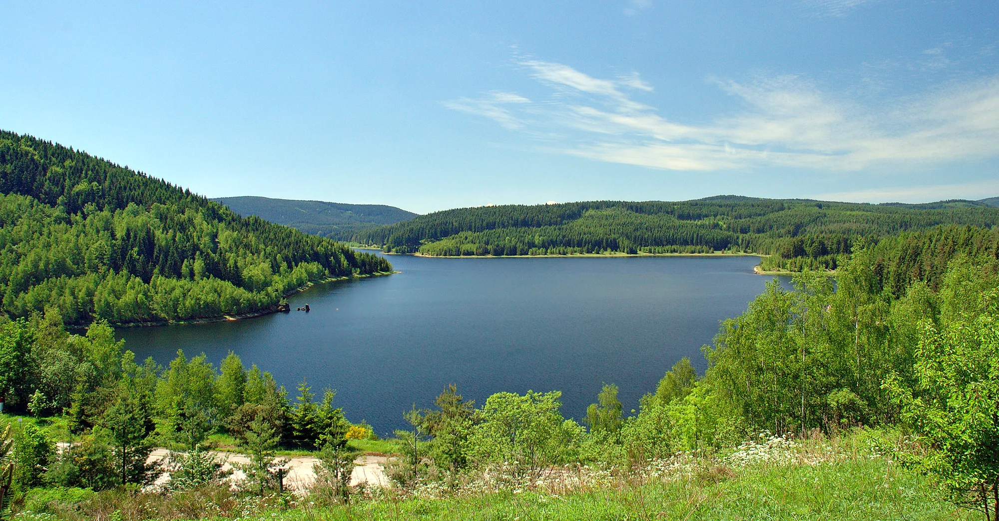
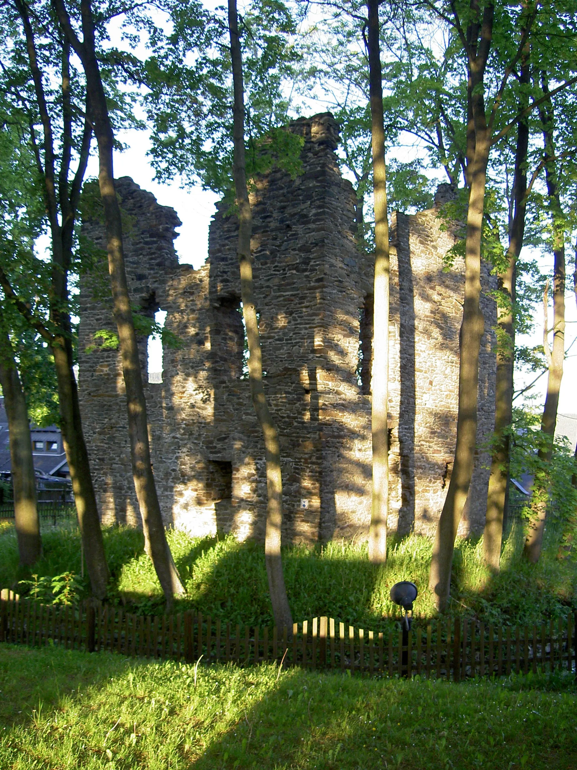
Buchschachtelberg973 mPeakBuchschachtelberg is a natural landmark offering panoramic views of the surrounding region and a peaceful atmosphere.
22 km
22 km
Tisovský vrch976 mPeak27 km
27 km
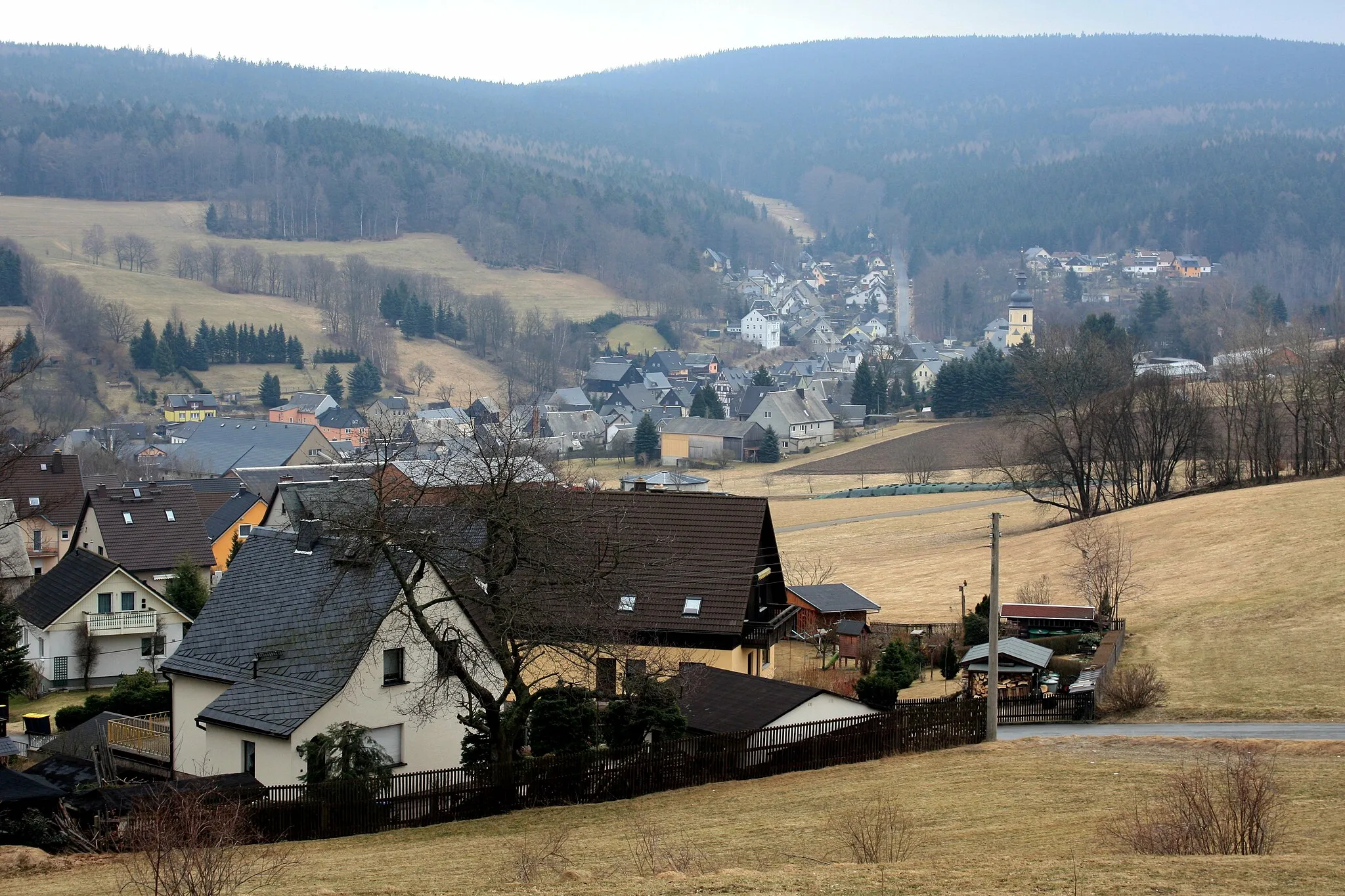
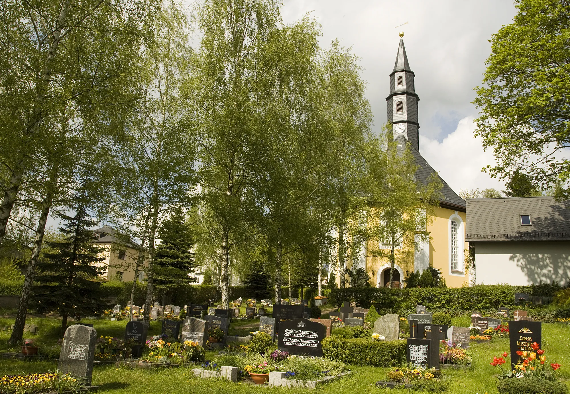
NejdekTownNejdek is a picturesque village known for its preserved architecture and historical sites.
36 km
36 km
Větrník706 mPeakVětrník is a natural lookout point offering stunning vistas of the surrounding mountains and forests.
40 km
40 km
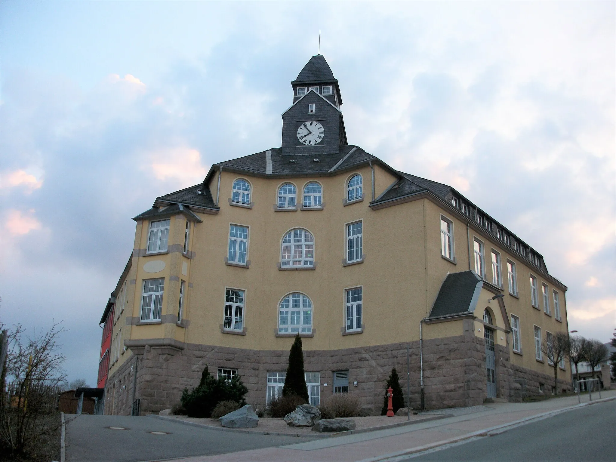
FavoritCastleFavorit is a quaint village with a peaceful atmosphere and beautiful countryside scenery.
56 km
56 km
Stangenhöhe964 mPeakStangenhöhe is a popular destination for its panoramic views and opportunities for outdoor activities like hiking and cycling.
63 km
63 km
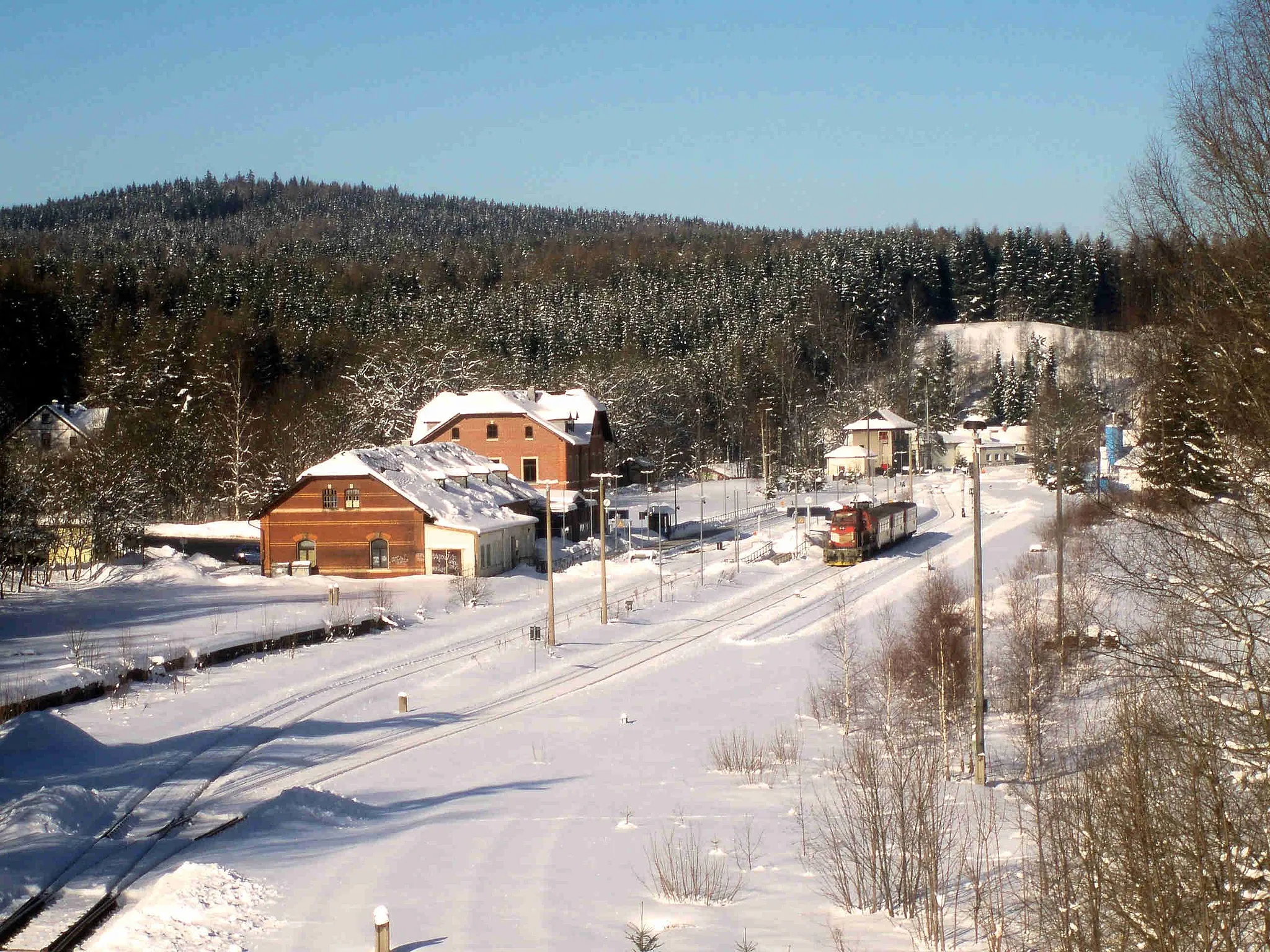
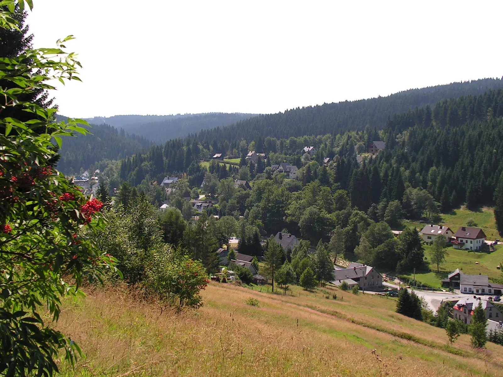
WildenthalVillageWildenthal offers breathtaking landscapes and serves as a starting point for various outdoor adventures.
71 km
71 km
Dürrer Berg643 mPeakDürrer Berg is a legendary climb known for its steep grades and testing routes, attracting both professional and amateur cyclists.
71 km
71 km
SosaVillageSosa is a must-visit spot for cyclists, offering a challenging climb and rewarding views of the region's natural beauty.
71 km
71 km
Finish: Sosa Village centerSosa: Discover the scenic routes and challenging climbs in Germany's Ore Mountains.
Cycling routes from Sosa:
Scenic Road Cycling Route in the Ore Mountains Challenging Road Cycling Adventure Road Cycling Tour through the Ore Mountains Wildenthal - Olověný vrch Gravel Adventure through the Ore Mountains Epic Road Cycling Adventure in the Ore Mountains Eibenstock - Wolfsgrün Eibenstock - Wolfsgrün Steinbach - Sosa Erzgebirge Gravel Adventure Untouched Gravel Trail Ore Mountains Loop Hidden Gems Gravel Ride
Cycling routes nearby: