Gravel and Nature
A gravel cycling route starting from Bad Vilbel
Experience nature at its best on this gravel cycling route near Darmstadt.
Map
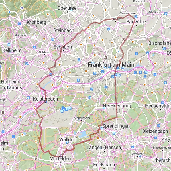
Immerse yourself in the natural beauty of the region on this 77km gravel cycling route with 385m of ascent. Discover picturesque forests, tranquil lakes, and hidden gems along the way.
gravel
77 km
385 m
Tough
Route profile
Highlights on the route
0 km
0 km
Start: Massenheim Village centerBad Vilbel: Discovering the scenic roads and historical sites of Bad Vilbel.
Bad Vilbel, located in Darmstadt, Germany, is a delightful locality for road and gravel cyclists. Situated in a scenic region with vineyards and forests, Bad Vilbel offers a diverse range of cycling opportunities. Cyclists can enjoy the well-paved roads that wind through charming villages and historical sites. The surrounding hills provide challenging climbs for those seeking a workout. Cyclists can also explore the nearby Grube Messel, a UNESCO World Heritage Site, known for its fossil-rich pit mine. Bad Vilbel is a cycling-friendly area with bike-friendly establishments, including cafes and bike rental shops.2 km
2 km
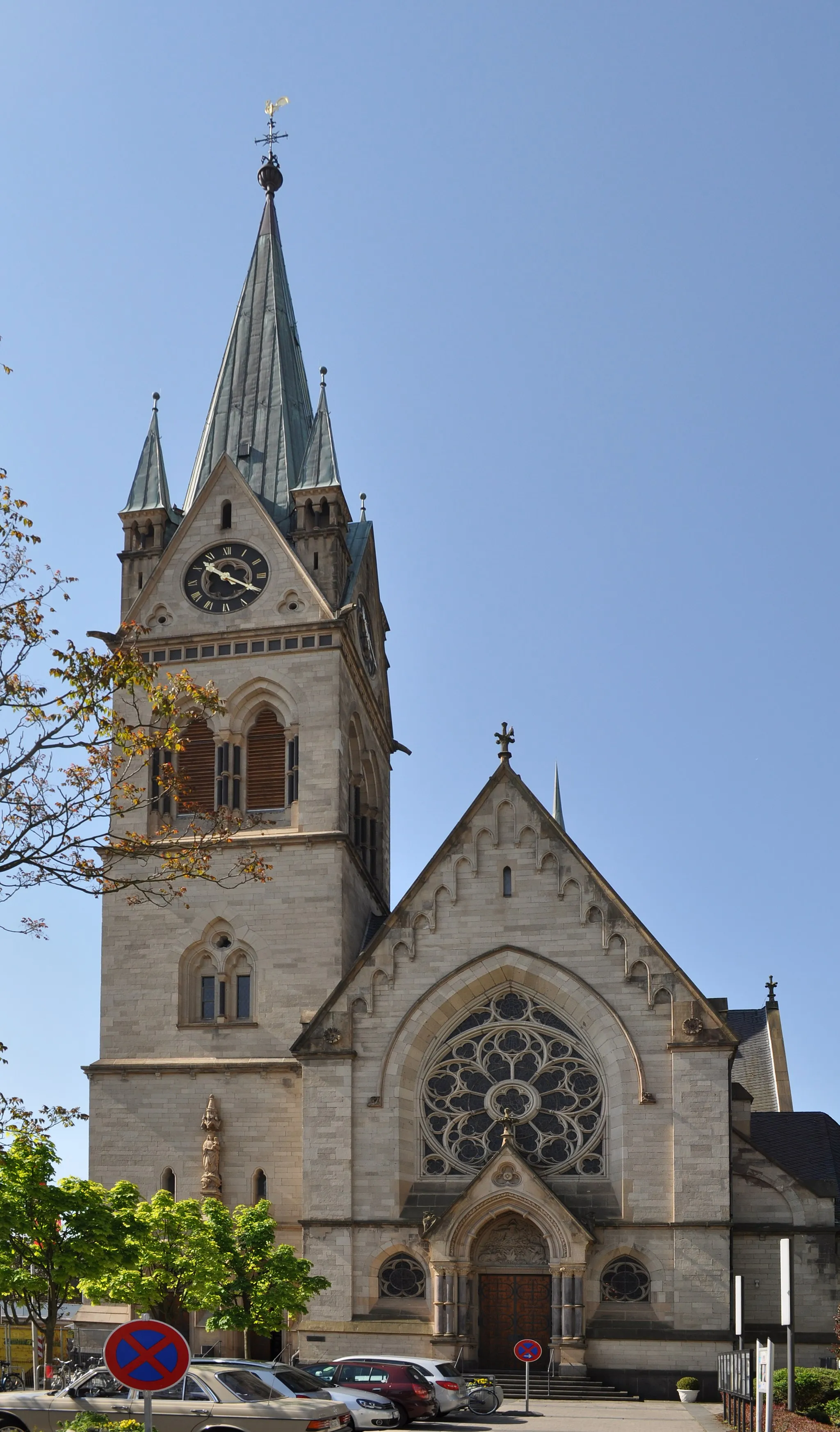
Bad VilbelTownStart your journey in Bad Vilbel, a small town with a rich cultural heritage.
15 km
15 km
Lerchesberg148 mPeakClimb the Lerchesberg and be rewarded with breathtaking views of the surrounding landscape.
32 km
32 km
Oberwaldberg145 mViewpointExplore Oberwaldberg, a quaint village surrounded by idyllic nature.
35 km
35 km
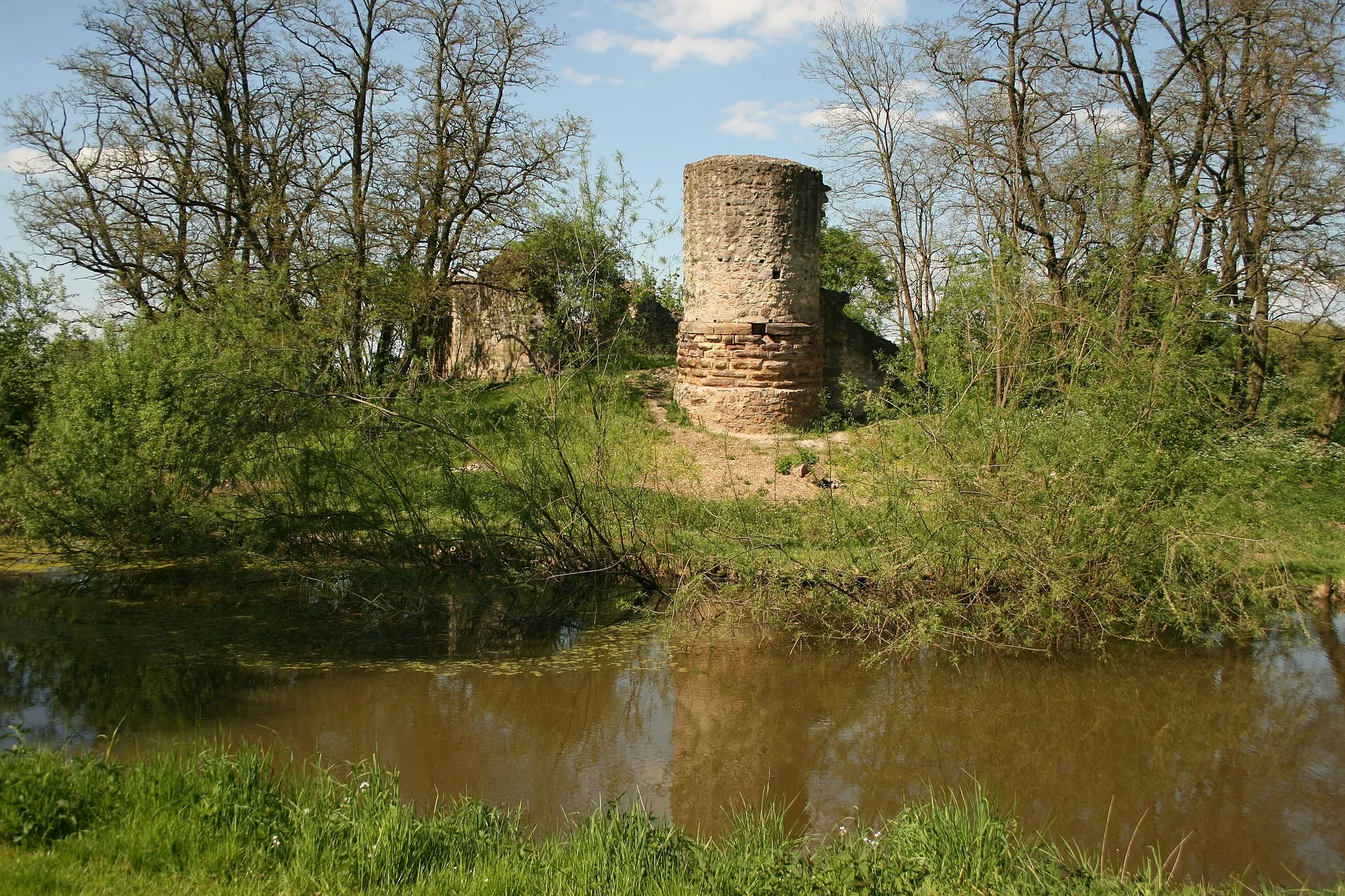
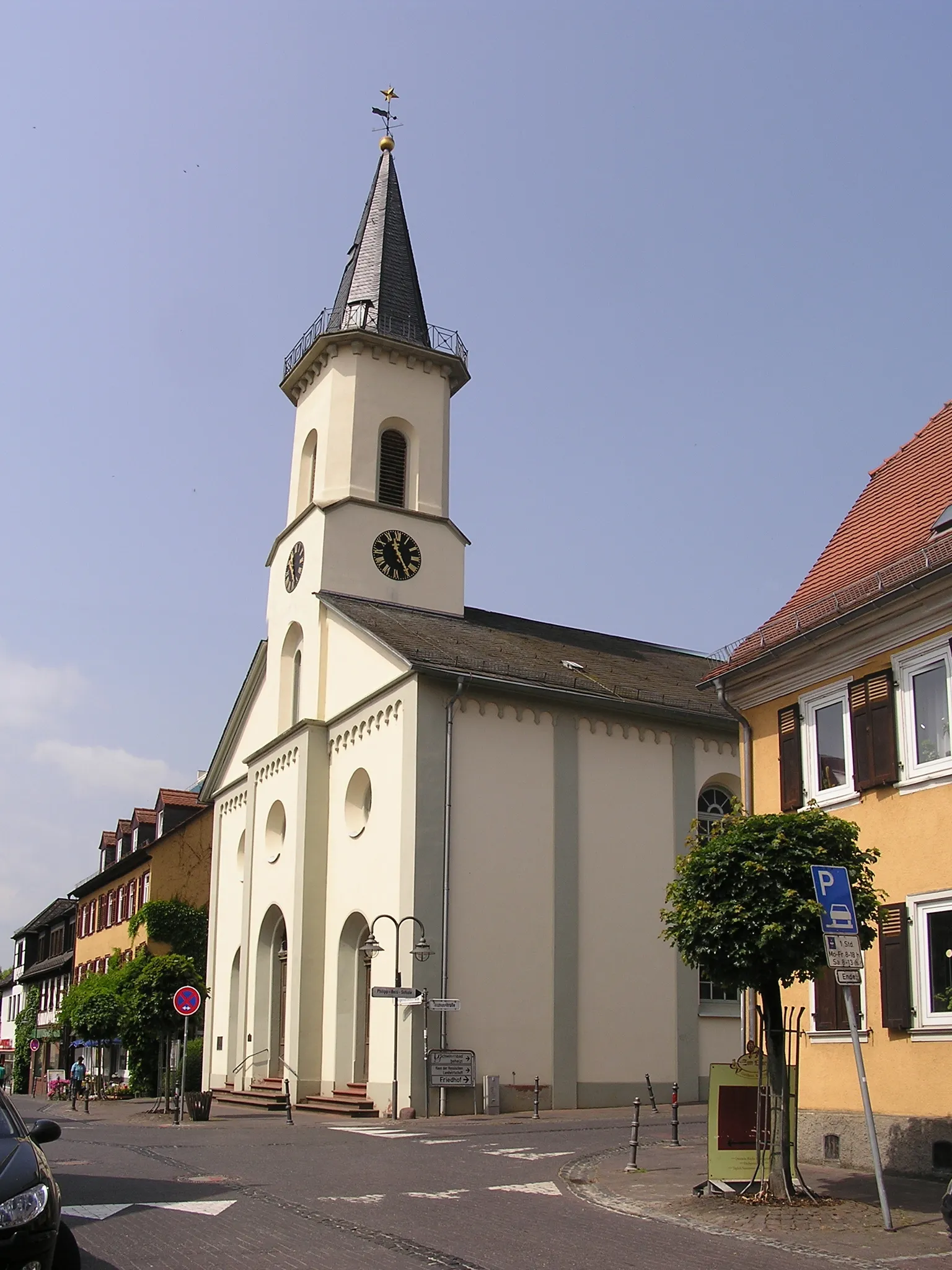
MörfeldenTownStop by Mörfelden and enjoy its peaceful atmosphere and well-preserved half-timbered houses.
43 km
43 km
Plane Spotter FRA Startbahn WestViewpoint56 km
56 km
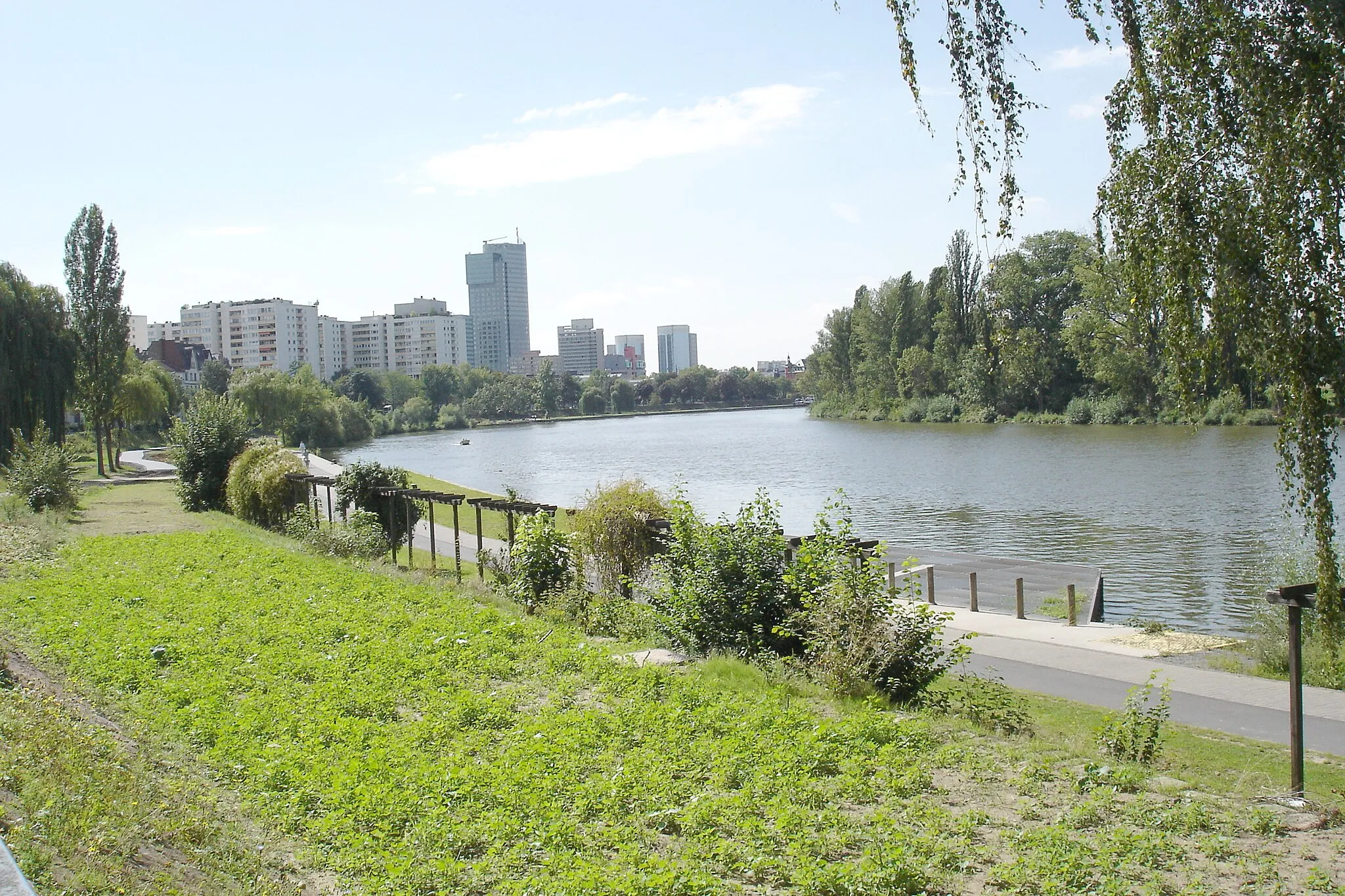
HöchstSub-urbPass through Höchst, a historic town famous for its medieval castle.
65 km
65 km
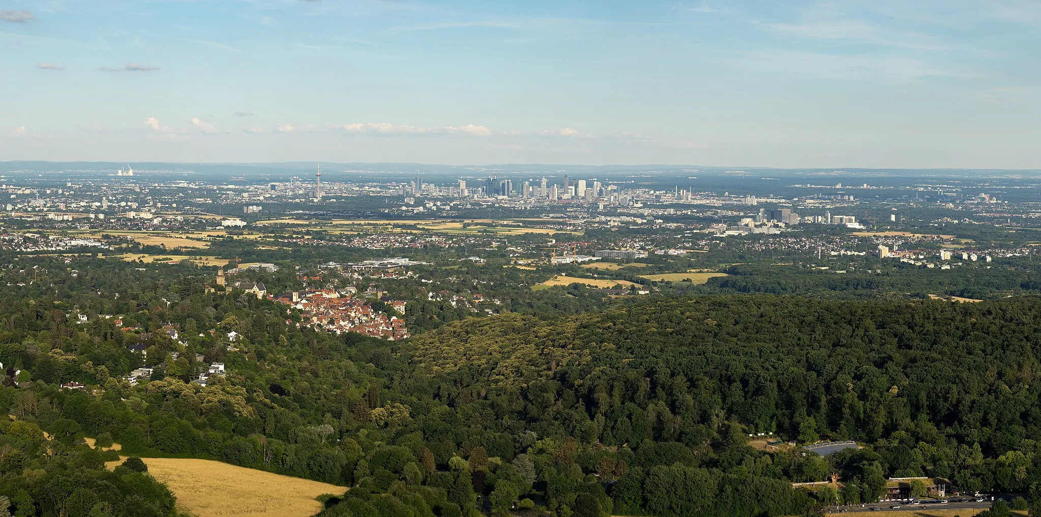
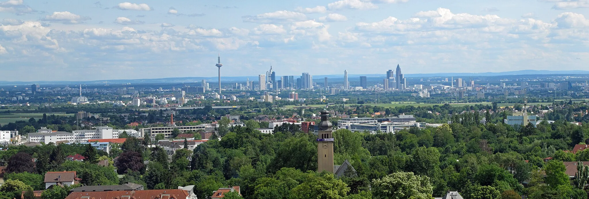
Aussichtsturm TaunusblickViewpointClimb the Aussichtsturm Taunusblick for panoramic views of the Taunus Mountains.
74 km
74 km
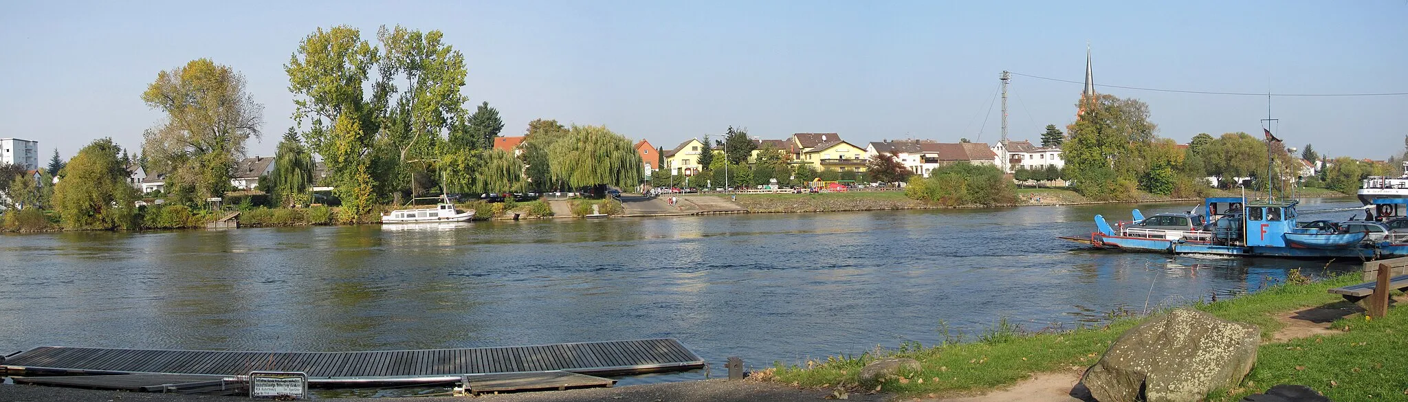
HarheimVillage77 km
77 km
Finish: Massenheim Village centerBad Vilbel: Discovering the scenic roads and historical sites of Bad Vilbel.
Cycling routes from Bad Vilbel:
Cycling routes nearby: