The Gravel Adventure
A gravel cycling route starting from Bad Vilbel
Explore the outskirts of Darmstadt on this gravel cycling route.
Map
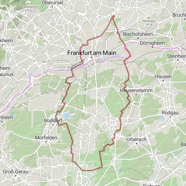
Embark on a challenging gravel cycling adventure near Darmstadt. This 84km route with 578m of ascent will take you through scenic landscapes, quaint villages, and off-the-beaten-path trails.
gravel
84 km
578 m
Tough
Route profile
Highlights on the route
0 km
0 km
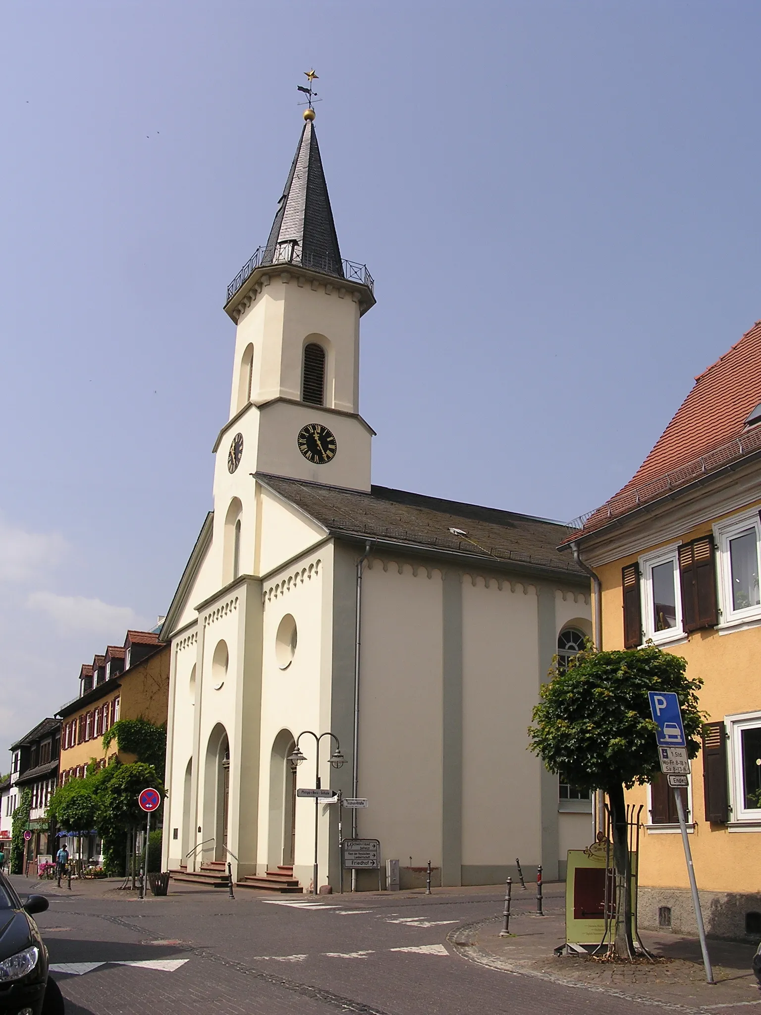
Start: Bad Vilbel City centerBad Vilbel: Discovering the scenic roads and historical sites of Bad Vilbel.
Bad Vilbel, located in Darmstadt, Germany, is a delightful locality for road and gravel cyclists. Situated in a scenic region with vineyards and forests, Bad Vilbel offers a diverse range of cycling opportunities. Cyclists can enjoy the well-paved roads that wind through charming villages and historical sites. The surrounding hills provide challenging climbs for those seeking a workout. Cyclists can also explore the nearby Grube Messel, a UNESCO World Heritage Site, known for its fossil-rich pit mine. Bad Vilbel is a cycling-friendly area with bike-friendly establishments, including cafes and bike rental shops.0 km
0 km
Bad VilbelTownBad Vilbel is a historic town renowned for its medicinal springs and beautiful parks.
11 km
11 km
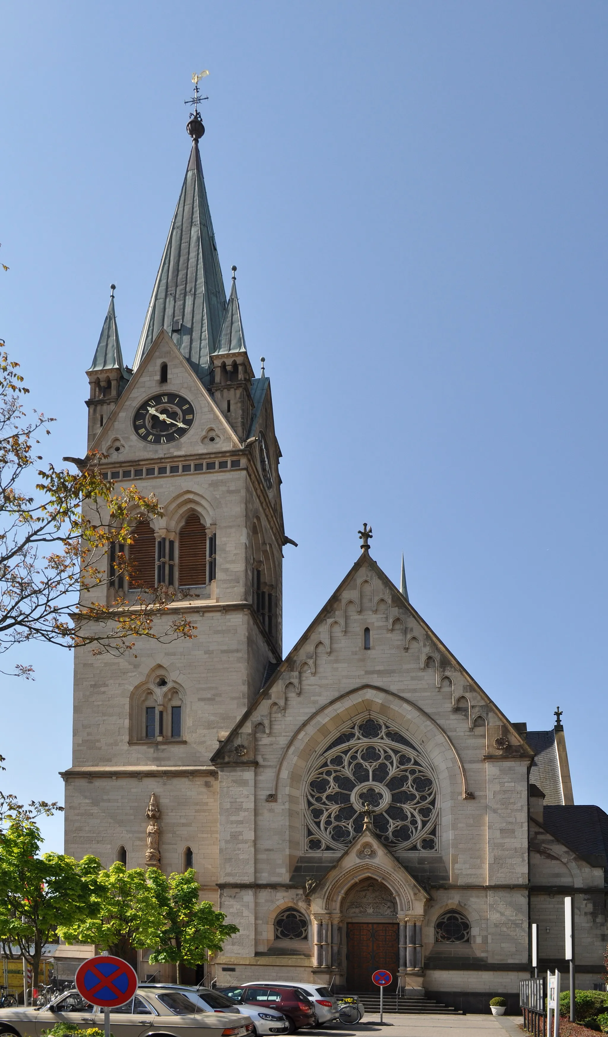
Offenbach am MainCityVisit the city of Offenbach am Main, famous for its leather goods production.
21 km
21 km
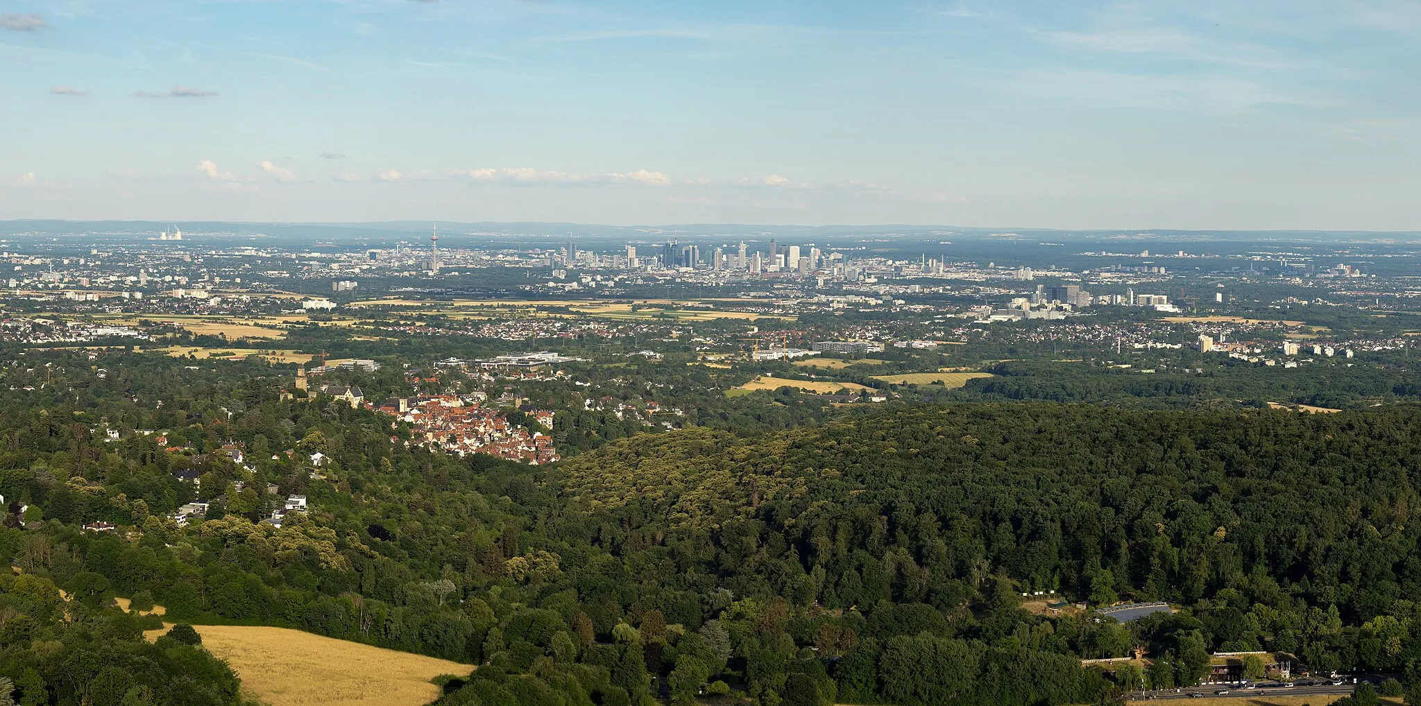
Steinberg152 mPeakStop at Steinberg, a hill with stunning panoramic views of the surrounding countryside.
39 km
39 km
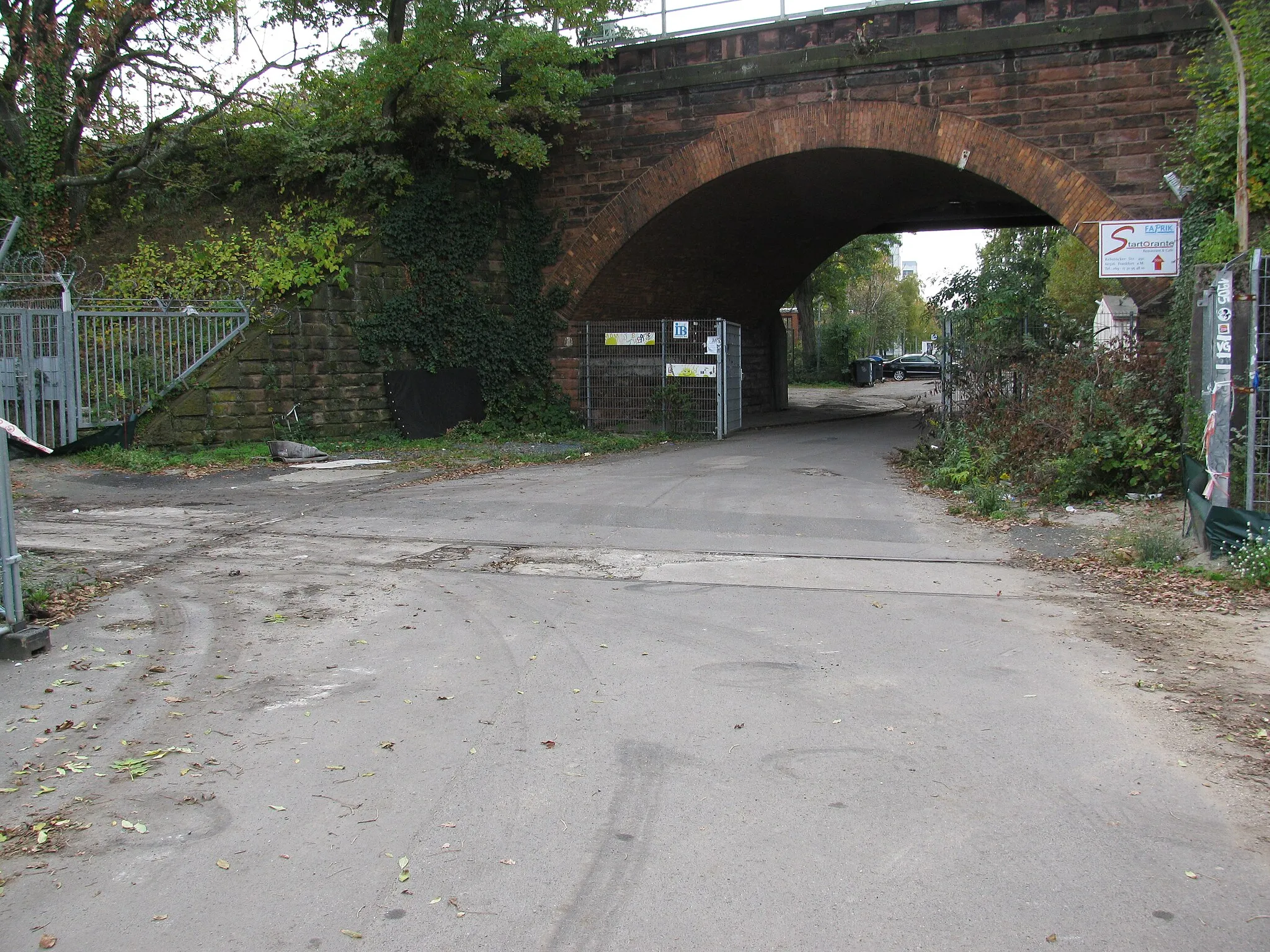
Aussichtsplattform FAIR-BaustelleViewpoint46 km
46 km
ErzhausenVillage69 km
69 km
NiederradSub-urbPass through Niederrad, a traditional district with beautiful architecture.
69 km
69 km
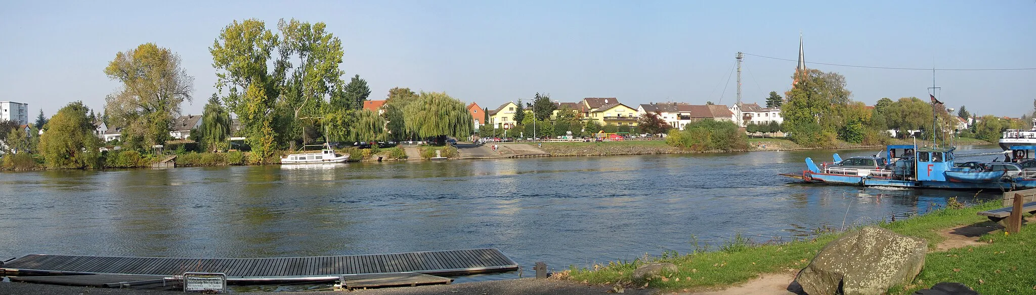
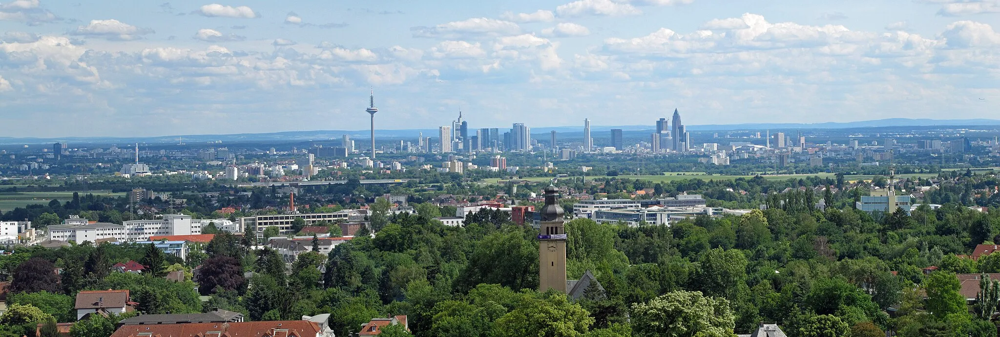
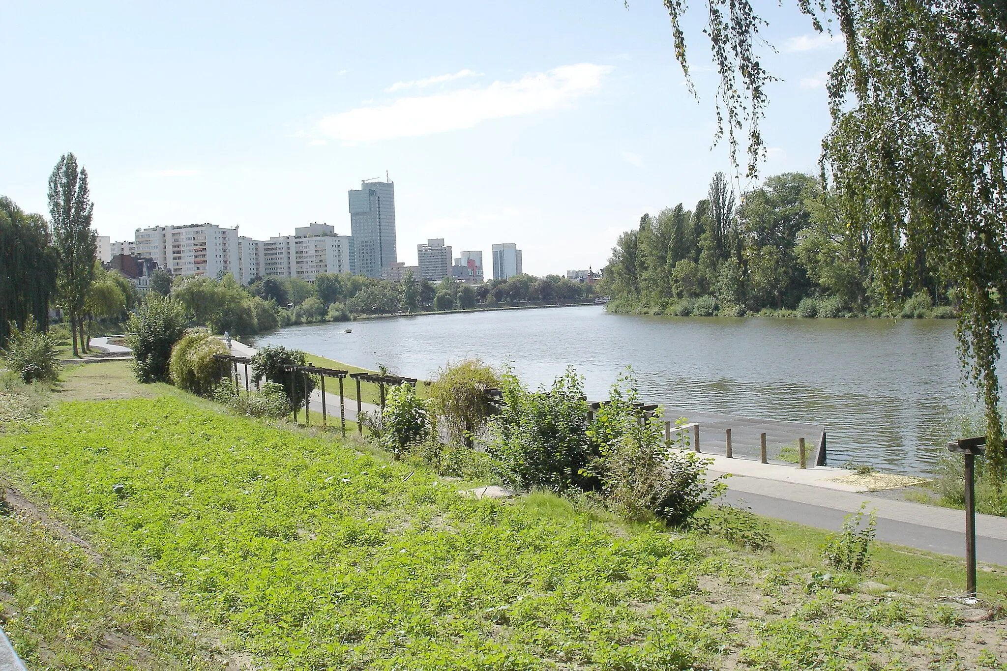
MainblickViewpointEnjoy a scenic view of the Main River at Mainblick.
80 km
80 km
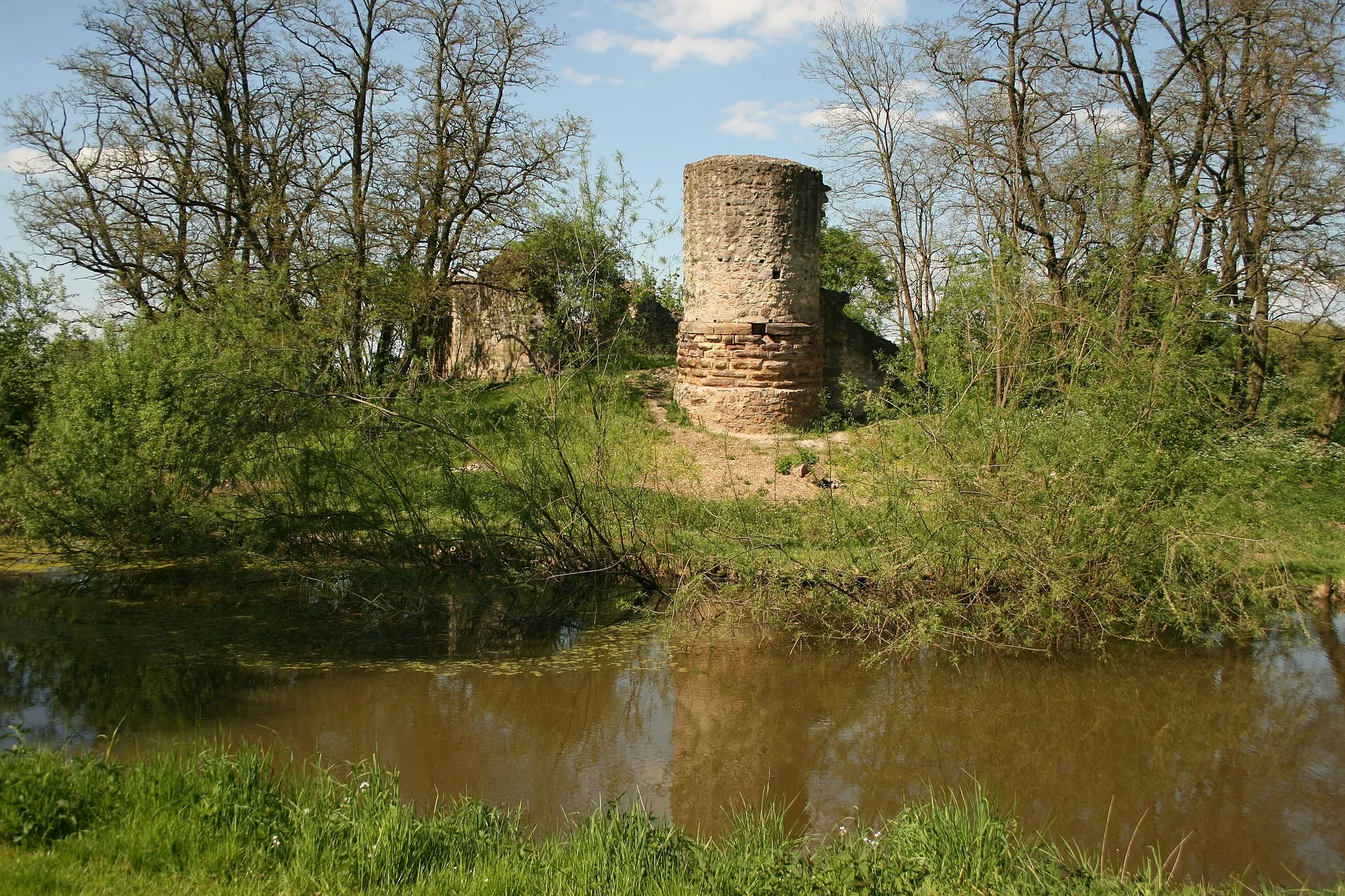
alte Sendestation "Heiligenstock"Castle RuinsExplore the old broadcasting station "Heiligenstock" perched on a hill.
84 km
84 km
Finish: Bad Vilbel City centerBad Vilbel: Discovering the scenic roads and historical sites of Bad Vilbel.
Cycling routes from Bad Vilbel:
Cycling routes nearby: