Beerfelden to Sensbachtal Road Cycling Route
A road cycling route starting from Beerfelden
Discover the picturesque landscapes and historic sites of the Odenwald region
Map
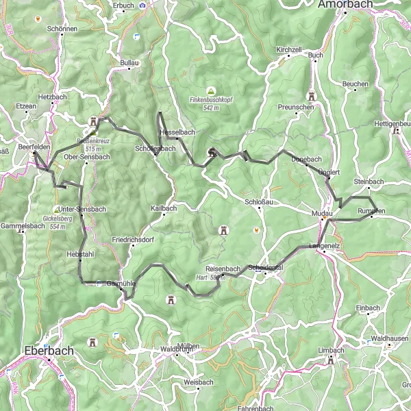
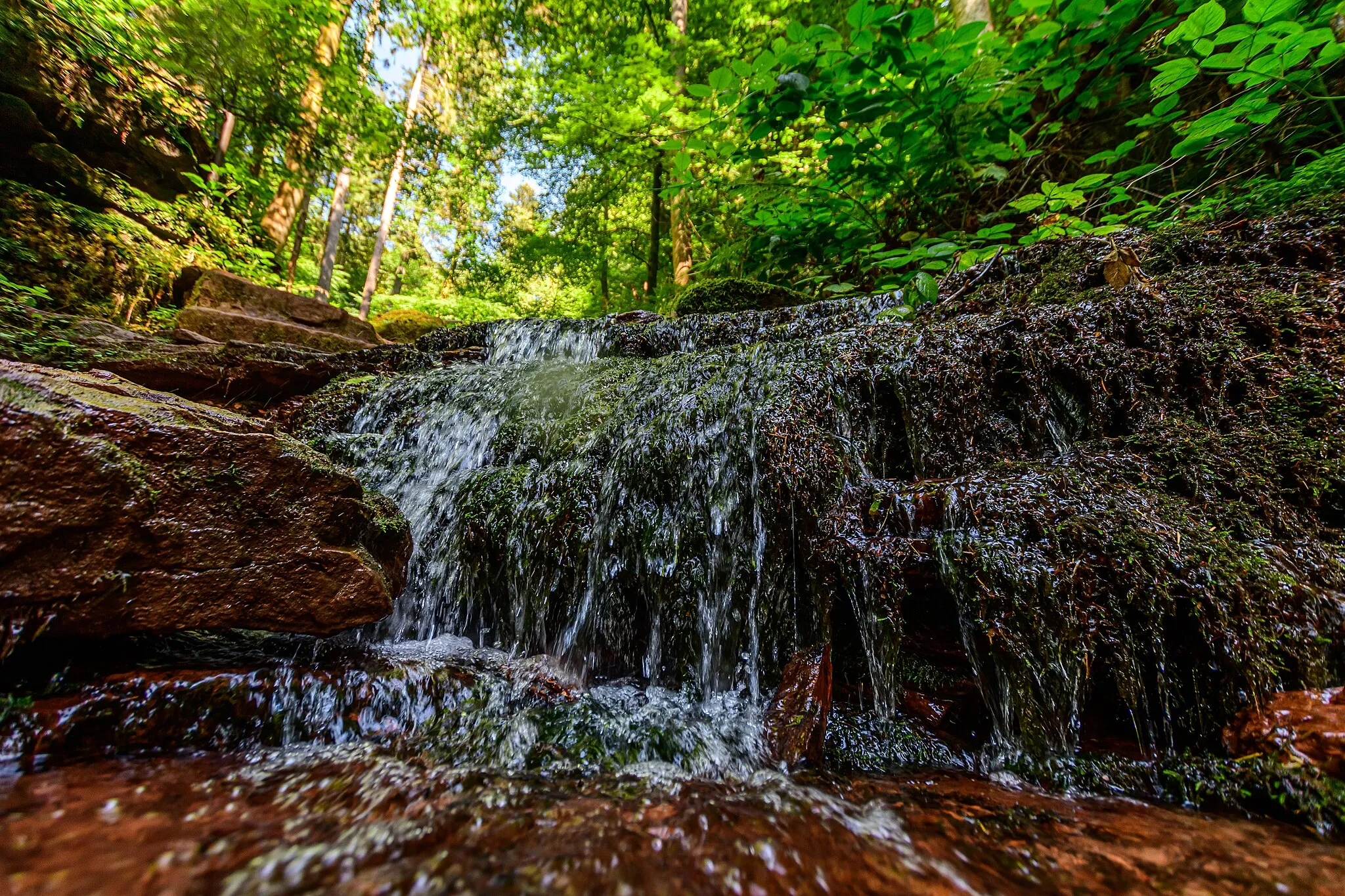
This road cycling route from Beerfelden to Sensbachtal takes you through the enchanting landscapes of the Odenwald region. With a total distance of 71 kilometers and an ascent of 1338 meters, this route offers a moderate challenge for cycling enthusiasts. Along the way, you'll pass by the beautiful town of Erbach, Schloß Waldleinigen with its stunning castle, and the historic Mudau. Don't miss the panoramic views from Schnuppenberg and the impressive ruins of the Kohortenkastell Oberscheidental. Overall, this route provides a mix of natural beauty, cultural heritage, and historical landmarks.
road
71 km
1338 m
Tough
Route profile
Highlights on the route
0 km
0 km
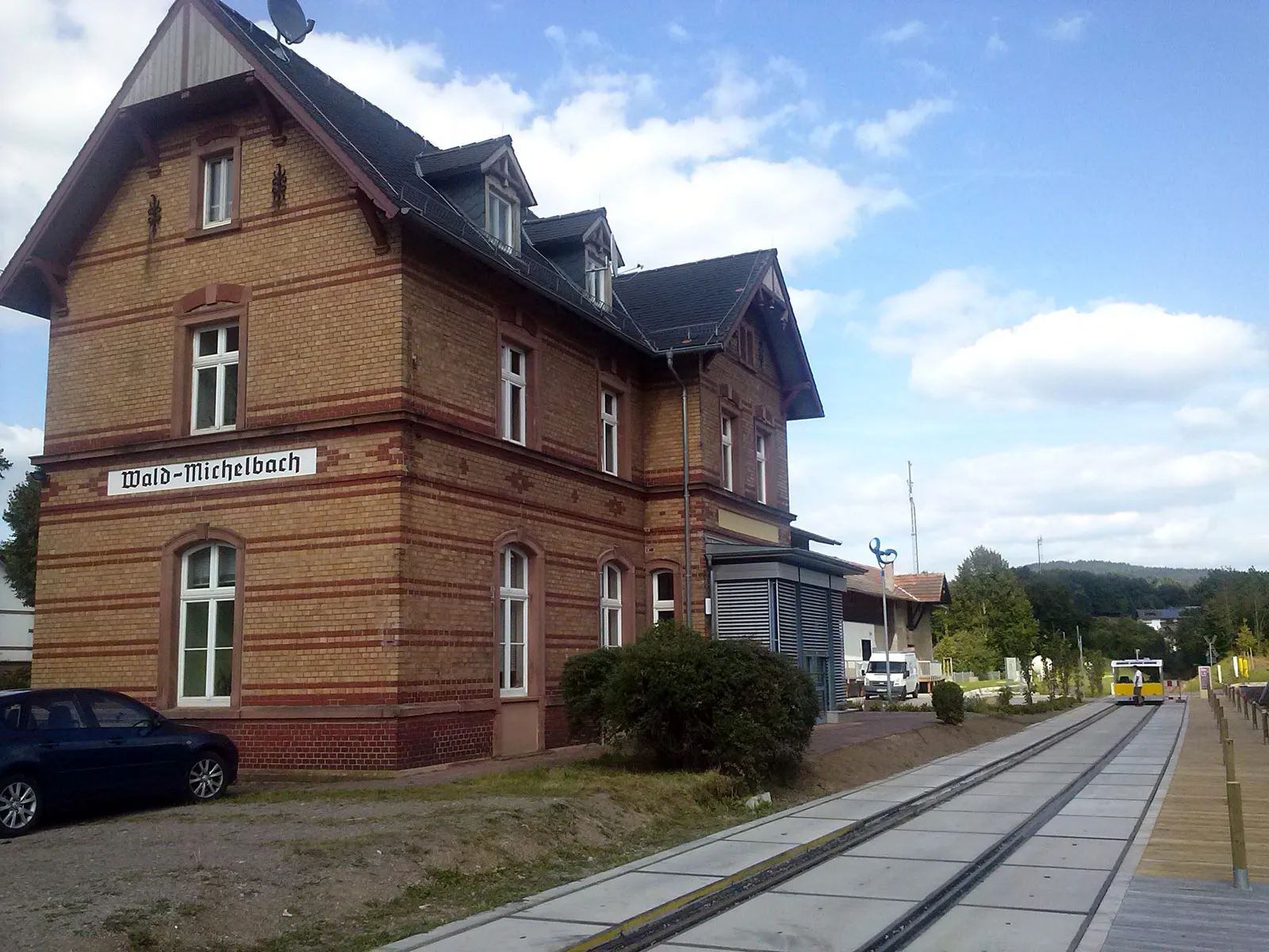
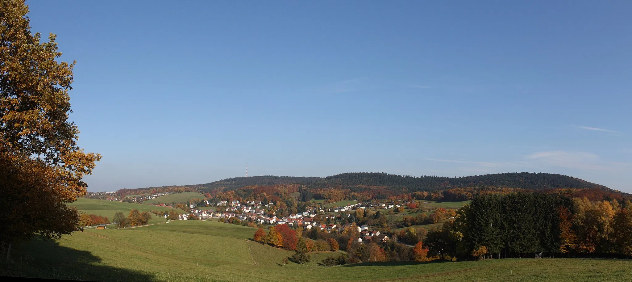
Start: Beerfelden Village centerBeerfelden: Scenic cycling routes and the Odenwald Loop
Beerfelden is a town located in the Darmstadt region of Germany. As a road and gravel cyclist, you can expect to find some enjoyable routes in the scenic surroundings. The roads in Beerfelden and the surrounding area are well-maintained and offer a mix of flat and hilly sections, catering to cyclists of different abilities. One of the notable cycling routes nearby is the Odenwald Loop, which takes you through beautiful landscapes and offers a solid challenge. With its picturesque routes and access to the Odenwald Loop, Beerfelden is a great destination for cycling enthusiasts.0 km
0 km
BeerfeldenVillageBeerfelden is a charming town located in the heart of the Odenwald region, offering a perfect starting point for your cycling adventure.
5 km
5 km
Krähberg554 mPeakKrähberg is a scenic hill that offers panoramic views of the rolling Odenwald hills and the surrounding countryside.
20 km
20 km
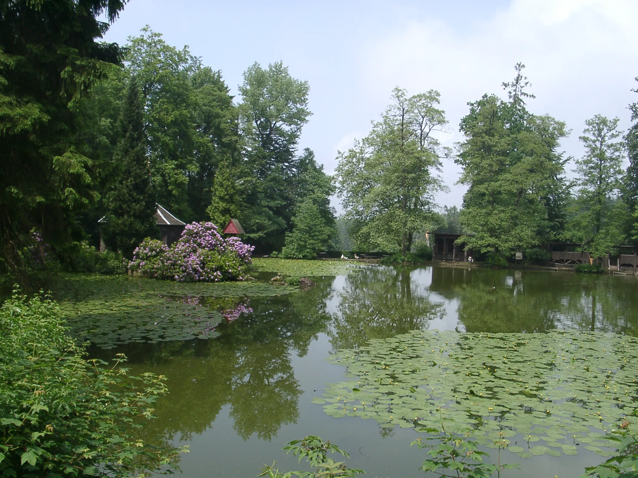
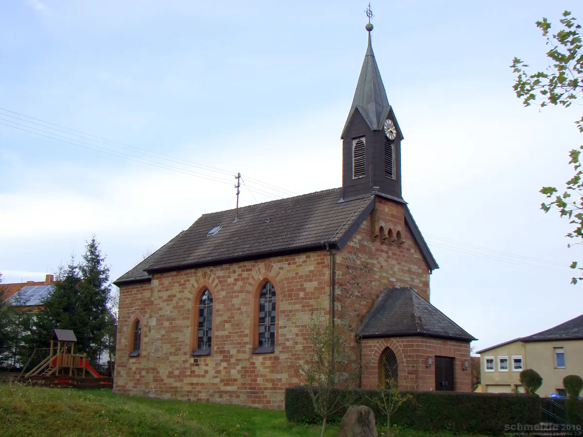
Schloß WaldleinigenCastleSchloß Waldleinigen is a magnificent castle that dates back to the 14th century, surrounded by beautiful gardens and impressive architecture.
21 km
21 km
Hoheberg464 mPeakHoheberg is a small village with charming half-timbered houses, offering a glimpse into traditional Odenwald architecture.
27 km
27 km
Hörnle502 mPeakHörnle is a scenic lookout point that provides panoramic views of the surrounding countryside and the Odenwald forest.
39 km
39 km
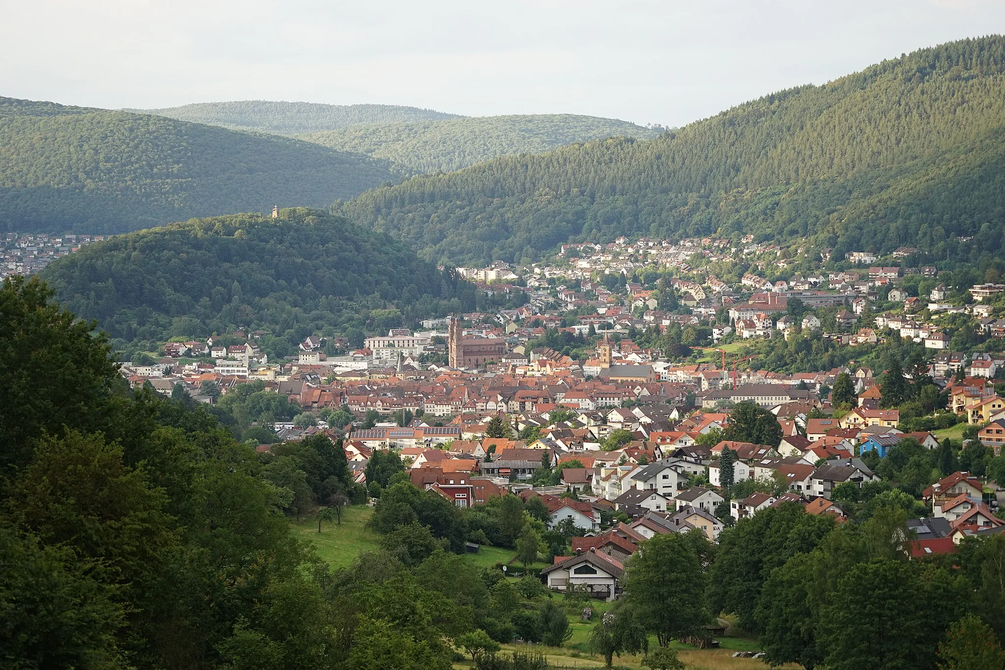
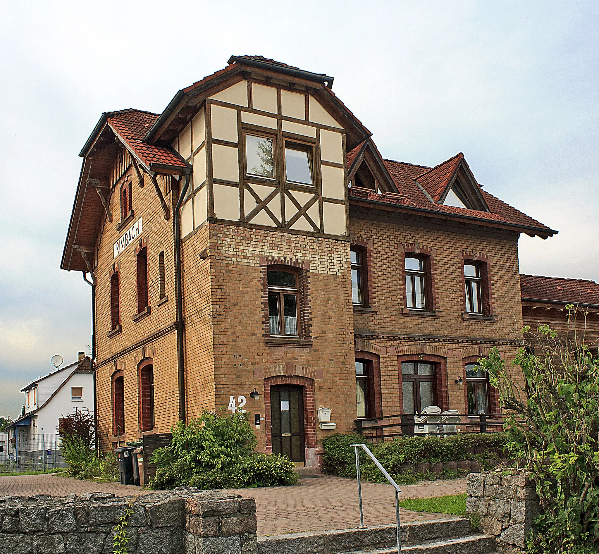
MudauVillageMudau is a historic town with well-preserved half-timbered houses and a charming marketplace, inviting visitors to take a step back in time.
45 km
45 km
Kohortenkastell OberscheidentalAttractionKohortenkastell Oberscheidental is an impressive Roman fortification that showcases the region's rich history and cultural heritage.
47 km
47 km
Hart580 mPeakHart is a secluded village tucked away in the Odenwald hills, surrounded by verdant forests and traditional Odenwald architecture.
63 km
63 km
Schnuppenberg506 mPeakSchnuppenberg is a picturesque hill offering breathtaking views of the Odenwald countryside and a serene atmosphere for relaxation.
65 km
65 km
SensbachtalHamletSensbachtal is a hidden gem known for its beautiful landscapes, charming villages, and challenging cycling routes, making it a favorite among cycling enthusiasts.
71 km
71 km
Finish: Beerfelden Village centerBeerfelden: Scenic cycling routes and the Odenwald Loop
Cycling routes from Beerfelden:
Beerfelden to Hetzbach Road Cycling Route Beerfelden to Galgen Beerfelden Gravel Cycling Route Beerfelden to Sensbachtal Road Cycling Route Beerfelden to Neckargerach Road Cycling Route The Gravel Adventure in Odenwald Wetterberg Loop Gravel Adventure to Beerfelden Exploring Forested Roads Enchanting Gravel Exploration Breathtaking Gravel Ride
Cycling routes nearby: