Cycling paradise with challenging climbs and beautiful scenery.
Cycling routes from Dotzheim
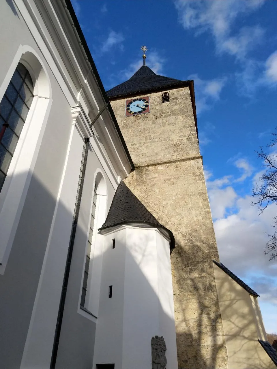
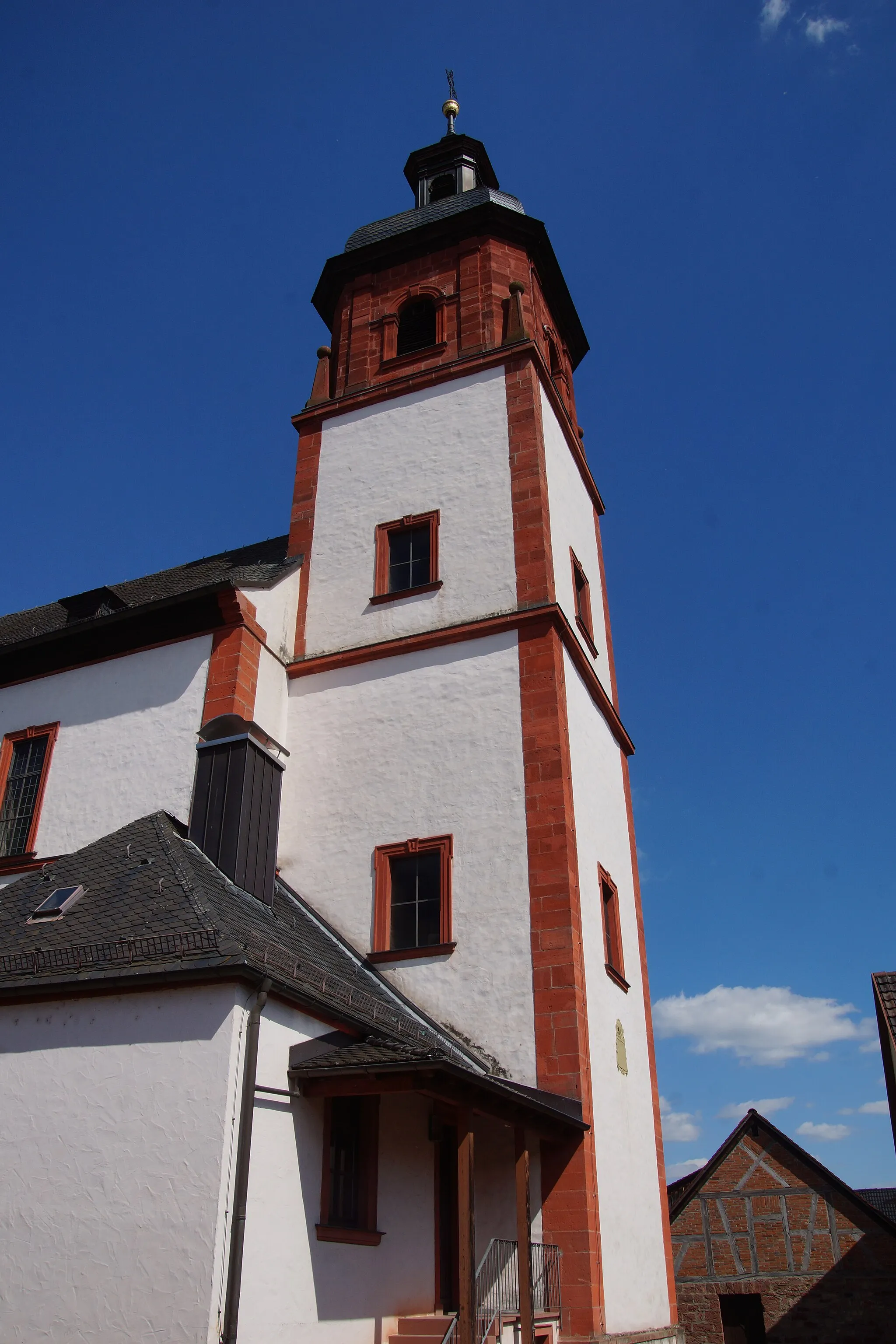
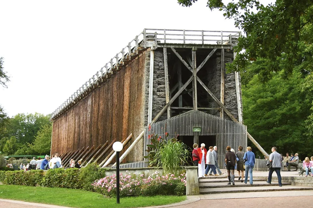
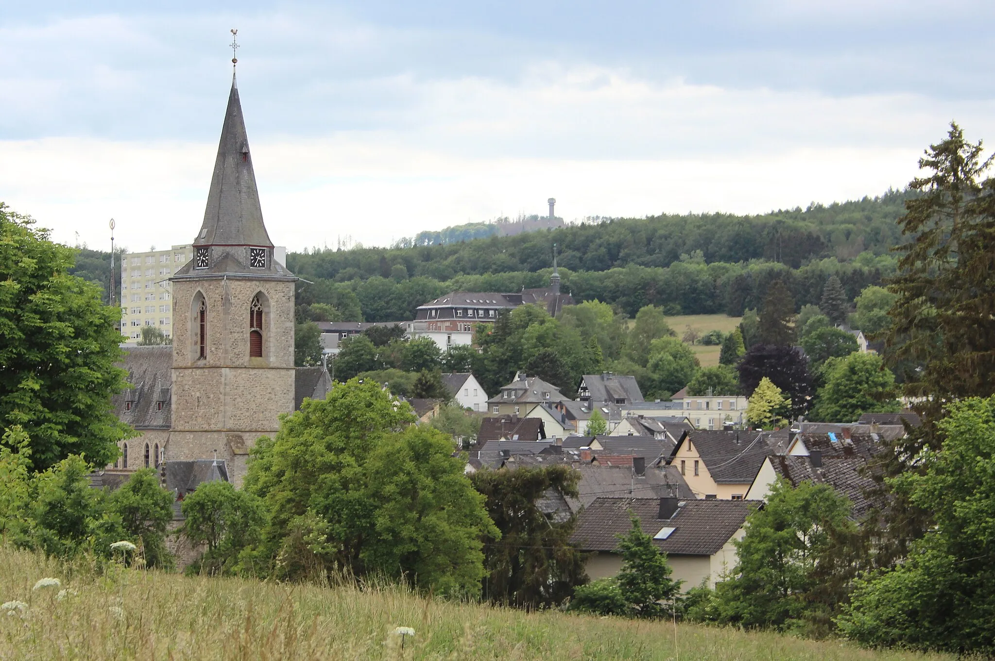
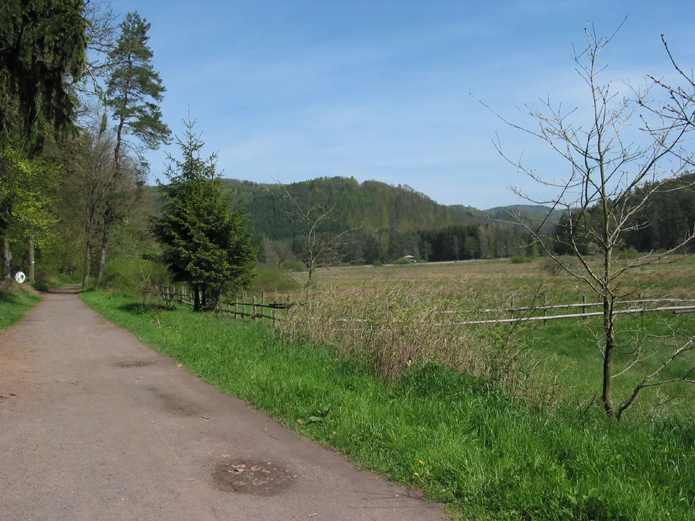
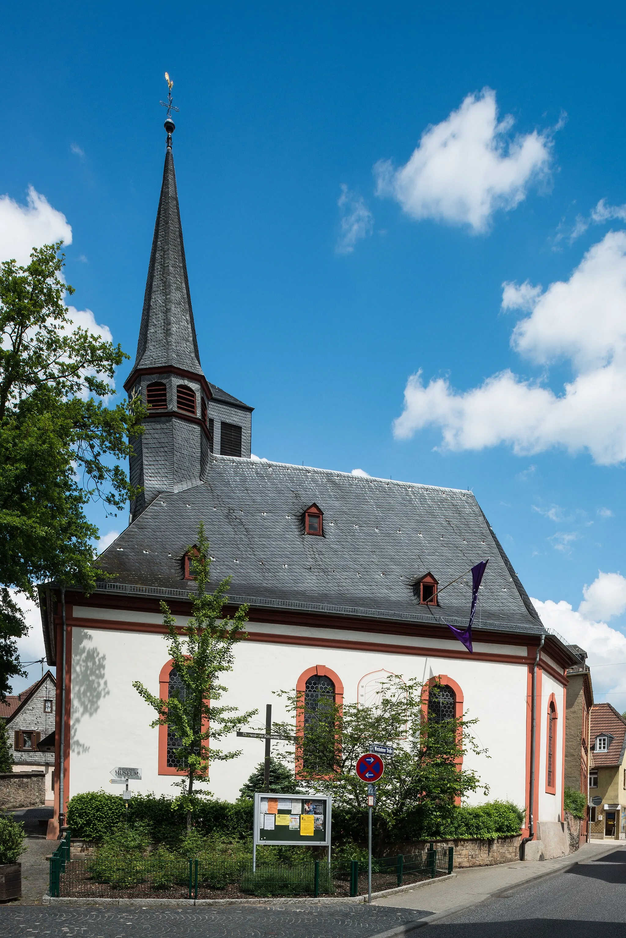
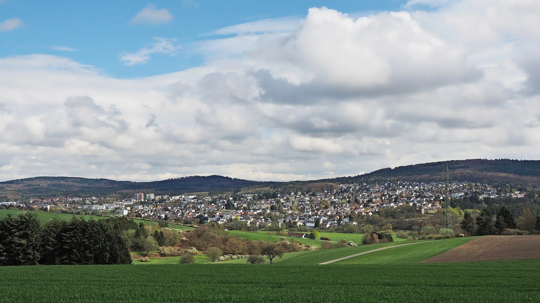
Dotzheim in Germany is a picturesque locality for road and gravel cycling. The region offers a mix of challenging climbs and scenic routes that wind through beautiful countryside. One of the most famous cycling spots nearby is the Niederwald Monument, a popular destination for cyclists looking to test their legs on steep ascents. Dotzheim is a great place for cycling enthusiasts who enjoy a variety of terrain and stunning views.
Take on the ultimate road cycling challenge near Dotzheim
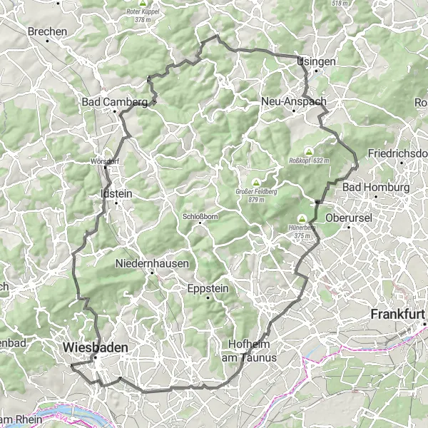
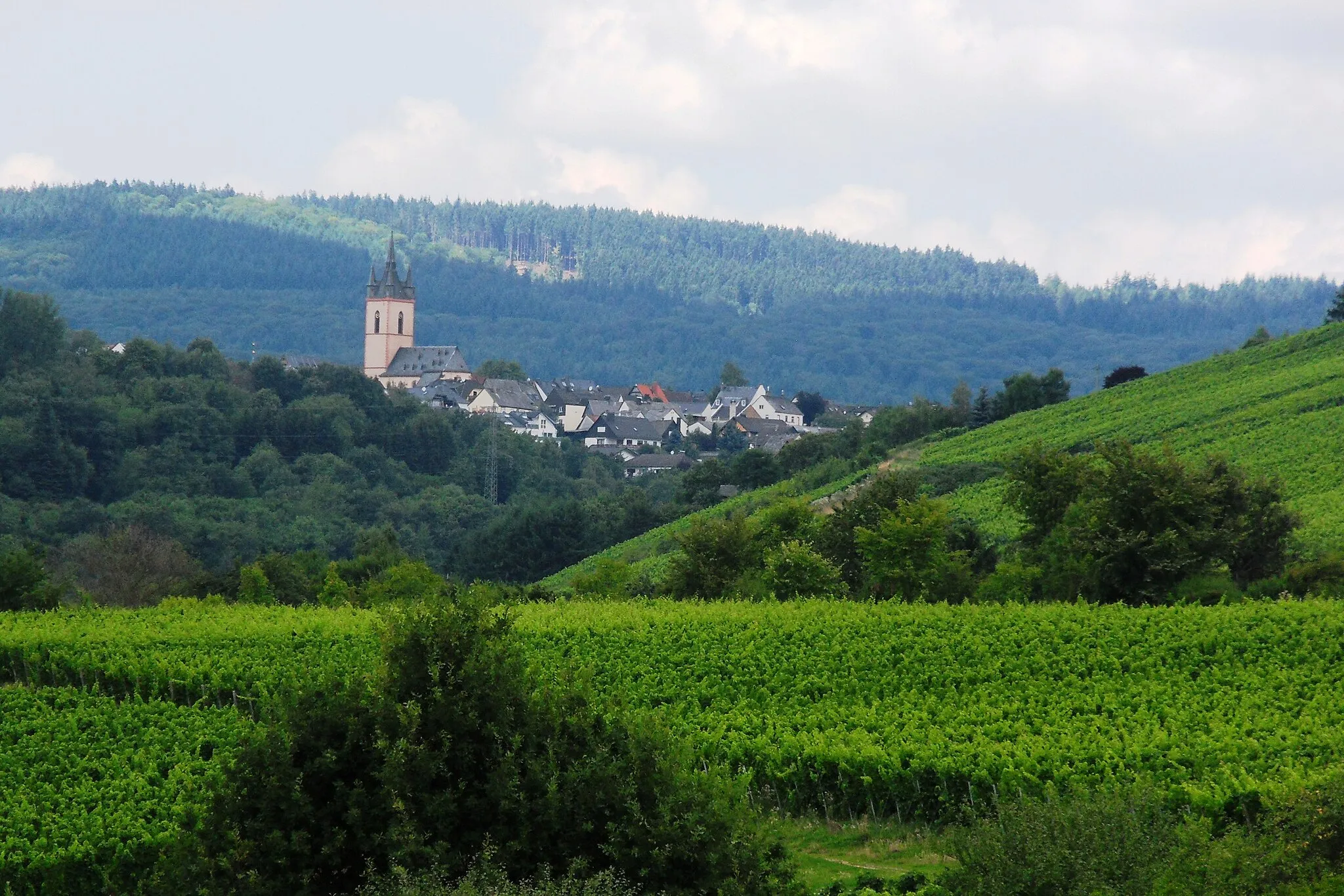
This challenging 122-kilometer road route near Dotzheim is perfect for experienced cyclists seeking a thrilling adventure. With 1850 meters of ascent, this ride will test your endurance and climbing skills. Enjoy breathtaking views from the top of Roßberg and conquer the demanding Saalburgpass.
Explore the charming countryside surrounding Dotzheim
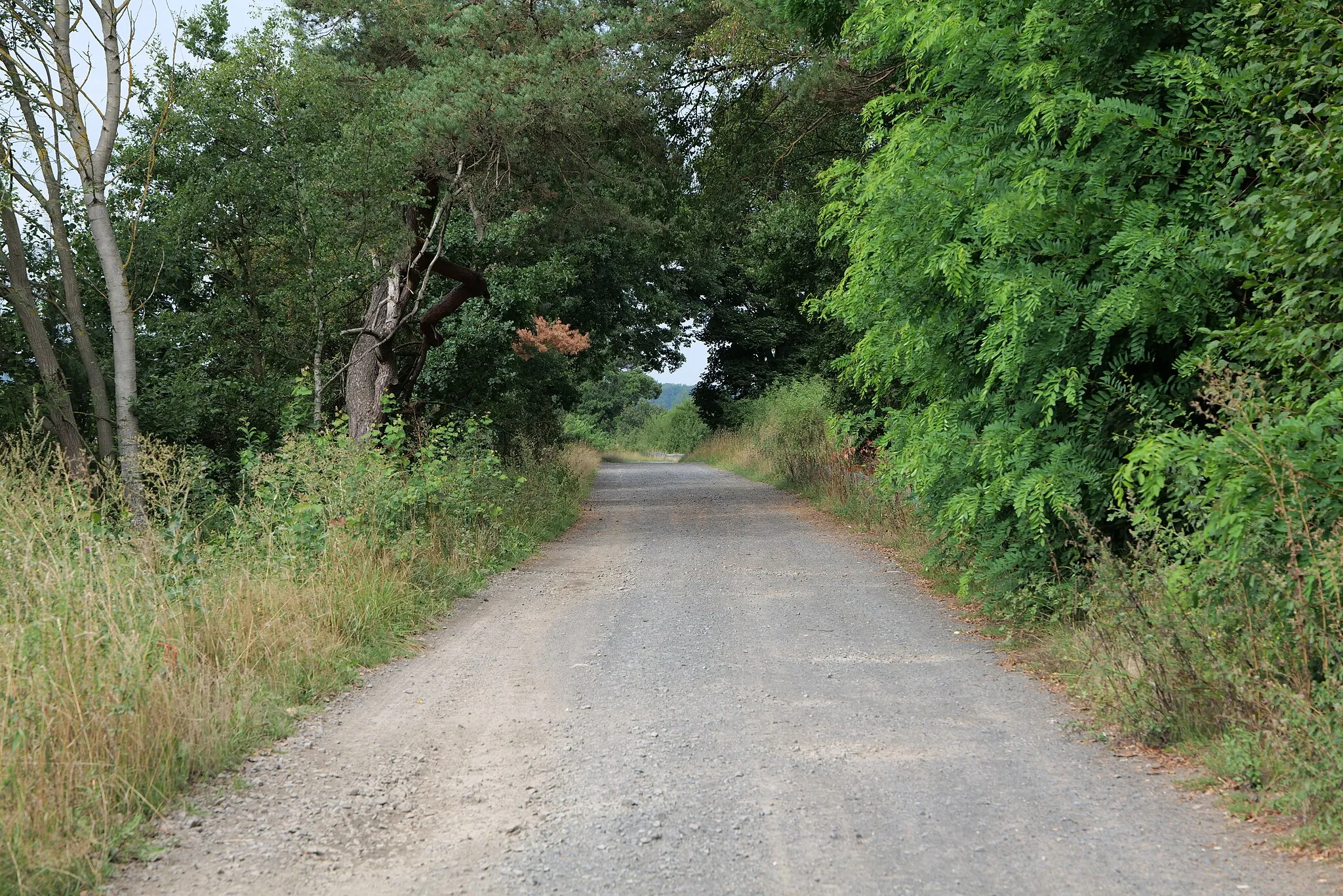
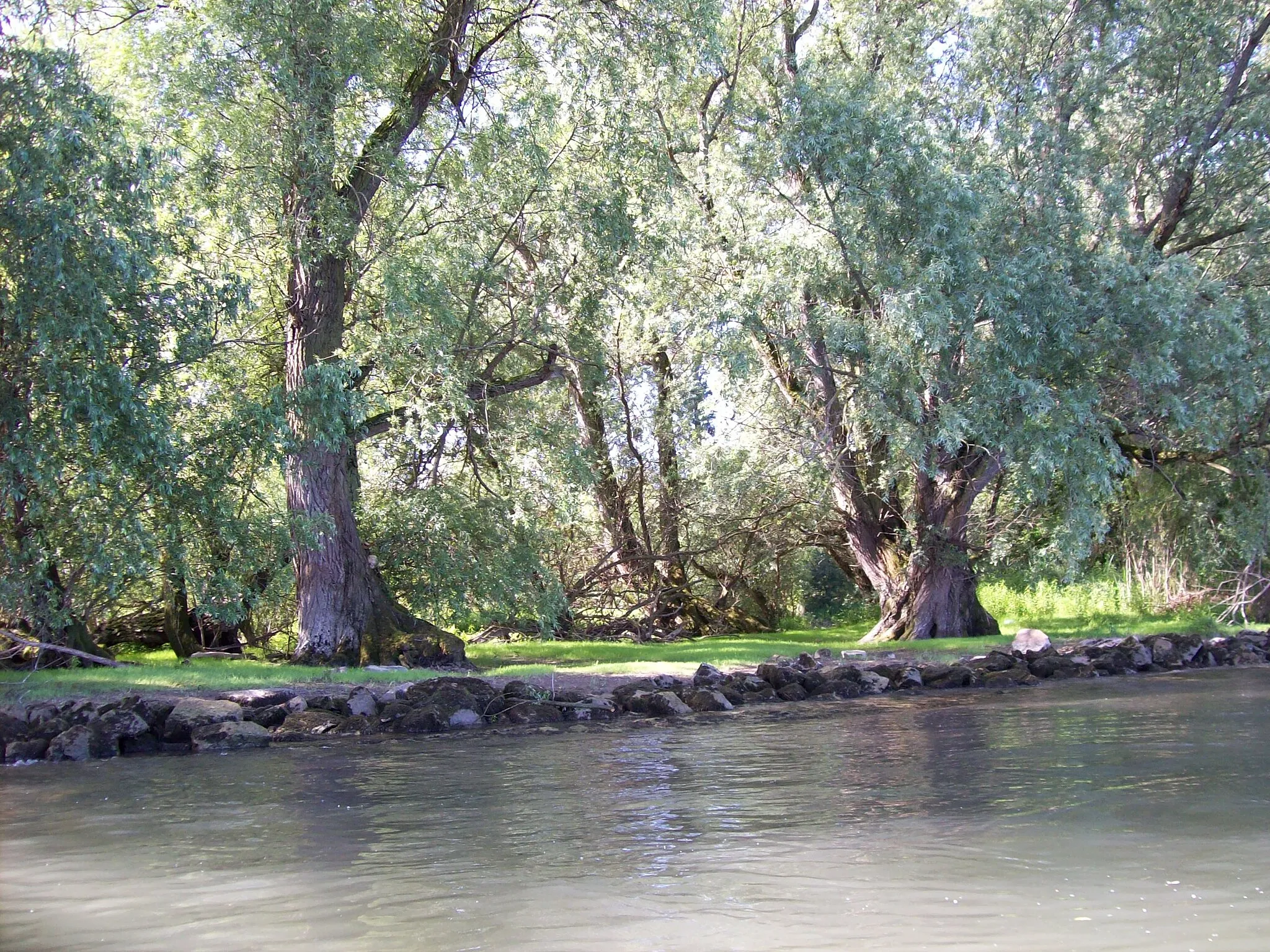
This 75 km gravel route takes you through the scenic countryside surrounding Dotzheim, with a total elevation gain of 399 meters. It is a moderately challenging ride suitable for experienced riders. The highlights along this route include Wiesbaden Hauptbahnhof, Vogelnest, Eddersheim, Aussichtsplattform, Aussichtsturm 2, Weilbach, Delkenheim, and Westend.
A challenging road route showcasing the best of Darmstadt
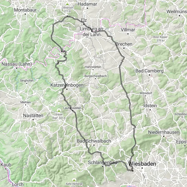
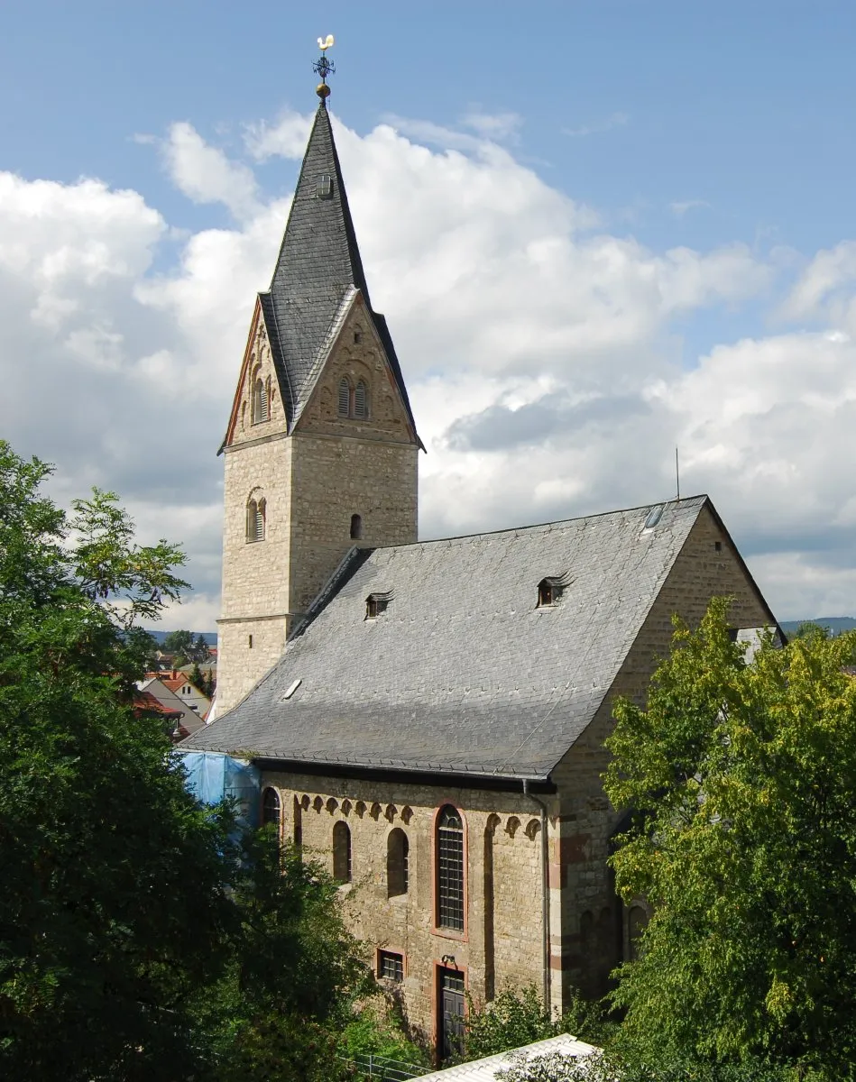
This epic 110 km road cycling route takes you through some of the most beautiful and challenging scenery in the Darmstadt area. With an elevation gain of 1,783 meters, it is recommended for experienced cyclists. Highlights of the route include Dotzheim, Oestrich, Eisenberge, Aachener Schanze, Pohl, Köppel, Hausen über Aar, Höllberg, Hahn, and Eiserne Hand.
Experience the picturesque scenery near Dotzheim on this road cycling tour
Embark on a scenic adventure near Dotzheim with this breathtaking 119-kilometer road route. With 1985 meters of ascent, this ride is perfect for cyclists seeking spectacular views and challenging climbs. Ride past the majestic Wilhelmsfelsen and explore the charming village of Kirberg.
Dotzheim Gravel Adventure

Experience the thrill of gravel cycling near Dotzheim
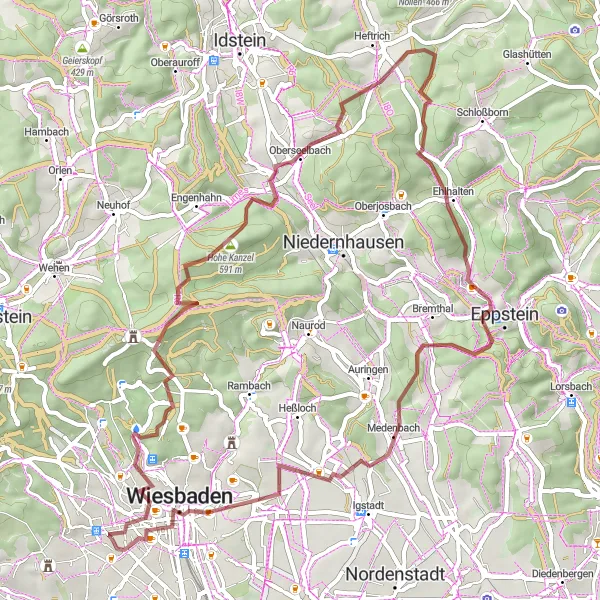
Explore rugged and adventurous gravel roads near Dotzheim on this challenging route. With 70 kilometers in distance and 1512 meters of ascent, this ride will test your skills and endurance. Discover the beauty of the Bleidenstadter Kopf and Roßberg along the way.
Embark on a scenic gravel journey near Dotzheim
Discover the beauty of the countryside on this 58-kilometer gravel route from Dotzheim. With 1230 meters of ascent, this ride offers a moderate challenge for gravel enthusiasts. Admire the historic Westend district and the natural beauty of Rassel along the way.

Gravel adventure through the hills near Dotzheim
This gravel route takes you through the scenic countryside near Dotzheim, offering beautiful views and challenging terrain. With a total distance of 40 km and an elevation gain of 881 meters, it is suitable for experienced riders. The route starts in Dotzheim and passes through highlights such as Bleidenstadter Kopf, Wehen, Breithardt, Dieling, Schläferskopf, and finishes back in Dotzheim.
Wiesbaden Historical Trail
A historical road cycling tour through Wiesbaden and surroundings
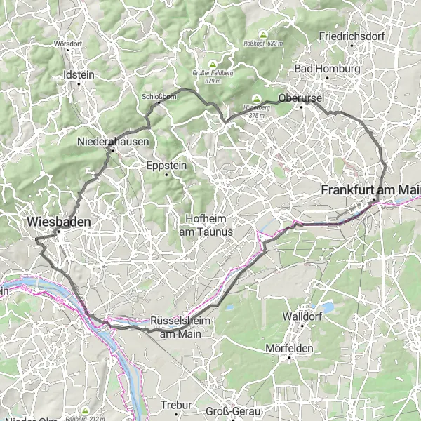
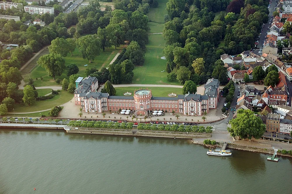
This 104 km road cycling tour starting near Dotzheim takes you on a journey through the historical highlights near Wiesbaden. With an elevation gain of 1,084 meters, it offers a slightly challenging ride suitable for experienced riders. Highlights of the route include Römertor, Hellenberg, Schloßborn, Panoramablick, Rententurm, Main Tower, Kelsterbach, Rüsselsheim am Main, Aussichtsturm am Mainhafen, and Mosburg.

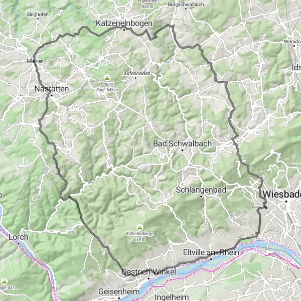
A breathtaking road cycling adventure near Dotzheim
Embark on a thrilling road cycling experience near Dotzheim with this 126-kilometer route. With 2036 meters of ascent, this ride is a challenge suited for experienced cyclists. Discover the beauty of Roter Stein and Burg Runkel along the way.
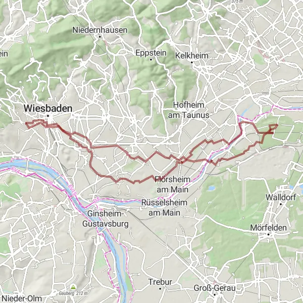
Wiesbaden Gravel Tour
A gravel ride featuring iconic spots near Wiesbaden
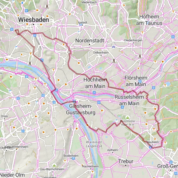
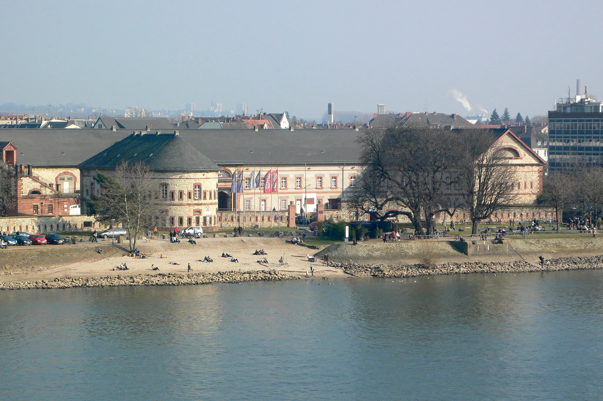
This gravel tour starting near Dotzheim takes you on a 67 km journey through various highlights near Wiesbaden. With a relatively low elevation gain of 279 meters, it is suitable for riders of average fitness levels. Highlights along the route include Wiesbaden Hauptbahnhof, Eisenbaum, Keramag/Falkenberg, Nauheim, Alte Opel-Rennbahn, Prominentenweinberg, Malakoff Caponier, and Landesdenkmal.
Cycling routes nearby:


Nearby regions: