Dotzheim Road Adventure
A road cycling route starting from Dotzheim
A breathtaking road cycling adventure near Dotzheim
Map

Embark on a thrilling road cycling experience near Dotzheim with this 126-kilometer route. With 2036 meters of ascent, this ride is a challenge suited for experienced cyclists. Discover the beauty of Roter Stein and Burg Runkel along the way.
road
126 km
2036 m
Savage
Route profile
Highlights on the route
0 km
0 km
Start: Locality centerDotzheim: Cycling paradise with challenging climbs and beautiful scenery.
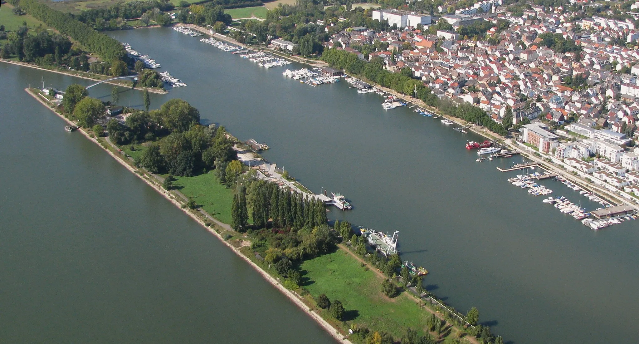
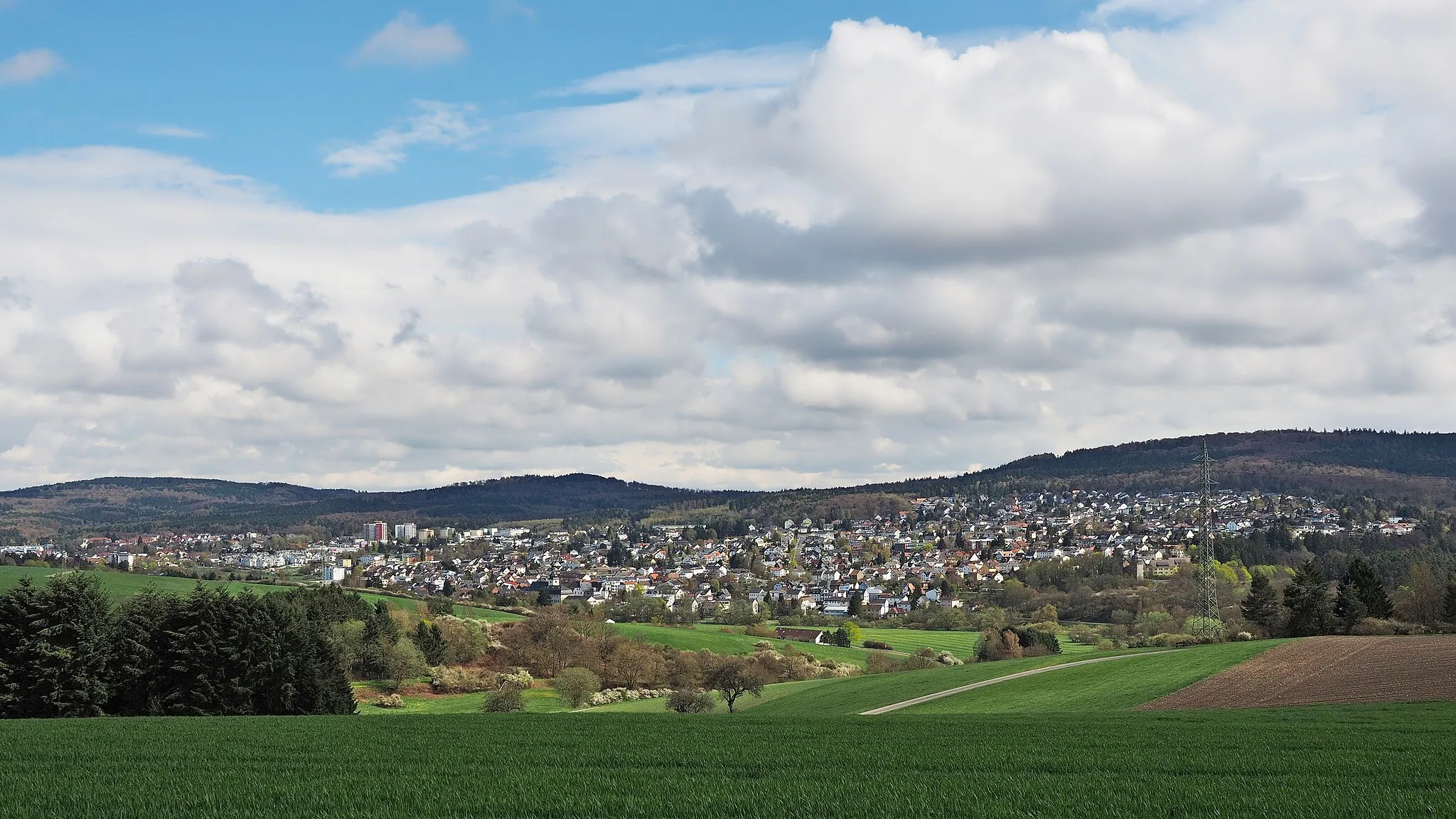
Dotzheim in Germany is a picturesque locality for road and gravel cycling. The region offers a mix of challenging climbs and scenic routes that wind through beautiful countryside. One of the most famous cycling spots nearby is the Niederwald Monument, a popular destination for cyclists looking to test their legs on steep ascents. Dotzheim is a great place for cycling enthusiasts who enjoy a variety of terrain and stunning views.12 km
12 km
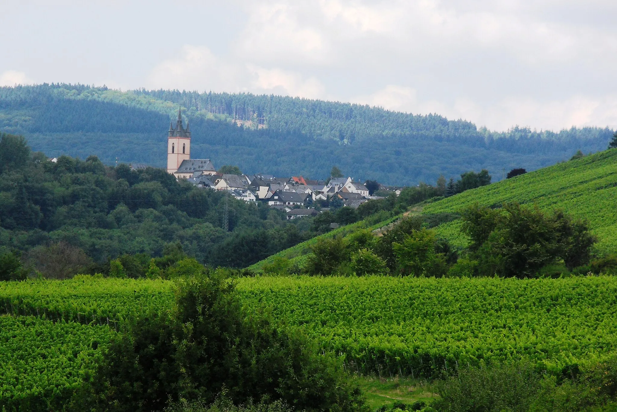
Roter Stein483 mPeakEnjoy scenic views from Roter Stein, a well-known viewpoint in the area.
17 km
17 km
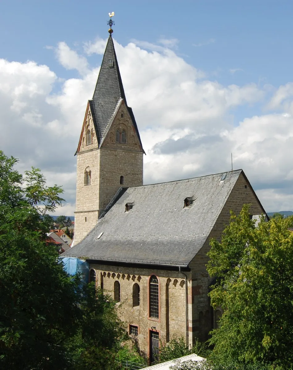
AdolfseckVillageVisit Adolfseck, a historical site located on a hill with stunning views.
31 km
31 km
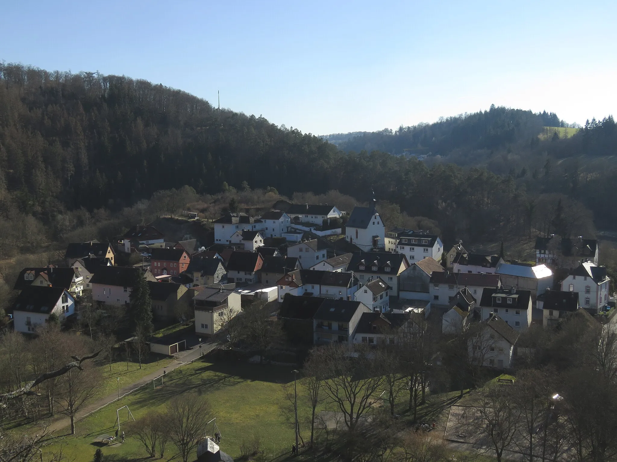
Hausen über AarVillagePass through Hausen über Aar, a charming village known for its traditional architecture.
41 km
41 km
Heiligenberg199 mPeakClimb Heiligenberg and be rewarded with breathtaking panoramic views.
50 km
50 km
Unter den LindenViewpointCycle along Unter den Linden, a picturesque road lined with lime trees.
56 km
56 km
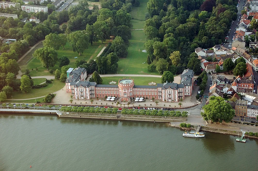
Burg RunkelCastleVisit Burg Runkel, a medieval castle perched on a hill overlooking the Lahn River.
68 km
68 km
LangheckeVillageConquer the challenging Langhecke climb and enjoy magnificent views at the top.
73 km
73 km
Hell330 mPeakPass by Hell, a small village known for its idyllic surroundings.
87 km
87 km
DombachVillageDiscover Dombach, a tranquil village with a rich history.
91 km
91 km
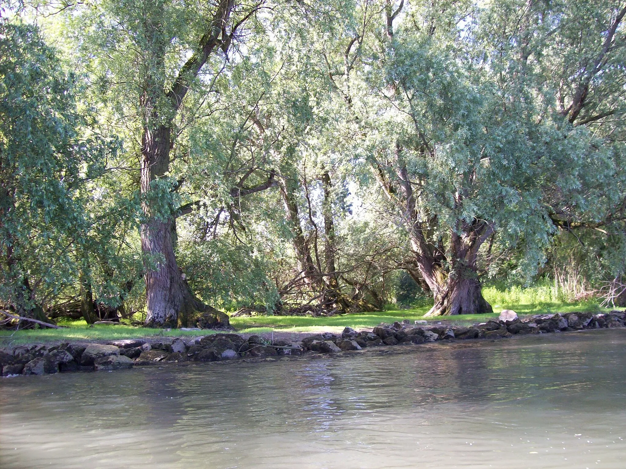
Totenkopf410 mPeakCycle through Totenkopf, a beautiful nature reserve with diverse flora and fauna.
106 km
106 km
EhlhaltenVillageVisit Ehlhalten, a charming village with half-timbered houses.
112 km
112 km
Hellenberg358 mPeakExplore Hellenberg, a peaceful spot with marvelous views of the surrounding nature.
122 km
122 km
GoethewarteViewpointTake a break at Goethewarte and enjoy panoramic views over the Taunus mountains.
123 km
123 km
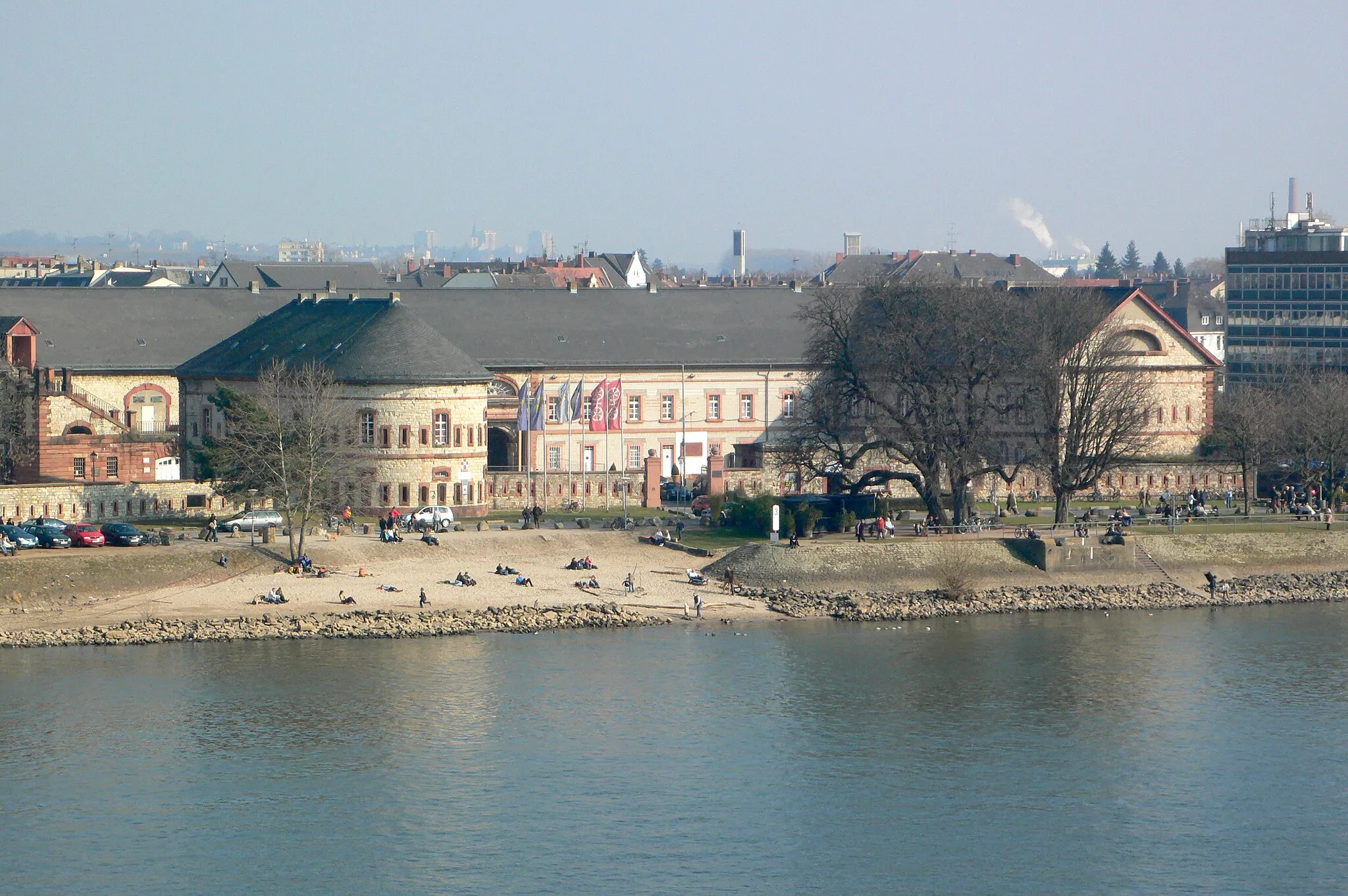
RömertorAttractionPass through the iconic Römertor, an ancient entrance to the city of Wiesbaden.
126 km
126 km
Finish: Locality centerDotzheim: Cycling paradise with challenging climbs and beautiful scenery.
Cycling routes nearby: