Dotzheim Road Challenge
A road cycling route starting from Dotzheim
Take on the ultimate road cycling challenge near Dotzheim
Map
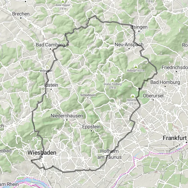
This challenging 122-kilometer road route near Dotzheim is perfect for experienced cyclists seeking a thrilling adventure. With 1850 meters of ascent, this ride will test your endurance and climbing skills. Enjoy breathtaking views from the top of Roßberg and conquer the demanding Saalburgpass.
road
122 km
1850 m
Savage
Route profile
Highlights on the route
0 km
0 km
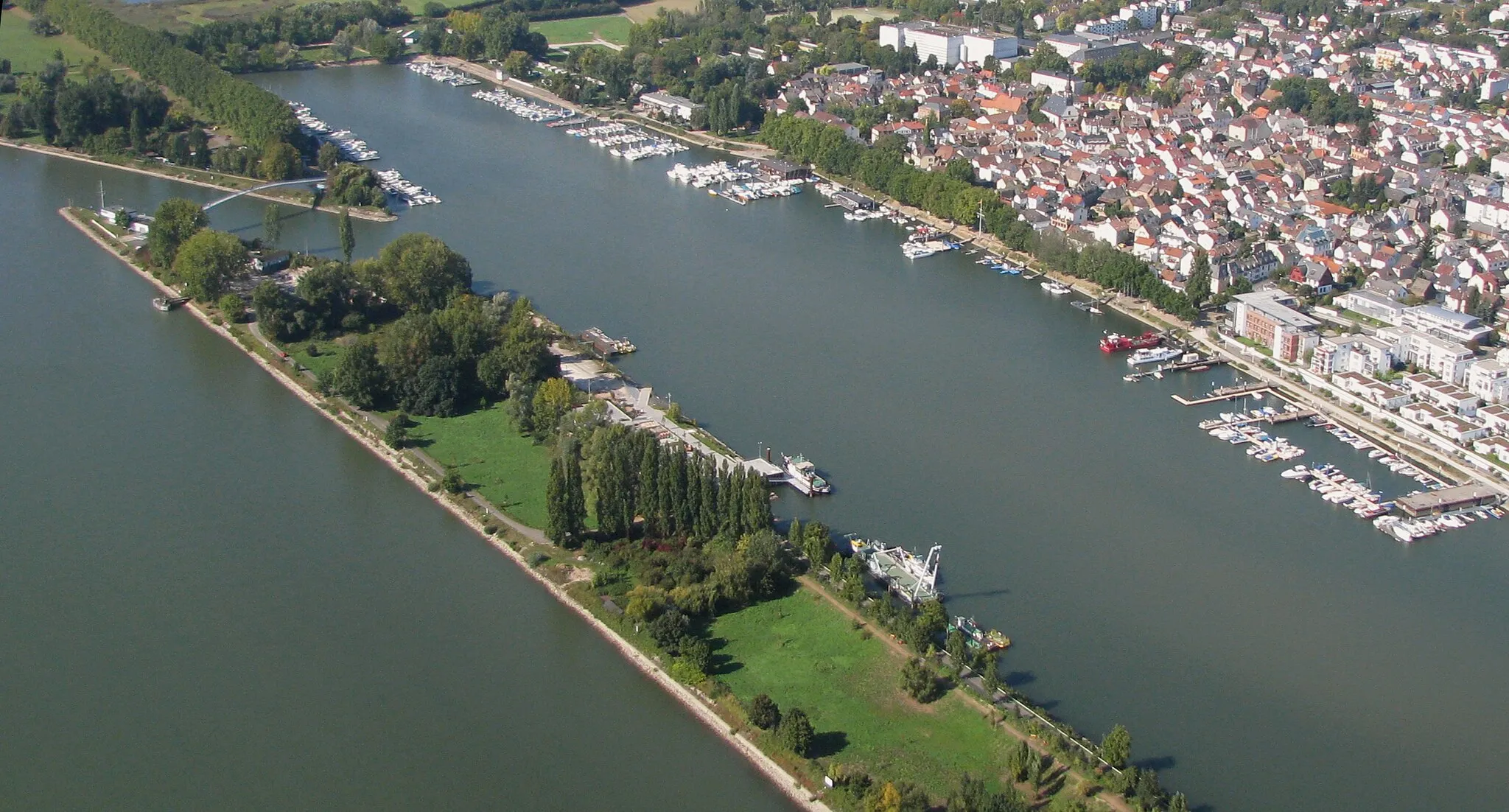
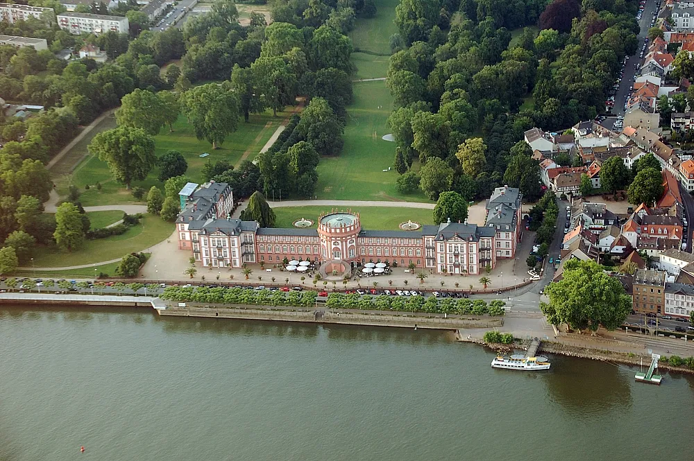
Start: Locality centerDotzheim: Cycling paradise with challenging climbs and beautiful scenery.
Dotzheim in Germany is a picturesque locality for road and gravel cycling. The region offers a mix of challenging climbs and scenic routes that wind through beautiful countryside. One of the most famous cycling spots nearby is the Niederwald Monument, a popular destination for cyclists looking to test their legs on steep ascents. Dotzheim is a great place for cycling enthusiasts who enjoy a variety of terrain and stunning views.3 km
3 km
RömertorAttractionPass through the scenic Römertor, an ancient gateway to the city.
4 km
4 km
GoethewarteViewpointVisit the Goethewarte and take in panoramic views of the surrounding countryside.
15 km
15 km
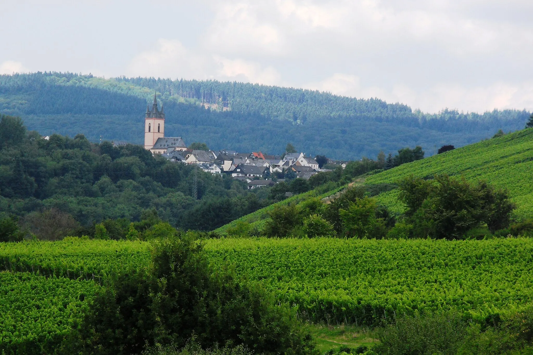
NeuhofVillageExplore Neuhof, a charming village with traditional architecture.
20 km
20 km
Roßberg426 mPeakReach the summit of Roßberg and enjoy stunning vistas of the surrounding nature.
31 km
31 km
WürgesVillagePass through Würges, a picturesque village surrounded by rolling hills.
41 km
41 km
Kuhbett525 mPeakExperience the thrill of Kuhbett, a challenging climb with scenic views at the top.
49 km
49 km
Lehnchen362 mPeakStop by Lehnchen, a tranquil spot with beautiful landscapes.
62 km
62 km
WesterfeldSub-urbExplore the picturesque village of Westerfeld with its traditional half-timbered houses.
70 km
70 km
Saalburgpass414 mMountain PassConquer the demanding Saalburgpass, a legendary climb among cyclists.
75 km
75 km
DornholzhausenSub-urbPass through the scenic village of Dornholzhausen known for its charming streets and traditional houses.
85 km
85 km
OberhöchstadtSub-urbReach Oberhöchstadt and enjoy panoramic views of the Taunus mountains.
93 km
93 km
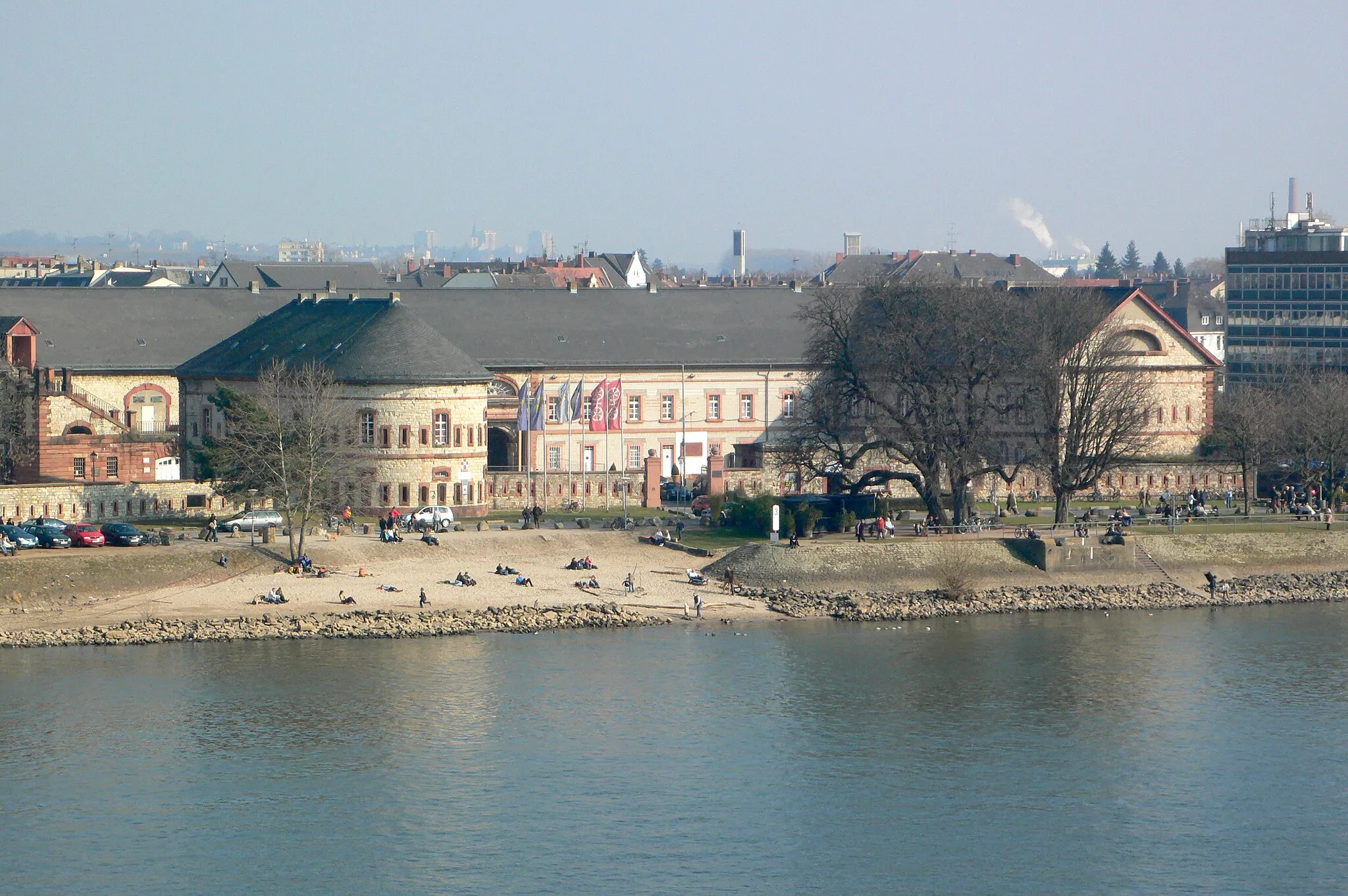
WasserturmViewpointPass by the Wasserturm, a unique landmark with an interesting history.
107 km
107 km
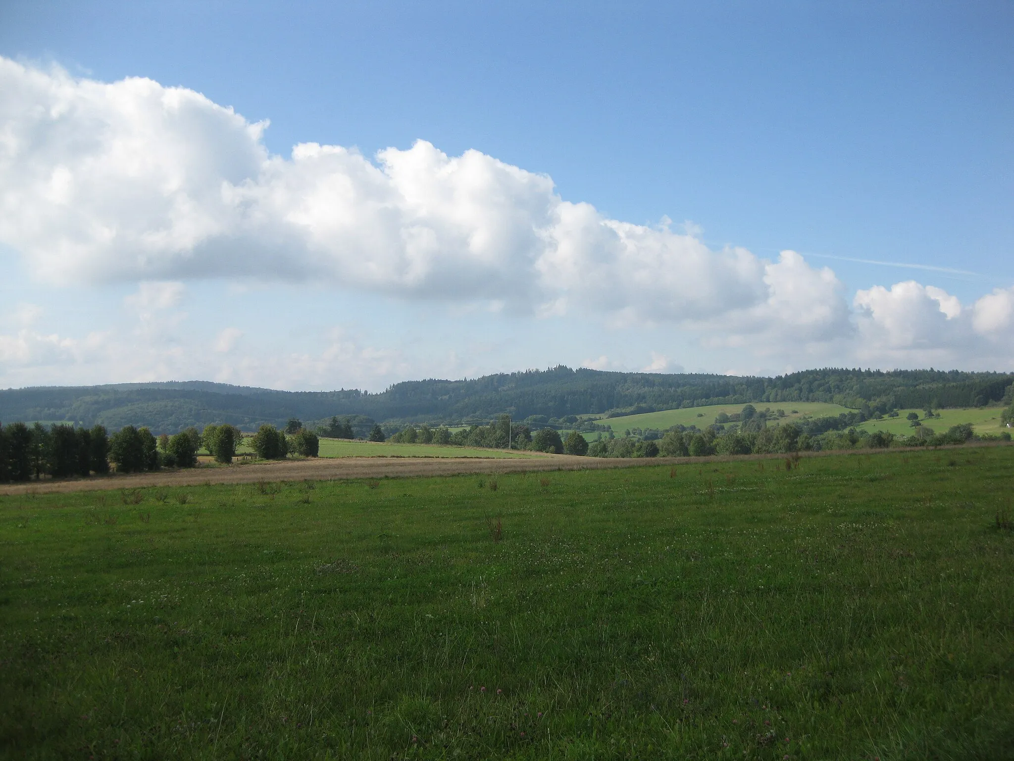
WandersmannViewpointExperience the beauty of Wandersmann, a quiet spot surrounded by nature.
114 km
114 km
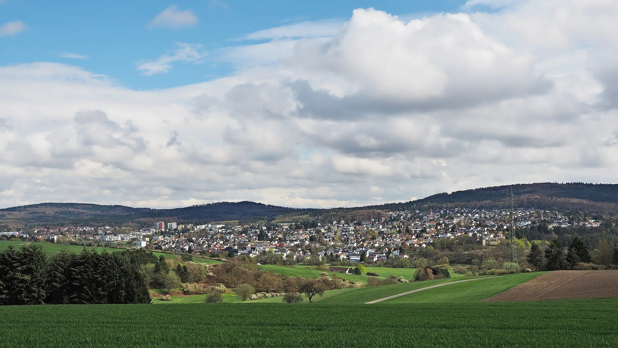
ErbenheimTownExplore the historic town of Erbenheim with its charming old buildings.
122 km
122 km
Finish: Locality centerDotzheim: Cycling paradise with challenging climbs and beautiful scenery.
Cycling routes nearby: