Gravel Meisterschaft
A gravel cycling route starting from Lieblos
Test your gravel cycling skills on adventurous paths and rural landscapes near Büdingen.
Map
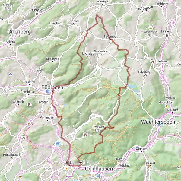
This 56-kilometer round-trip gravel route starting near Lieblos offers a challenging adventure for experienced gravel cyclists. With an ascent of 1018 meters, it provides a test of endurance and skill. Highlights along the route include the unique rock formation known as Wilder Stein, the historic town of Büdingen, and the picturesque Roth. This route is recommended for experienced riders looking for a thrilling gravel cycling experience in the region.
gravel
56 km
1018 m
Savage
Route profile
Highlights on the route
0 km
0 km
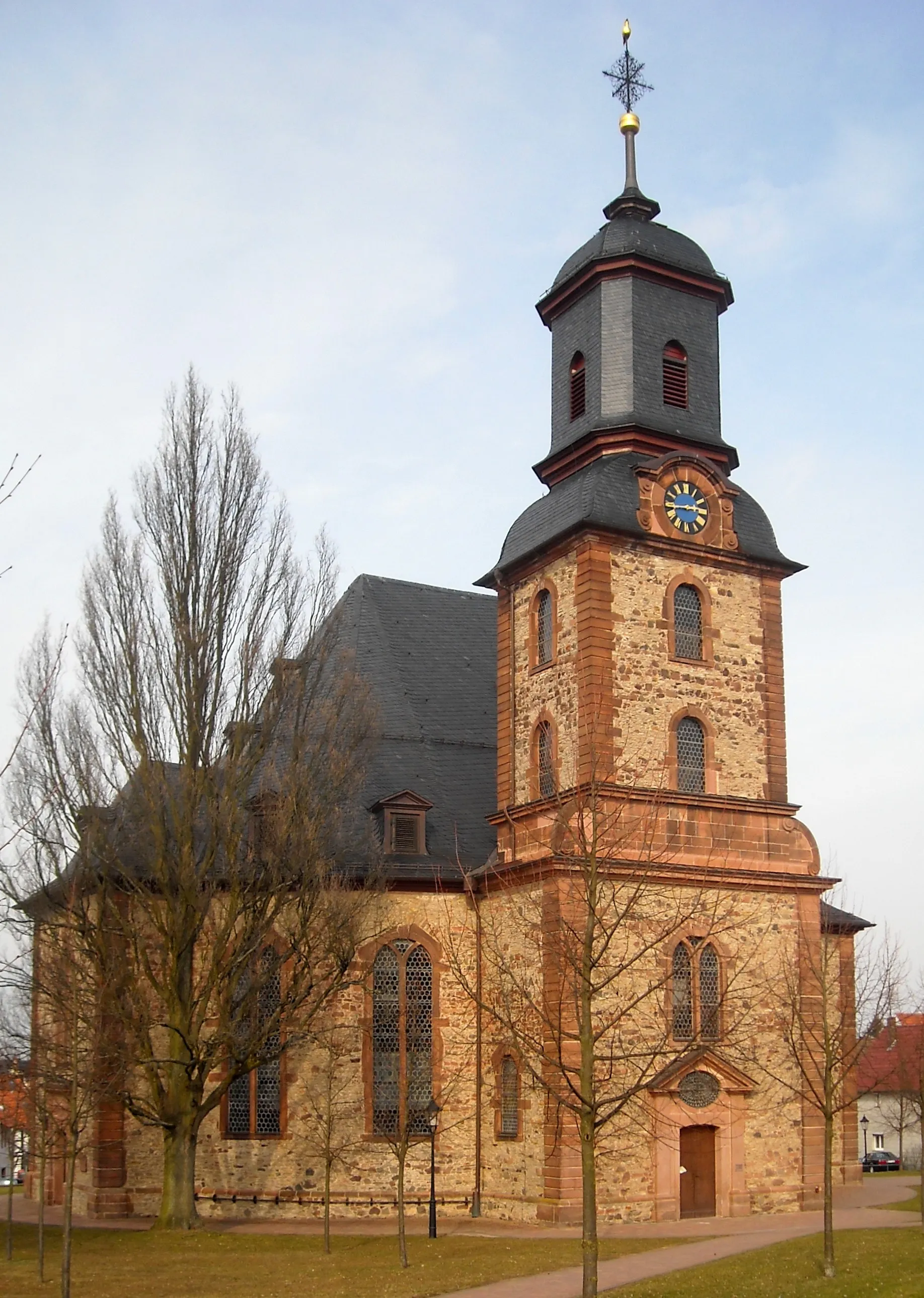
Start: Lieblos Village centerLieblos: Exploring Lieblo's charming countryside and taking on the challenging Hasselberg climb.
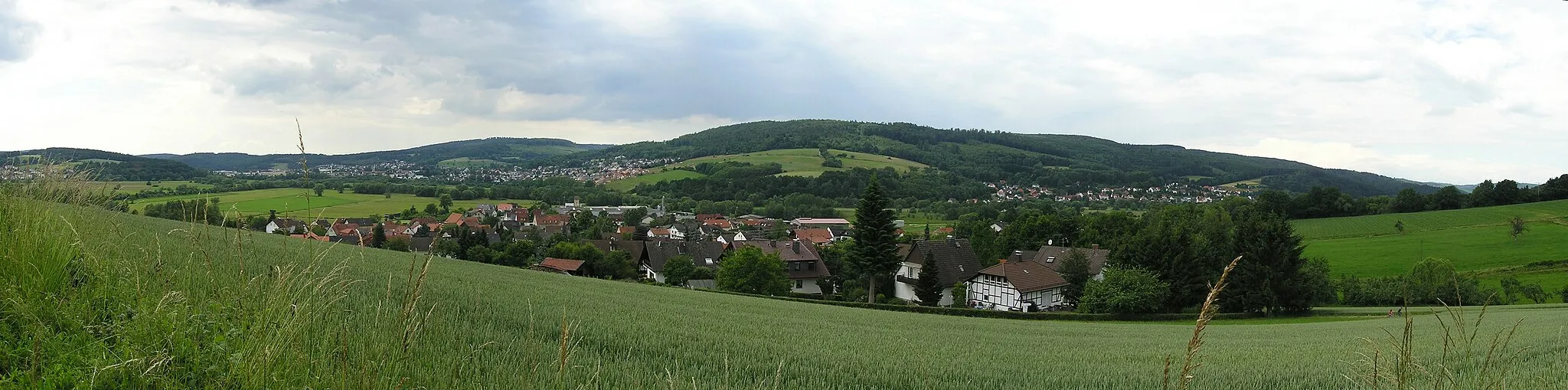
Lieblos is a locality located in the Darmstadt region of Germany. For road and gravel cyclists, Lieblos offers a range of biking opportunities. The town itself has some bike-friendly facilities, such as bike rentals and repair shops. Cyclists can explore the surrounding countryside and charming villages on well-marked roads and paths. The region has a mix of flat and hilly terrain, providing options for both leisurely rides and challenging climbs. One well-known cycling spot nearby is the Hasselberg climb, which offers rewarding views at the top. Overall, Lieblos is a good destination for road and gravel cyclists looking for varied cycling routes and scenic landscapes.11 km
11 km
Wilder SteinViewpointWilder Stein is a unique rock formation that attracts climbers and offers stunning views of the surrounding landscapes.
11 km
11 km
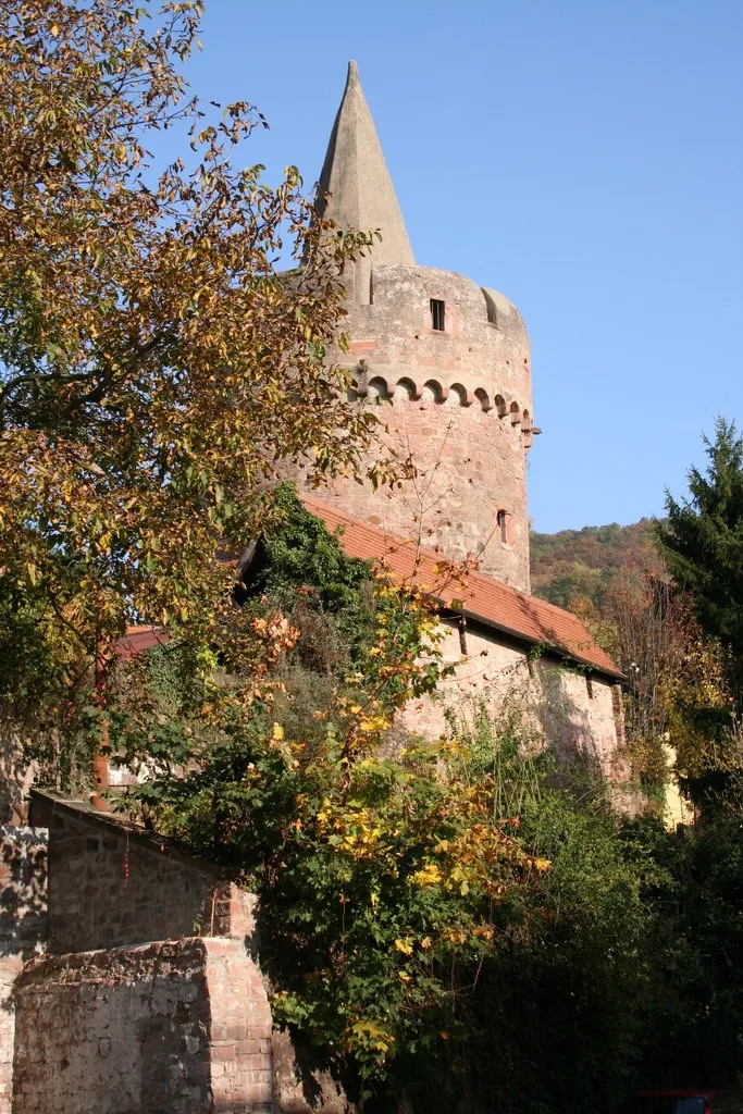
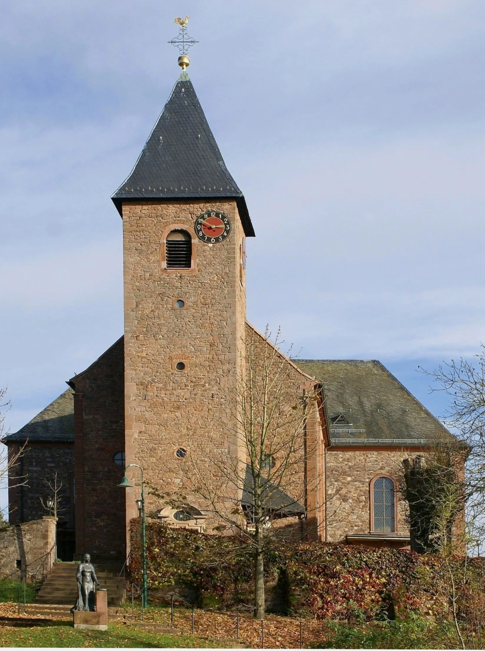
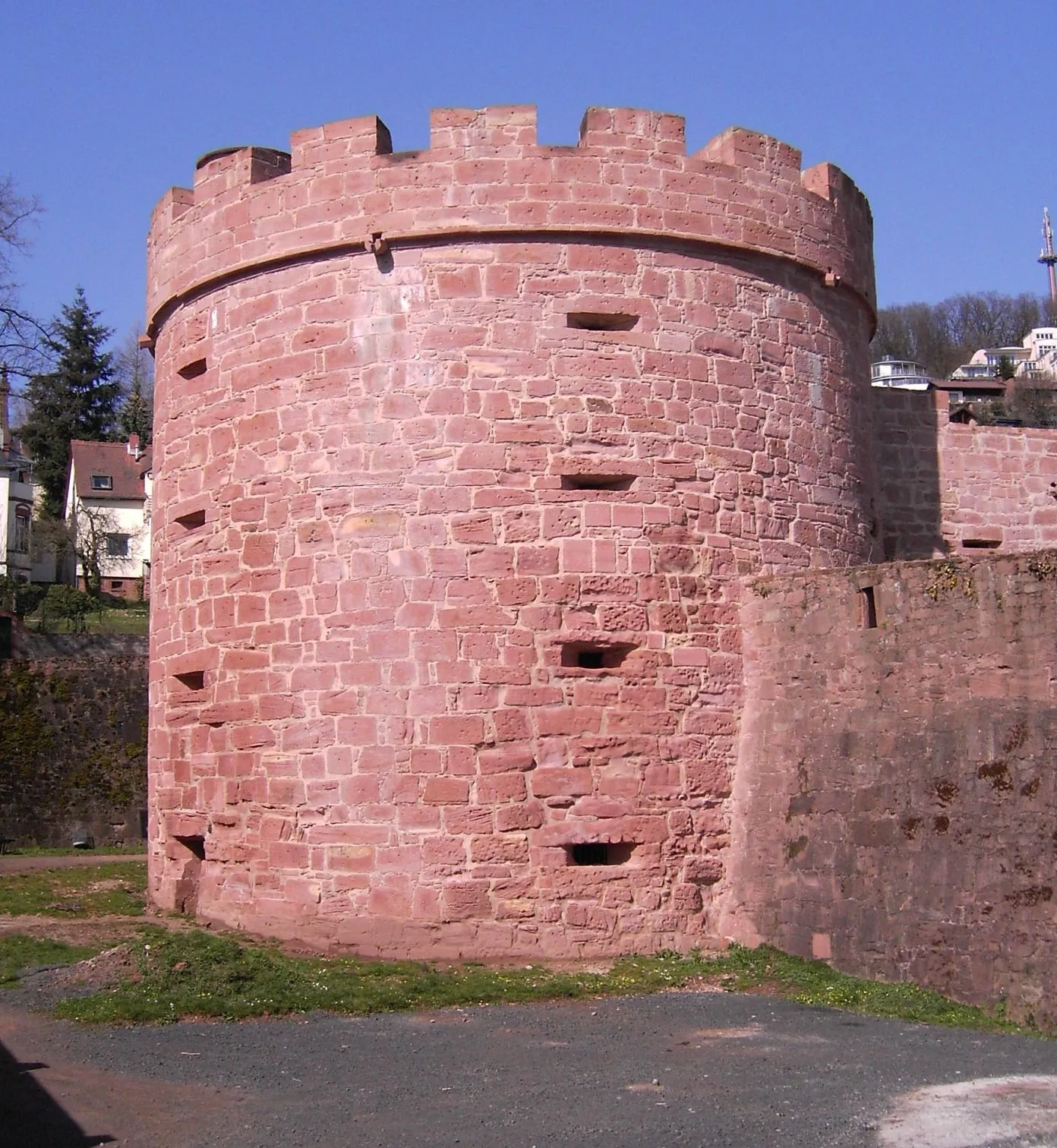
BüdingenTownBüdingen is a medieval town with well-preserved fortifications, half-timbered houses, and a charm that takes you back in time.
41 km
41 km
Dachsberg392 mPeakDachsberg is a challenging area with steep climbs, technical descents, and breathtaking views of the enchanting nature around.
48 km
48 km
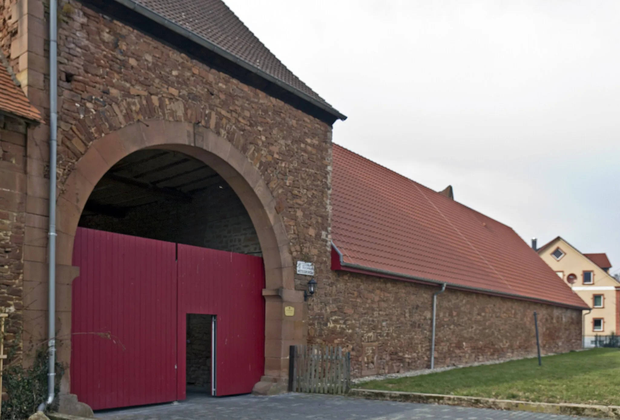
Karls-HütteShelterKarls-Hütte is a historic spot with ruins and a fascinating history, surrounded by the peaceful countryside.
54 km
54 km
Herzberg255 mPeakHerzberg, located along the route, is worth exploring for its picturesque location and cozy atmosphere.
54 km
54 km
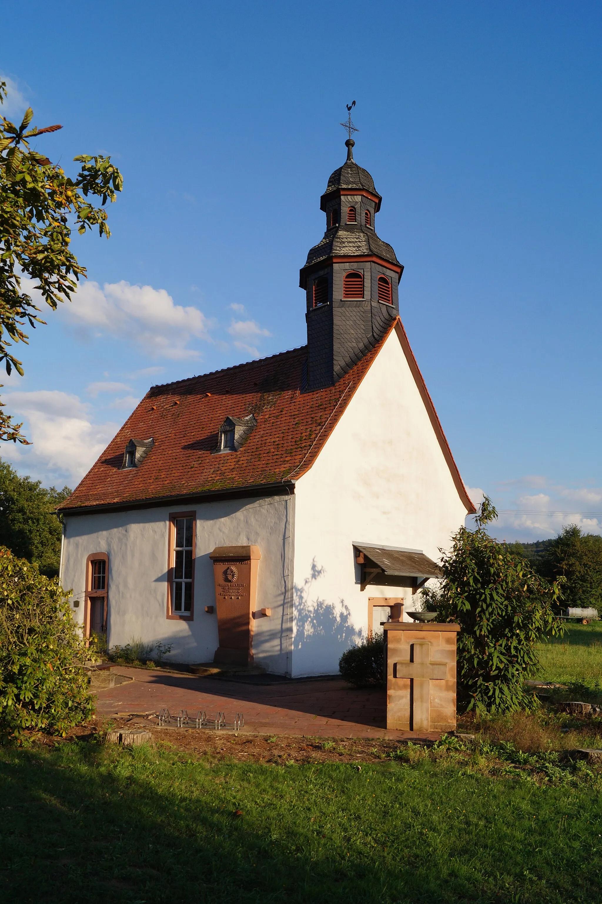
RothVillageRoth is known for its traditional half-timbered houses, charming cafes, and beautiful countryside views.
56 km
56 km
Finish: Lieblos Village centerLieblos: Exploring Lieblo's charming countryside and taking on the challenging Hasselberg climb.
Cycling routes nearby: