Exploring Geiselbach's peaceful countryside on two wheels
Cycling routes from Geiselbach
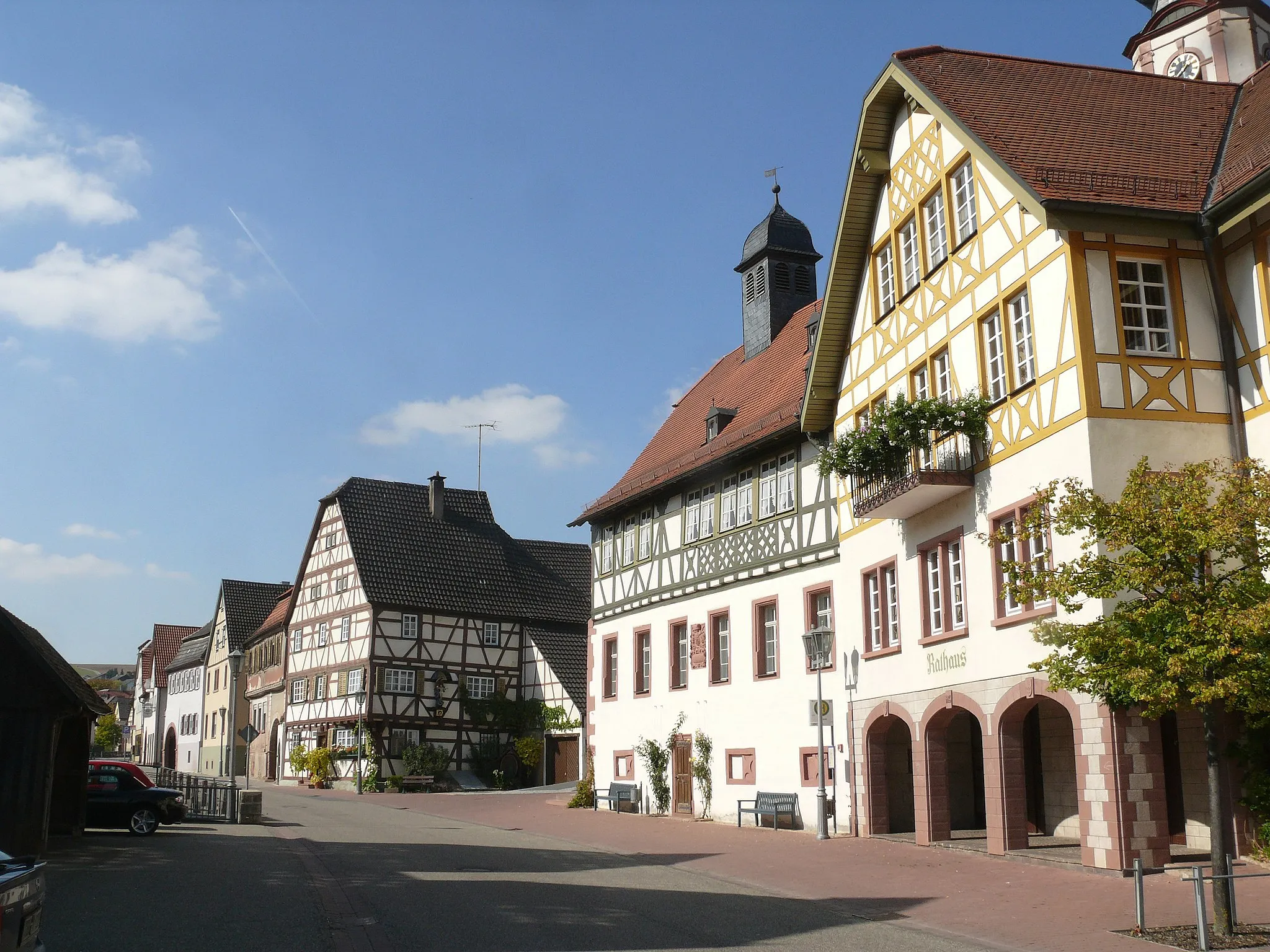
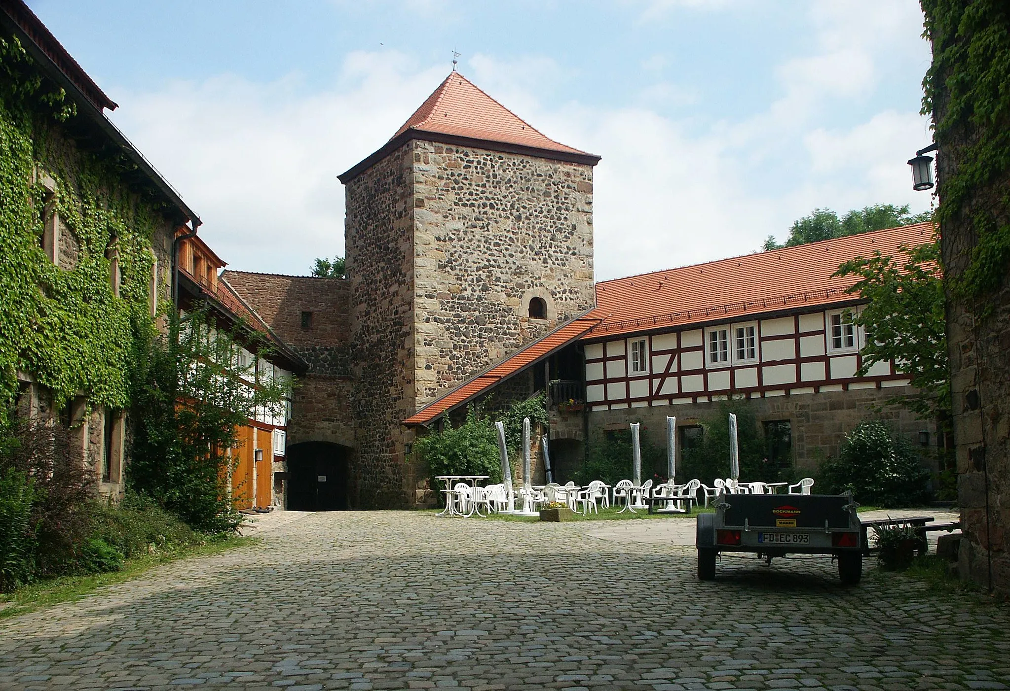
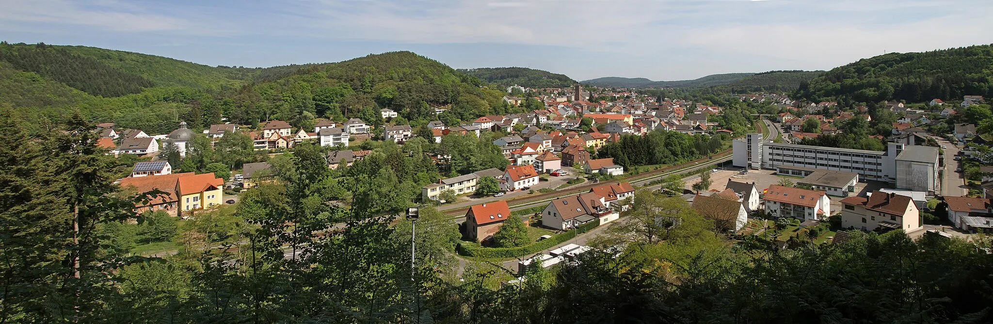
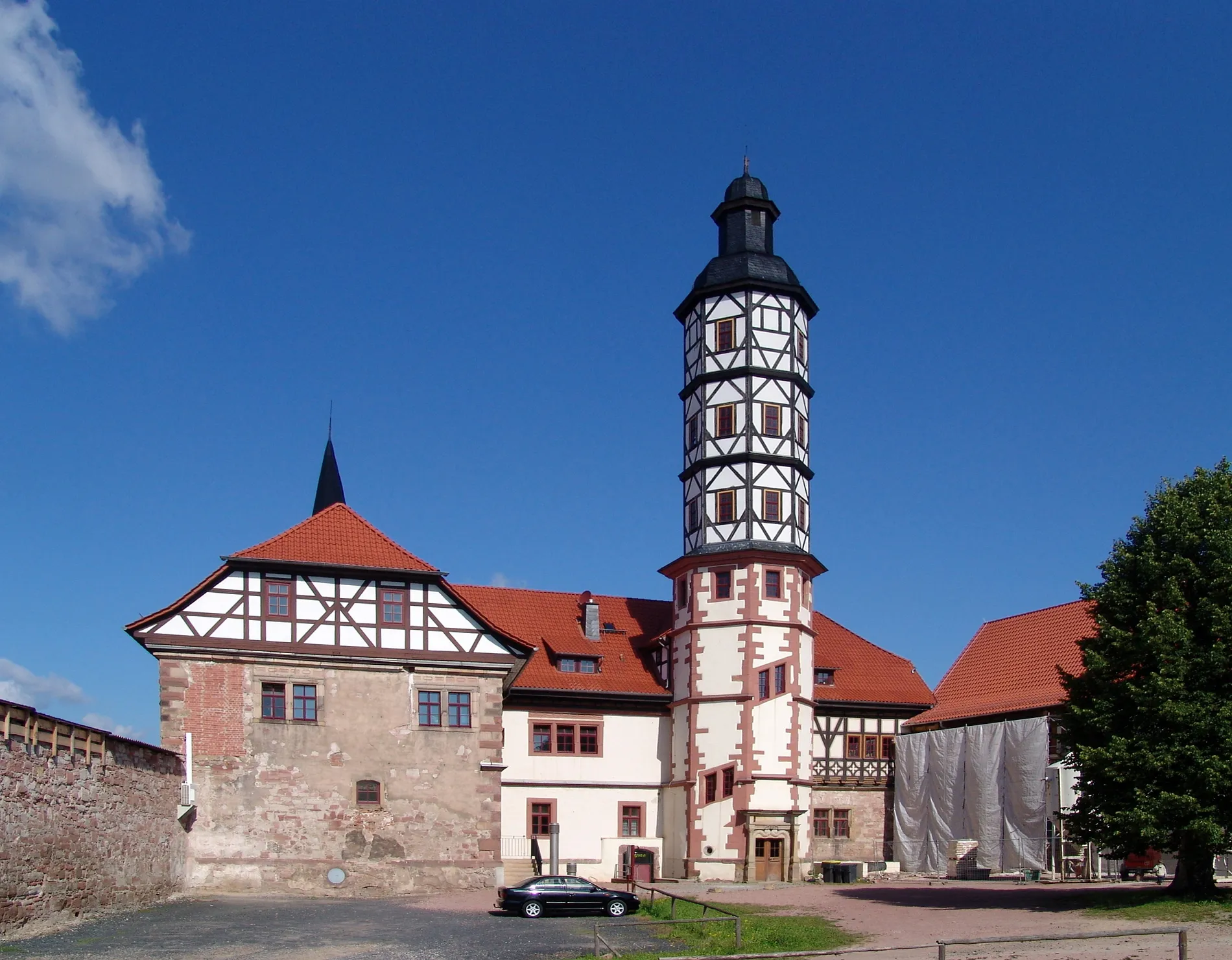
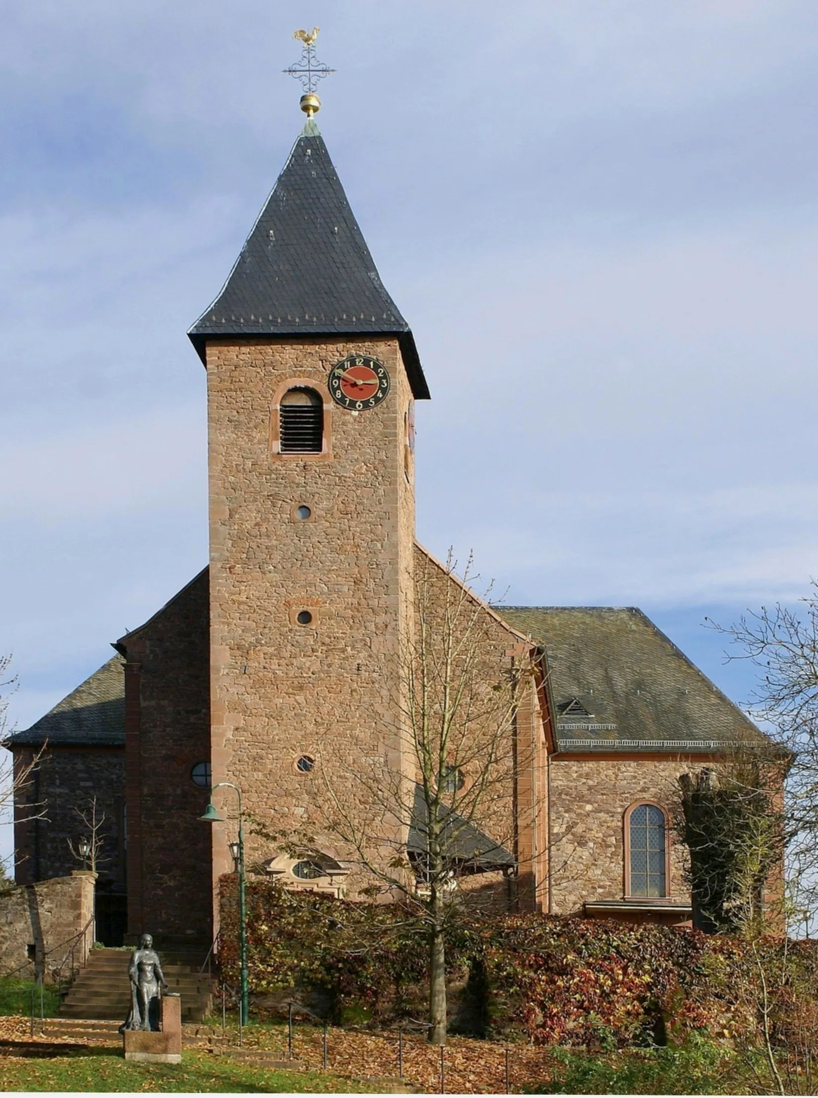
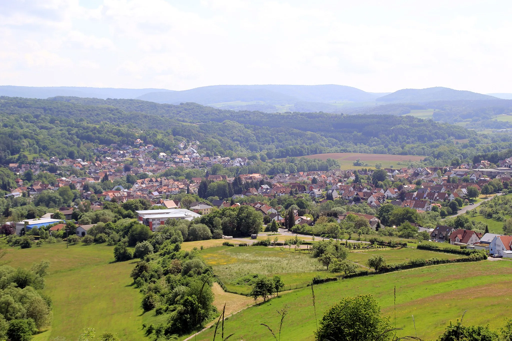
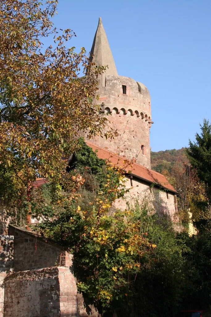
Geiselbach is a locality in Unterfranken, Germany. From a cyclist's perspective, Geiselbach offers various quiet country roads ideal for road and gravel cycling. The region is characterized by rolling hills and tranquil farmland, providing a peaceful and picturesque environment for cycling enthusiasts. Nearby, you can find the Spessart Nature Park, which offers numerous cycling trails through forests and along rivers. Cyclists can also explore the Historic Route through Geiselbach, showcasing the town's rich history and heritage. Overall, Geiselbach is a charming destination for cyclists seeking tranquility, natural beauty, and a taste of traditional German culture.
Embark on a thrilling road cycling adventure to Riesenküppel and Gemünden am Main
This road cycling route takes riders on an exhilarating adventure to Riesenküppel and Gemünden am Main. With a distance of 81 km and an ascent of 1077 meters, this route offers a challenging experience for well-trained amateurs. Highlights of the route include Niedermittlau, Wilder Stein, and Raue Heil, providing scenic views and a chance to explore picturesque villages along the way. Overall, this route showcases the natural beauty and cultural heritage of Unterfranken.
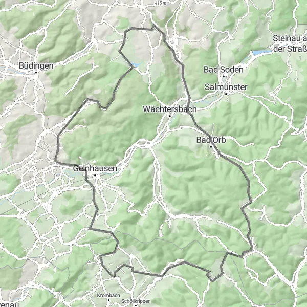
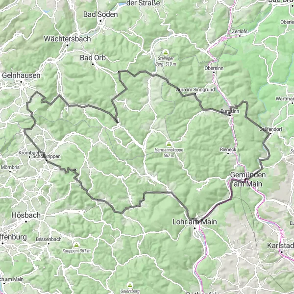
Explore the countryside and picturesque views near Geiselbach on this gravel route
This gravel cycling route takes riders on a scenic adventure through the beautiful countryside near Geiselbach. With a distance of 88 km and an ascent of 1211 meters, this route provides a challenging yet rewarding experience for amateur cyclists. Highlights include Herzberg, Eichelkopf, and Bad Orb, offering breathtaking views and a chance to discover charming villages along the way. Overall, this route showcases the natural beauty of Unterfranken and provides an opportunity to immerse in the tranquility of the region.
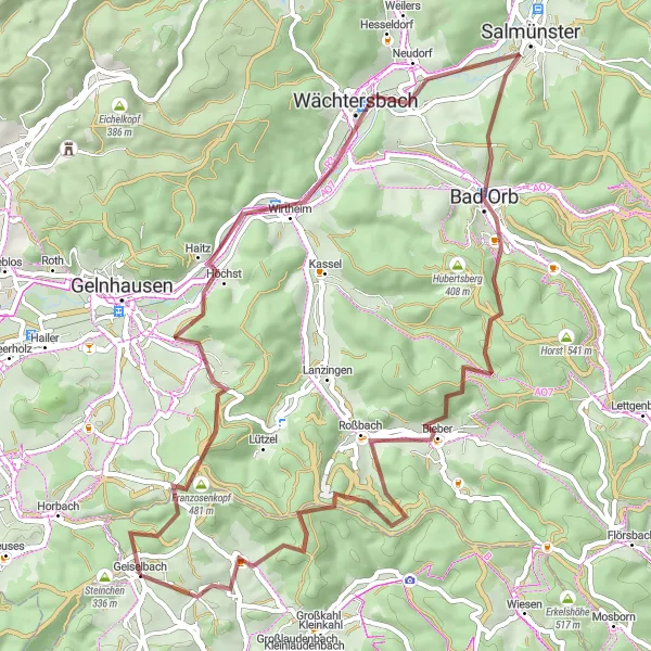
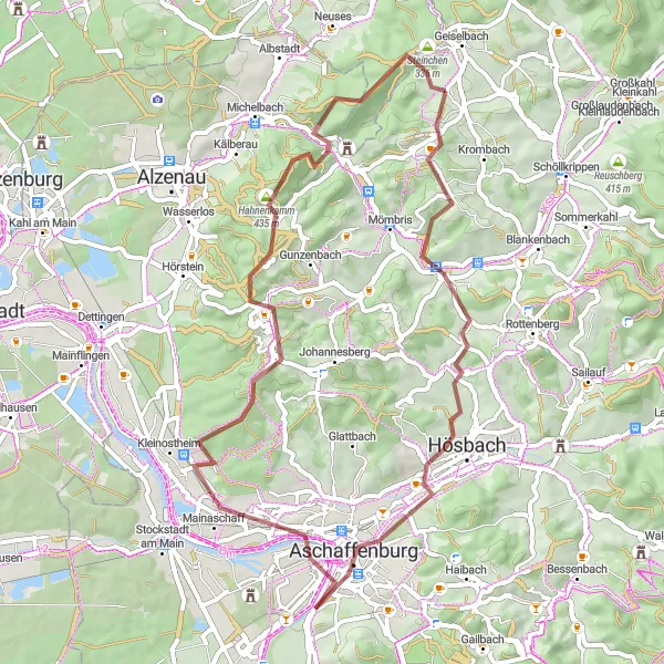
Embark on a charming gravel ride through Geiselbach's beautiful surroundings
Experience the beauty of Geiselbach's countryside on this charming gravel cycling route. With an elevation gain of 1226 meters and a distance of 62 kilometers, this ride offers a perfect balance between challenge and enjoyment. Highlights include the rugged Raue Heil, the scenic village of Haitz, and the picturesque Wächtersbach.
Embark on a thrilling gravel ride to Steigkoppe and Aschaffenburg
This gravel cycling route takes riders on an exciting journey to Steigkoppe and Aschaffenburg. With a distance of 78 km and an ascent of 1911 meters, this route provides a challenging adventure for gravel enthusiasts. Highlights include Burgstall Wahlmich, Buschhöhe, and Rückersbach, offering spectacular views and a chance to discover the unique landscapes of Unterfranken. Overall, this route showcases the diverse terrain and cultural attractions of the region.
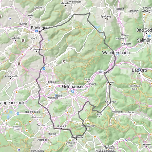
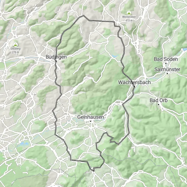
Enjoy a challenging and scenic cycling route near Geiselbach
Experience a variety of landscapes and attractions on this round-trip cycling route starting near Geiselbach. From the stunning Riesenküppel hill to the historical town of Büdingen, this route offers both natural beauty and cultural highlights. With a moderate ascent and a distance of 72 kilometers, it provides a good challenge for well-trained amateur cyclists.
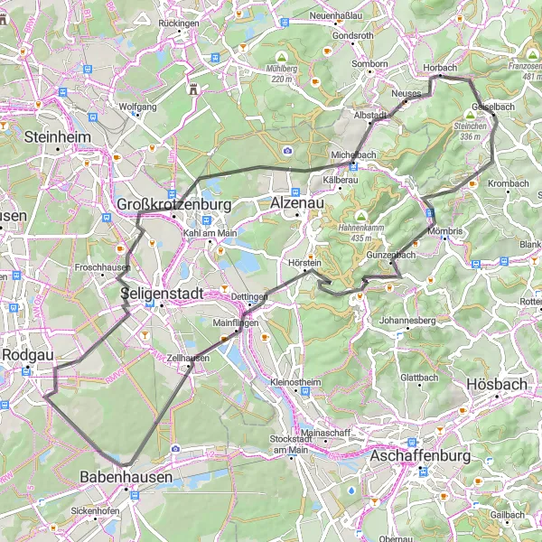
Experience the beauty of Geiselbach's surroundings on this road cycling route
Discover the scenic roads and historical delights of Geiselbach's surroundings on this road cycling route. With a moderate ascent of 754 meters and a total distance of 74 kilometers, this route offers a pleasant journey through diverse landscapes. Highlights include the picturesque town of Mömbris, the panoramic views from Zellhausen, and the charming village of Michelbach.
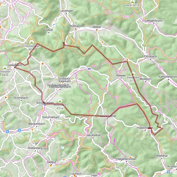
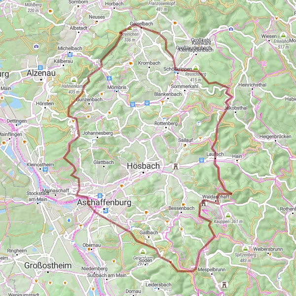
Ride towards Franzosenkopf and Geiselbach on this exciting gravel route
This gravel cycling route takes you on an adventurous journey to Franzosenkopf and Geiselbach. Covering a distance of 53 km and an ascent of 1031 meters, this route offers a moderate challenge for gravel cyclists. Highlights of the route include Roßbacher Wäldchen, Erkelshöhe, and Heinrichsthal, which provide scenic views and a chance to immerse in the natural beauty of Unterfranken. Overall, this route allows cyclists to explore the picturesque landscapes and traditional charm of the region.
Cycle through Geiselbach and Franzenkopf on this road route
This road cycling route takes you through the picturesque village of Geiselbach and the stunning Franzenkopf. With a distance of 140 km and an ascent of 1910 meters, this route is challenging for well-trained amateurs. The route also includes highlights like Raue Heil, Roßbach, and Schwarzer Berg. Overall, this route offers breathtaking views of the countryside and a chance to explore the charming villages of Unterfranken.
Embark on a captivating gravel cycling adventure near Geiselbach
Immerse yourself in a captivating gravel cycling adventure near Geiselbach. With an elevation gain of 1010 meters and a distance of 55 kilometers, this route offers variable scenery and historical landmarks. Highlights include the scenic Münchberg, the charming town of Hösbach, and the historical Aschaffenburg with its impressive architectural heritage. Experience both challenging ascents and serene countryside roads on this epic cycling journey.
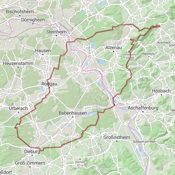
Embark on a thrilling gravel cycling adventure near Geiselbach
Discover the beauty of Unterfranken's countryside on this captivating gravel cycling route starting near Geiselbach. With an elevation gain of 1222 meters and a distance of 107 kilometers, this route offers a challenging and adventurous experience. From the scenic Heidkopf to the picturesque town of Stockstadt am Main, each highlight along the way is worth a visit.
Cycling routes nearby:


Nearby regions: