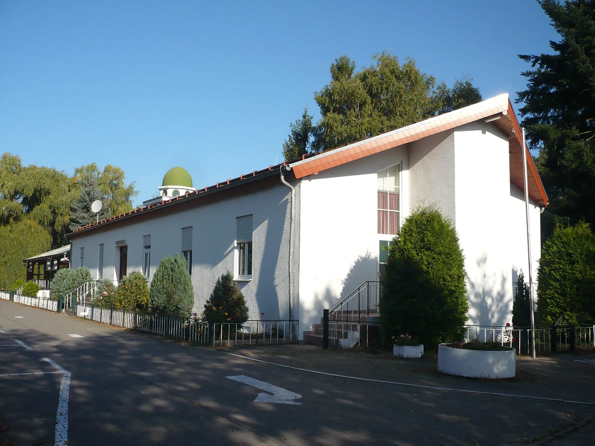
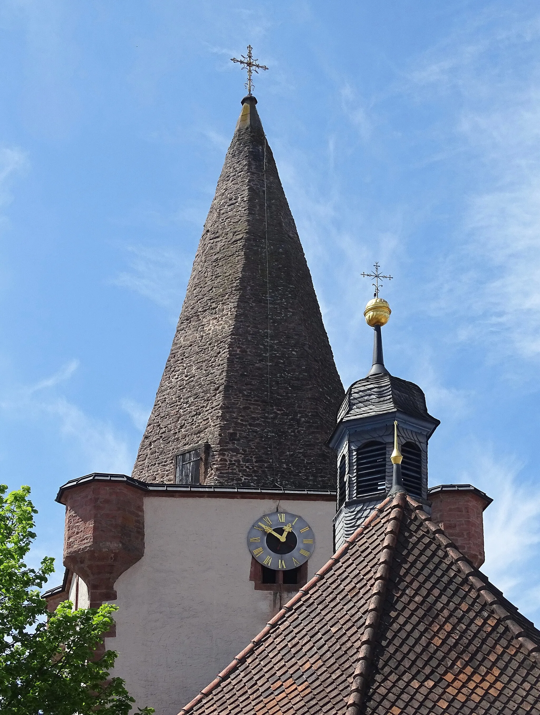
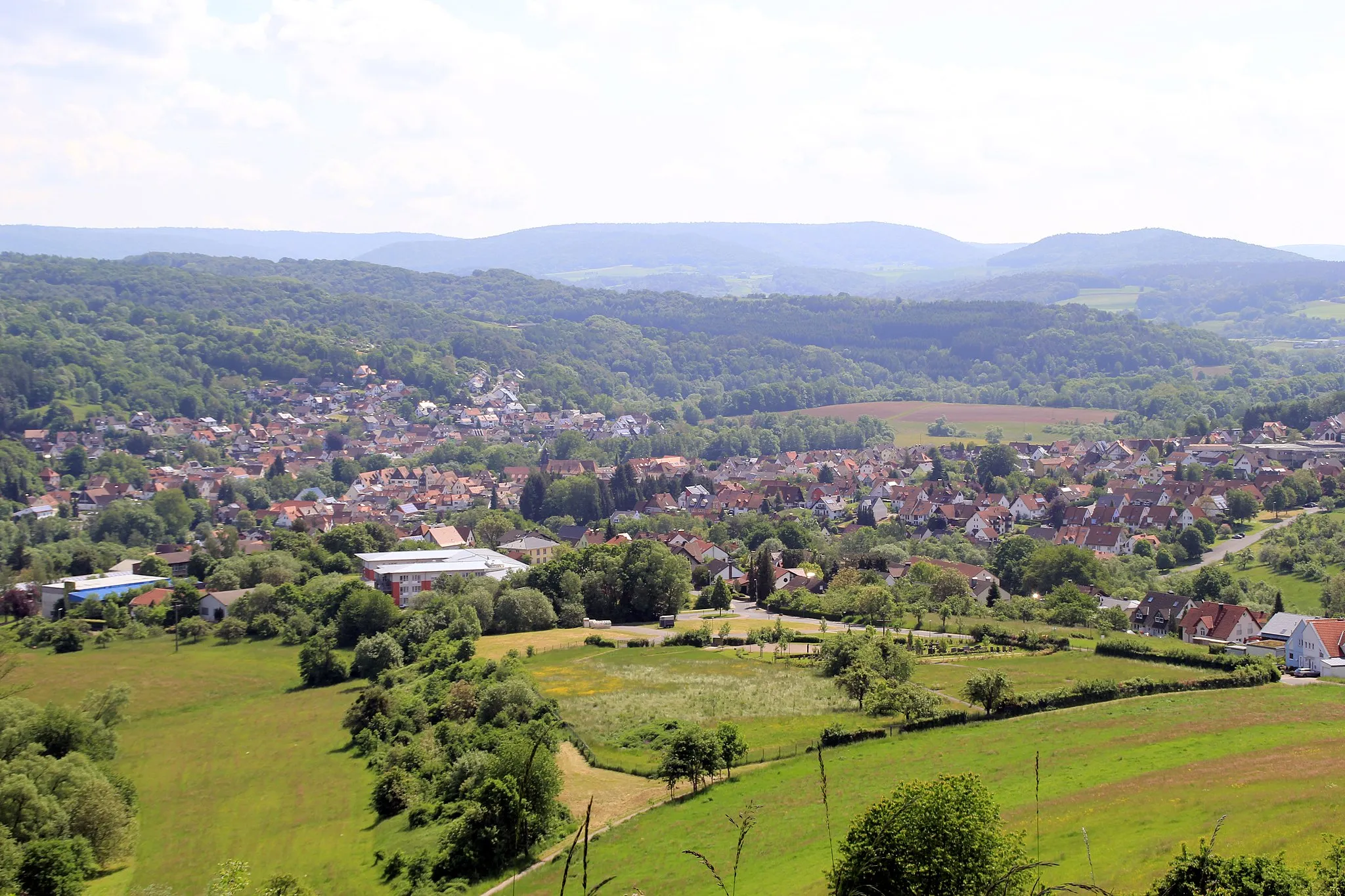
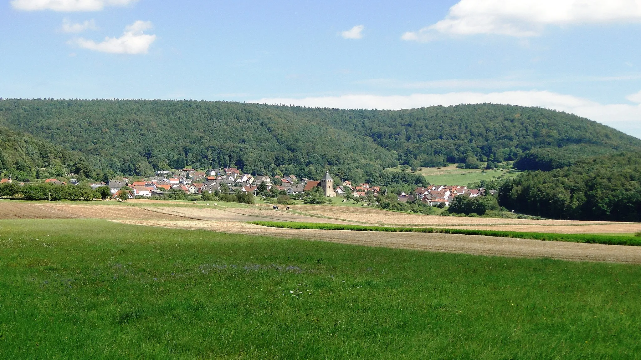
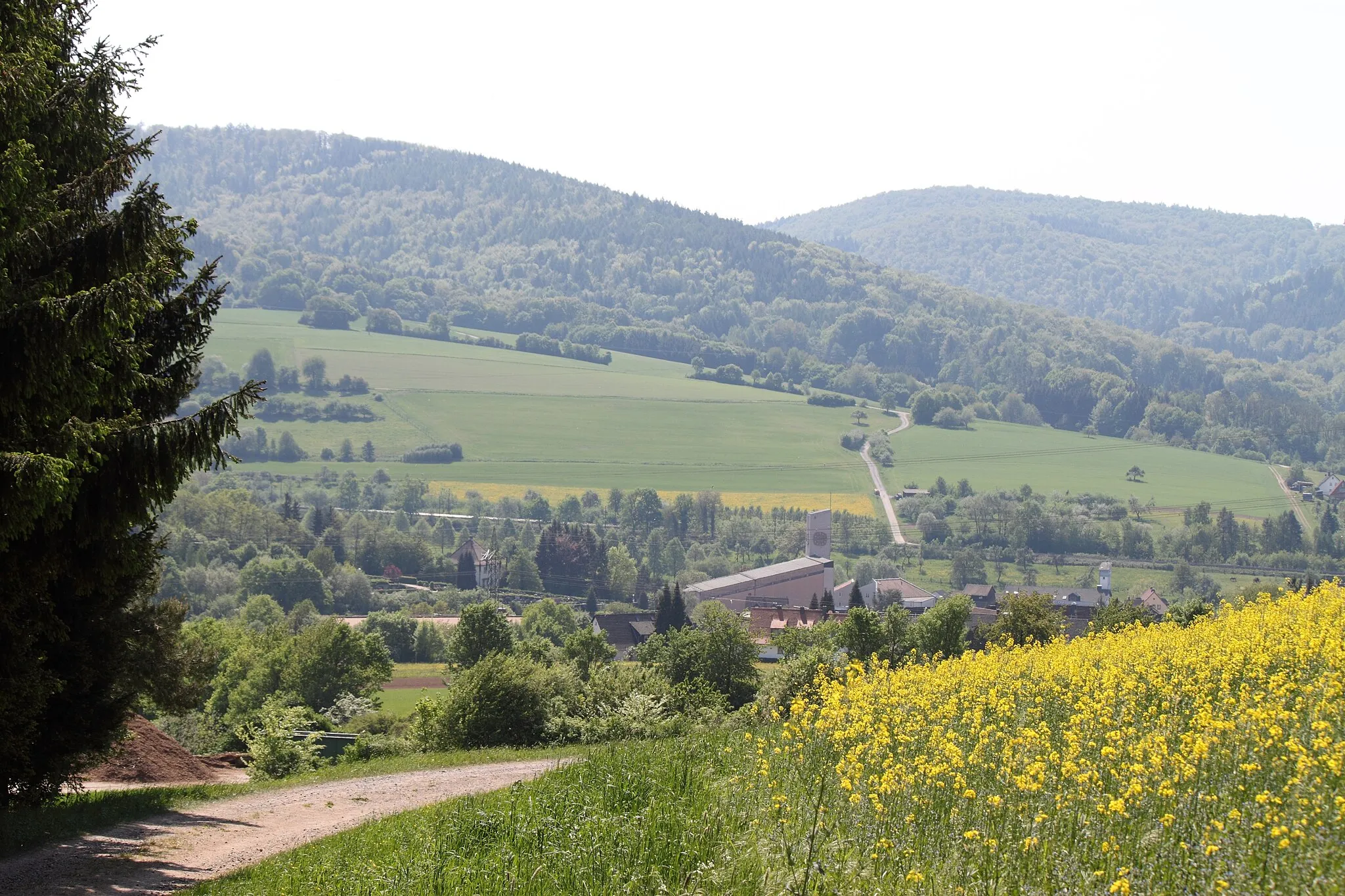
A scenic town with peaceful countryside roads in Unterfranken, Germany.
Cycling routes from Blankenbach
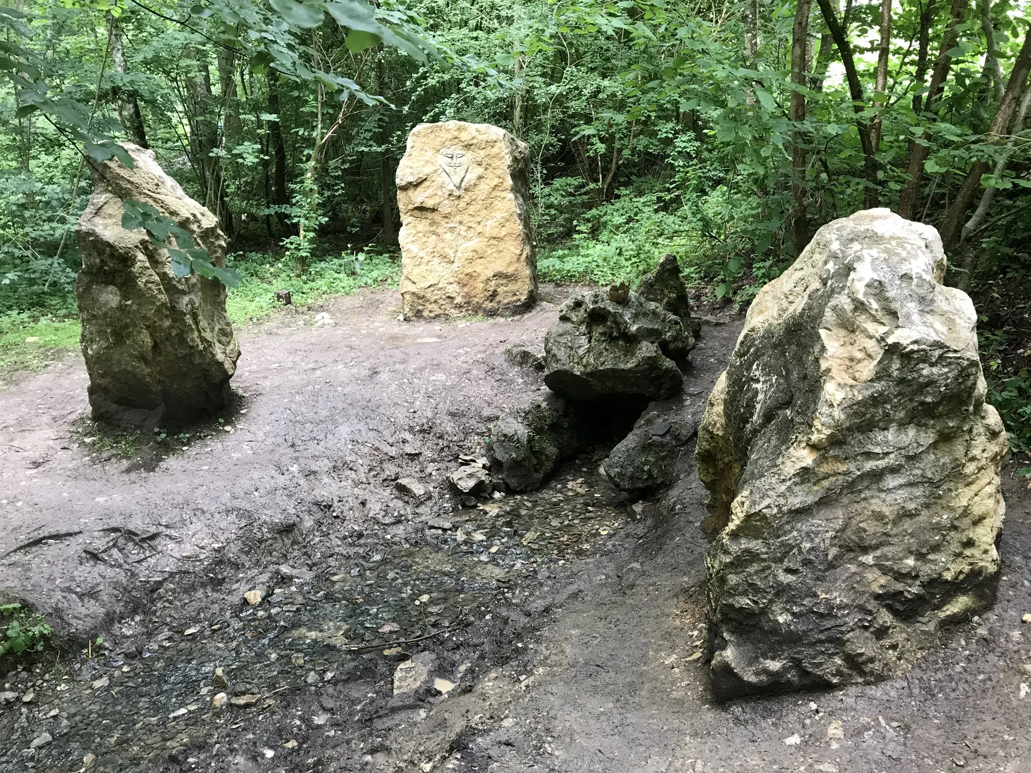
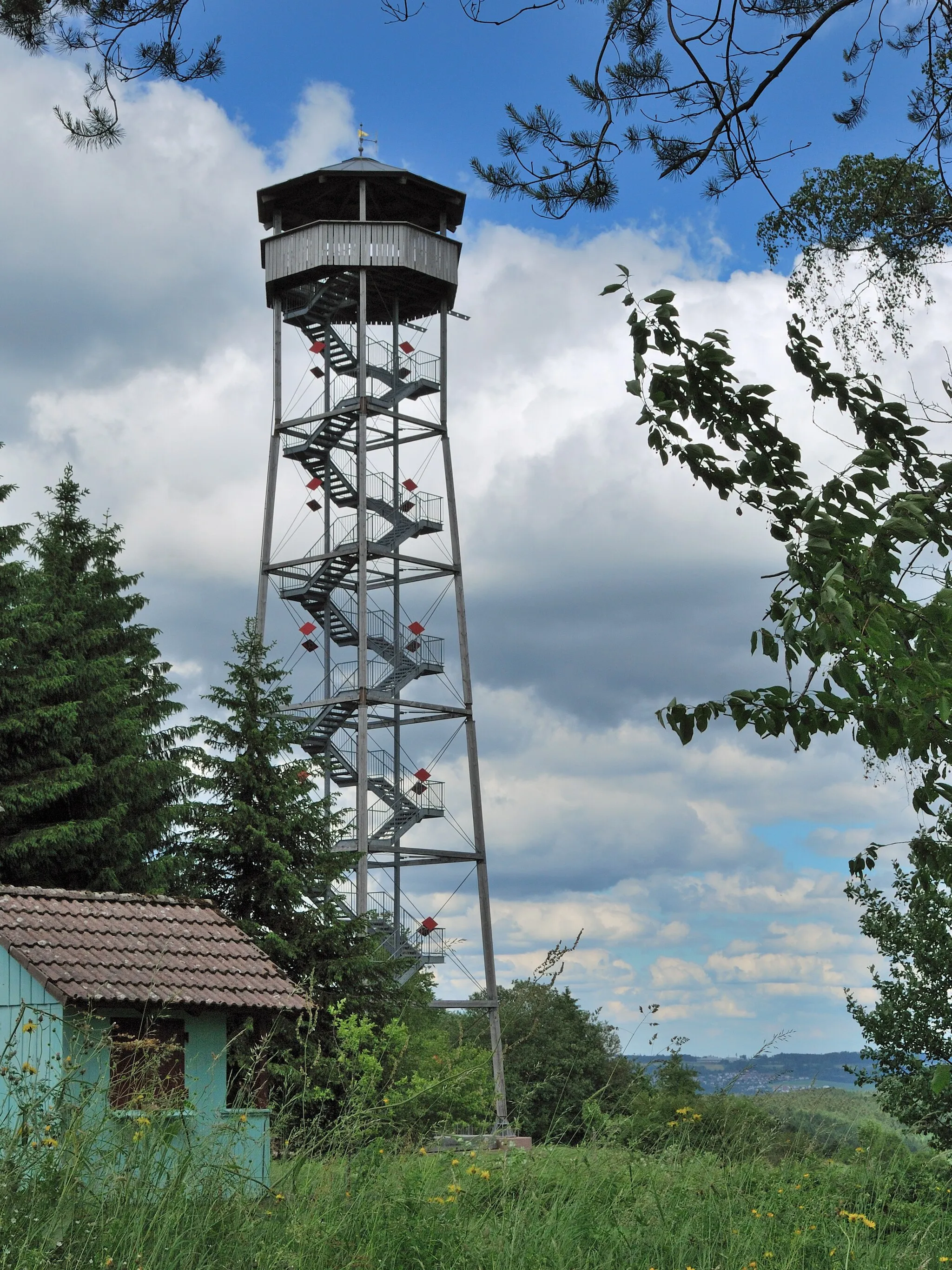
Blankenbach is a small town located in the region of Unterfranken, Germany. The locality provides picturesque landscapes and scenic cycling routes, making it a favorable destination for road and gravel cyclists. Cyclists can enjoy cycling through peaceful countryside roads and rolling hills, surrounded by beautiful farmlands and forests. Blankenbach is known for its well-maintained roads and relatively low traffic, ensuring a safe and enjoyable cycling experience. Nearby, cyclists can explore the Spessart Nature Park, which offers stunning views and challenging terrains. Although it may not have any world-famous cycling spots or climbs, Blankenbach is a quiet and charming town that provides an ideal setting for leisurely cycling tours.
Flourishing hills, picturesque villages, and sweeping views await you on this road cycling route starting near Blankenbach.
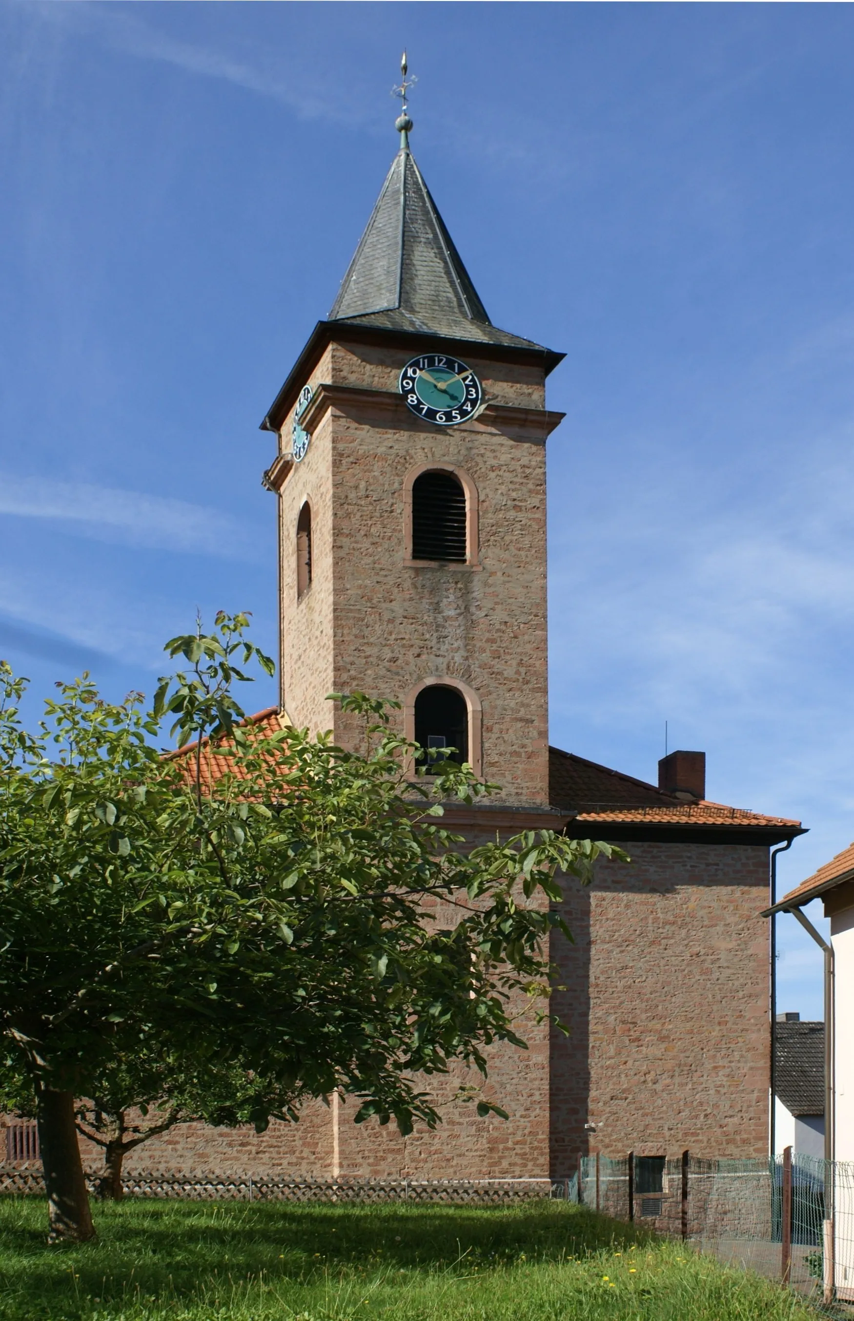
Embark on this 72-kilometer road cycling journey that takes you through the charming towns of Korsberg, Oberbessenbach, and Hobbach. Expect a challenging ascent of 990 meters as you reach Heinchsthöhe, but breathtaking panoramic views make it worth the effort. Don't miss the opportunity to explore Bischberg and marvel at the captivating medieval architecture. As you pedal towards Johannesberg, be prepared to be awed by the quaint countryside landscapes. Finally, conclude your adventure in Blankenbach, satisfied and inspired by the serene beauty of Lower Franconia.
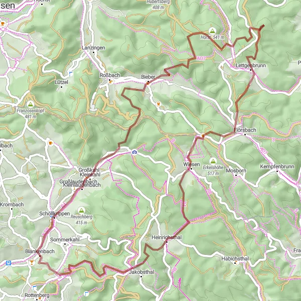
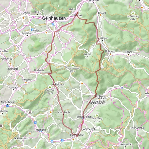
Discover the untamed beauty of Unterfranken on this exhilarating gravel cycling route starting near Blankenbach.
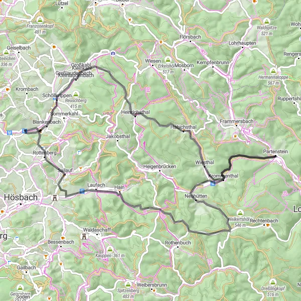
Get ready for an adrenaline-pumping 61-kilometer gravel cycling exploration. Kleinlaudenbach's picturesque landscape and serene atmosphere make it an ideal place for a quick pitstop. Lindenberg, with its idyllic lake, offers a refreshing refuge amidst the challenging terrain. As you pass through Horst and Villbach, embrace the rugged beauty of the region. Lettgenbrunn enchants with its small cascading waterfall, providing a tranquil setting to unwind. Hühnerberg tantalizes adventure seekers with thrilling descents. Conclude your expedition in Heinrichsthal, satisfied with the sense of accomplishment and a newfound appreciation for the hidden trails of Lower Franconia.
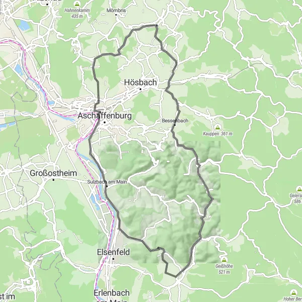
Kaltenberg Loop
A challenging and scenic road cycling route near Blankenbach
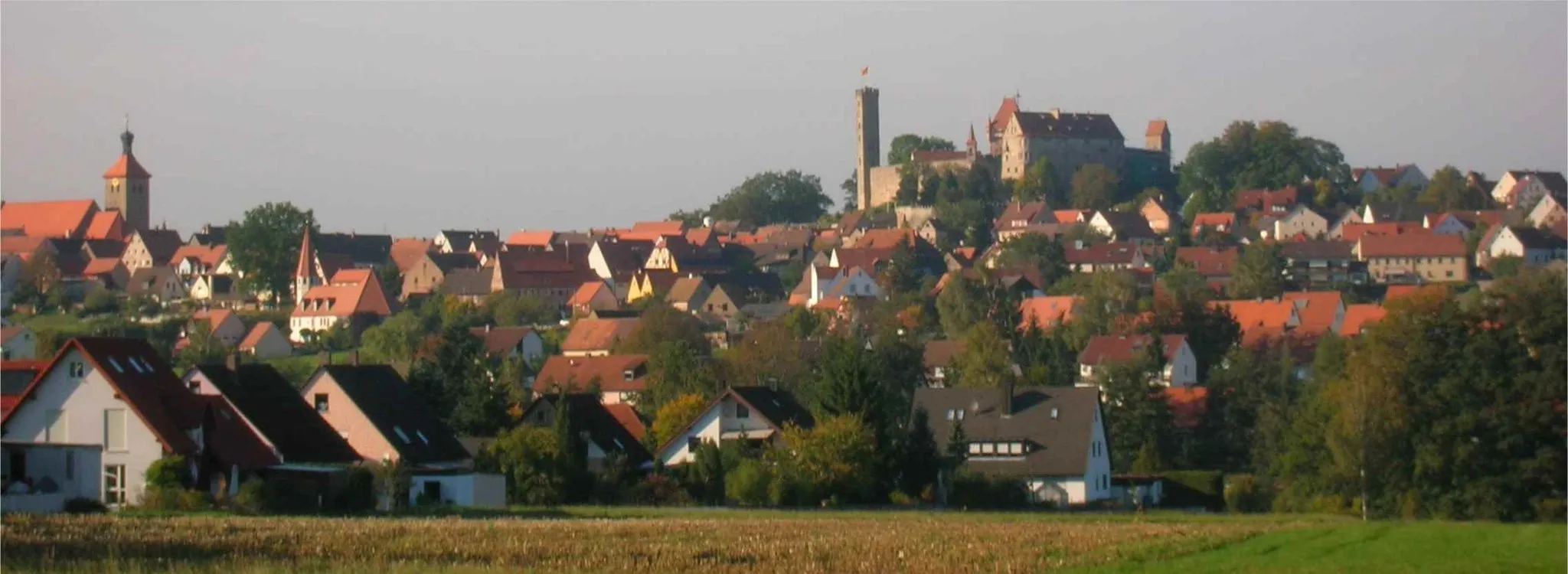
The Kaltenberg Loop is a challenging road cycling route starting near Blankenbach. It offers beautiful scenery and a variety of highlights along the way. With a total ascent of 1,241 meters and a distance of 132 kilometers, it will test the skills and endurance of even the most well-trained amateur cyclists. The route includes several distinctive features, such as the Pompejanumfelsen, Grenzberg, and Hassenrother Höhe. These highlights offer cyclists the opportunity to take in breathtaking views and experience the unique nature of the area. Overall, the Kaltenberg Loop is an epic and rewarding cycling experience for those who seek a challenging adventure.
Climb hills and embrace nature on this gravel adventure near Sommerkahl.
This 90 km gravel route near Sommerkahl is a challenging yet rewarding adventure. Get ready to conquer hilly terrain and be mesmerized by the surrounding natural beauty. The route offers breathtaking views and a sense of isolation from bustling city life. Ideal for experienced gravel cyclists looking for an adrenaline-filled escapade.
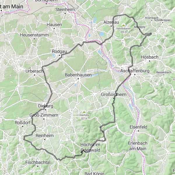
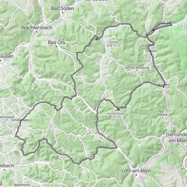
Embark on an epic 127-kilometer road cycling odyssey starting near Blankenbach.
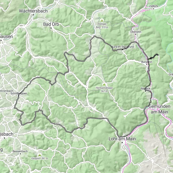
Unleash your inner adventurer on this epic road cycling route that spans across 127 kilometers. Immerse yourself in the captivating beauty of Bamberger Mühle, soaked in history and nestled amidst nature's embrace. As you conquer Eselshöhe, the landscapes evolve into a delightful blend of rolling hills and winding rivers. Beilstein boasts stunning farmland panoramas that are an absolute delight for the eyes. The exhilarating ascent up Hanauer Berg rewards you with breathtaking vistas extending as far as the eye can see. Rieneck transports you to a fairytale realm with its enchanting castle. Pedal onwards to Herrgottsberg and be enchanted by the peaceful serenity of the surrounding forests. Conclude your extraordinary expedition at Eichenberg, filled with a sense of achievement and admiration for the remarkable wonders of Lower Franconia.
Experience the beauty of captivating hills and tranquil valleys surrounding Blankenbach in this picturesque cycling route.
Covering a distance of 78 kilometers with an ascent of 1201 meters, this road cycling route near Blankenbach offers stunning vistas and a varied terrain. The picturesque Unterfranken landscapes unfold along the route, captivating cyclists with rolling hills and peaceful valleys. Rated with an epicness score of 4, this tour provides a charming journey through nature's wonders.
Embark on a peaceful journey through tranquil landscapes and discover hidden gems near Blankenbach.
With a distance of 54 kilometers and an elevation gain of 1238 meters, this gravel cycling route starting near Blankenbach is perfect for leisure riders seeking a serene cycling experience. The picturesque Unterfranken countryside unfolds along the way, showcasing rustic villages and breathtaking landscapes. Rated with an epicness score of 3, this ride offers memorable moments in an idyllic setting.
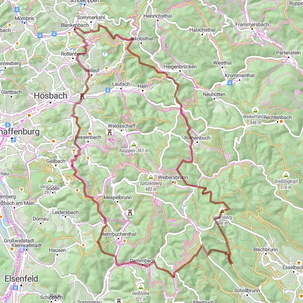
Take a thrilling ride through the lush forests and scenic hills surrounding Blankenbach.
This 68-kilometer round-trip cycling route starting near Blankenbach showcases the beautiful landscapes of Unterfranken. The route mainly consists of gravel roads, adding an extra element of excitement to the ride. With a total ascent of 1317 meters, this route provides a challenging but rewarding experience for well-trained amateurs. The epicness of this route is rated at 4, making it a thrilling adventure.
Unterschur Gravel Ramble
Embark on a gravel adventure near Unterschur to experience nature's serenity and picturesque landscapes.
This charming 45 km gravel route near Unterschur offers a delightful blend of scenic beauty and peaceful surroundings. Get ready to tackle moderate hills and immerse yourself in the idyllic countryside. Ideal for gravel cyclists of all levels, this route promises a memorable adventure through picturesque villages and rolling farmland.
Embark on a thrilling adventure exploring varying terrains and breathtaking spots near Blankenbach.
This 143-kilometer round-trip cycling route near Blankenbach showcases the diverse landscapes of Unterfranken. With an elevation gain of 1816 meters, this route presents a significant challenge suitable for experienced amateur cyclists. Rated with an epicness score of 4, this tour promises breathtaking views and amazing experiences.
Cycling routes nearby:

Nearby regions: