Gravel Adventure through Ortenberg's Nature
A gravel cycling route starting from Ortenberg
Embark on an adventurous gravel ride and explore the breathtaking nature surrounding Ortenberg.
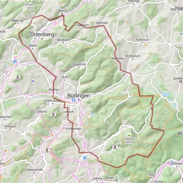
Map
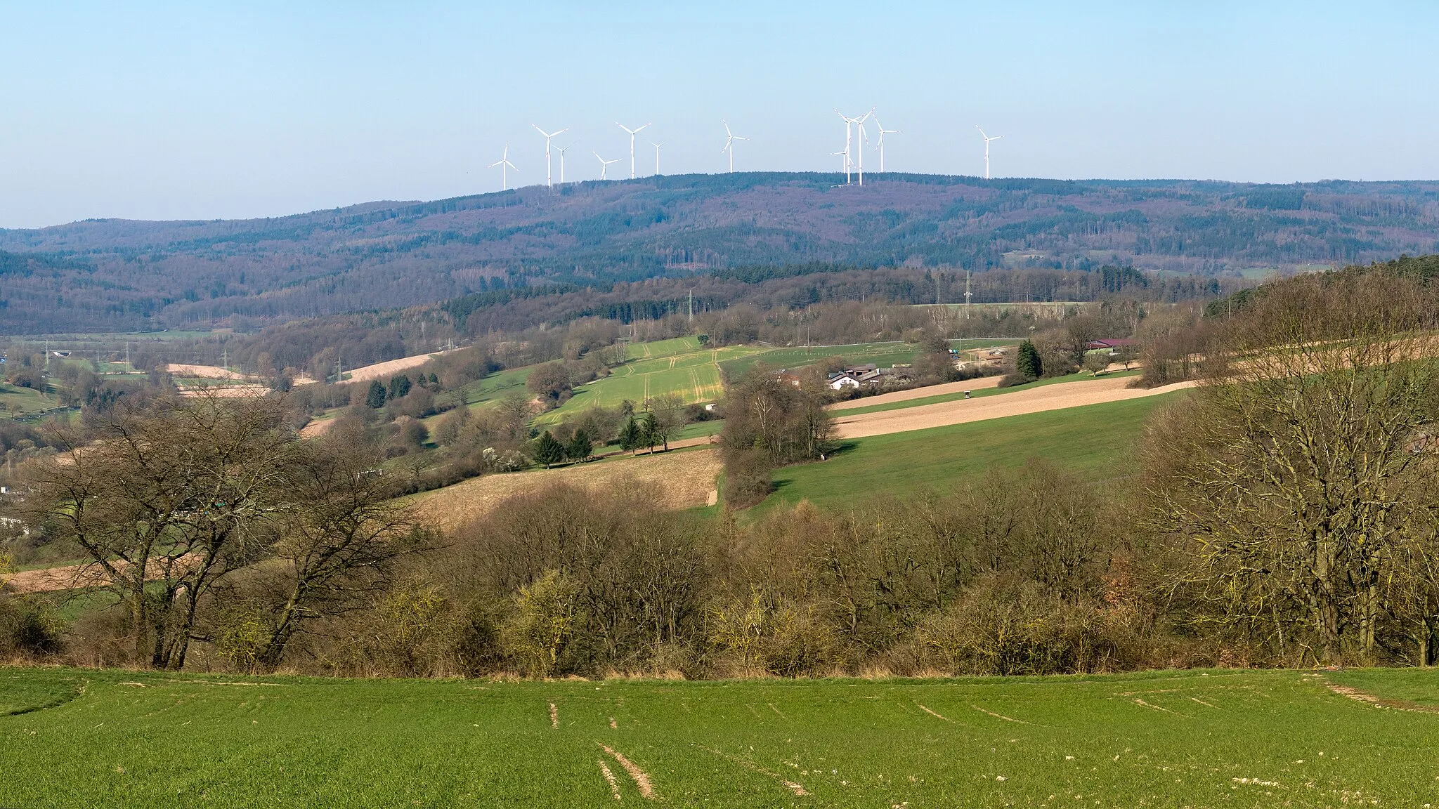
This thrilling gravel adventure through Ortenberg's nature provides an unforgettable experience for adrenaline-seeking cyclists. With a total ascent of 1245 meters and a distance of 64 kilometers, it offers a challenging and rewarding ride through stunning landscapes and picturesque villages. From the enchanting Gelnhaar to the scenic Aulendiebach, this route showcases the raw beauty of the region. With a difficulty rating of 4 and an epicness rating of 3, this route promises an exciting and immersive gravel adventure for those who seek new challenges.
gravel
64 km
1245 m
Tough
Route profile
Highlights on the route
0 km
0 km
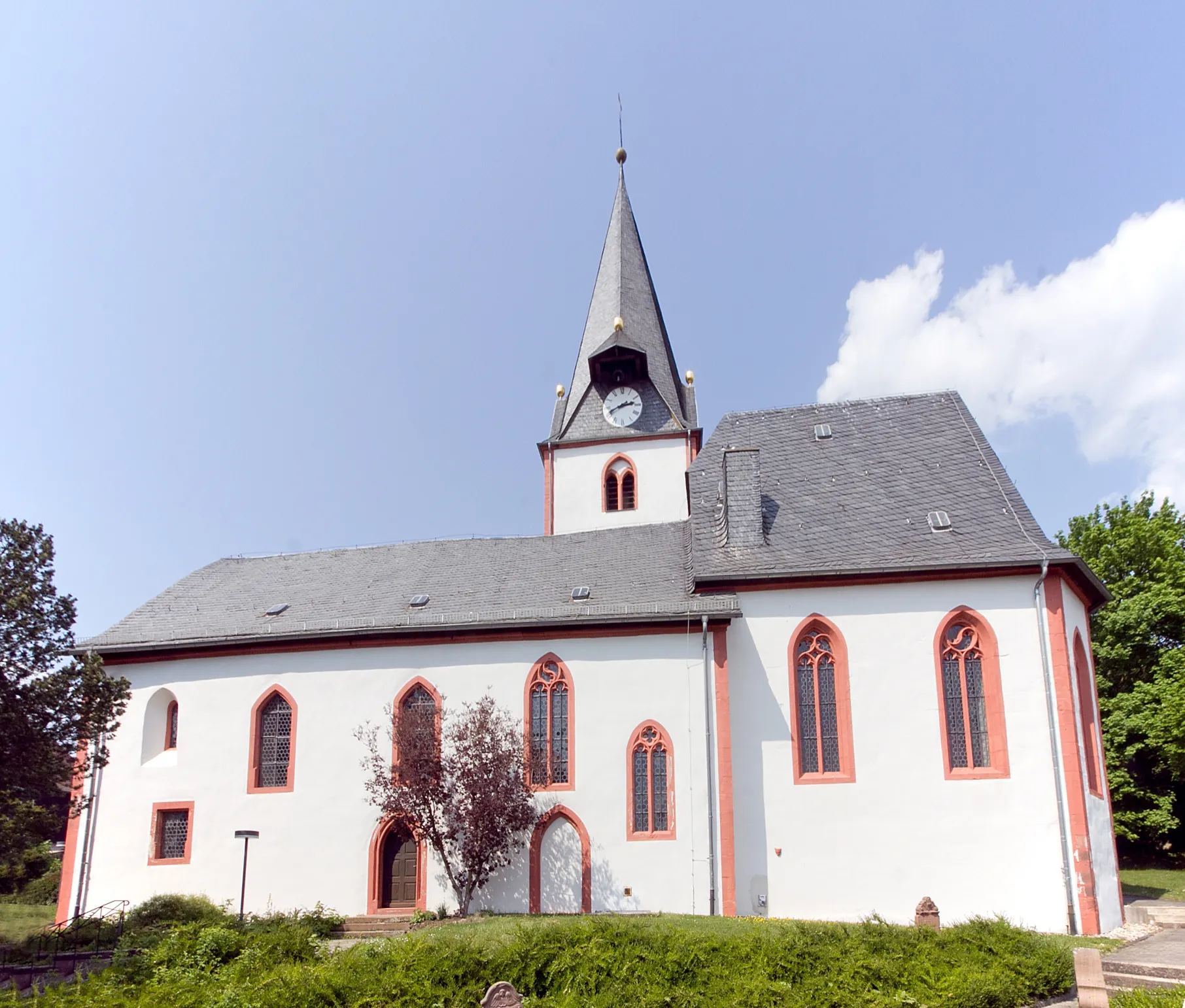
Start: Bobenhausen I Village centerOrtenberg: Scenic rides, gravel paths, and the challenging Hohen Vogelsberg climb.
Ortenberg is a locality in Darmstadt, Germany. From a cyclist's perspective, Ortenberg provides scenic rides through rural landscapes with rolling hills and picturesque views. The roads are well-maintained, perfect for road cycling enthusiasts. Gravel cyclists can also enjoy exploring the outskirts of Ortenberg, where gravel paths and trails are available. One of the notable climbs near Ortenberg is the Hohen Vogelsberg, which attracts cyclists seeking a challenging ascent. Furthermore, Ortenberg is a tourist-friendly locality with various amenities and attractions, making it a great destination for both cycling and tourism.11 km
11 km
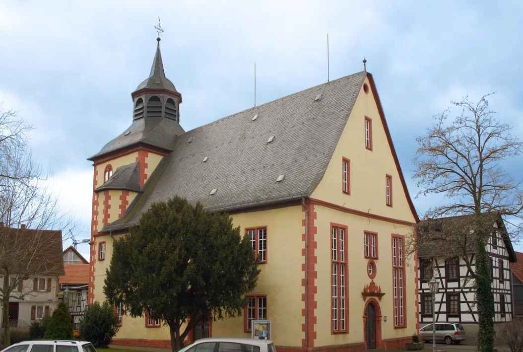
GelnhaarVillageGelnhaar is a hidden gem nestled at the edge of the forest, offering stunning views and tranquil surroundings. Explore the natural wonders and well-preserved hiking trails that make this place unique.
26 km
26 km
Dachsberg392 mPeakDachsberg is a challenging climb that rewards gravel riders with panoramic views of the surrounding landscapes. Conquer this highlight and embrace the sense of achievement it brings.
31 km
31 km
Vier FichtenShelterVier Fichten is a delightful highlight that showcases the region's impressive fir trees. Ride through this enchanting forest and immerse yourself in the beauty of nature.
45 km
45 km
Nickel194 mPeakNickel offers a thrilling descent and picturesque landscapes, making it a favorite among gravel riders. Enjoy the adrenaline rush and take in the stunning views as you conquer this highlight.
46 km
46 km
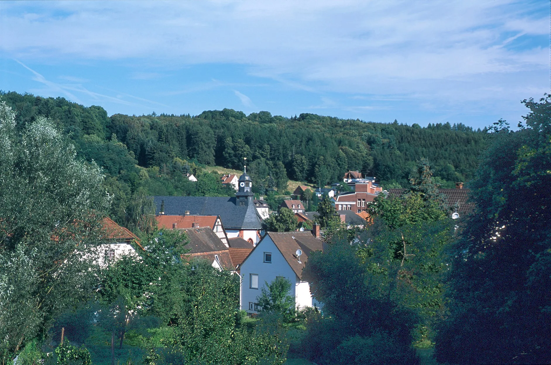
VonhausenVillageVonhausen is a small village known for its peaceful ambiance and traditional charm. Take a moment to explore its hidden corners and enjoy the tranquility of this idyllic highlight.
55 km
55 km
AulendiebachVillageAulendiebach is a charming village situated amidst picturesque landscapes. Discover its well-preserved houses and immerse yourself in the local culture and traditions.
62 km
62 km
Bieberberg258 mPeakBieberberg offers breathtaking views of the rolling hills and lush forests that characterize the region. Take a break at this scenic highlight and soak in the beauty of your surroundings.
64 km
64 km
Finish: Bobenhausen I Village centerOrtenberg: Scenic rides, gravel paths, and the challenging Hohen Vogelsberg climb.
Cycling routes from Ortenberg:
Picturesque Gravel Adventure near Ortenberg Historic Villages and Scenic Views Gravel and Nature in the Odenwald Peaceful Gravel Ride through Tranquil Villages Scenic Gravel Cycling Route near Ortenberg Gravel Adventure through Ortenberg's Nature Ortenberg Epic Road Cycling Route Explore the Heart of Vogelsberg on Two Wheels Leisurely Road Cycling Route around Ortenberg Rolling Hills and Historic Villages
Cycling routes nearby: