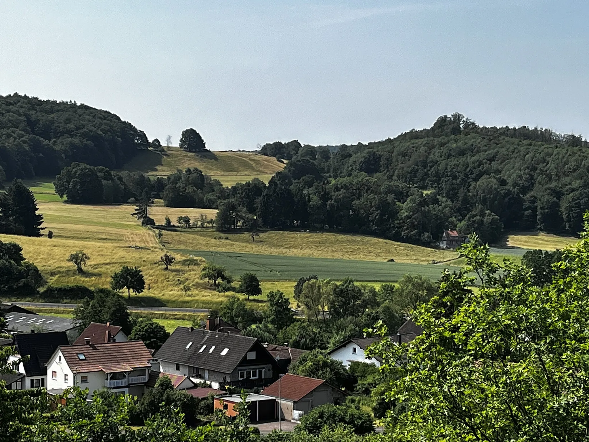
Rolling Hills and Historic Villages
A road cycling route starting from Ortenberg
A road cycling adventure through historic villages and rolling hills
Map
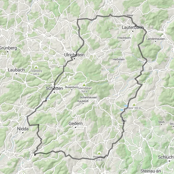
This road cycling route covers a distance of 134 kilometers and includes 2105 meters of ascent. It takes you through charming villages and offers scenic views of the surrounding countryside. Highlights along the way include the picturesque village of Michelnau, the impressive Steinbruch Michelnau quarry, and the historic town of Lauterbach. Cyclists also pass by the famous Römer Via Regia, a historic Roman road.
road
134 km
2105 m
Tough
Route profile
Highlights on the route
0 km
0 km
Start: Ortenberg City centerOrtenberg: Scenic rides, gravel paths, and the challenging Hohen Vogelsberg climb.
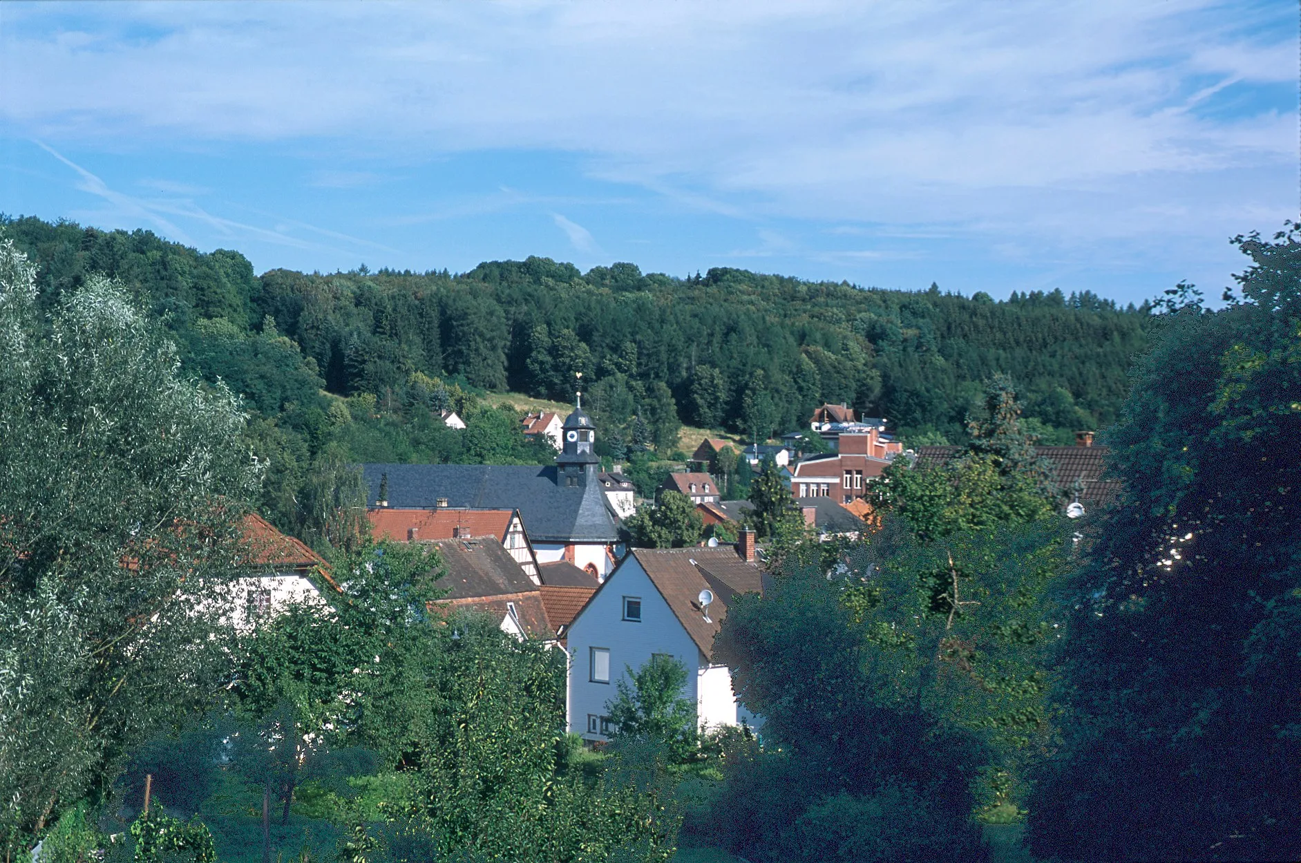
Ortenberg is a locality in Darmstadt, Germany. From a cyclist's perspective, Ortenberg provides scenic rides through rural landscapes with rolling hills and picturesque views. The roads are well-maintained, perfect for road cycling enthusiasts. Gravel cyclists can also enjoy exploring the outskirts of Ortenberg, where gravel paths and trails are available. One of the notable climbs near Ortenberg is the Hohen Vogelsberg, which attracts cyclists seeking a challenging ascent. Furthermore, Ortenberg is a tourist-friendly locality with various amenities and attractions, making it a great destination for both cycling and tourism.12 km
12 km
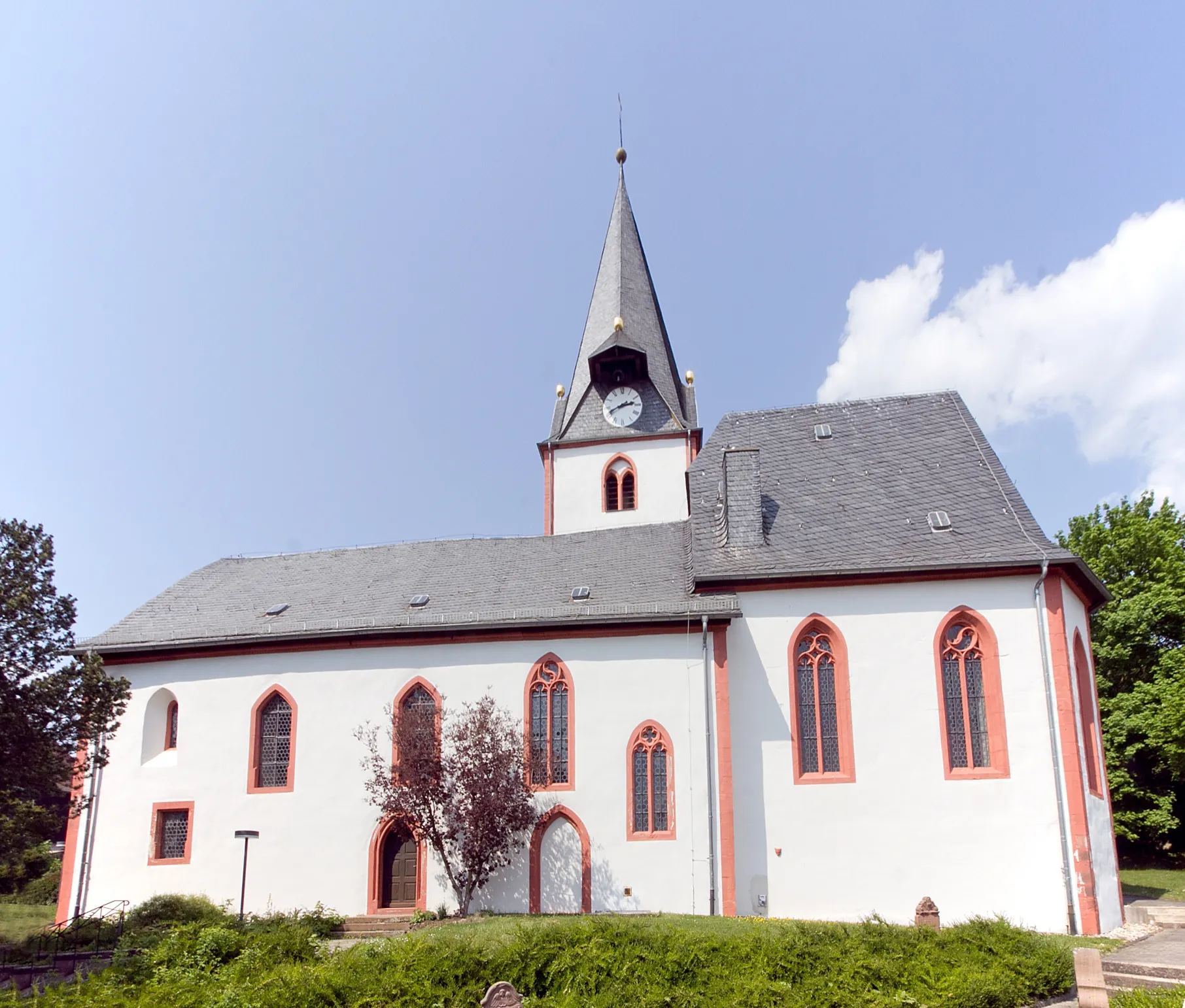
MichelnauVillageMichelnau is a small village known for its charming half-timbered houses and picturesque streets.
12 km
12 km
Steinbruch MichelnauViewpointSteinbruch Michelnau is an impressive quarry with steep rock faces and beautiful views.
23 km
23 km
Spies268 mPeakSpies is a small village with a traditional village square and historic buildings.
34 km
34 km
KölzenhainVillageKölzenhain is a quaint village with a charming church and peaceful atmosphere.
43 km
43 km
HelpershainVillageHelpershain is a small village with traditional timber-framed buildings and beautiful surrounding countryside.
47 km
47 km
Bildsteinskopf496 mPeakBildsteinskopf is a hill with panoramic views over the surrounding landscape.
65 km
65 km
Ossenberg349 mPeakOssenberg is a picturesque hill with fantastic views and a great spot for a picnic.
67 km
67 km
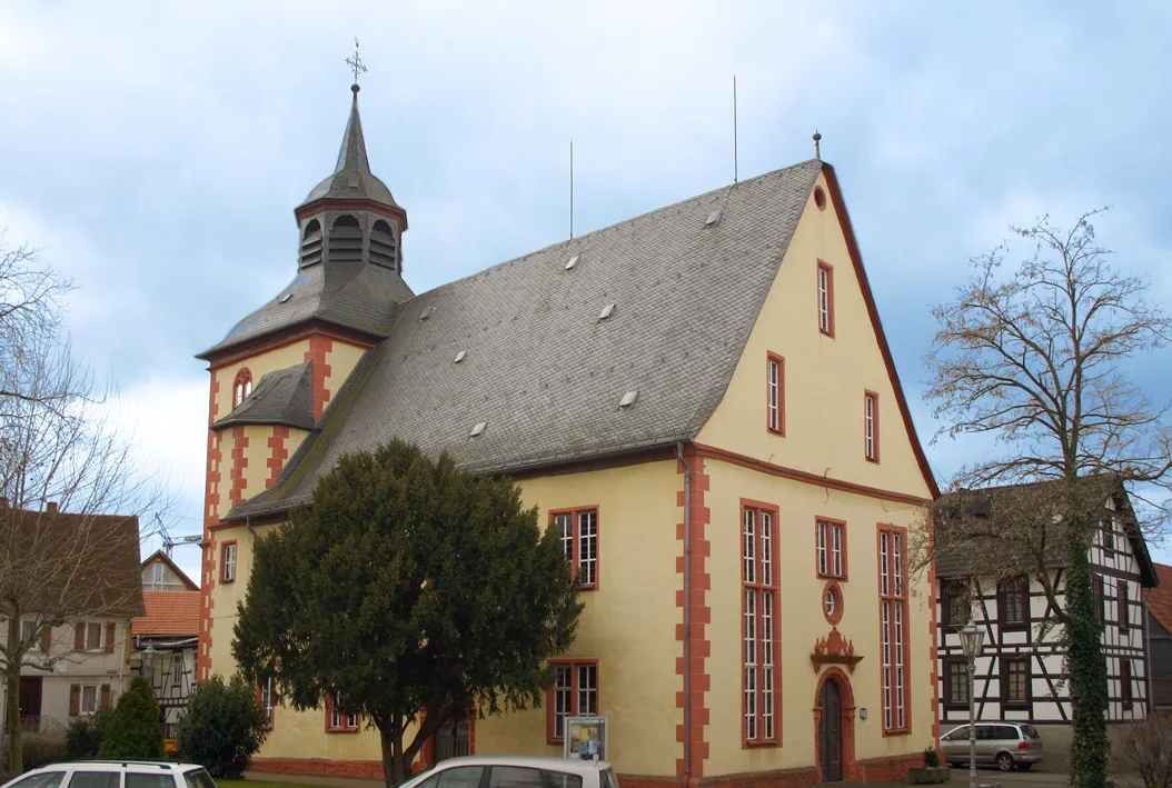
LauterbachTownLauterbach is a historic town with charming architecture and several sights to visit.
75 km
75 km
RudlosHamletRudlos is a quaint village with half-timbered houses and peaceful surroundings.
76 km
76 km
Hohwald499 mPeakHohwald is a forested area with quiet roads and beautiful nature.
104 km
104 km
RadmühlVillageRadmühl is a small village with a historic mill and picturesque riverside scenery.
112 km
112 km
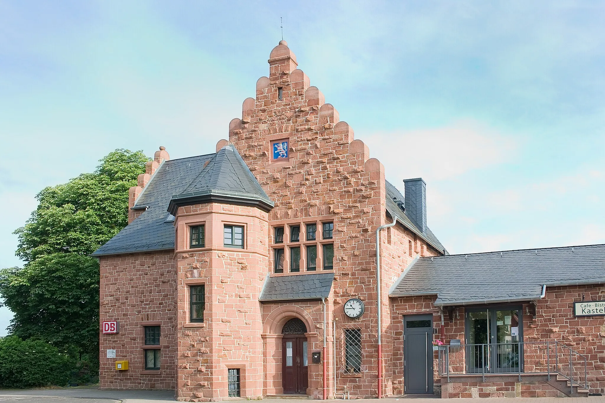
BirsteinVillageBirstein is a medieval town with a picturesque castle and winding streets.
114 km
114 km
Wernerstein415 mPeakWernerstein is a charming village nestled in a valley with surrounding rolling hills.
126 km
126 km
GelnhaarVillageGelnhaar is a traditional village with beautiful half-timbered houses and a peaceful atmosphere.
134 km
134 km
Finish: Ortenberg City centerOrtenberg: Scenic rides, gravel paths, and the challenging Hohen Vogelsberg climb.
Cycling routes from Ortenberg:
Picturesque Gravel Adventure near Ortenberg Historic Villages and Scenic Views Gravel and Nature in the Odenwald Peaceful Gravel Ride through Tranquil Villages Scenic Gravel Cycling Route near Ortenberg Gravel Adventure through Ortenberg's Nature Ortenberg Epic Road Cycling Route Explore the Heart of Vogelsberg on Two Wheels Leisurely Road Cycling Route around Ortenberg Rolling Hills and Historic Villages
Cycling routes nearby: