Challenging Hillclimb: Eltville am Rhein to Steinkopf
A road cycling route starting from Schierstein
Conquering steep ascents and enjoying scenic viewpoints
Map
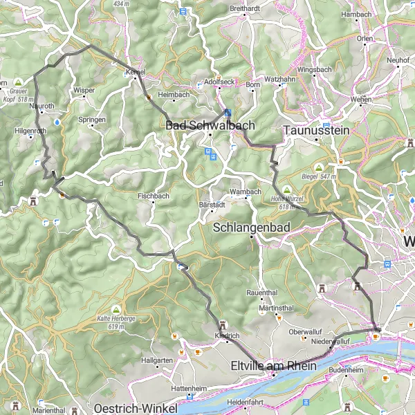
This demanding road cycling route takes you from the charming town of Eltville am Rhein to the imposing Steinkopf peak. With an impressive ascent of 1309 meters over a distance of 65 kilometers, this route is a true test of endurance for experienced cyclists seeking a challenge. Along the way, highlights include the picturesque streets of Eltville am Rhein, the panoramic vistas from Langer Berg, and the imposing Hohe Wurzel mountain. Prepare yourself for a physically demanding and visually rewarding adventure.
road
65 km
1309 m
Savage
Route profile
Highlights on the route
0 km
0 km
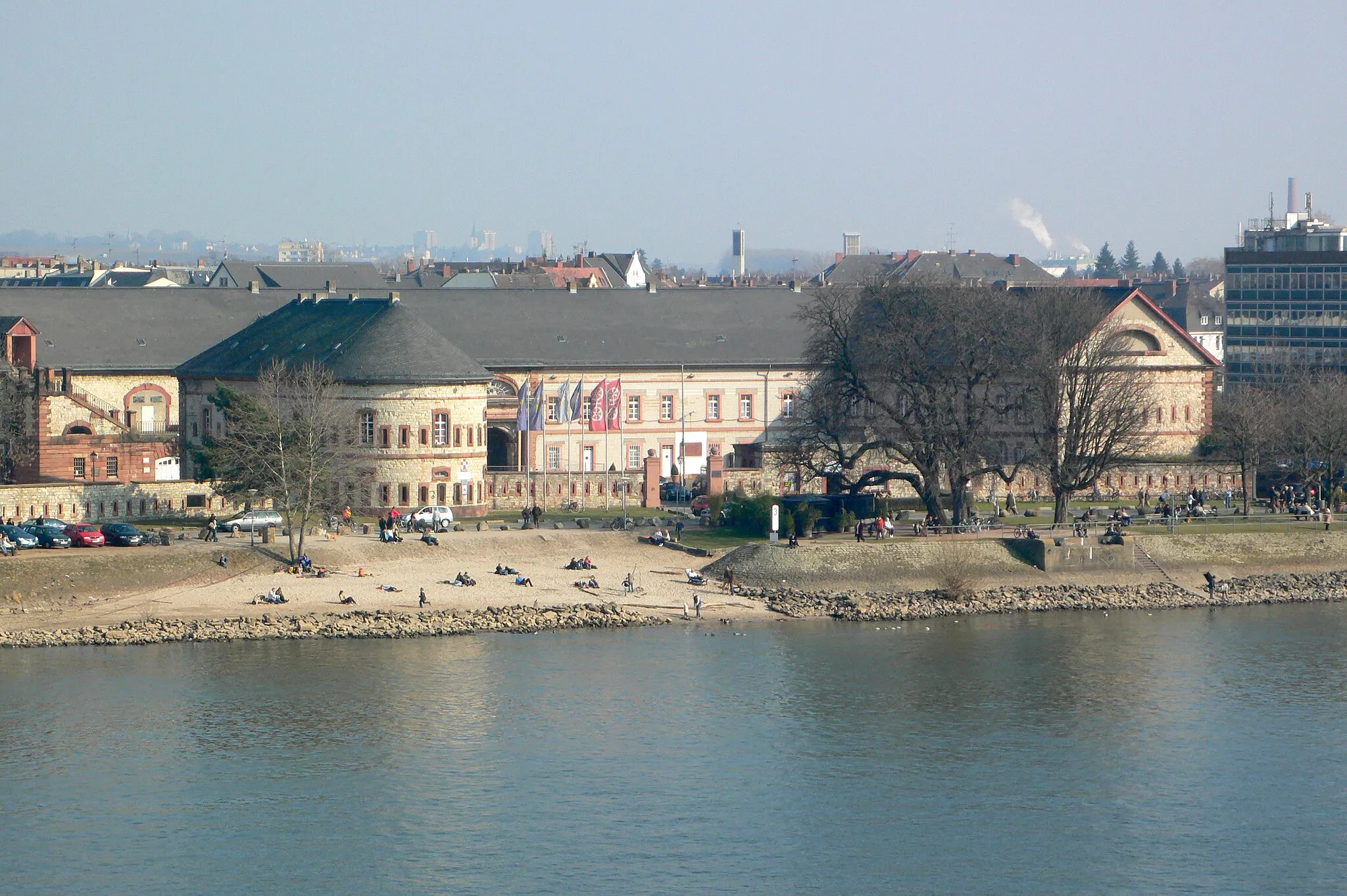
Start: Locality centerSchierstein: A blend of urban and natural scenery for cyclists looking for variety.
Schierstein is a locality located in Germany's Darmstadt region. While not primarily known for its cycling opportunities, the area offers some enjoyable routes for road and gravel cyclists alike. Cyclists can explore the quaint town streets before embarking on rides along the scenic Rhine riverfront. For those seeking a challenge, nearby Taunus hills provide thrilling climbs and rewarding panoramic views. Although not among the top cycling destinations, Schierstein offers a pleasant cycling experience with a mix of urban and natural landscapes.6 km
6 km
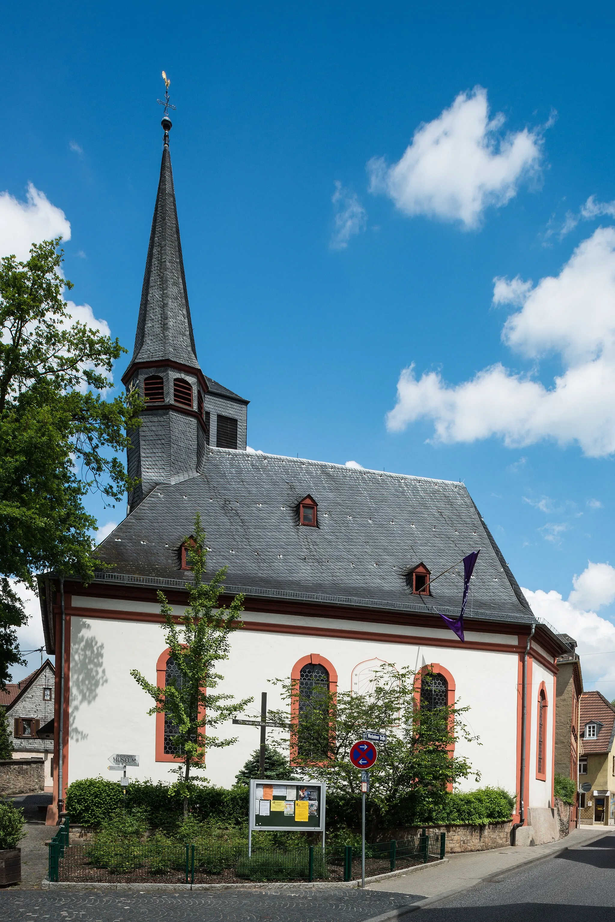
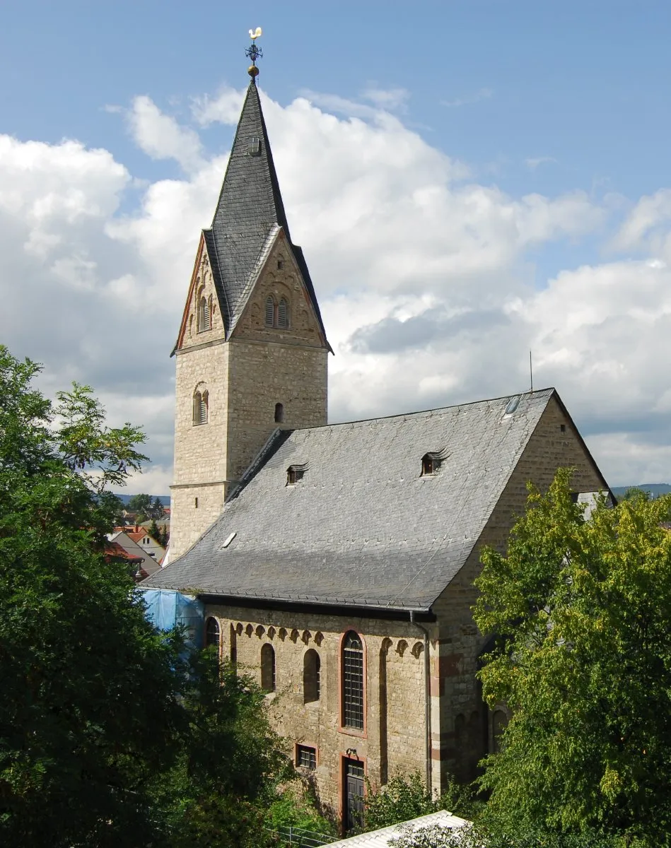
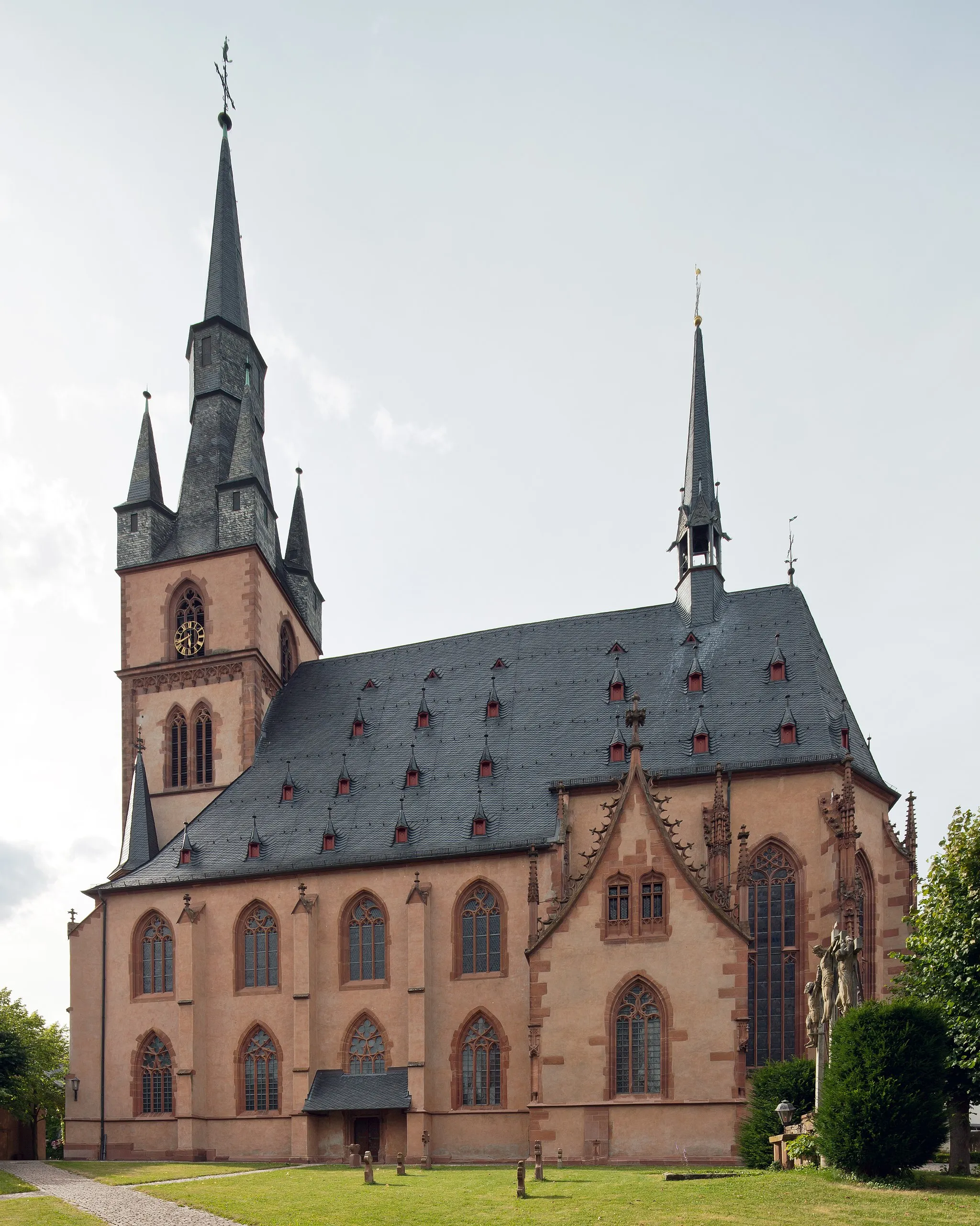
Eltville am RheinTownEltville am Rhein is a charming town known for its well-preserved half-timbered houses and renowned wine estates.
17 km
17 km
Langer Berg479 mPeakClimb the challenging Langer Berg, offering breathtaking views over the Rheingau region and beyond.
21 km
21 km
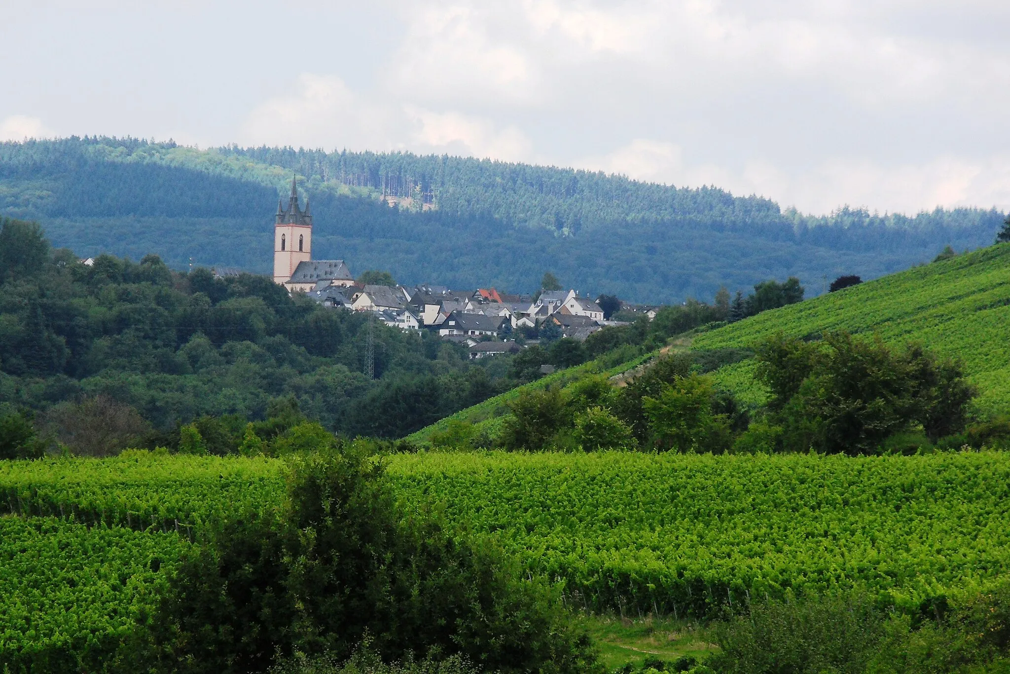
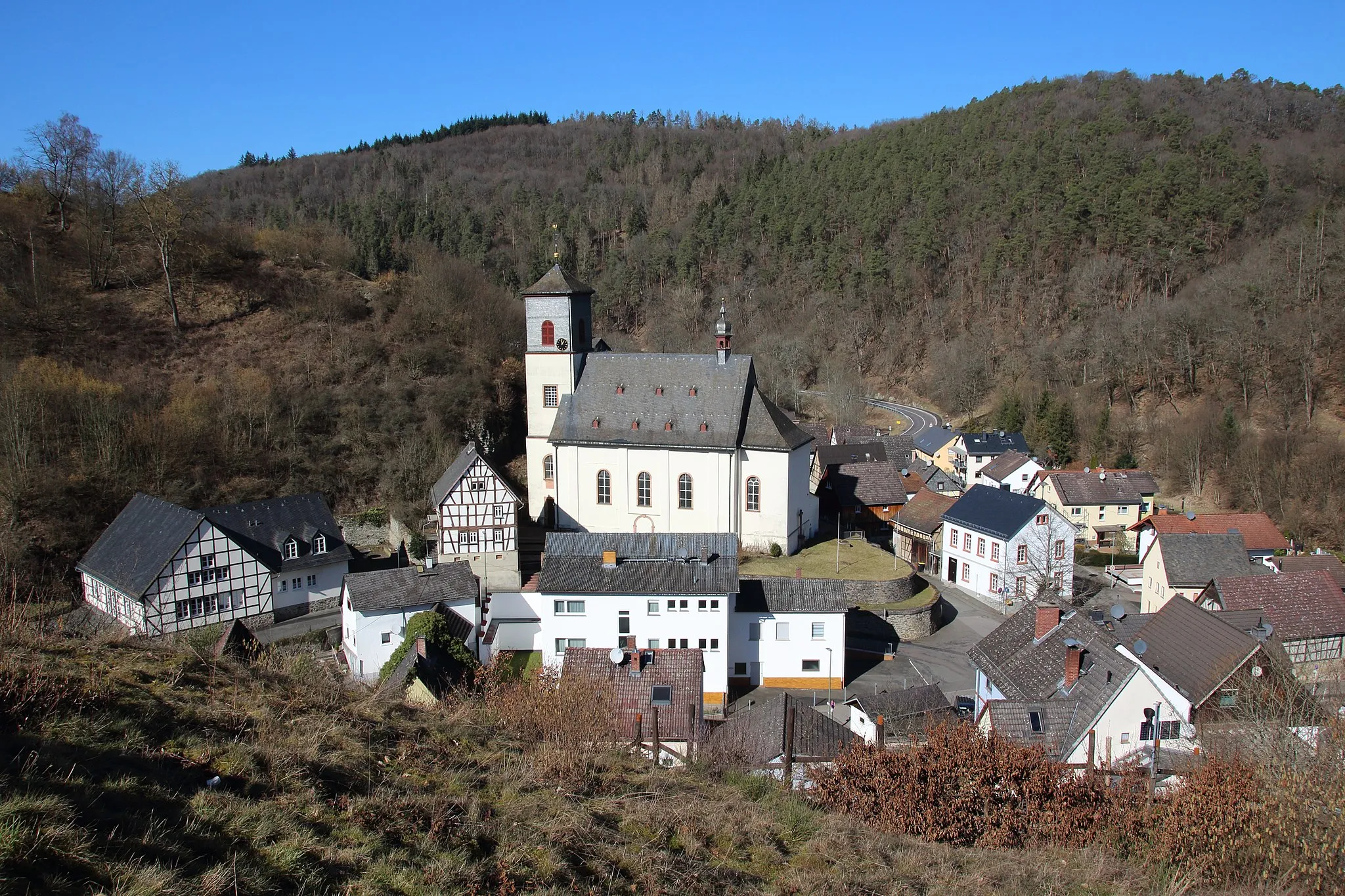
NiedergladbachVillageNiedergladbach is a scenic village surrounded by vineyards, providing cyclists with a serene and picturesque ride.
35 km
35 km
LangschiedVillageLangschied is a hidden gem nestled in the rolling hills of the Rheingau wine region, offering stunning panoramic views.
37 km
37 km
Mappershainer Kopf548 mPeakMappershainer Kopf is a challenging climb rewarded with scenic views over the picturesque landscapes of the region.
51 km
51 km
SeitzenhahnVillageSeitzenhahn surprises with its beautiful natural surroundings, including scenic forests and charming cycling paths.
54 km
54 km
Hohe Wurzel618 mPeakHohe Wurzel challenges cyclists with its steep ascend, rewarded with magnificent views over the Rheingau and Taunus regions.
61 km
61 km
SteinkopfViewpointSteinkopf, the highest point of this route, offers breathtaking panoramic views over the Rhine Valley and surrounding landscapes.
65 km
65 km
SchiersteinSub-urbSchierstein provides a picturesque ending to this challenging ride, offering a peaceful waterfront ambiance and beautiful Rhine River views.
65 km
65 km
Finish: Locality centerSchierstein: A blend of urban and natural scenery for cyclists looking for variety.
Cycling routes from Schierstein:
Around Schierstein: Bierstadt, Mönchbruch, and Biebrich Spa Wandering through Vineyards: Klein-Winternheim to Schierstein Wilhelmsfelsen and Wambach Road Route Ruine Johanniskirche and Dreibornsköpfe Gravel Route Challenging Hillclimb: Eltville am Rhein to Steinkopf Historic Gems: Musensitz and Eiserne Hand Gravel Adventure: Königsklinger Aue and Bismarckturm Oestricher Kran and Peerenboom Hütte Gravel Route Bassenheimer Hof and Prominentenweinberg Gravel Route Oestricher Kran and Auenaussichtsturm Gravel Route
Cycling routes nearby: