Gravel Adventure to Colmnitz
A gravel cycling route starting from Pretzschendorf
Embark on a thrilling gravel adventure to Colmnitz
Map
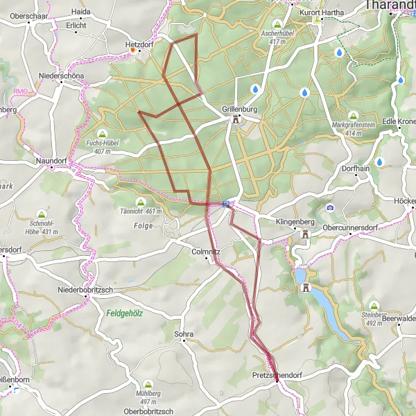
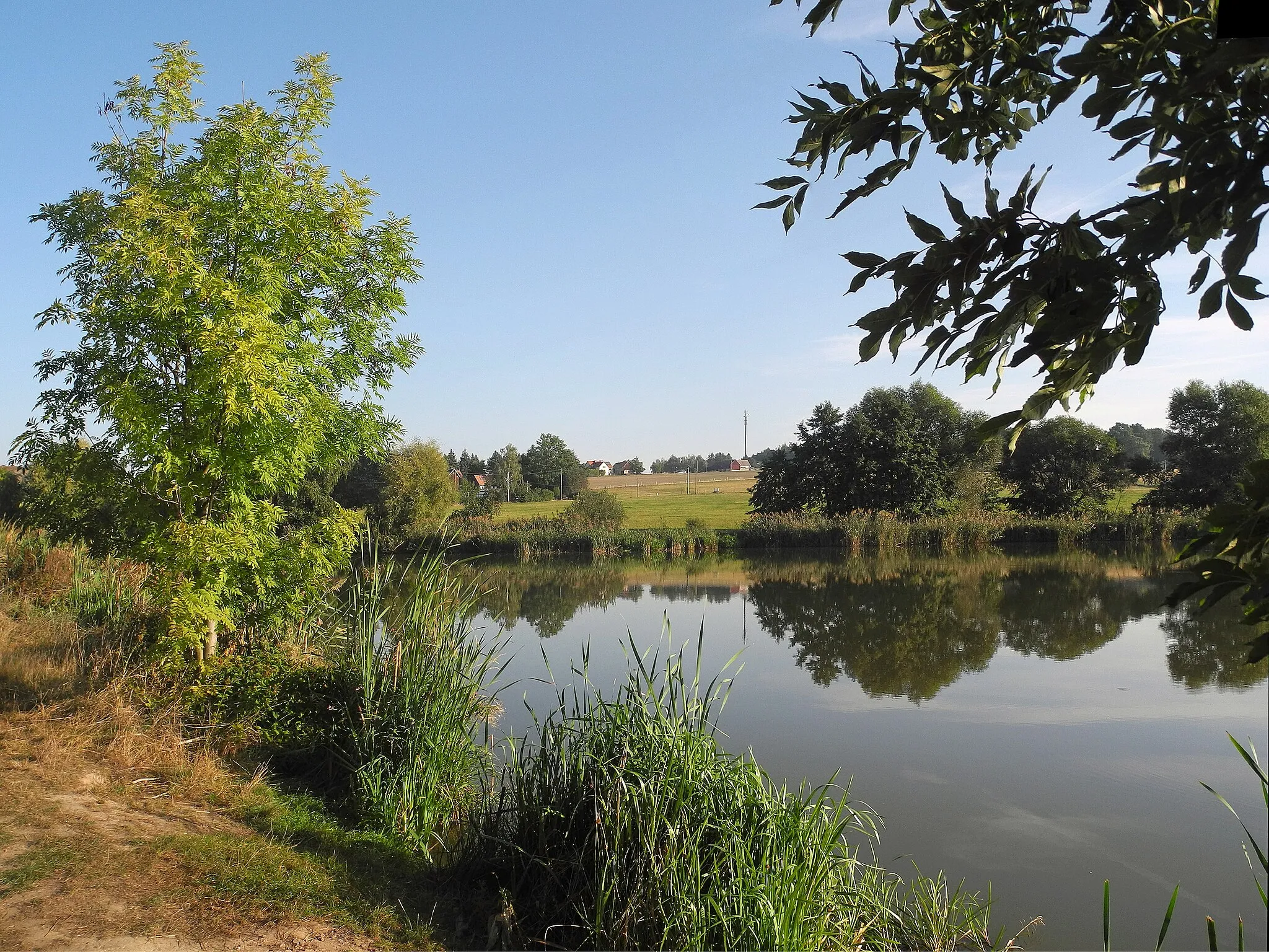
Venture into nature on this 30 km gravel route that promises both excitement and tranquility. With an ascent of 298m, this scenic loop offers a moderate challenge for gravel biking enthusiasts. Enjoy the peaceful surroundings and stunning landscapes as you cycle through Colmnitz, explore the Lips-Tullian Felsen rock formations, and admire the beauty of Neuklingenberger Höhe. This route is perfect for nature lovers looking for a tranquil escape from the busy city life.
gravel
30 km
298 m
Chill
Route profile
Highlights on the route
0 km
0 km
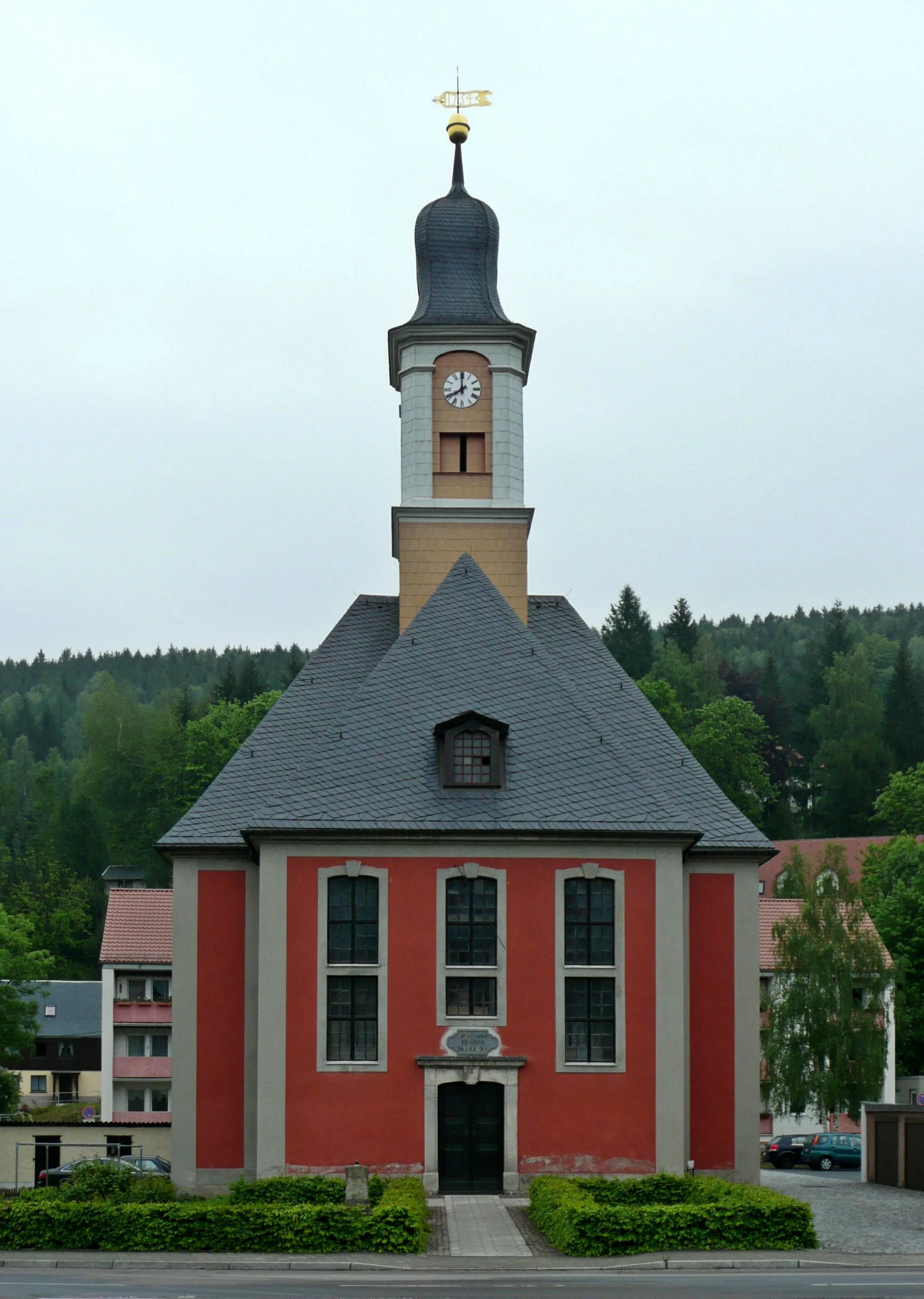
Start: Pretzschendorf Village centerPretzschendorf: Exploring the challenging terrains of Pretzschendorf
Pretzschendorf, located in the Dresden region of Germany, offers challenging cycling routes through its hilly landscapes. The town provides cyclists with opportunities to test their climbing skills and enjoy sweeping mountain views. One of the notable climbs nearby is the Geisingberg mountain, known for its steep gradients and abundant natural beauty. Although Pretzschendorf may not be a well-known cycling destination, its quiet roads and scenic surroundings make it worth exploring for avid road and gravel cyclists. With its rewarding climbs and picturesque landscapes, Pretzschendorf is a hidden gem in the Dresden region.5 km
5 km
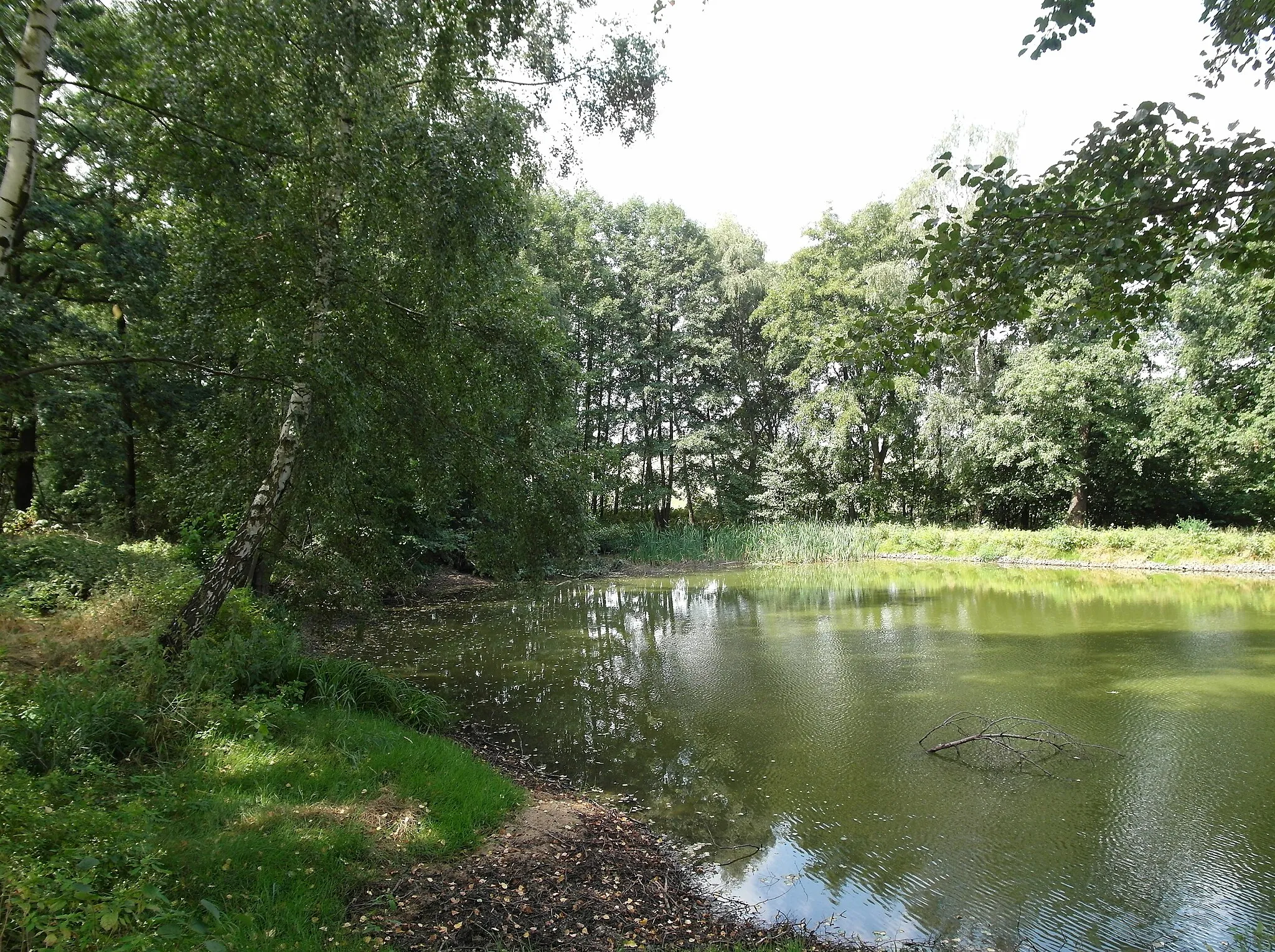
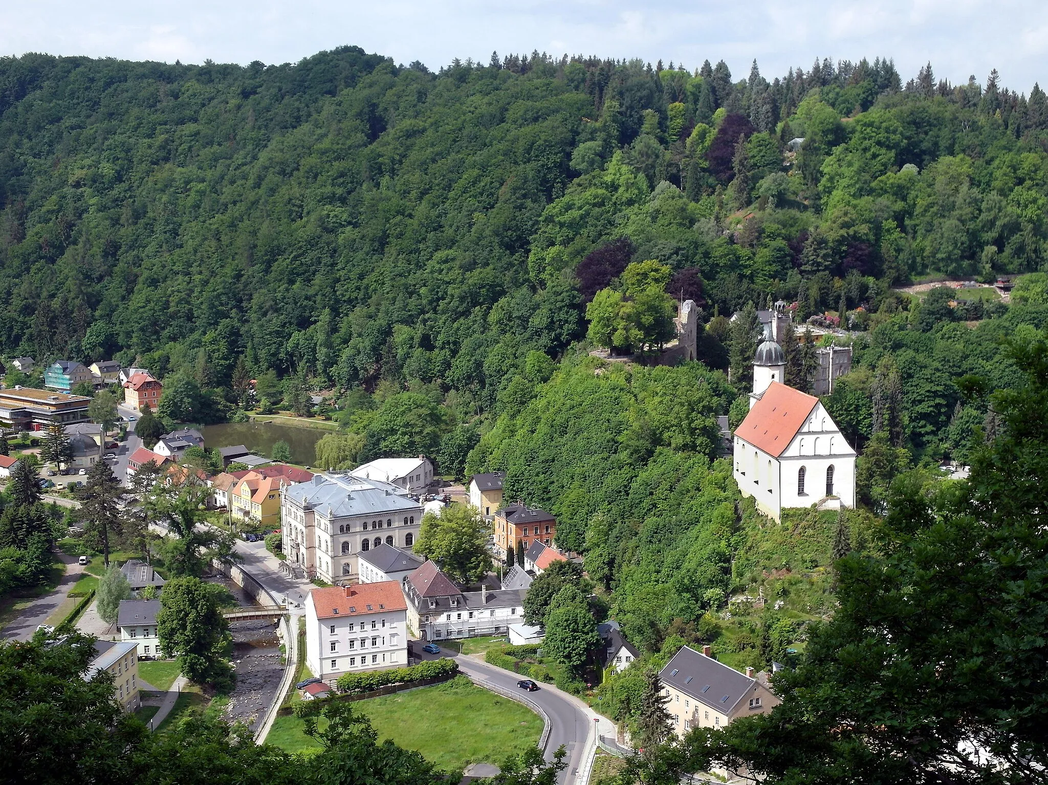
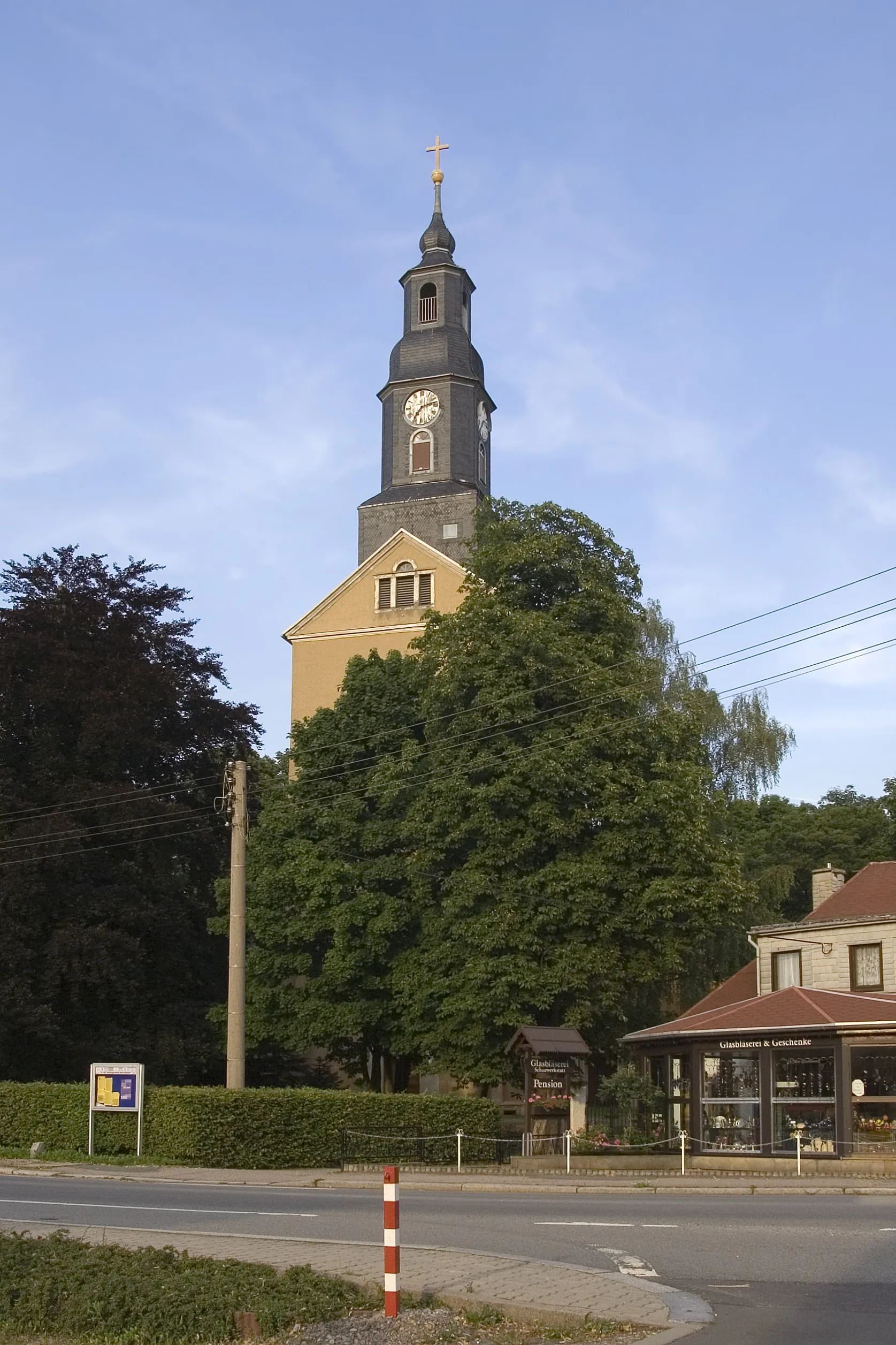
ColmnitzVillageColmnitz is a picturesque village known for its traditional architecture and beautiful setting. Take some time to explore the village and appreciate its idyllic charm.
21 km
21 km
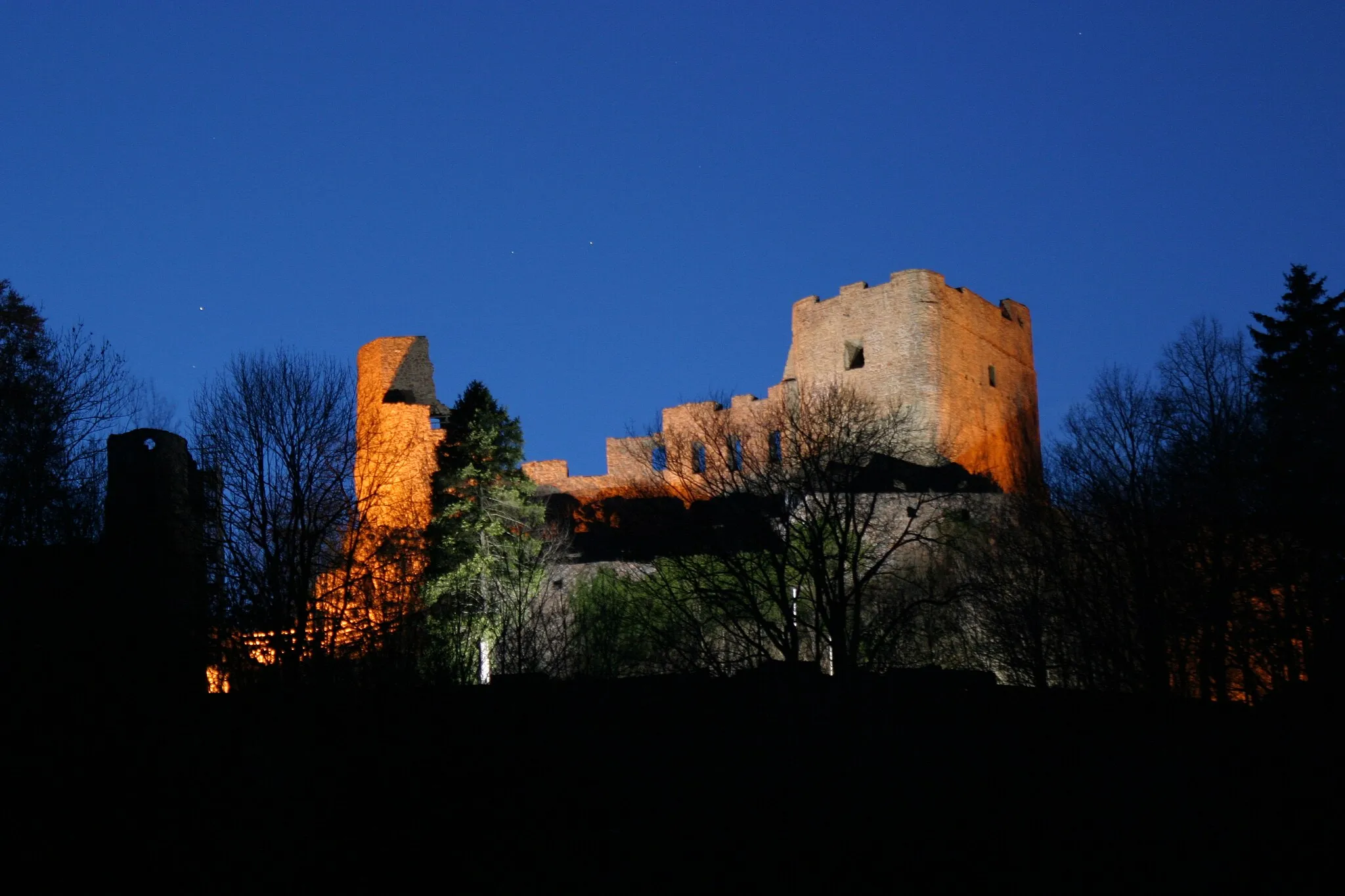
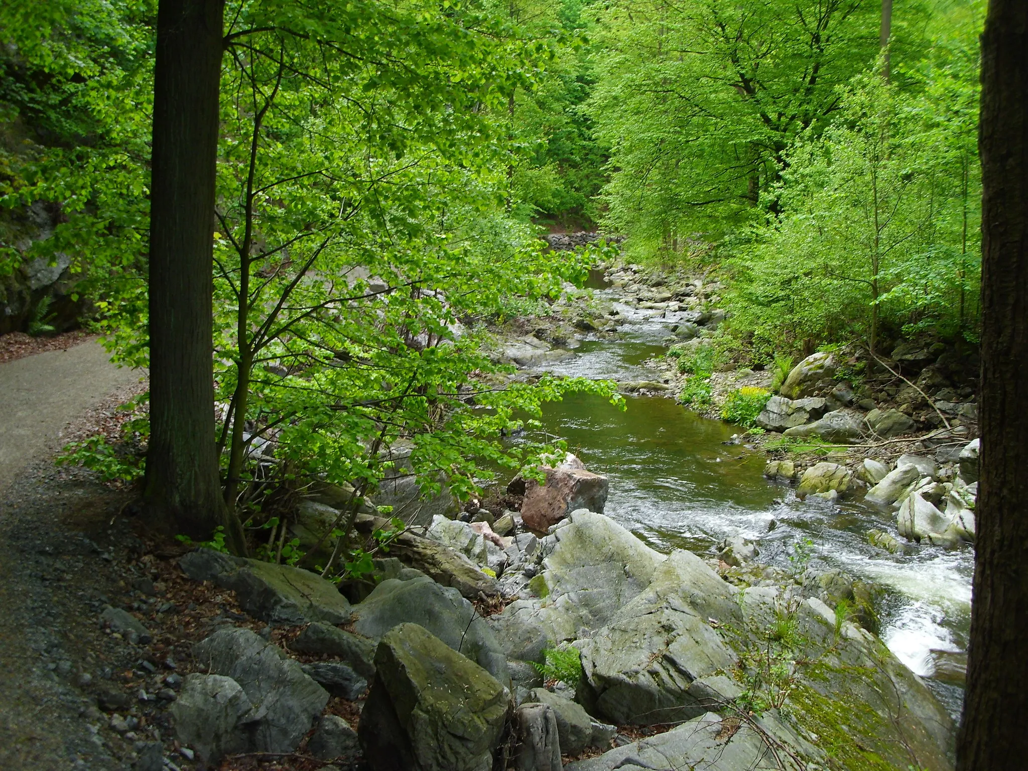
Lips-Tullian FelsenViewpointLips-Tullian Felsen are impressive rock formations that offer a unique geological experience. Stop to admire the formations and learn about their formation history.
25 km
25 km
Neuklingenberger HöheShelterNeuklingenberger Höhe is a hilltop with breathtaking panoramic views of the surrounding countryside. Take a moment to soak in the beauty of the landscapes before continuing your gravel adventure.
30 km
30 km
Finish: Pretzschendorf Village centerPretzschendorf: Exploring the challenging terrains of Pretzschendorf
Cycling routes nearby: