The River Tour
A road cycling route starting from Hochfeld
Explore the banks of the Rhine and experience breathtaking views
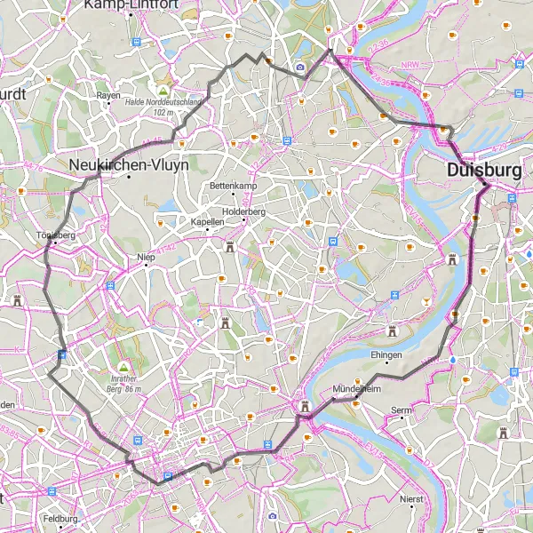
Map
This route takes you on a scenic journey along the Rhine River. Enjoy the peacefulness of the riverbanks and take in the picturesque views as you cycle. With a moderate difficulty level, this tour is suitable for cyclists of all abilities. The epicness rating of this route is high, as it offers stunning natural landscapes and cultural highlights along the way.
road
63 km
113 m
Tough
Route profile
Highlights on the route
0 km
0 km
Start: Duisburg City centerHochfeld: Relaxed cycling in a well-connected locality.
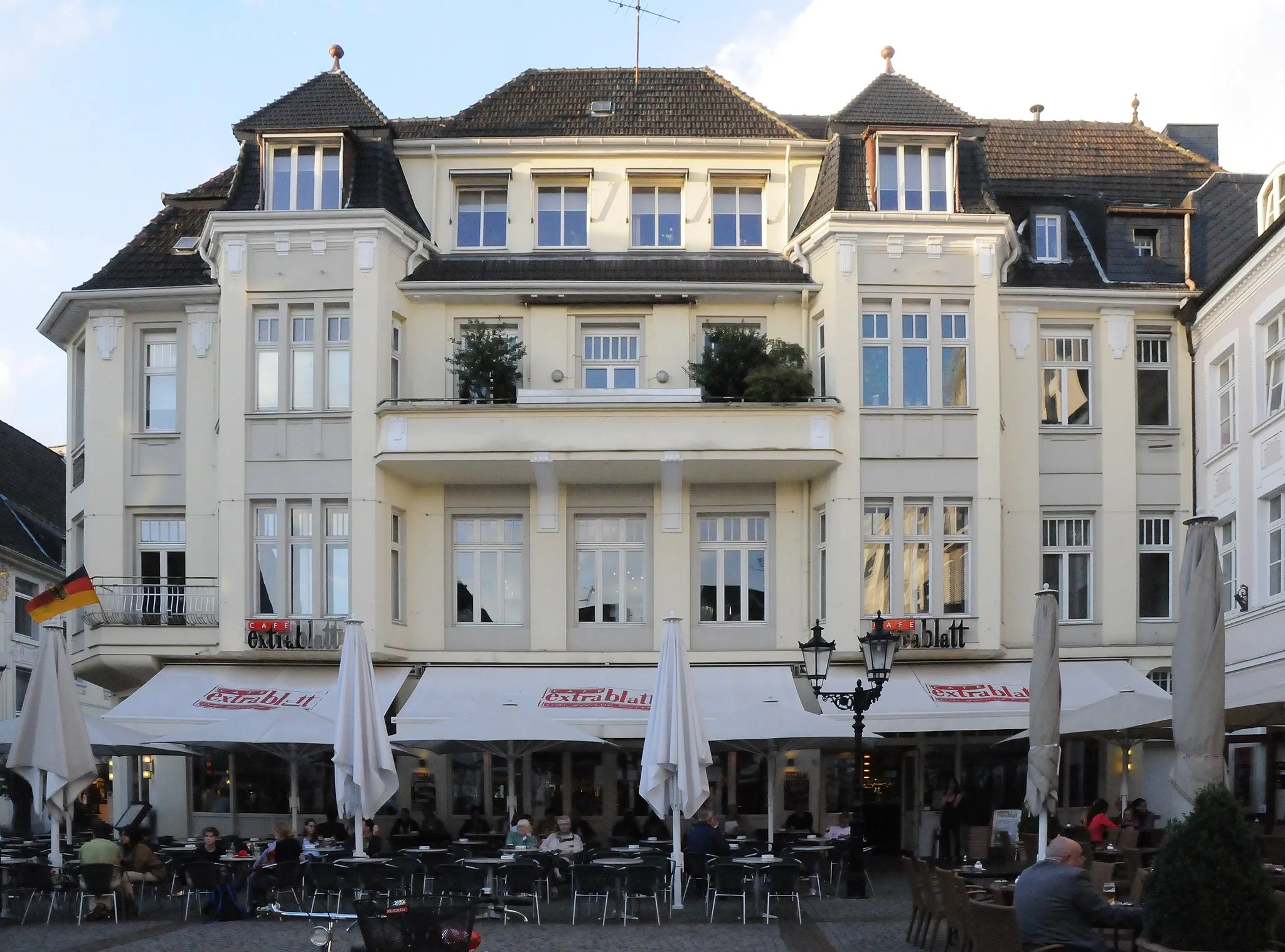
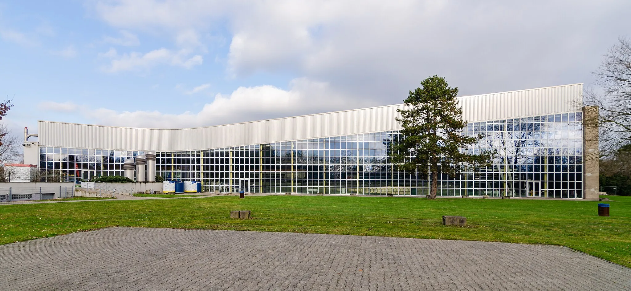
Hochfeld is a locality in Düsseldorf, Germany. While it may not be a top cycling destination, there are still some cycling opportunities available. The roads in the area are generally well-maintained, which makes it suitable for road cycling. However, there aren't any notable or famous cycling spots nearby. Hochfeld is best suited for cyclists looking for casual rides or as a base for exploring other nearby cycling destinations.7 km
7 km
Heinrich-Hildebrand-Höhe67 mPeakTake a break on the Heinrich-Hildebrand-Höhe and enjoy a panoramic view of the surrounding area.
14 km
14 km
Krefeld-Uerdinger BrückeAttractionCross the Krefeld-Uerdinger Brücke, a historic bridge that connects the cities of Krefeld and Duisburg.
31 km
31 km
HülsSub-urbVisit Hüls, a charming village with beautiful half-timbered houses.
39 km
39 km
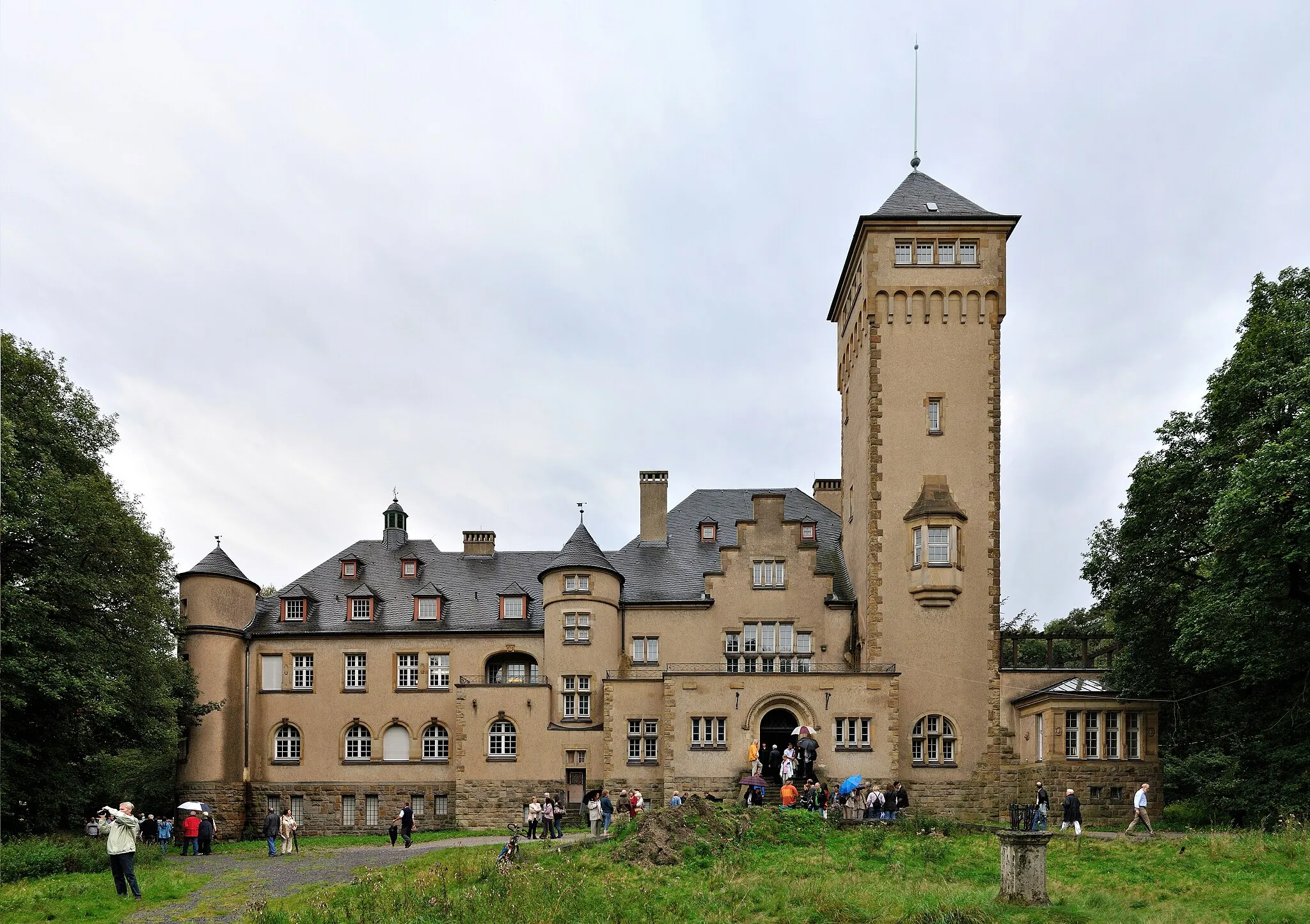
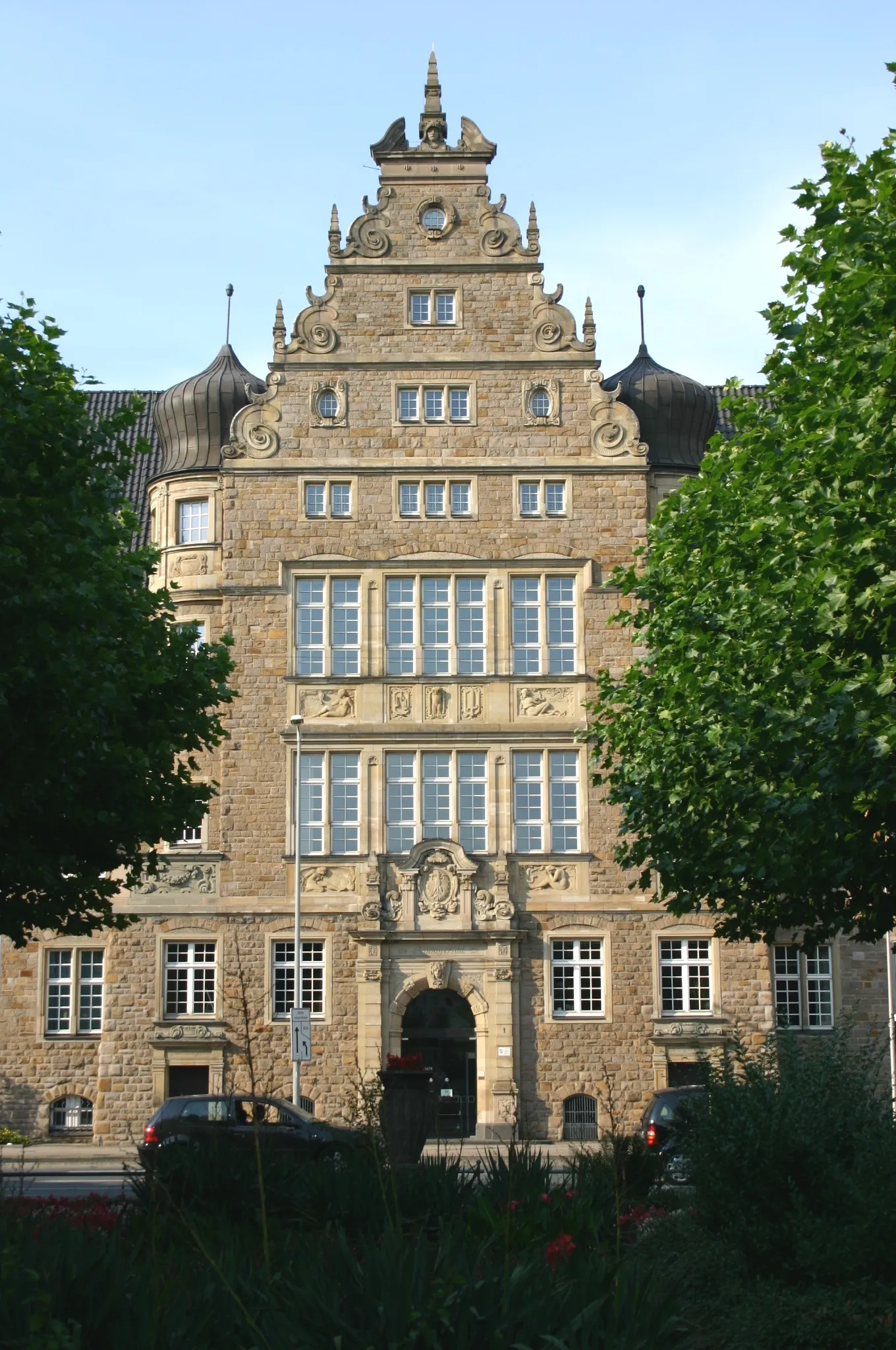
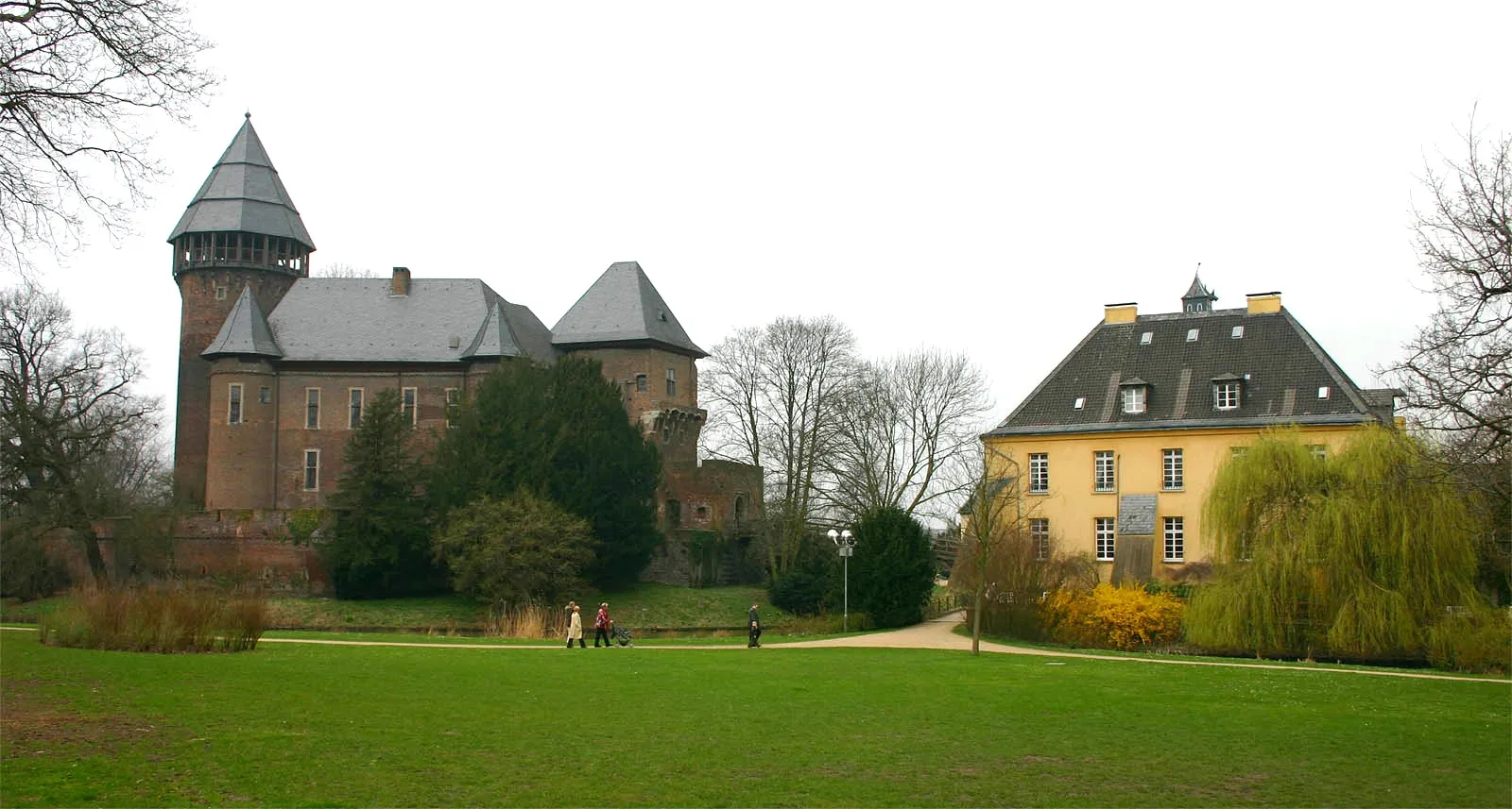
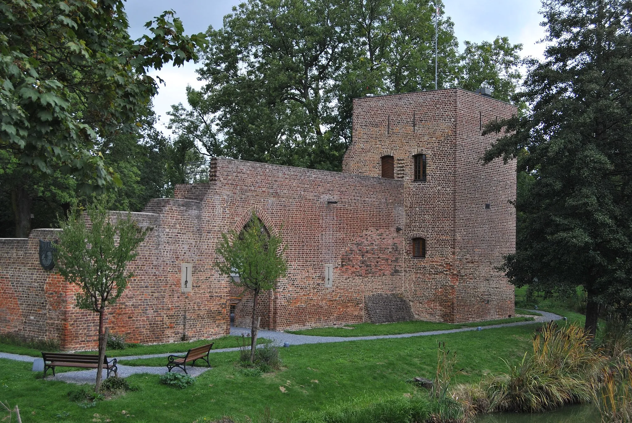
Schloss LeyenburgCastleAdmire the impressive Schloss Leyenburg, a castle surrounded by a moat.
40 km
40 km
PlankendickskendelViewpointExplore the historic Plankendickskendel, a local landmark with a rich history.
49 km
49 km
UtfortSub-urbPass by Utfort, a quaint neighborhood with historical buildings and cobblestone streets.
52 km
52 km
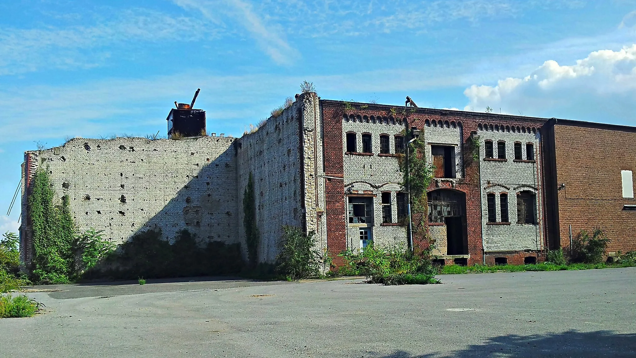
Bergehalde Rheinpreußen103 mViewpointClimb the Bergehalde Rheinpreußen for a panoramic view of the industrial landscape and the river.
59 km
59 km
MühlenweideViewpointVisit the peaceful Mühlenweide, a charming park situated on the banks of the Rhine.
60 km
60 km
RuhrortSub-urbDiscover the historic district of Ruhrort, known for its beautiful harbor and interesting architecture.
63 km
63 km
Finish: Duisburg City centerHochfeld: Relaxed cycling in a well-connected locality.
Cycling routes nearby: