The Hilltop Adventure
A road cycling route starting from Hochfeld
Challenge yourself with thrilling hill climbs and stunning views
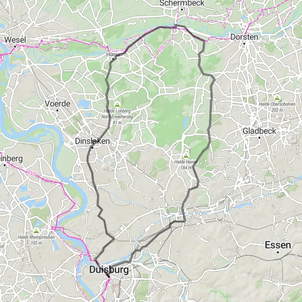
Map
This route is designed for experienced cyclists who love a good challenge. With a high difficulty level, this tour takes you on a rollercoaster ride through hilly terrain. Be prepared for steep ascents and thrilling descents. The epicness rating is high, as you will be rewarded with breathtaking views from the hilltops along the way.
road
73 km
313 m
Savage
Route profile
Highlights on the route
0 km
0 km
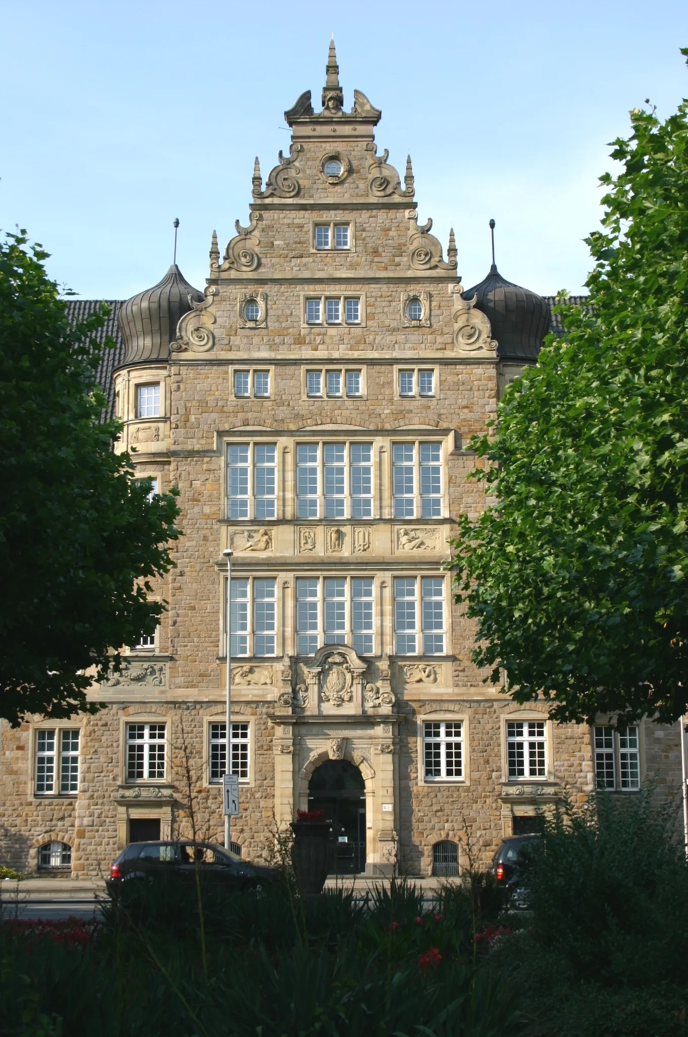
Start: Duisburg City centerHochfeld: Relaxed cycling in a well-connected locality.
Hochfeld is a locality in Düsseldorf, Germany. While it may not be a top cycling destination, there are still some cycling opportunities available. The roads in the area are generally well-maintained, which makes it suitable for road cycling. However, there aren't any notable or famous cycling spots nearby. Hochfeld is best suited for cyclists looking for casual rides or as a base for exploring other nearby cycling destinations.16 km
16 km
Drei KreuzeAttractionPass by Drei Kreuze, a set of three crosses that mark a historic boundary.
28 km
28 km
Aussichtspunkt BrückenpfeilerViewpointVisit the Aussichtspunkt Brückenpfeiler for a stunning view of nearby bridges.
30 km
30 km
BühlHamletClimb the Bühl, a challenging hill that offers rewarding views at the top.
45 km
45 km
HardinghausenVillageStop by Hardinghausen and soak in the tranquility of this rural village.
62 km
62 km
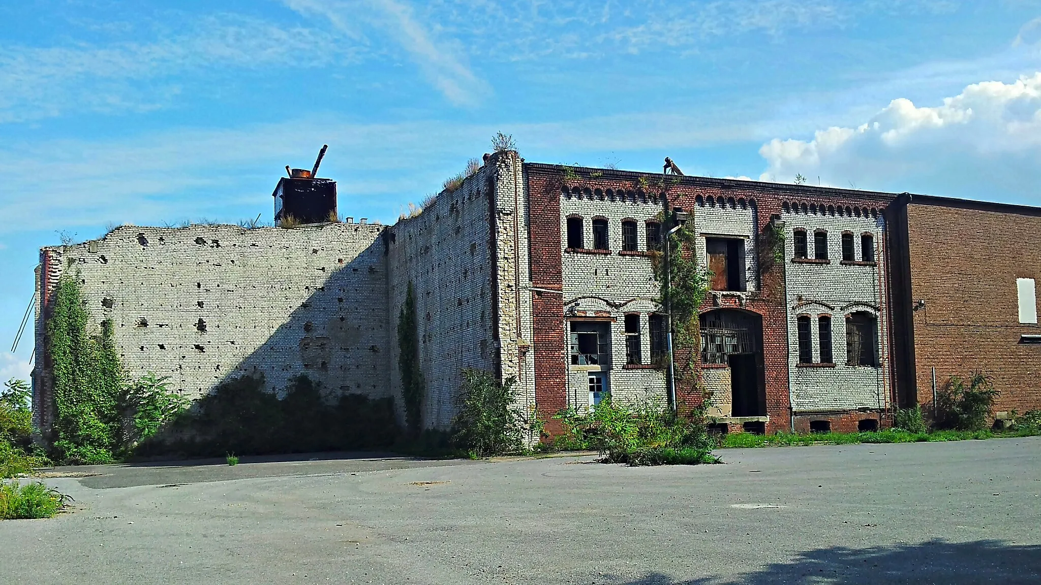
Knappenhalde102 mPeakExplore the Knappenhalde, a former mining site turned nature reserve.
67 km
67 km
ObermeiderichVillageChallenge yourself with the ascent of Obermeiderich, a steep hill with rewarding views.
73 km
73 km
Finish: Duisburg City centerHochfeld: Relaxed cycling in a well-connected locality.
Cycling routes nearby: