Volcanic Peaks and Ancient Ruins
A road cycling route starting from Hohentengen
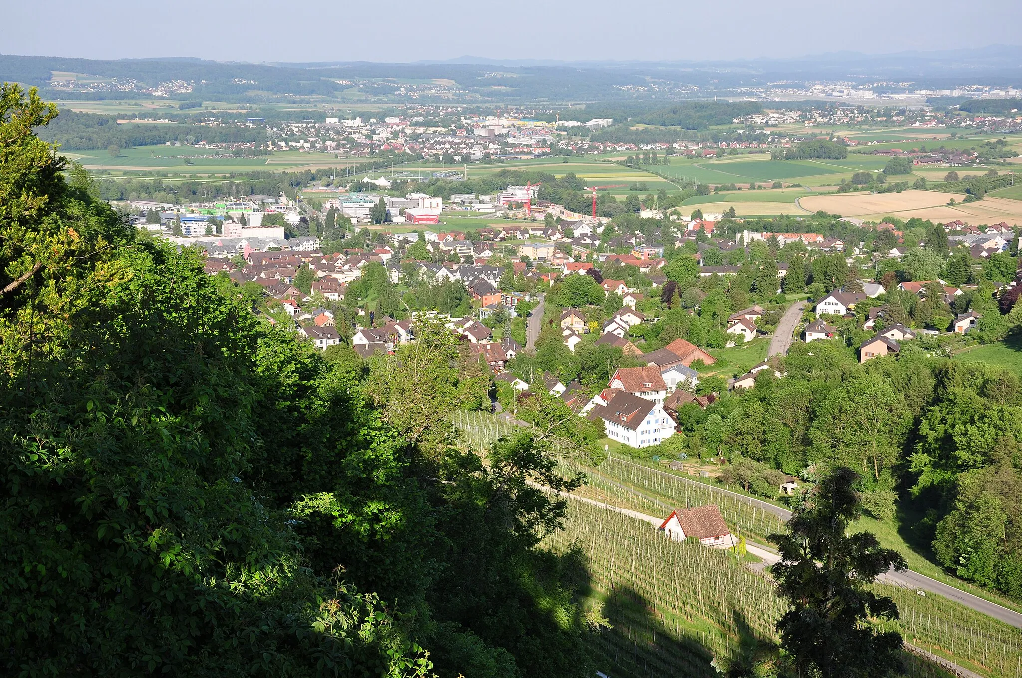
Explore the scenic Kaiserstuhl region and discover the historic Burgruine Weisswasserstelz
Map
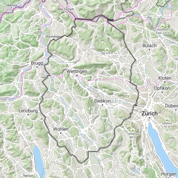
This challenging road cycling route takes you through the picturesque Kaiserstuhl region, known for its volcanic peaks and lush vineyards. Along the way, you'll also have the opportunity to visit the Burgruine Weisswasserstelz, an ancient ruin with stunning panoramic views. With a distance of 110 km and an ascent of 1,517 meters, this route is perfect for experienced cyclists looking for a challenging adventure.
road
110 km
1517 m
Tough
Route profile
Highlights on the route
0 km
0 km
Start: Hohentengen am Hochrhein Village centerHohentengen: Scenic rides through rolling hills and vineyards.
Hohentengen is a locality located in the Freiburg region of Germany. Cyclists can enjoy scenic rides through the picturesque landscapes surrounding Hohentengen, including rolling hills, vineyards, and small villages. While there are no famous cycling-related spots or well-known climbs directly in Hohentengen, the region offers plenty of options for road and gravel cyclists. Nearby, cyclists can explore the Black Forest and its popular cycling routes, such as the Black Forest Panorama Route.1 km
1 km
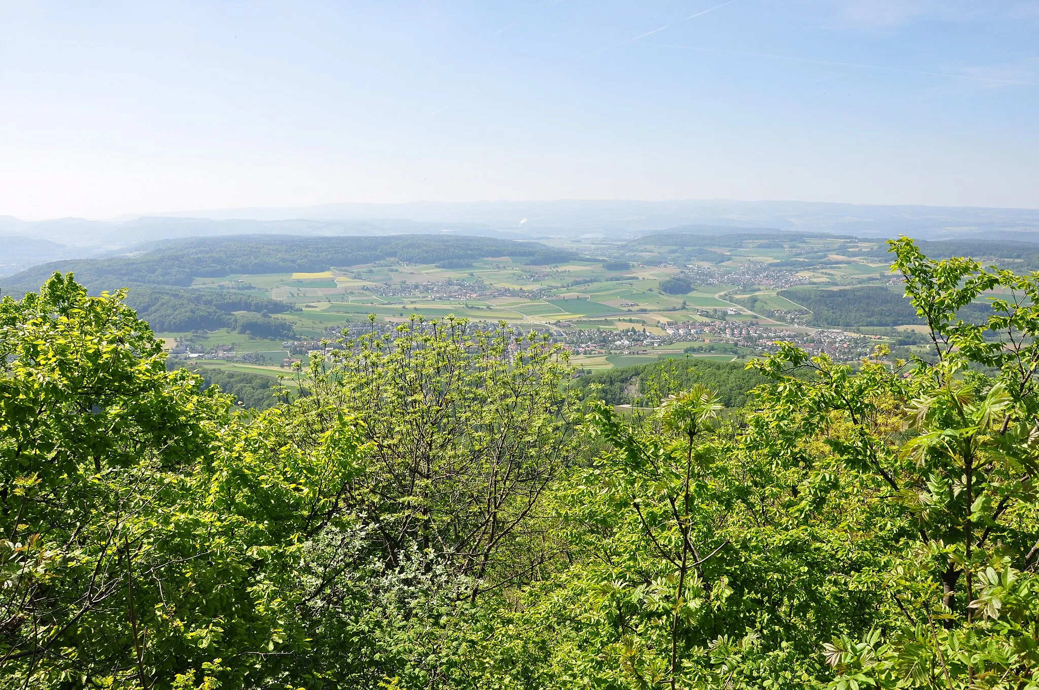
KaiserstuhlVillageThe Kaiserstuhl is a small range of volcanic hills famous for its unique flora and fauna.
8 km
8 km
StadlerturmViewpointThe Stadlerturm offers breathtaking views over the entire Kaiserstuhl region.
33 km
33 km
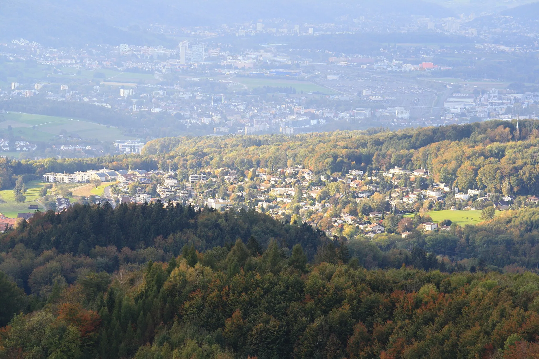
UitikonVillageUitikon is a quiet village with picturesque traditional houses.
48 km
48 km
AristauVillageAristau is a charming village known for its beautiful rolling landscapes.
62 km
62 km
VillmergenVillageVillmergen is a historic town with well-preserved medieval architecture.
78 km
78 km
StutzViewpointStutz is a small hamlet surrounded by idyllic countryside.
82 km
82 km
GebenstorfVillageGebenstorf is home to the imposing Gebenstorferhorn, a natural landmark.
92 km
92 km
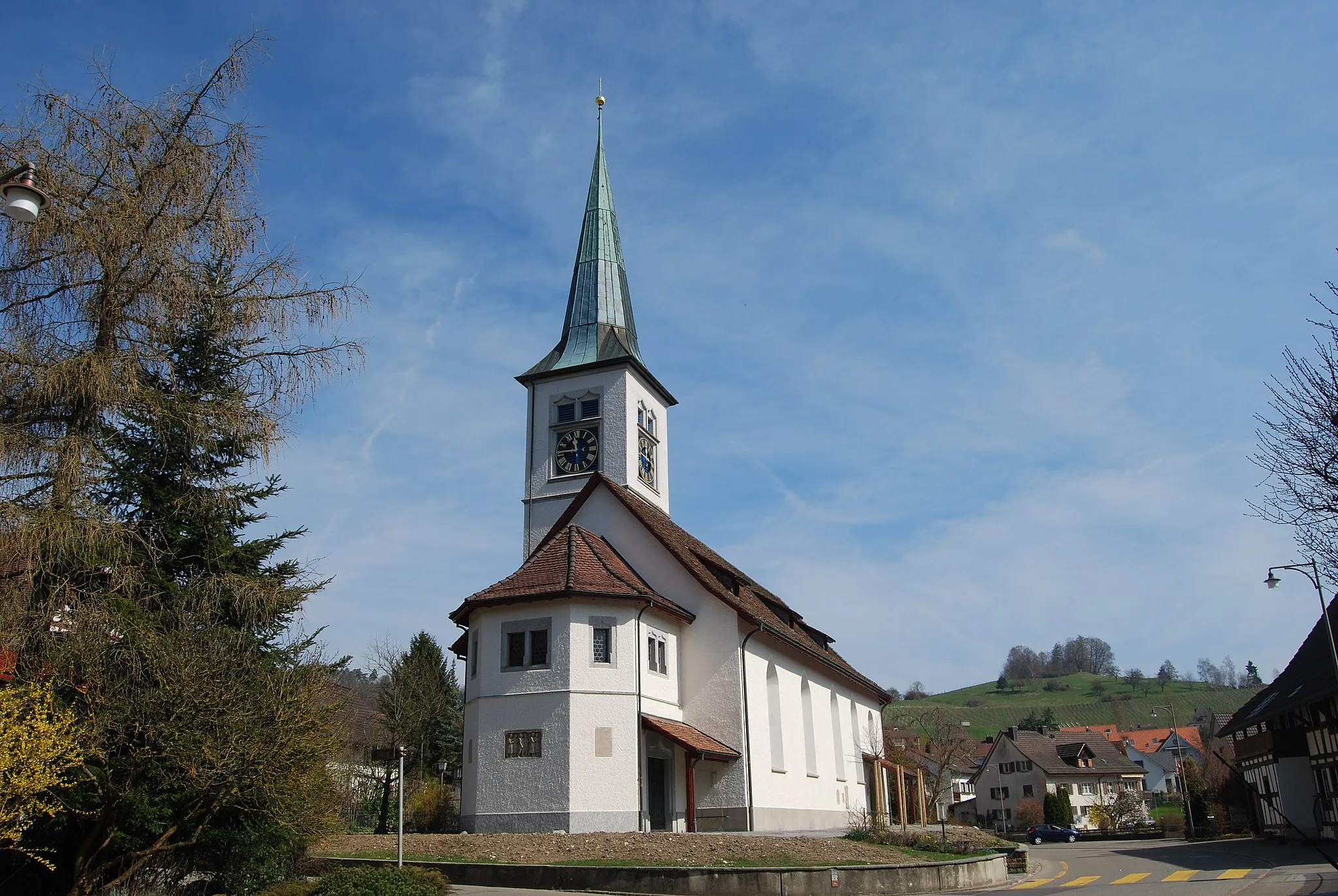
EndingenVillageEndingen is a charming town with colorful buildings and a rich wine heritage.
99 km
99 km
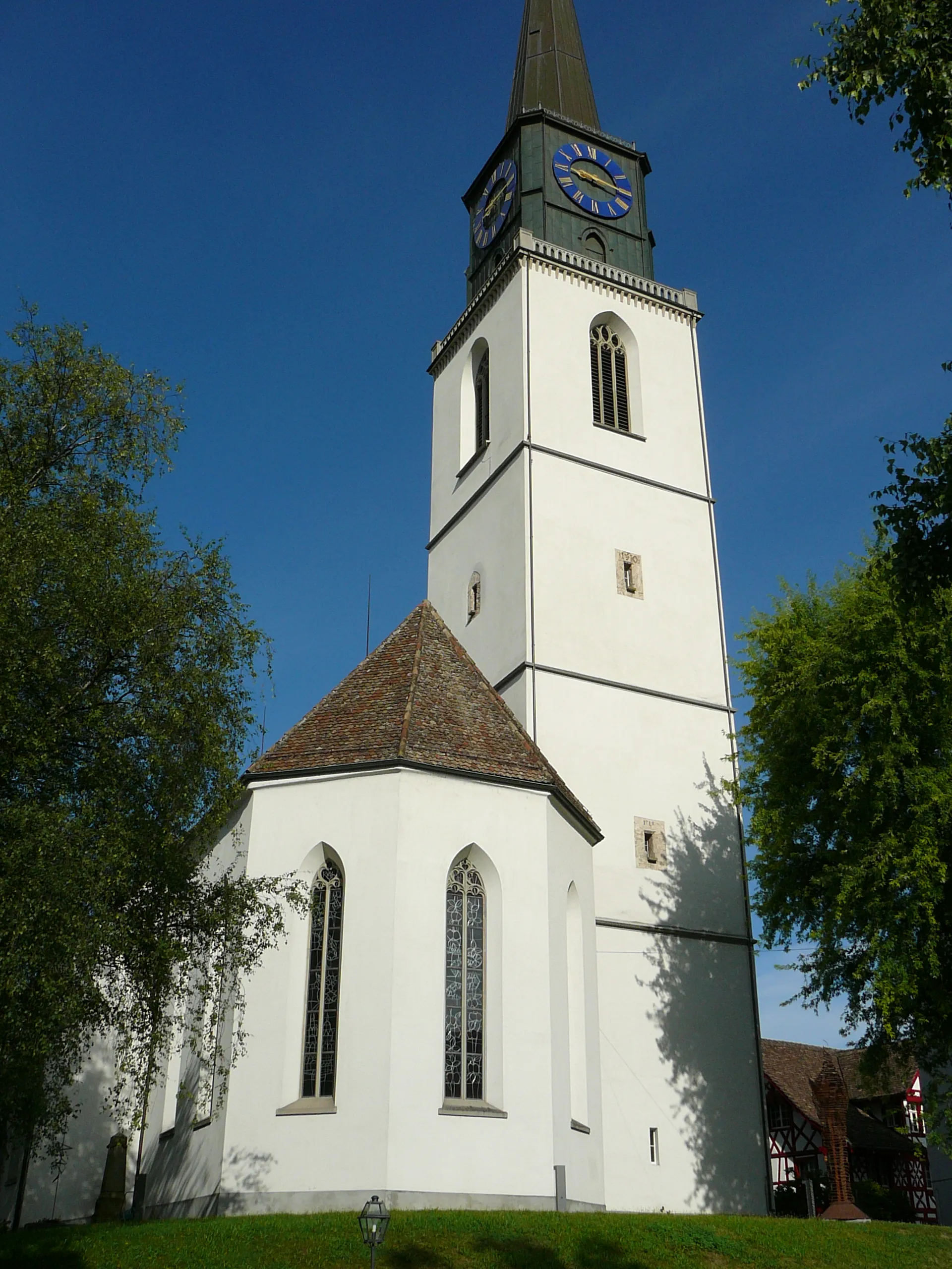
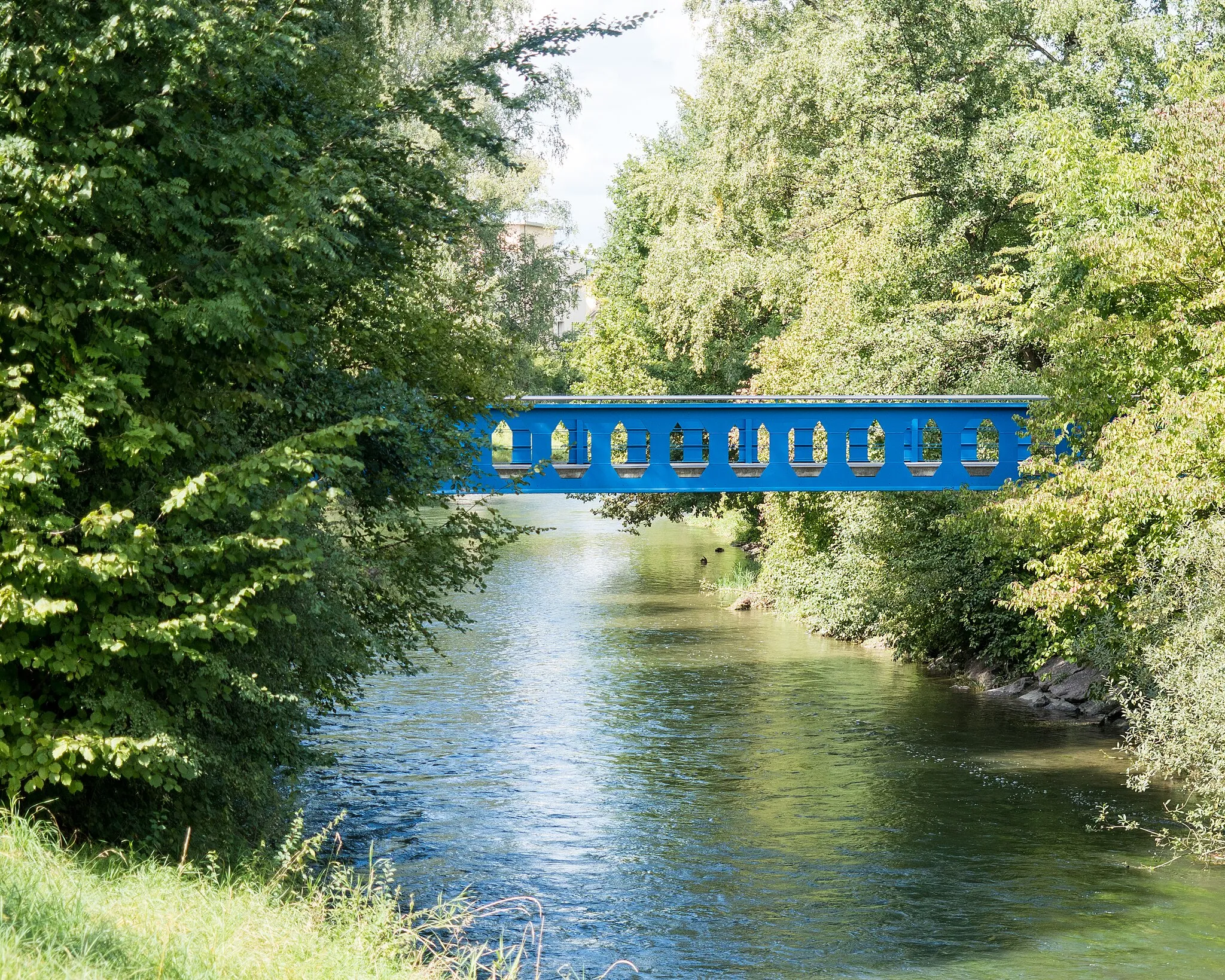
RekingenVillageRekingen is a border town with beautiful views of the Rhine river.
107 km
107 km
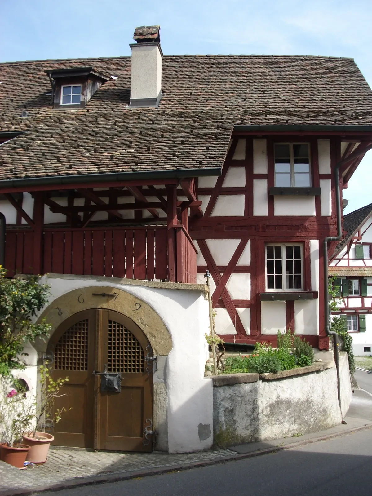
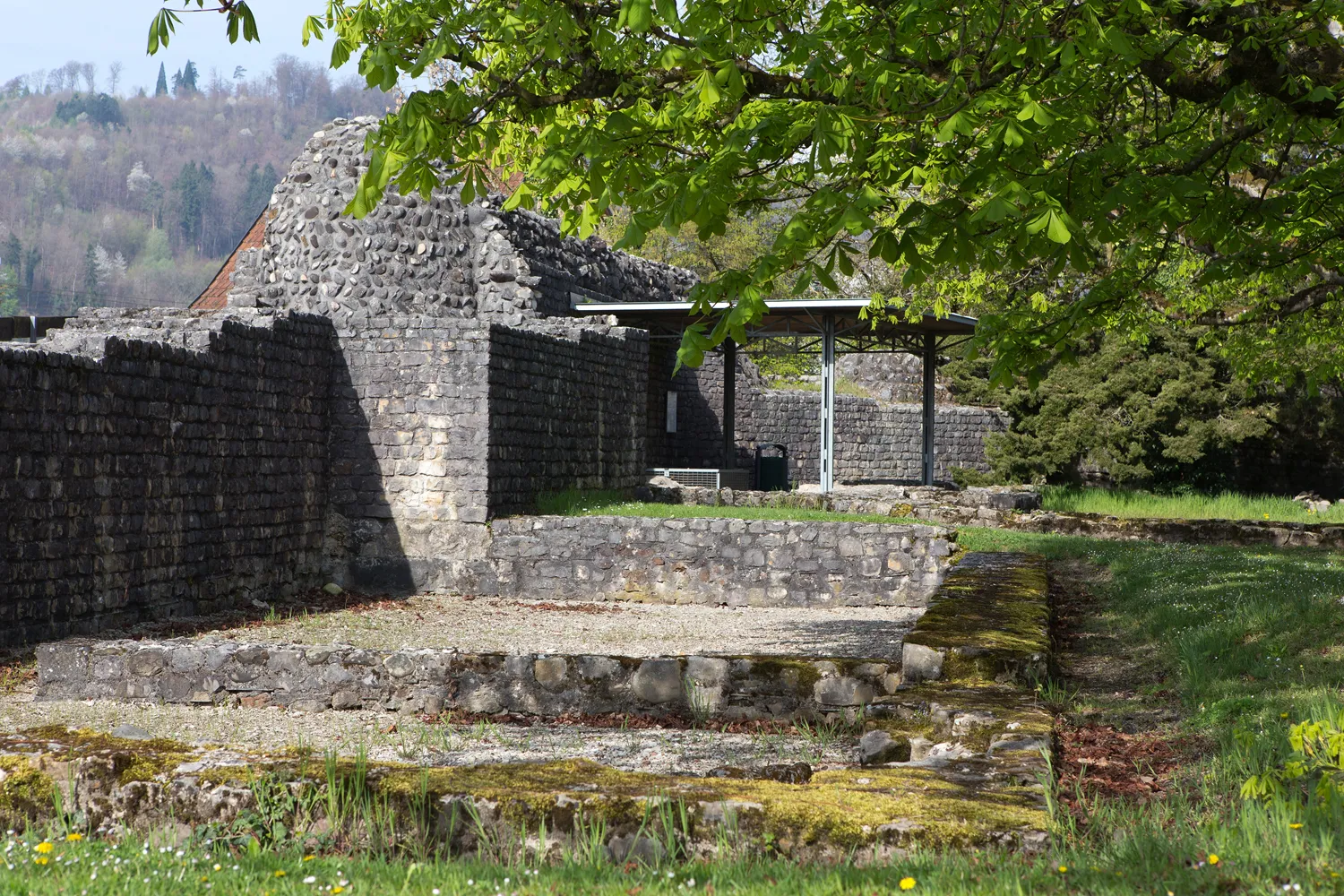
Burgruine WeisswasserstelzCastleBurgruine Weisswasserstelz is an ancient ruin with a fascinating history.
110 km
110 km
Finish: Hohentengen am Hochrhein Village centerHohentengen: Scenic rides through rolling hills and vineyards.
Cycling routes from Hohentengen:
The Gravel Adventure through Eglisau The Scenic Road Journey to Rhine Falls The Gravel Adventure to Pfungen Hills The Ultimate Gravel Challenge to Zurich The Gravel Escape to Rümikon Hohentengen and the Surrounding Hills Volcanic Peaks and Ancient Ruins Kaiserstuhl and Beyond Scenic Road Loop Exploring Winterthur and Zimberg Gravel Cycling Route Hohentengen Road Cycling Route Hohentengen
Cycling routes nearby: