Road Cycling Route Hohentengen
A road cycling route starting from Hohentengen
Cycle through stunning landscapes of Freiburg
Map
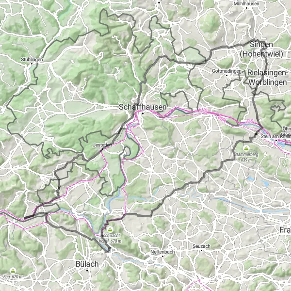
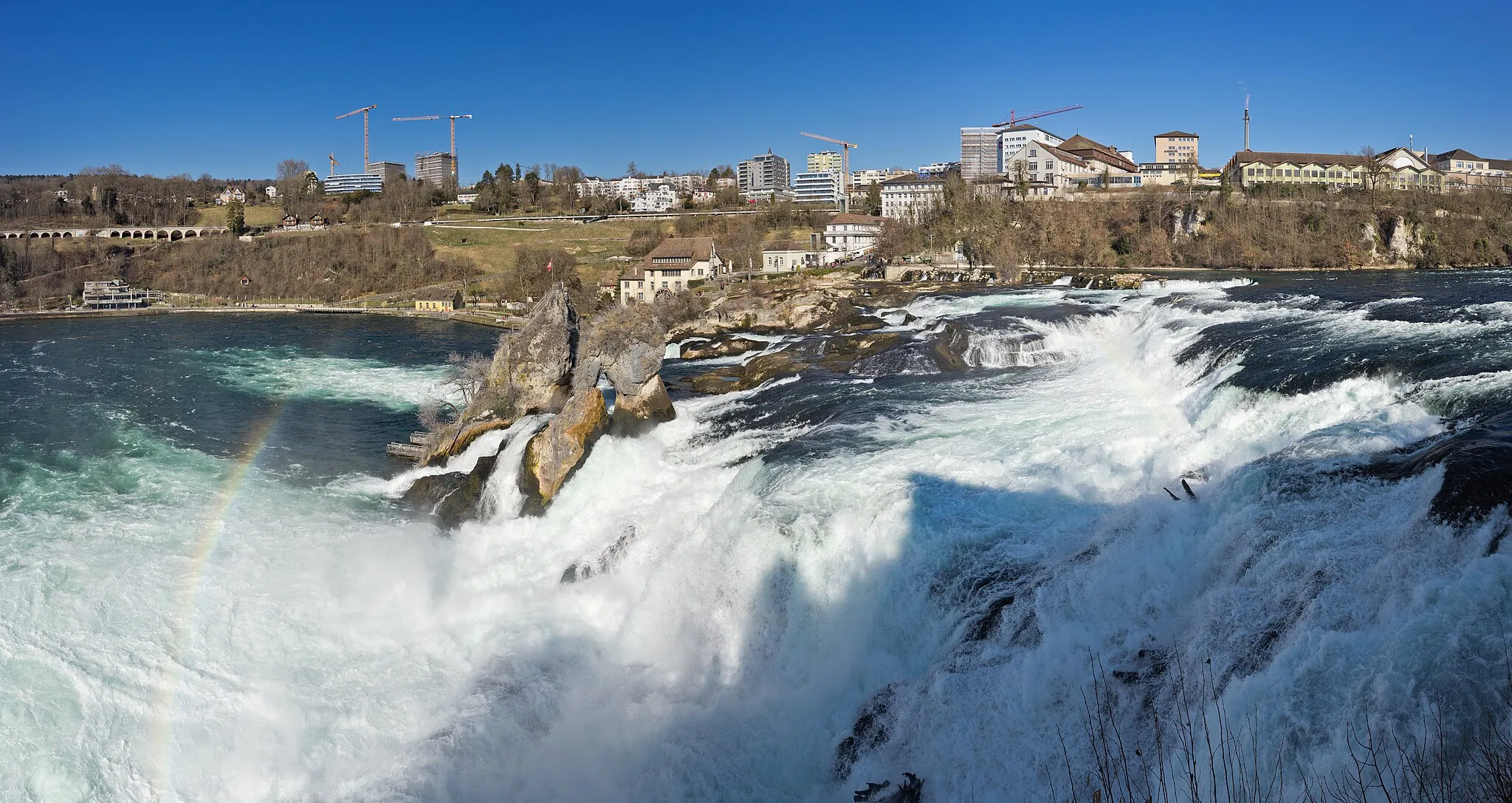
This road cycling route starting near Hohentengen offers breathtaking views of the Rhine Falls, one of the largest waterfalls in Europe. With a total ascent of 1329 meters and covering a distance of 110 kilometers, this challenging route is perfect for well-trained amateur cyclists. The route takes you through scenic areas such as Dettighofen, Belvedere, and Berg. Make sure to stop by Staufen, where you can enjoy panoramic views of the surrounding countryside.
road
110 km
1329 m
Tough
Route profile
Highlights on the route
0 km
0 km
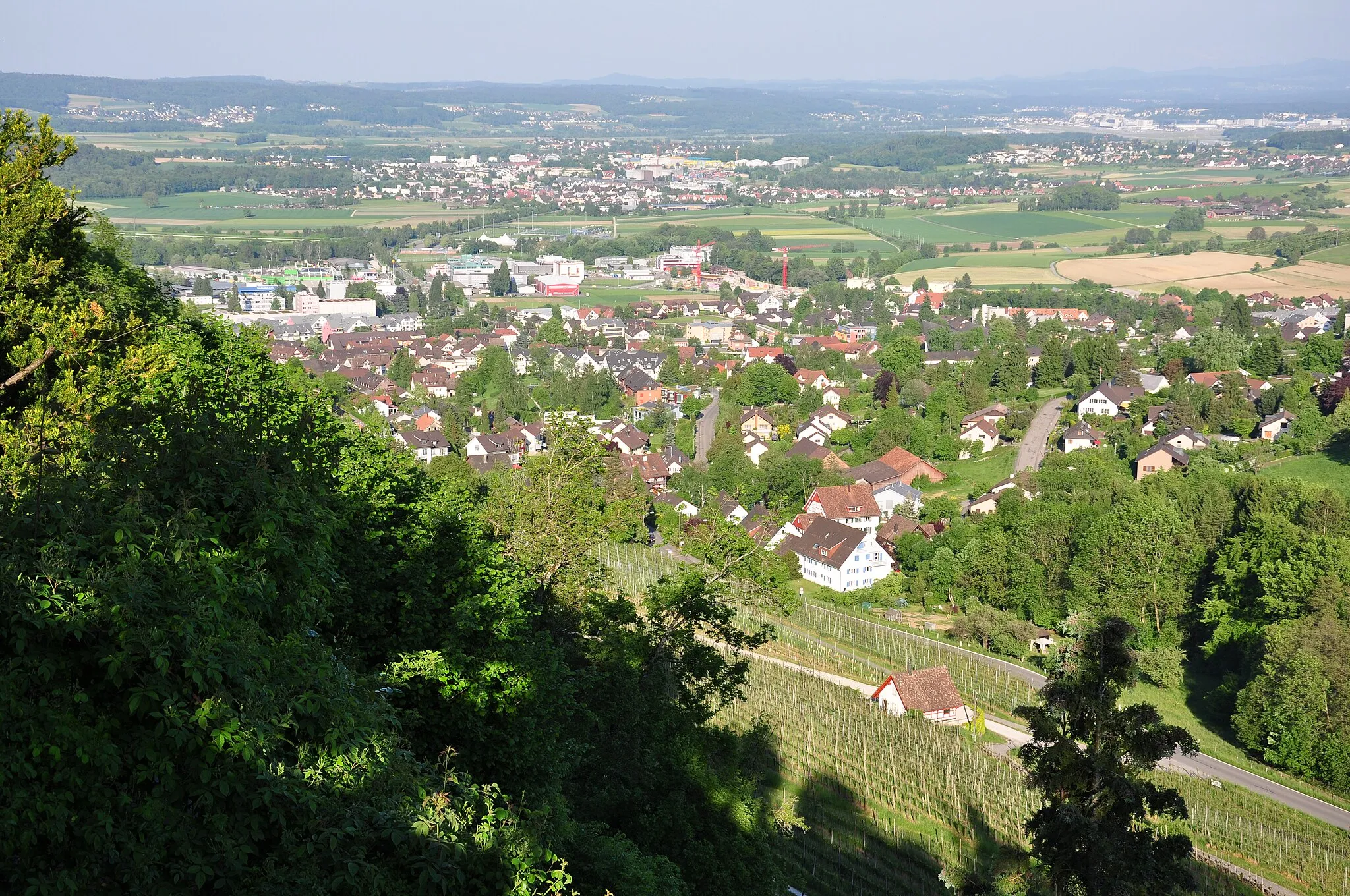
Start: Hohentengen am Hochrhein Village centerHohentengen: Scenic rides through rolling hills and vineyards.
Hohentengen is a locality located in the Freiburg region of Germany. Cyclists can enjoy scenic rides through the picturesque landscapes surrounding Hohentengen, including rolling hills, vineyards, and small villages. While there are no famous cycling-related spots or well-known climbs directly in Hohentengen, the region offers plenty of options for road and gravel cyclists. Nearby, cyclists can explore the Black Forest and its popular cycling routes, such as the Black Forest Panorama Route.9 km
9 km
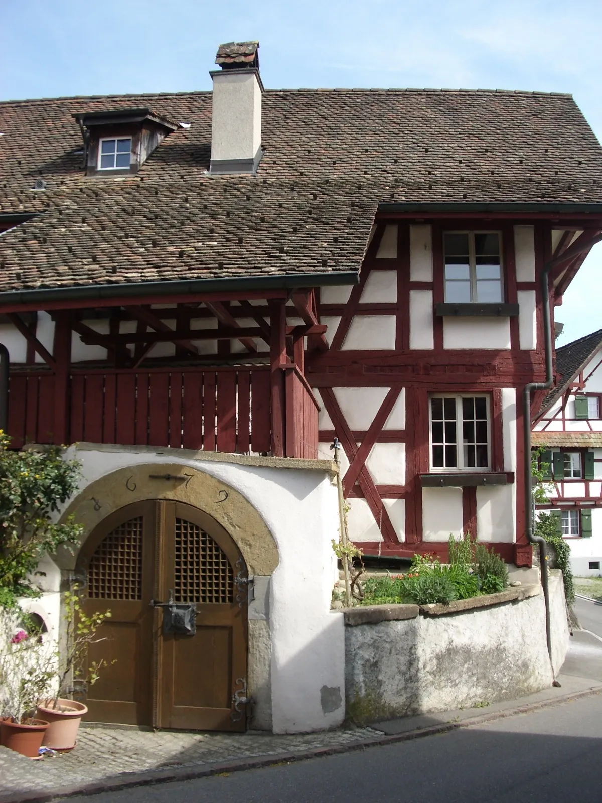
DettighofenVillageLocated in Dettighofen, you can visit the Dettighofen Castle and explore its rich history.
23 km
23 km
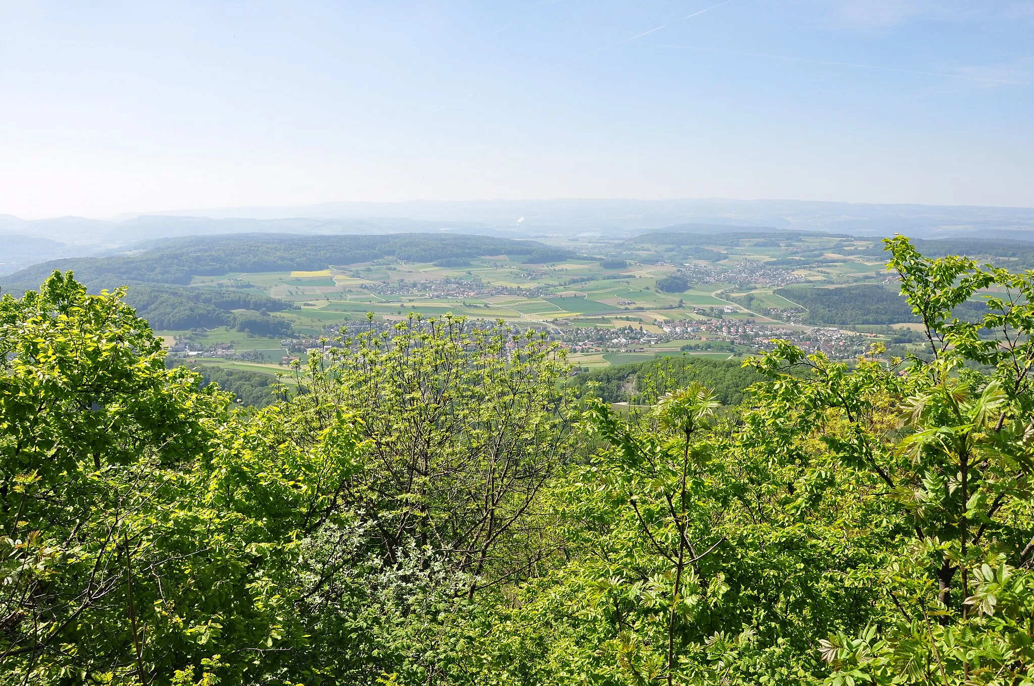
BelvedereViewpointBelvedere offers stunning views of Lake Constance and the Alps, making it a great spot to take memorable photos.
23 km
23 km
Rhine FallsWaterfallRhine Falls is a must-visit highlight along the route, known for its impressive size and natural beauty.
37 km
37 km
Berg533 mPeakBerg offers picturesque landscapes and charming traditional architecture for you to explore.
37 km
37 km
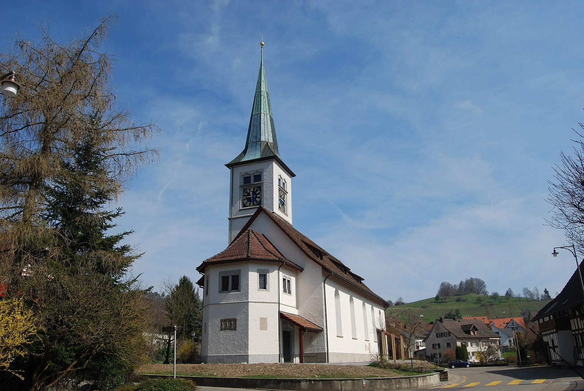
ThayngenVillageThayngen is a quaint town with historic buildings and a rich cultural heritage.
46 km
46 km
Staufen593 mPeakStaufen is known for its panoramic views of the surrounding countryside, providing a unique cycling experience.
51 km
51 km
Singen (Hohentwiel)TownSingen (Hohentwiel) is a historic town with a medieval castle and vibrant cultural scene.
62 km
62 km
HemishofenVillageHemishofen is a charming village known for its beautiful landscapes and traditional Swiss architecture.
62 km
62 km
Wolkensteinerberg608 mPeak ViewpointWolkensteinerberg offers stunning views of the Rhine Valley and the nearby Swiss Alps.
73 km
73 km
Stucken486 mPeakStucken is a small village with traditional half-timbered houses and a quiet countryside atmosphere.
86 km
86 km
VolkenVillageVolken is a peaceful village where you can take a break and enjoy the idyllic surroundings.
96 km
96 km
FreiensteinVillageFreienstein is a picturesque town with a historic old town area and stunning views of the surrounding landscapes.
99 km
99 km
Höhrain526 mPeakHöhrain is a scenic area with beautiful forests and nature trails, perfect for exploring on foot.
110 km
110 km
Hohentengen am HochrheinVillageHohentengen am Hochrhein is the starting and ending point of this road cycling route, known for its charming riverside location and historic architecture.
110 km
110 km
Finish: Hohentengen am Hochrhein Village centerHohentengen: Scenic rides through rolling hills and vineyards.
Cycling routes from Hohentengen:
The Gravel Adventure through Eglisau The Scenic Road Journey to Rhine Falls The Gravel Adventure to Pfungen Hills The Ultimate Gravel Challenge to Zurich The Gravel Escape to Rümikon Hohentengen and the Surrounding Hills Volcanic Peaks and Ancient Ruins Kaiserstuhl and Beyond Scenic Road Loop Exploring Winterthur and Zimberg Gravel Cycling Route Hohentengen Road Cycling Route Hohentengen
Cycling routes nearby: