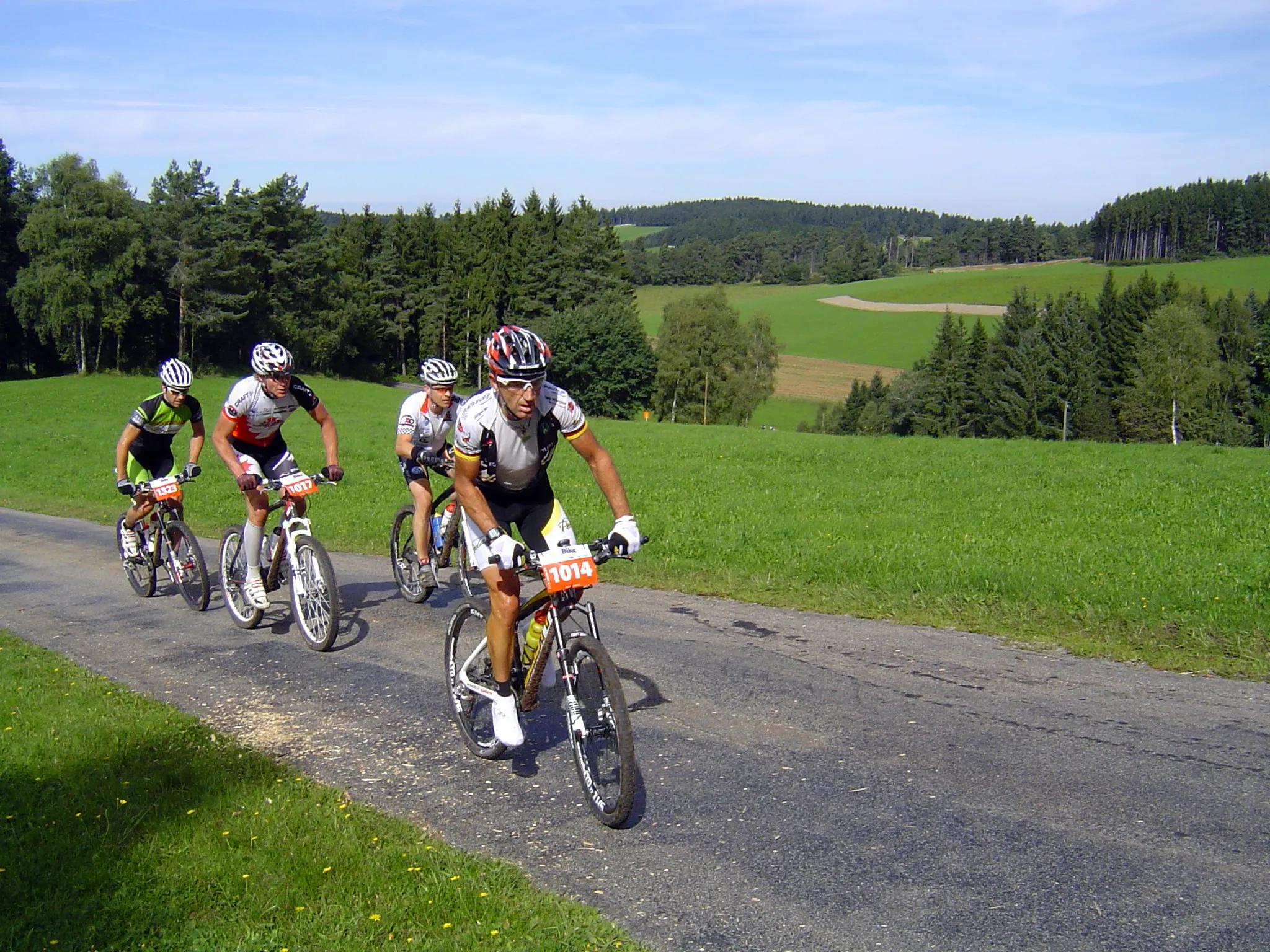
Gravel Adventure
A gravel cycling route starting from Muhlenbach
Embark on an epic gravel adventure in the heart of the Black Forest
Map
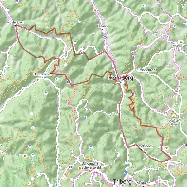
Gear up for an epic gravel adventure through the heart of the Black Forest. With a total ascent of 2,018 meters and a distance of 59 kilometers, this route is packed with thrilling climbs and breathtaking descents. Along the way, you'll encounter highlights such as Buskopf and Hörnle.
gravel
59 km
2018 m
Tough
Route profile
Highlights on the route
0 km
0 km
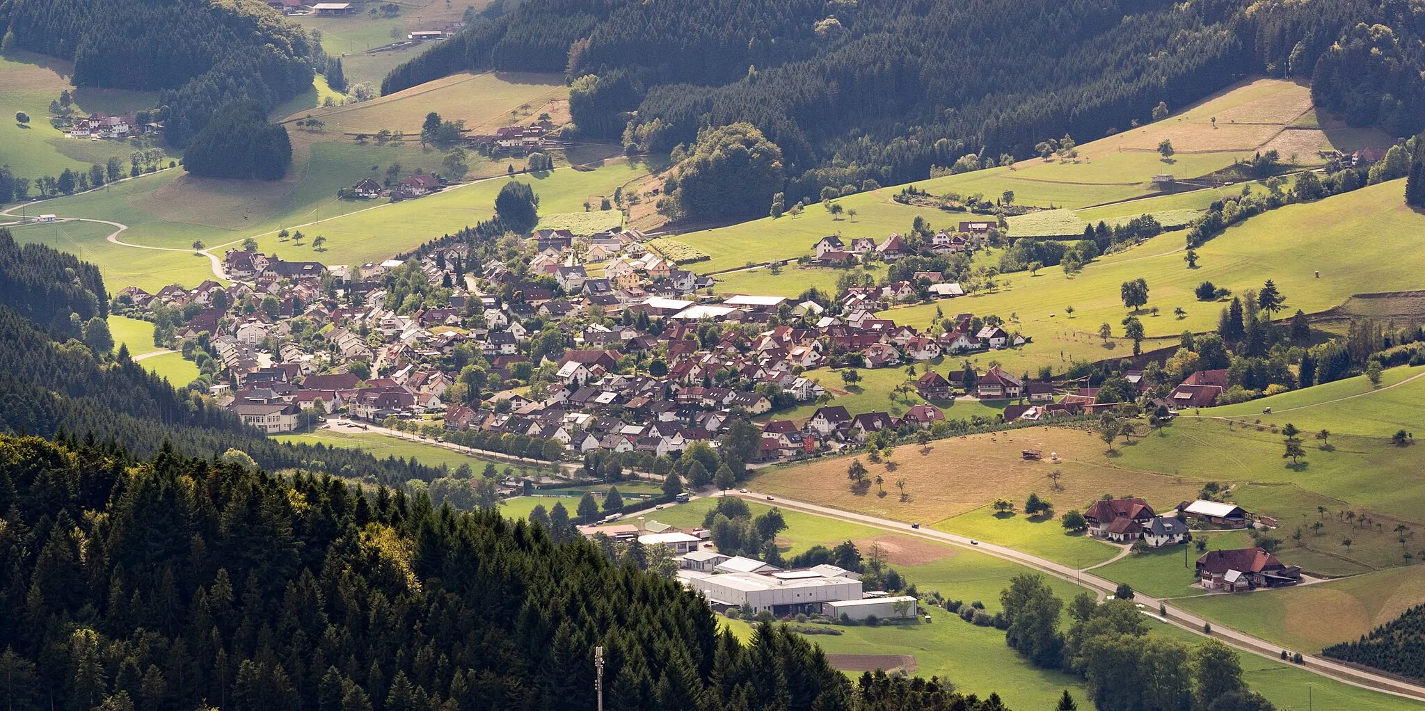
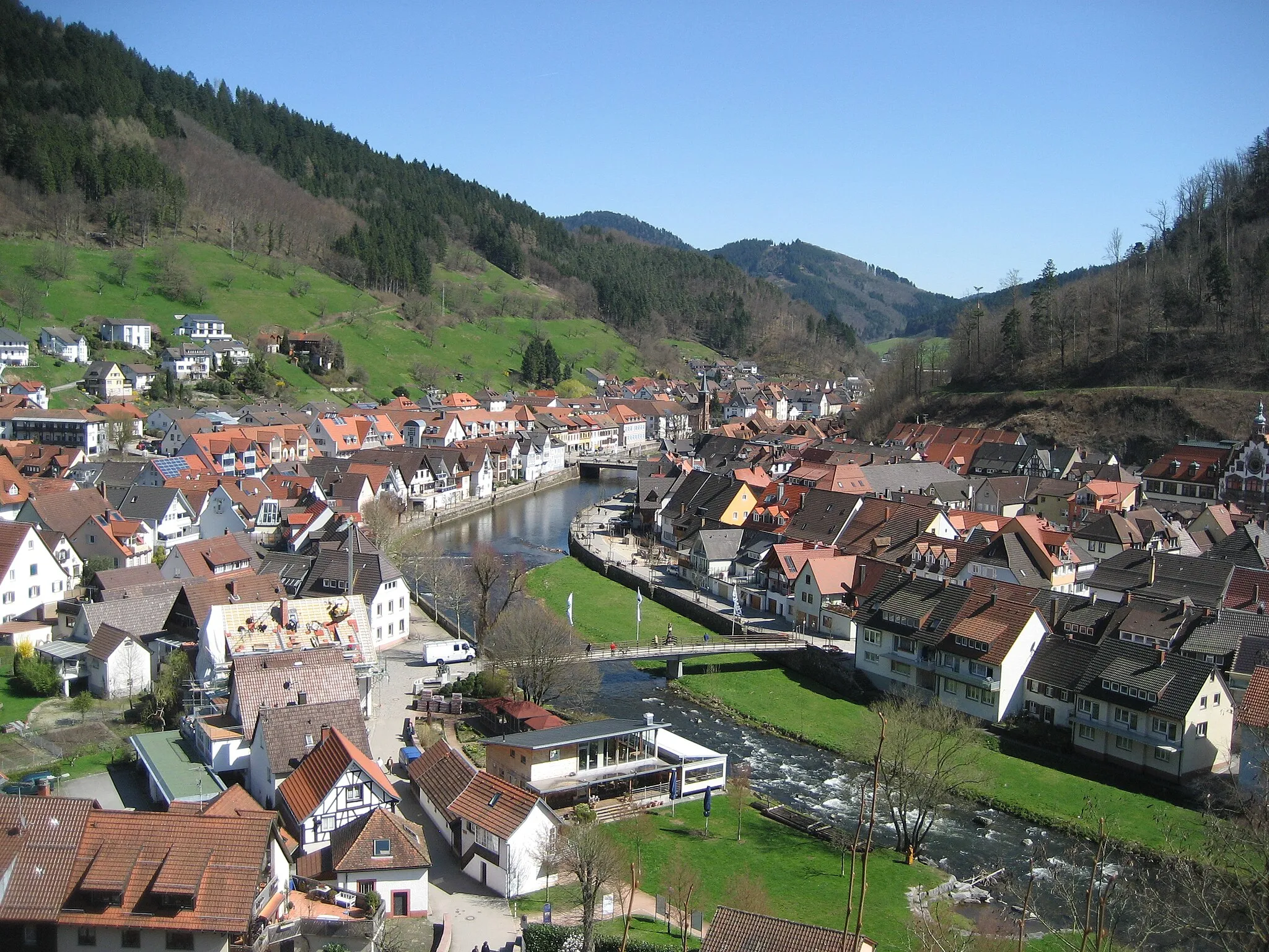
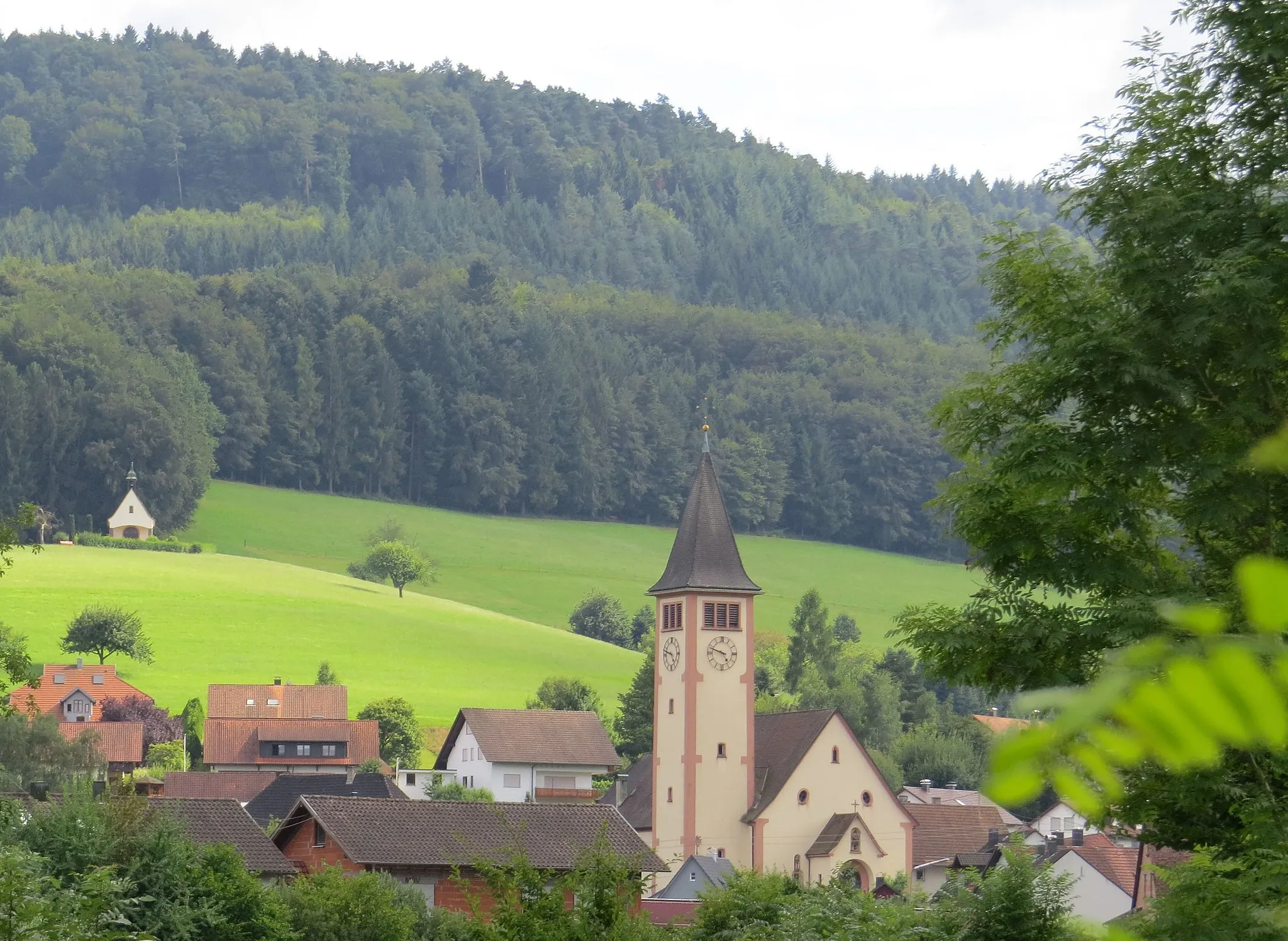
Start: Mühlenbach Village centerMühlenbach: A cyclist's paradise in the heart of the Black Forest, offering stunning scenery and iconic climbs.
Mühlenbach, located in the Freiburg region of Germany, is a cyclist's paradise nestled in the heart of the Black Forest. The area offers a wide range of cycling routes suitable for road and gravel cyclists, surrounded by stunning natural scenery and quaint villages. Cyclists can explore the scenic Kinzigtal Valley or challenge themselves on the nearby Feldberg Mountain, the highest peak in the Black Forest region. Mühlenbach has a rich cycling history, with its proximity to iconic climbs such as Schauinsland adding to its appeal. Overall, this locality provides a perfect blend of natural beauty and thrilling cycling opportunities.10 km
10 km
Buskopf567 mPeakConquer the challenging climb to Buskopf and be rewarded with panoramic views of the Black Forest.
16 km
16 km
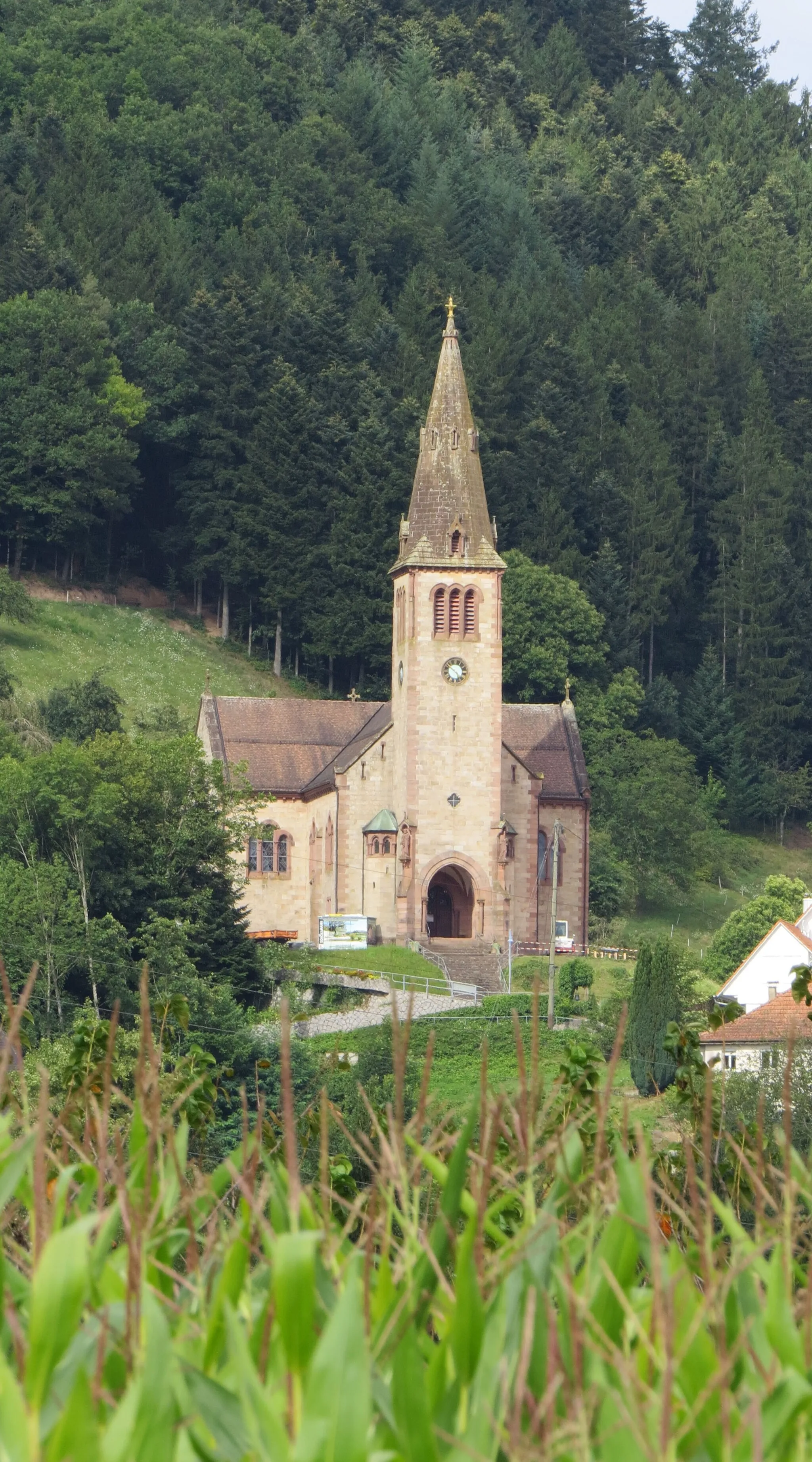
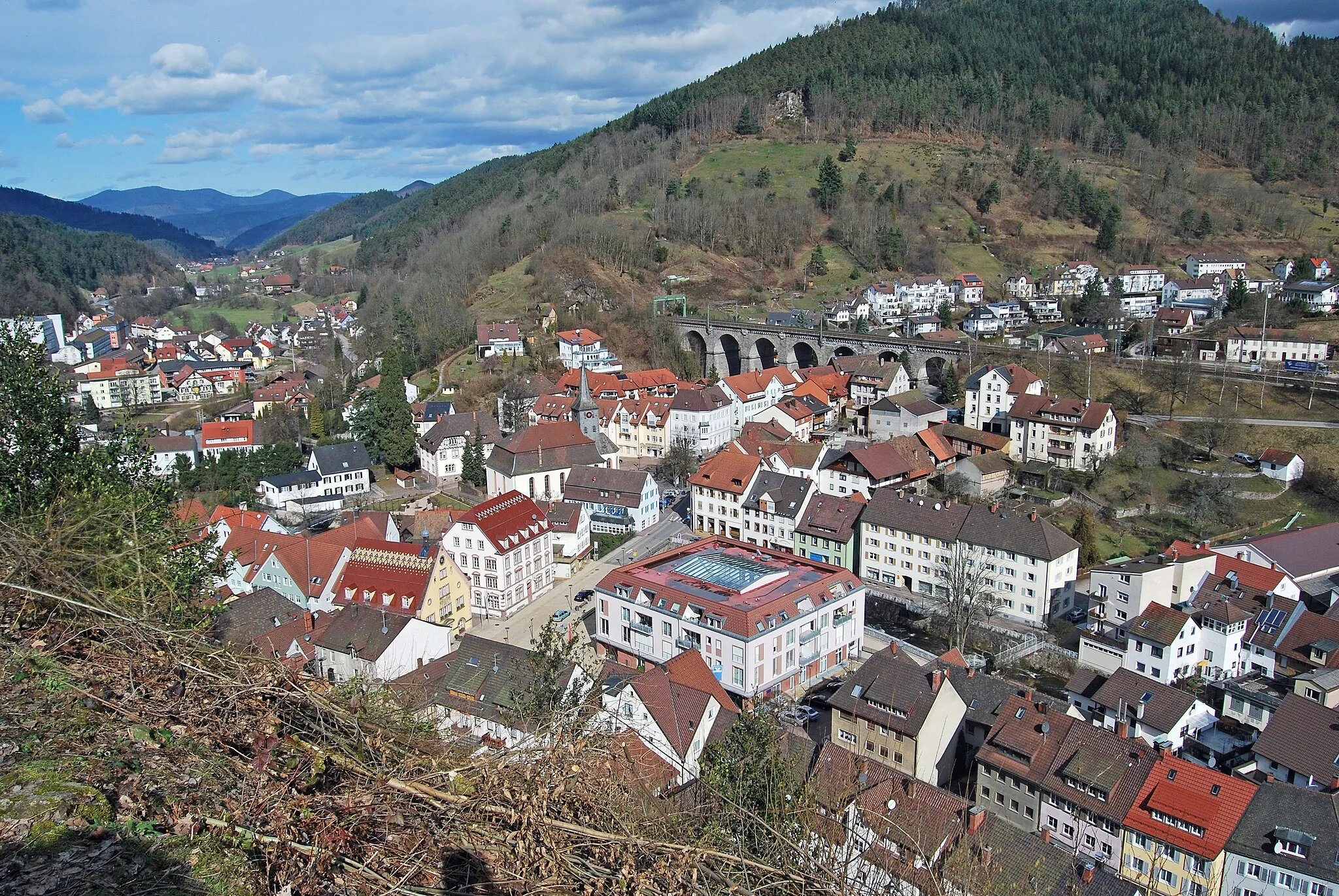
HornbergTownDiscover the historic town of Hornberg and explore its well-preserved medieval castle.
19 km
19 km
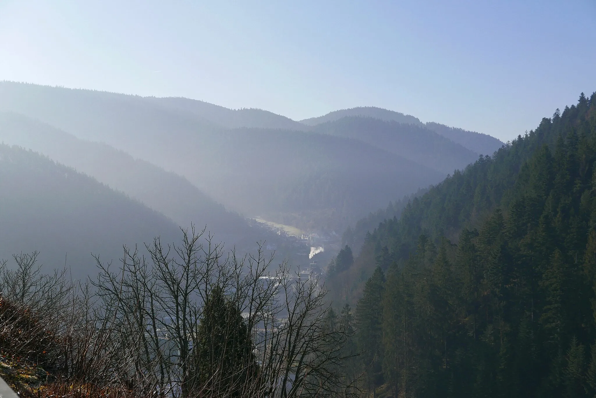
Immelsbacherhöhe772 mPeakExperience the scenic beauty of the Immelsbacherhöhe viewpoint and soak in the breathtaking views.
28 km
28 km
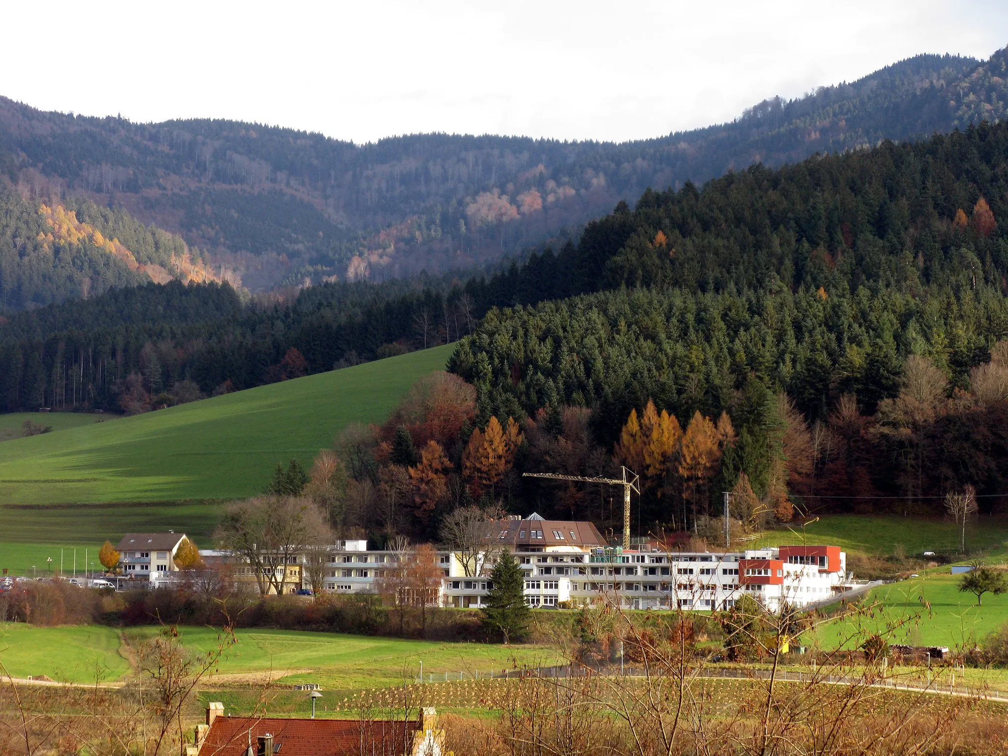
BrunnholzShelterPass through Brunnholz and enjoy the peacefulness of this secluded area in the heart of the Black Forest.
38 km
38 km
SandbühlViewpointVisit Sandbühl, a small village surrounded by dense forests and scenic hiking trails.
48 km
48 km
Huberfelsen760 mViewpointMarvel at the impressive rock formation of Huberfelsen and take in the beauty of nature.
54 km
54 km
Hörnle603 mPeakClimb to the top of Hörnle and enjoy stunning panoramic views of the Black Forest.
59 km
59 km
MühlenbachVillageBegin and end your adventure in the charming village of Mühlenbach, known for its idyllic setting amidst the Black Forest.
59 km
59 km
Finish: Mühlenbach Village centerMühlenbach: A cyclist's paradise in the heart of the Black Forest, offering stunning scenery and iconic climbs.
Cycling routes nearby: