Geisberg Challenge
A road cycling route starting from Muhlenbach
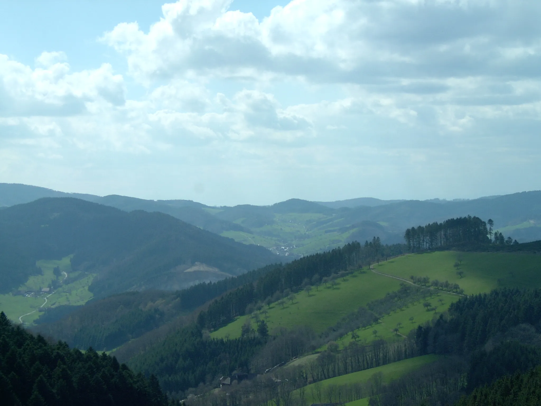
Conquer the Hoher Geisberg and be rewarded with stunning views over the Rhine Valley
Map
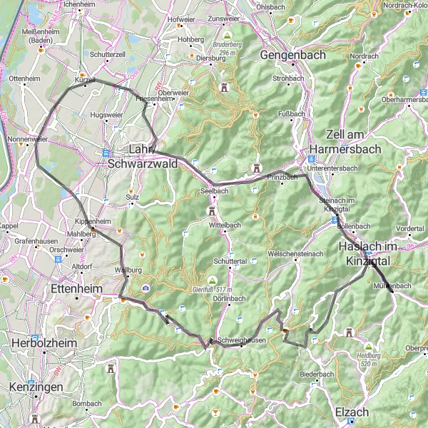
Get ready for a challenging road cycling route that takes you to the summit of Hoher Geisberg. With a total ascent of 1,377 meters and a distance of 87 kilometers, this route promises beautiful scenery and exhilarating climbs. Along the way, you'll pass highlights such as the Altvater viewpoint and Hohengeroldseck castle.
road
87 km
1377 m
Tough
Route profile
Highlights on the route
0 km
0 km
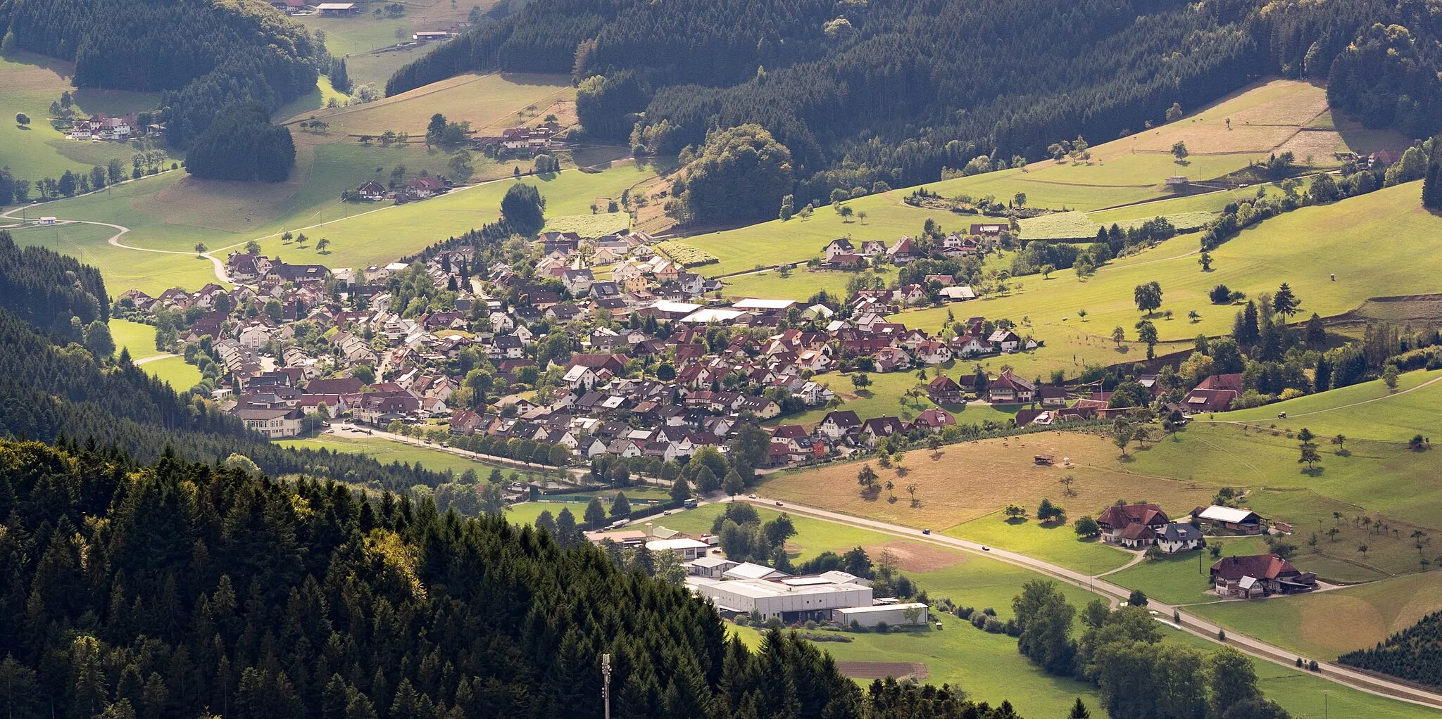
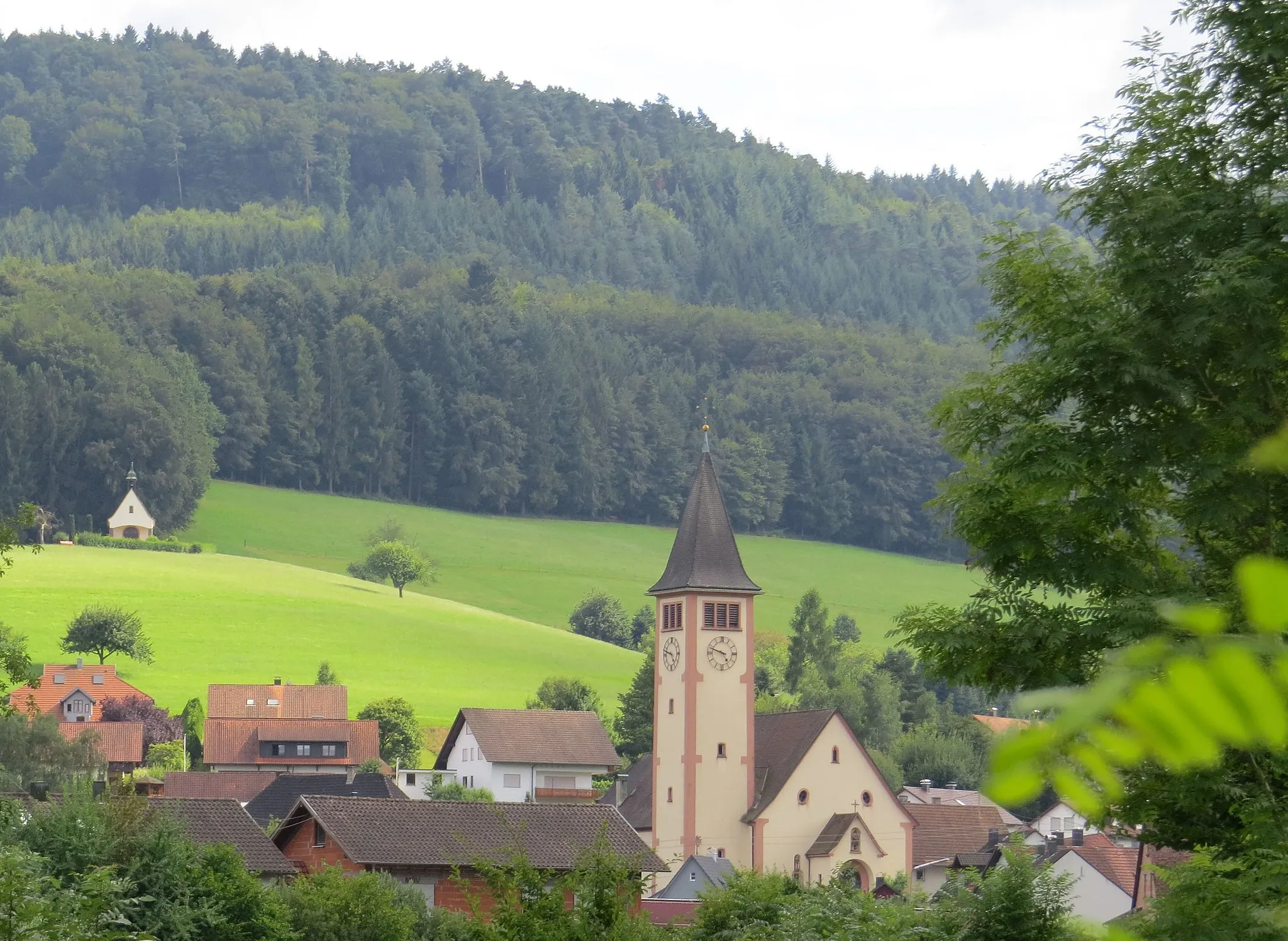
Start: Mühlenbach Village centerMühlenbach: A cyclist's paradise in the heart of the Black Forest, offering stunning scenery and iconic climbs.
Mühlenbach, located in the Freiburg region of Germany, is a cyclist's paradise nestled in the heart of the Black Forest. The area offers a wide range of cycling routes suitable for road and gravel cyclists, surrounded by stunning natural scenery and quaint villages. Cyclists can explore the scenic Kinzigtal Valley or challenge themselves on the nearby Feldberg Mountain, the highest peak in the Black Forest region. Mühlenbach has a rich cycling history, with its proximity to iconic climbs such as Schauinsland adding to its appeal. Overall, this locality provides a perfect blend of natural beauty and thrilling cycling opportunities.15 km
15 km
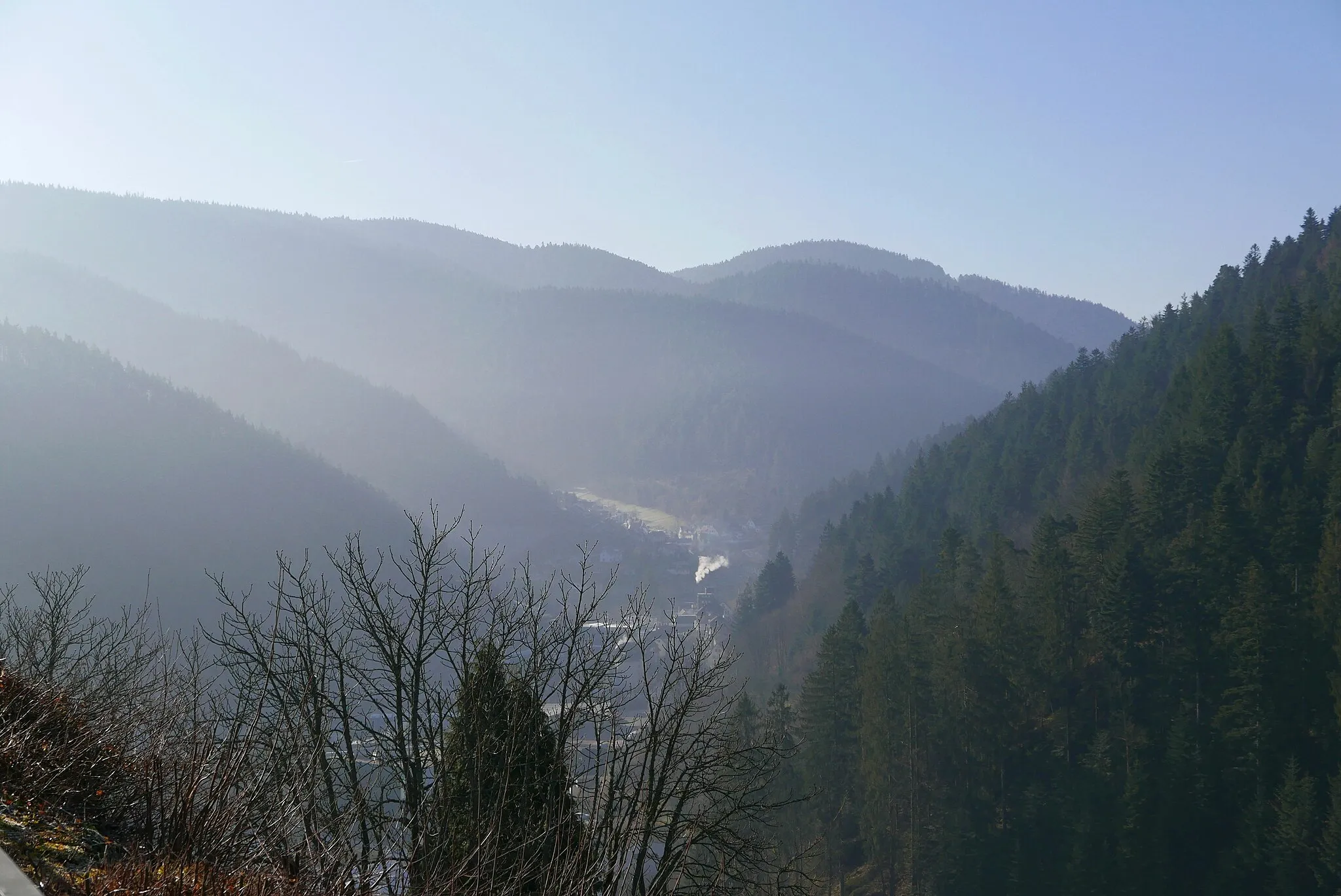
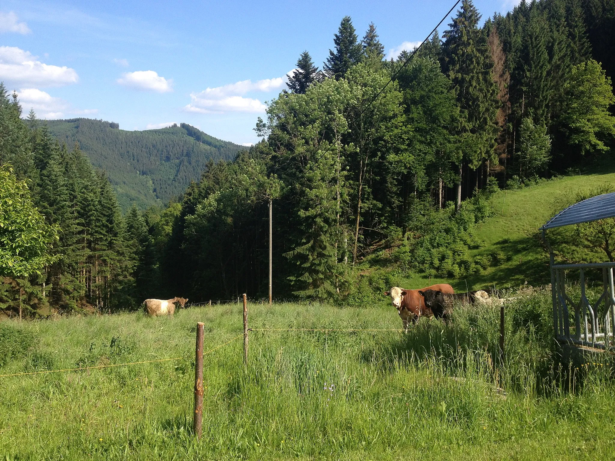
Hoher Geisberg727 mPeakClimb to the top of Hoher Geisberg and enjoy panoramic views of the Rhine Valley and surrounding mountains.
25 km
25 km
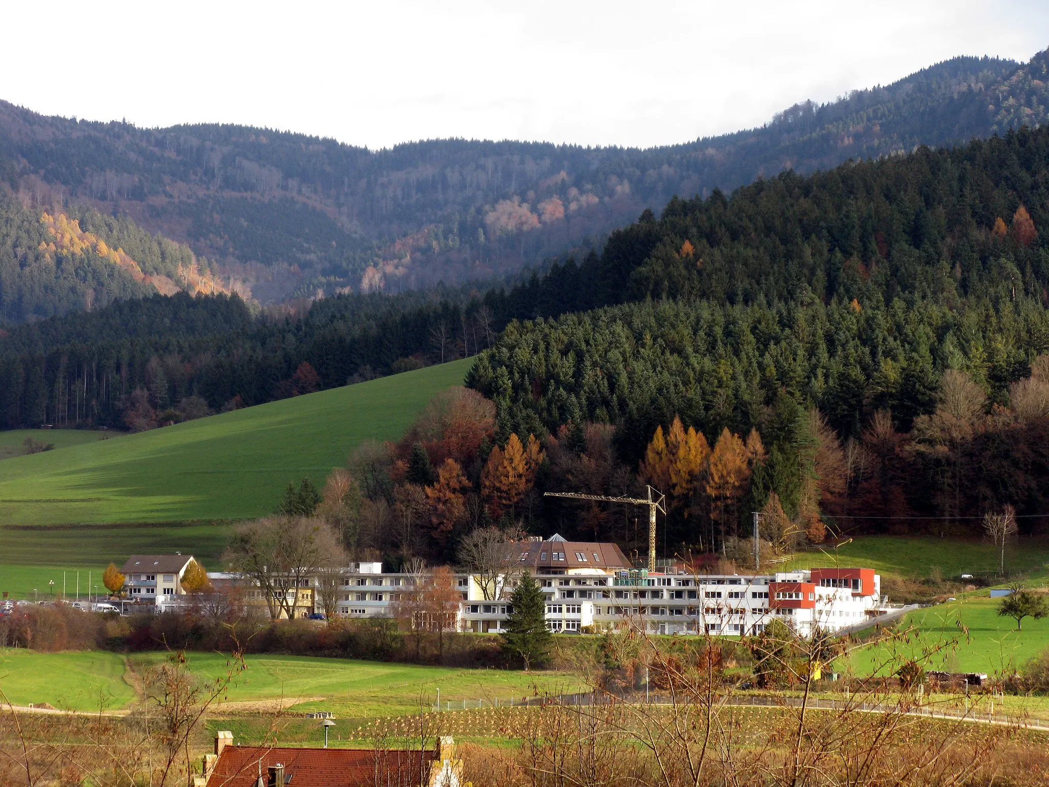
Heubachbühl474 mPeakMake a detour to Heubachbühl and experience the tranquility of this charming forested area.
40 km
40 km
KippenheimVillagePass through the quaint town of Kippenheim and soak in the traditional Black Forest architecture.
59 km
59 km
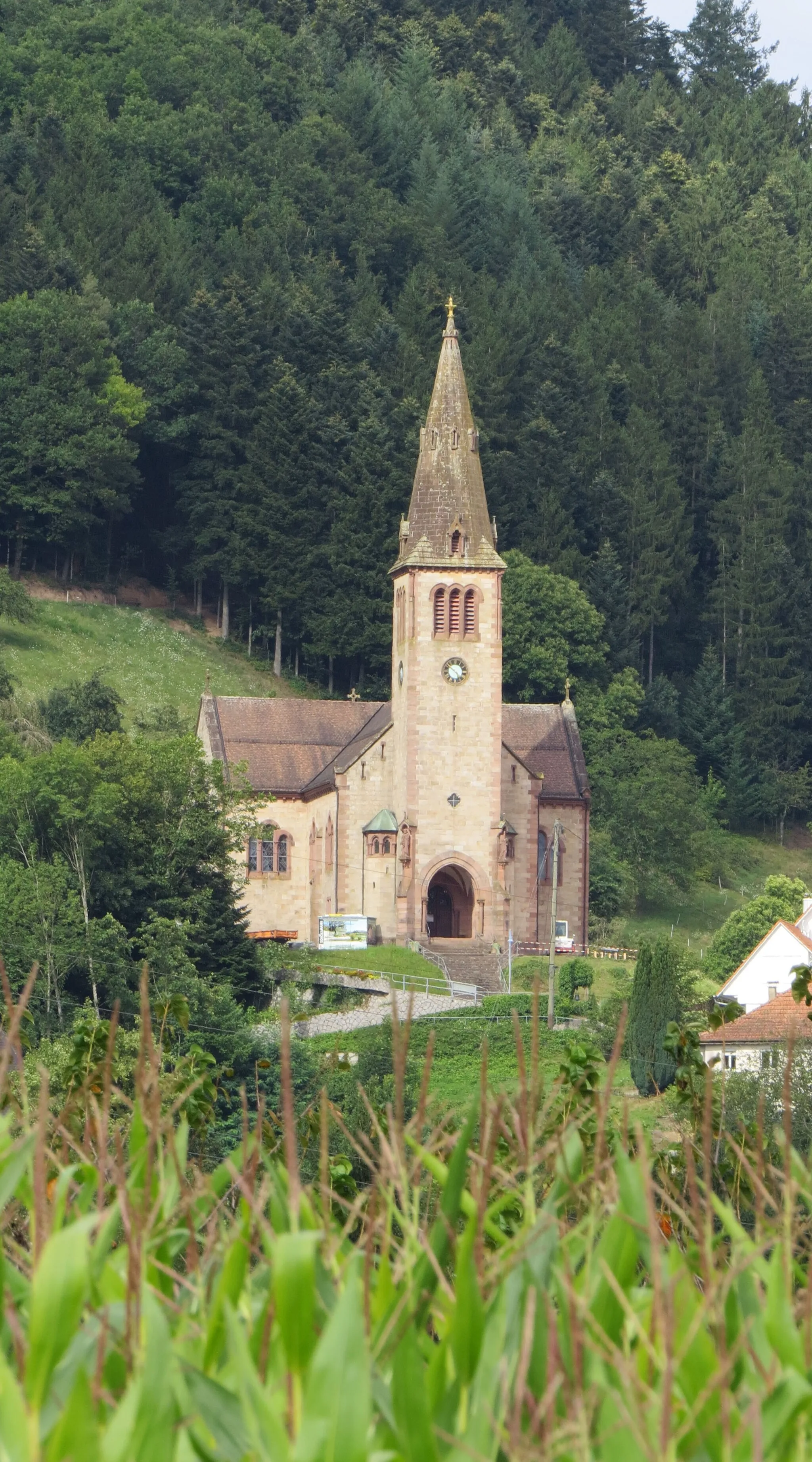
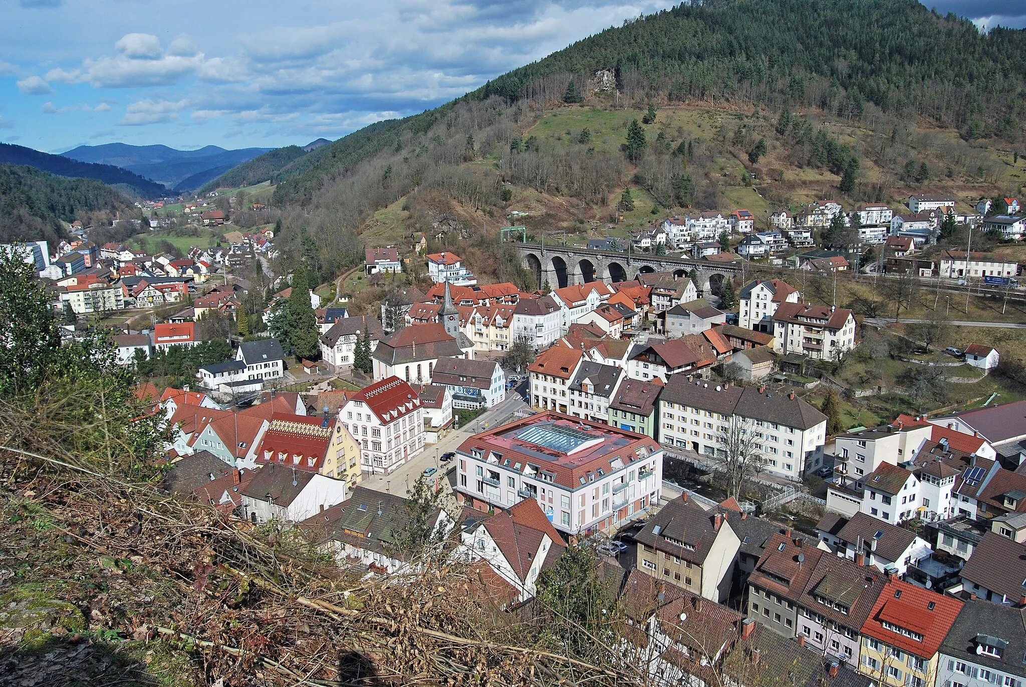
FriesenheimVillageVisit the town of Friesenheim and explore its well-preserved historic buildings and charming streets.
64 km
64 km
Altvater410 mPeakStop by the Altvater viewpoint and admire the panoramic views of the Black Forest.
71 km
71 km
Hohengeroldseck524 mCastleDiscover the ruins of Hohengeroldseck castle and immerse yourself in the medieval history of the region.
83 km
83 km
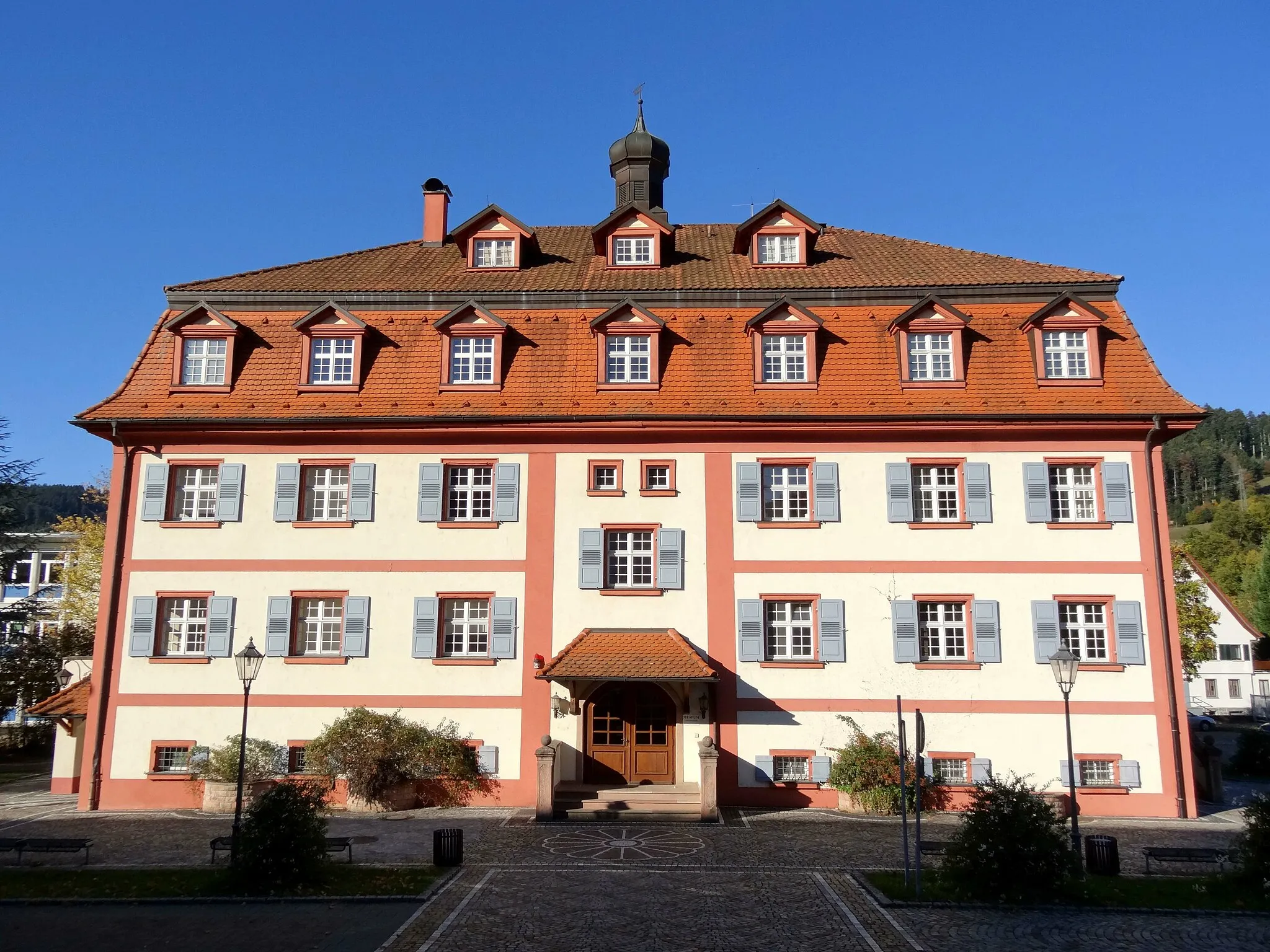
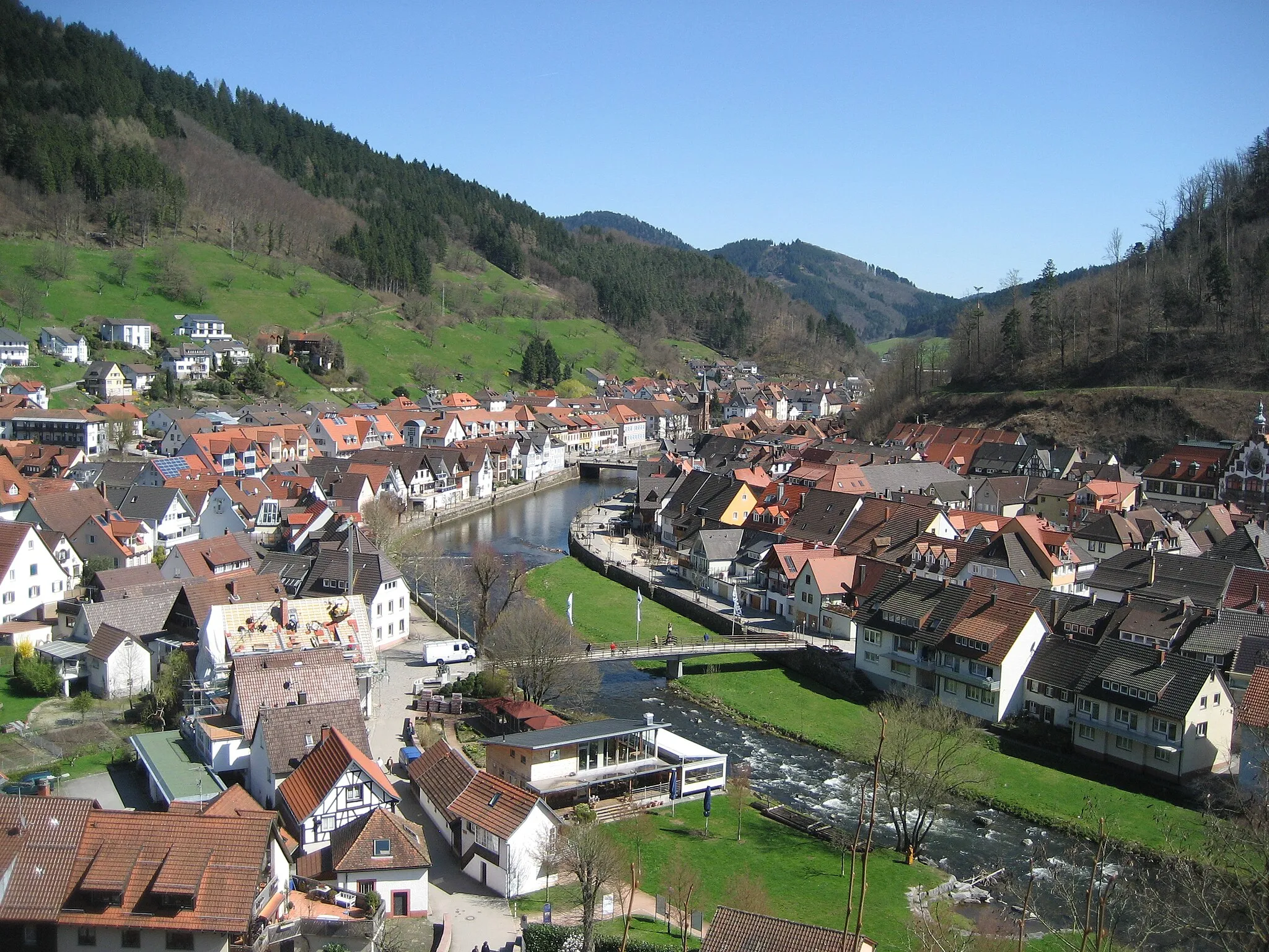
Haslach im KinzigtalTownExplore the picturesque town of Haslach im Kinzigtal and its charming old town.
87 km
87 km
Finish: Mühlenbach Village centerMühlenbach: A cyclist's paradise in the heart of the Black Forest, offering stunning scenery and iconic climbs.
Cycling routes nearby: