Immendingen Gravel Loop
A gravel cycling route starting from Villingen-Schwenningen
Discover the scenic beauty of Immendingen on this exciting gravel loop
Map
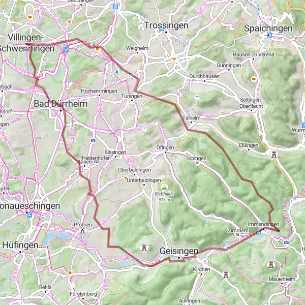
This moderate-level gravel route is perfect for exploring the picturesque landscapes around Immendingen. With a total distance of 65 km and 711 meters of ascent, the ride offers a good mix of challenging terrain and stunning views. Along the way, you'll pass through the charming town of Hohe Mark and enjoy breathtaking vistas from the Standort Wartenberg at an elevation of 821 meters.
gravel
65 km
711 m
Tough
Route profile
Highlights on the route
0 km
0 km
Start: Villingen-Schwenningen City centerVillingen-Schwenningen: Cycling paradise in Freiburg region
Villingen-Schwenningen is a town in Germany situated in the region of Freiburg. It offers great cycling opportunities for road and gravel cyclists. The roads are well-maintained and there are plenty of scenic routes to explore. A notable cycling spot nearby is the Black Forest, which features challenging climbs and beautiful landscapes. Overall, Villingen-Schwenningen is a fantastic destination for cyclists of all levels.0 km
0 km
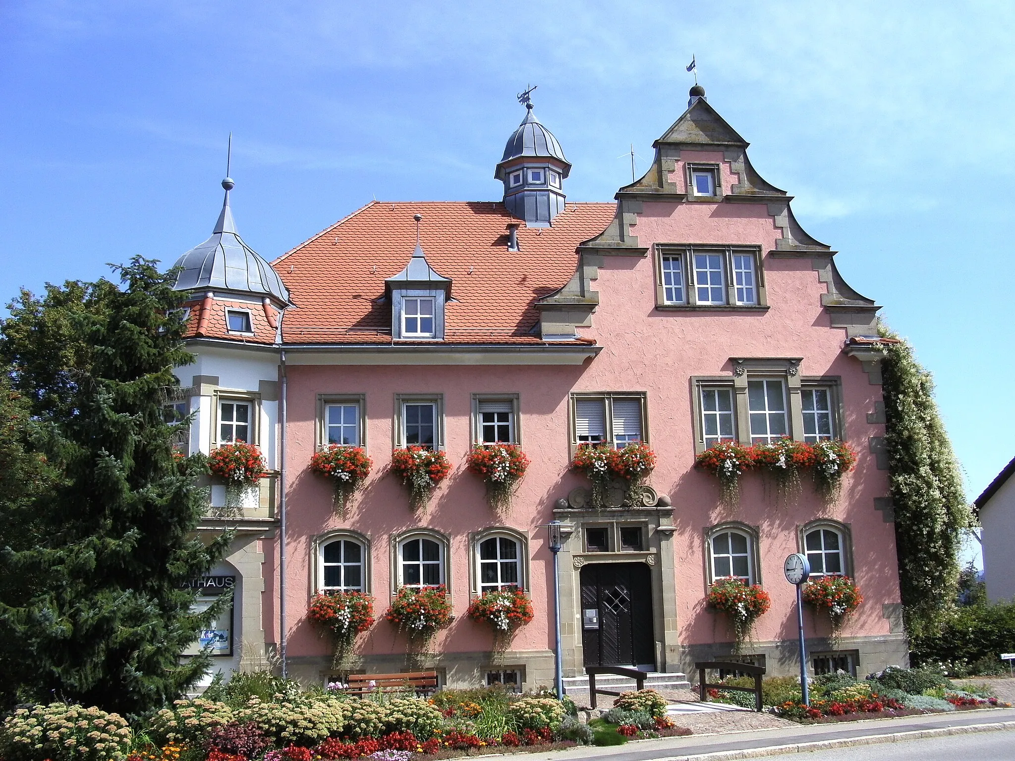
Villingen-SchwenningenTownVillingen-Schwenningen is the starting point of this significant gravel loop.
0 km
0 km
Hohe Mark773 mPeakHohe Mark is a quaint town that you'll encounter on the route, adding charm to the ride.
11 km
11 km
TuningenVillageTuningen is a beautiful village worth stopping at for a quick break.
16 km
16 km
Himmelberg941 mShelterHimmelberg offers a peaceful and serene spot with stunning panoramic views.
30 km
30 km
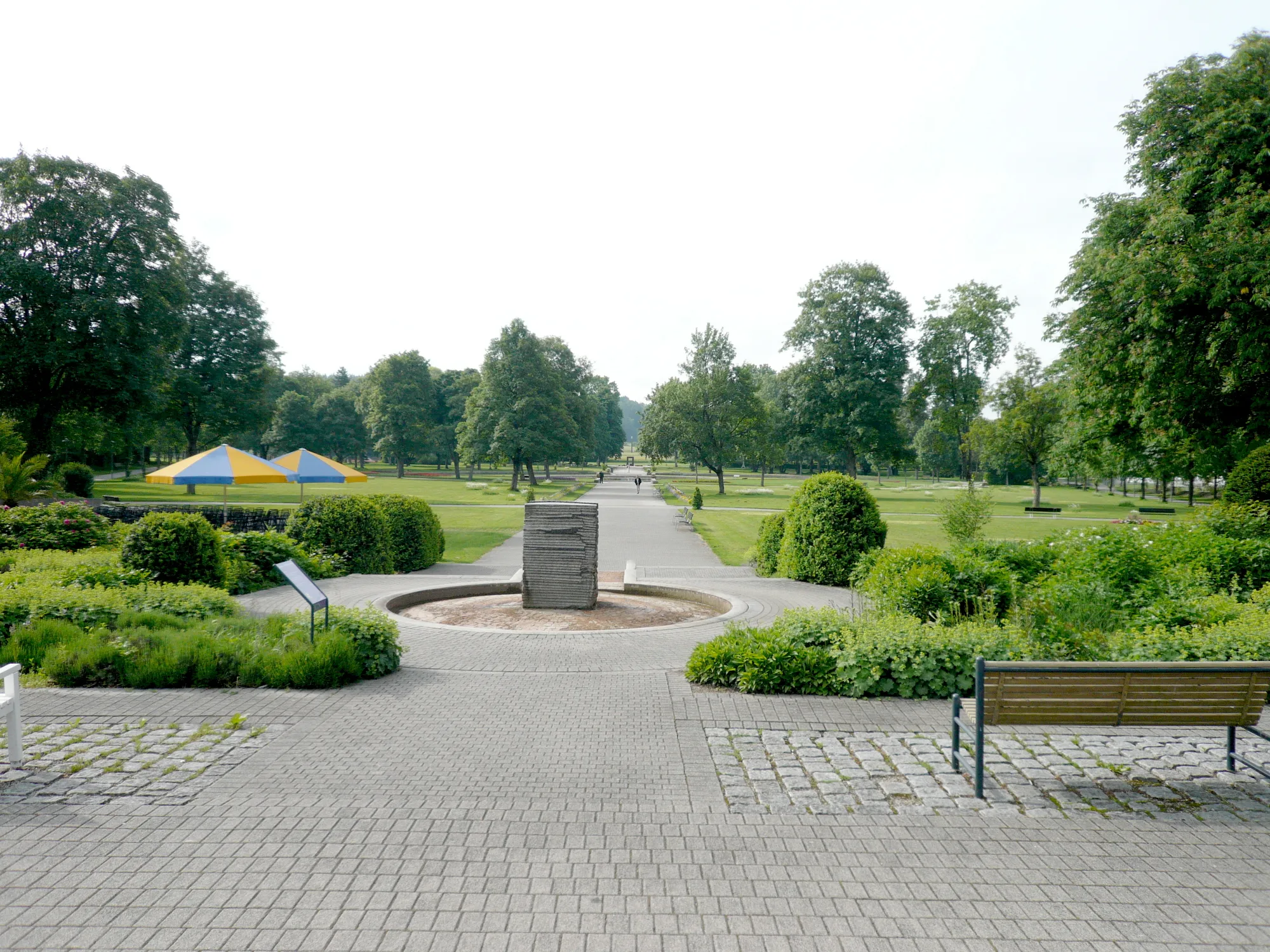
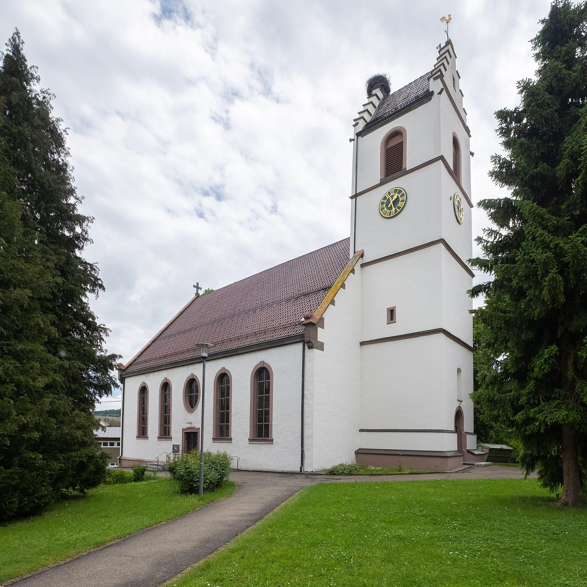
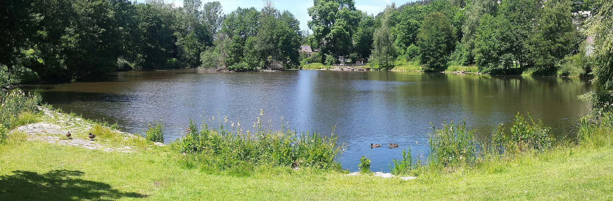
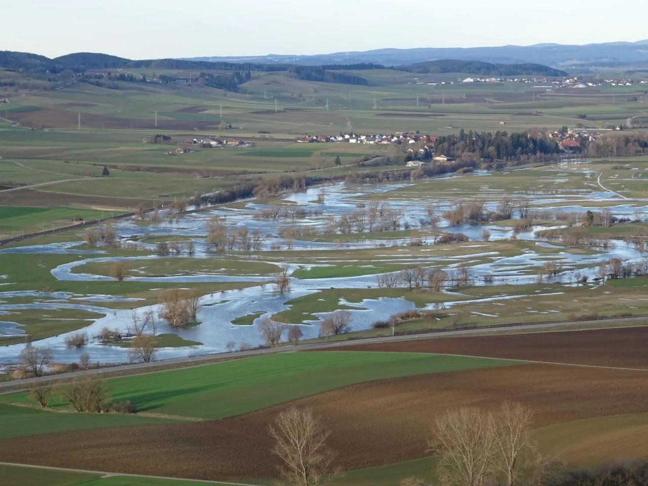
ImmendingenVillageImmendingen is not only a checkpoint but also a highlight for its captivating landscapes.
37 km
37 km
GeisingenTownGeisingen is a lovely town surrounded by greenery, making it a great place to stop and rest.
41 km
41 km
Standort Wartenberg, 821 mViewpointStandort Wartenberg is a must-visit spot on this route, offering stunning views at an impressive elevation of 821 meters.
58 km
58 km
Bad DürrheimTownBad Dürrheim is a charming town with plenty of cafes and shops to explore during your ride.
60 km
60 km
Elsenberg723 mPeakElsenberg is a hidden gem that provides a perfect photo opportunity with its beautiful surroundings.
65 km
65 km
Finish: Villingen-Schwenningen City centerVillingen-Schwenningen: Cycling paradise in Freiburg region
Cycling routes from Villingen-Schwenningen:
The Forest and Hill Circuit Villingen-Schwenningen to Mönchweiler Villingen-Schwenningen to Königsfeld im Schwarzwald Gravel Adventure Ultimate Black Forest Challenge Immendingen Gravel Loop Villingen-Schwenningen to Ruine Warenburg Black Forest Expedition Schwarzwald Heights Villingen-Schwenningen to Hohe Mark Gravel Route: Villingen-Schwenningen Loop Gravel Route: Donaueschingen Loop
Cycling routes nearby: