Betziesdorf Circuit
A gravel cycling route starting from Rauschenberg
Enjoy a peaceful ride through Betziesdorf's idyllic landscape.
Map
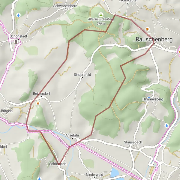
The Betziesdorf Circuit is a delightful gravel cycling route starting near Rauschenberg, Gießen, Germany. With a distance of 20 km and an elevation gain of 312 m, this route offers a short yet picturesque adventure. Starting from Rauschenberg, the route takes you through Betziesdorf and its surrounding countryside. The path meanders through tranquil forests, quaint villages, and peaceful meadows. The Betziesdorf Circuit is perfect for those looking for a leisurely ride amidst nature.
gravel
20 km
312 m
Chill
Route profile
Highlights on the route
0 km
0 km
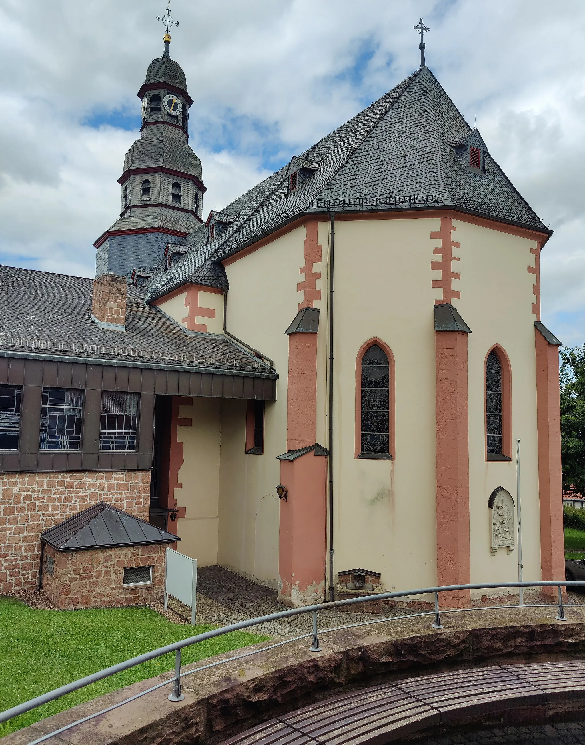
Start: Rauschenberg City centerRauschenberg: Escape to the serene landscapes of Rauschenberg
Rauschenberg is a locality in Gießen, Germany. From a cyclist's perspective, Rauschenberg offers a pleasant riding experience with its charming landscapes and peaceful roads. The region is characterized by gentle hills and scenic countryside, making it suitable for leisurely road cycling. Gravel cyclists will also find joy in venturing off the beaten path and exploring the network of gravel roads and trails that meander through the rural surroundings. While not home to any famous cycling spots or well-known climbs, Rauschenberg provides a tranquil and picturesque base for cyclists looking to escape the hustle and bustle of city life.12 km
12 km
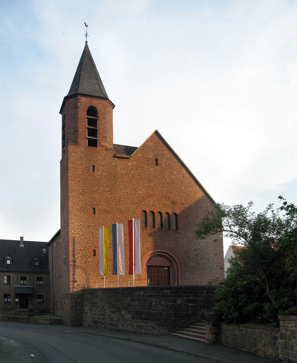
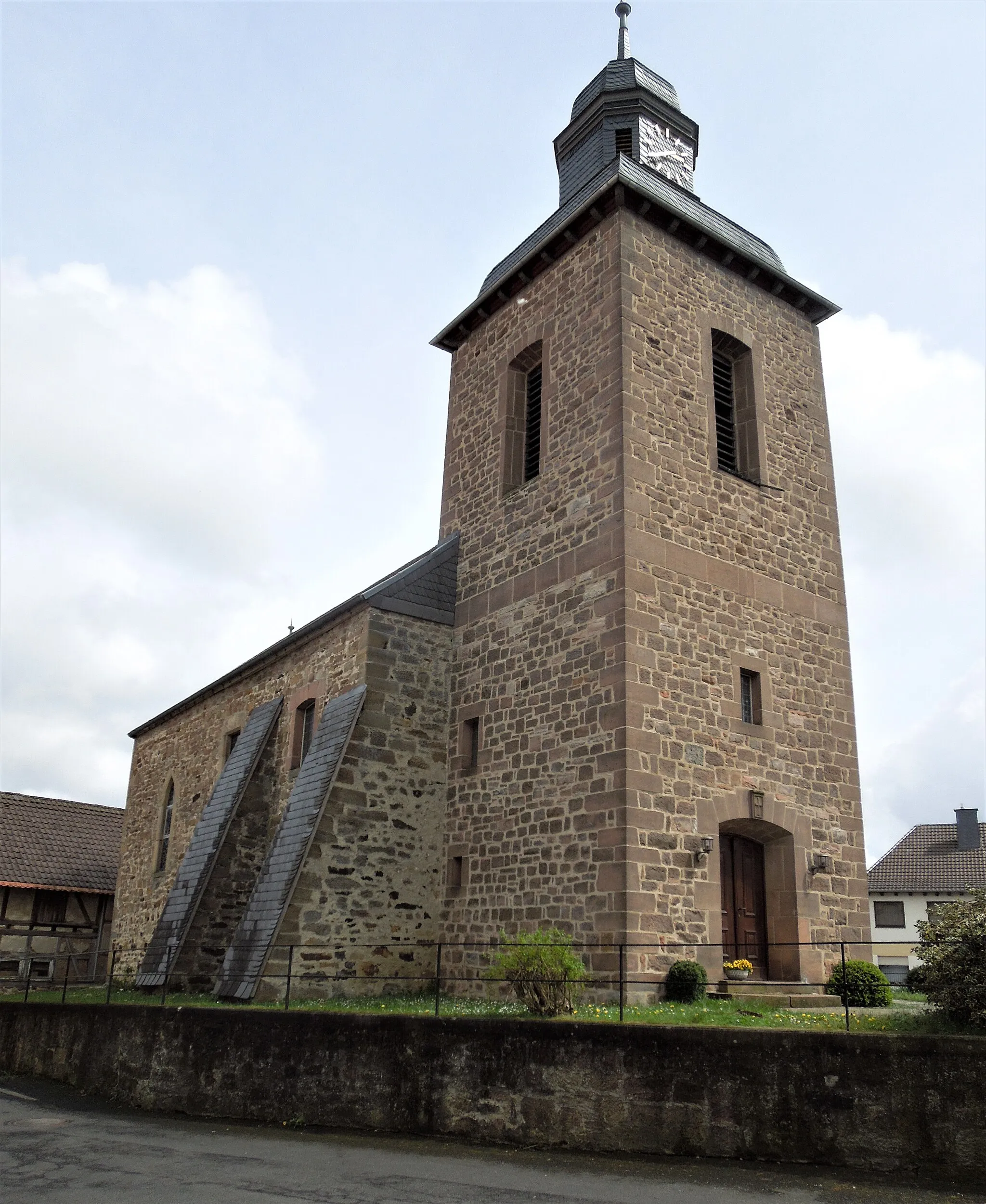
BetziesdorfVillageVisit Betziesdorf, a charming village with traditional half-timbered houses and a tranquil atmosphere.
14 km
14 km
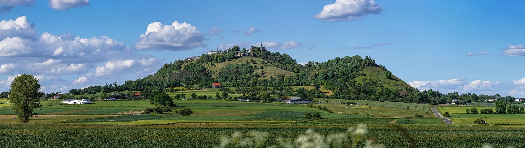
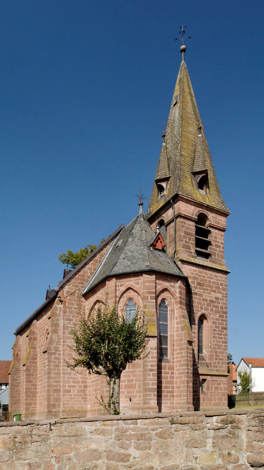
Betziesdorfer Höhe284 mPeakEnjoy the views from Betziesdorfer Höhe, a slight elevation offering a peek into the surrounding countryside.
20 km
20 km
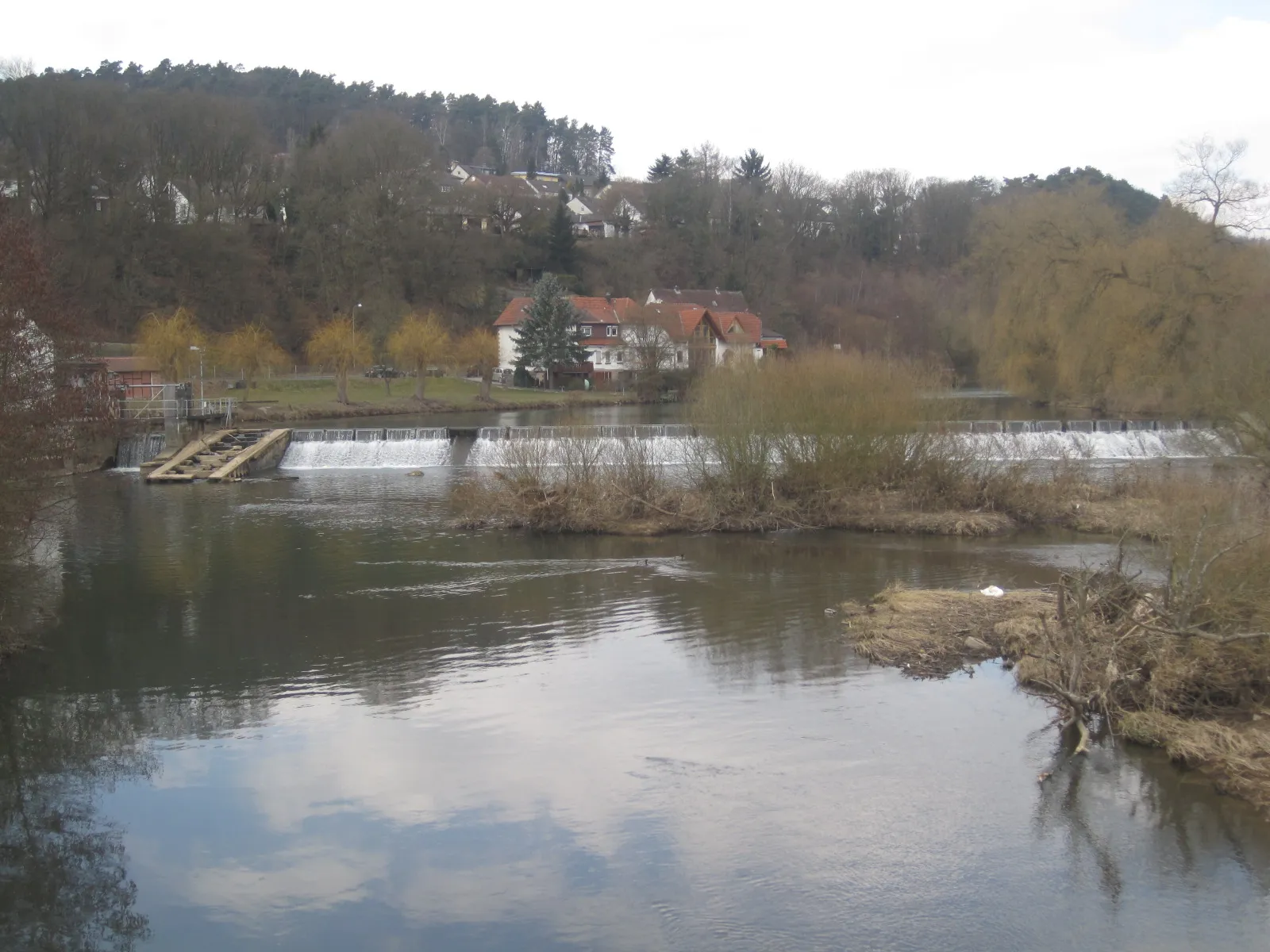
Grillhütte RauschenbergPicnic SiteDiscover the picturesque Grillhütte Rauschenberg, a perfect spot for a rest and picnic surrounded by nature.
20 km
20 km
Finish: Rauschenberg City centerRauschenberg: Escape to the serene landscapes of Rauschenberg
Cycling routes nearby: