Homberg Loop
A road cycling route starting from Rauschenberg
Challenging road route through scenic countryside with stunning viewpoints
Map
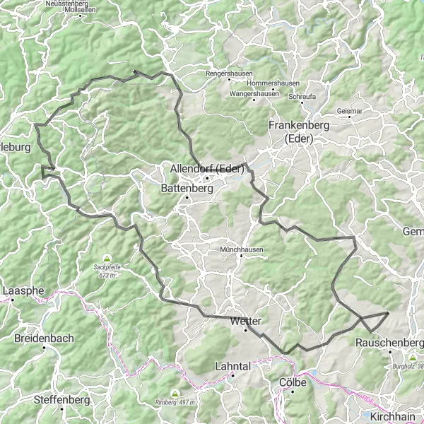
The Homberg Loop is a challenging road cycling route that takes you through the picturesque countryside of Gießen. With a total ascent of 1674 meters and a distance of 117 kilometers, this route offers a great workout for experienced cyclists. Along the way, you will pass through several highlights, including the historic Wolfskaute and the scenic Alter Rauschenberg. The highlights also include Amönau, known for its charming traditional half-timbered buildings, and Schüßler, where you can enjoy panoramic views of the surrounding landscape. Other notable highlights include Eifaer Berg, Hatzfeld, and Peterskopf. Overall, this route offers a challenging but rewarding cycling experience with stunning viewpoints and interesting sights.
road
117 km
1674 m
Tough
Route profile
Highlights on the route
0 km
0 km
Start: Wolfskaute Village centerRauschenberg: Escape to the serene landscapes of Rauschenberg
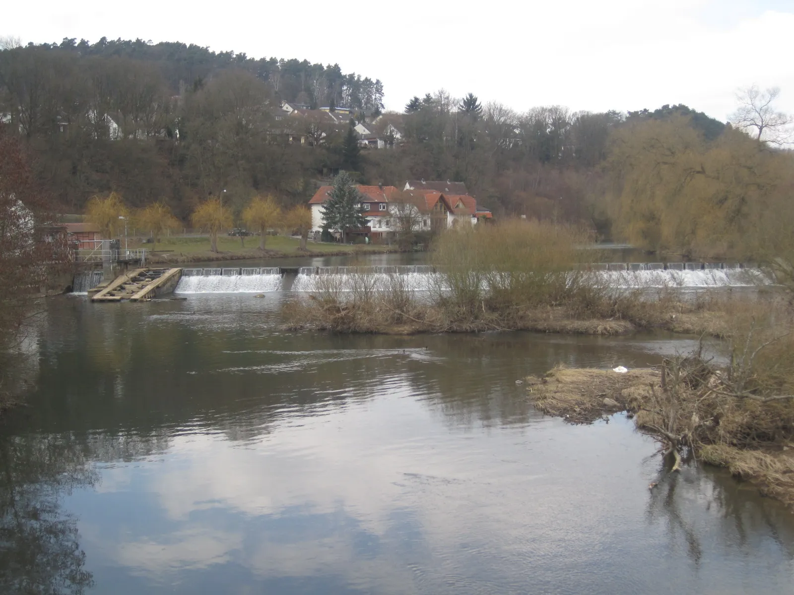
Rauschenberg is a locality in Gießen, Germany. From a cyclist's perspective, Rauschenberg offers a pleasant riding experience with its charming landscapes and peaceful roads. The region is characterized by gentle hills and scenic countryside, making it suitable for leisurely road cycling. Gravel cyclists will also find joy in venturing off the beaten path and exploring the network of gravel roads and trails that meander through the rural surroundings. While not home to any famous cycling spots or well-known climbs, Rauschenberg provides a tranquil and picturesque base for cyclists looking to escape the hustle and bustle of city life.0 km
0 km
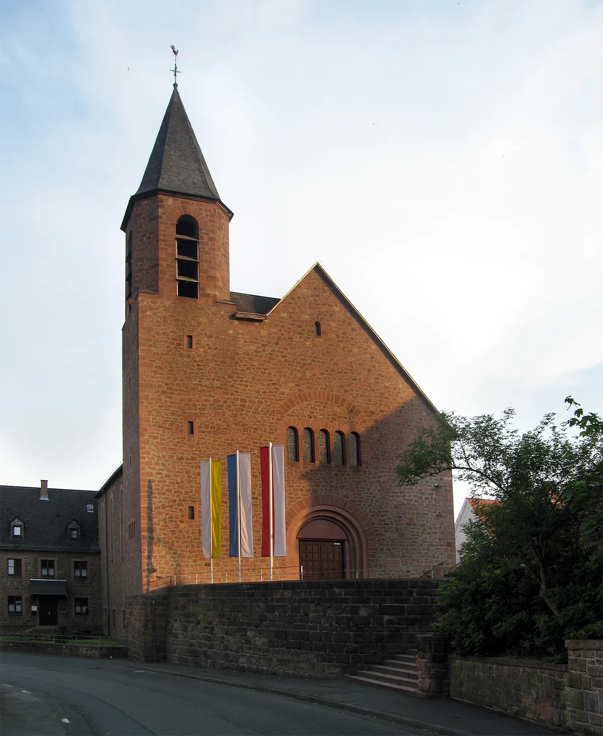
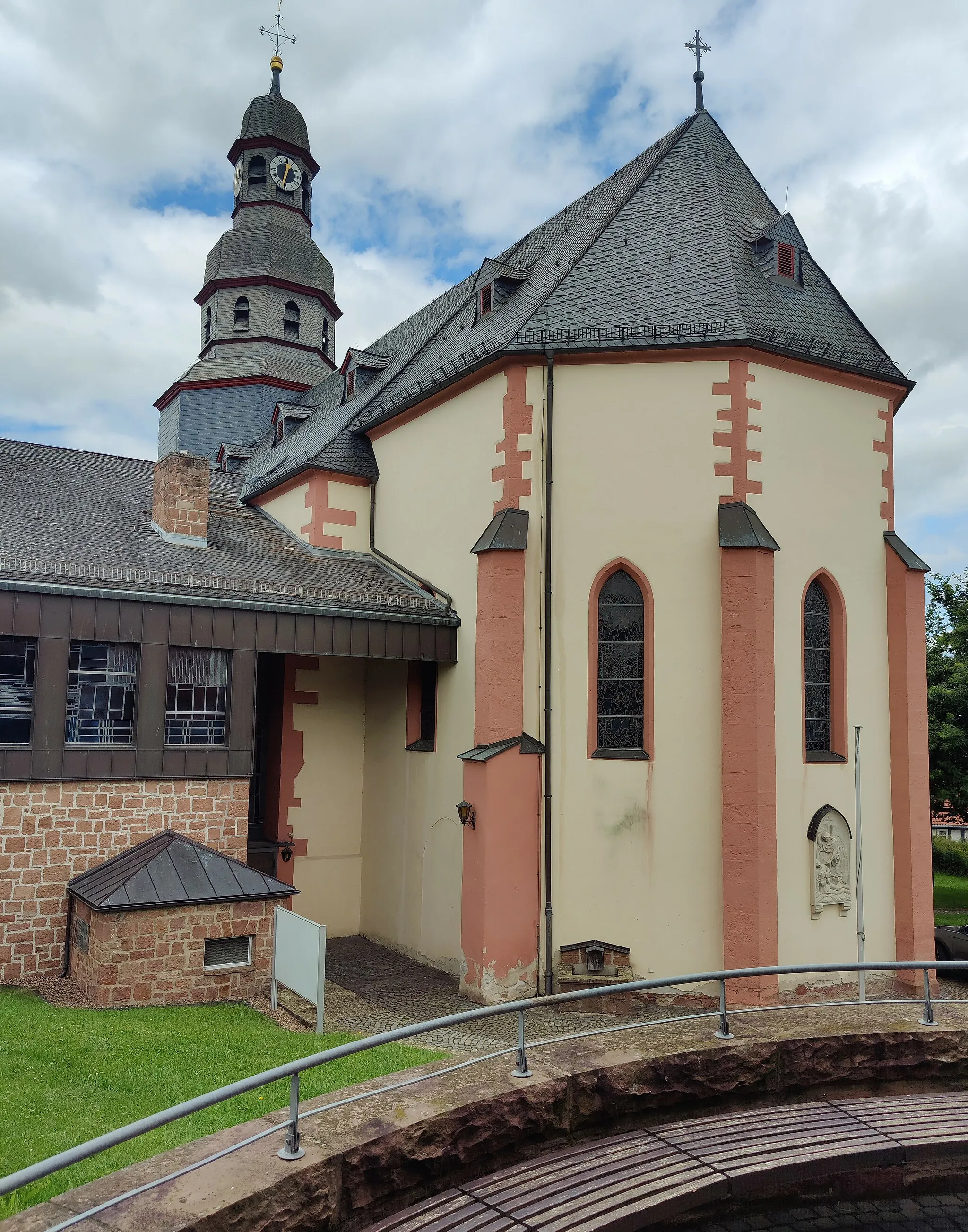
WolfskauteVillageWolfskaute is a historic site that served as a meeting place for local farmers during the 18th century. It offers a unique glimpse into the region's agricultural past.
1 km
1 km
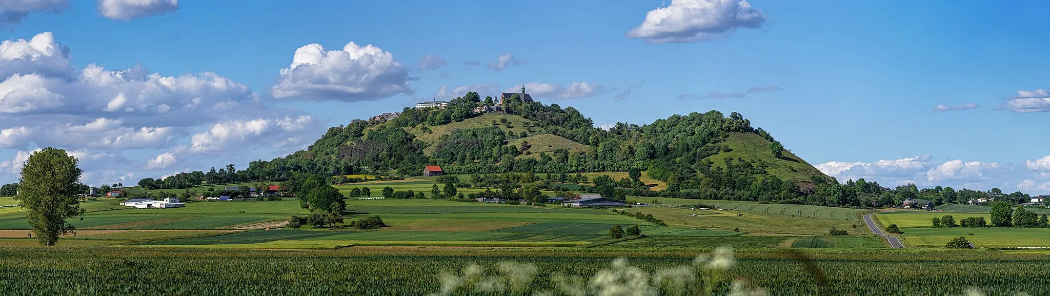
Alter Rauschenberg376 mPeakAlter Rauschenberg is a medieval castle ruin surrounded by beautiful countryside. Make sure to take a break and explore the grounds.
19 km
19 km
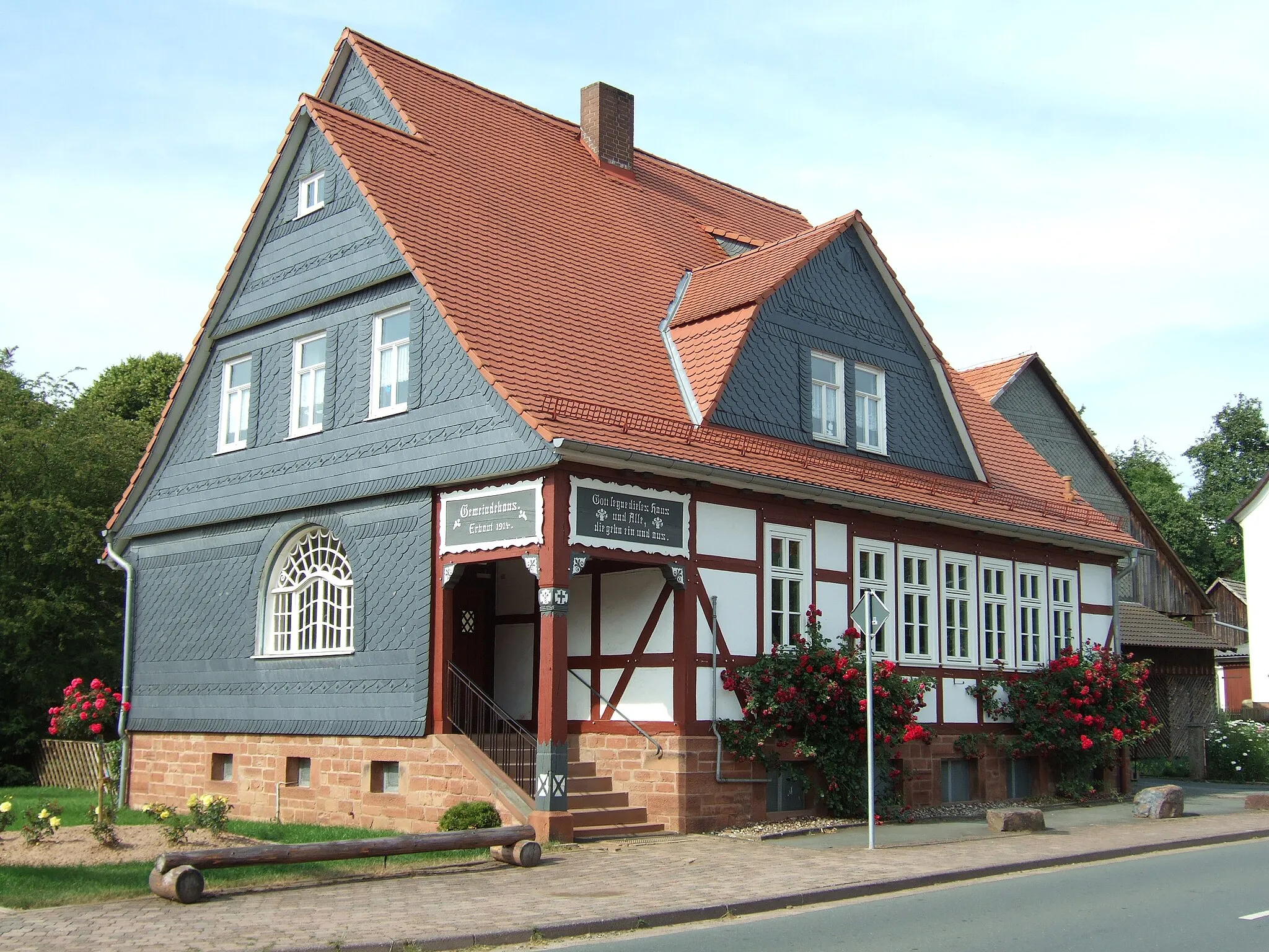
AmönauVillageAmönau is a charming village with well-preserved half-timbered buildings. Take a stroll through the quaint streets and admire the traditional architecture.
22 km
22 km
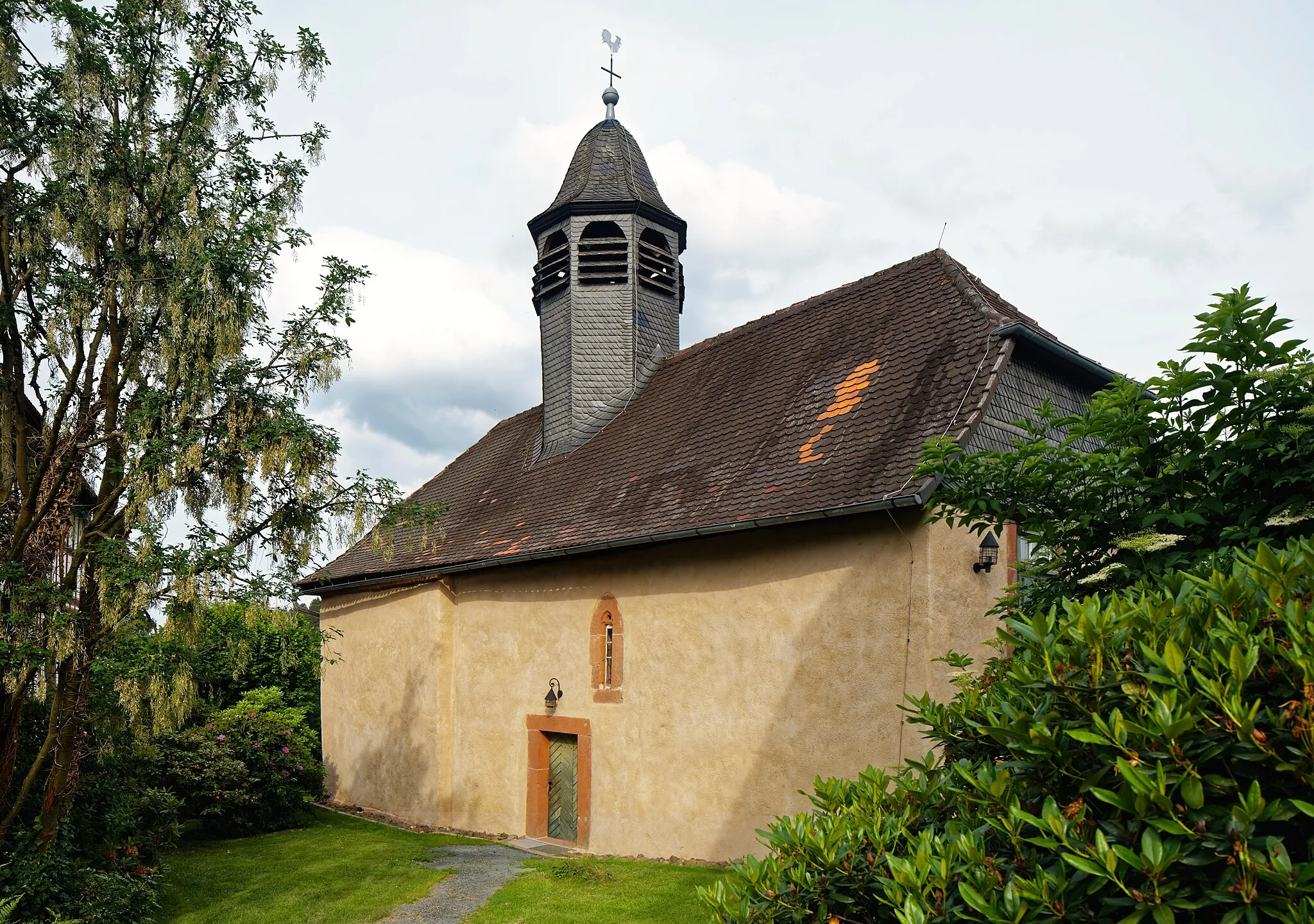
Schüßler307 mPeakSchüßler offers breathtaking panoramic views of the surrounding landscape. Take a moment to soak in the natural beauty.
33 km
33 km
Eifaer Berg511 mPeakEifaer Berg is a challenging climb that rewards you with stunning views at the top. Be prepared for a tough ascent!
37 km
37 km
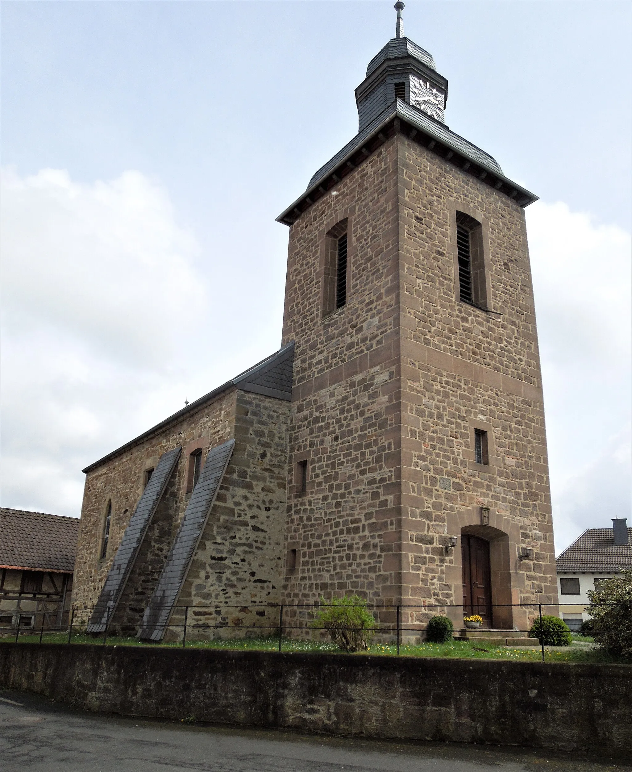
HatzfeldVillageHatzfeld is a picturesque town with a rich history. Explore the historic center and enjoy the tranquil atmosphere.
59 km
59 km
Peterskopf692 mPeakPeterskopf is a popular viewpoint with panoramic vistas of the surrounding area. Don't forget to bring your camera!
60 km
60 km
WunderthausenSub-urbWunderthausen is a small village tucked away in the countryside. Enjoy the peaceful atmosphere and take a moment to explore the local sights.
68 km
68 km
Kleiner Hoher Stein669 mPeakKleiner Hoher Stein is a unique rock formation that offers stunning views of the surrounding landscape. It's a great spot for a photo opportunity.
72 km
72 km
BromskirchenVillageBromskirchen is a charming town with a rich history. Take some time to explore the historic buildings and learn about the local culture.
80 km
80 km
Großer Homberg462 mPeakGroßer Homberg is a scenic hill with panoramic views of the surrounding countryside. Take a moment to appreciate the natural beauty.
82 km
82 km
Allendorf (Eder)TownAllendorf (Eder) is a traditional village known for its well-preserved half-timbered houses. Stroll through the streets and immerse yourself in the historic charm.
90 km
90 km
WiesenfeldVillageWiesenfeld is a small village surrounded by lush green fields. It's the perfect spot to take a break and enjoy the peaceful atmosphere.
98 km
98 km
Totenköpfe400 mPeakTotenköpfe is a rock formation that resembles skull-shaped boulders. It's a unique geological feature worth stopping by to see.
110 km
110 km
Jagdschloß BrachtCastleJagdschloß Bracht is a picturesque hunting lodge surrounded by beautiful parkland. Take a moment to explore the grounds and enjoy the serene setting.
117 km
117 km
Finish: Wolfskaute Village centerRauschenberg: Escape to the serene landscapes of Rauschenberg
Cycling routes nearby: