Rauenberg Loop
A road cycling route starting from Dielheim
Experience the charming town of Rauenberg on this intermediate road cycling route
Map
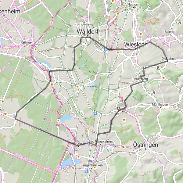
This road cycling route takes you through picturesque landscapes and charming towns, with Rauenberg being the highlight. With a total distance of 39 km and an ascent of 193m, this route is perfect for a half-day cycling adventure. The intermediate difficulty level ensures a challenging but enjoyable ride, suitable for well-trained amateurs.
road
39 km
193 m
Tough
Route profile
Highlights on the route
0 km
0 km
Start: Dielheim Village centerDielheim: Exploring the peaceful countryside of Dielheim
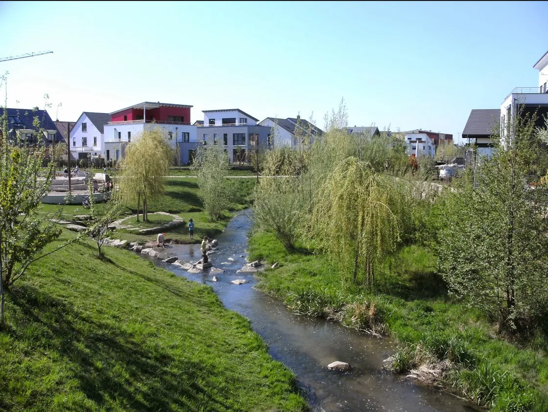
Dielheim, located in Karlsruhe, Germany, is a peaceful locality ideal for road and gravel cycling. The area boasts beautiful countryside views and well-maintained roads and trails suitable for all levels of cyclists. Cyclists can enjoy long stretches of quiet country roads and explore the surrounding hills and vineyards. With a mix of flat and hilly terrain, Dielheim offers a variety of routes to cater to different preferences. One of the highlights for cyclists in the area is the famous climb up to Strada del Sole, known for its challenging yet rewarding ascent.3 km
3 km
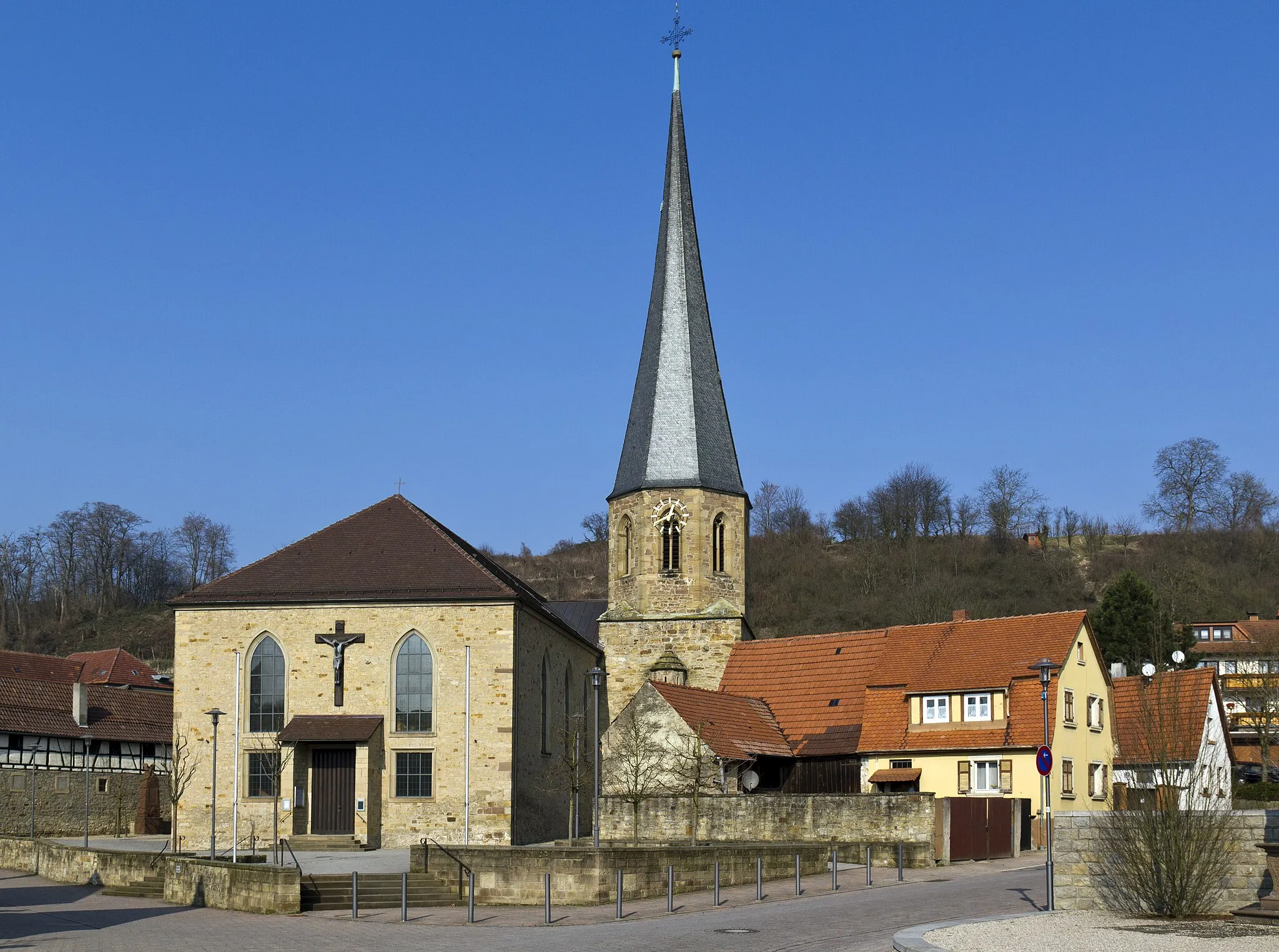
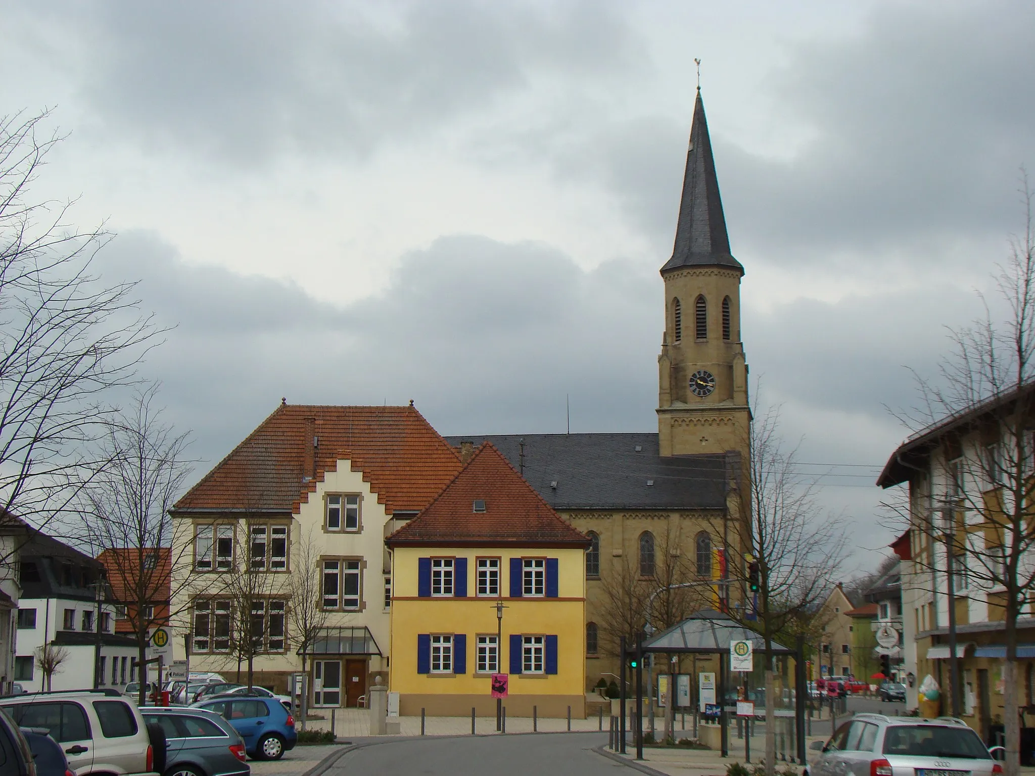
RauenbergVillageExplore the historical town of Rauenberg and soak in the beautiful architecture and heritage sites.
6 km
6 km
Letzenberg247 mPeakClimb the Letzenberg for a stunning panoramic view of the surrounding countryside.
13 km
13 km
KronauVillageVisit the town of Kronau and enjoy its charming streets and traditional German architecture.
30 km
30 km
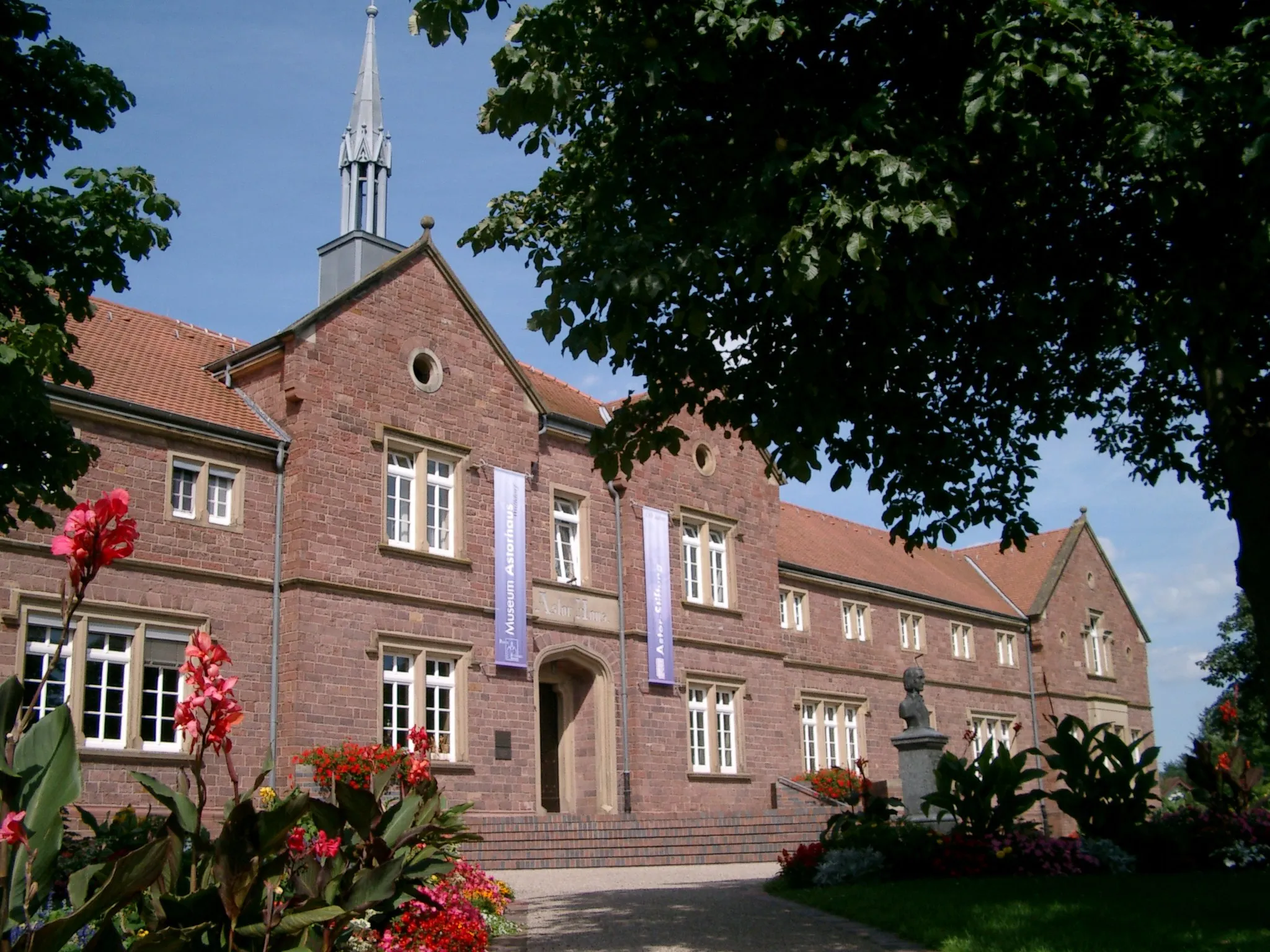
WalldorfTownDiscover the vibrant town of Walldorf and its rich history, including its connection to the automobile industry.
36 km
36 km
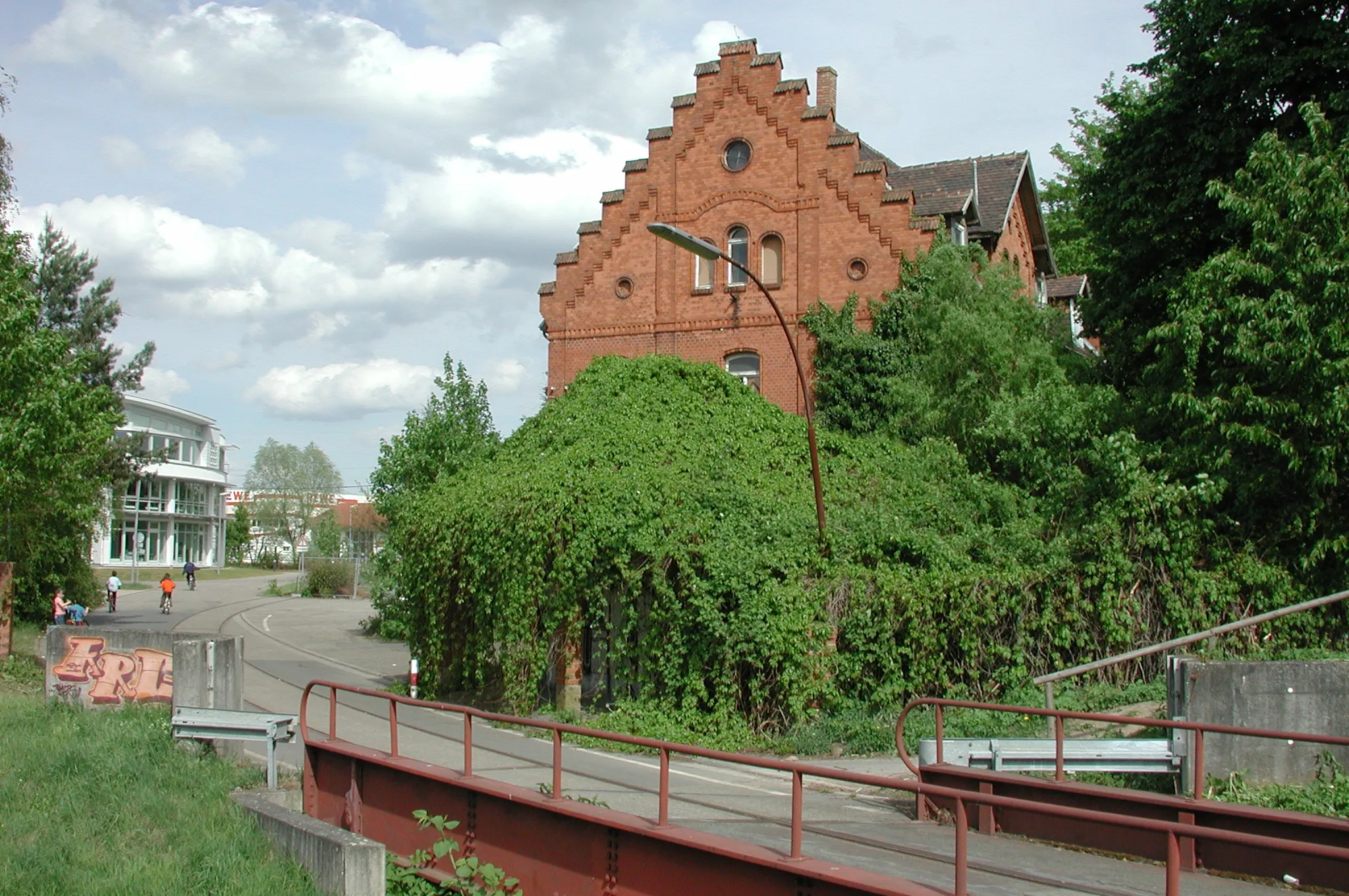
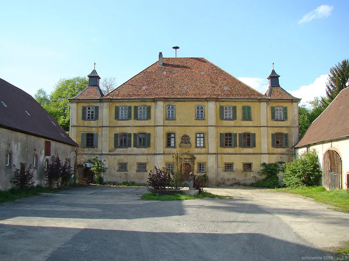
Ehemalige Wasserburg (Altwiesloch)CastleMarvel at the Ehemalige Wasserburg (Altwiesloch), a former water castle, and take in its unique architectural features.
37 km
37 km
Schafbuckel180 mPeakClimb the Schafbuckel for a challenging ascent and be rewarded with breathtaking views from the top.
39 km
39 km
Finish: Dielheim Village centerDielheim: Exploring the peaceful countryside of Dielheim
Cycling routes nearby: