Dielheim Circuit
A road cycling route starting from Dielheim
A scenic road circuit with historical highlights
Map
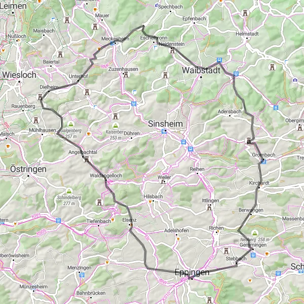
The Dielheim Circuit is a picturesque road cycling route that takes you through the beautiful landscapes of the Karlsruhe region. With a total distance of 75 kilometers and an ascent of 815 meters, it offers a combination of challenging climbs and fast descents. The route starts in Dielheim and takes you through small villages and charming countryside.
road
75 km
815 m
Tough
Route profile
Highlights on the route
0 km
0 km
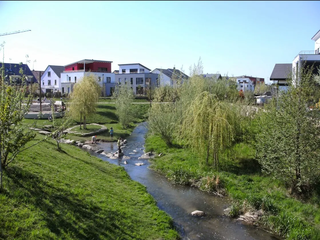
Start: Dielheim Village centerDielheim: Exploring the peaceful countryside of Dielheim
Dielheim, located in Karlsruhe, Germany, is a peaceful locality ideal for road and gravel cycling. The area boasts beautiful countryside views and well-maintained roads and trails suitable for all levels of cyclists. Cyclists can enjoy long stretches of quiet country roads and explore the surrounding hills and vineyards. With a mix of flat and hilly terrain, Dielheim offers a variety of routes to cater to different preferences. One of the highlights for cyclists in the area is the famous climb up to Strada del Sole, known for its challenging yet rewarding ascent.0 km
0 km
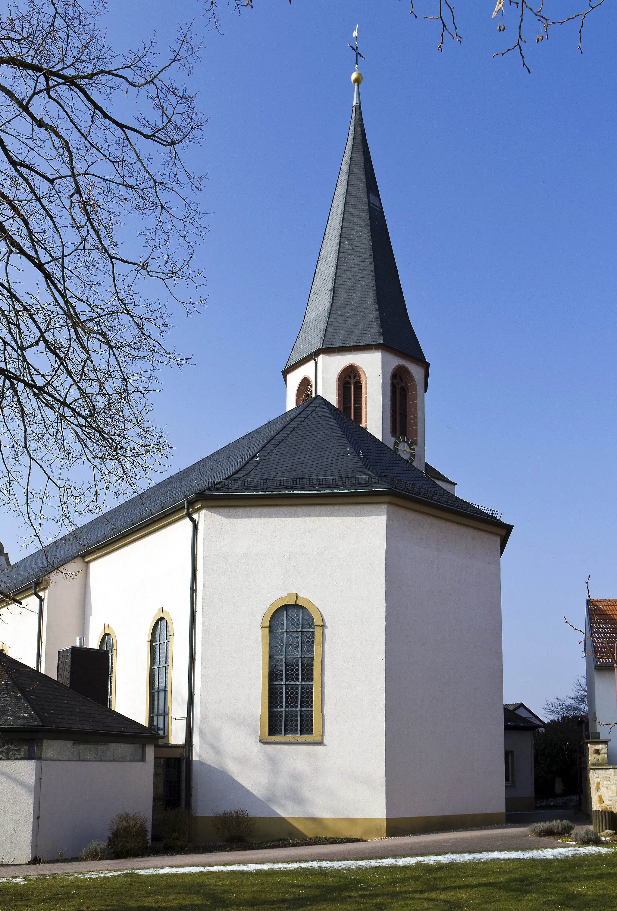
DielheimVillageLocated in the heart of the route, the town of Dielheim is known for its charming old buildings and historical sites.
9 km
9 km
Blösenberg210 mPeakBlösenberg, located at 9 kilometers, offers stunning views of the surrounding landscape.
18 km
18 km
Kühnberg231 mPeakKühnberg, situated at the 18-kilometer mark, provides a challenging ascent with rewarding views at the top.
19 km
19 km
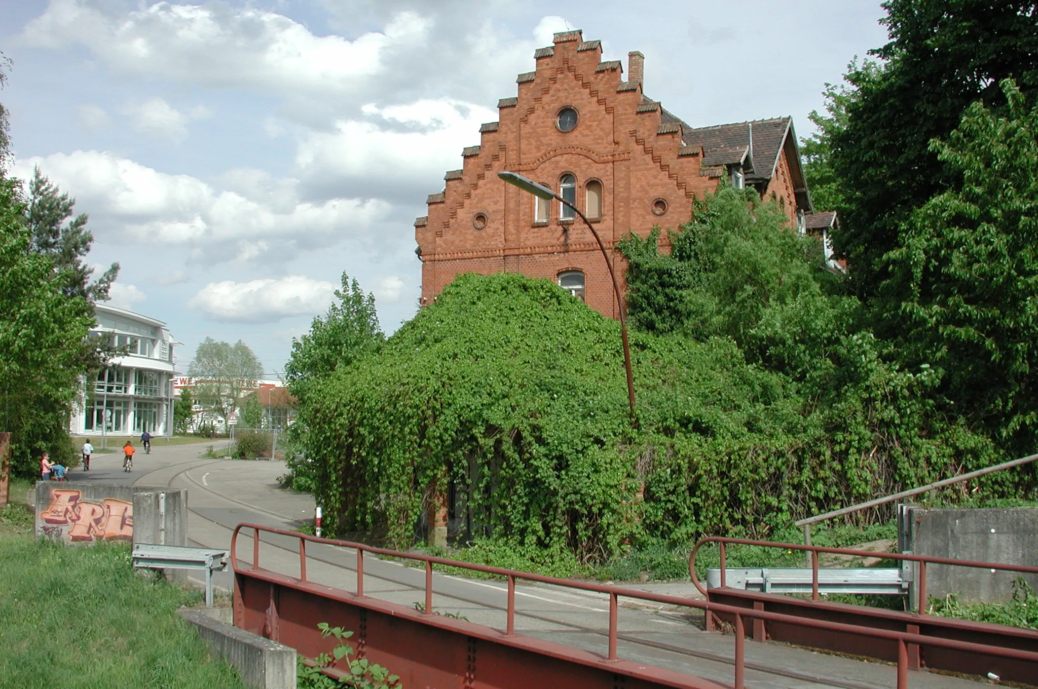
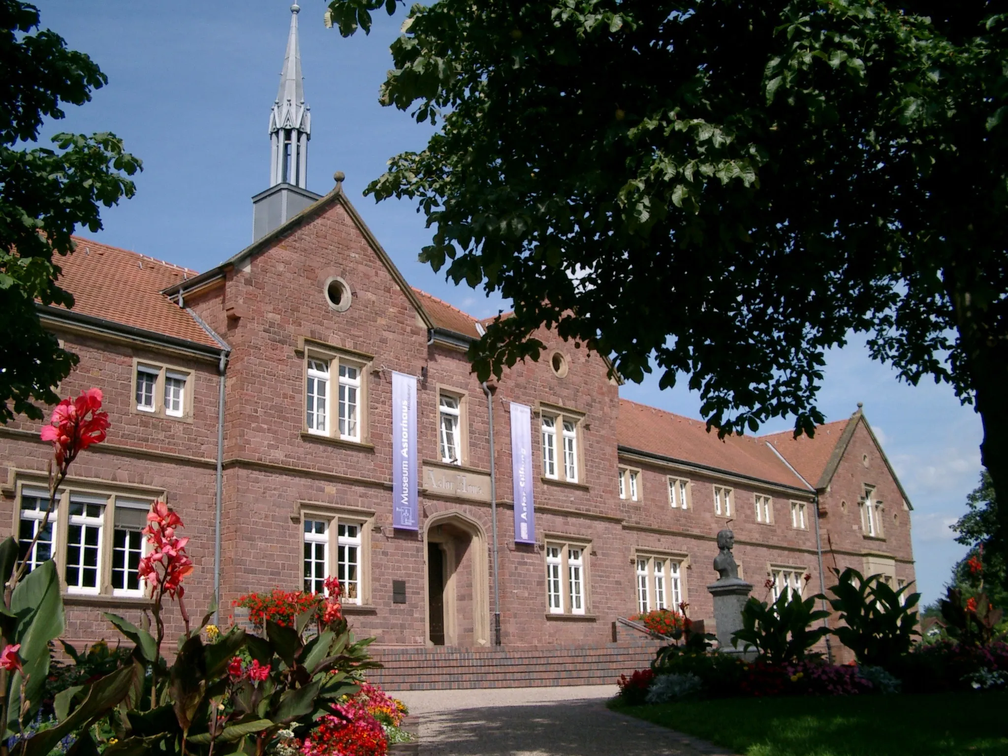
WaibstadtTownWaibstadt, at 19 kilometers, is a historic village with beautiful architecture and quaint streets.
30 km
30 km
Hühnerberg290 mPeak35 km
35 km
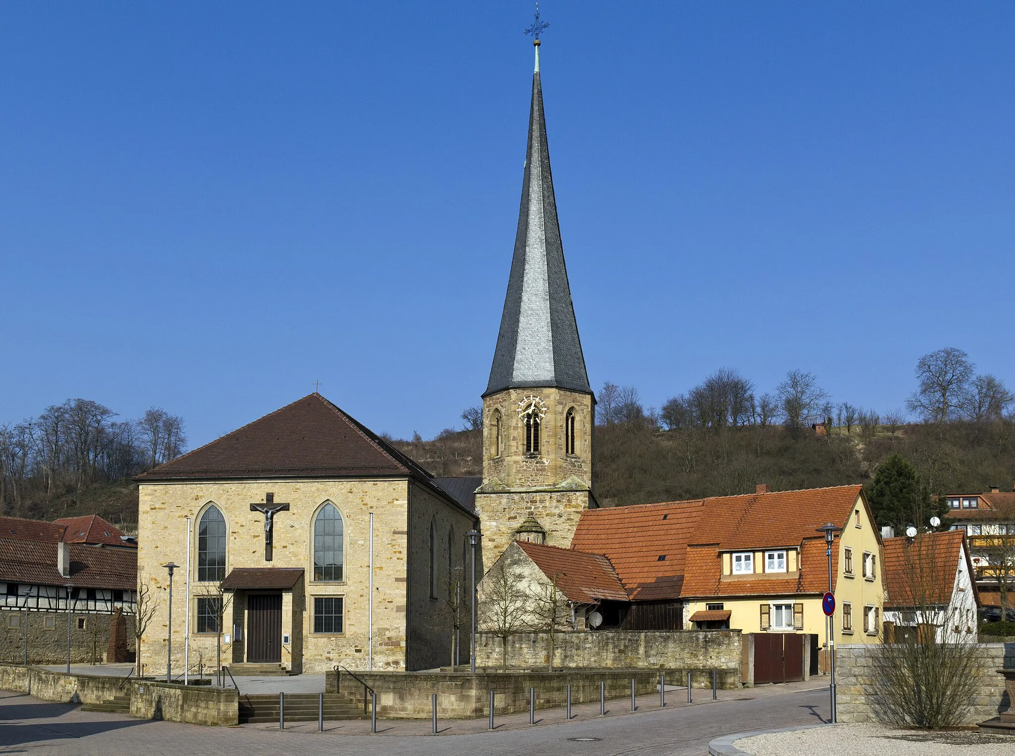
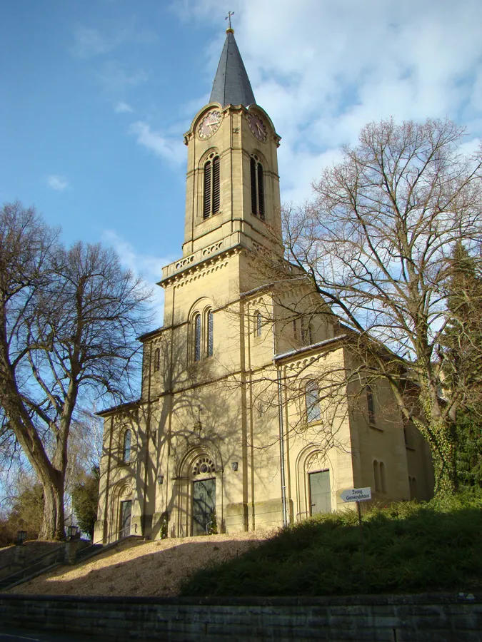
KirchardtVillageKirchardt, located at 35 kilometers, is home to the beautiful St. Bartholomew's Church and offers a peaceful setting for a rest stop.
48 km
48 km
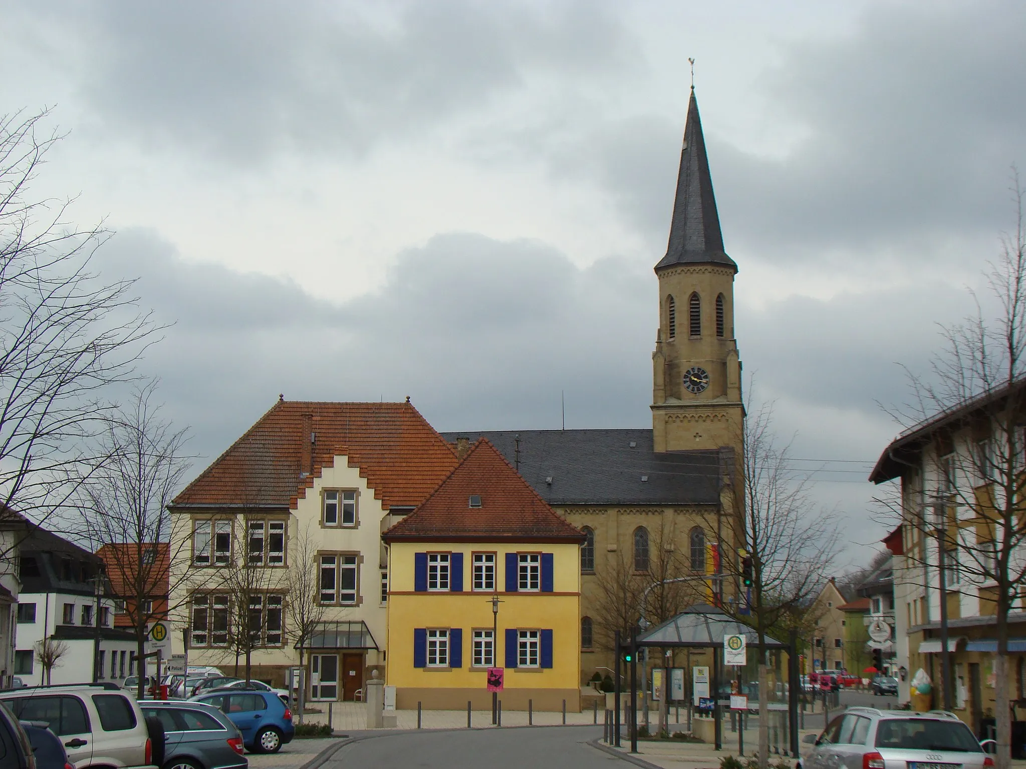
EppingenTownEppingen, at the 48-kilometer mark, is a vibrant town with a rich history. Explore the medieval old town and enjoy a refreshing drink at one of the local cafes.
66 km
66 km
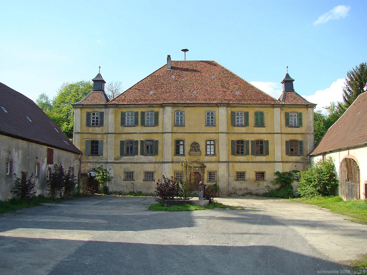
AngelbachtalVillageAngelbachtal, situated at 66 kilometers, is known for its picturesque castle, Schloss Eichtersheim. Take a moment to admire its beauty and soak in the history.
74 km
74 km
Burg DielheimCastleBurg Dielheim, at 74 kilometers, is a highlight not to be missed. This medieval castle offers visitors a glimpse into the past and provides a perfect backdrop for a break.
75 km
75 km
Finish: Dielheim Village centerDielheim: Exploring the peaceful countryside of Dielheim
Cycling routes nearby: