Wissembourg Adventure
A road cycling route starting from Steinmauern
Experience the beauty of Wissembourg and Annweiler am Trifels
Map

This road route takes you on an adventurous journey through the charming villages of Wissembourg and Annweiler am Trifels. With a total ascent of 1151m over a distance of 162km, this route offers a challenging and scenic ride. Explore the rich history and culture of the region as you cycle through these picturesque villages.
road
162 km
1151 m
Savage
Route profile
Highlights on the route
0 km
0 km
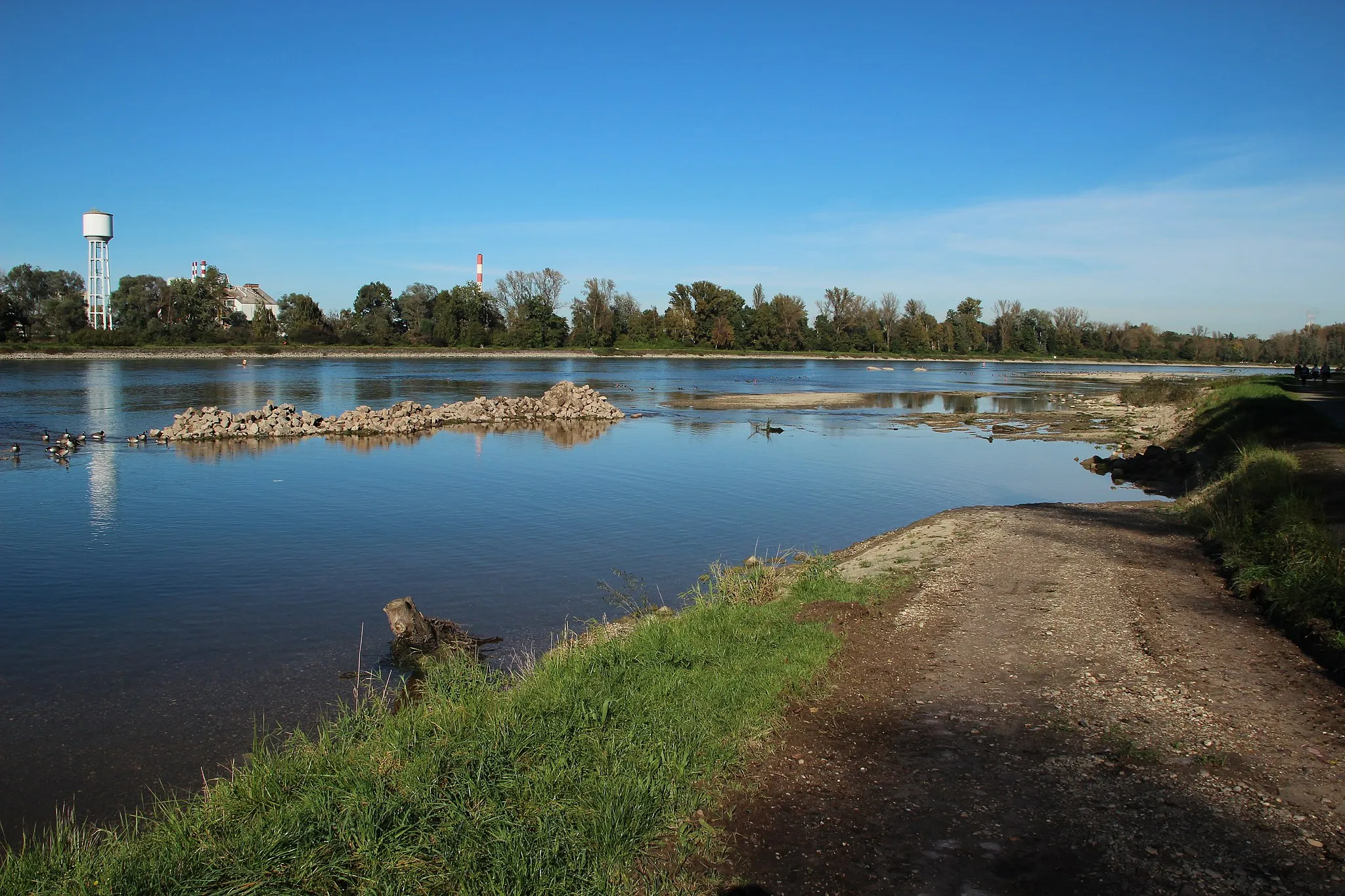
Start: Steinmauern Village centerSteinmauern: Explore the scenic countryside while enjoying a cyclist-friendly environment in Steinmauern.
Steinmauern is a small town located in Karlsruhe, Germany. From a cyclist's perspective, this locality offers beautiful landscapes with rolling hills and well-maintained roads, making it a great area for road cycling. The region is known for its cycling-friendly infrastructure, including dedicated bike lanes and paths. Cyclists can enjoy exploring the surrounding countryside and visiting nearby villages. Although Steinmauern does not have any famous cycling-related spots or well-known climbs, its picturesque scenery and cyclist-friendly environment make it a recommended destination for road cyclists.14 km
14 km
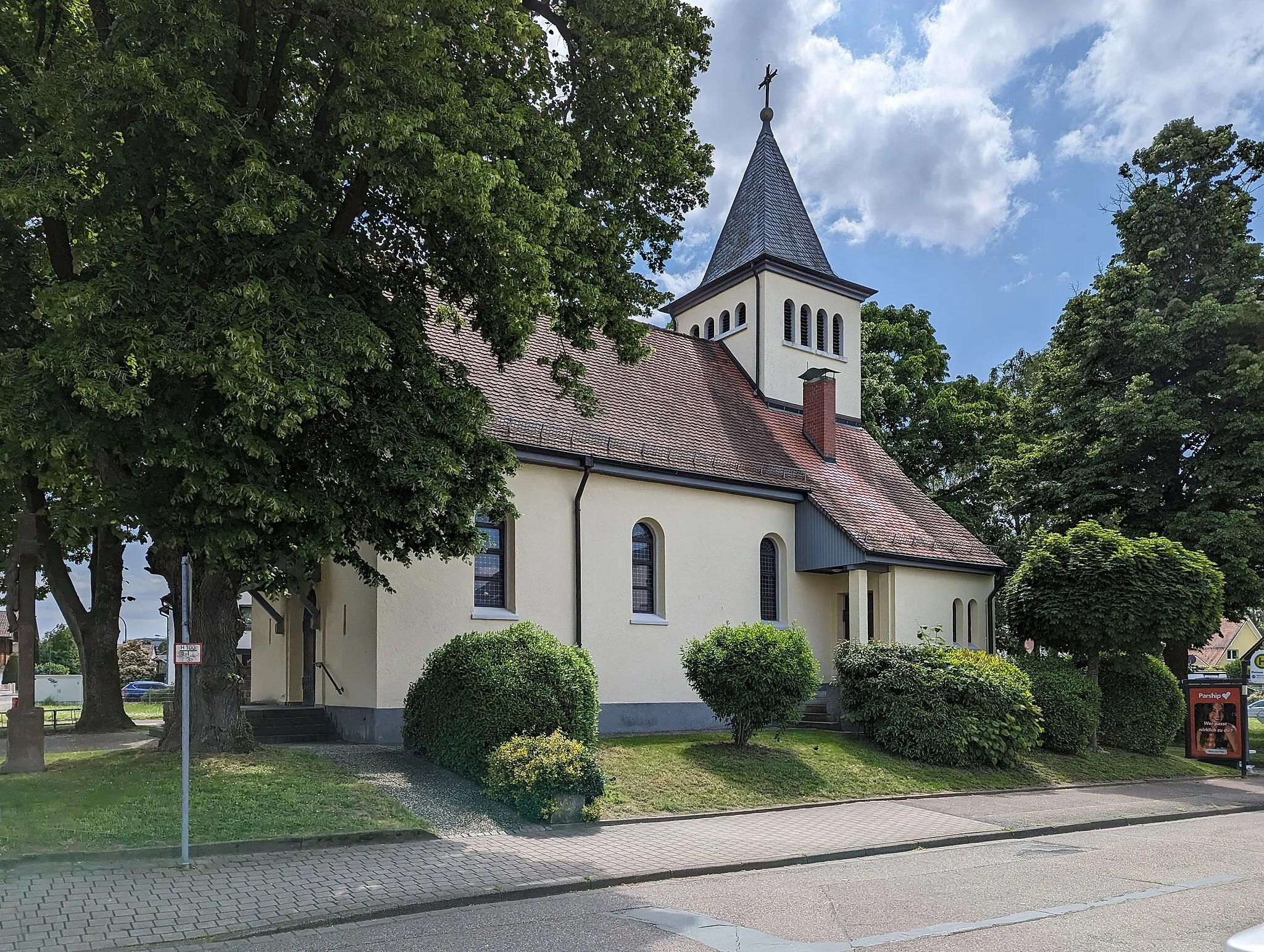
BeinheimVillageBeinheim is a small village known for its well-preserved medieval fortress. Take a break and explore the fortress, or enjoy a scenic walk along the nearby nature trails.
33 km
33 km
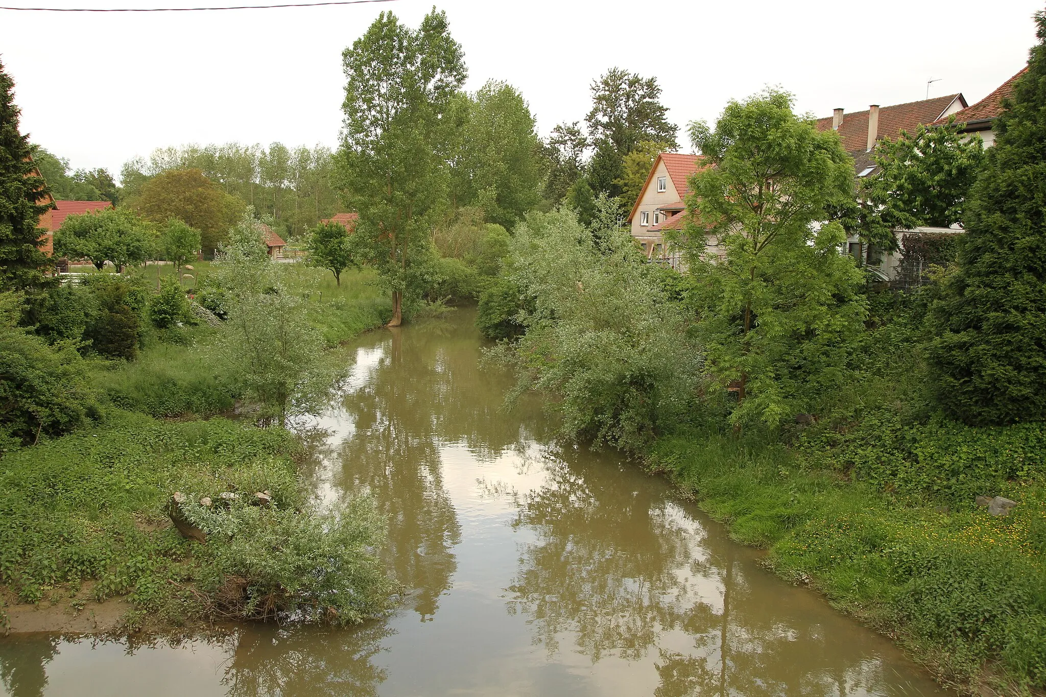
HunspachVillageHunspach is a charming village known for its traditional Alsatian architecture. Stop by and admire the beautifully preserved half-timbered houses and narrow streets.
44 km
44 km
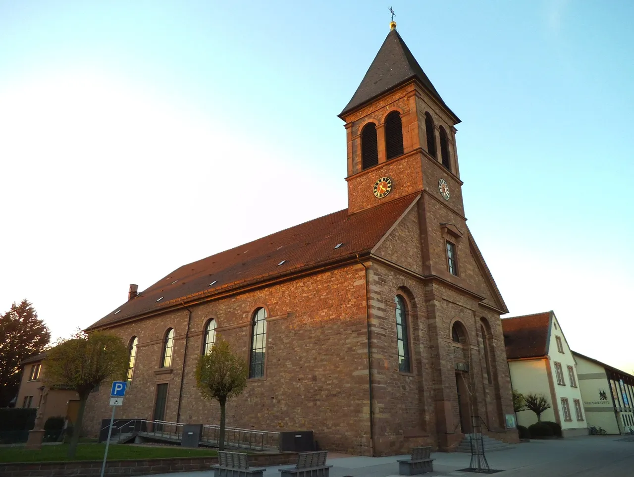
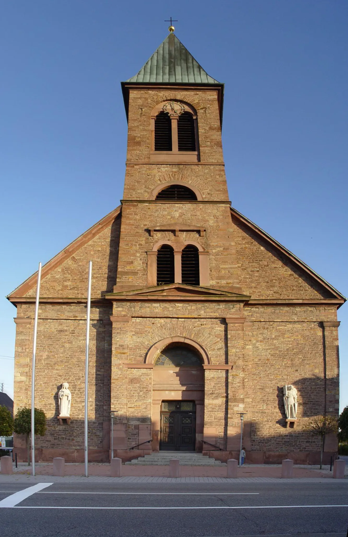
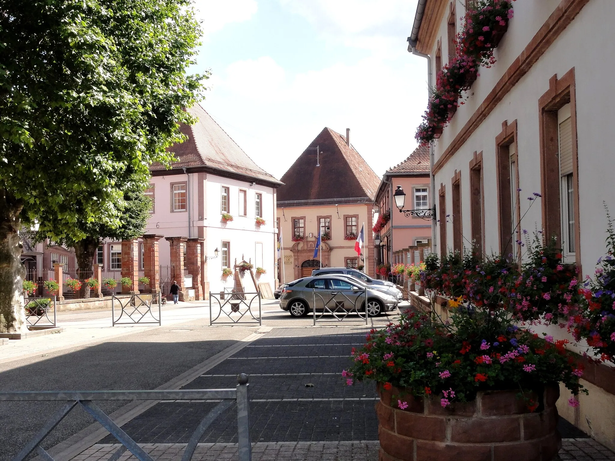
WissembourgTownWissembourg is a historic town located on the French-German border. Visit the medieval city walls and explore the picturesque streets lined with half-timbered houses.
51 km
51 km
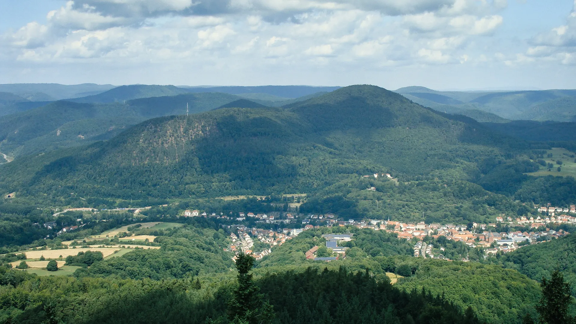
Bobenthaler Knopf534 mPeakBobenthaler Knopf is a natural rock formation located in the Palatinate Forest. Take a break and enjoy the panoramic views of the forest and surrounding countryside.
62 km
62 km
Hohe Eiche437 mPeakHohe Eiche is a hill located near Annweiler am Trifels. Hike to the top and enjoy the breathtaking views of the region, or visit the nearby Trifels Castle.
69 km
69 km
VorderweidenthalVillageVorderweidenthal is a peaceful village known for its beautiful landscapes and hiking trails. Take a break and explore the natural beauty of the Palatinate Forest.
77 km
77 km
Hornstein401 mPeak ViewpointHornstein is a hill located near Wissembourg and offers scenic views of the surrounding countryside. Hike to the top and enjoy the panoramic vistas.
84 km
84 km
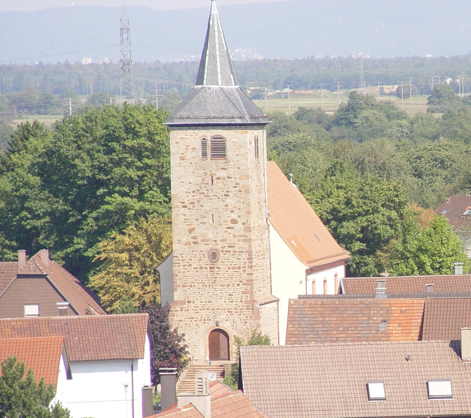
Annweiler am TrifelsTownAnnweiler am Trifels is a medieval town known for its charming architecture and the iconic Trifels Castle. Explore the castle and learn about its historical significance.
98 km
98 km
EnergieSüdwest-AussichtsturmViewpointEnergieSüdwest-Aussichtsturm is a lookout tower located in the Palatinate Forest. Climb to the top and enjoy the breathtaking views of the forest and surrounding area.
106 km
106 km
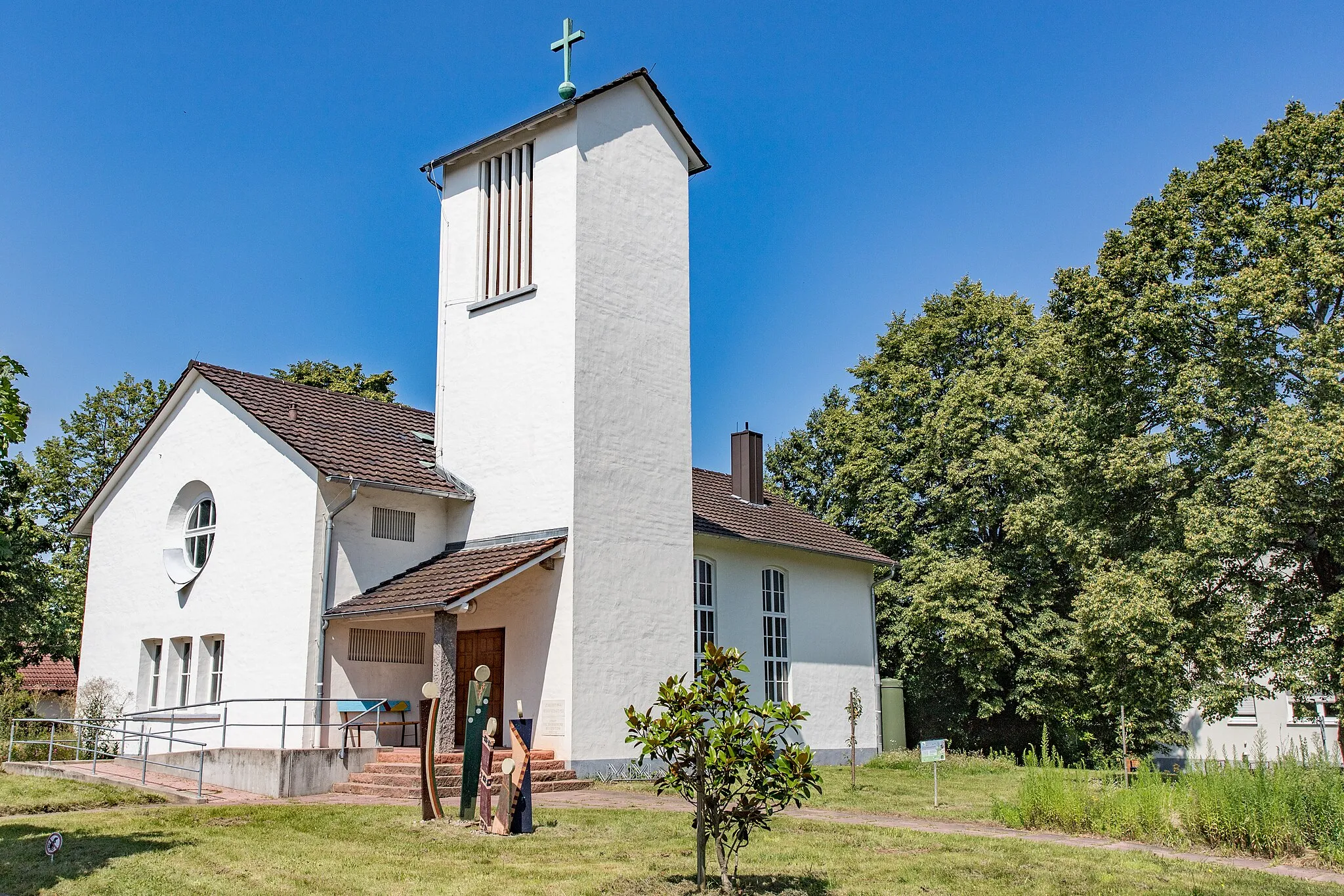
SteinweilerVillageSteinweiler is a picturesque village with a rich history. Take a break and explore the beautiful architecture and charming streets.
121 km
121 km
HagenbachVillageHagenbach is a small town located along the French-German border. Visit the historic town center and admire the well-preserved half-timbered houses.
137 km
137 km
MunchhausenVillage161 km
161 km
WiedeofenAttraction162 km
162 km
Finish: Steinmauern Village centerSteinmauern: Explore the scenic countryside while enjoying a cyclist-friendly environment in Steinmauern.
Cycling routes nearby: