Gorpion's Challenge
A road cycling route starting from Friedewald
Experience the ultimate road cycling challenge near Friedewald
Map

Experience an epic road cycling journey with the Gorpion's Challenge. This 100 km route takes you through breathtaking landscapes and challenging terrains. With a total ascent of 1126 m, this route is recommended for well-trained amateur cyclists. Highlights along the route include the Wehrshausen, Soisberg, Hutzelfeuer, Hofaschenbach, Marbach, Müllersrain, Müsenbach, Obersberg, Sorga, and Sängerhütte.
road
100 km
1126 m
Tough
Route profile
Highlights on the route
0 km
0 km
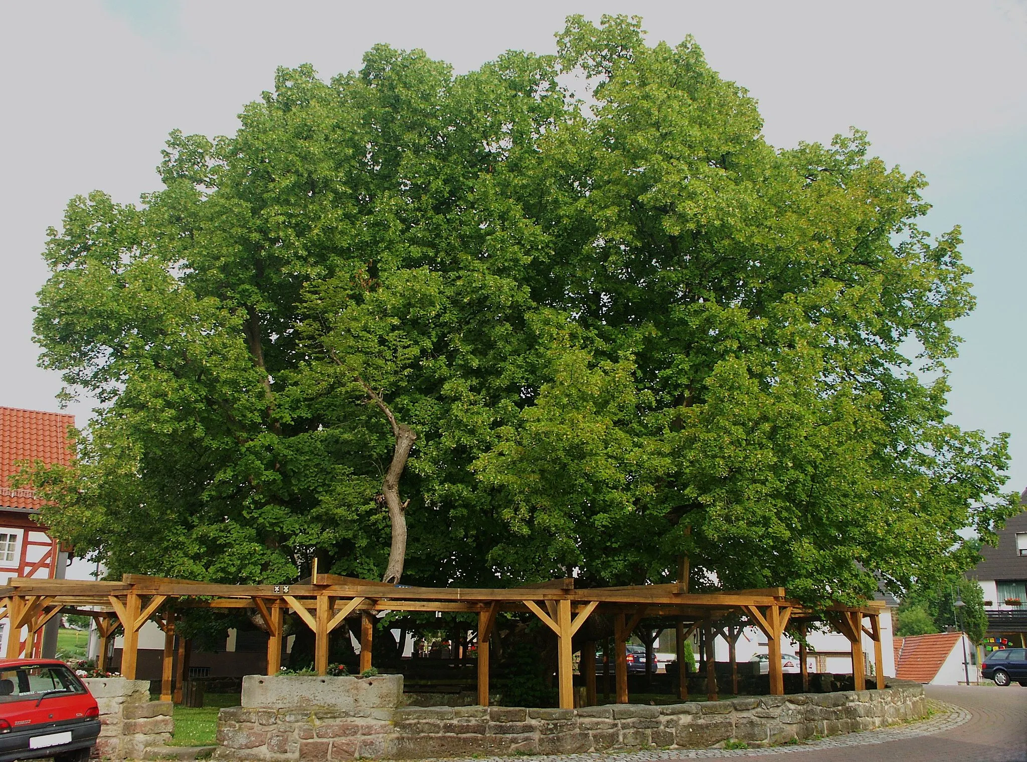
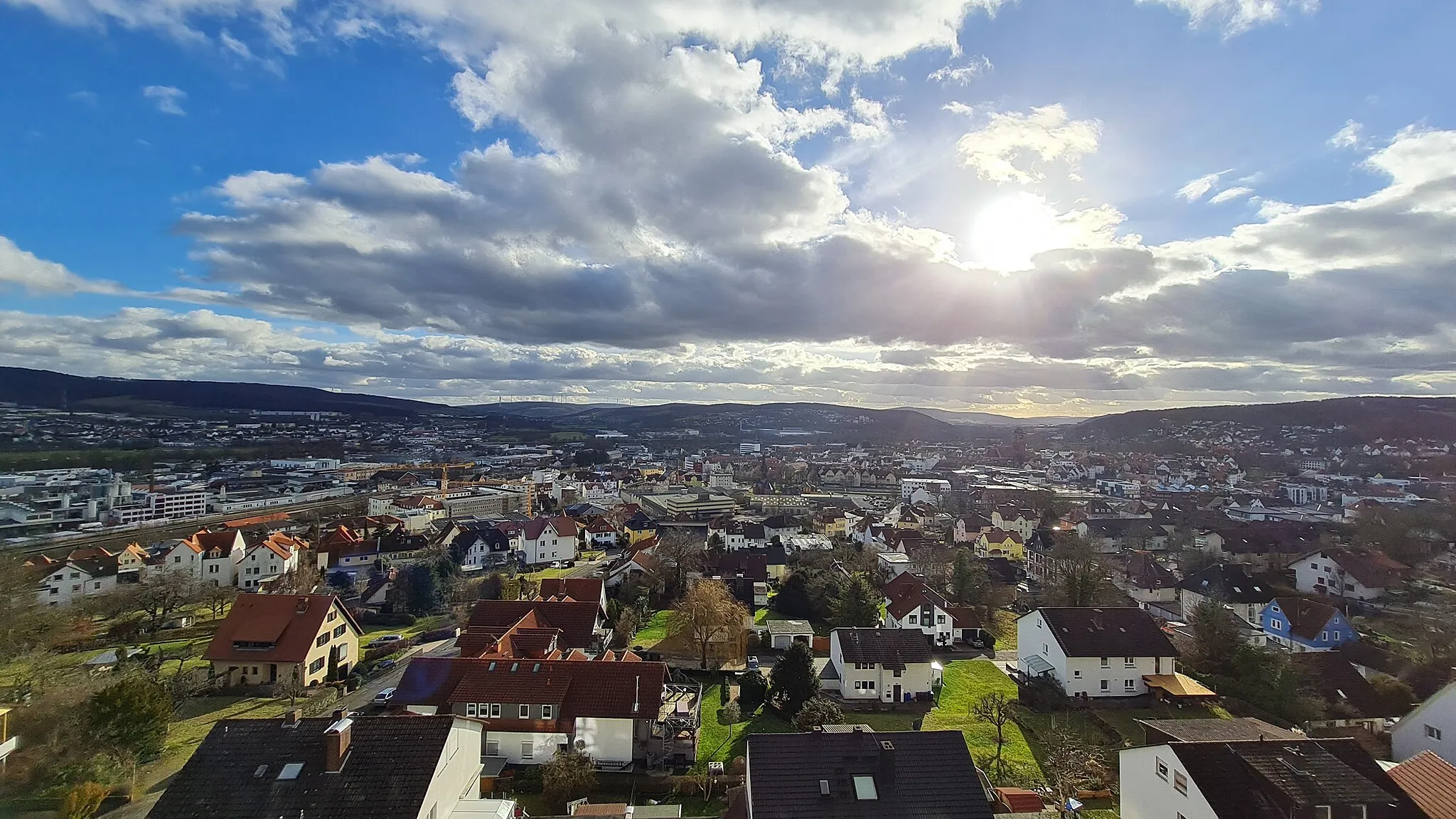
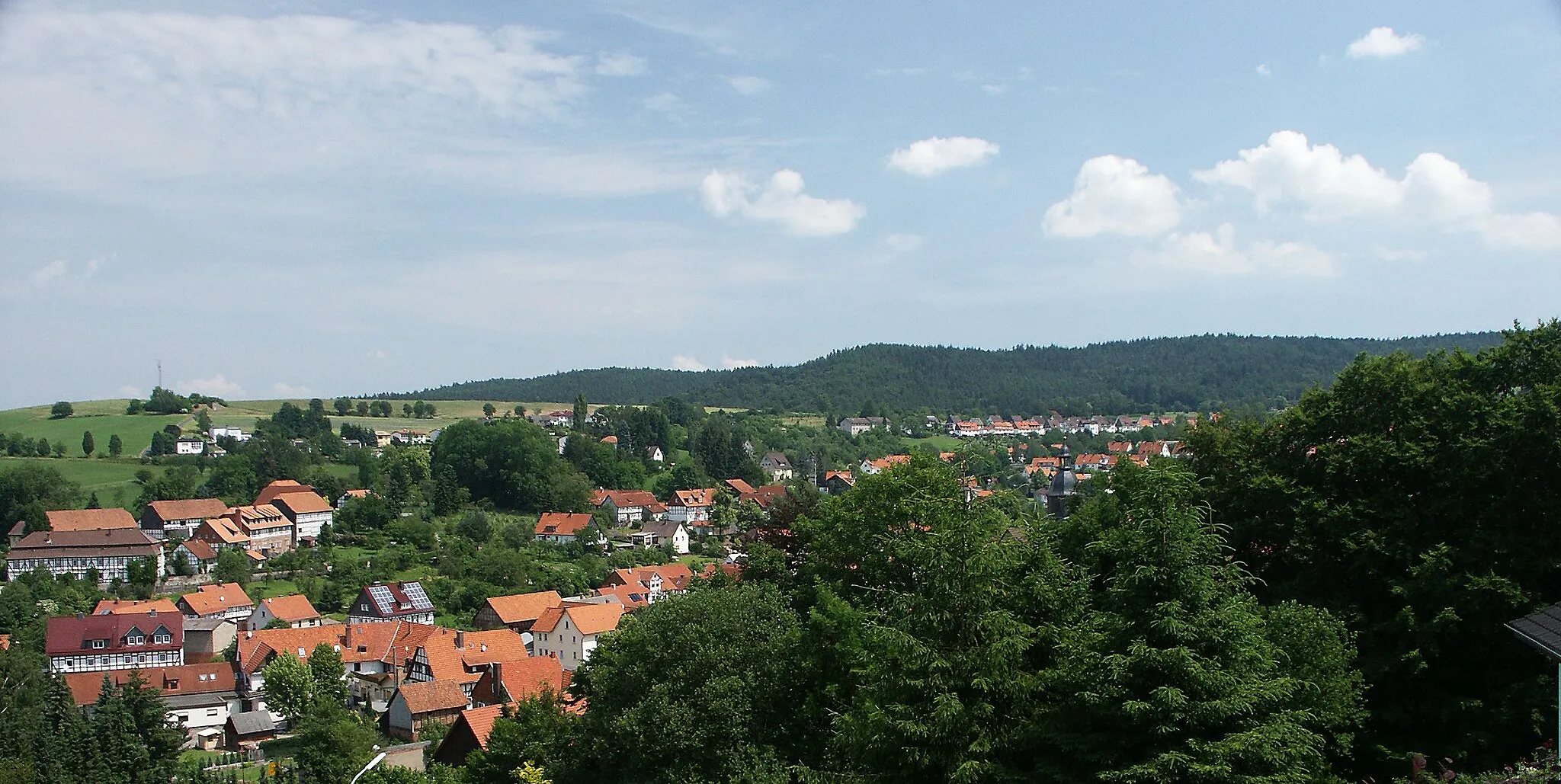
Start: Friedewald Village centerFriedewald: Picturesque landscapes and legendary climbs await.
Friedewald, situated in Germany's Kassel region, is a cyclist's paradise. The town offers an extensive network of well-maintained cycling routes suitable for all levels of riders. Cyclists can pedal through the lush green countryside, passing charming villages and historic landmarks. Friedewald is located near Kellerwald-Edersee National Park, offering cyclists the opportunity to explore scenic trails and beautiful natural surroundings. Additionally, the region hosts numerous cycling events and boasts several famous climbs, including the legendary Carlsfreit Presidents Cup route. With its cycling-friendly infrastructure and picturesque landscapes, Friedewald is a must-visit destination for cyclists.10 km
10 km
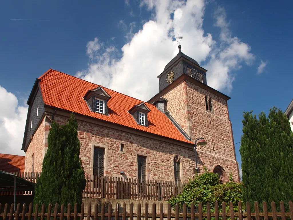
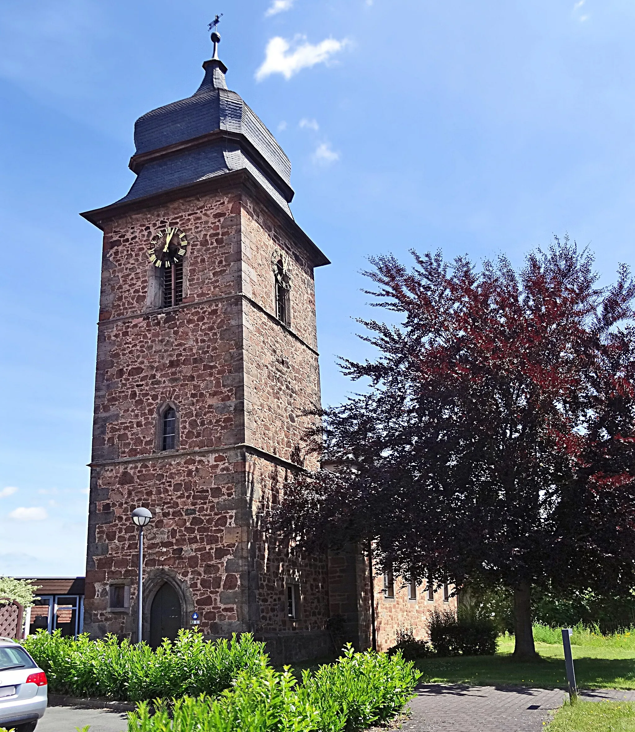
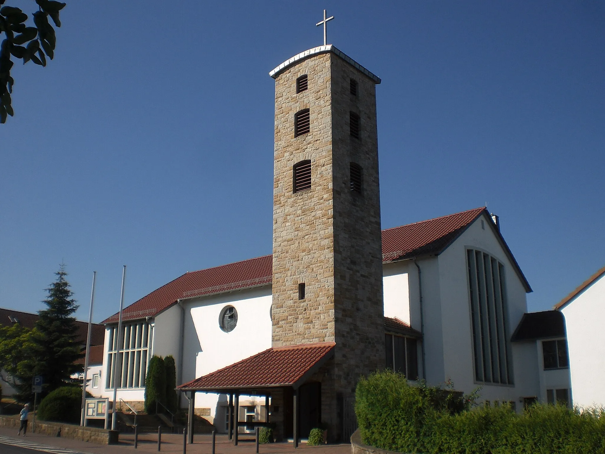
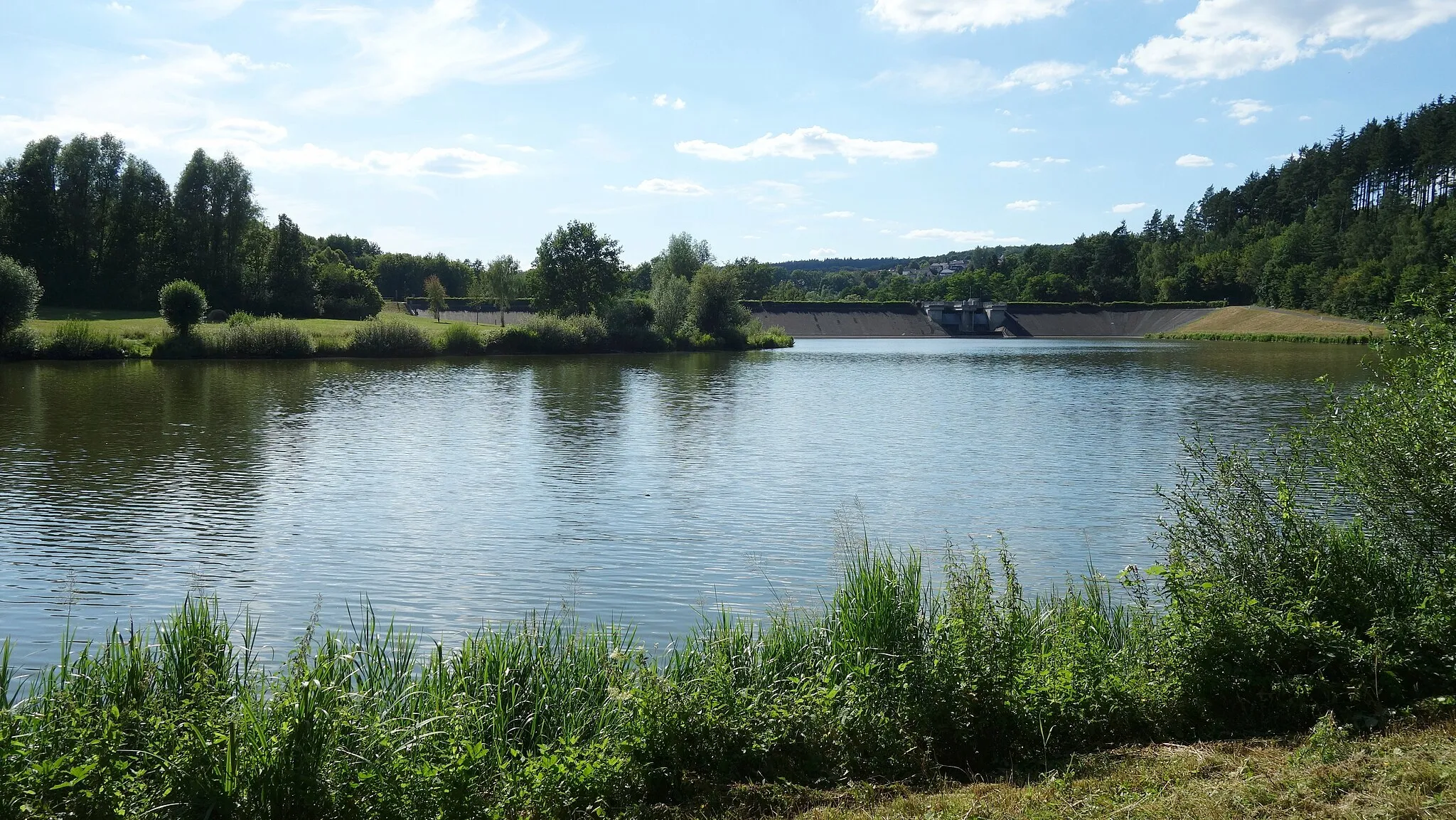
WehrshausenVillageExperience the historical charm of Wehrshausen, known for its old city walls and beautiful architecture.
12 km
12 km
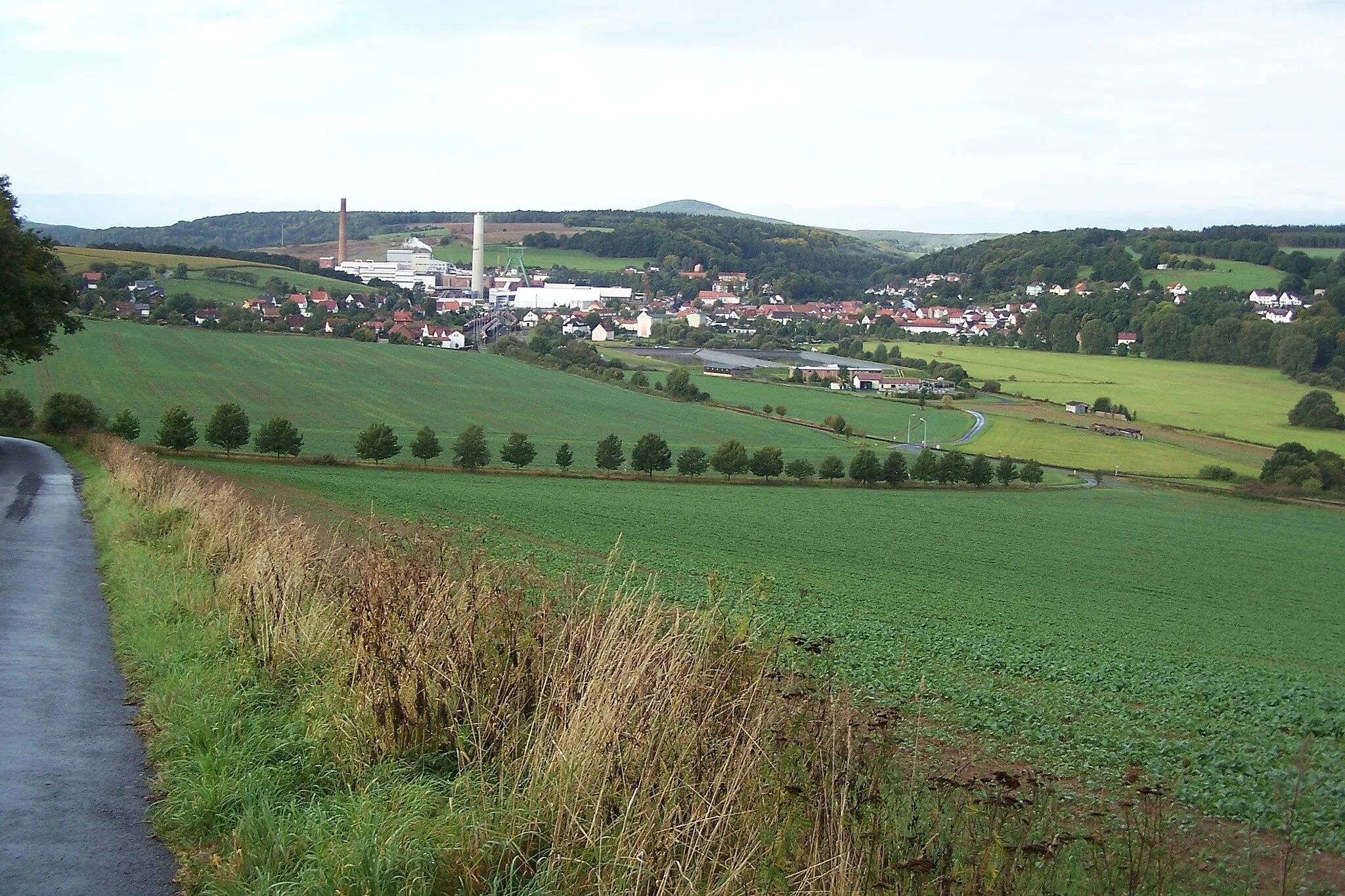
Soisberg629 mPeakSoisberg offers stunning views of the surrounding countryside and is a hidden gem for cyclists.
36 km
36 km
HutzelfeuerViewpointJoin the locals in celebrating the traditional Hutzelfeuer festival at Hutzelfeuer, where bonfires light up the night sky.
36 km
36 km
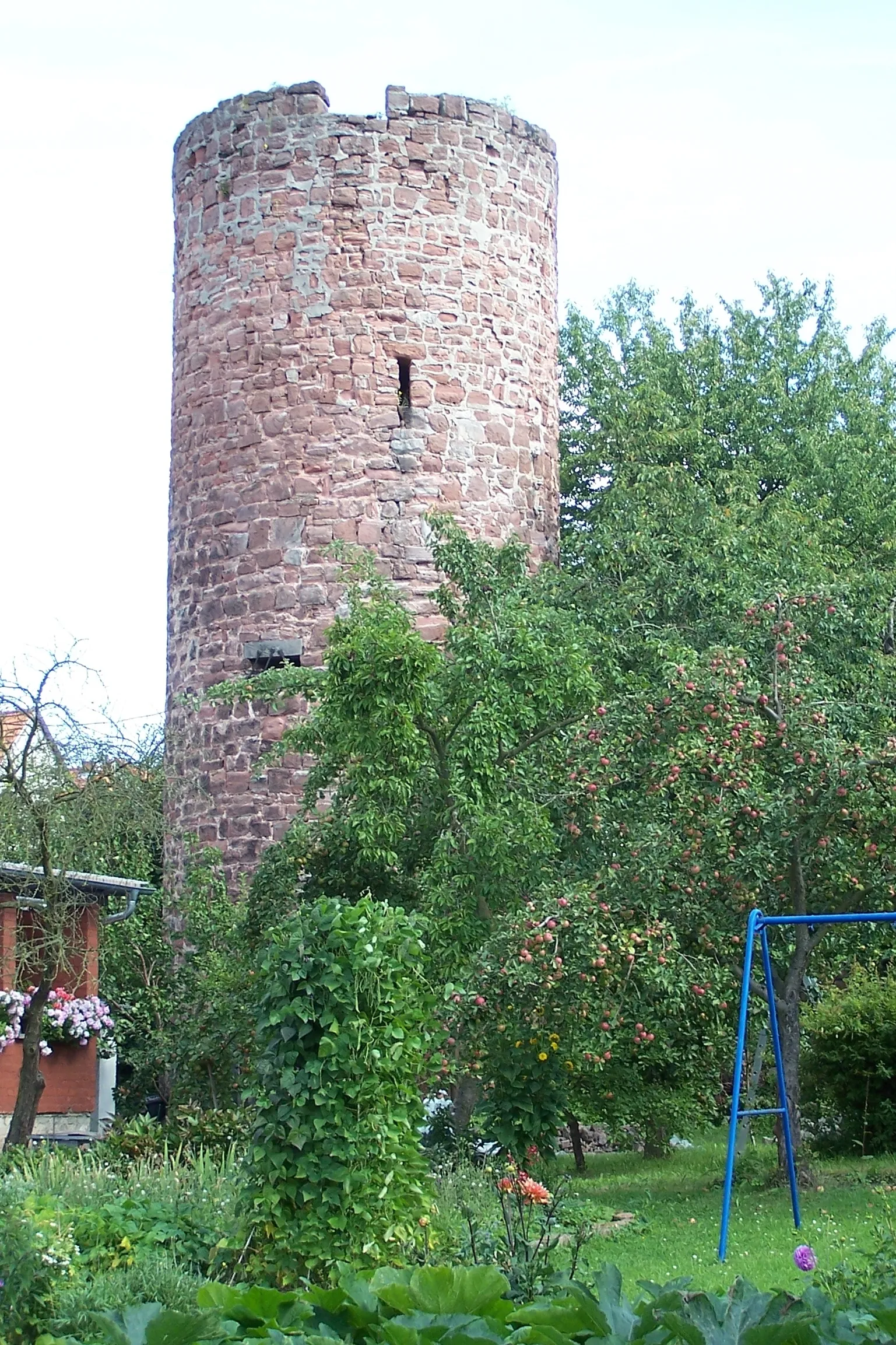
HofaschenbachVillageHofaschenbach is a picturesque village with charming half-timbered houses and a welcoming atmosphere.
54 km
54 km
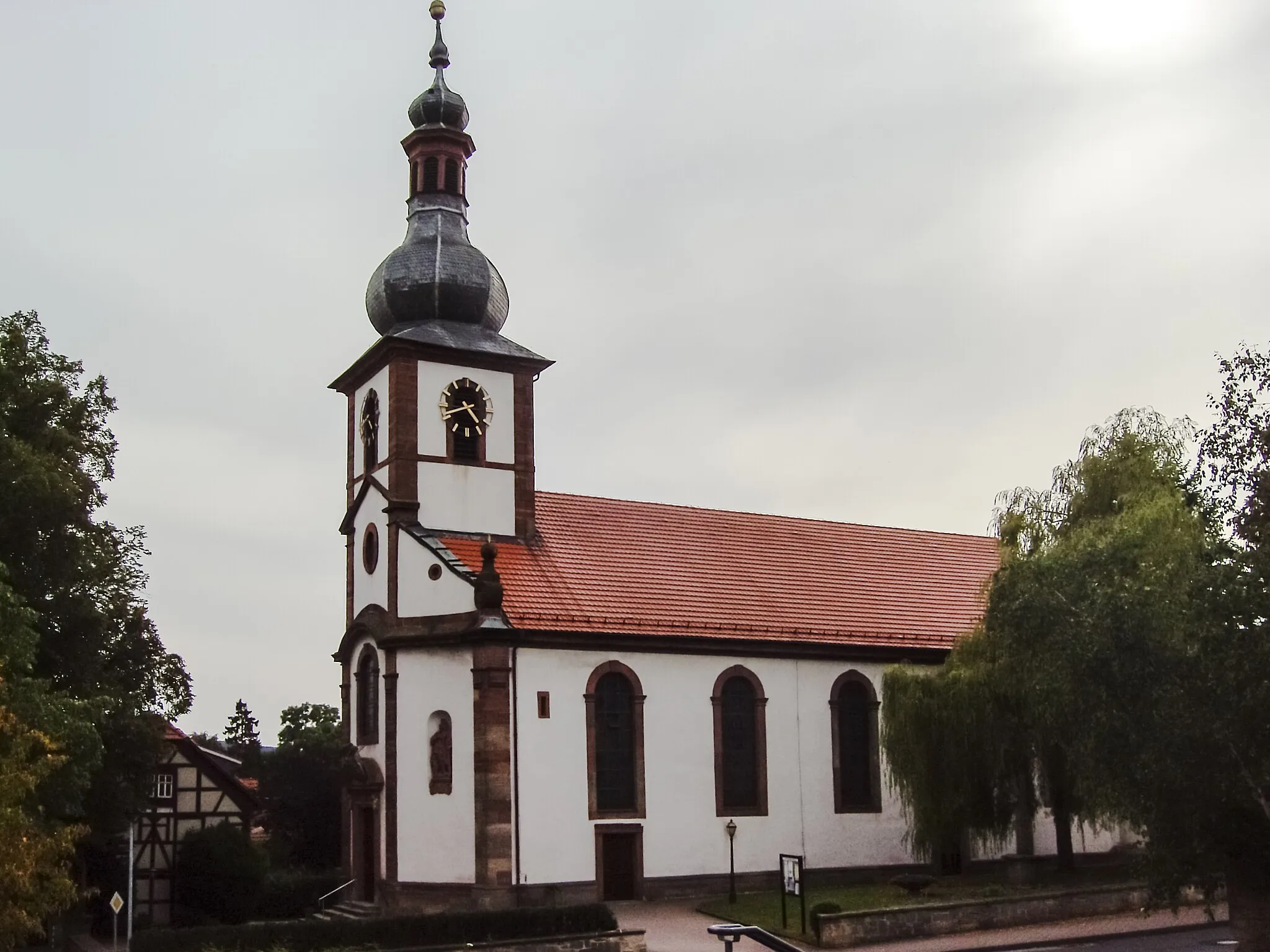
MarbachVillageMarbach is a small town known for its historic castle and scenic beauty.
59 km
59 km
Müllersrain306 mPeakMüllersrain is a quaint countryside hamlet with idyllic landscapes.
77 km
77 km
MüsenbachHamletMüsenbach is a cozy village surrounded by rolling hills and lush greenery.
89 km
89 km
Obersberg300 mPeakObersberg is home to the stunning Obersberg Castle, offering panoramic views of the region.
90 km
90 km
SorgaVillageSorga is a charming village along the route, ideal for a short break and refreshments.
98 km
98 km
SängerhütteViewpointStop by the Sängerhütte, a popular meeting point for cyclists, and enjoy some well-deserved rest.
100 km
100 km
Finish: Friedewald Village centerFriedewald: Picturesque landscapes and legendary climbs await.
Cycling routes nearby: