Hills and Valleys
A road cycling route starting from Friedewald
Uncover the beauty of hills and valleys near Friedewald
Map
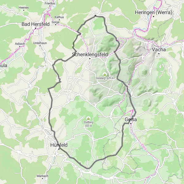
This 79 km road cycling route showcases the stunning hills and valleys near Friedewald. With an ascent of 1005 m, this route is suitable for intermediate cyclists. Highlights along the route include Dreienberg, Lautenhausen, Mansbach, Standorfsberg, Geismar, Dörnberg, Sonnenuhr, Hünfeld, Hauberg, Wüstfeld, Sängerhütte, and Wasserburg Friedewald.
road
79 km
1005 m
Tough
Route profile
Highlights on the route
0 km
0 km
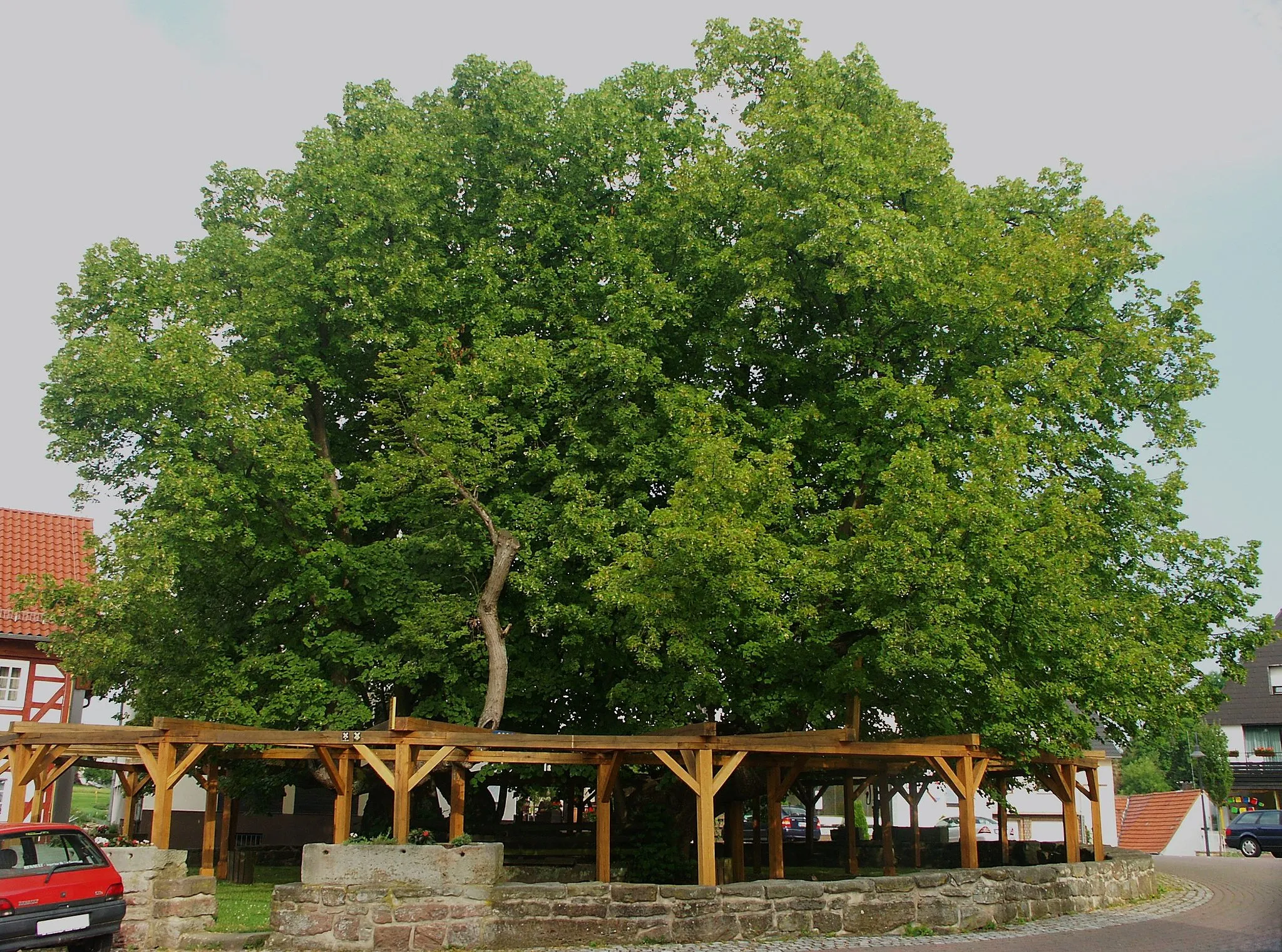
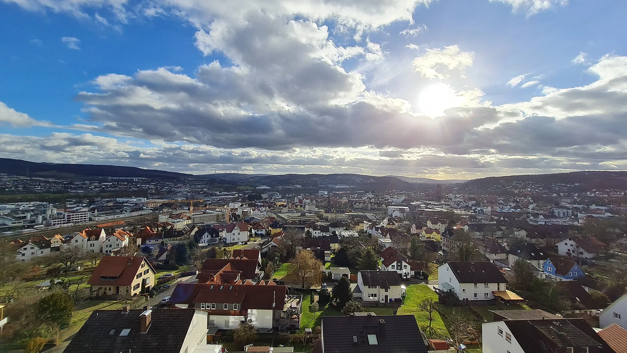
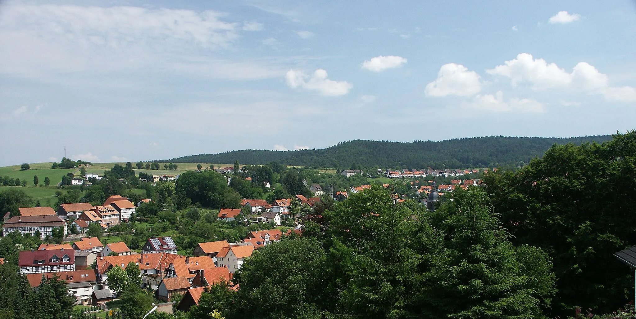
Start: Friedewald Village centerFriedewald: Picturesque landscapes and legendary climbs await.
Friedewald, situated in Germany's Kassel region, is a cyclist's paradise. The town offers an extensive network of well-maintained cycling routes suitable for all levels of riders. Cyclists can pedal through the lush green countryside, passing charming villages and historic landmarks. Friedewald is located near Kellerwald-Edersee National Park, offering cyclists the opportunity to explore scenic trails and beautiful natural surroundings. Additionally, the region hosts numerous cycling events and boasts several famous climbs, including the legendary Carlsfreit Presidents Cup route. With its cycling-friendly infrastructure and picturesque landscapes, Friedewald is a must-visit destination for cyclists.0 km
0 km
Dreienberg511 mPeakDreienberg offers challenging climbs and rewarding views of the surrounding hills and valleys.
2 km
2 km
LautenhausenVillageLautenhausen is a road cyclist's paradise, with numerous twists and turns through scenic countryside.
14 km
14 km
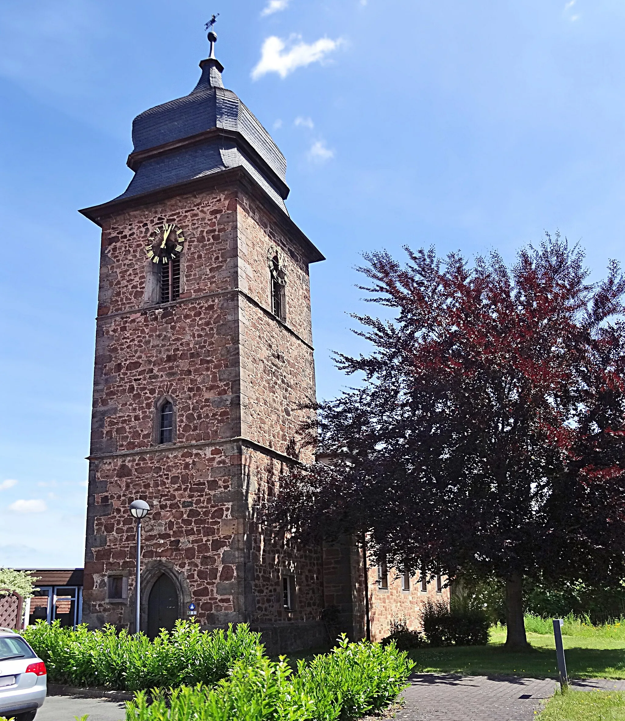
MansbachVillageMansbach is a quaint village known for its picturesque countryside and peaceful ambiance.
18 km
18 km
Standorfsberg386 mPeakStandorfsberg offers sweeping descents and breathtaking views of the surrounding landscapes.
29 km
29 km
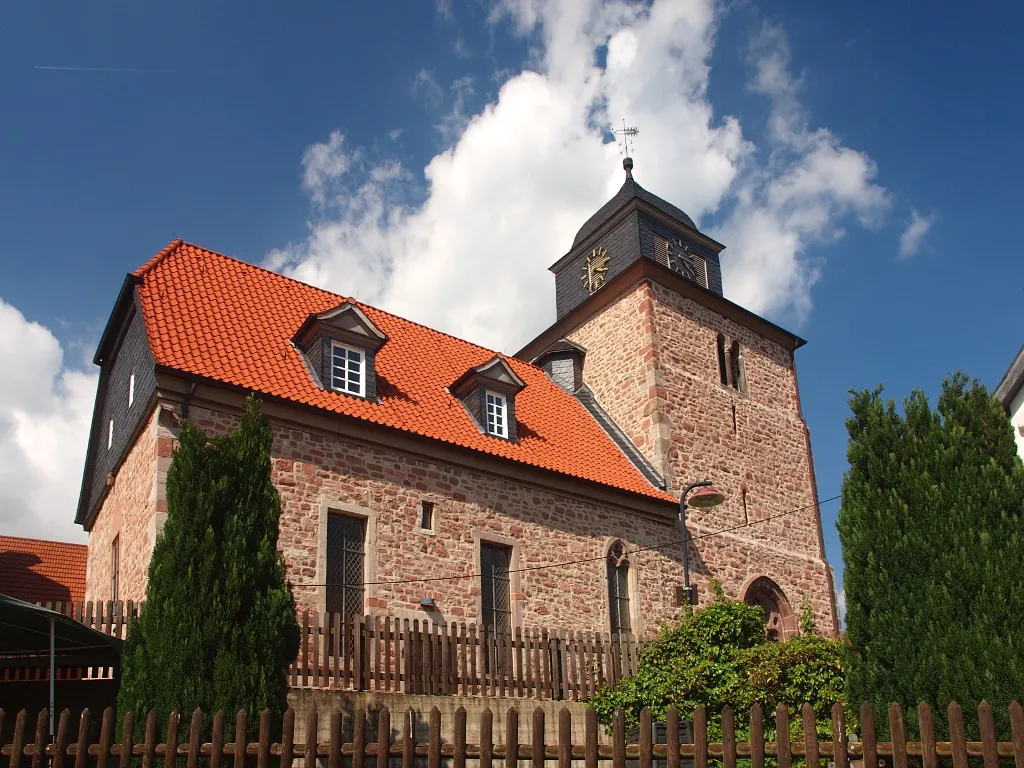
GeismarVillageGeismar is a charming village with a tranquil atmosphere and historic landmarks.
34 km
34 km
Dörnberg522 mPeakDörnberg is a road cycling playground, with meandering routes and stunning vistas.
45 km
45 km
SonnenuhrViewpointSonnenuhr is a fantastic vantage point providing panoramic views over the hilly landscapes.
46 km
46 km
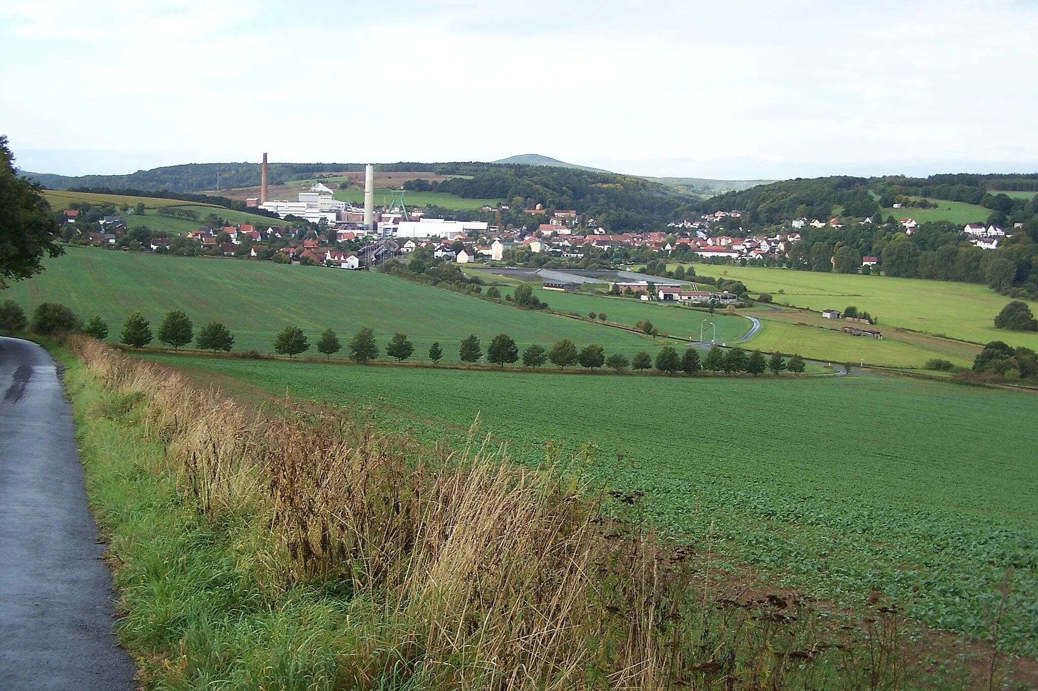
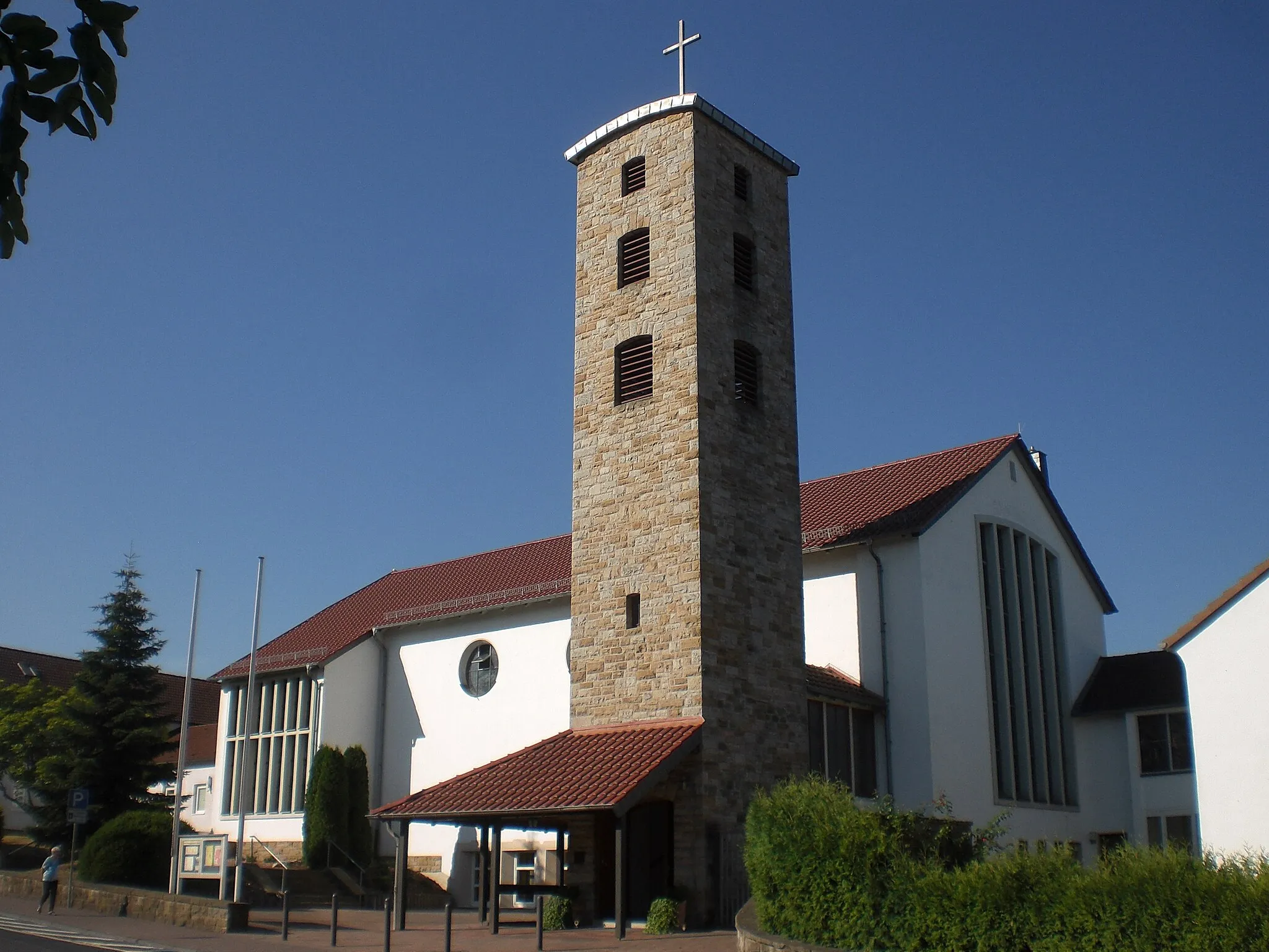
HünfeldTownHünfeld offers diverse terrain, challenging climbs, and scenic rural roads.
64 km
64 km
Hauberg425 mPeakHauberg boasts rolling vineyards, quaint villages, and a welcoming atmosphere.
69 km
69 km
WüstfeldVillageWüstfeld is a hidden gem with picturesque valleys and charming rural landscapes.
77 km
77 km
SängerhütteViewpointSängerhütte is a popular meeting point for cyclists, offering scenic beauty and relaxation.
78 km
78 km
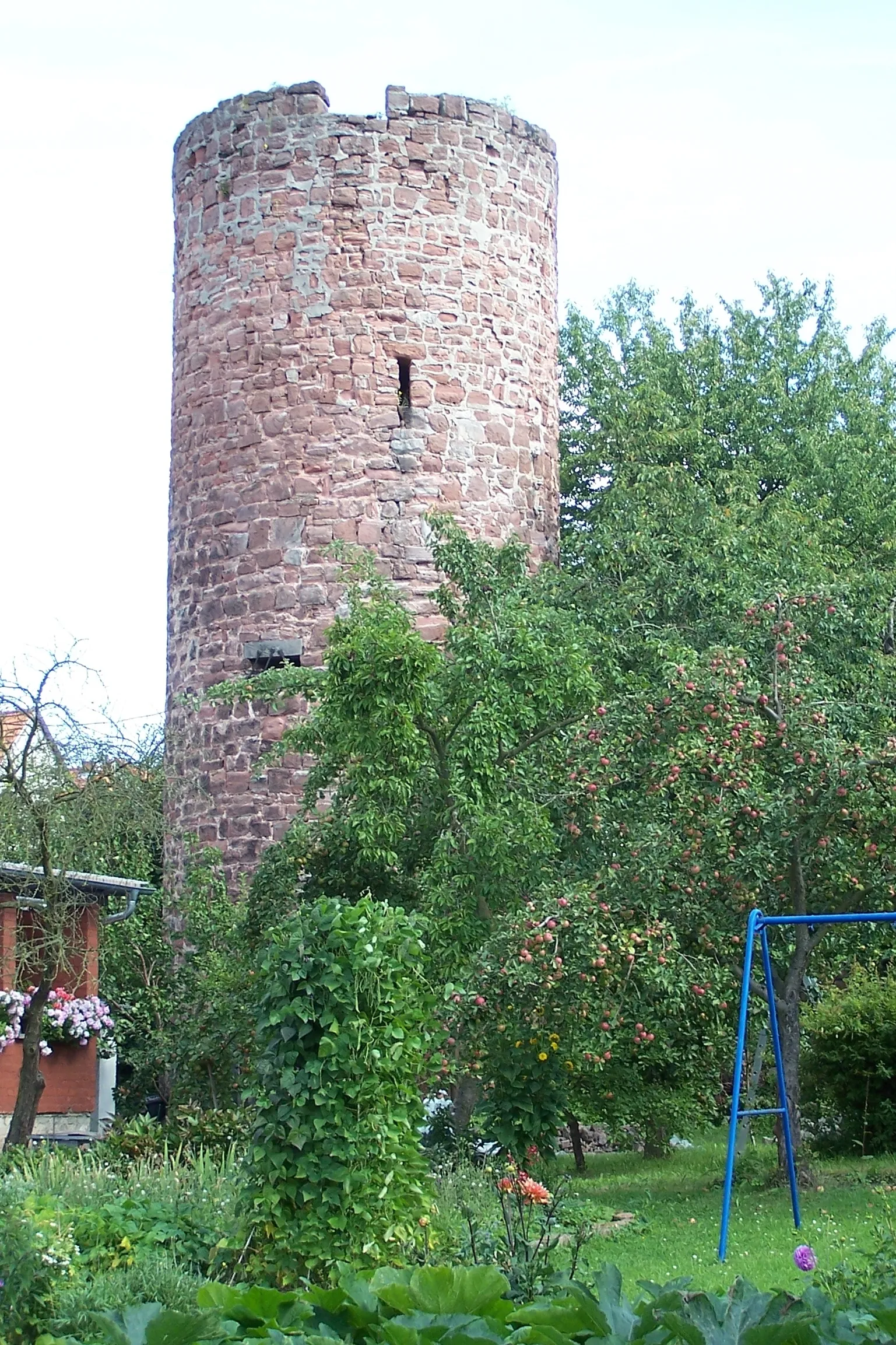
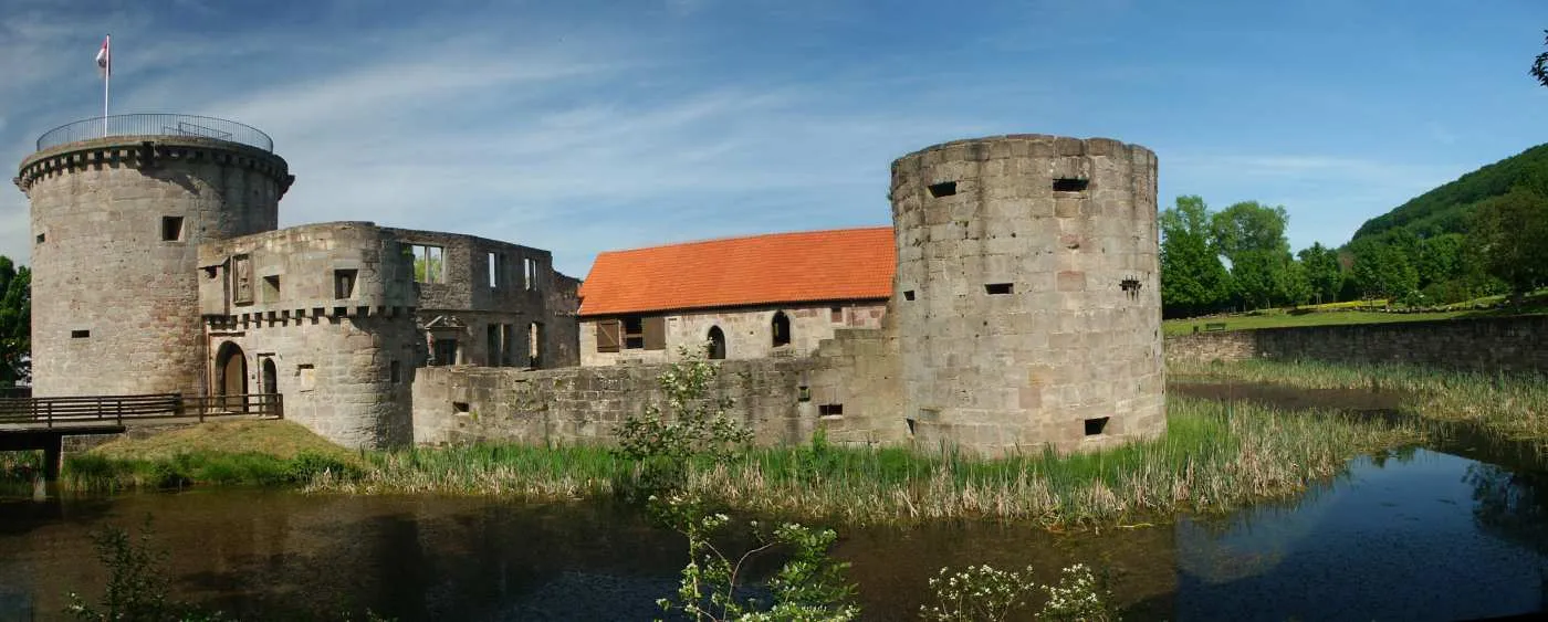
Wasserburg FriedewaldCastleWasserburg Friedewald is a must-visit historic site, with stunning architecture and captivating stories.
79 km
79 km
Finish: Friedewald Village centerFriedewald: Picturesque landscapes and legendary climbs await.
Cycling routes nearby: